Elevation of Hague, ND, USA
Location: United States > North Dakota > Emmons County >
Longitude: -99.995668
Latitude: 46.0285994
Elevation: 578m / 1896feet
Barometric Pressure: 95KPa
Elevation Map:
Satellite Map:
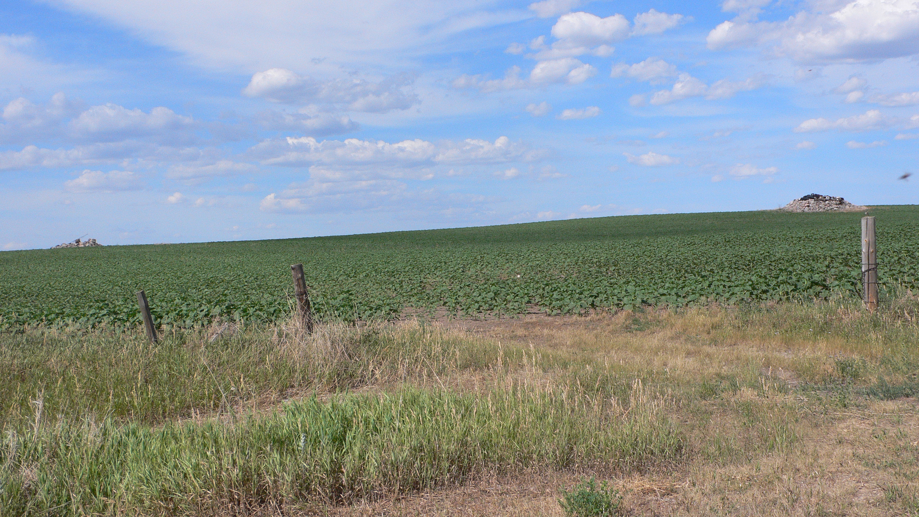
Related Photos:

Blowin' in the wind...

Country Cute

Scorched Remnants

Zeeland Park

Dakota Sunset

Zeeland, North Dakota

Hull, North Dakota

Westfield, North Dakota

Westfield, North Dakota

Hull, North Dakota

Hull, North Dakota

Hull, North Dakota
P1020522.JPG

God Bless America

North Dakota

Zeeland, North Dakota

Hague, North Dakota
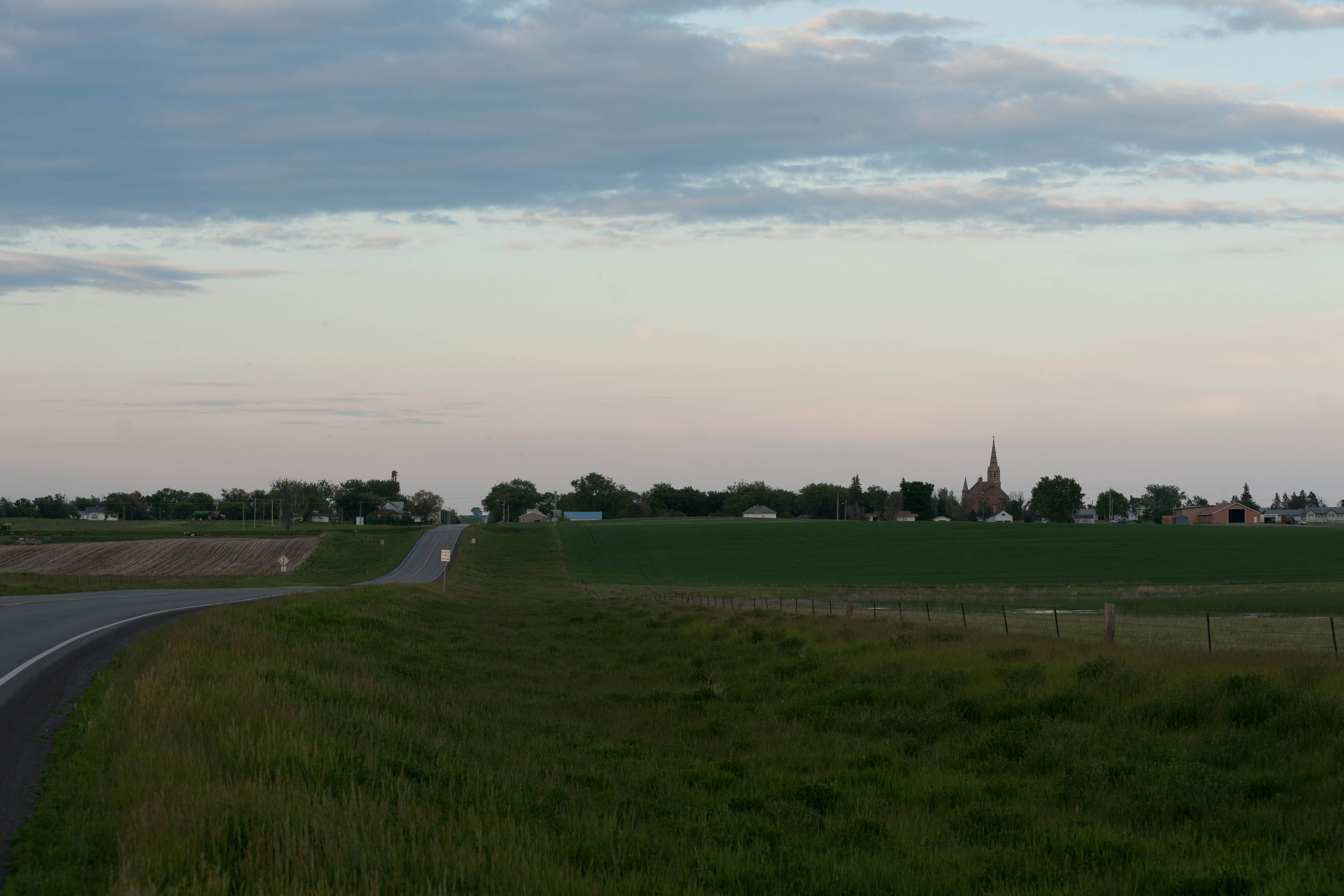
Hague, North Dakota
Topographic Map of Hague, ND, USA
Find elevation by address:

Places near Hague, ND, USA:
Strasburg
Main St, Strasburg, ND, USA
Campbell County
Herreid
Main St S, Herreid, SD, USA
9685 7th Ave Se
Linton
S Broadway St, Linton, ND, USA
Emmons County
West Walworth
Mobridge
Walworth County
Potter County
Gettysburg
West Potter
US-, Gettysburg, SD, USA
72 Sesame St, Eagle Butte, SD, USA
Recent Searches:
- Elevation of Woodland Oak Pl, Thousand Oaks, CA, USA
- Elevation of Brownsdale Rd, Renfrew, PA, USA
- Elevation of Corcoran Ln, Suffolk, VA, USA
- Elevation of Mamala II, Sariaya, Quezon, Philippines
- Elevation of Sarangdanda, Nepal
- Elevation of 7 Waterfall Way, Tomball, TX, USA
- Elevation of SW 57th Ave, Portland, OR, USA
- Elevation of Crocker Dr, Vacaville, CA, USA
- Elevation of Pu Ngaol Community Meeting Hall, HWHM+3X7, Krong Saen Monourom, Cambodia
- Elevation of Royal Ontario Museum, Queens Park, Toronto, ON M5S 2C6, Canada