Elevation of Hagin St, Guyton, GA, USA
Location: United States > Georgia > Effingham County > Guyton >
Longitude: -81.391088
Latitude: 32.28678
Elevation: 24m / 79feet
Barometric Pressure: 101KPa
Elevation Map:
Satellite Map:
Related Photos:

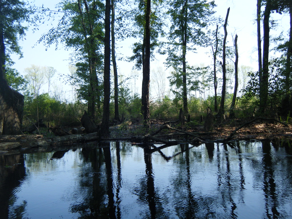
Light reached into the swamp.

Another look at Black Creek

A December Sunset...

Hummingbird-2859

July22 (11 of 115)

July22 (14 of 115)

July23 (7 of 53)

From this morning after the mist began to clear.

Hummingbird-2854

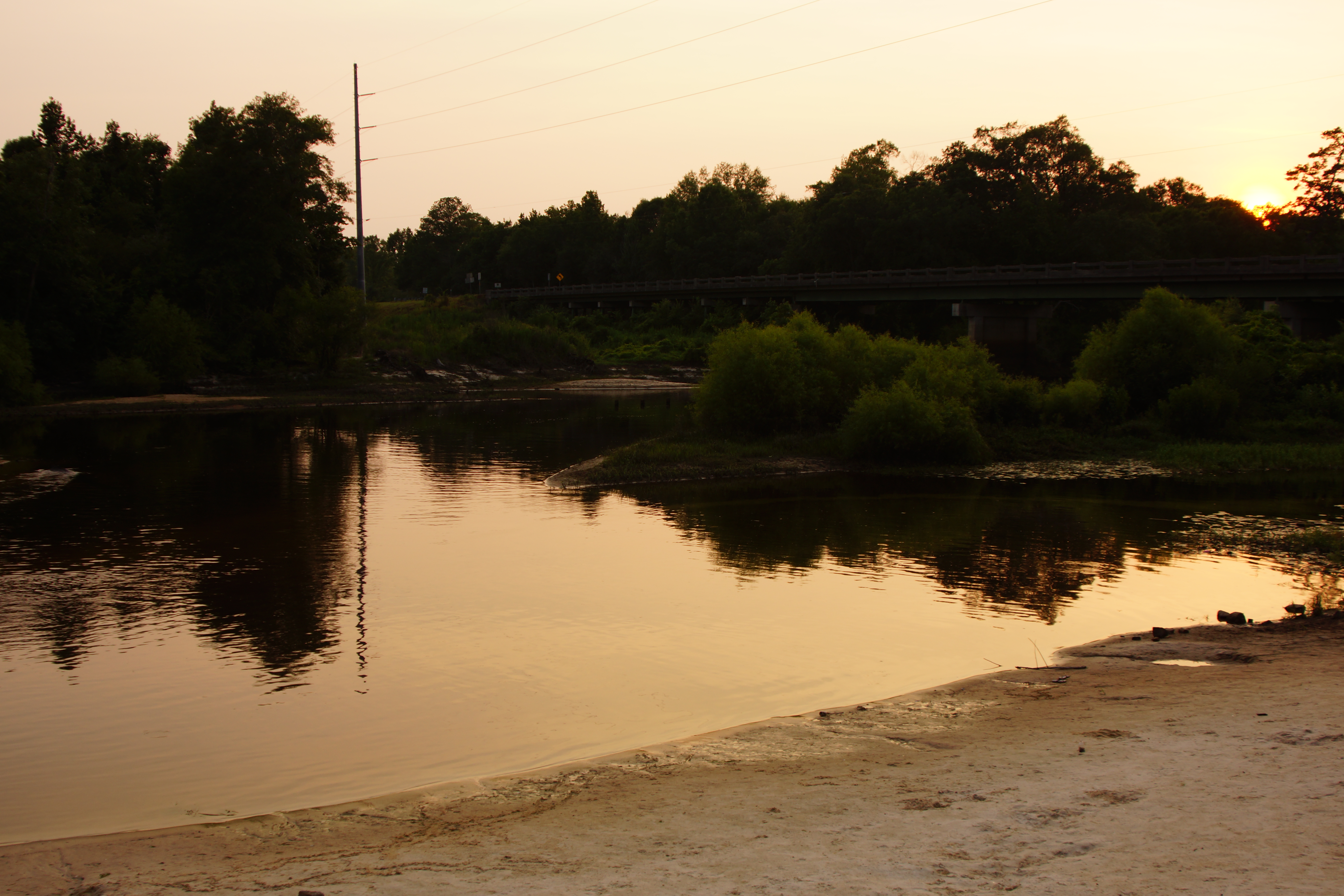
#sunset over the Ogeechee River on GA-80.

Hummingbird-2796

Black Creek Fallen Tree
The Ogeechee River

Approaching the Railroad Trestle

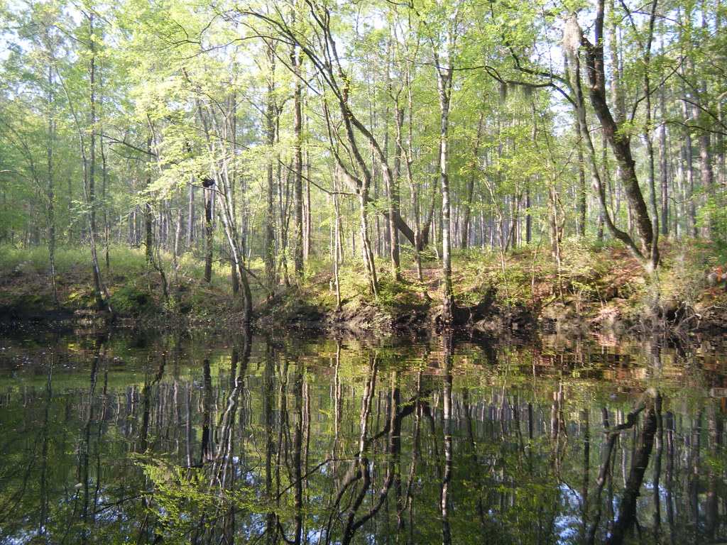
Sunlight and Moss

James Way Back on Ebenezer
Clear cut area
Bluffs on Ebenezer Creek

Starting at at Log Landing
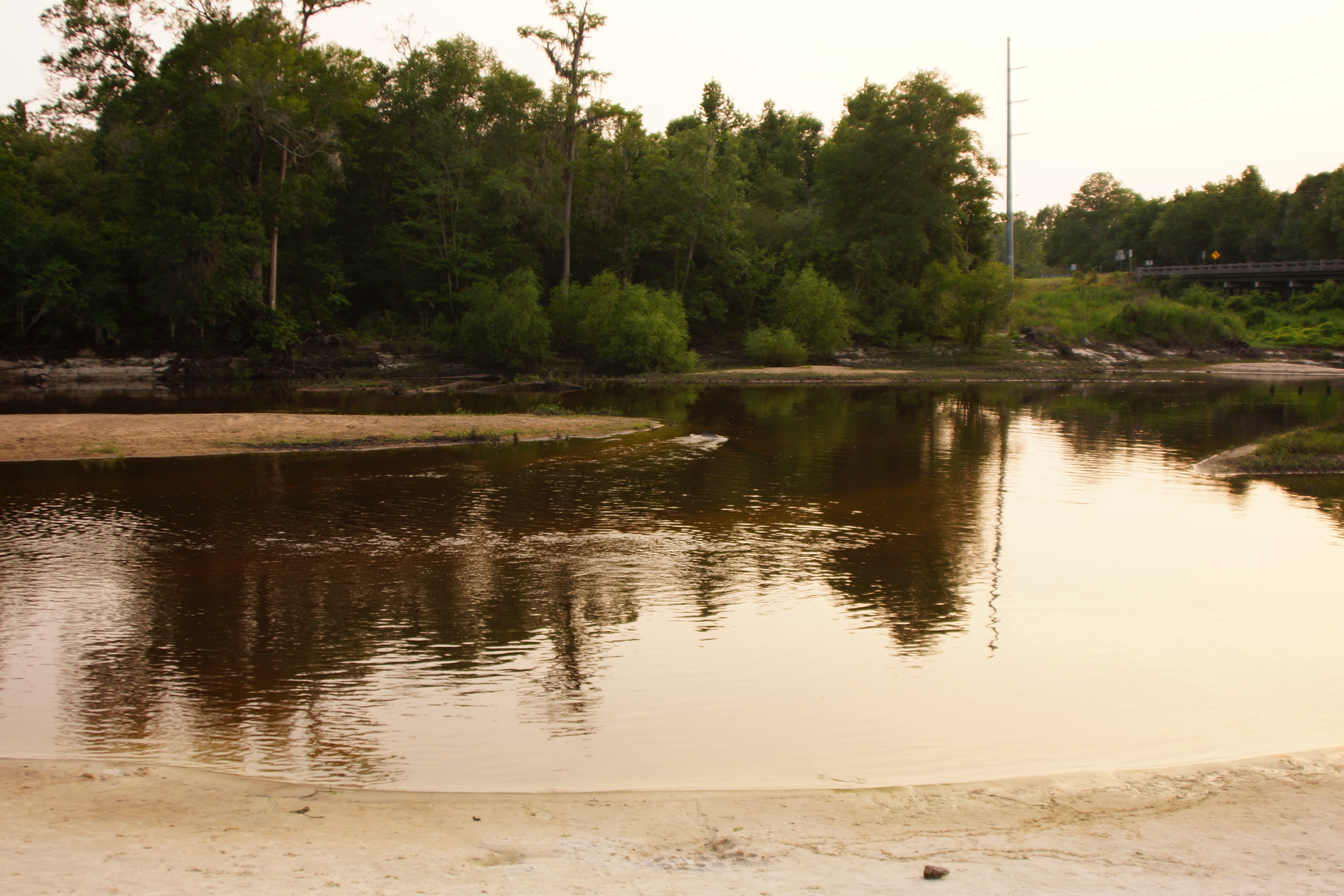
The Ogeechee River
Stand at Old Ebenezer Creek
Topographic Map of Hagin St, Guyton, GA, USA
Find elevation by address:

Places near Hagin St, Guyton, GA, USA:
160 Atlantic Ave
220 6th St
Central Ave, Guyton, GA, USA
2 Live Oak Trail
112 Penny Ln
118 Penny Ln
280 Barrister Cir
2559 Courthouse Rd
305 Pine St
1609 Midland Rd
Rosebud Place
Guyton
249 Cedar Ln
94 Ogeechee River Dr
1943 Midland Rd
192 Magnolia Pl
195 Magnolia Pl
Satinwood Drive
Satinwood Drive
Satinwood Drive
Recent Searches:
- Elevation of Corso Fratelli Cairoli, 35, Macerata MC, Italy
- Elevation of Tallevast Rd, Sarasota, FL, USA
- Elevation of 4th St E, Sonoma, CA, USA
- Elevation of Black Hollow Rd, Pennsdale, PA, USA
- Elevation of Oakland Ave, Williamsport, PA, USA
- Elevation of Pedrógão Grande, Portugal
- Elevation of Klee Dr, Martinsburg, WV, USA
- Elevation of Via Roma, Pieranica CR, Italy
- Elevation of Tavkvetili Mountain, Georgia
- Elevation of Hartfords Bluff Cir, Mt Pleasant, SC, USA