Elevation of Hackworth Hill Rd, Otway, OH, USA
Location: United States > Ohio > Scioto County > Rarden Township >
Longitude: -83.205818
Latitude: 38.9230599
Elevation: 320m / 1050feet
Barometric Pressure: 98KPa
Elevation Map:
Satellite Map:
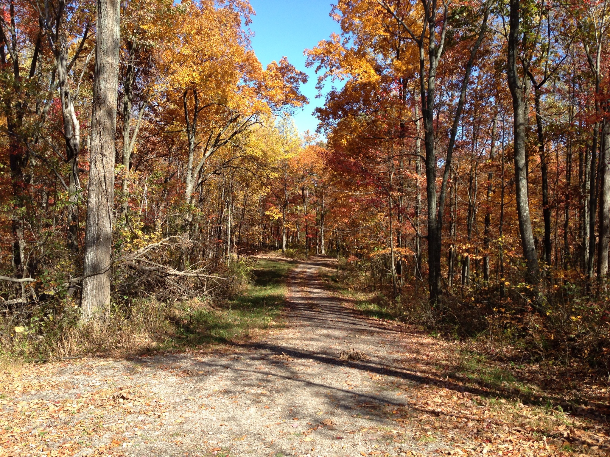
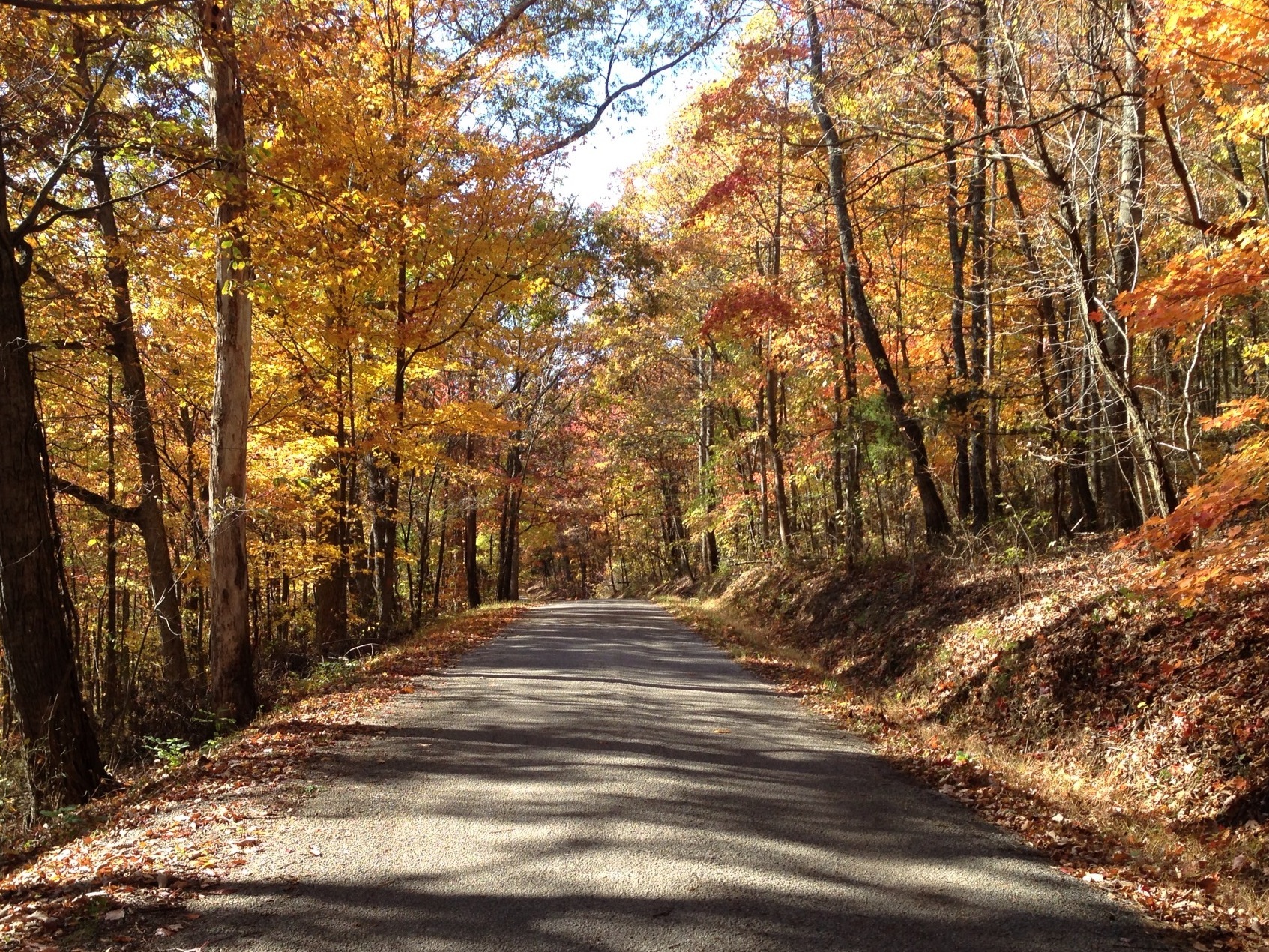
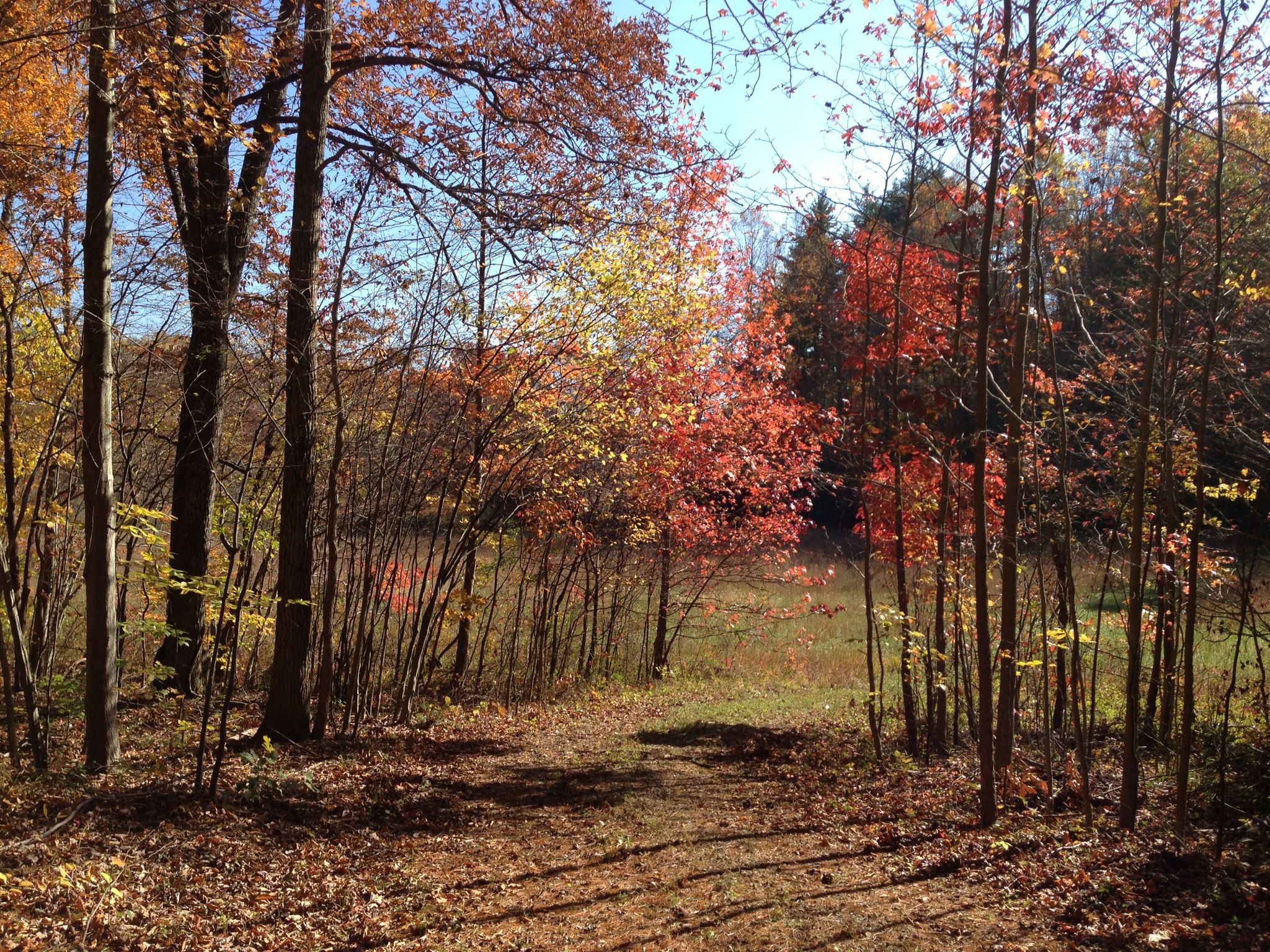
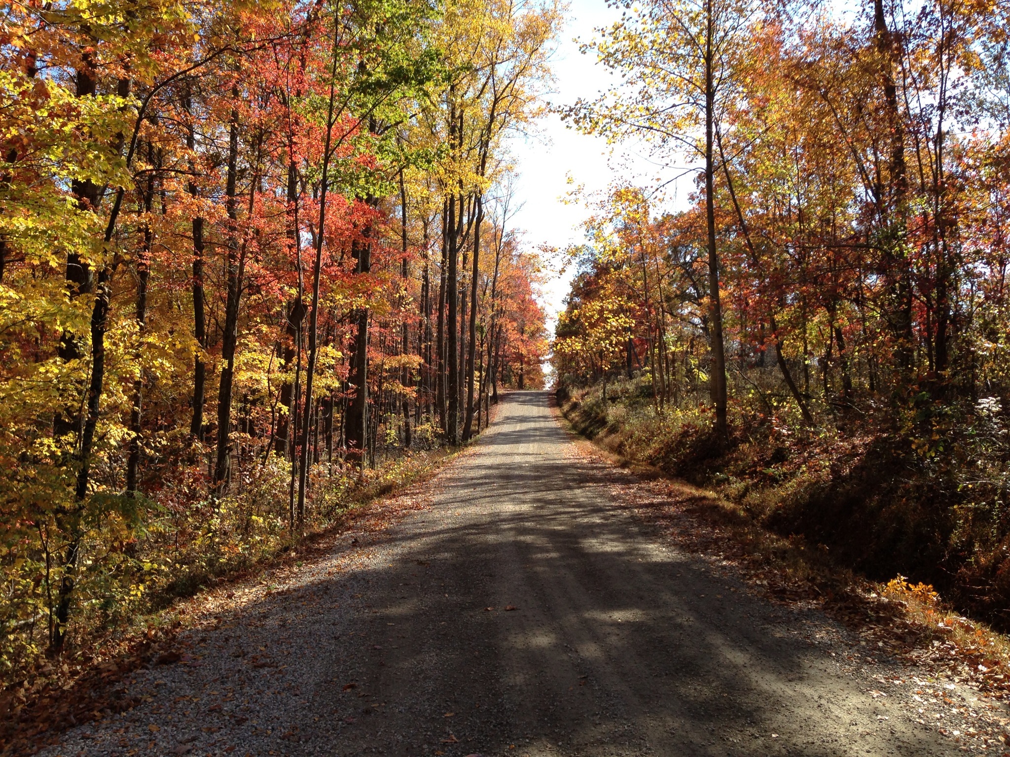
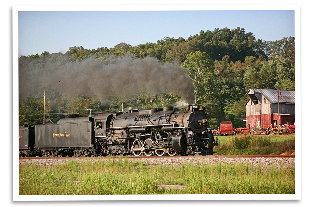
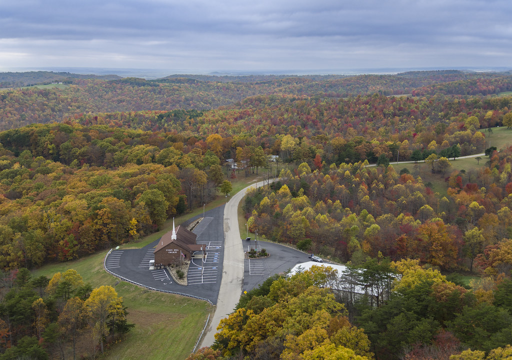
Related Photos:
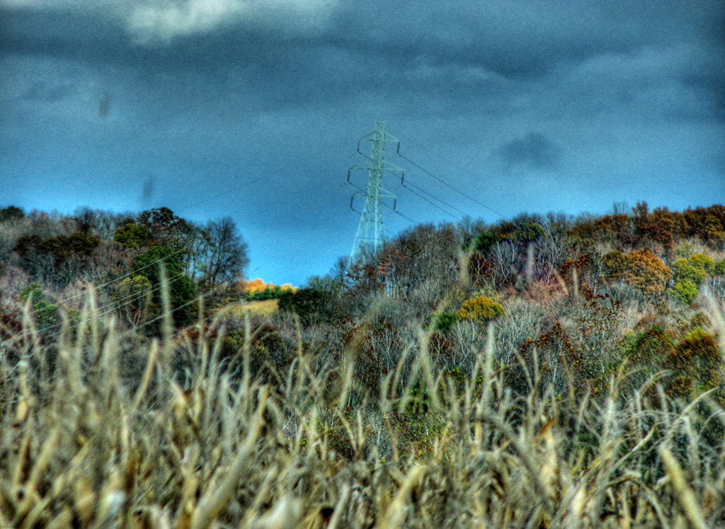
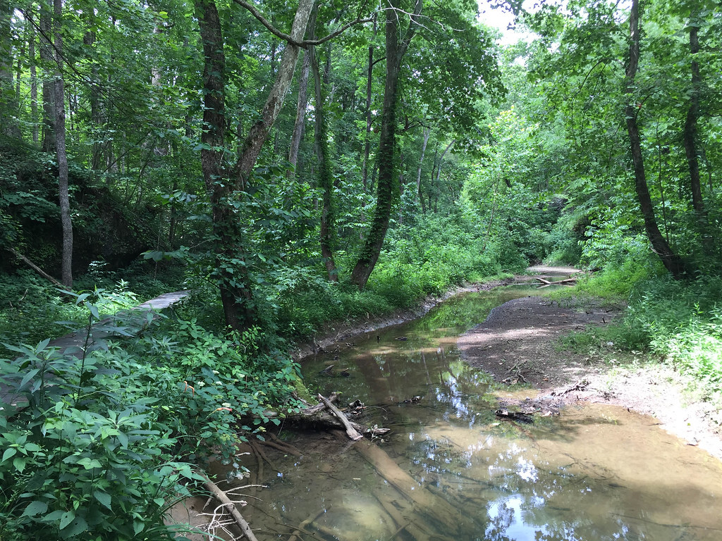
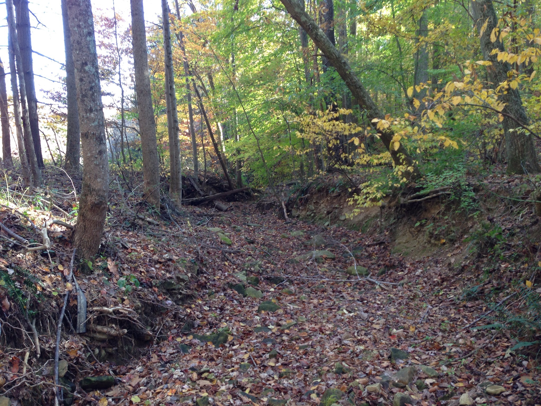
View from Chenoweth Fork Valley
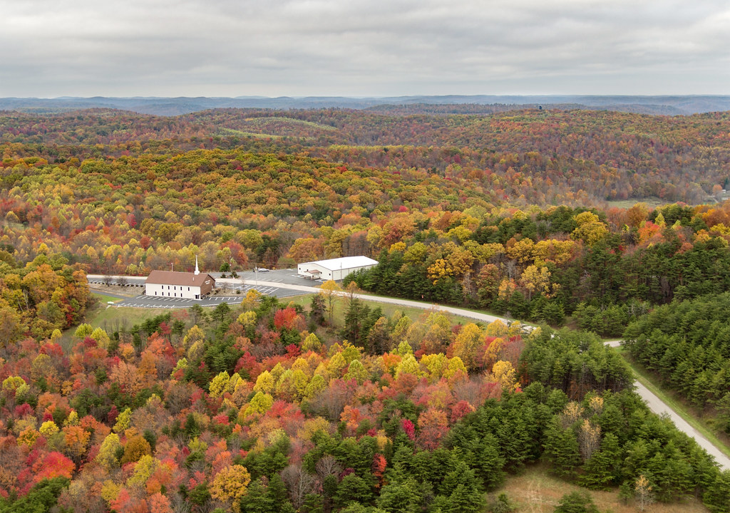
Union Hill Church

Vacant Stone House-2 (Once the Judge Acord House)

Colored Canvas
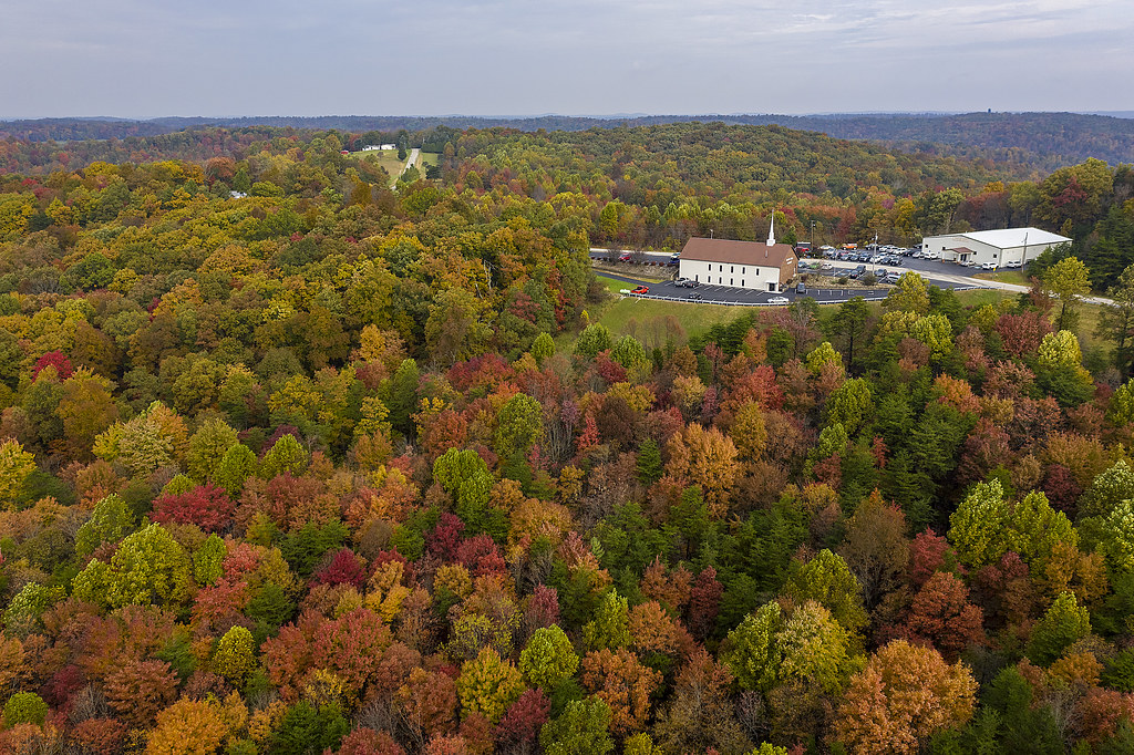
Union Hill Church
Davis State Memorial
My Photo Stream-945
My Photo Stream-980
My Photo Stream-971
My Photo Stream-946
Farm Country
Union Hill Church
My Photo Stream-981
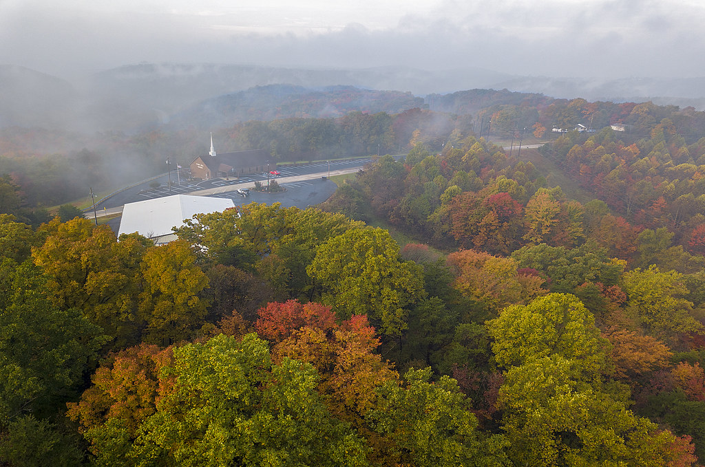
Autumn Fog
Davis State Memorial
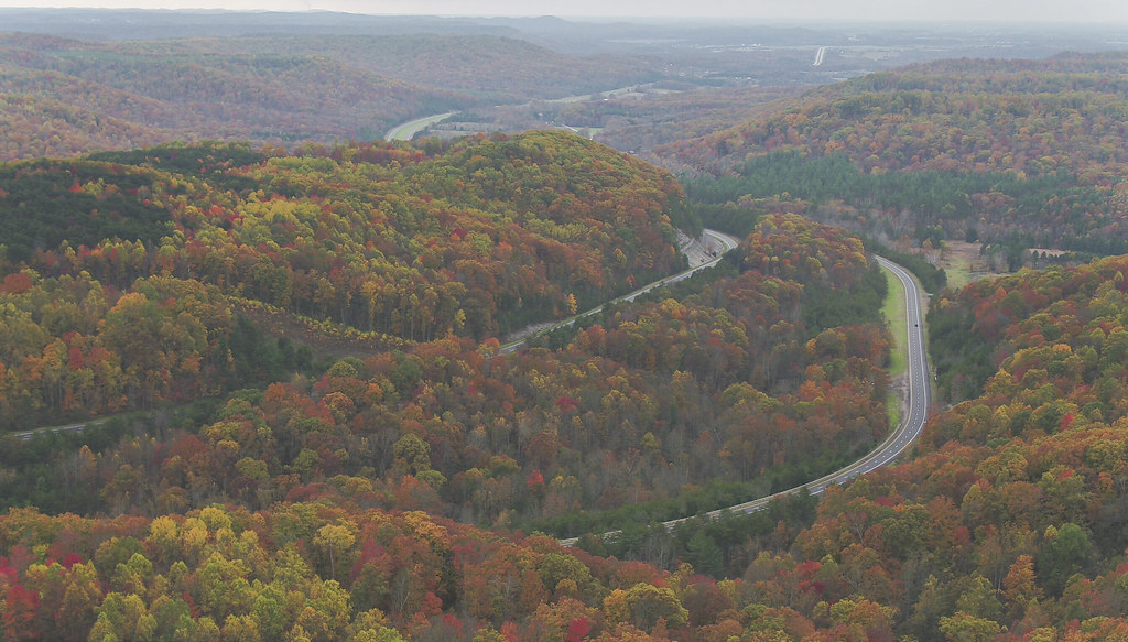
Fall Back
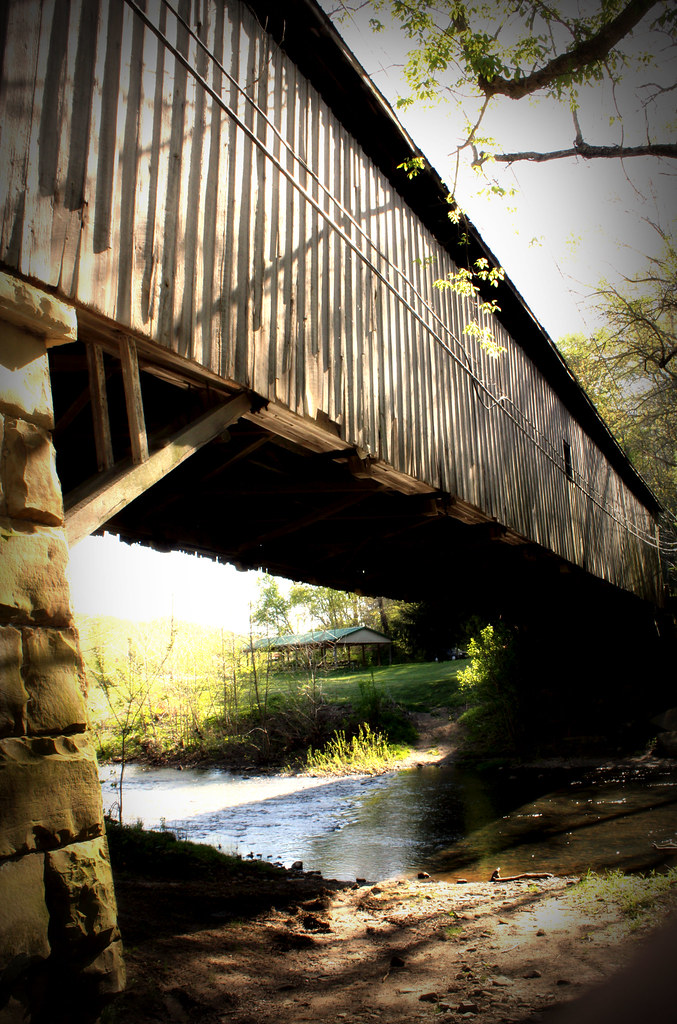
Wooden Covered Bridge; Otway, Ohio
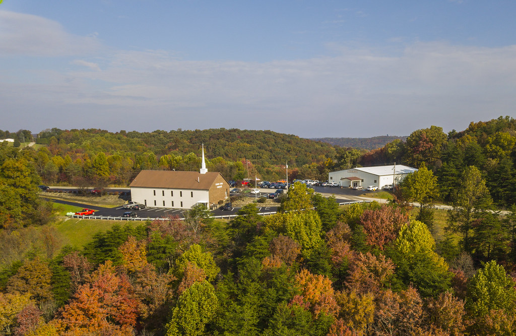
Union Hill 2018
My Photo Stream-962
Topographic Map of Hackworth Hill Rd, Otway, OH, USA
Find elevation by address:

Places near Hackworth Hill Rd, Otway, OH, USA:
Rarden Township
Rarden
3002 Mt Hope Rd
Bear Creek Rarden Rd, Otway, OH, USA
Otway
Walnut St, West Portsmouth, OH, USA
Ohio 348 & Henley-comstock Road
1081 Smith Rd
Brush Creek Township
1010 Salyers Rd
Camp Creek Township
Camp Creek Road
2924 Union Hill Rd
2705 Henley-deemer Rd
Morgan Township
7414 Big Bear Creek Rd
Franklin Township
9105 Oh-781
Bear Creek
9906 Big Bear Creek Rd
Recent Searches:
- Elevation of Elwyn Dr, Roanoke Rapids, NC, USA
- Elevation of Congressional Dr, Stevensville, MD, USA
- Elevation of Bellview Rd, McLean, VA, USA
- Elevation of Stage Island Rd, Chatham, MA, USA
- Elevation of Shibuya Scramble Crossing, 21 Udagawacho, Shibuya City, Tokyo -, Japan
- Elevation of Jadagoniai, Kaunas District Municipality, Lithuania
- Elevation of Pagonija rock, Kranto 7-oji g. 8"N, Kaunas, Lithuania
- Elevation of Co Rd 87, Jamestown, CO, USA
- Elevation of Tenjo, Cundinamarca, Colombia
- Elevation of Côte-des-Neiges, Montreal, QC H4A 3J6, Canada