Elevation of Hacienda Dr, Julian, CA, USA
Location: United States > California > San Diego County > Julian >
Longitude: -116.57575
Latitude: 33.0672289
Elevation: 1376m / 4514feet
Barometric Pressure: 86KPa
Elevation Map:
Satellite Map:
Related Photos:
Space Dock
View from Volcan
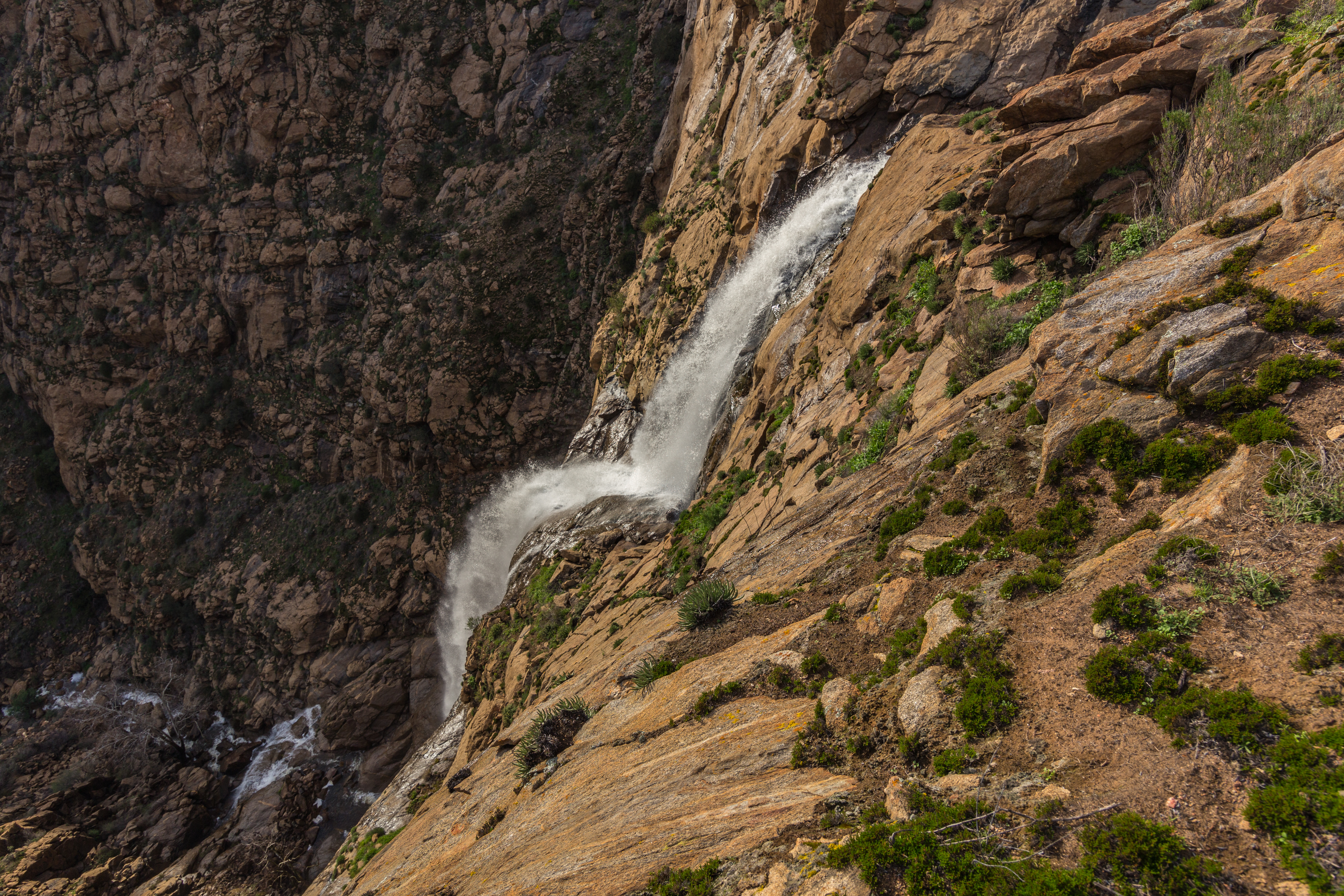
View from the top of Mildred Falls.

20170504_113046.jpg
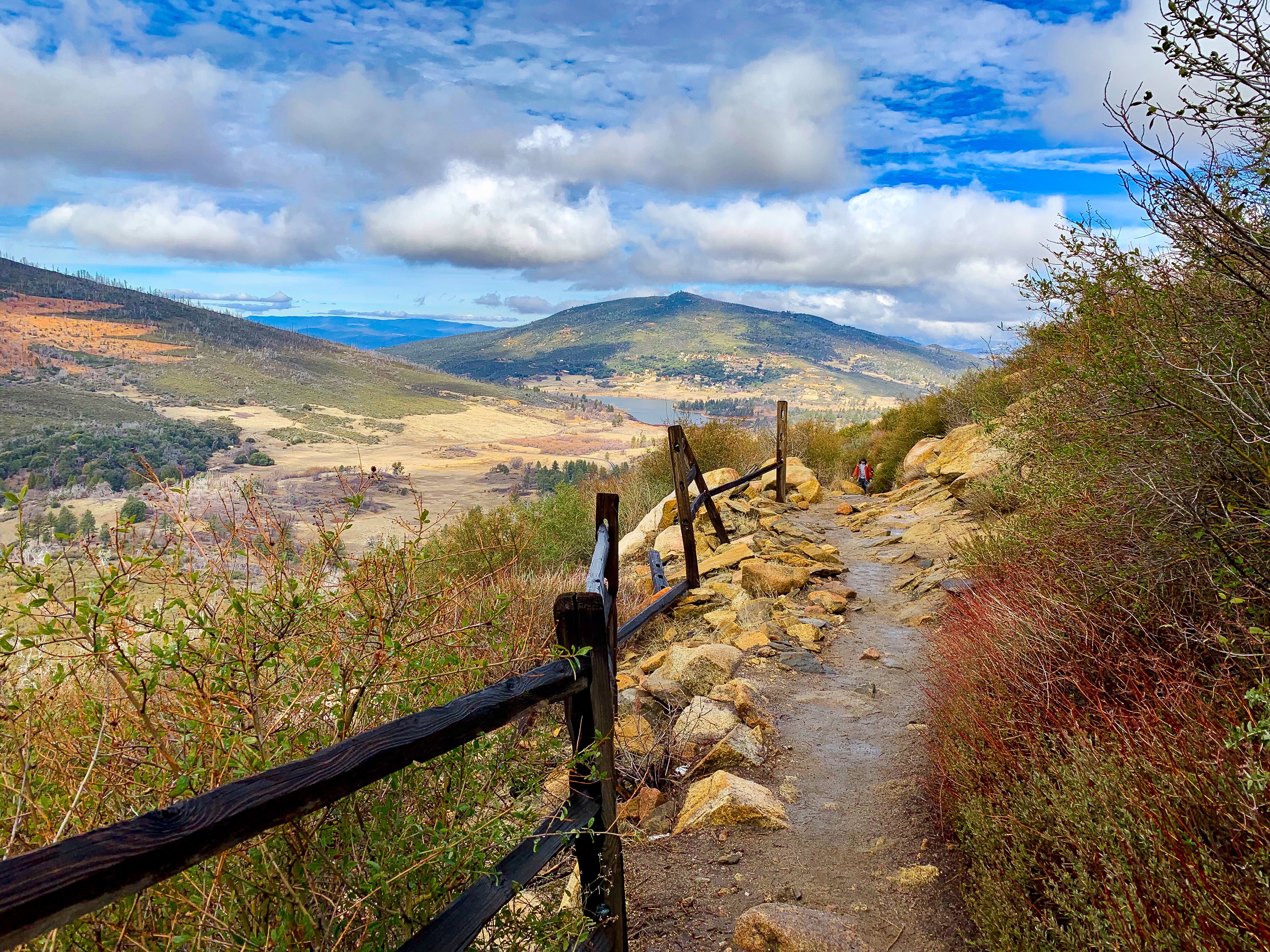
Stonewall Peak Trail in Cuyamaca Rancho State Park, California
20170504_131647.jpg
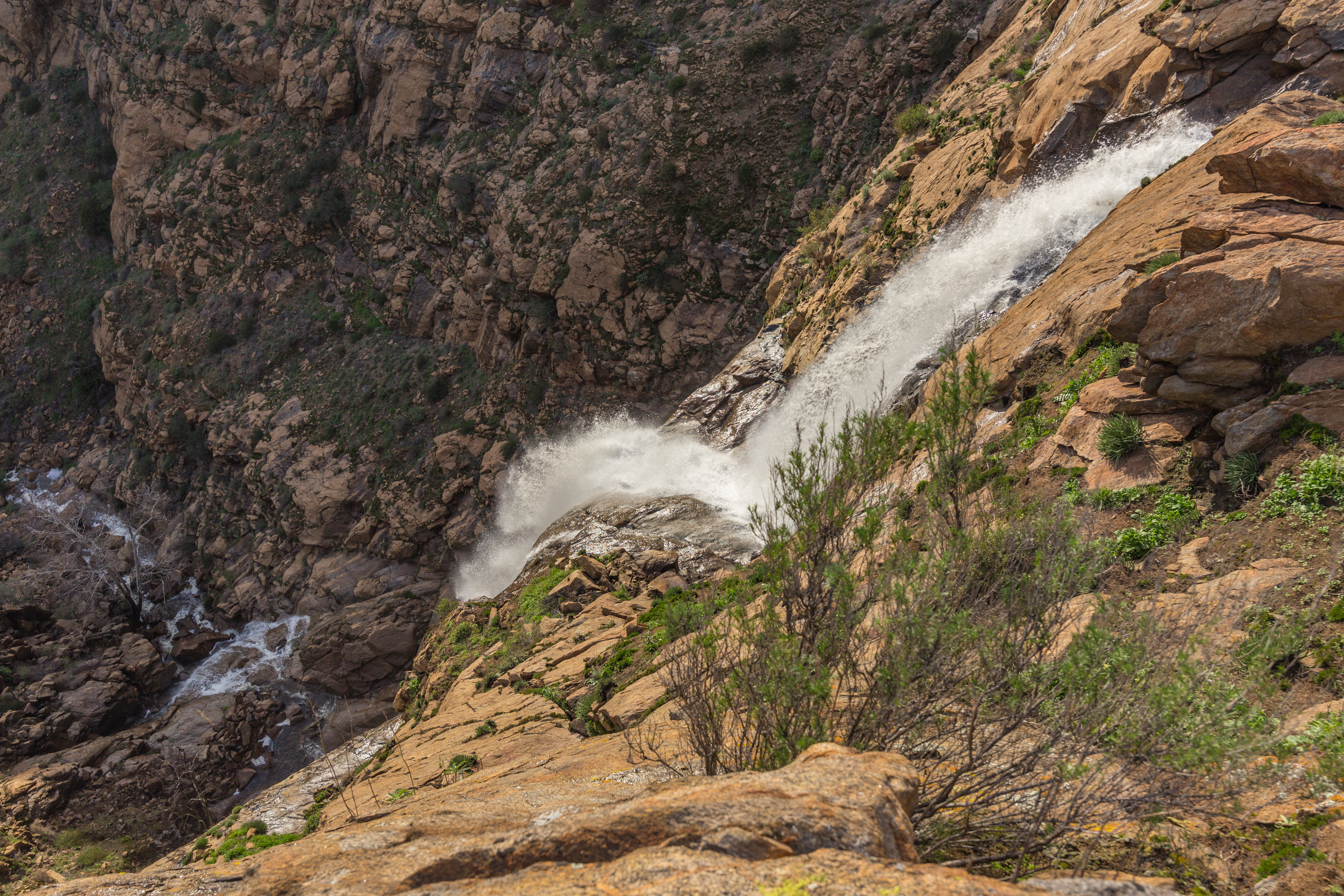
View from the top of Mildred Falls.
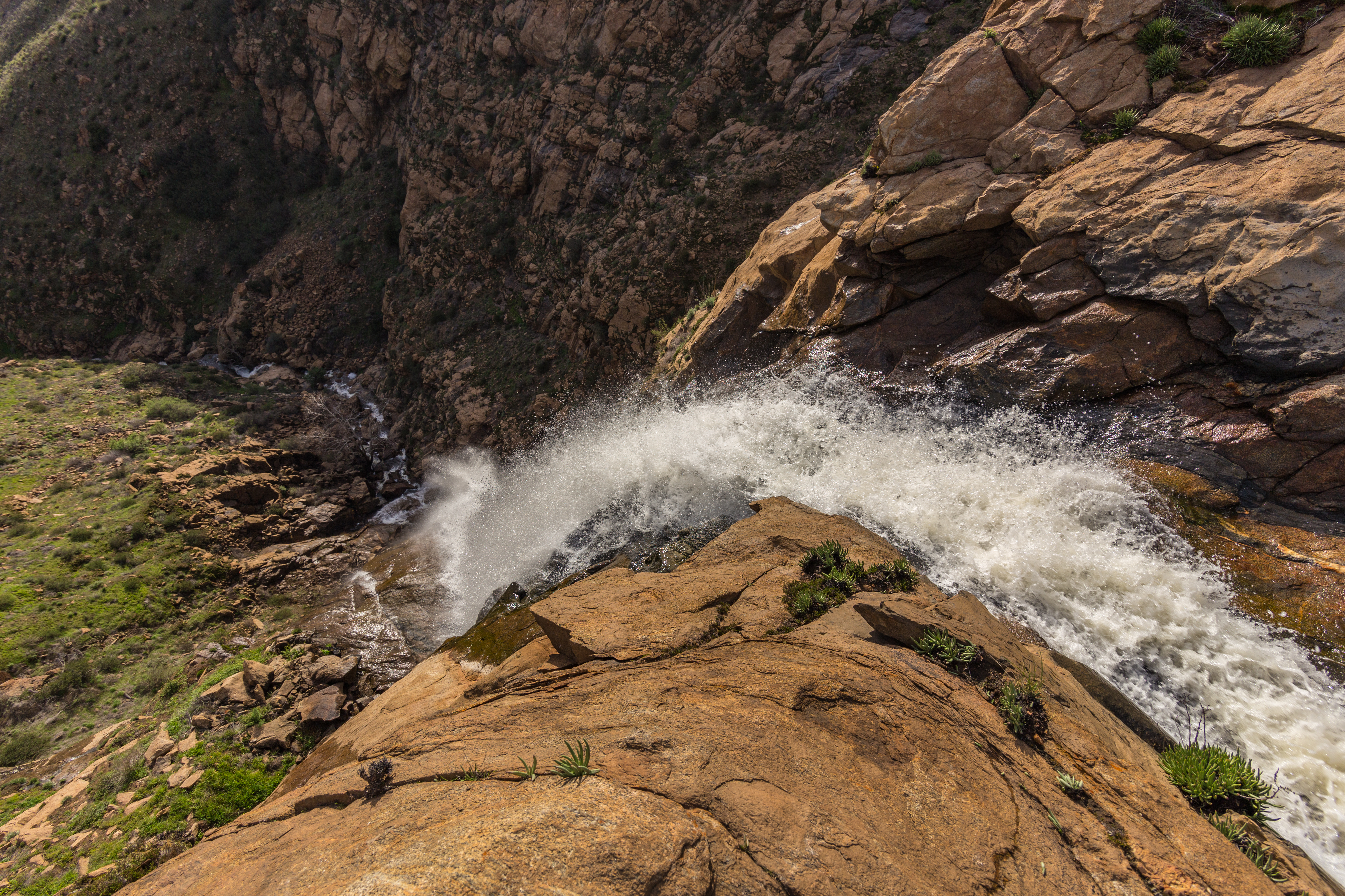
View from the top of Mildred Falls.
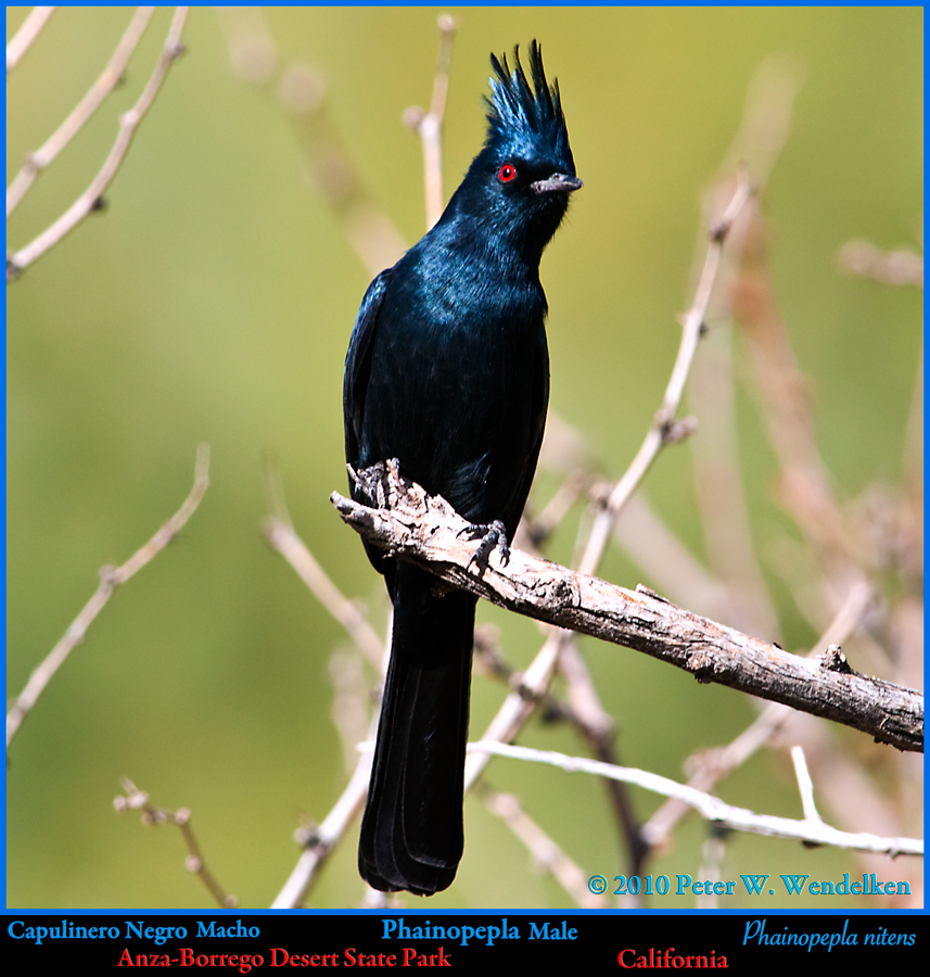
PHAINOPEPLA Male Phainopepla nitens Striking a Pose in Anza-Borrego Desert State Park, California. Photo by Peter Wendelken
Lake Cuyamaca and Julian, CA
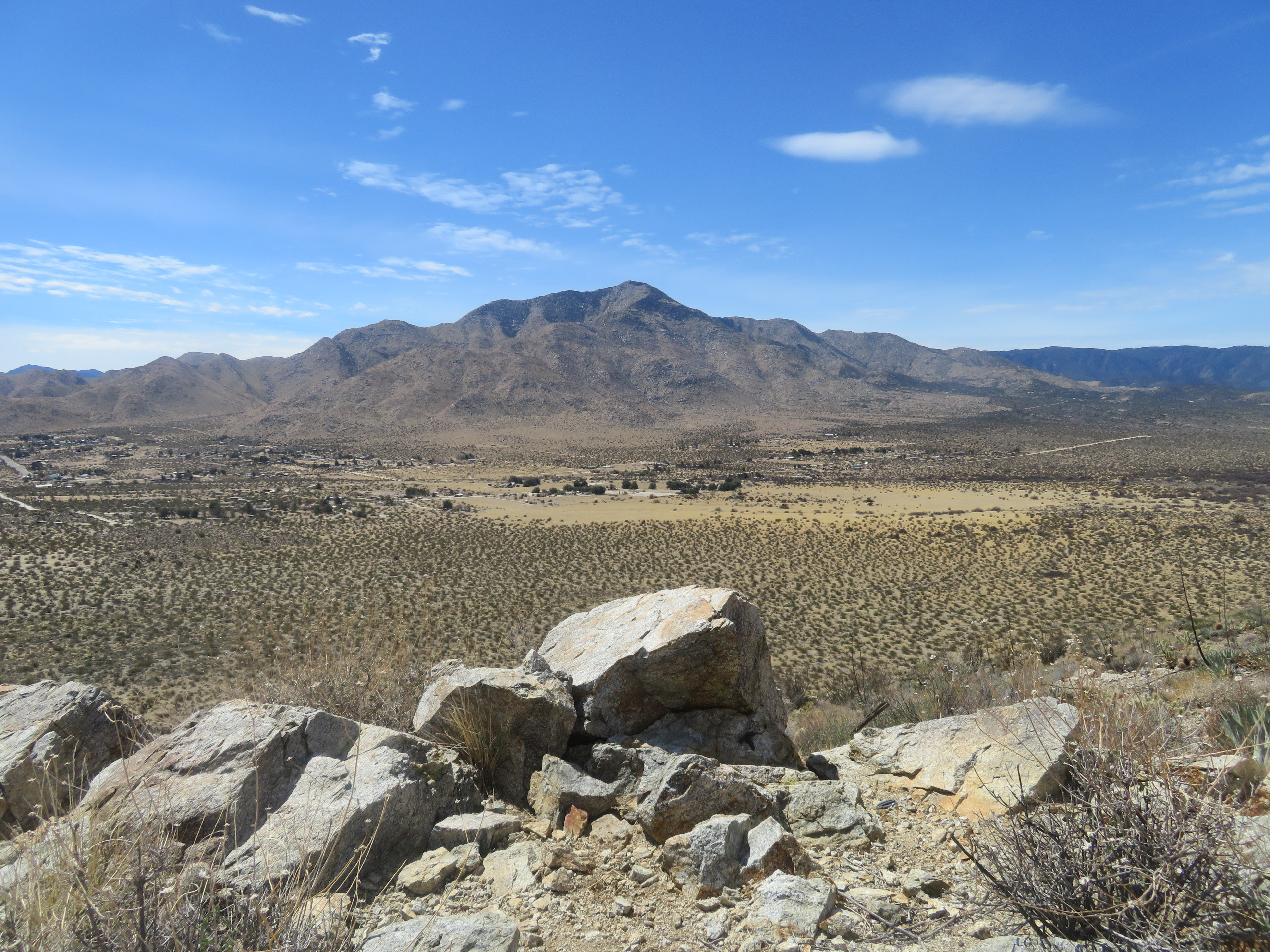
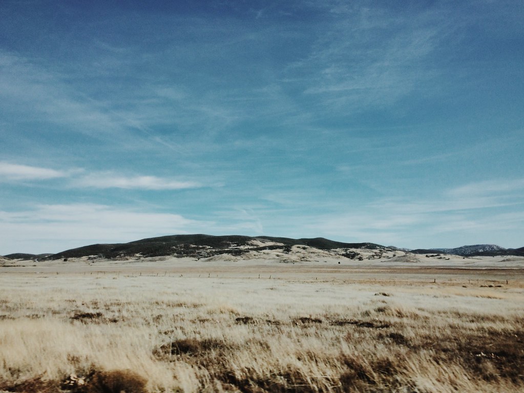
Shelter Valley and Granite Mountain.
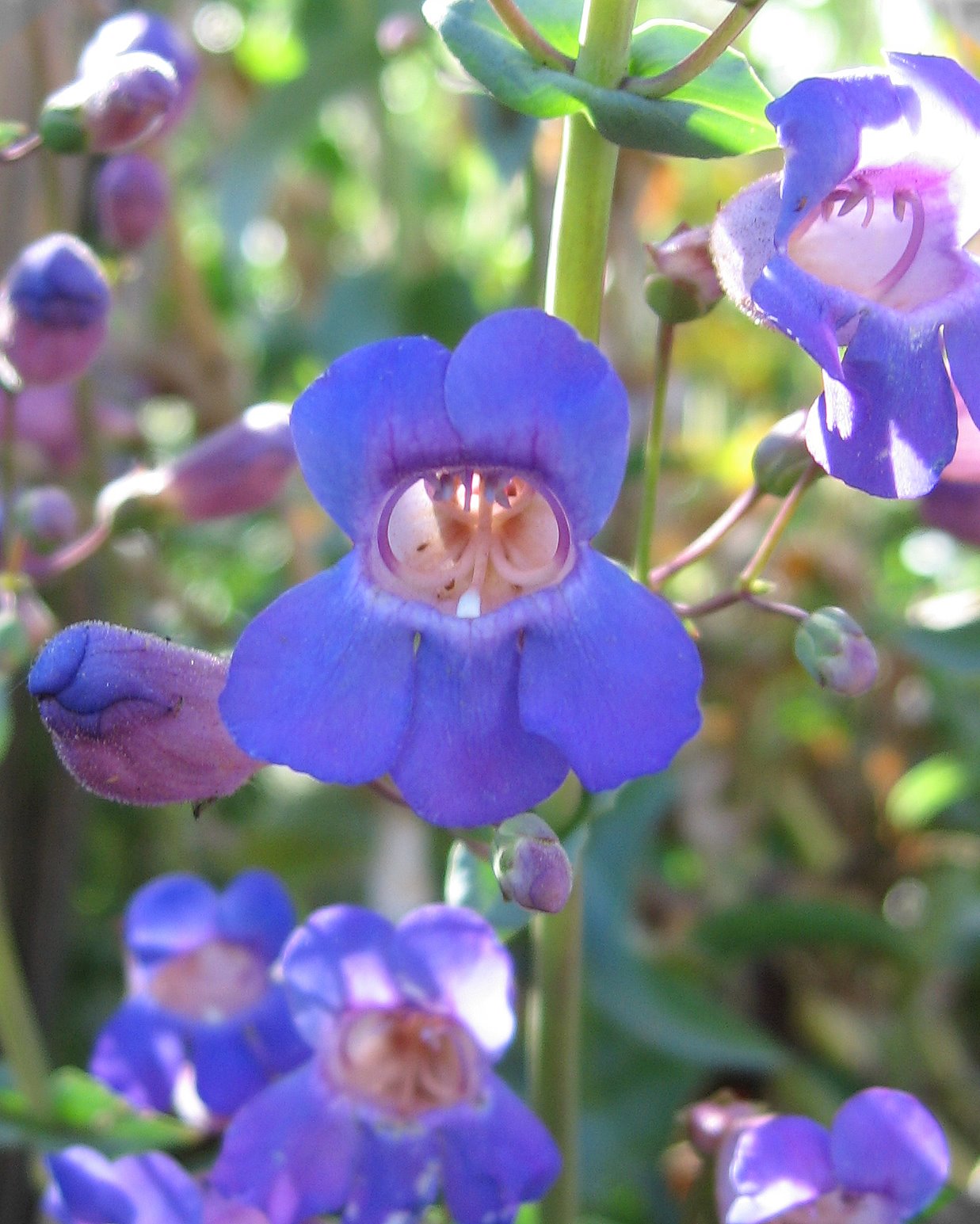
Flower macro
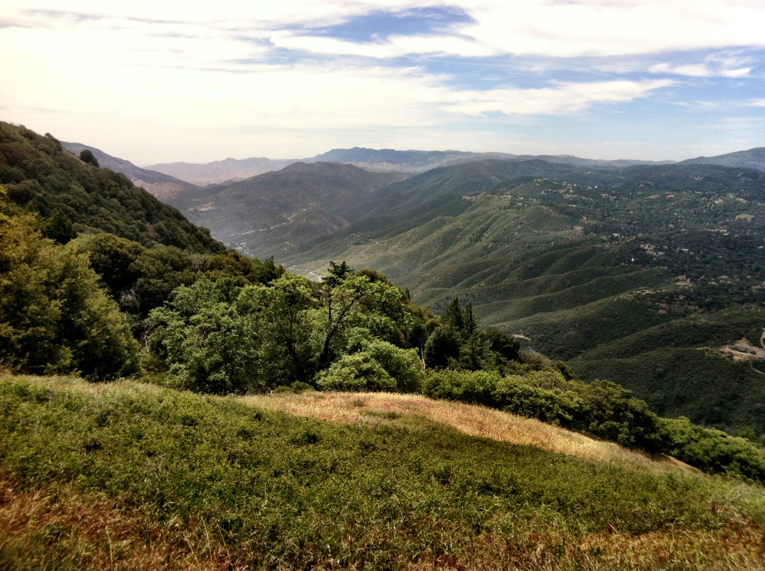
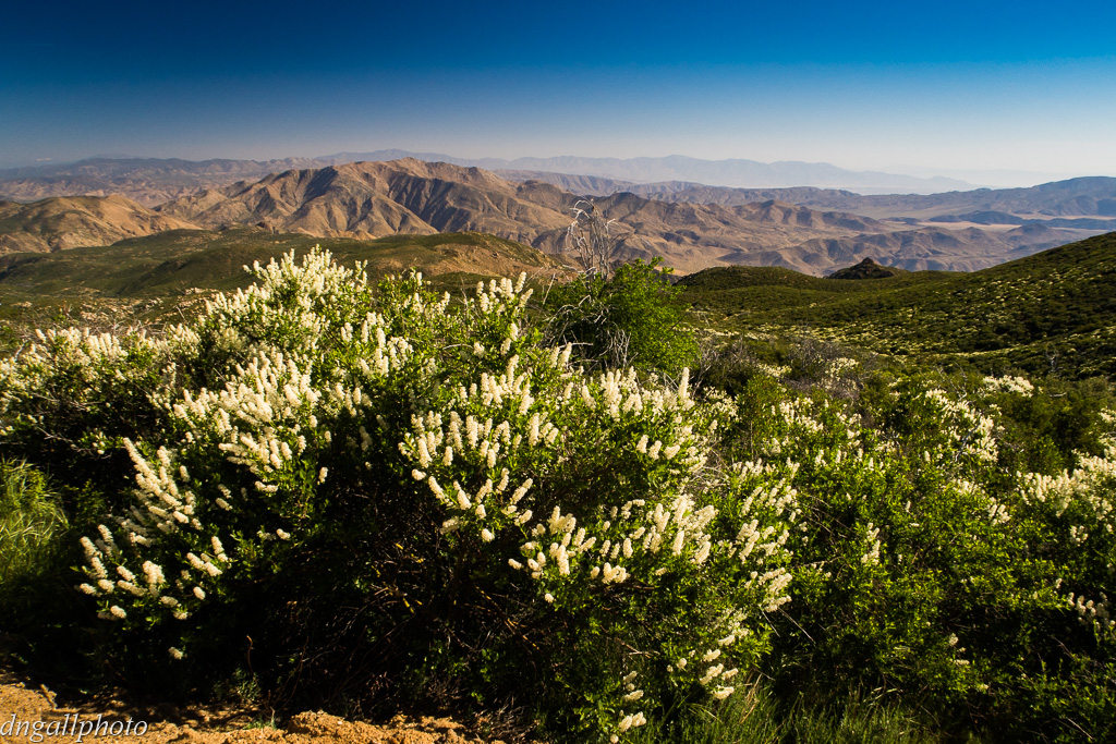
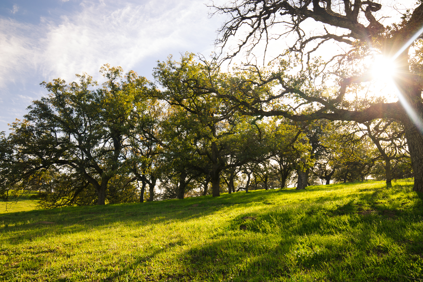
View, near Julian, Ca.
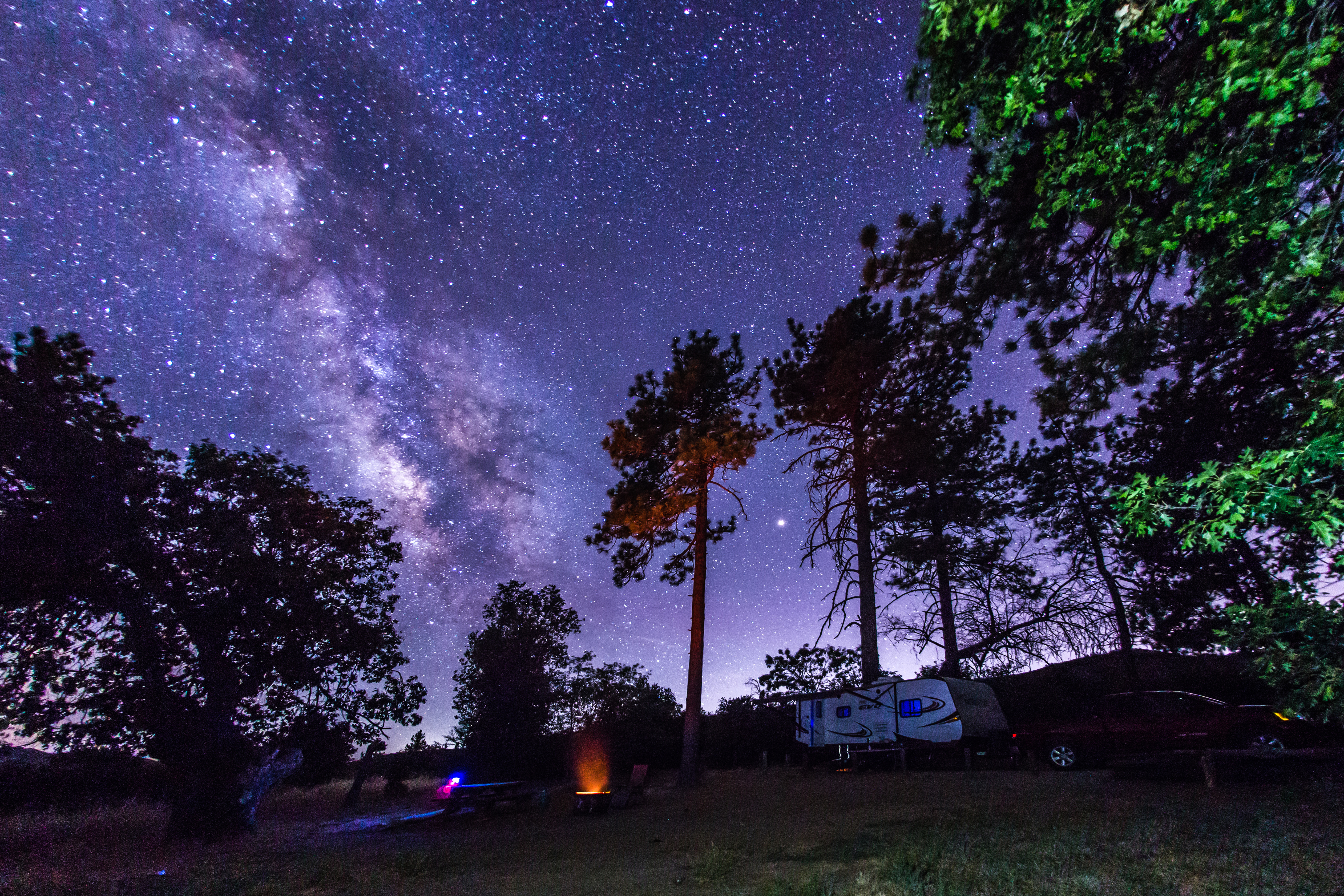
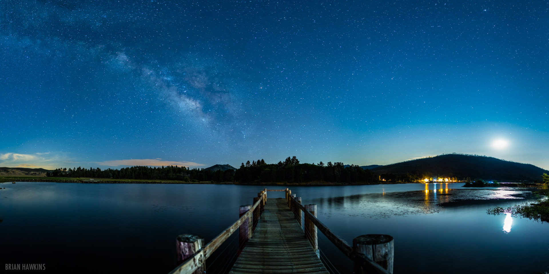
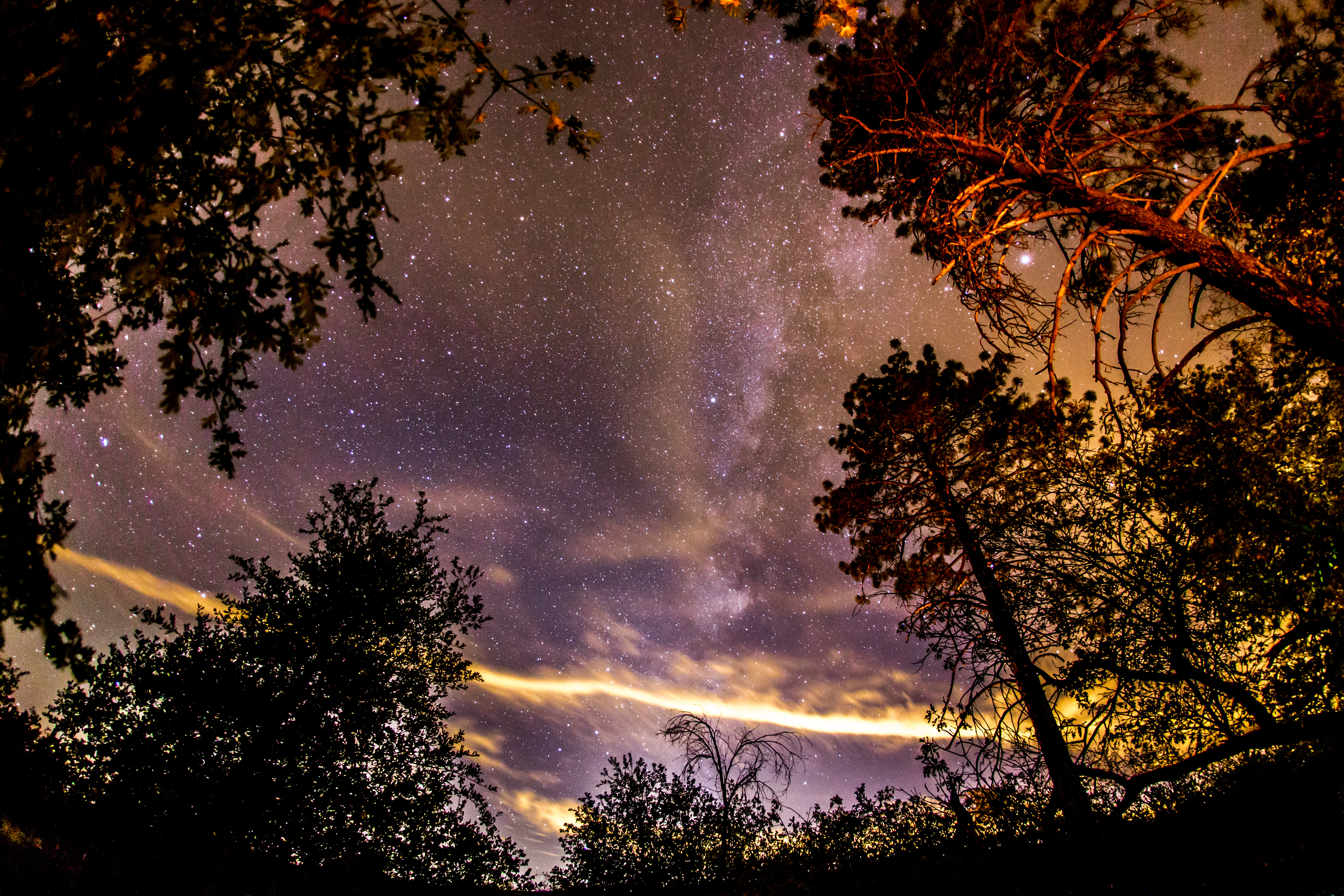
Camping under the Milky Way in Cuyamaca Rancho State Park
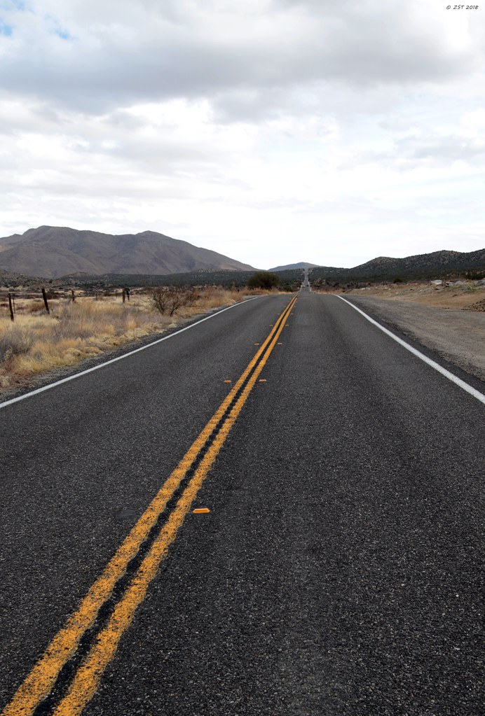
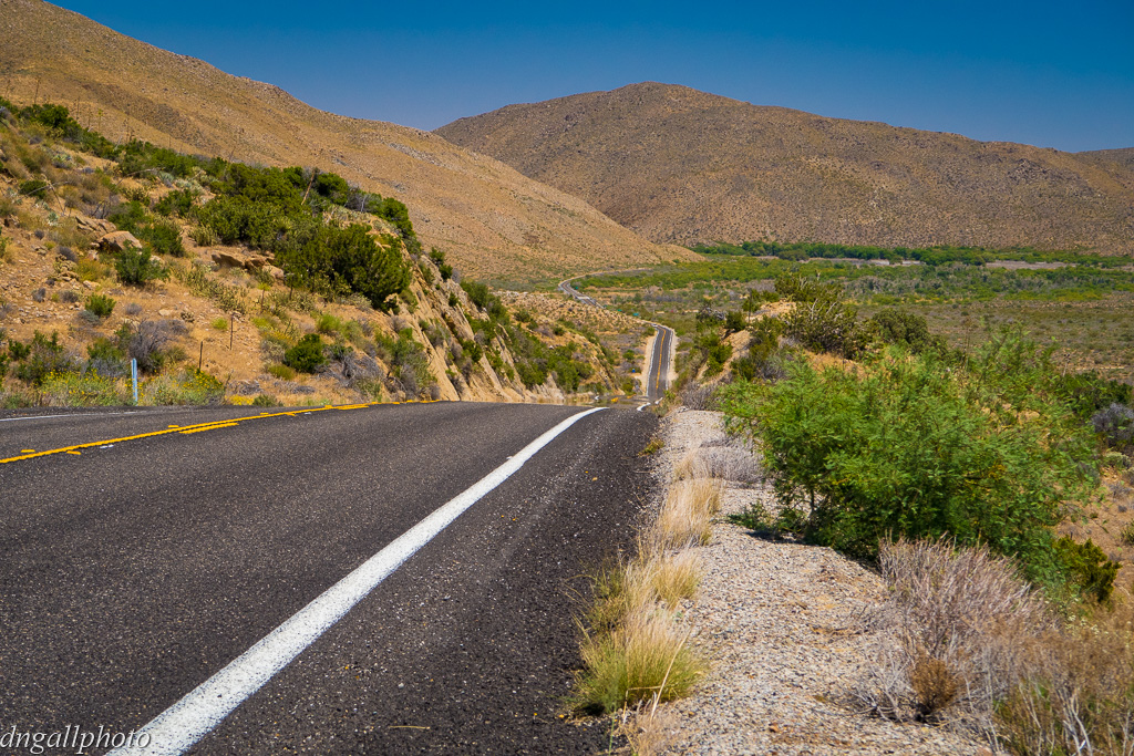
The Straight Pavement
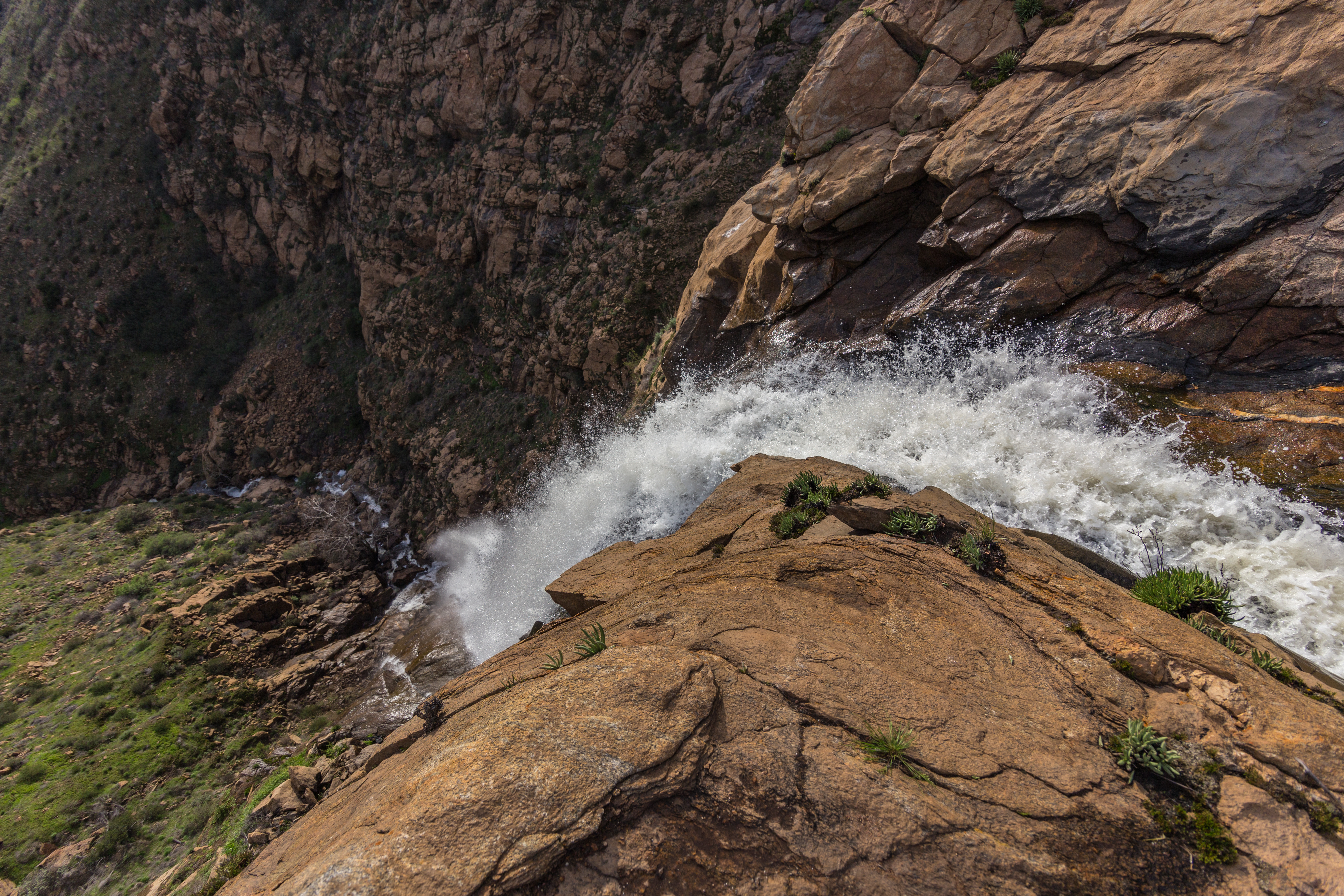
View from the top of Mildred Falls.
20170504_084347.jpg
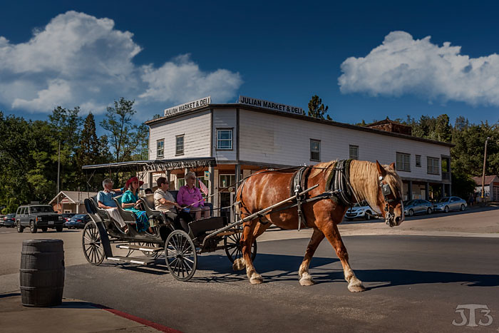
Horse & Carriage Ride
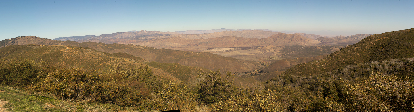
View point on CA highway 79, between Santa Ysabel and Julian

150 Zoomed-in view of Granite Mountain from the summit of Volcan Mountain
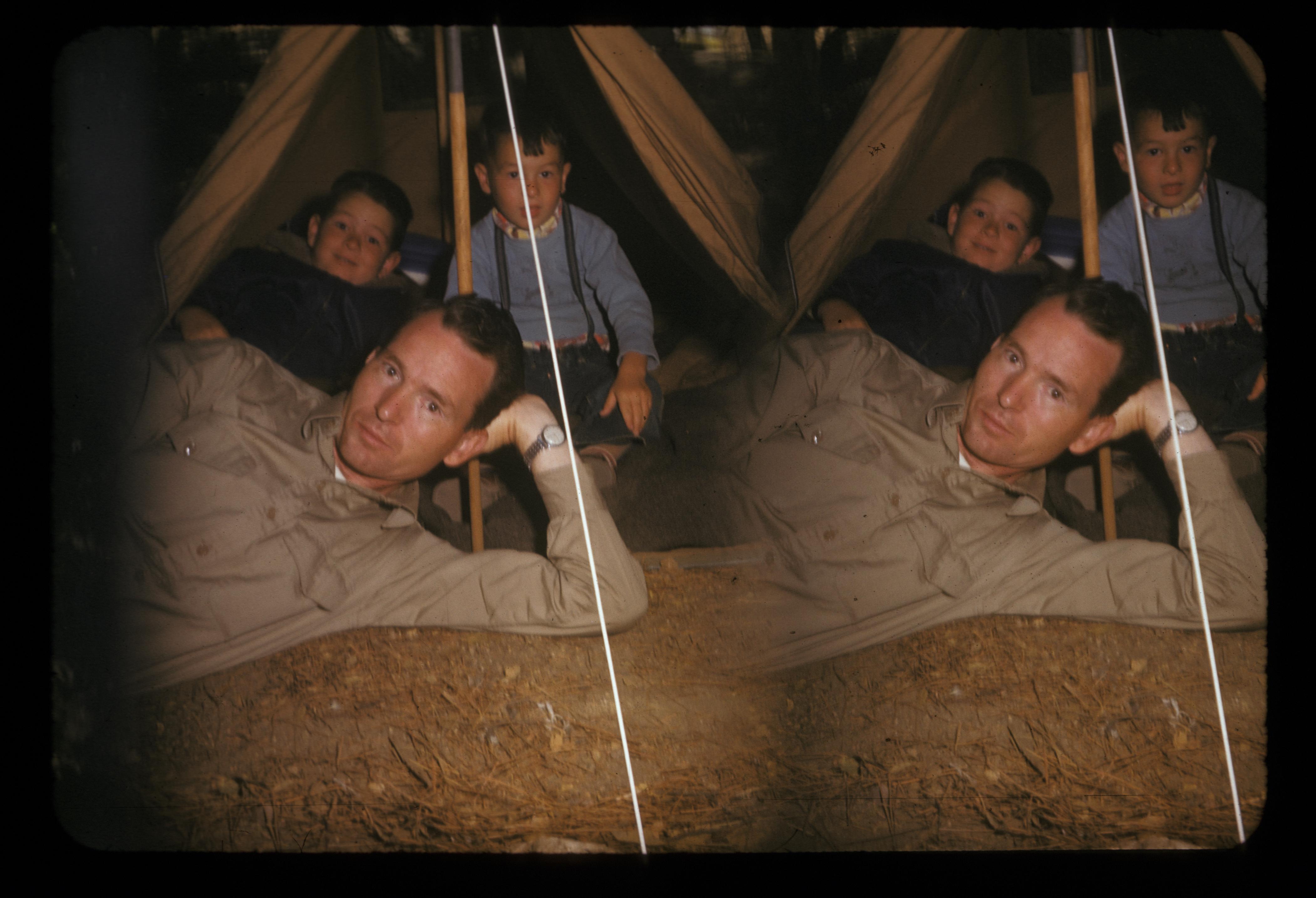
Stereotach camping in Green Valley Falls, near San Diego, 1955 or so
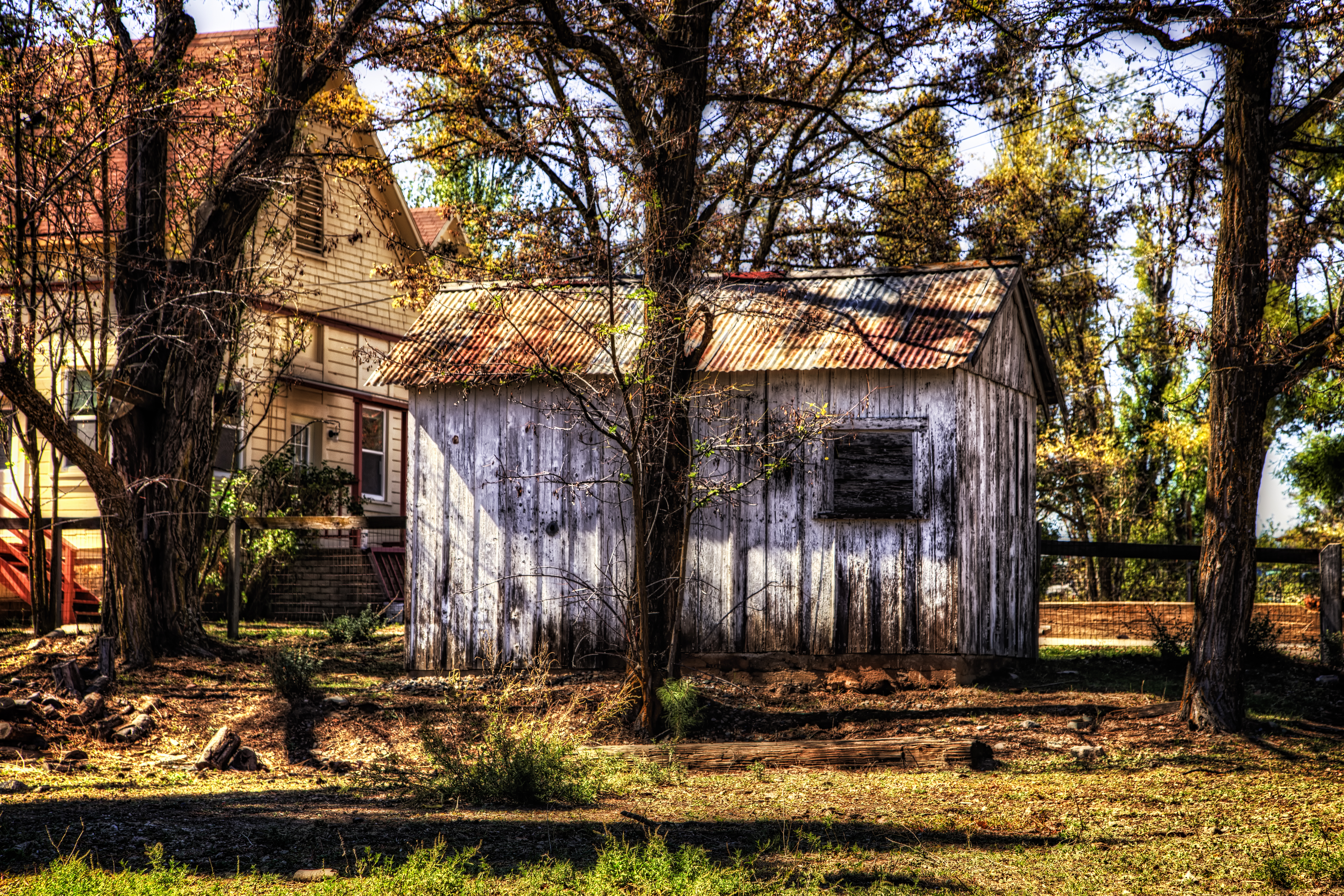
The Old Shack Behind the Trees
Milky Way Arch Over Stonewall Peak

Hubbell House Master Bedroom Building Exterior
Volcan Mountain 5,340'

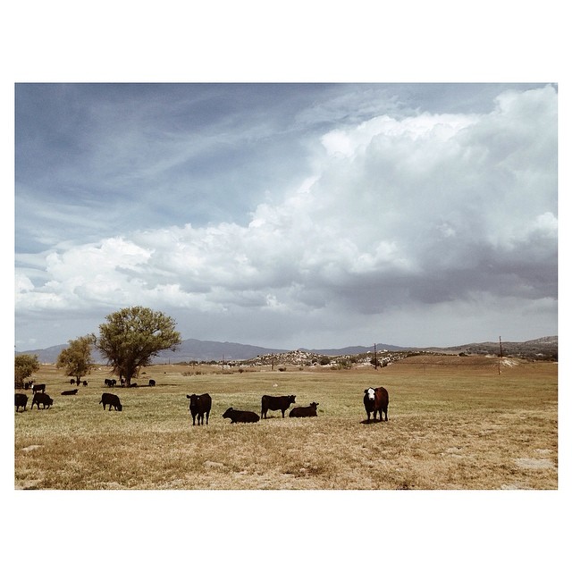
Cows in the pasture
The Milky Way at Cuyamaca Rancho State Park
2017-04-11_03-16-41
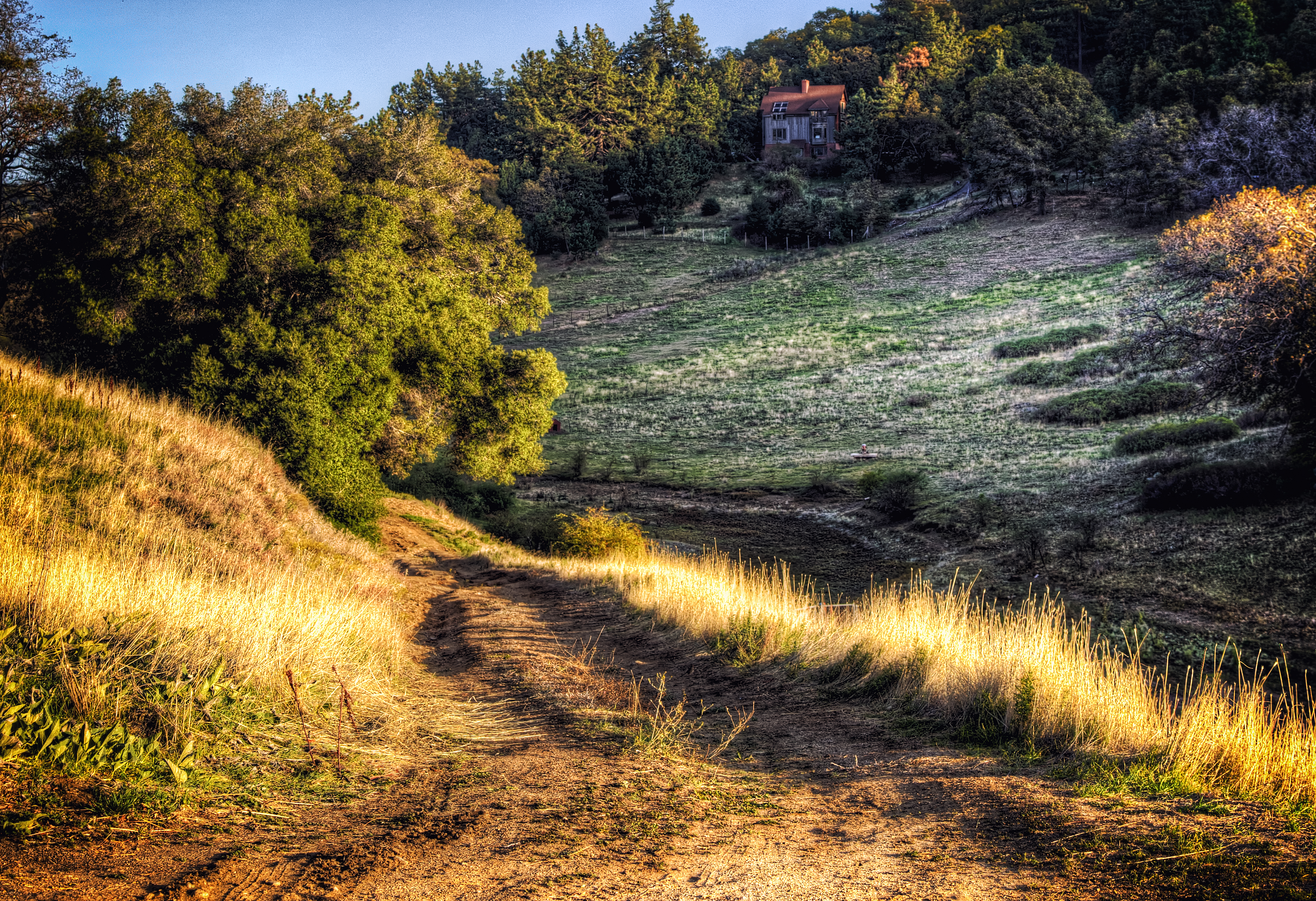
Home on the Mountain
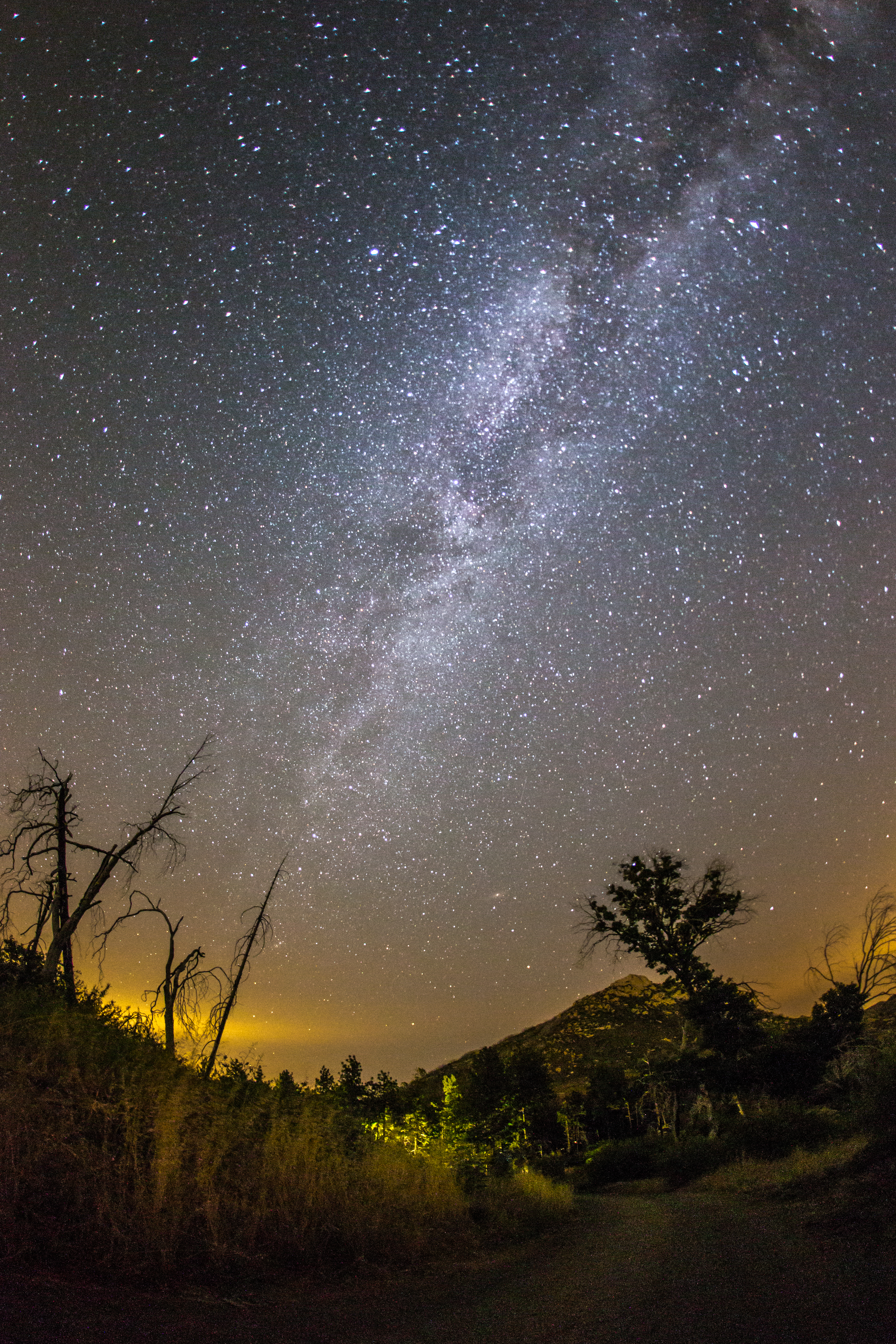
Milky Way and Stonewall Peak
#RoadTripUSA #discoveramerica #California
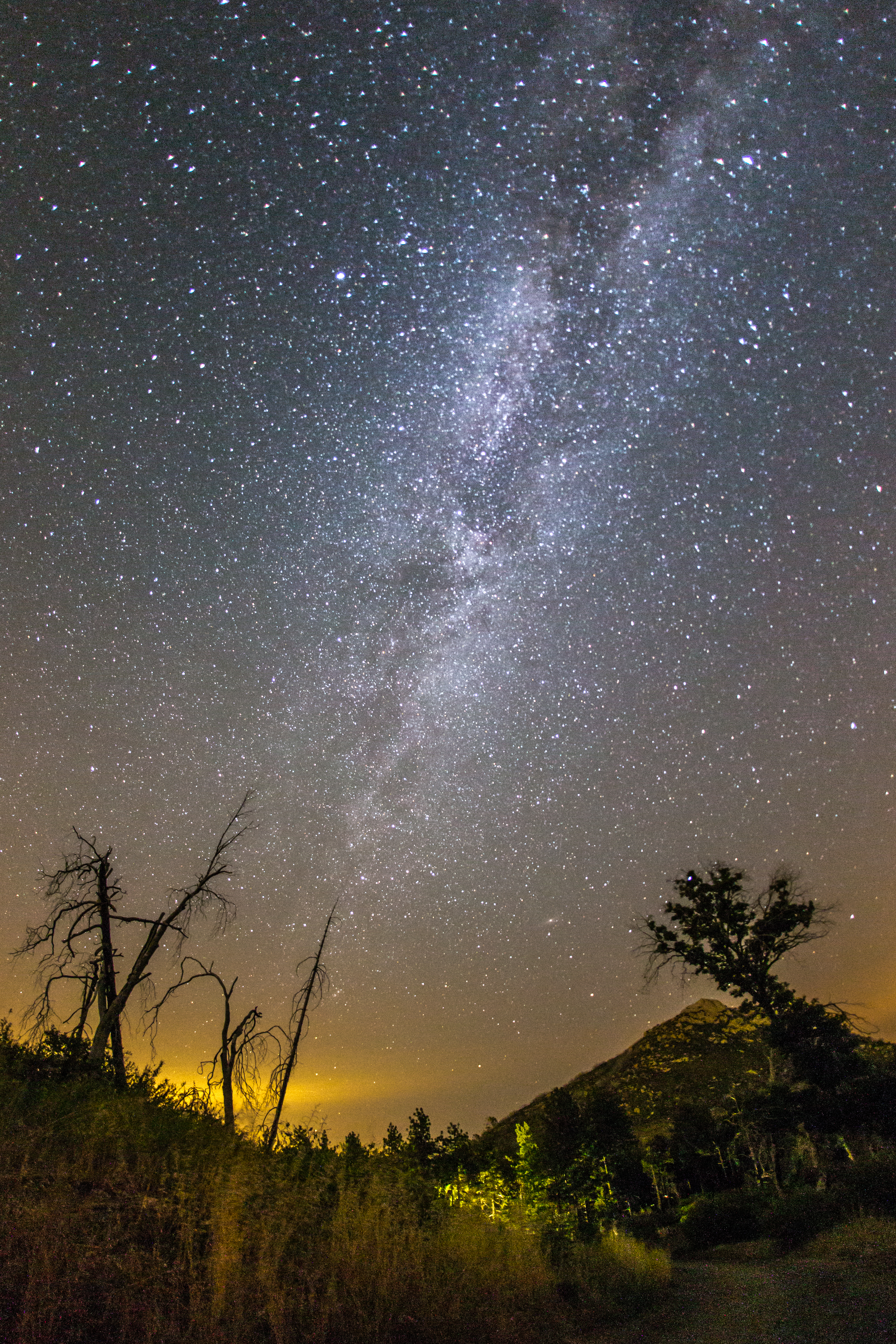
Milky Way and Stonewall Peak
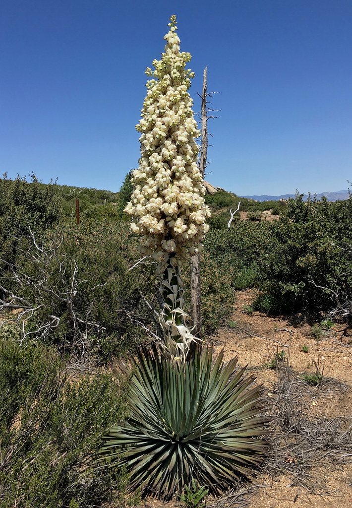
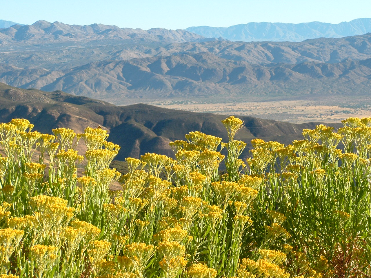
Yucca in Bloom
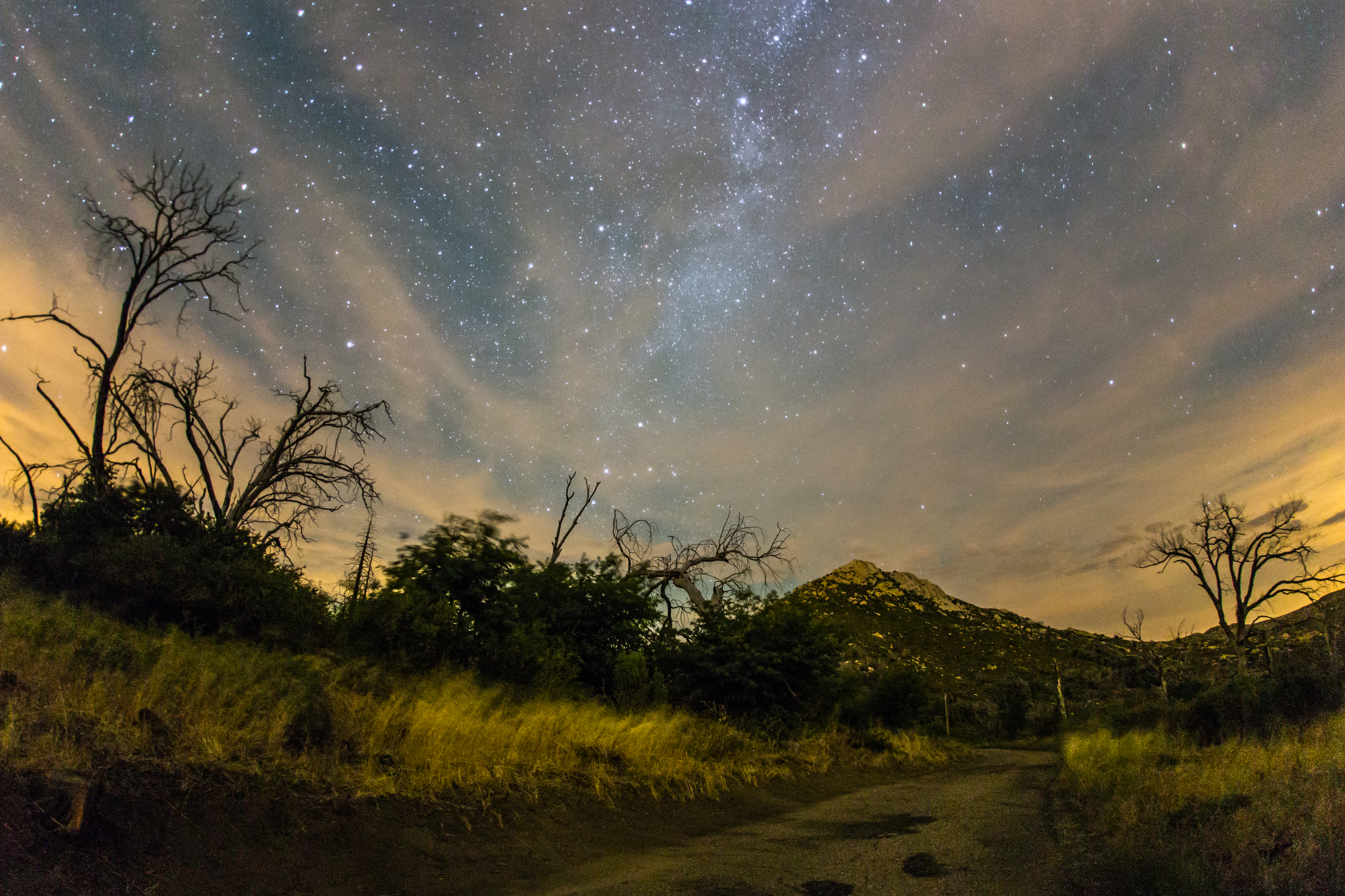
The night sky at Cuyamaca Rancho State Park
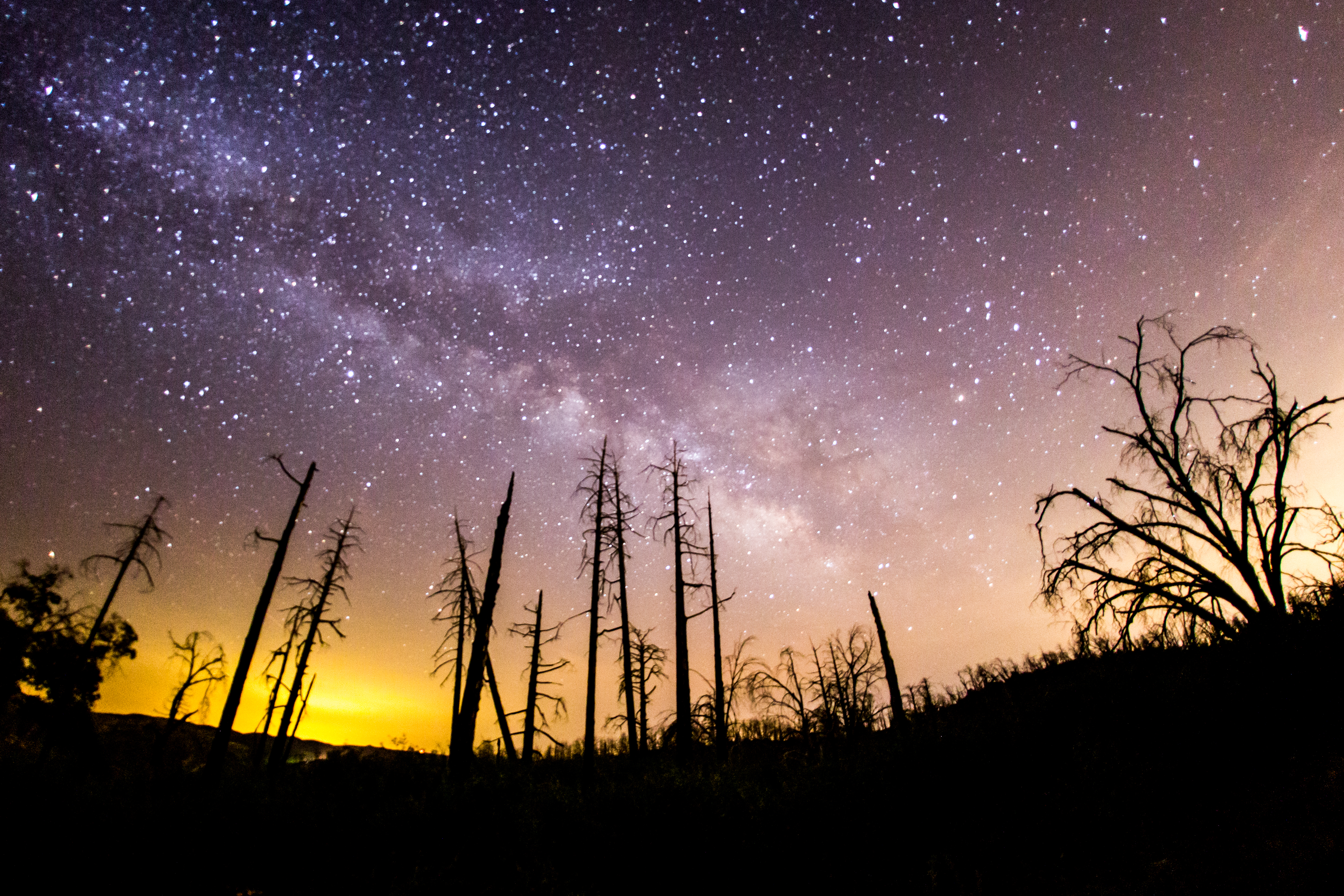
The Milky Way and silhouette of burnt trees

The Milky Way and silhouette of burnt tree
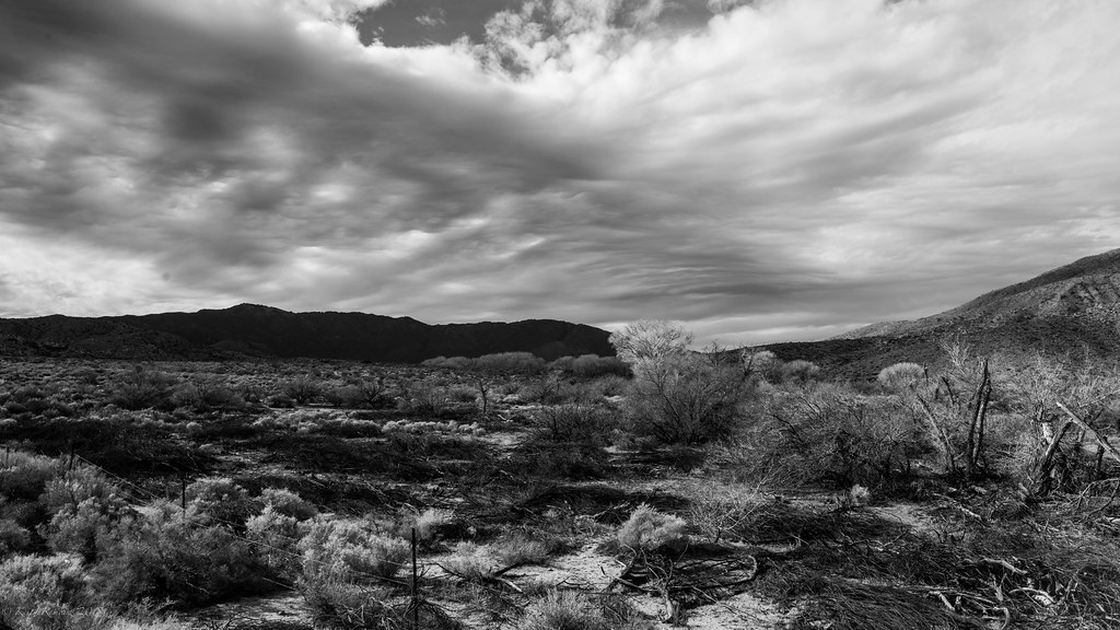
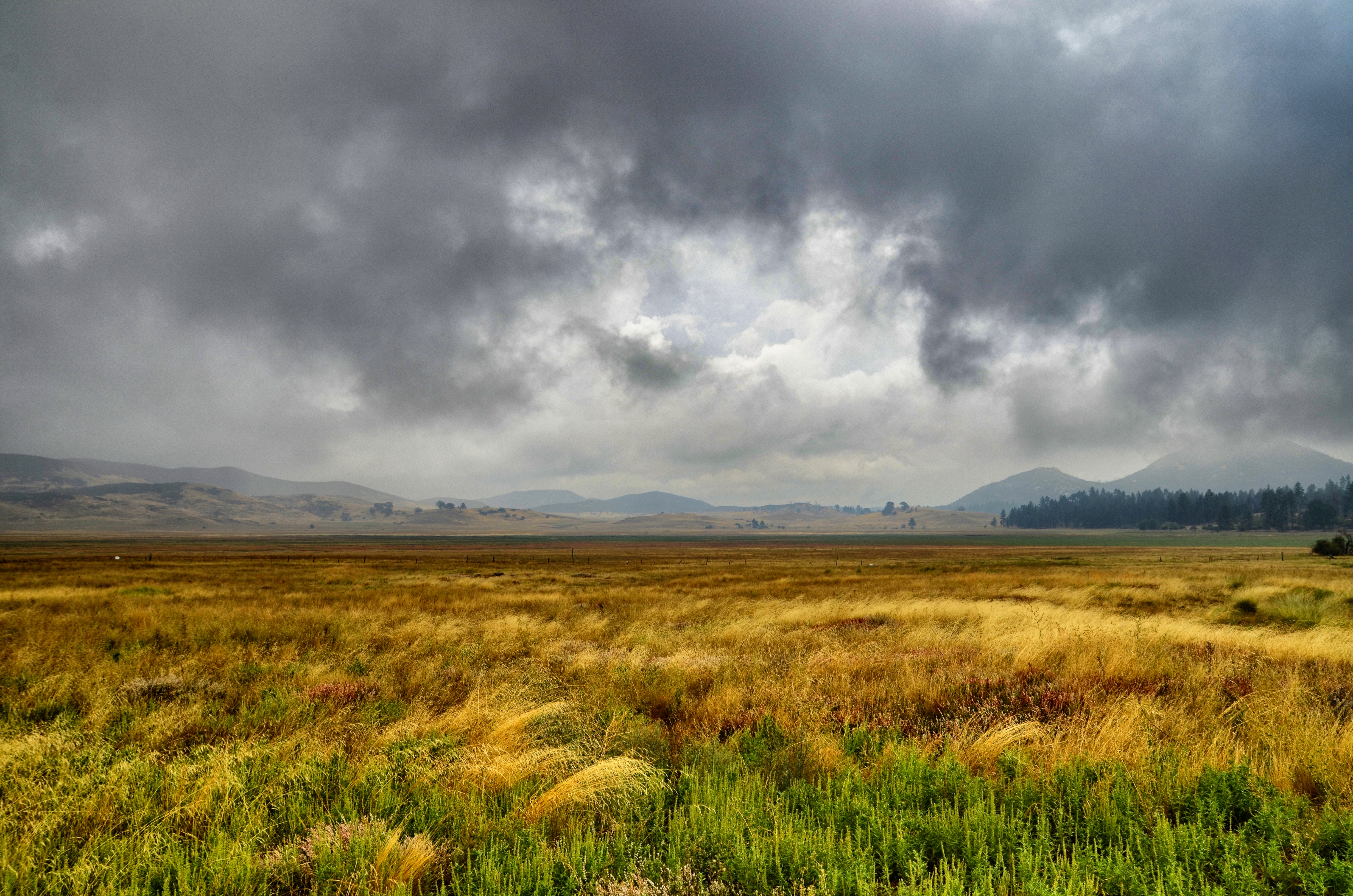
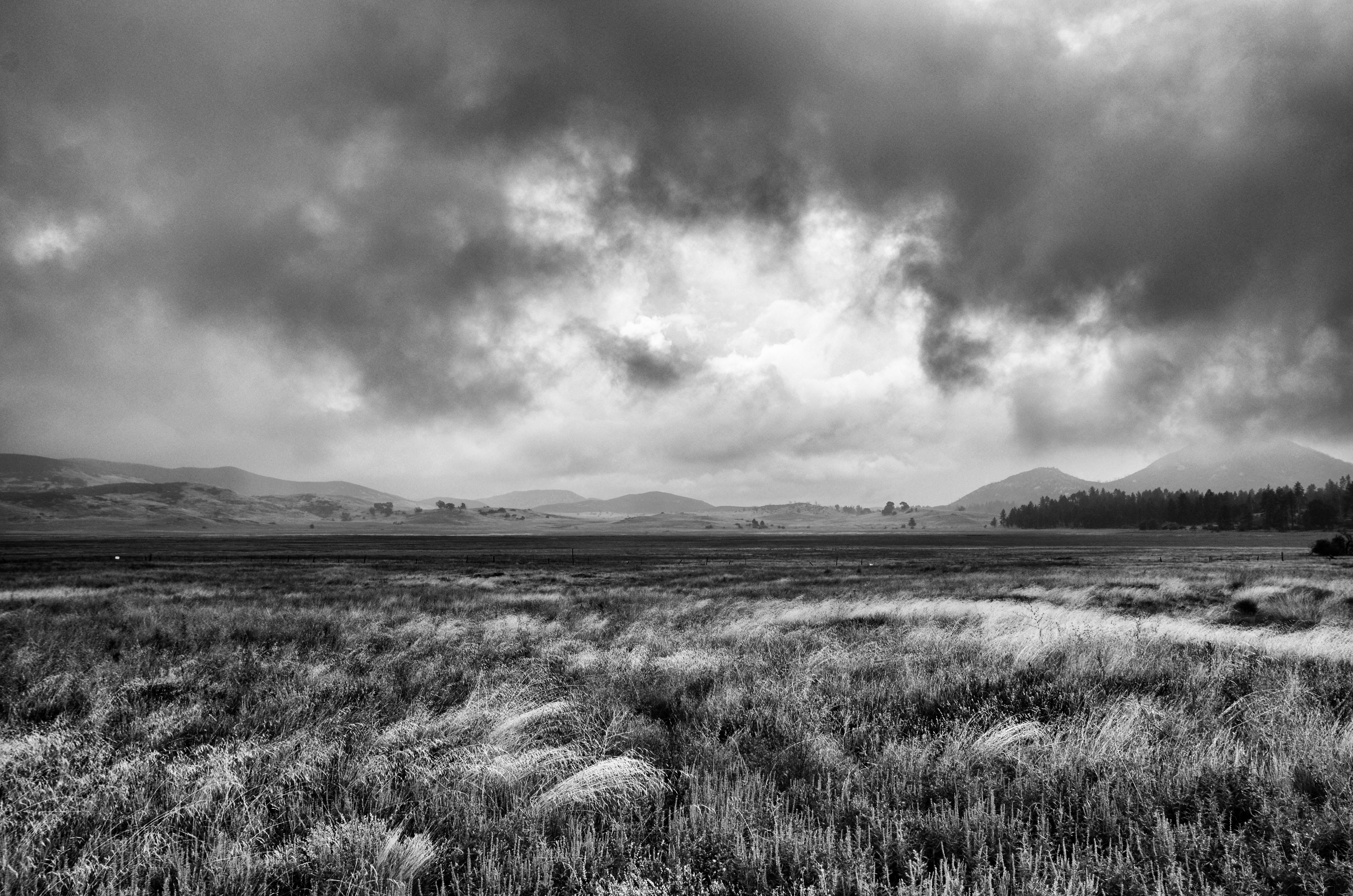
Anza Borrego Praire
IMG_6585.jpg
Stonewall Peak, Milky Way, and burnt trees on a cloudy night
Lake Cuyamaca
Linear pulling
Topographic Map of Hacienda Dr, Julian, CA, USA
Find elevation by address:

Places near Hacienda Dr, Julian, CA, USA:
Salton Vista Dr, Julian, CA, USA
3859 Crescent Dr
2596 Woodland Rd
Slumbering Oaks Trail
2140 Salton View Dr
Inspiration Point Road
Villa De Valor Hildreth House
2032 Main St
2113 3rd St
CA-78, Julian, CA, USA
Julian
Banner
Banner
3988 Deer Lake Park Rd
2152 Ticanu Dr
2862 Orinoco Dr
CA-78, Santa Ysabel, CA, USA
5065 Mountainbrook Rd
Scissors Crossing
Santa Ysabel
Recent Searches:
- Elevation of W Granada St, Tampa, FL, USA
- Elevation of Pykes Down, Ivybridge PL21 0BY, UK
- Elevation of Jalan Senandin, Lutong, Miri, Sarawak, Malaysia
- Elevation of Bilohirs'k
- Elevation of 30 Oak Lawn Dr, Barkhamsted, CT, USA
- Elevation of Luther Road, Luther Rd, Auburn, CA, USA
- Elevation of Unnamed Road, Respublika Severnaya Osetiya — Alaniya, Russia
- Elevation of Verkhny Fiagdon, North Ossetia–Alania Republic, Russia
- Elevation of F. Viola Hiway, San Rafael, Bulacan, Philippines
- Elevation of Herbage Dr, Gulfport, MS, USA