Elevation of Hacienda Dr, El Cajon, CA, USA
Location: United States > California > San Diego County > El Cajon >
Longitude: -116.99365
Latitude: 32.8218387
Elevation: 210m / 689feet
Barometric Pressure: 99KPa
Elevation Map:
Satellite Map:
Related Photos:

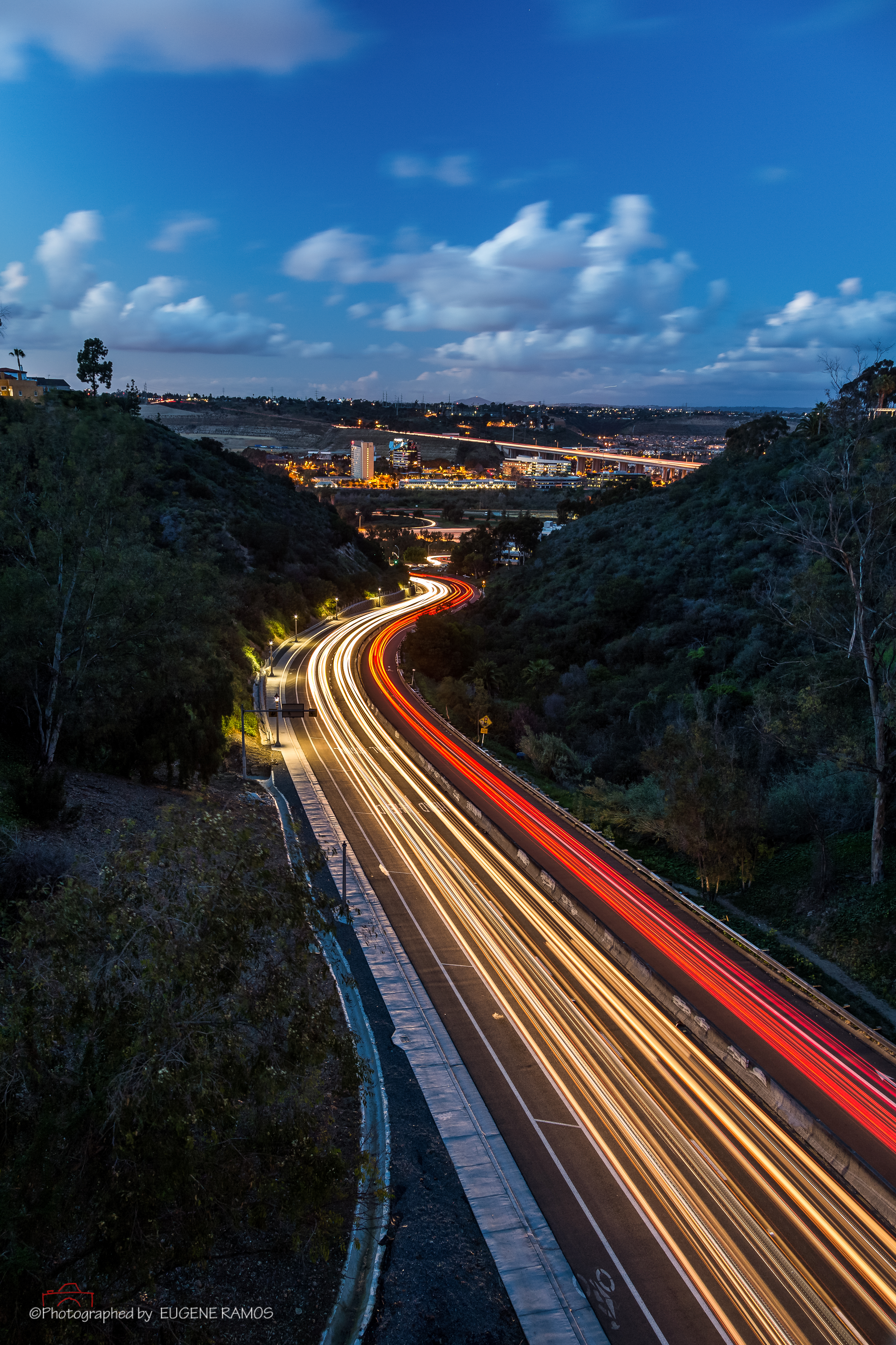
Trail or Traffic

Boulevard of Dreams (warning this photograph maybe hazardous to your health)!
The New Flickr Format Sucks! Is this a Sign of Things to Come?
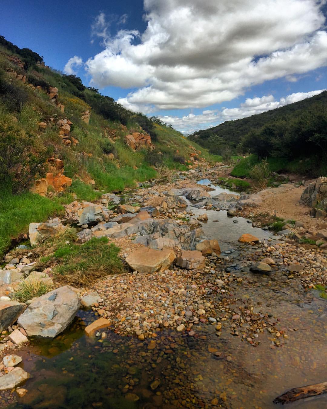
Oak Creek Running Across Oak Creek Drive IR

Lake Jennings
Another panoramic view from atop Blue Rock in Santee

Mulberry Leaf Patterns
Panoramic view of Santee at sunset.

Color and Textures

Summit Silhouette at Cowles Mountain – San Diego, California
Gateway to Mission Valley

Santee Lakes on the Winter Solstice With Sun Flare - Infrared

Mega Cloud
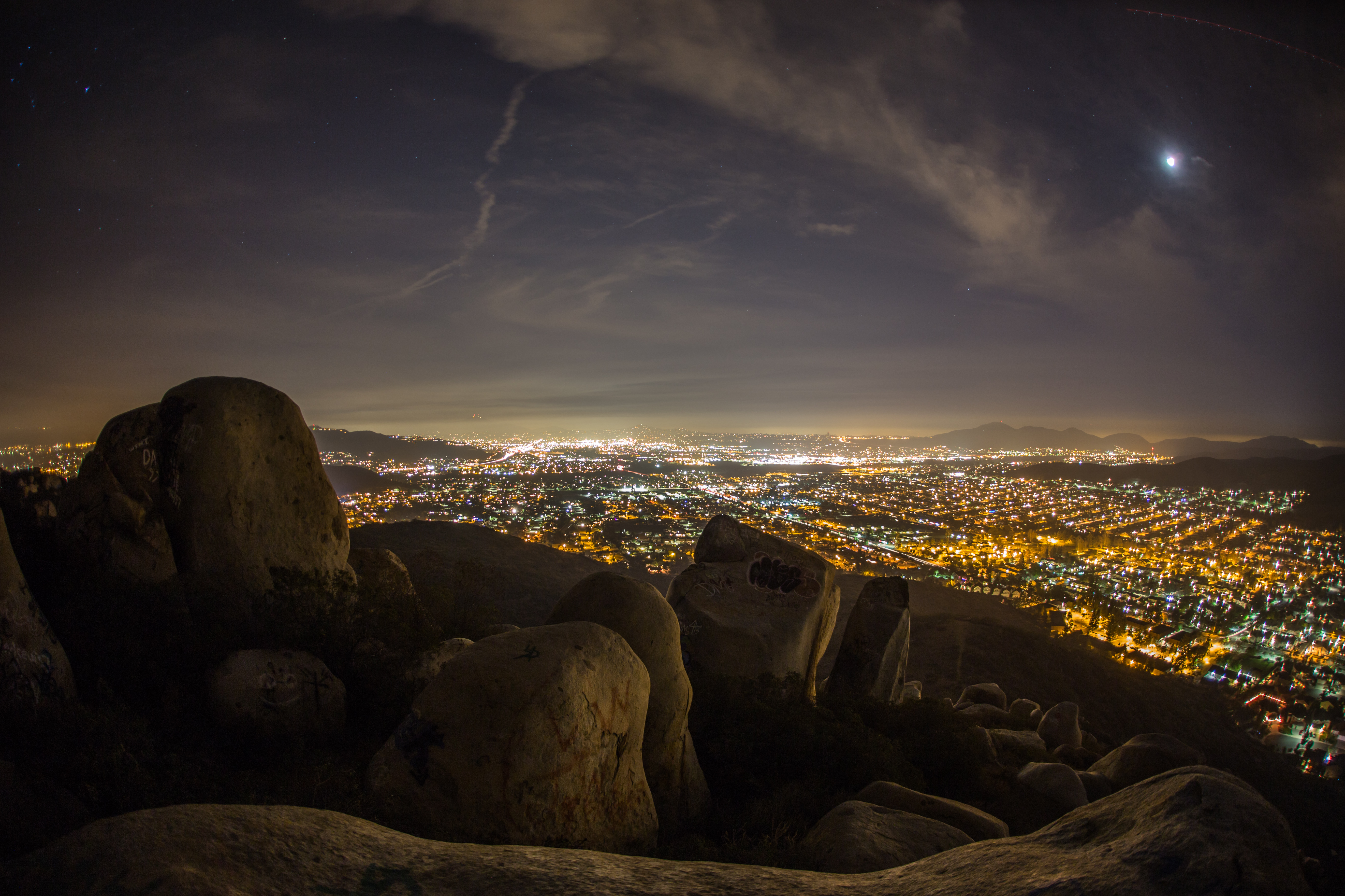
Rocks atop a mountain at night.
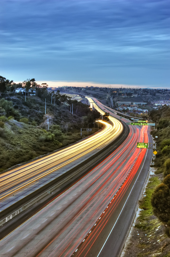
Northbound 805
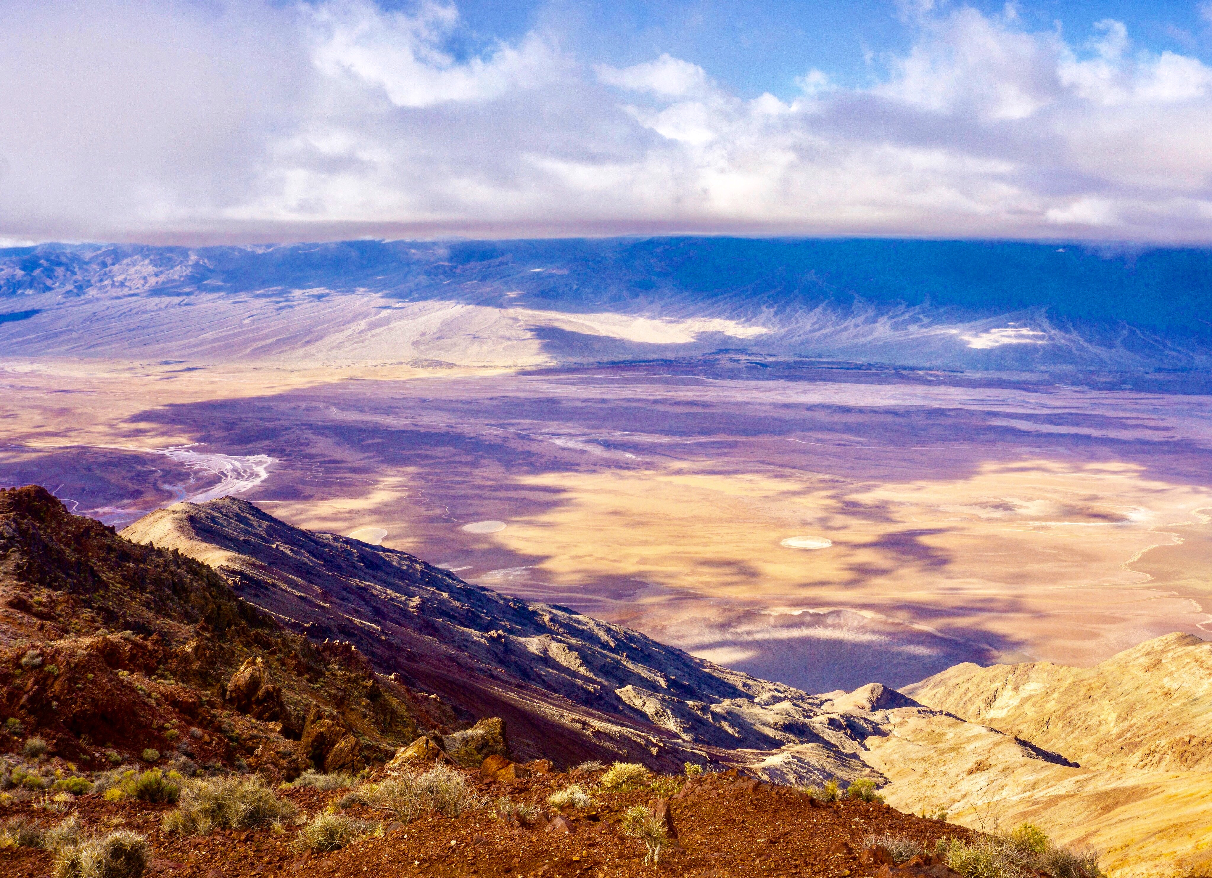
Dante View
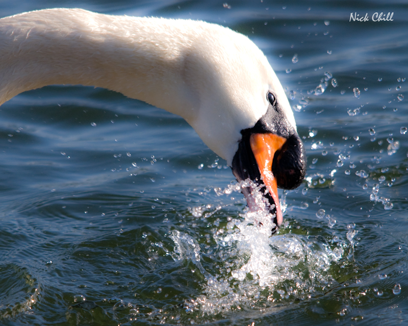
Mute Swan Splash

Morning Fog

another View

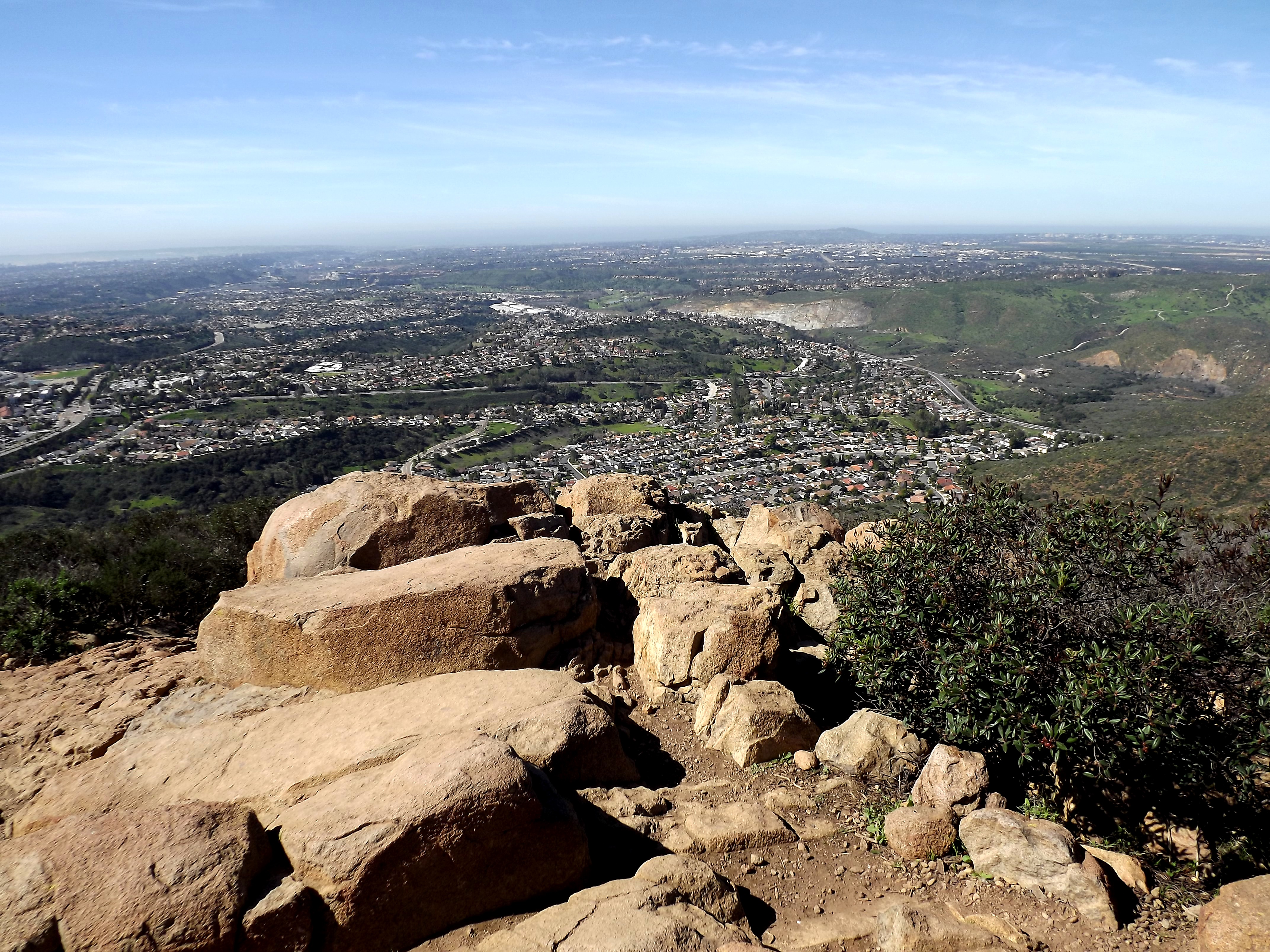
Another view from the top of the mountain.

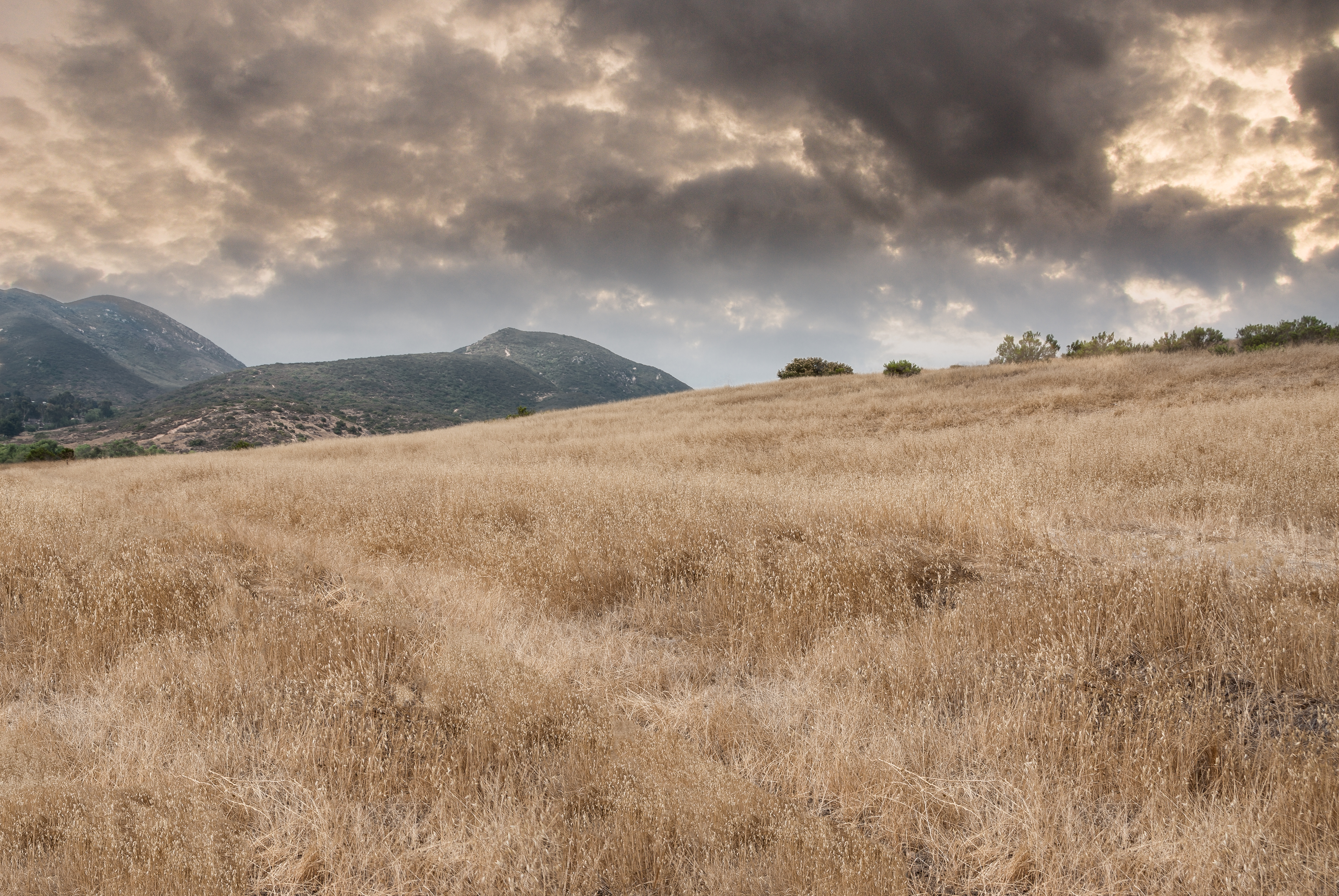
Broken Spring Dreams ...

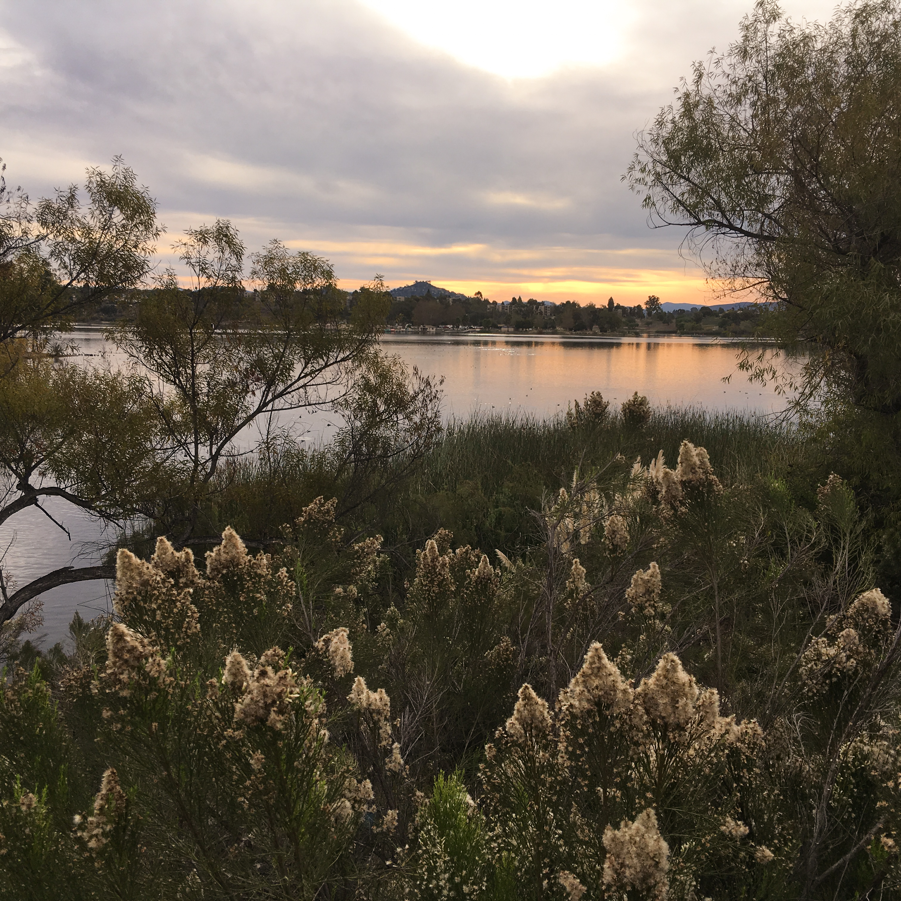
Lindo Lake - The Temp - Explored
looking sw from summit
PEDB20120703-032-Edit-Edit.jpg

HalfDome view from Glacier Point

Tree Reflections At Santee Lakes
PEDB20151025-IP-001

No Slowing Down

PEDB20161206-040-HDR.jpg
Sunset on the Watchman
PEDB20161101-029-Pano.jpg

Once a man, twice a child
PEDB20130402-036.jpg
PEDB20180218-IP-1
Water along Oak Canyon.
PEDB20121023-045-Edit.jpg
PEDB20090818-019-Edit-Edit.jpg

PEDB20150714-010-HDR.jpg

Visitor Center Loop Trail - Mission Trails Park
Oak Canyon Trail - Mission Trails Park
PEDB20121120-003.jpg
Topographic Map of Hacienda Dr, El Cajon, CA, USA
Find elevation by address:

Places near Hacienda Dr, El Cajon, CA, USA:
Hills Lake Drive
2058 Estela Dr
9246 Todos Santos Dr
Fletcher Hills
Bobhird Drive
8676 Climax Ct
6581 Jaffe Ct
North Westwind Drive
7205 Ballinger Ave
7141 Cowles Mountain Blvd
6549 Jaffe Ct
9355 De Camp Dr
6208 Lake Apopka Pl
9550 Lakeview Dr
6313 Boulder Lake Ave
6307 Boulder Lake Ave
Lake Murray
Lake Murray Boulevard
Lake Murray Boulevard
Recent Searches:
- Elevation of 72-31 Metropolitan Ave, Middle Village, NY, USA
- Elevation of 76 Metropolitan Ave, Brooklyn, NY, USA
- Elevation of Alisal Rd, Solvang, CA, USA
- Elevation of Vista Blvd, Sparks, NV, USA
- Elevation of 15th Ave SE, St. Petersburg, FL, USA
- Elevation of Beall Road, Beall Rd, Florida, USA
- Elevation of Leguwa, Nepal
- Elevation of County Rd, Enterprise, AL, USA
- Elevation of Kolchuginsky District, Vladimir Oblast, Russia
- Elevation of Shustino, Vladimir Oblast, Russia