Elevation of Hōsenmachi, Yonezawa-shi, Yamagata-ken -, Japan
Location: Japan > Yamagata Prefecture > Yonezawa >
Longitude: 140.115100
Latitude: 37.8827724
Elevation: 275m / 902feet
Barometric Pressure: 98KPa
Elevation Map:
Satellite Map:
Related Photos:
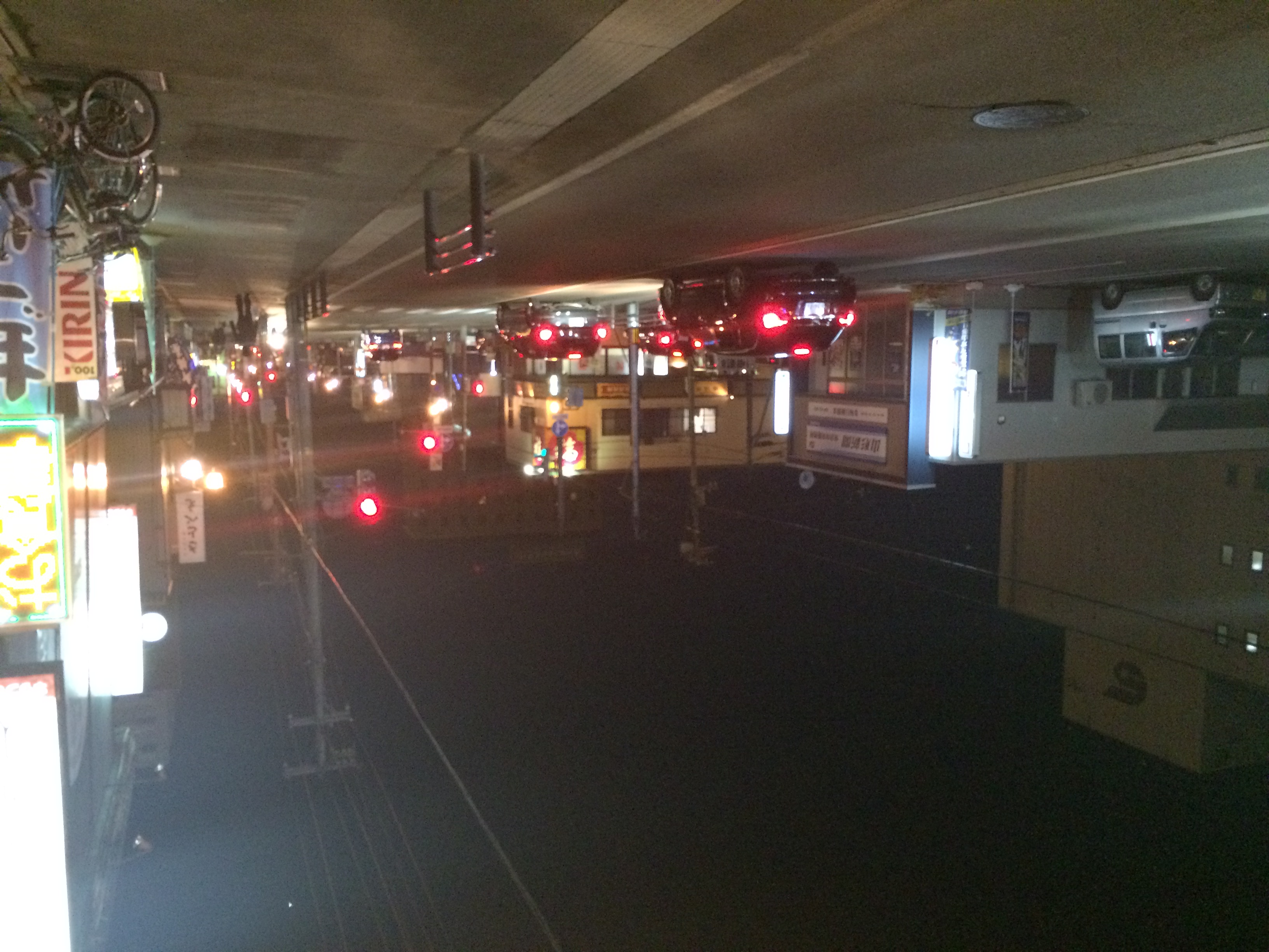
Yonezawa Night View
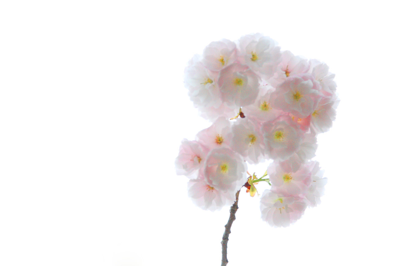
Double cherry blossom
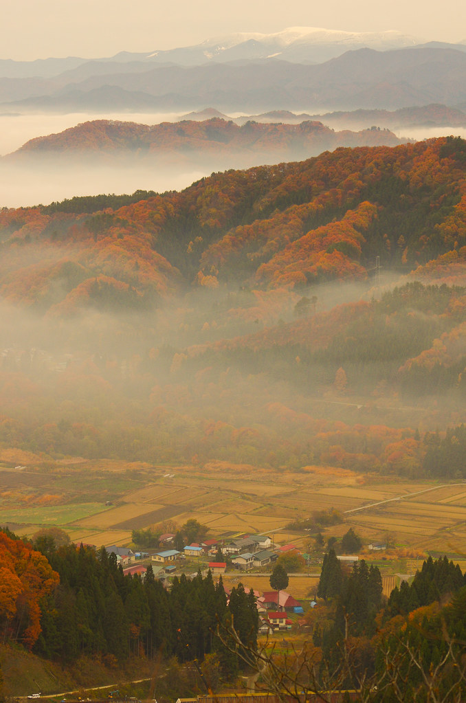
View with the fog

View with the fog

Backside view of a banner

Denkoku no Mori
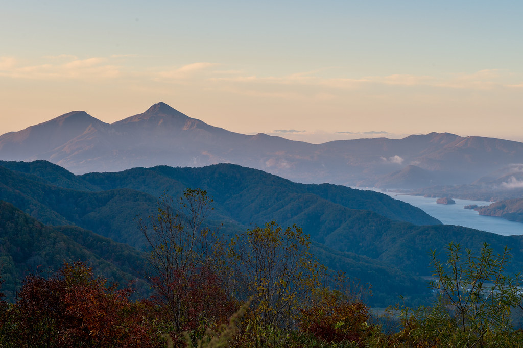
Lake Inawashiro and Bandai
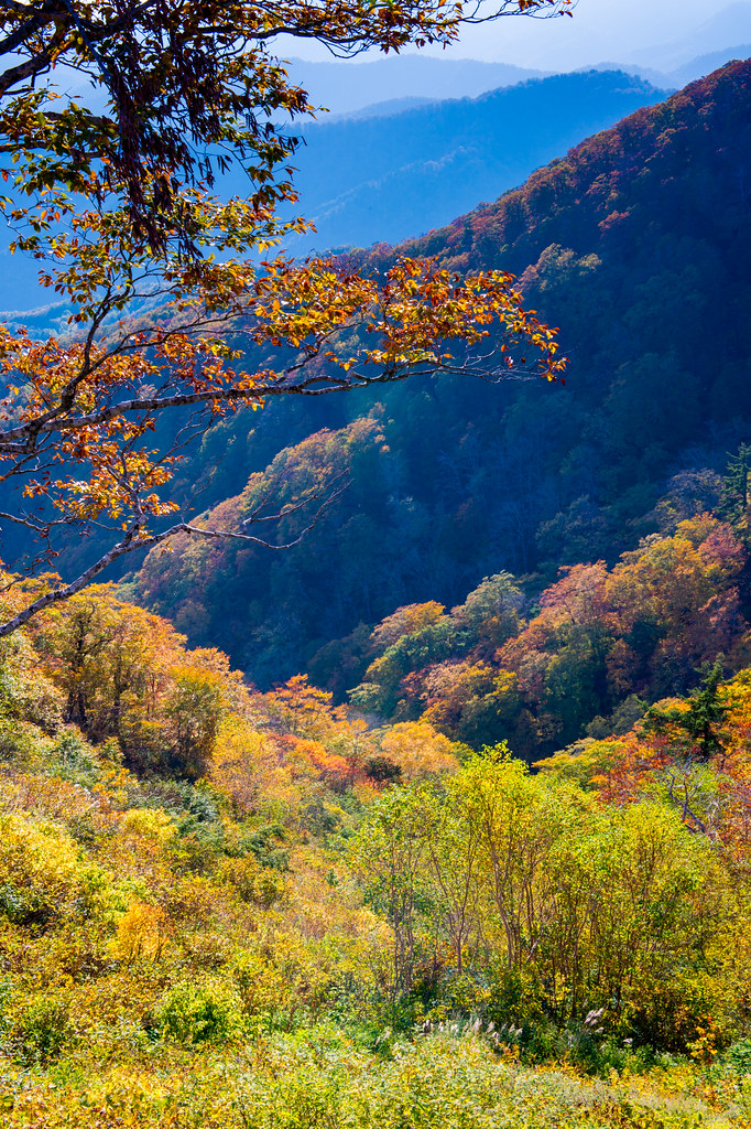
2014 Autumn color
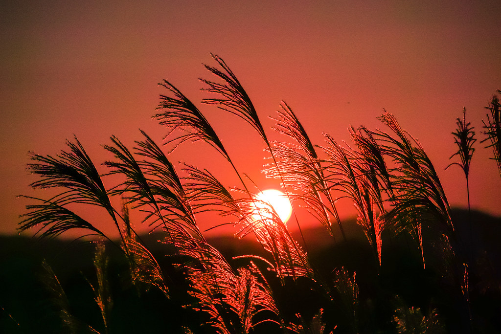
Pampas grass and sunset
Autumn fall
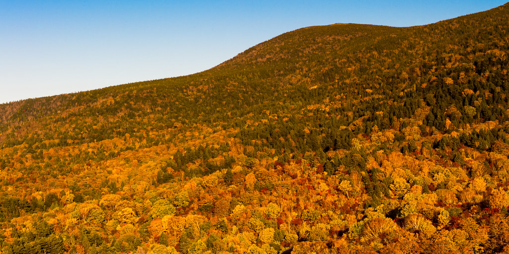
Shine in the evening sun
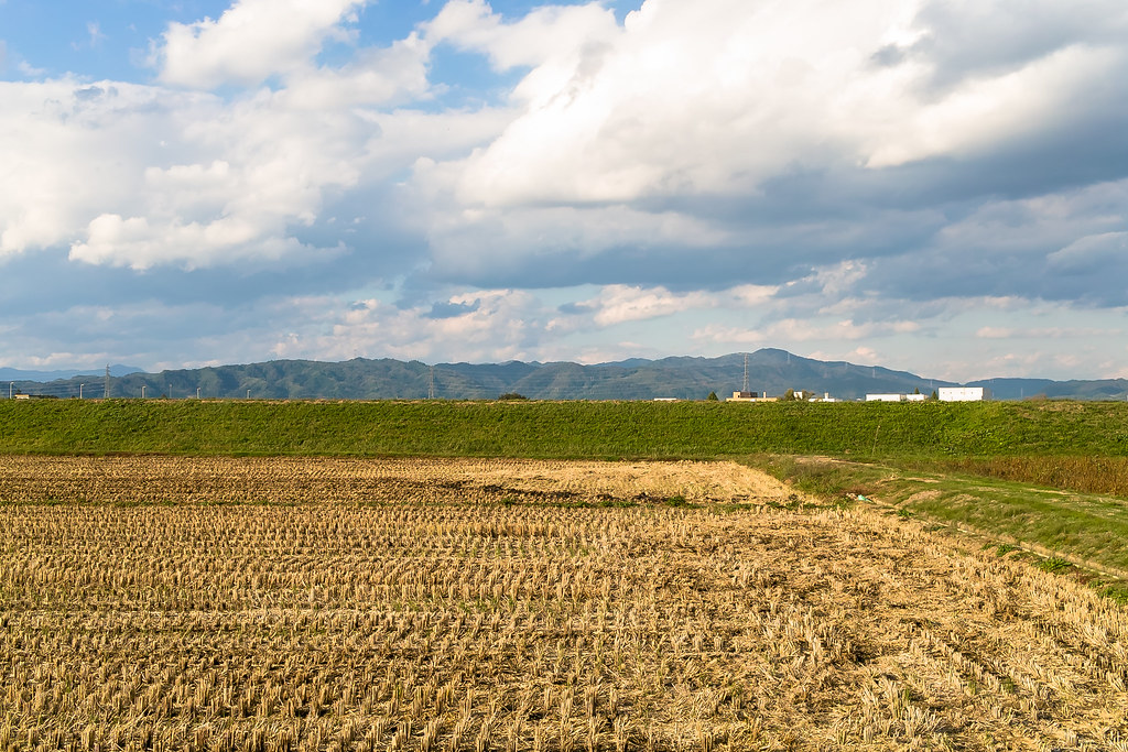
Rural landscape 1
Yonezawa Valley
白鳥がいましたね。
Mogami River
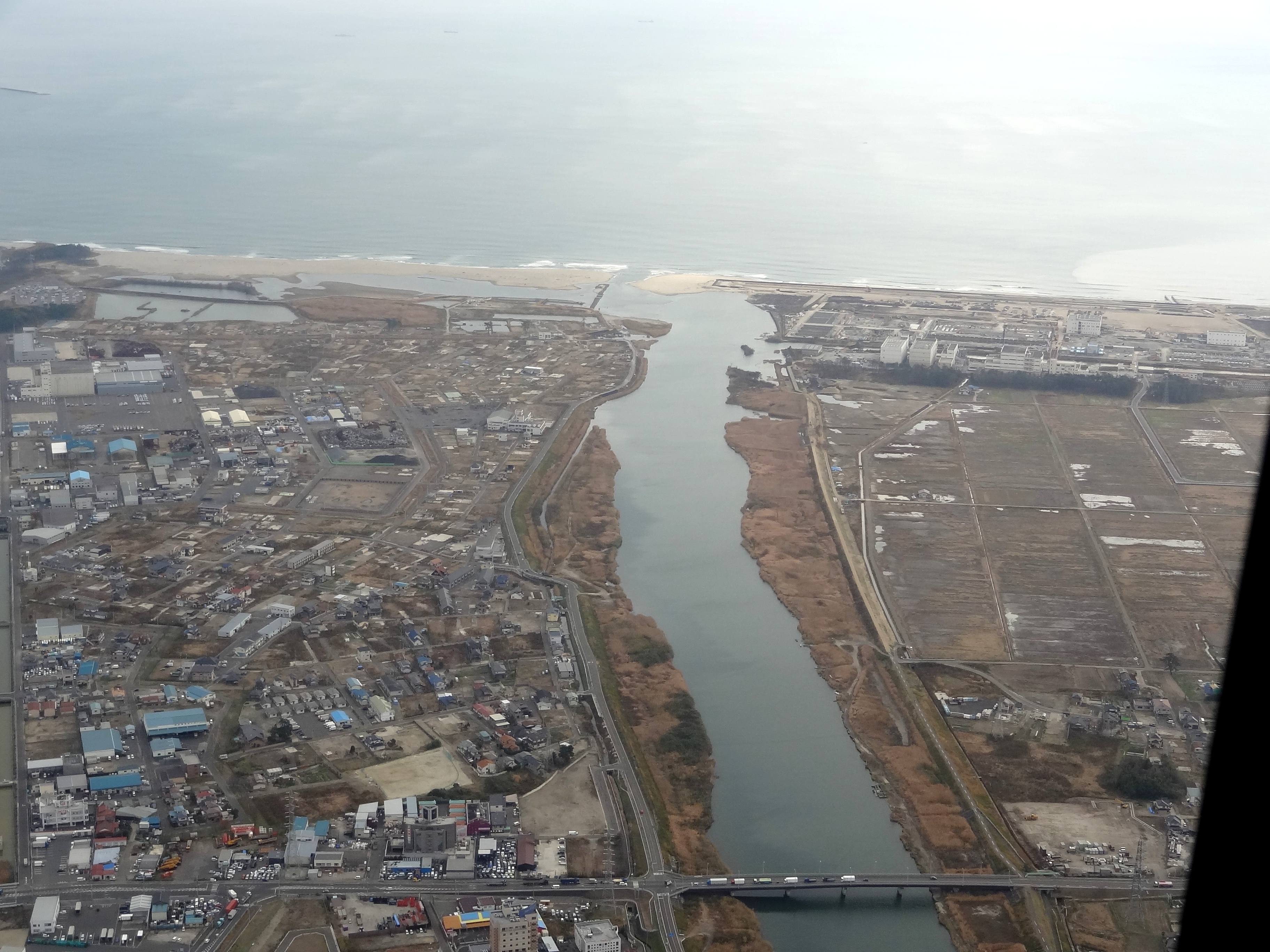
七北田川・蒲生海岸@陸上自衛隊UH-1
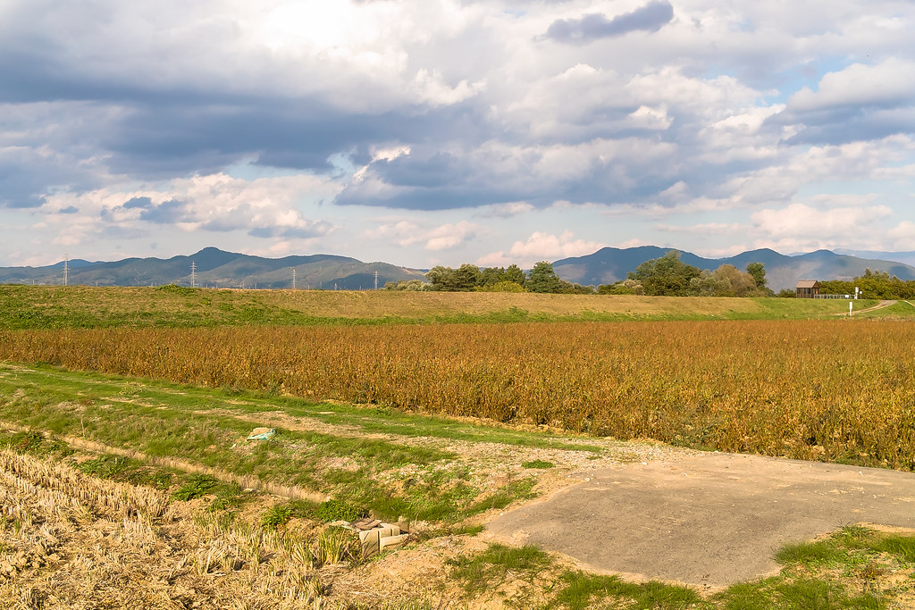
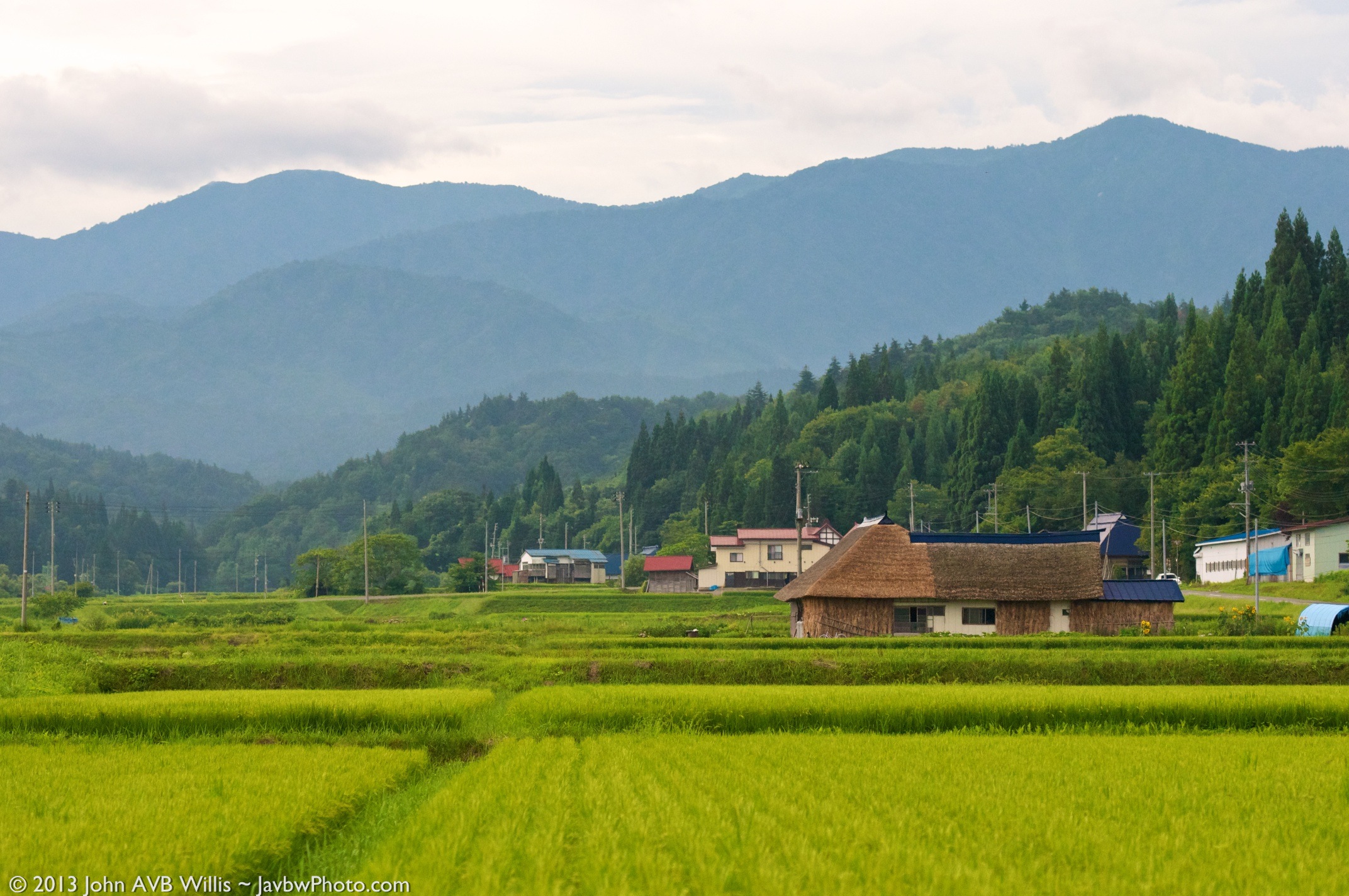
Rural landscape 2

山の中4
Rural landscape 3
米沢散歩 籍田の礼
Mogami River

Vanishing Point

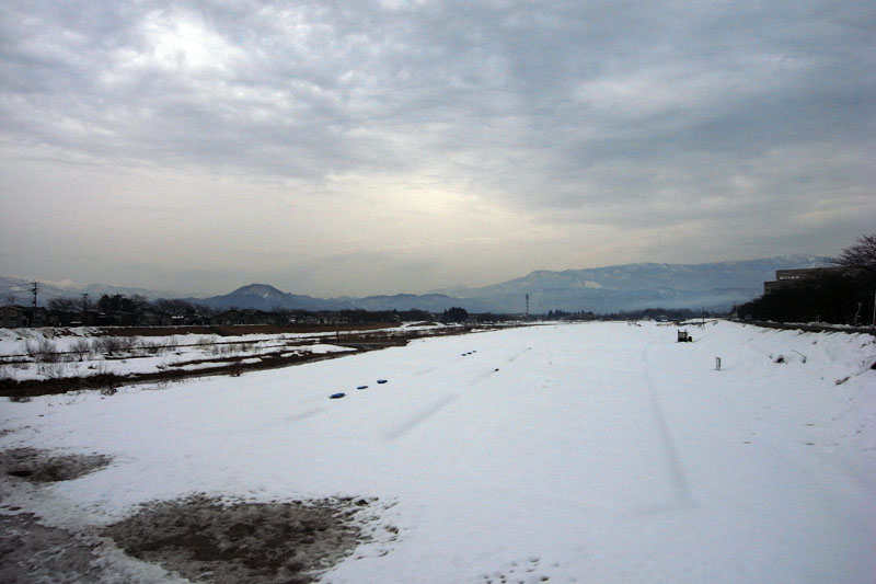
Morning fog
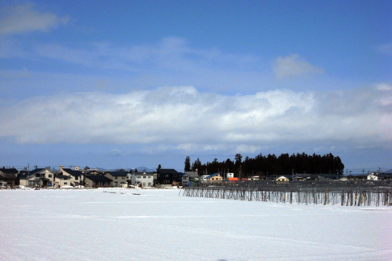
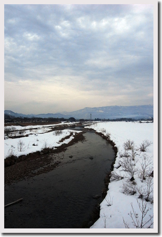
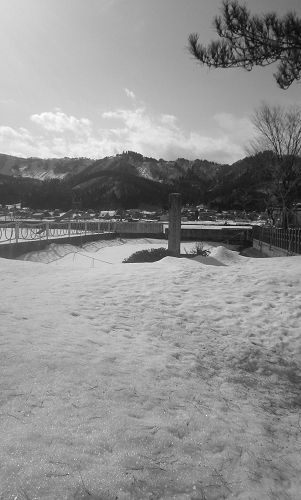
米沢の街 雪景色
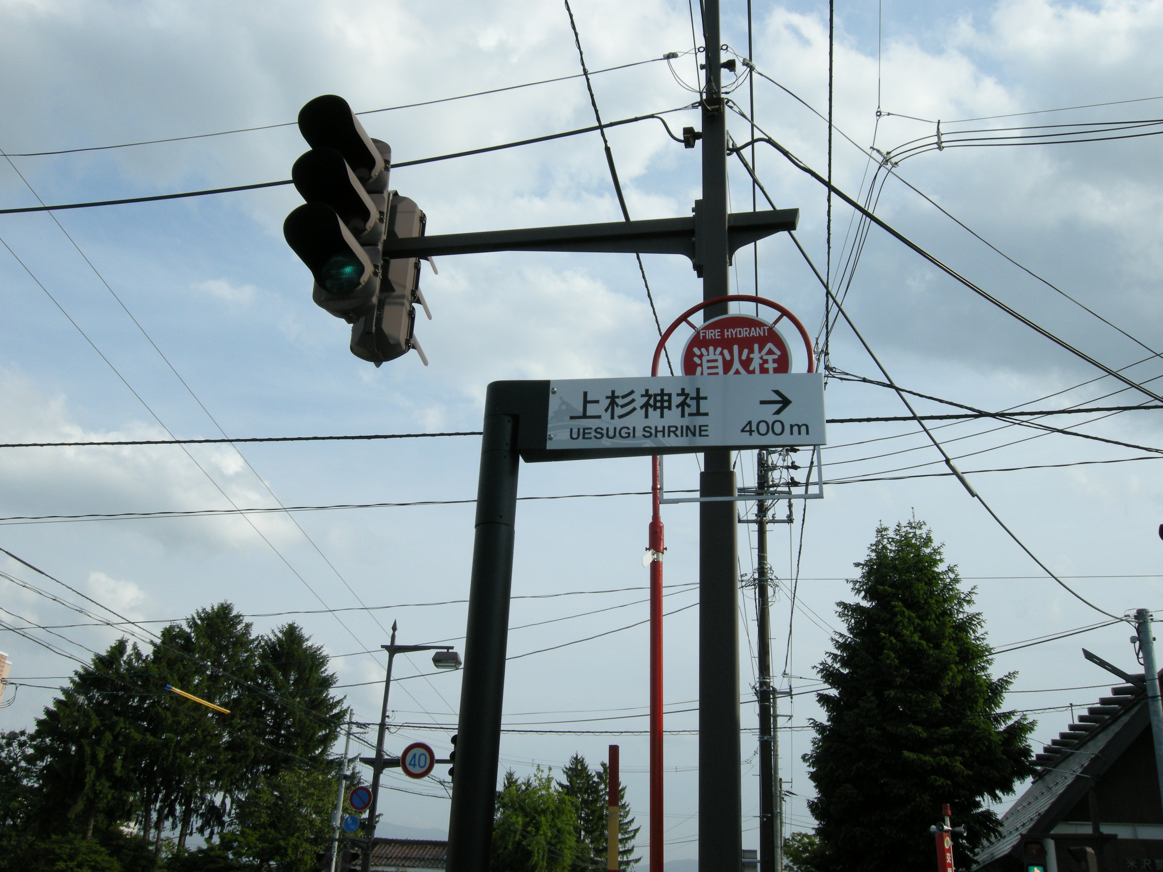
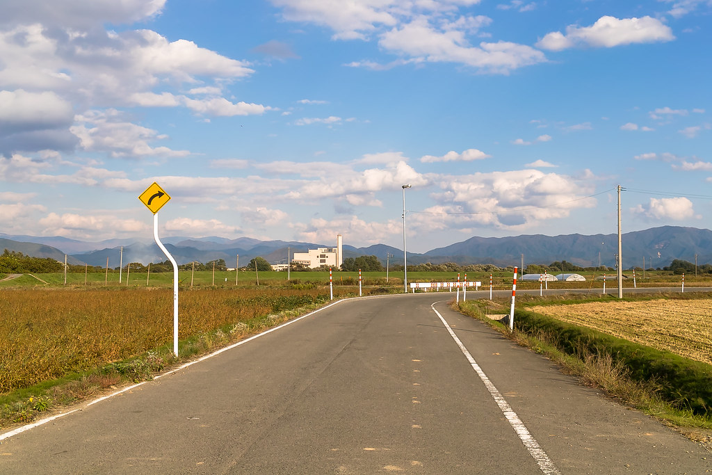
Direction signs and Traffic light
Topographic Map of Hōsenmachi, Yonezawa-shi, Yamagata-ken -, Japan
Find elevation by address:

Places near Hōsenmachi, Yonezawa-shi, Yamagata-ken -, Japan:
2 Chome-4-28 Shimohanazawa, Yonezawa-shi, Yamagata-ken -, Japan
Yonezawa
1-70 Bukiyashikimachi, Yonezawa-shi, Yamagata-ken -, Japan
Minamiōrensawayama--31 Hibara, Kitashiobara-mura, Yama-gun, Fukushima-ken -, Japan
Yama District
Ōkubo- Ōshio, Kitashiobara-mura, Yama-gun, Fukushima-ken -, Japan
Mount Bandai
Kitashiobara
Bandaisan
Mount Adatara
Inawashiro
Kirizoe- Matsuyamamachi Ōiizaka, Kitakata-shi, Fukushima-ken -, Japan
Kitakata
Ōbayashi-50 Kawahigashimachi Hatta, Aizuwakamatsu-shi, Fukushima-ken -, Japan
1 Sakaemachi
Fukushima Station
Wakamiya- Shiokawamachi Shinagawa, Kitakata-shi, Fukushima-ken -, Japan
Yamatomachi Ichinoki
Fukushima Prefecture
Fukushima
Recent Searches:
- Elevation of S Layton Cir W, Layton, UT, USA
- Elevation of F36W+3M, Mussoorie, Uttarakhand, India
- Elevation of Fairland Ave, Fairhope, AL, USA
- Elevation of Sunset Dr, Richmond, VA, USA
- Elevation of Grodna District, Hrodna Region, Belarus
- Elevation of Hrodna, Hrodna Region, Belarus
- Elevation of Sandia Derby Estates, Tijeras, NM, USA
- Elevation of 23 Sunrise View Ct, Tijeras, NM, USA
- Elevation of Lytham Ln, Katy, TX, USA
- Elevation of Tater Hill, Oklahoma, USA