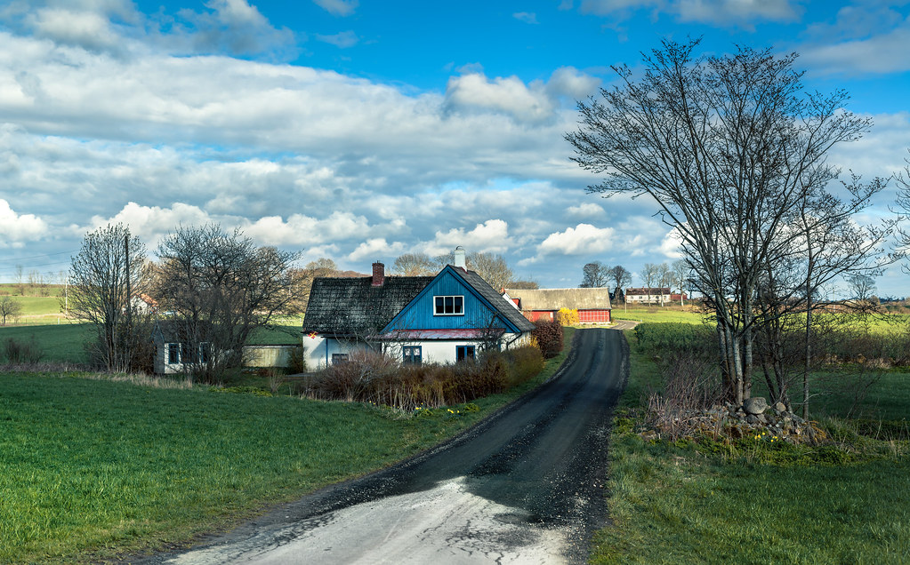
Elevation of Hörjelvägen, 70 Lövestad, Sweden
Location: Sweden > Skåne County > Sjöbo No >
Longitude: 13.9058452
Latitude: 55.5925007
Elevation: 76m / 249feet
Barometric Pressure: 100KPa
Elevation Map:
Satellite Map:
Related Photos:

St Olof church interior with pillar
Skåne län, Sverige
Skåne i mitt hjärta
Corner View
Views.
Views.

Views.

Views.
Views.
Views.

Views.
Views.
Views.

Views.
Views.

Views.

Views.
Views.
A summer's day (2)
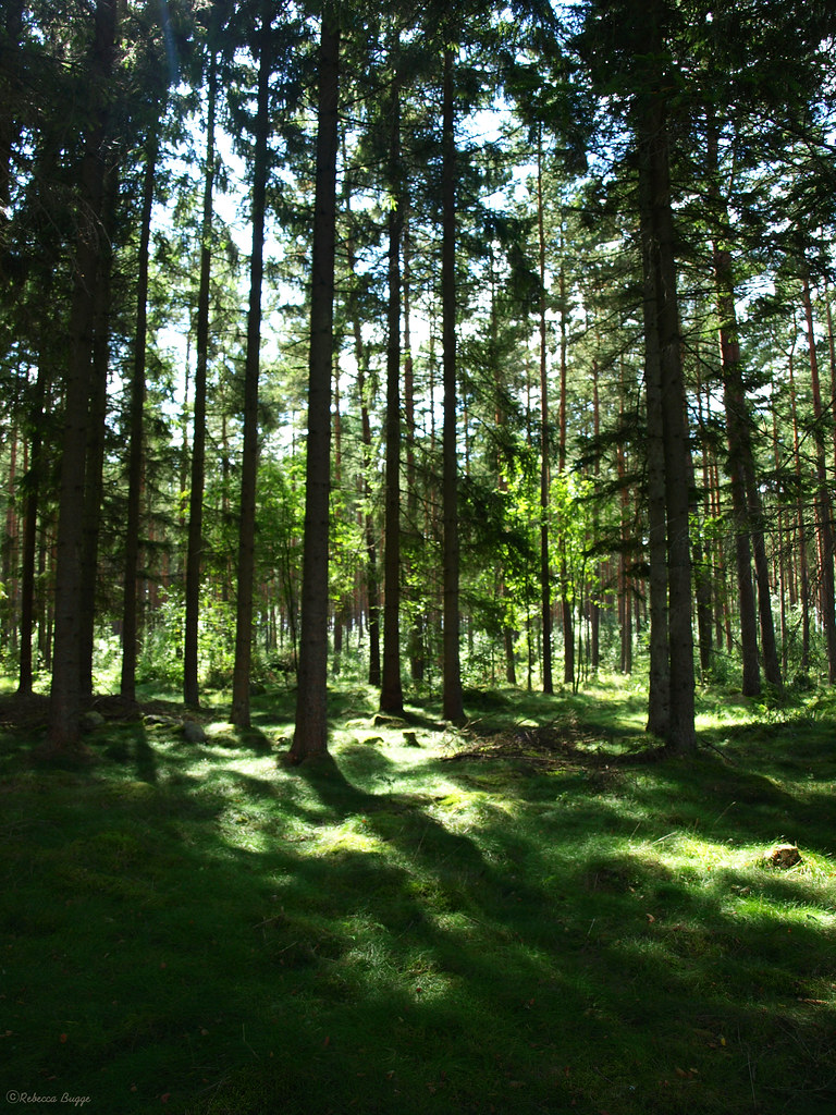
Spruce forest

Summer Apogee

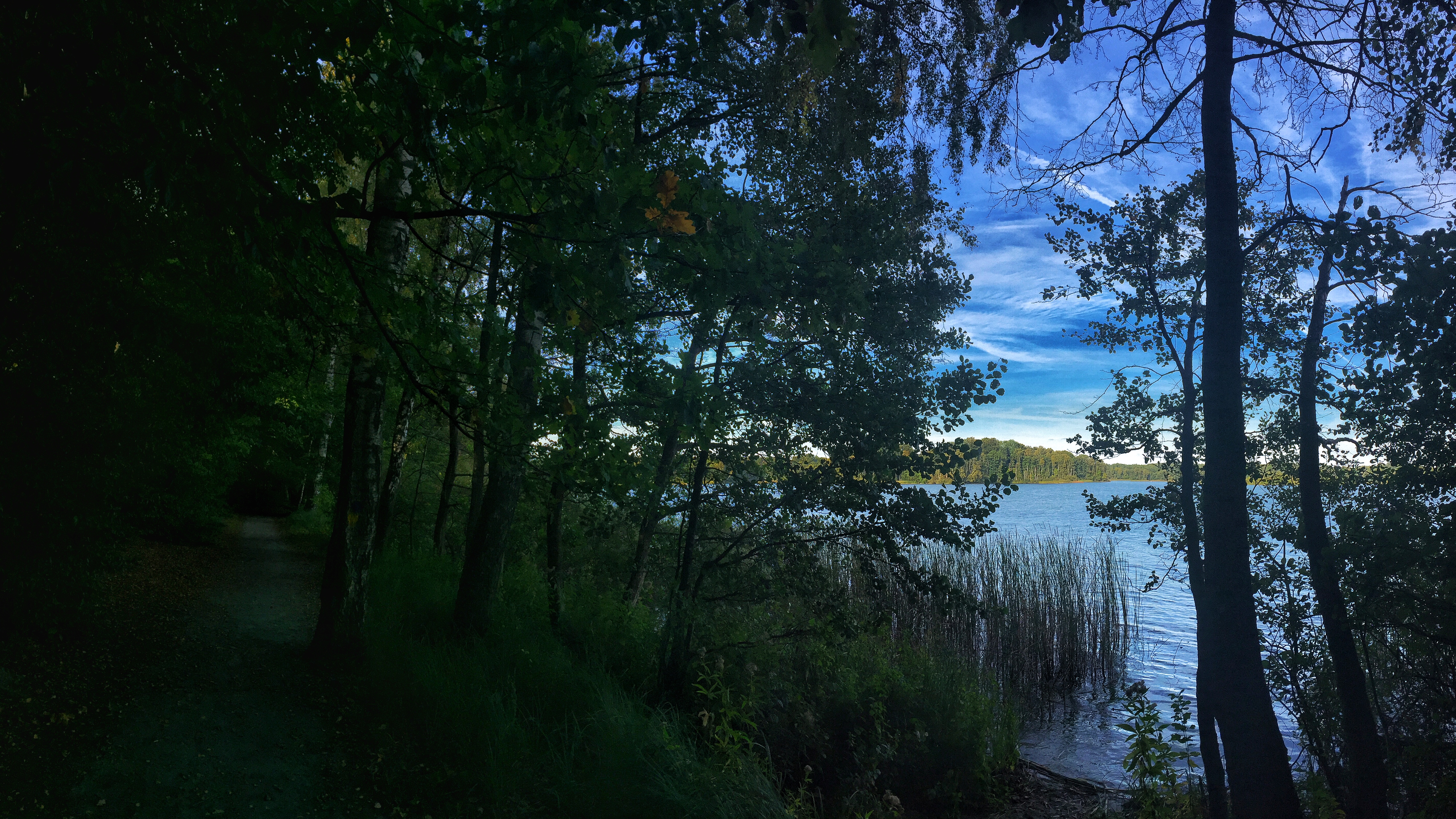
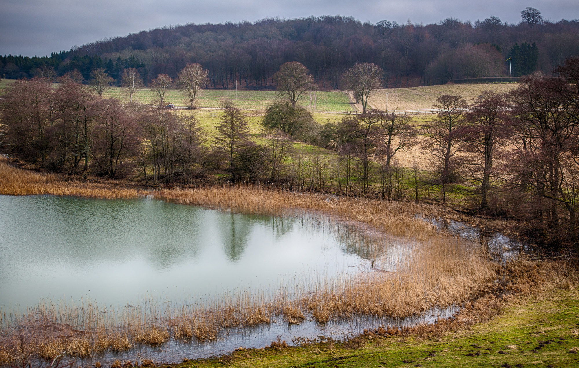
The Dark Woods

Genom bokskogsgrottan

Bliss. #KustTillKust

The joy of the countryside. #KustTillKust

Deep forest

_DSC0106.jpg

Clouds. ✌️

On the ridge

Road in color

All power

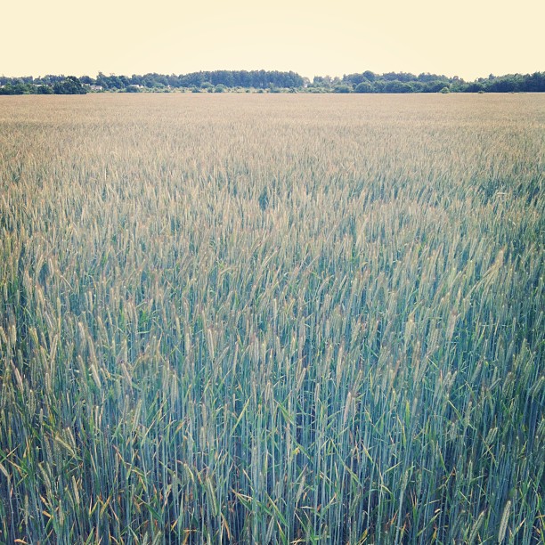
Field in color

Halla Mölla Waterfall

Project Fika - Allé

Soon gone by the wind

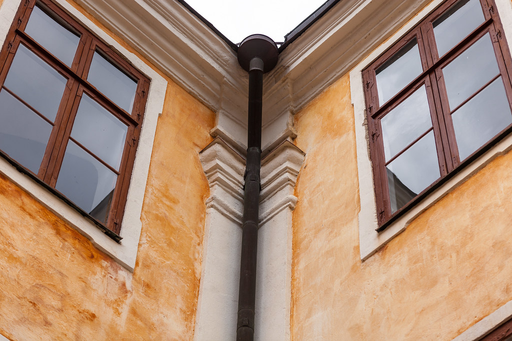
Roof angle

_DSC0108.jpg
160227-0001.jpg
Topographic Map of Hörjelvägen, 70 Lövestad, Sweden
Find elevation by address:

Places near Hörjelvägen, 70 Lövestad, Sweden:
Tranåsvägen 6, 31 Äsperöd, Sweden
Gjutaregatan 1, 75 Lövestad, Sweden
Tomelilla
Ryvägen 24-16
6b
Ystad M
Sjöbo No
Piledalsvägen
Sjöbo
Folkestorps Byväg 101
Skvadronsvägen 27, 60 Ystad, Sweden
Gamla Staden-sandskogen
Apgränd 12
Ystad
Ingelstorp
Sjöbo
Ystad V
Orgelgatan 1, 92 Ystad, Sweden
Peppingevägen 28
Rynge Gårds Väg
Recent Searches:
- Elevation of S Layton Cir W, Layton, UT, USA
- Elevation of F36W+3M, Mussoorie, Uttarakhand, India
- Elevation of Fairland Ave, Fairhope, AL, USA
- Elevation of Sunset Dr, Richmond, VA, USA
- Elevation of Grodna District, Hrodna Region, Belarus
- Elevation of Hrodna, Hrodna Region, Belarus
- Elevation of Sandia Derby Estates, Tijeras, NM, USA
- Elevation of 23 Sunrise View Ct, Tijeras, NM, USA
- Elevation of Lytham Ln, Katy, TX, USA
- Elevation of Tater Hill, Oklahoma, USA