Elevation of Hưng Nguyên District, Nghe An, Vietnam
Location: Vietnam > Nghe An >
Longitude: 105.629523
Latitude: 18.6316742
Elevation: 5m / 16feet
Barometric Pressure: 101KPa
Elevation Map:
Satellite Map:
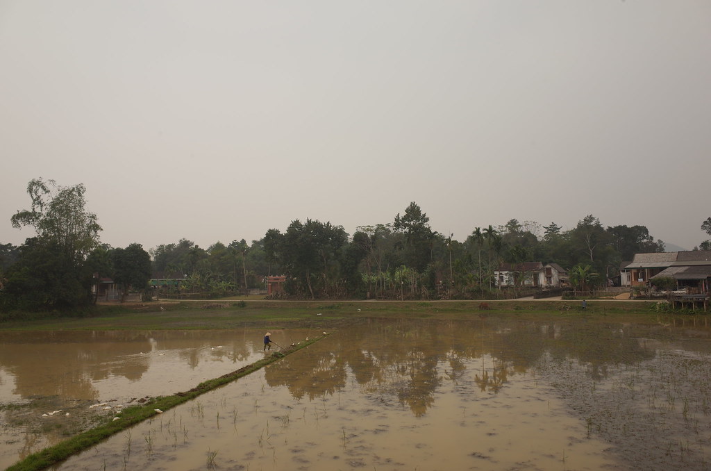
Related Photos:

it'sminenow

Room with a view

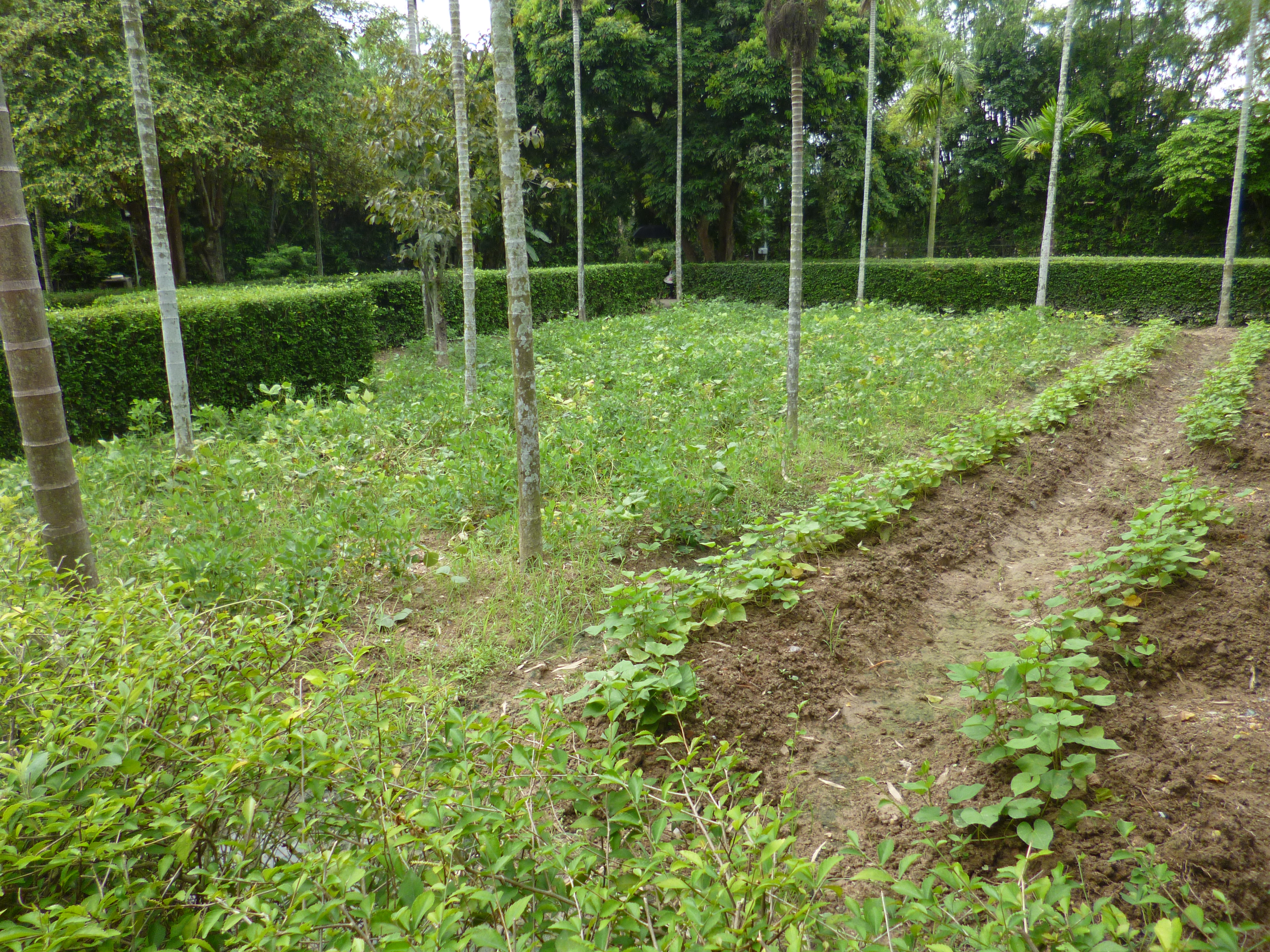
view from lemontree plantation
Room with a view

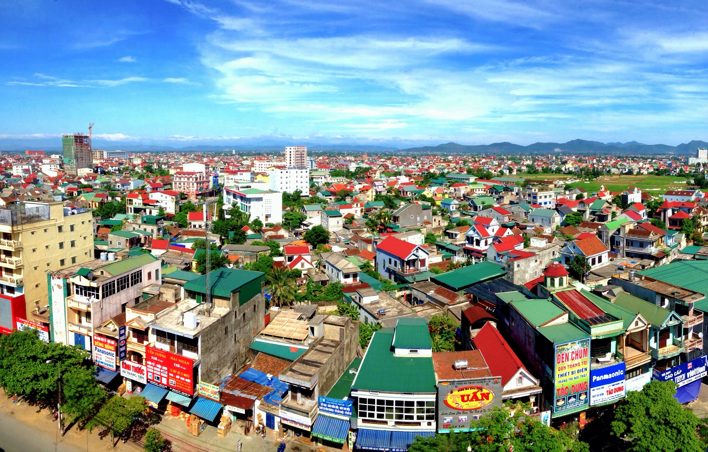
Cầu bến Thủy- Nghệ An
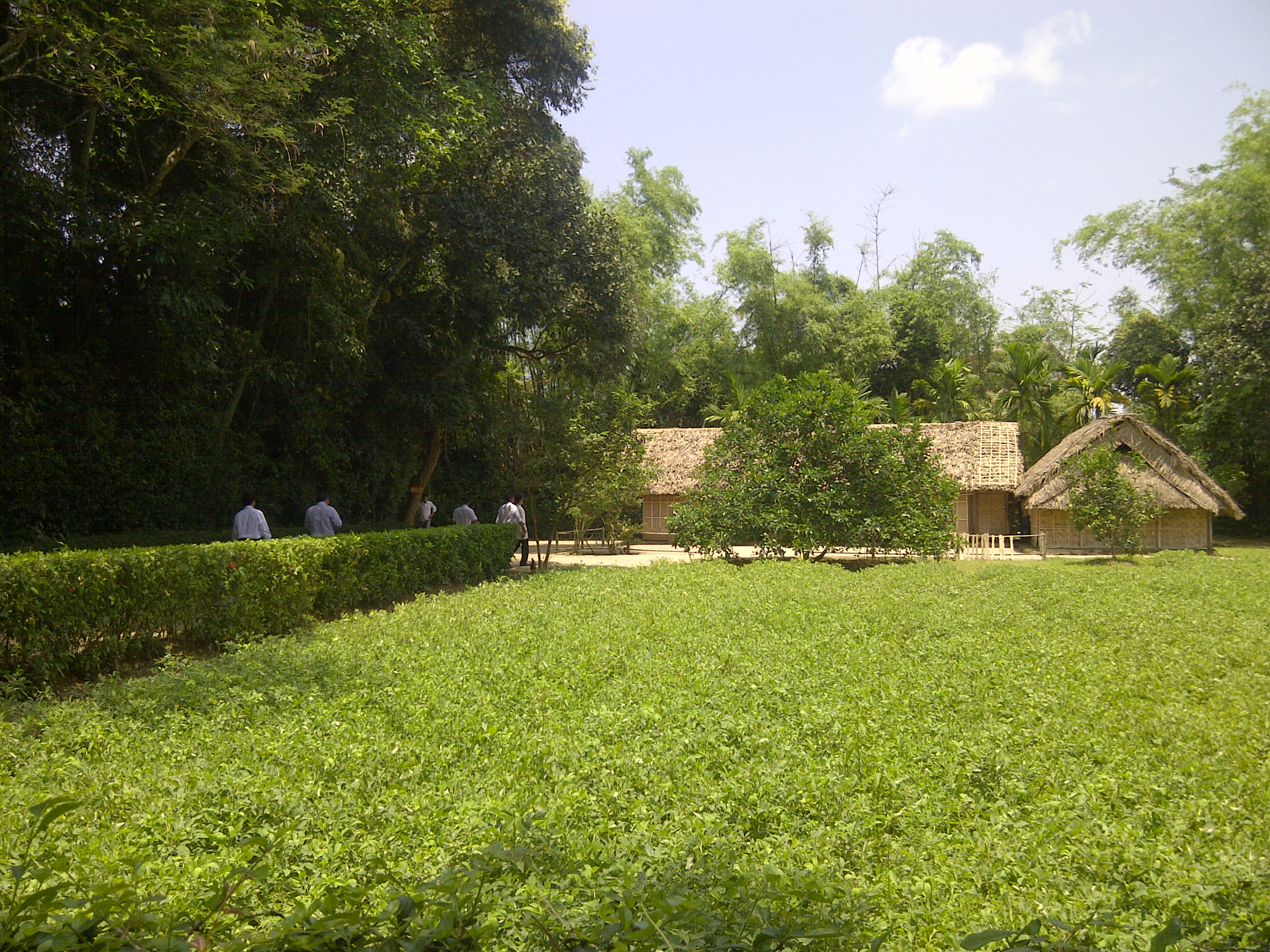
Ho Chi Minh's birthplace

7/25/09 14:22:13
7/25/09 14:39:35

We used the mountain road from Vietnam to Laos. It was steep, slippery, foggy and lots of curves. Vinh, Vietnam, the team continued their journey to Laos. #Photographer #GGTravels #GoDsGiFtTravels #JetSetter #JetSetterLife #MediaLife #ILuvMyJob #ASIA #AS

Good morning
Chuyện những chuyến đi

brick factory

Hoang hon phi truong...@@"!
R0058562.JPG
Topographic Map of Hưng Nguyên District, Nghe An, Vietnam
Find elevation by address:

Places in Hưng Nguyên District, Nghe An, Vietnam:
Places near Hưng Nguyên District, Nghe An, Vietnam:
Hưng Xá
Cầu Yên Xuân
Cửa Lò
Nghi Xá
Công Ty Tnhh Cargill Việt Nam Cn Nghệ An
Diễn Châu District
Diễn Hồng
Recent Searches:
- Elevation of Blattner Rd, Philo, CA, USA
- Elevation of Polzela, Slovenia
- Elevation of Gorod Kislovodsk, Stavropol Krai, Russia
- Elevation of Kislovodsk, Stavropol Krai, Russia
- Elevation of Eagle Stone Drive, Eagle Stone Dr, The Preserve at Corkscrew, FL, USA
- Elevation of Formby Ct, Myrtle Beach, SC, USA
- Elevation of Hobbyhorse Ct, Dover, DE, USA
- Elevation of Horseshoe Ln, Dahlonega, GA, USA
- Elevation of Village Point Dr, Daphne, AL, USA
- Elevation map of Kabardino-Balkarian Republic, Russia