Elevation of Gyp Hill, Colorado, USA
Location: United States > Colorado > Basalt >
Longitude: -106.79753
Latitude: 39.3783185
Elevation: 2684m / 8806feet
Barometric Pressure: 73KPa
Elevation Map:
Satellite Map:
Related Photos:
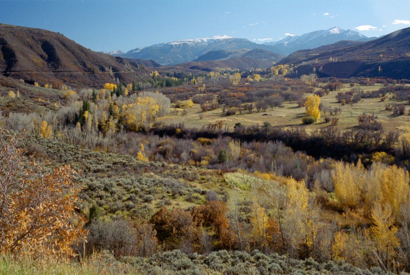
Watson Divide view
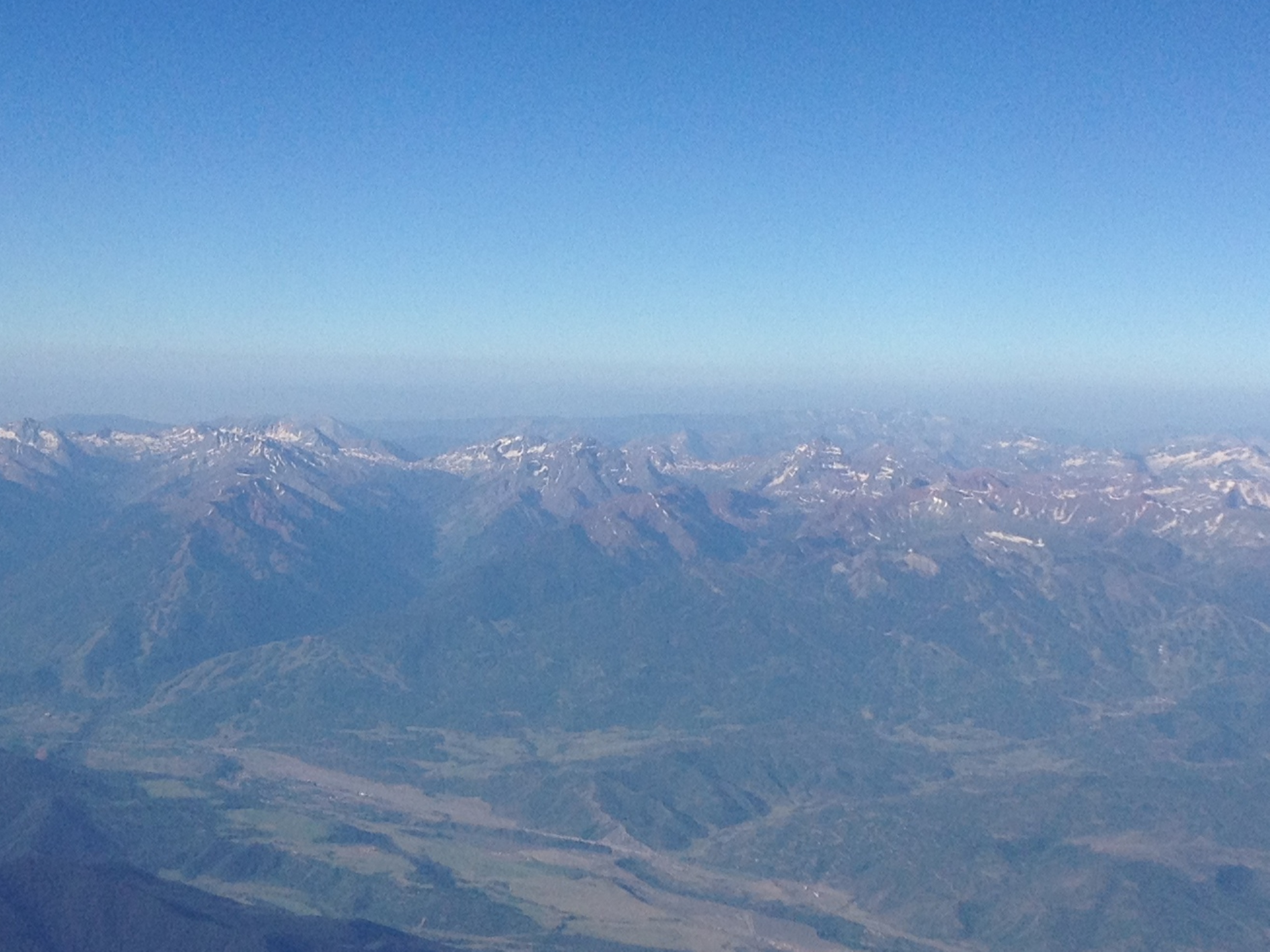
Aerial view of Aspen and Maroon Bells

2010-08-21 16 SLSP Campground view.JPG

2010-08-21 06 Looking into Sylvan Lake State Park.JPG
Topographic Map of Gyp Hill, Colorado, USA
Find elevation by address:

Places near Gyp Hill, Colorado, USA:
Red Table Mountain
Mount Thomas
Sylvan Lake
Sylvan Lake State Park
Hardscrabble Mountain
Mount Eve
Burnt Mountain
Coffin Mountain
9273 Brush Creek Rd
Fulford
Porphyry Mountain
39 Borah Spur
Fools Peak
Eagle County
Avalanche Peak
New York Mountain
Gold Dust Peak
3566 Territory Trail
14 Camp Fancy Spur
672 Webb Peak
Recent Searches:
- Elevation of Corso Fratelli Cairoli, 35, Macerata MC, Italy
- Elevation of Tallevast Rd, Sarasota, FL, USA
- Elevation of 4th St E, Sonoma, CA, USA
- Elevation of Black Hollow Rd, Pennsdale, PA, USA
- Elevation of Oakland Ave, Williamsport, PA, USA
- Elevation of Pedrógão Grande, Portugal
- Elevation of Klee Dr, Martinsburg, WV, USA
- Elevation of Via Roma, Pieranica CR, Italy
- Elevation of Tavkvetili Mountain, Georgia
- Elevation of Hartfords Bluff Cir, Mt Pleasant, SC, USA