Elevation of Gus Moore Road, Gus Moore Rd, Maine, USA
Location: United States > Maine > Hancock County > Penobscot >
Longitude: -68.624876
Latitude: 44.5063593
Elevation: 80m / 262feet
Barometric Pressure: 100KPa
Elevation Map:
Satellite Map:
Related Photos:
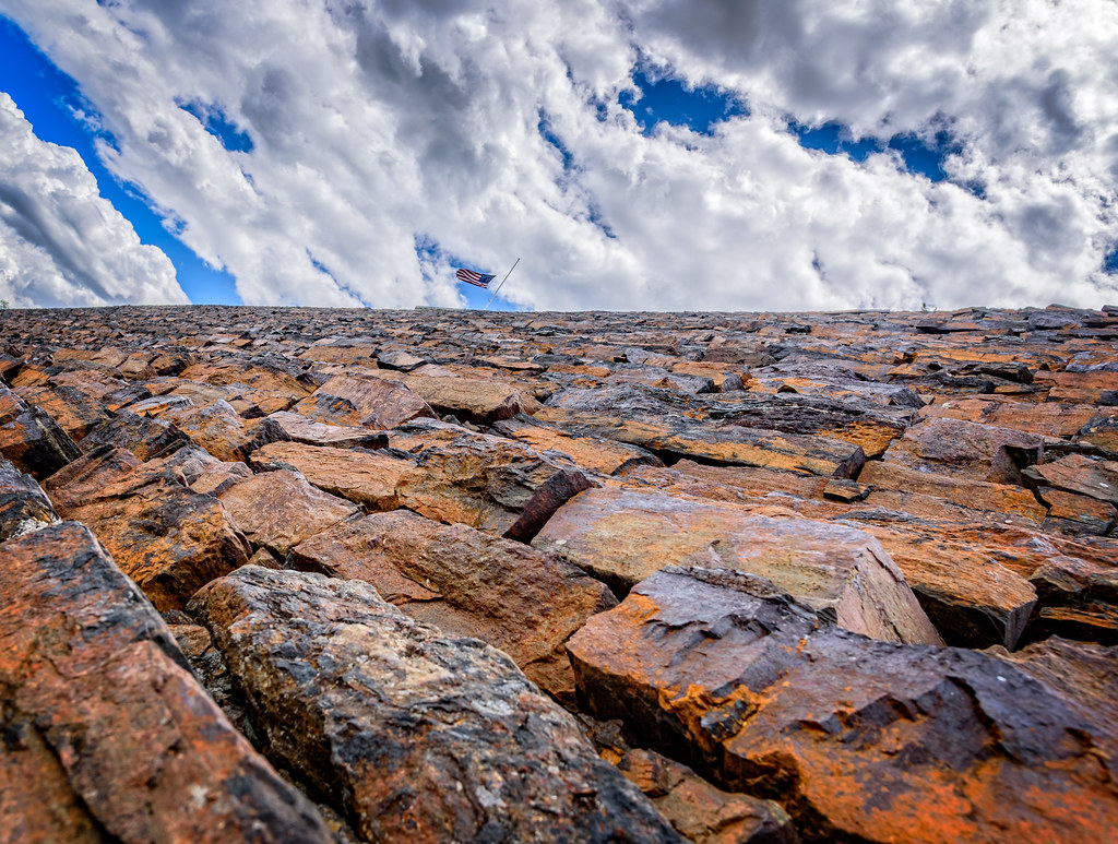
Rust Can Be Beautiful
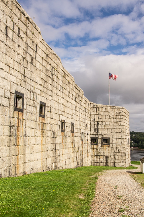
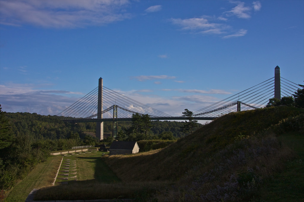
Ft.Knox Maine-7
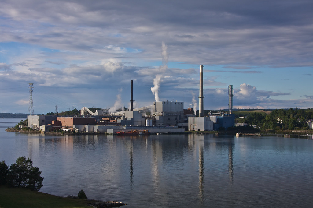
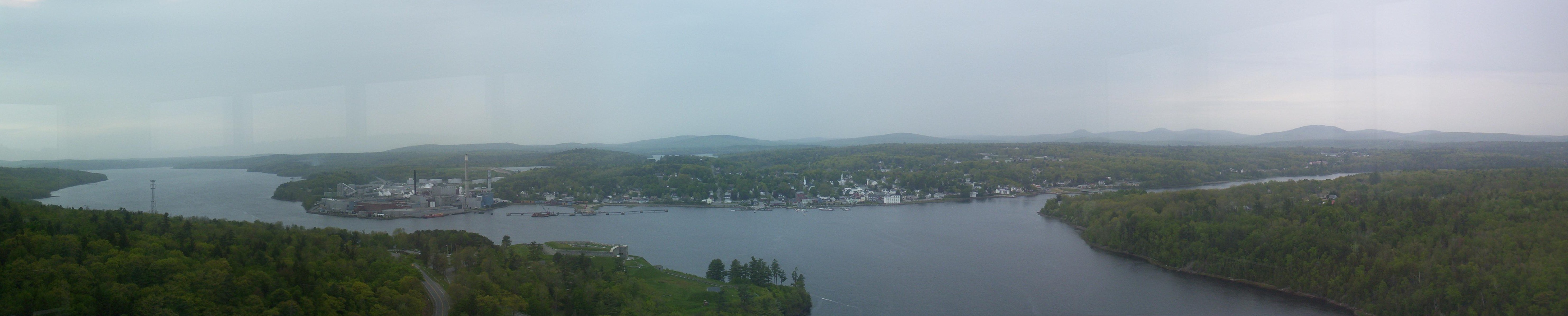
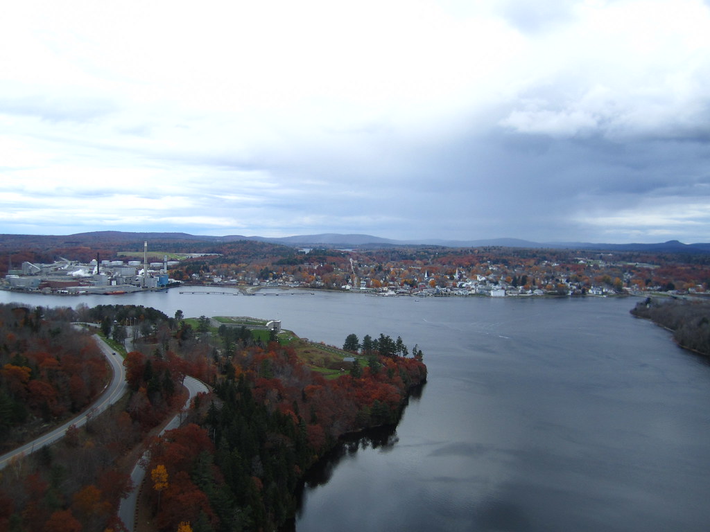
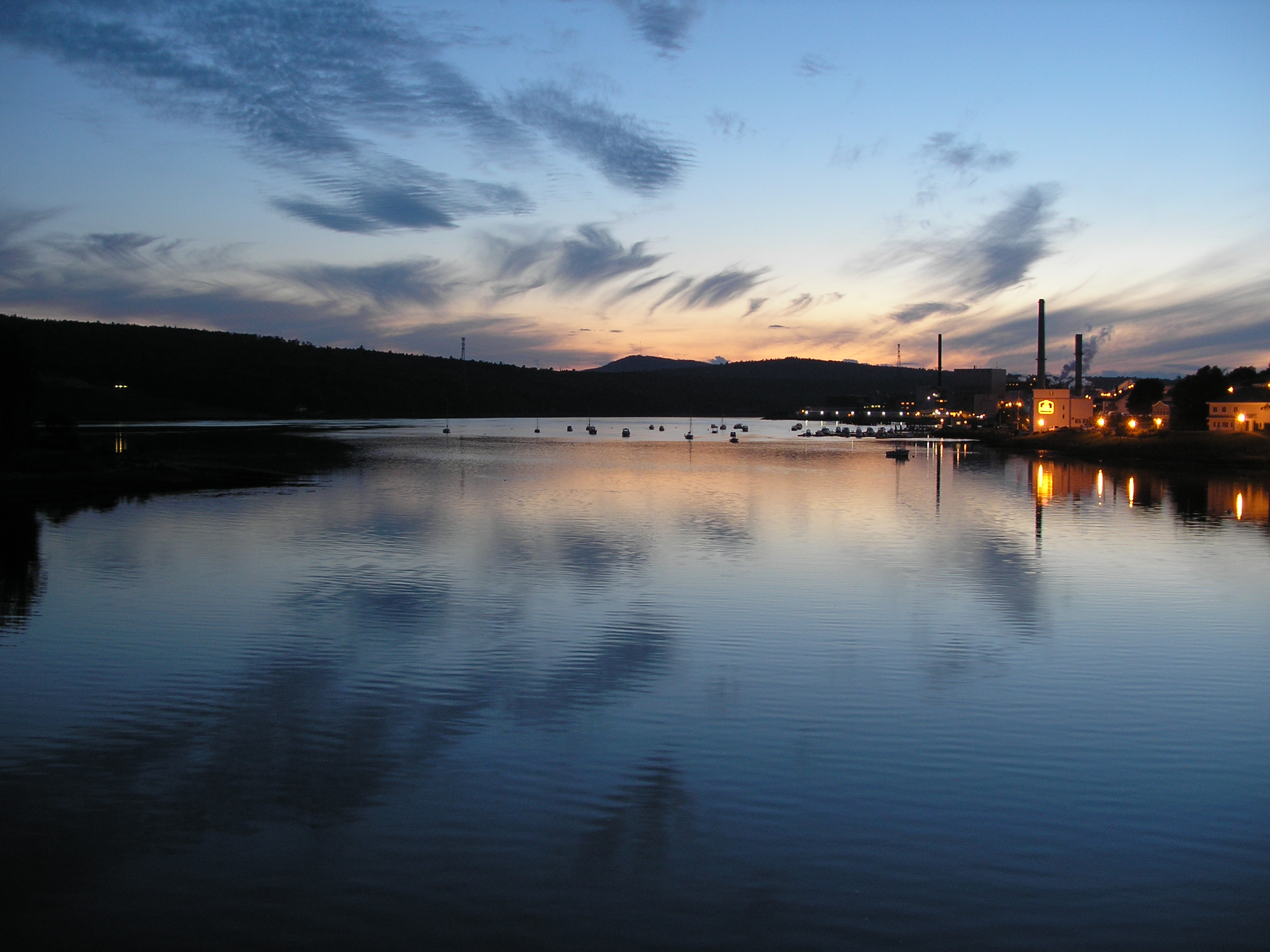
View of Bucksport Paper Mill

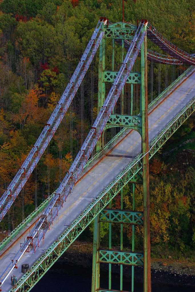
Bridge Downtown Blue Hill 3D cross view
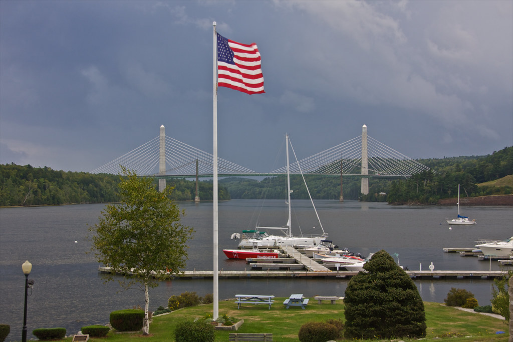
View Penobscot Narrows Bridge and Observatory
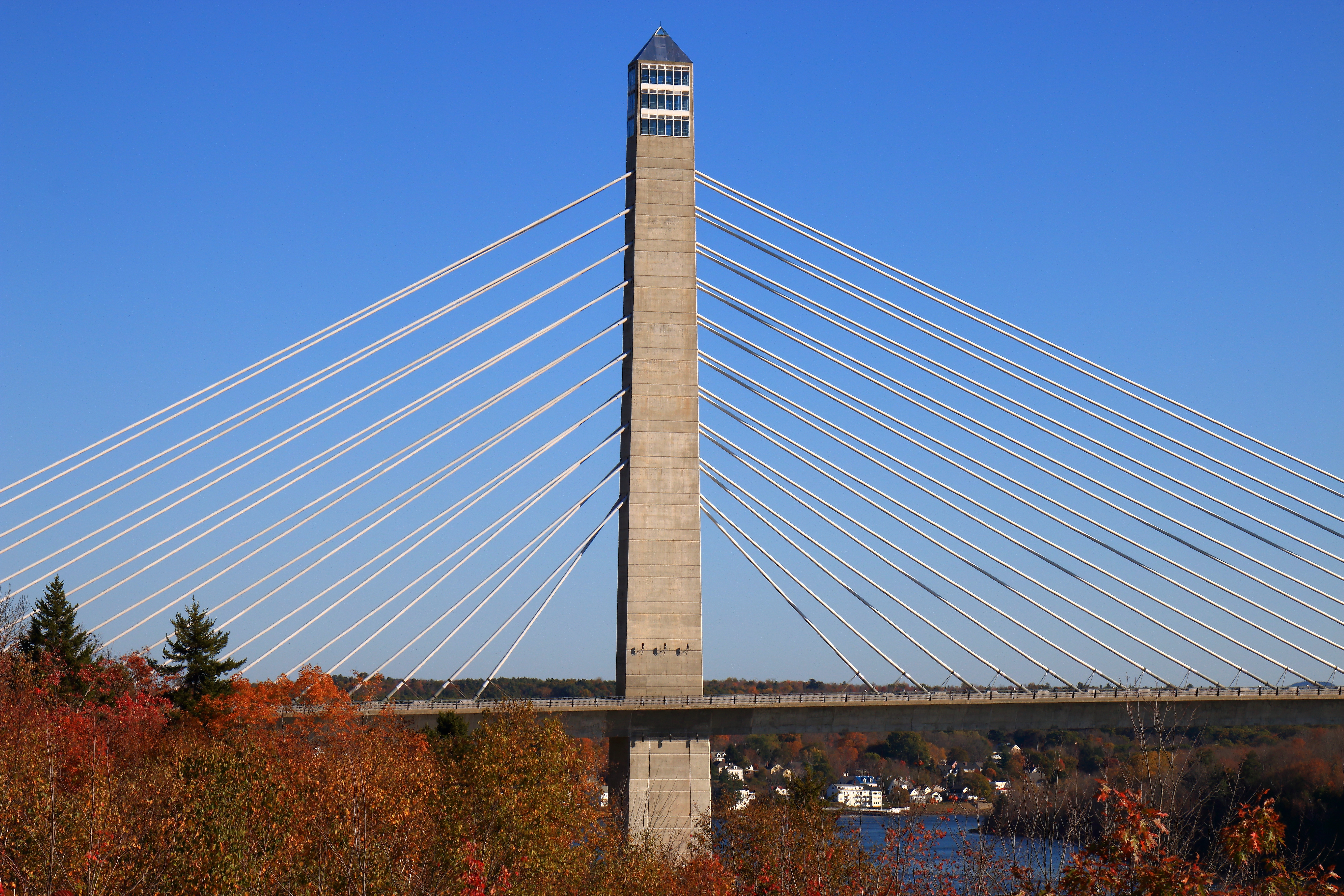
Penobscot Narrows Bridge Observatory, Prospect, ME
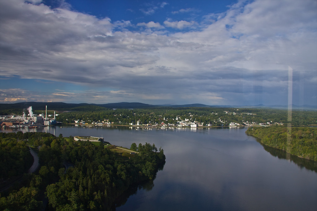
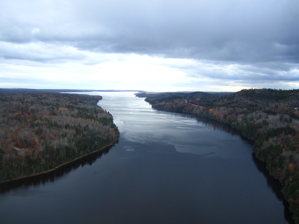
View of Bucksport
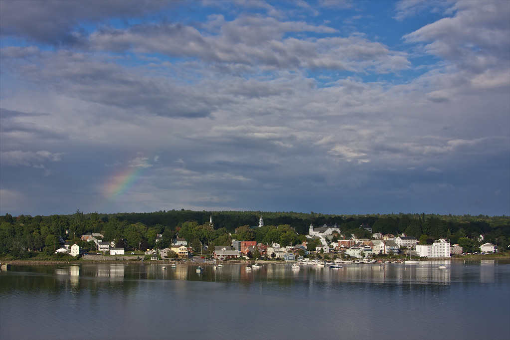
View of Bucksport
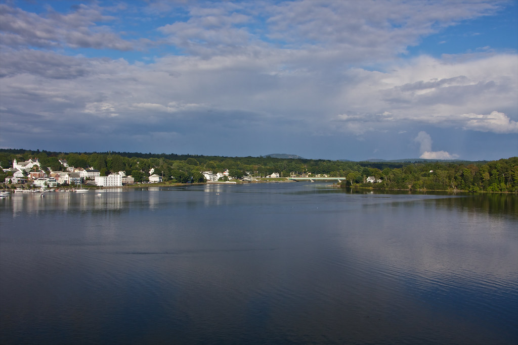
View of Bucksport

Burger at Harbor View Grille
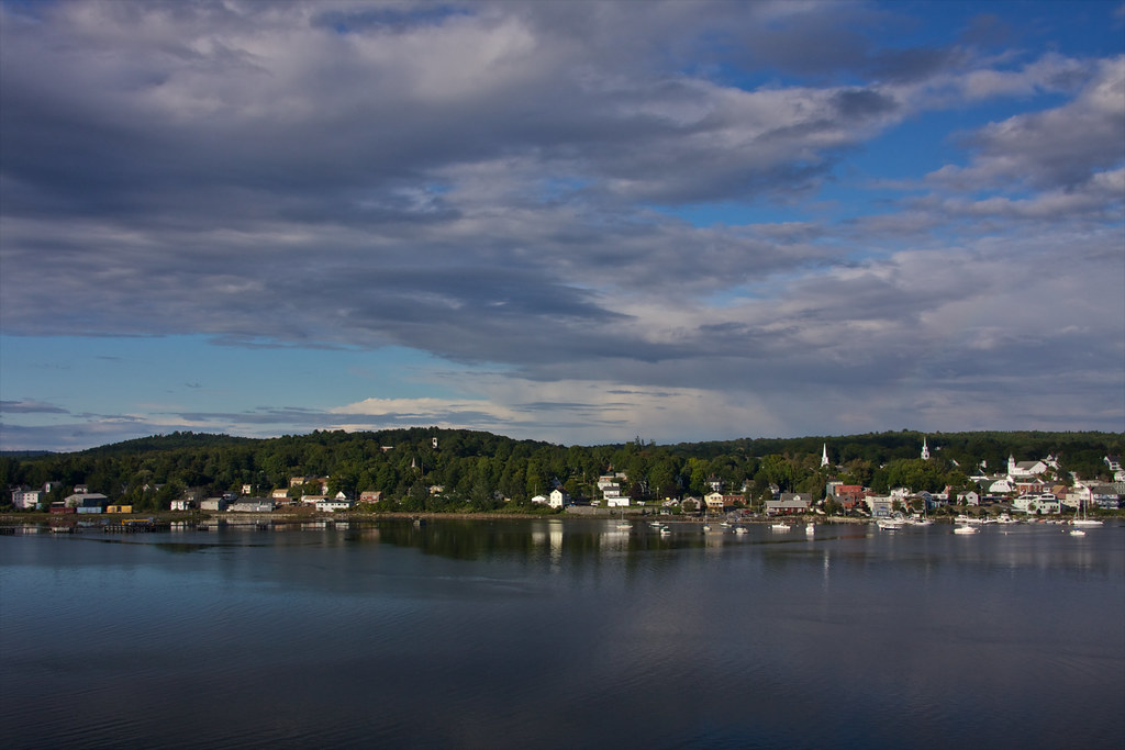
View of Bucksport
View from the Observatory
Observatory - 1
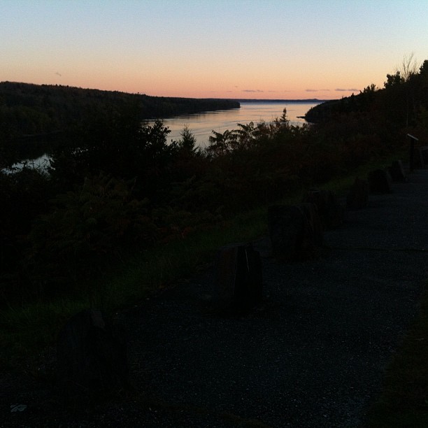
Same view - better sunset colors
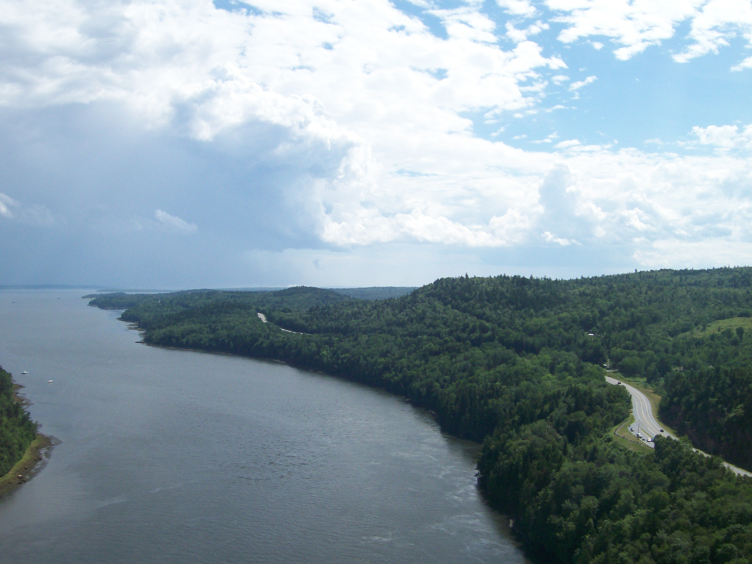
View from the Bucksport Bridge
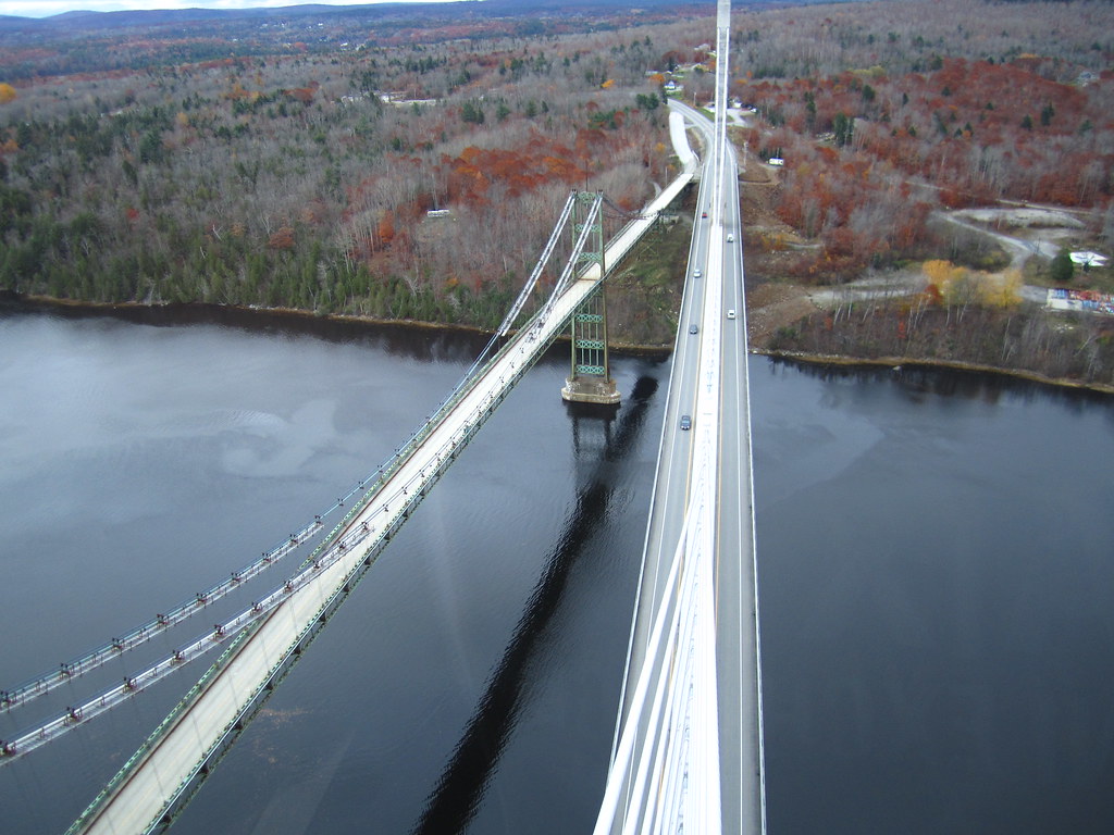
View from the Bucksport Bridge
View of Penobscot Narrows Bridge and Observatory
Room with a View
View from the Bucksport Bridge

View of Bucksport from the top
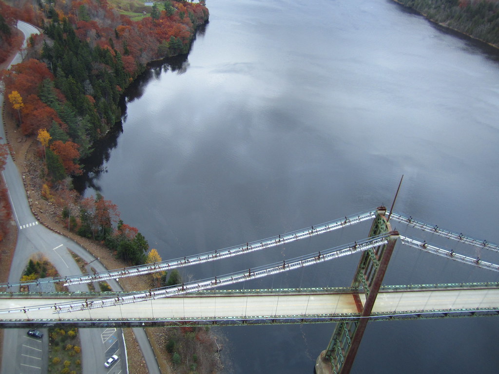
View from the Bucksport Bridge

DSC06919.jpg

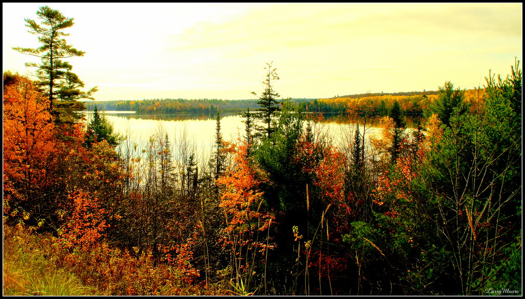
Rural Maine

Morgan Bay

DSC05583.jpg
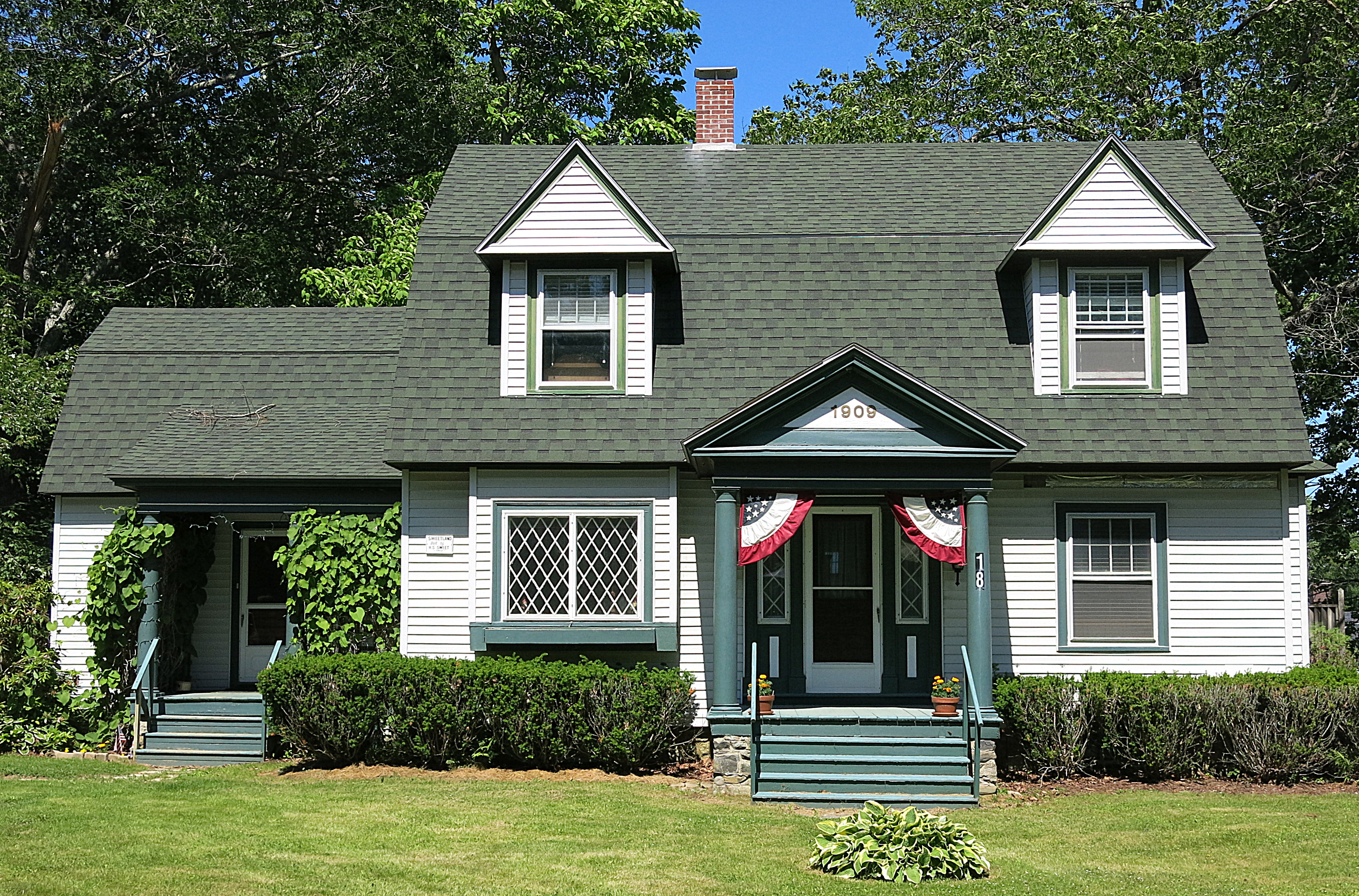
1909: A house in Blue Hill, Maine, USA

DSC05636.jpg

Patten Pond at night under a Full Moon
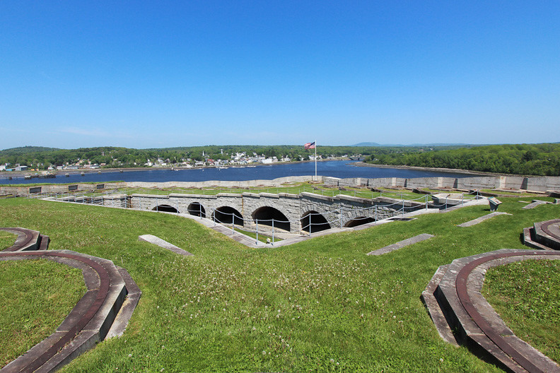
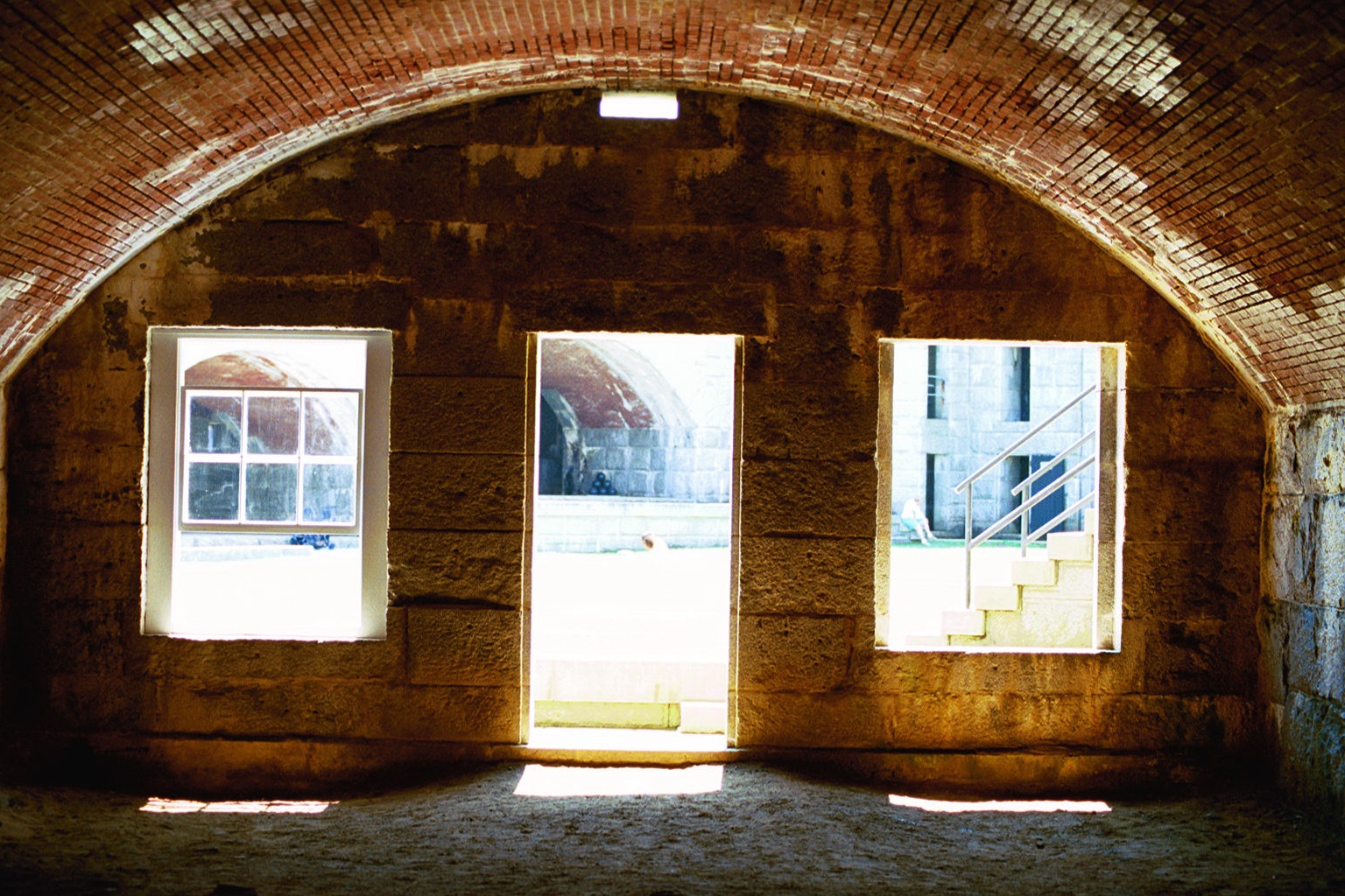
Fort Knox
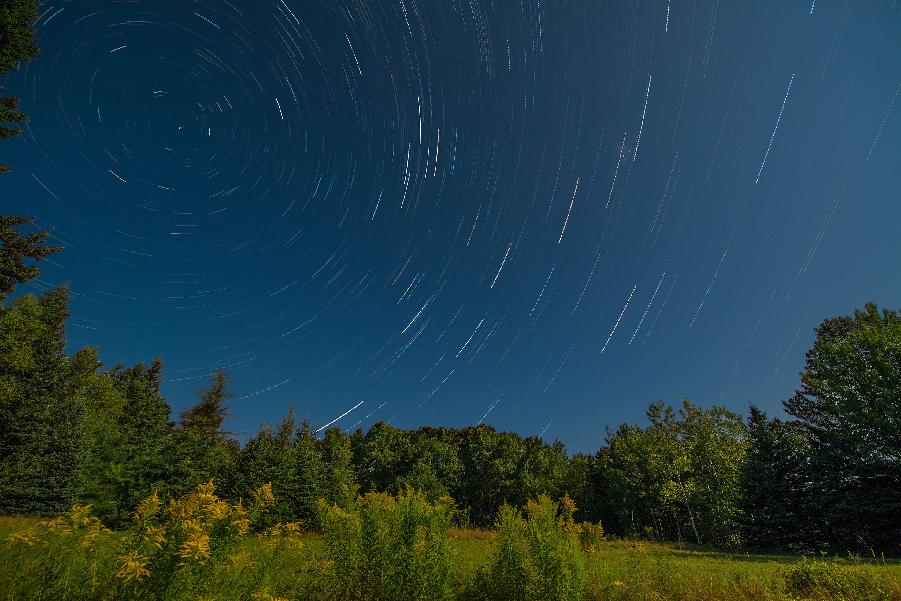
Star Trails in Maine
Breathtaking In Maine

Rainy sunrise
Hardened embankment below Fort Knox near Battery A

Some people say the sky is just the sky, but I say...
2006Jul Acadia part1 (28)
Penobscot Narrows bridge, Maine
Topographic Map of Gus Moore Road, Gus Moore Rd, Maine, USA
Find elevation by address:

Places near Gus Moore Road, Gus Moore Rd, Maine, USA:
15 Larch Ln
Toddy Pond
24 Pojananchuck Way
314 Back Ridge Rd
Back Ridge Road
770 Castine Rd
Orland
270 East Side Dr
1170 Castine Rd
Leaches Point Road
473 Leaches Point Rd
32 Leaches Point Rd
1136 Me-46
38 Strawberry Rd
178 East Side Dr
178 East Side Dr
178 East Side Dr
1598 Castine Rd
1598 Castine Rd
224 West Side Dr
Recent Searches:
- Elevation of Zimmer Trail, Pennsylvania, USA
- Elevation of 87 Kilmartin Ave, Bristol, CT, USA
- Elevation of Honghe National Nature Reserve, QP95+PJP, Tongjiang, Heilongjiang, Jiamusi, Heilongjiang, China
- Elevation of Hercules Dr, Colorado Springs, CO, USA
- Elevation of Szlak pieszy czarny, Poland
- Elevation of Griffing Blvd, Biscayne Park, FL, USA
- Elevation of Kreuzburger Weg 13, Düsseldorf, Germany
- Elevation of Gateway Blvd SE, Canton, OH, USA
- Elevation of East W.T. Harris Boulevard, E W.T. Harris Blvd, Charlotte, NC, USA
- Elevation of West Sugar Creek, Charlotte, NC, USA