Elevation of Gurez Valley, Forest Block
Location: Bandipora > Forest Block >
Longitude: 74.736633
Latitude: 34.6494398
Elevation: 2477m / 8127feet
Barometric Pressure: 75KPa
Elevation Map:
Satellite Map:
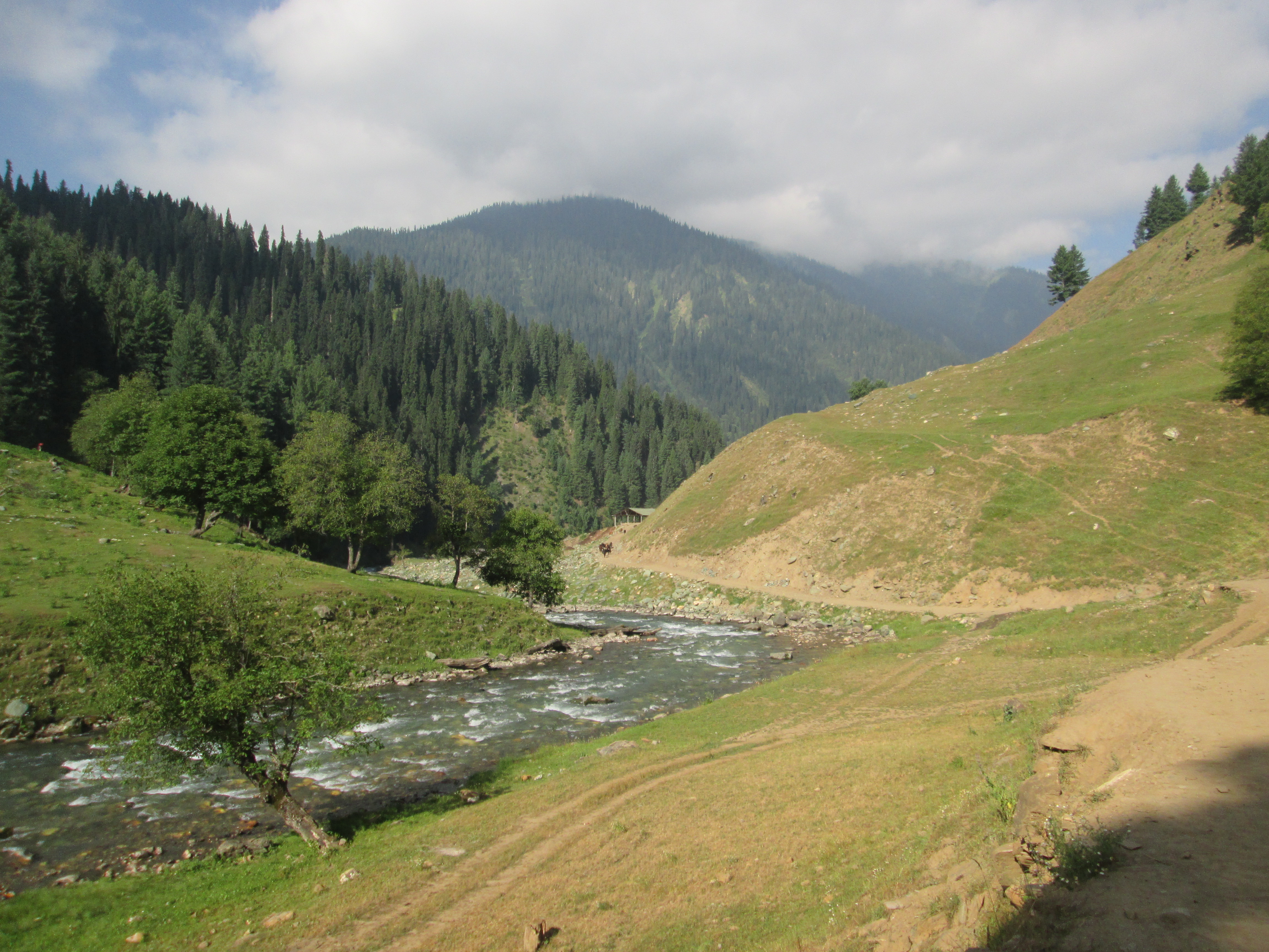
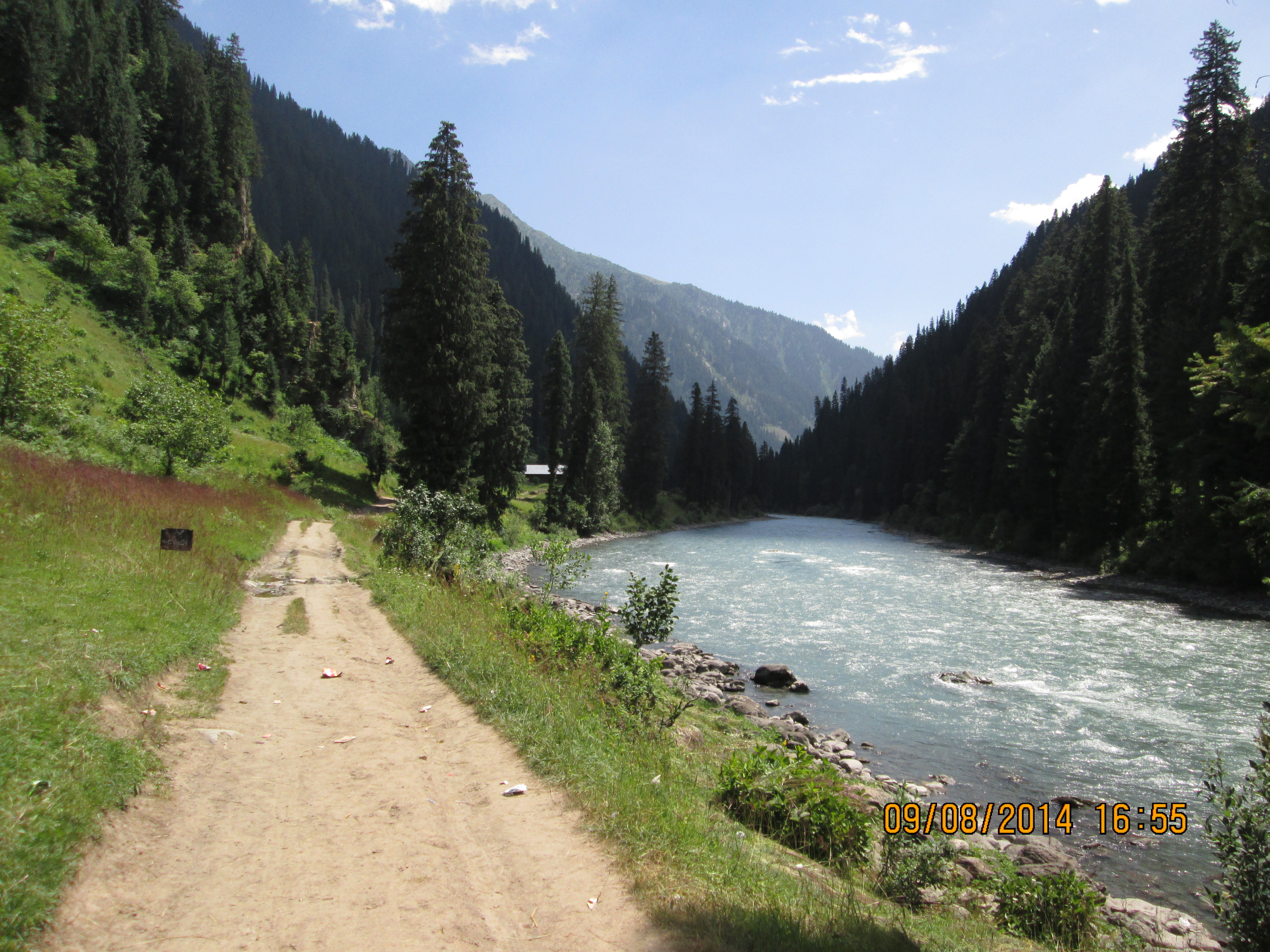
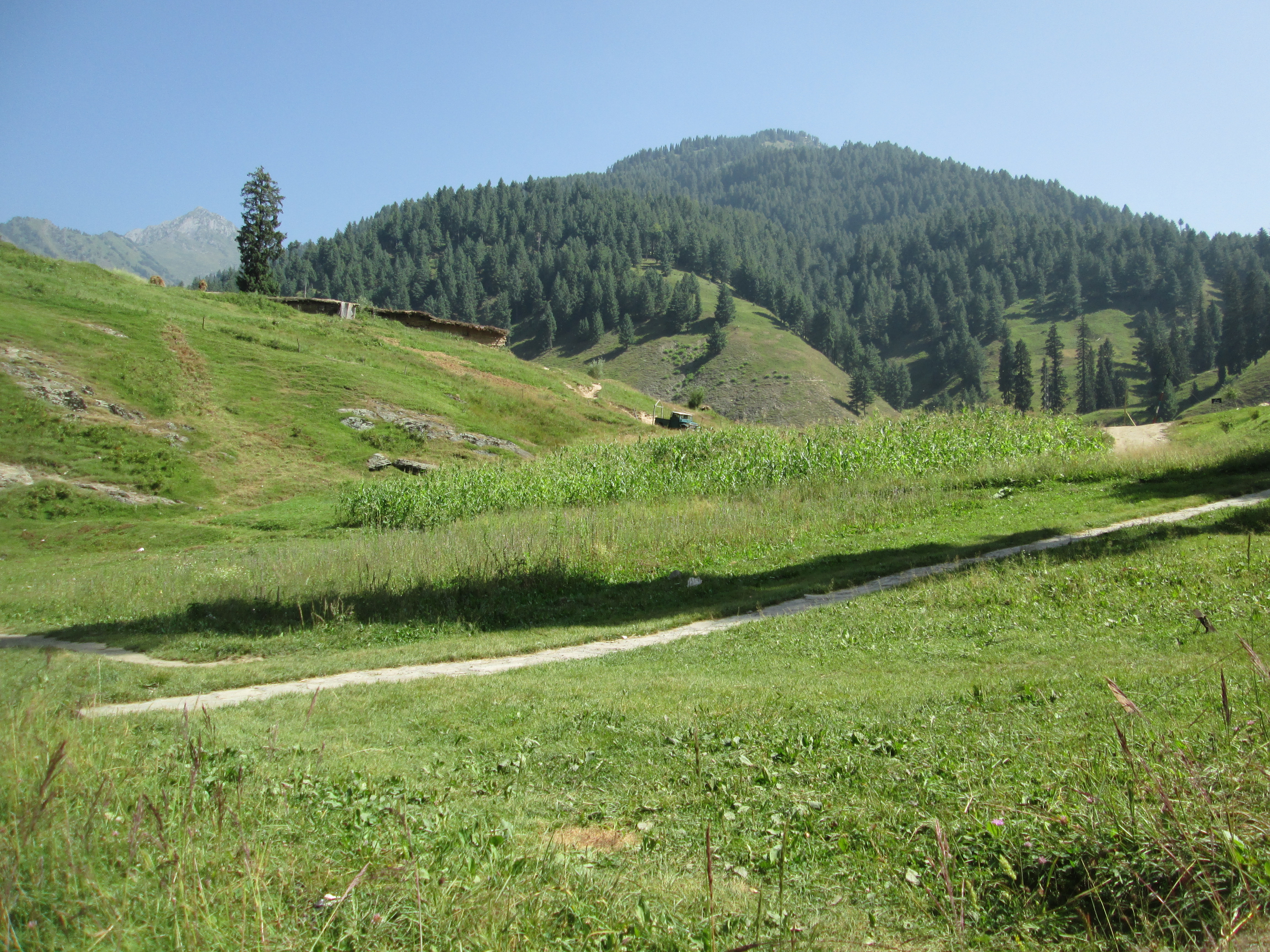
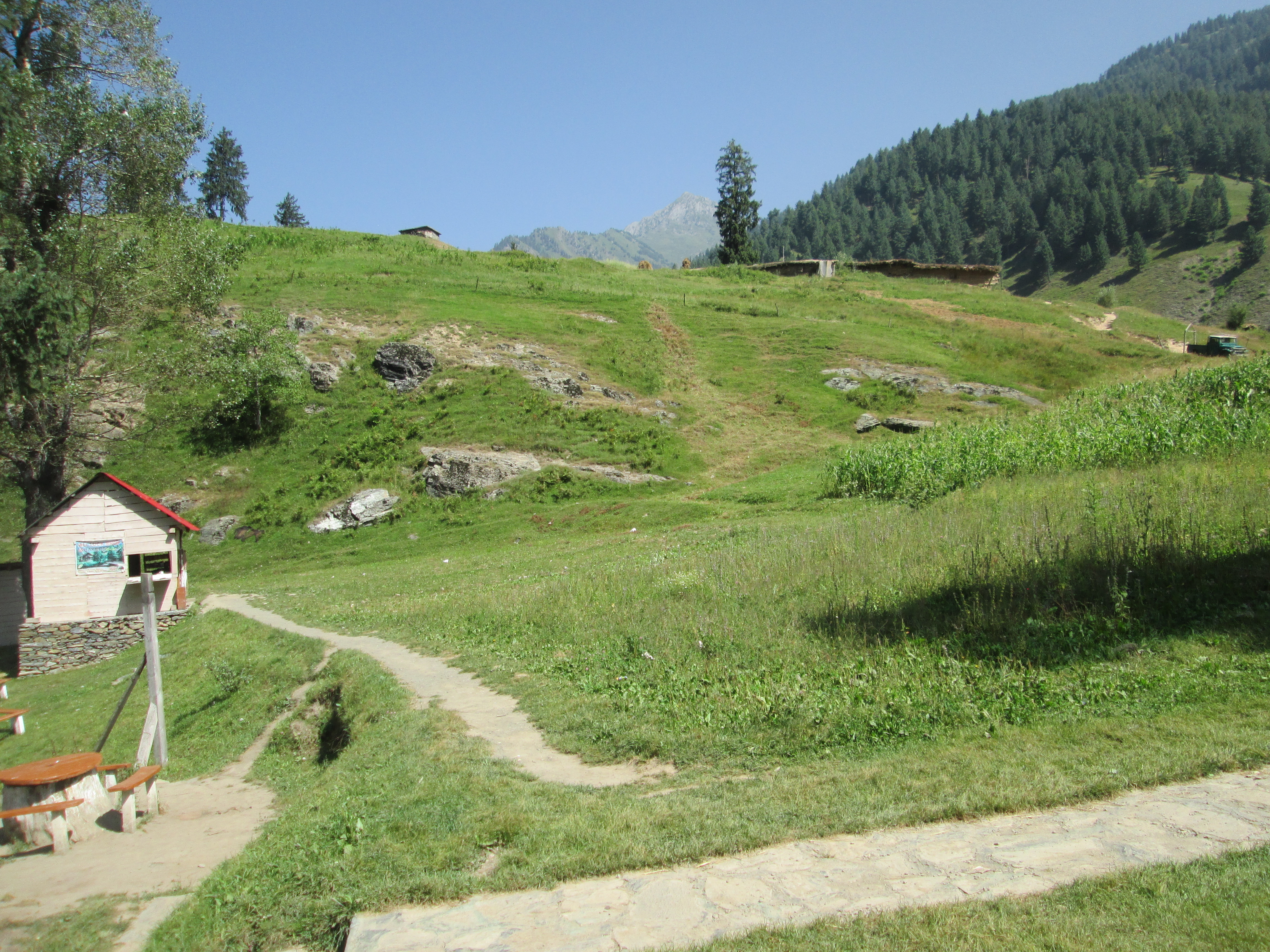
Related Photos:
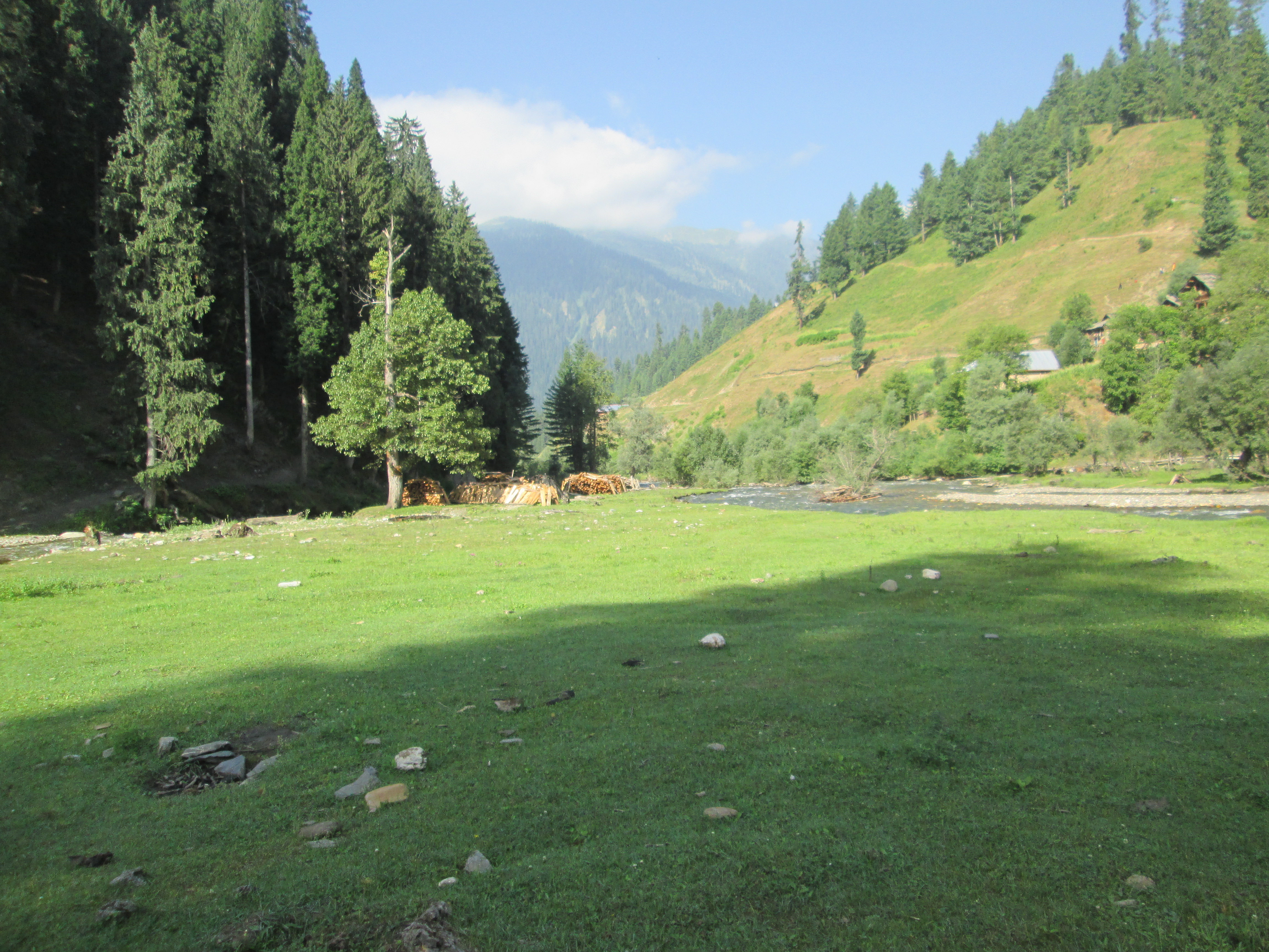
All Photos-244

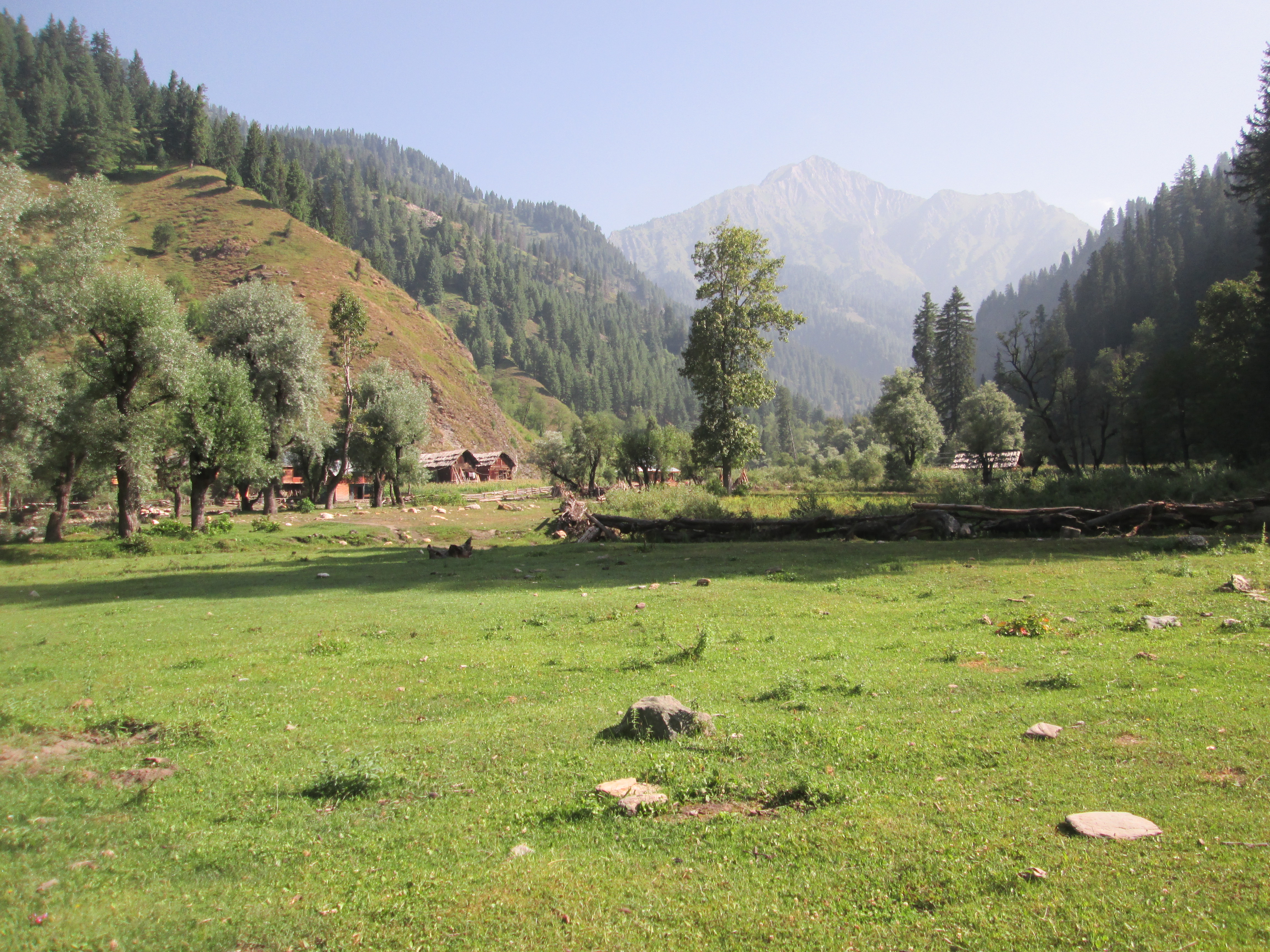
All Photos-229
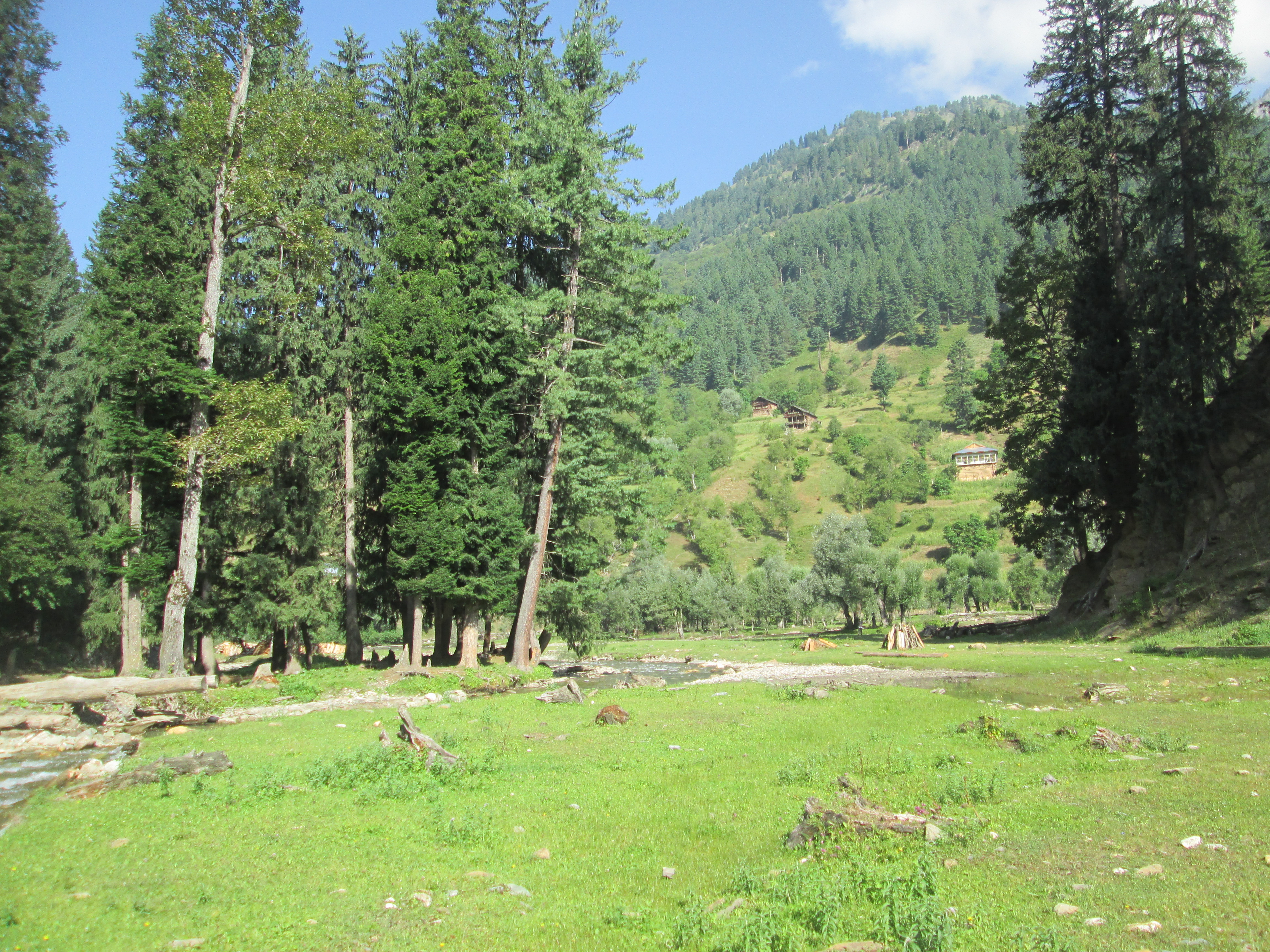
All Photos-226
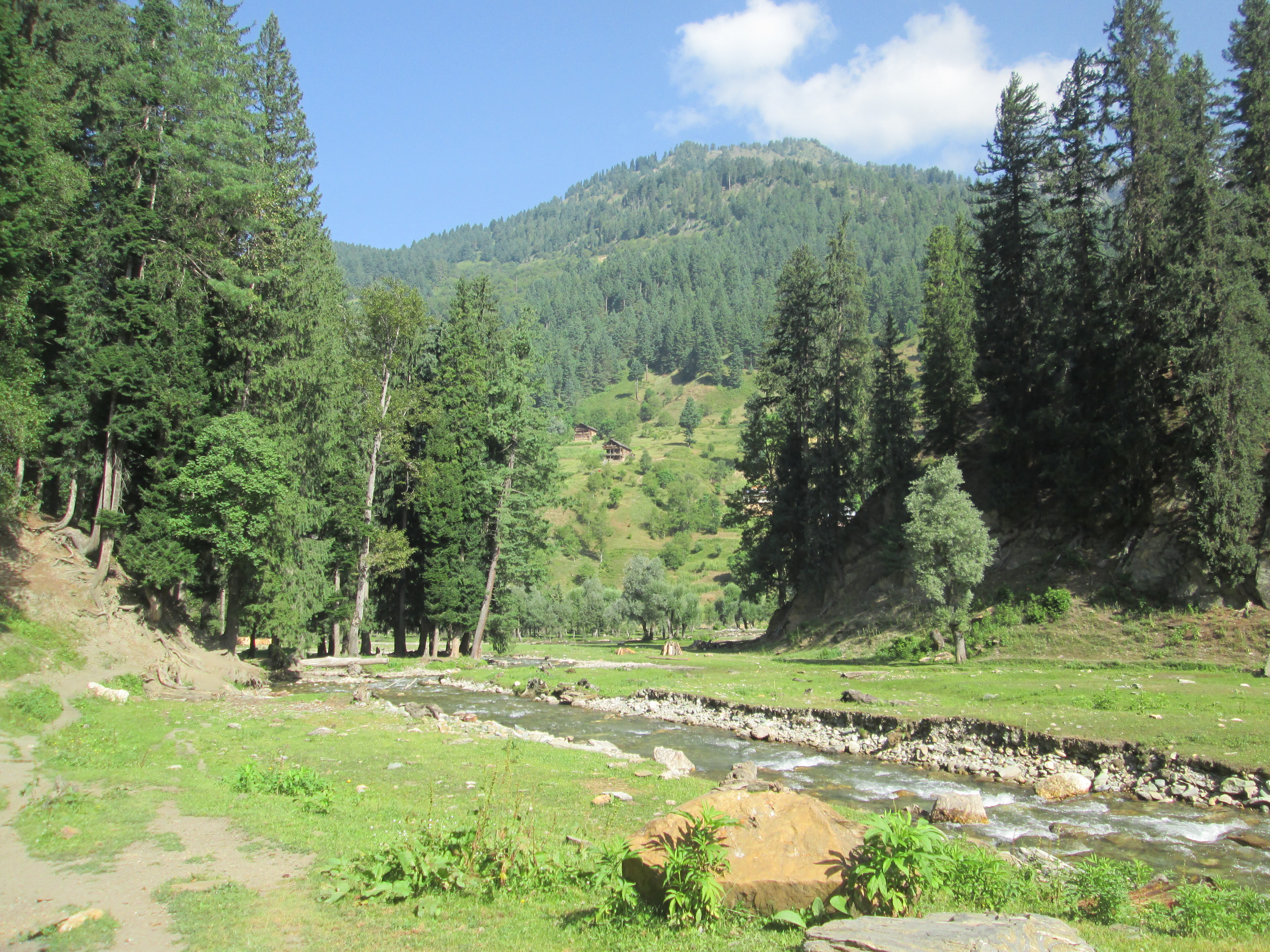
All Photos-230
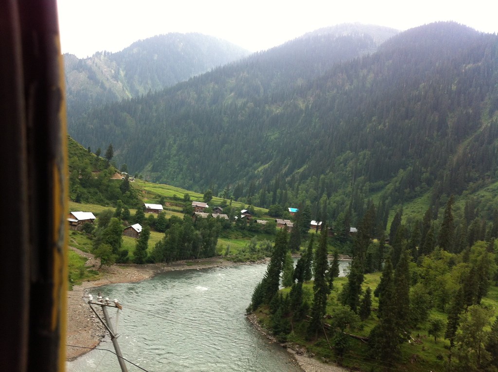
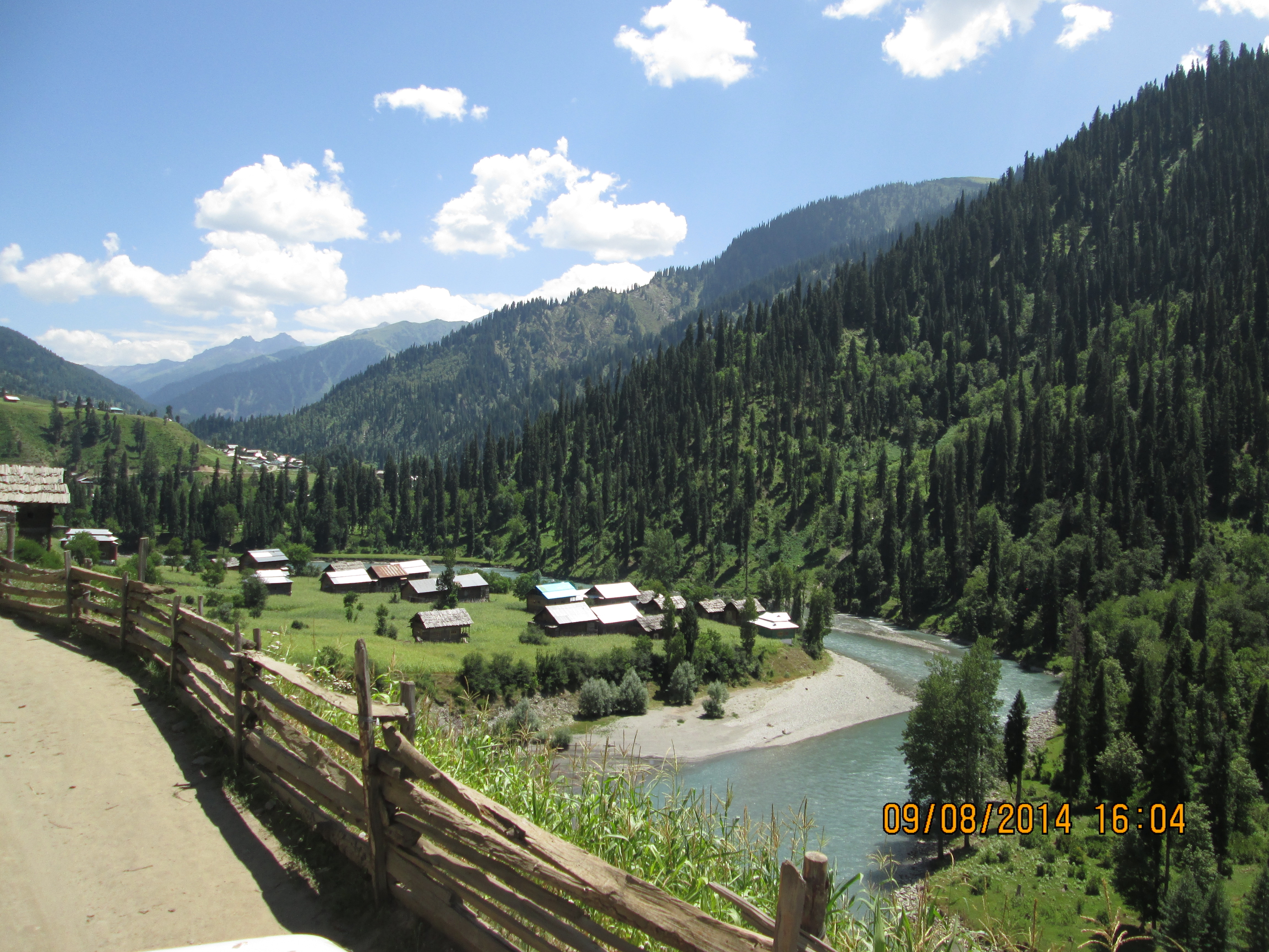
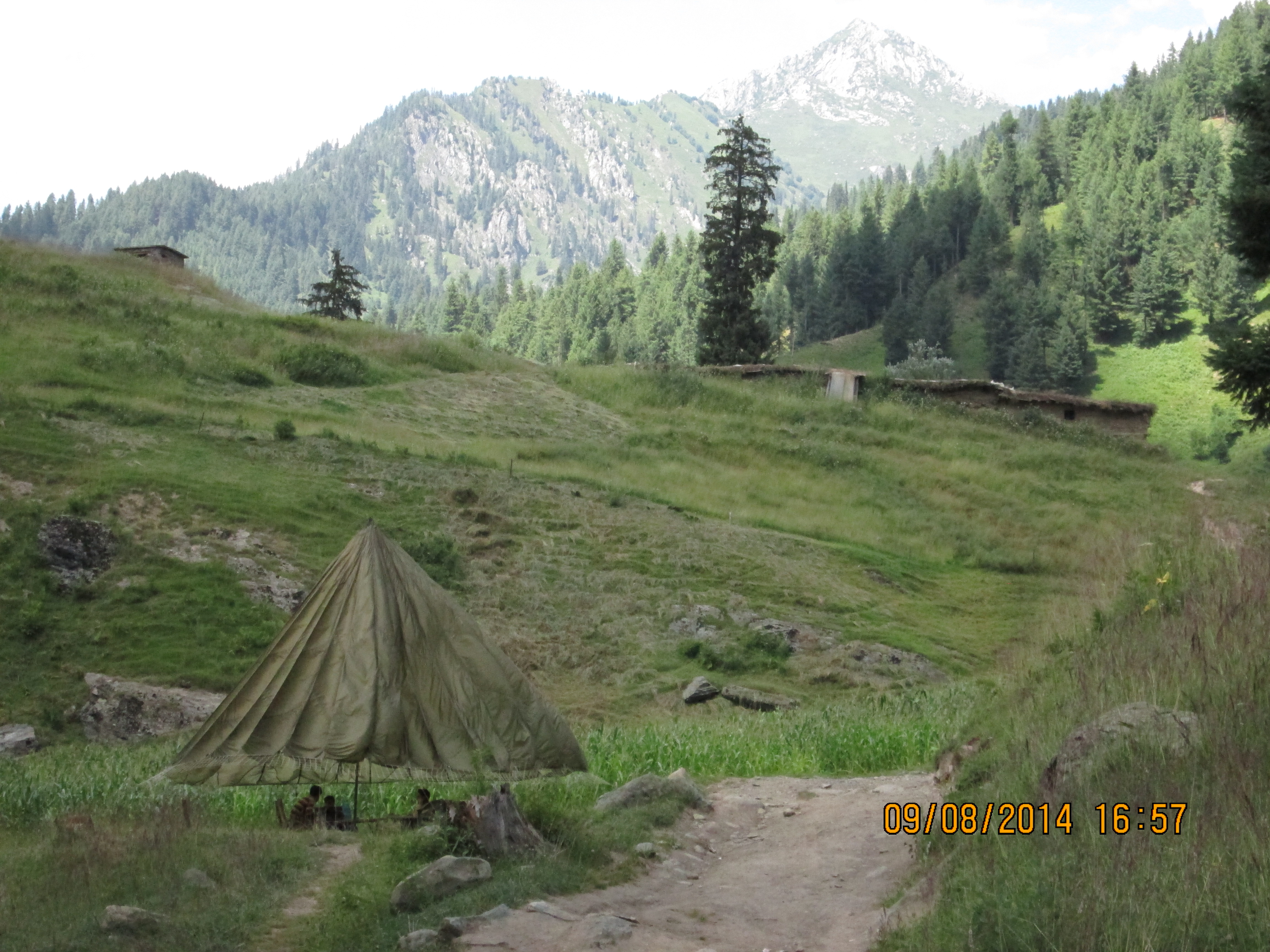
near helmit, gurez valley
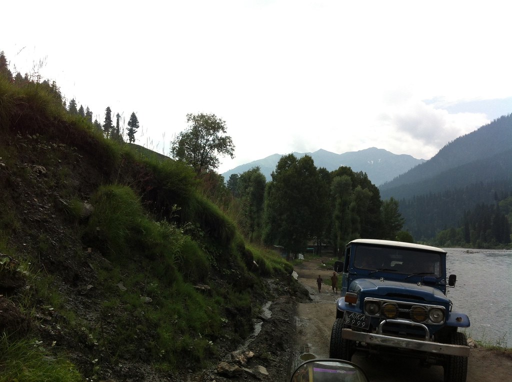
sardari, neelam
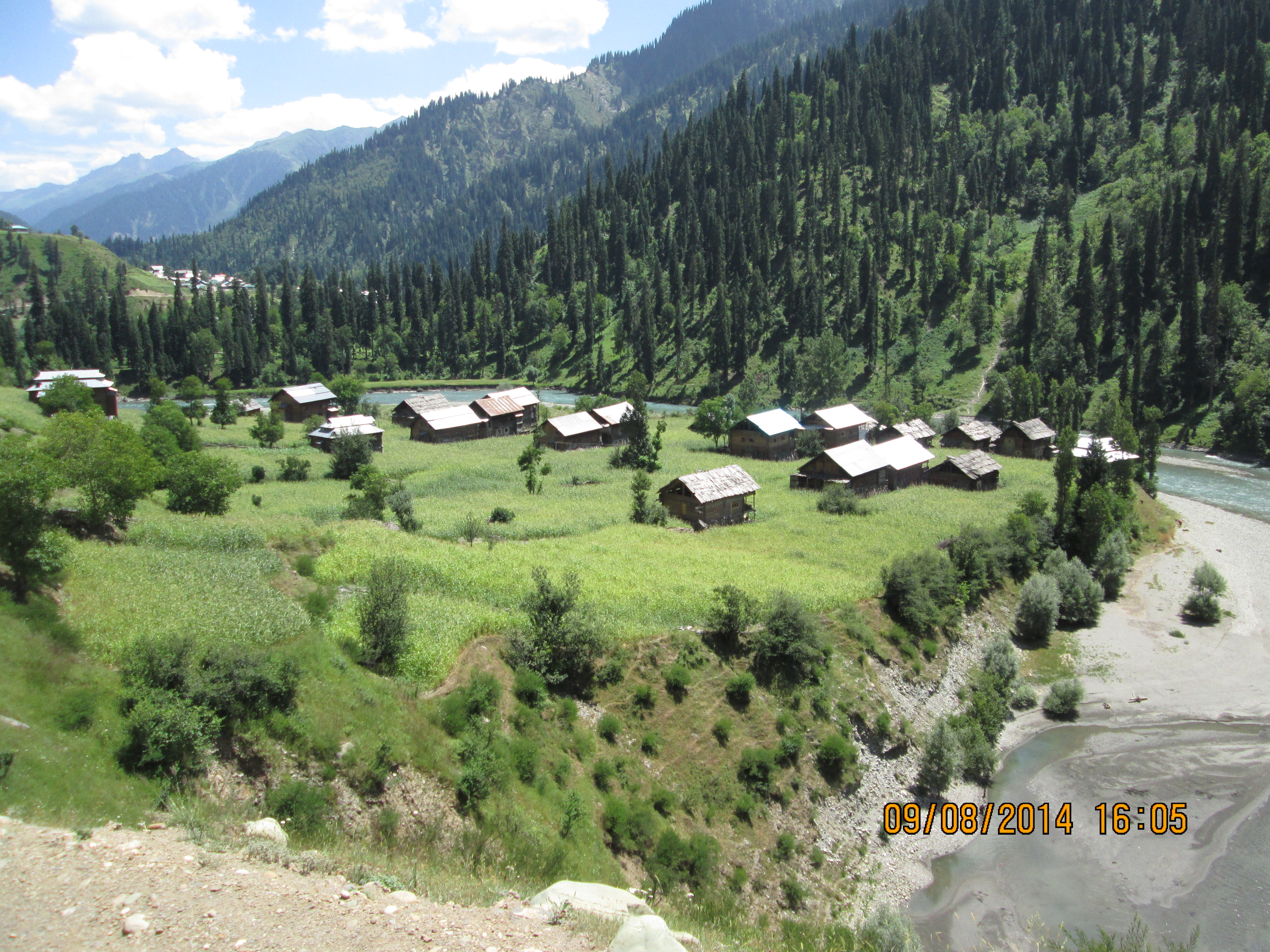
sardari, neelam
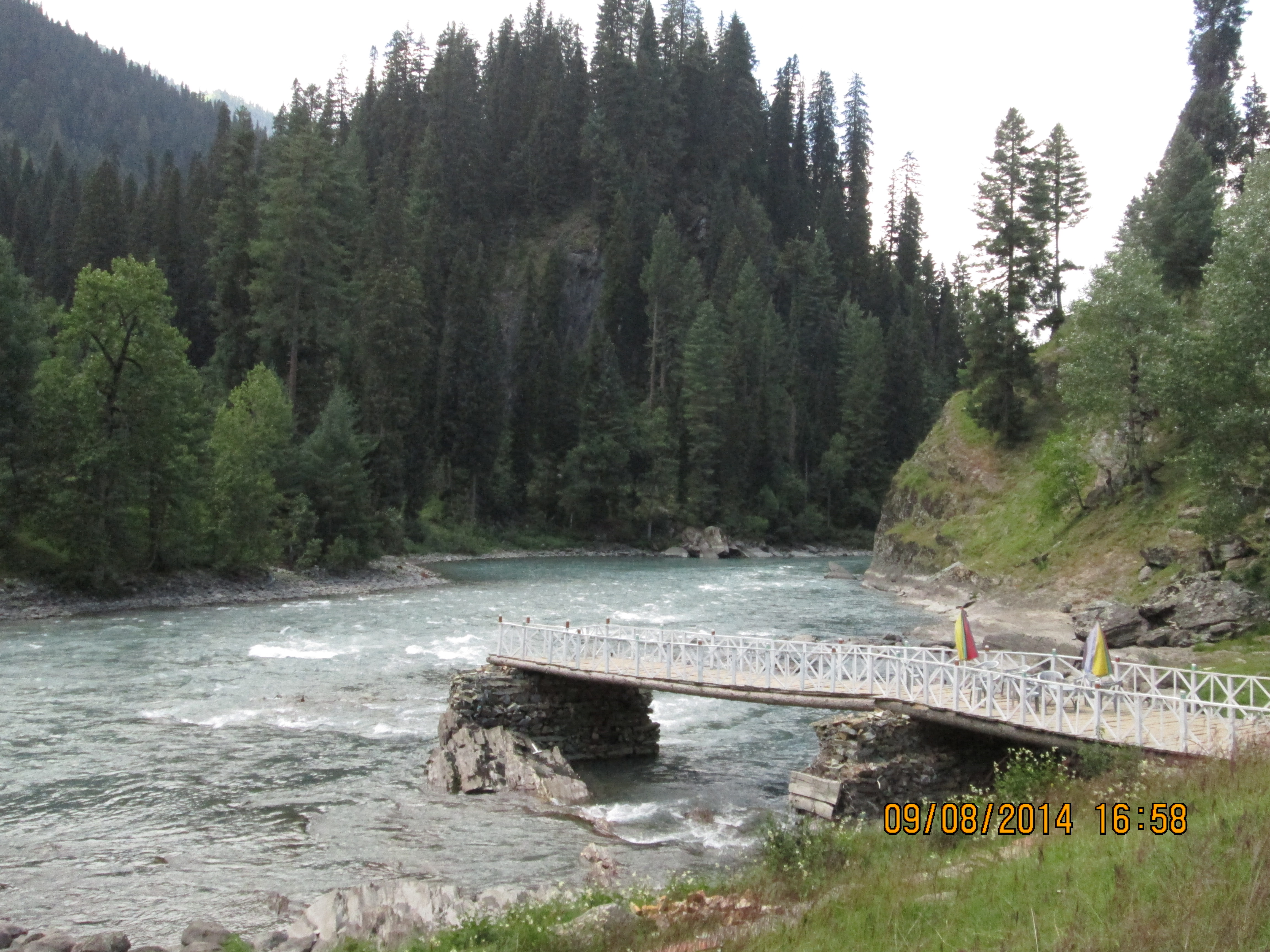
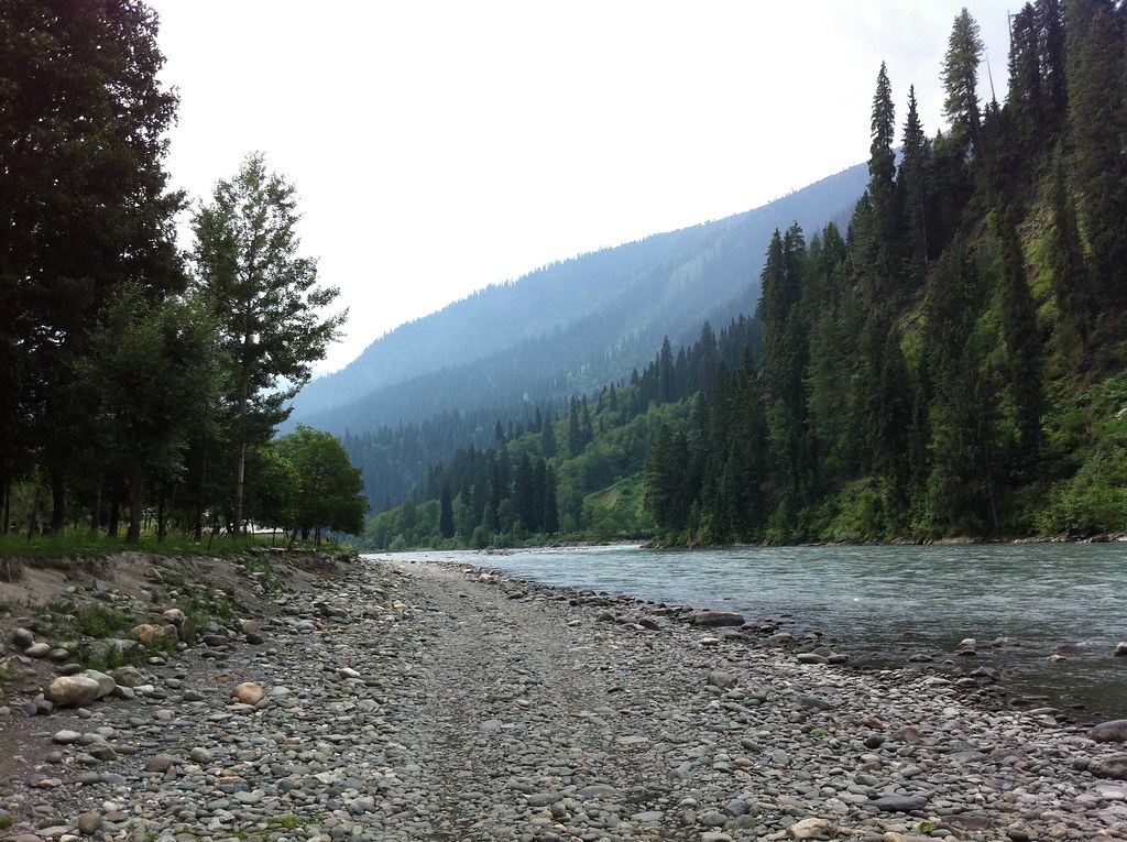
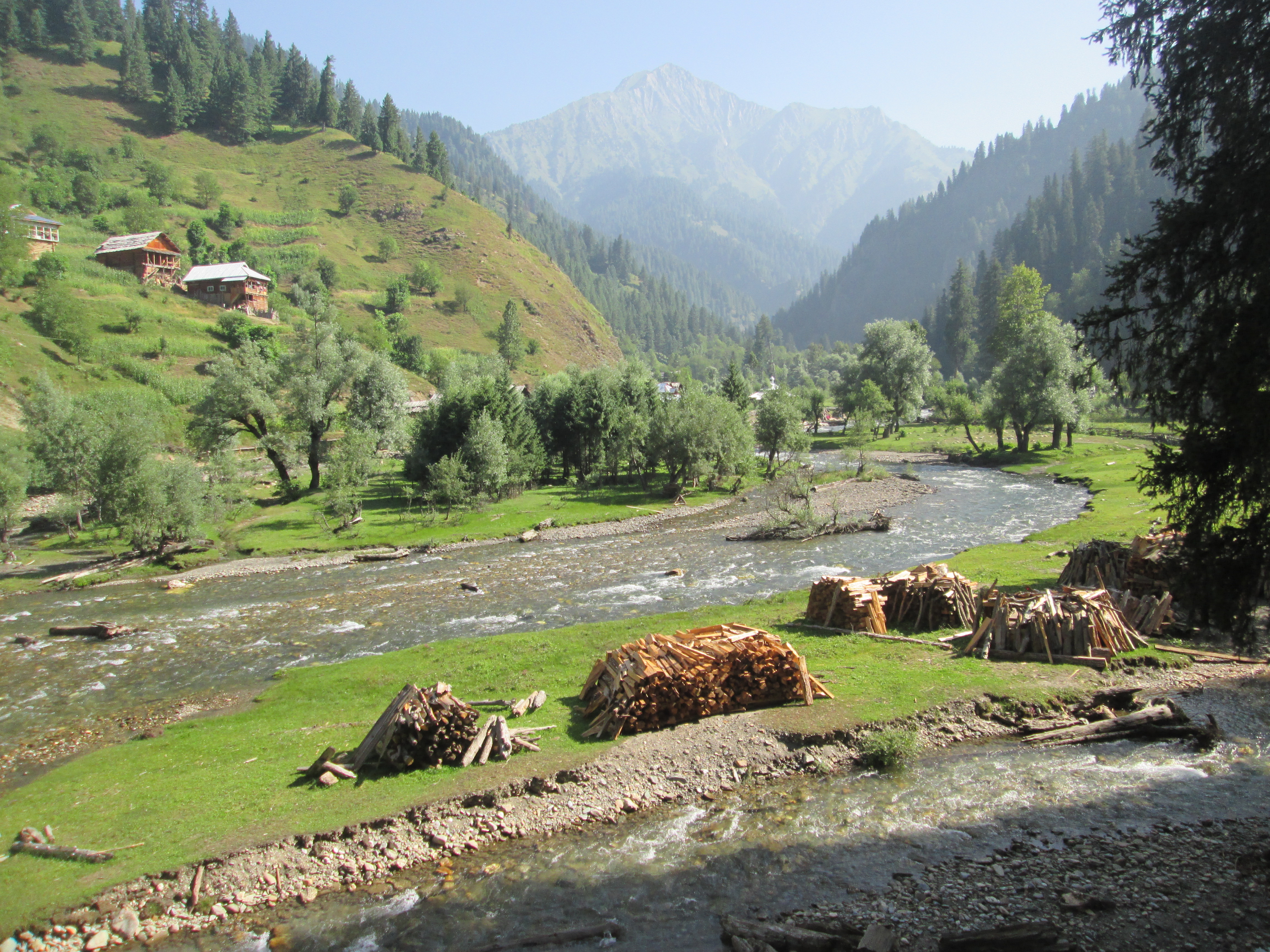
taubat, kashmir
taubat, kashmir
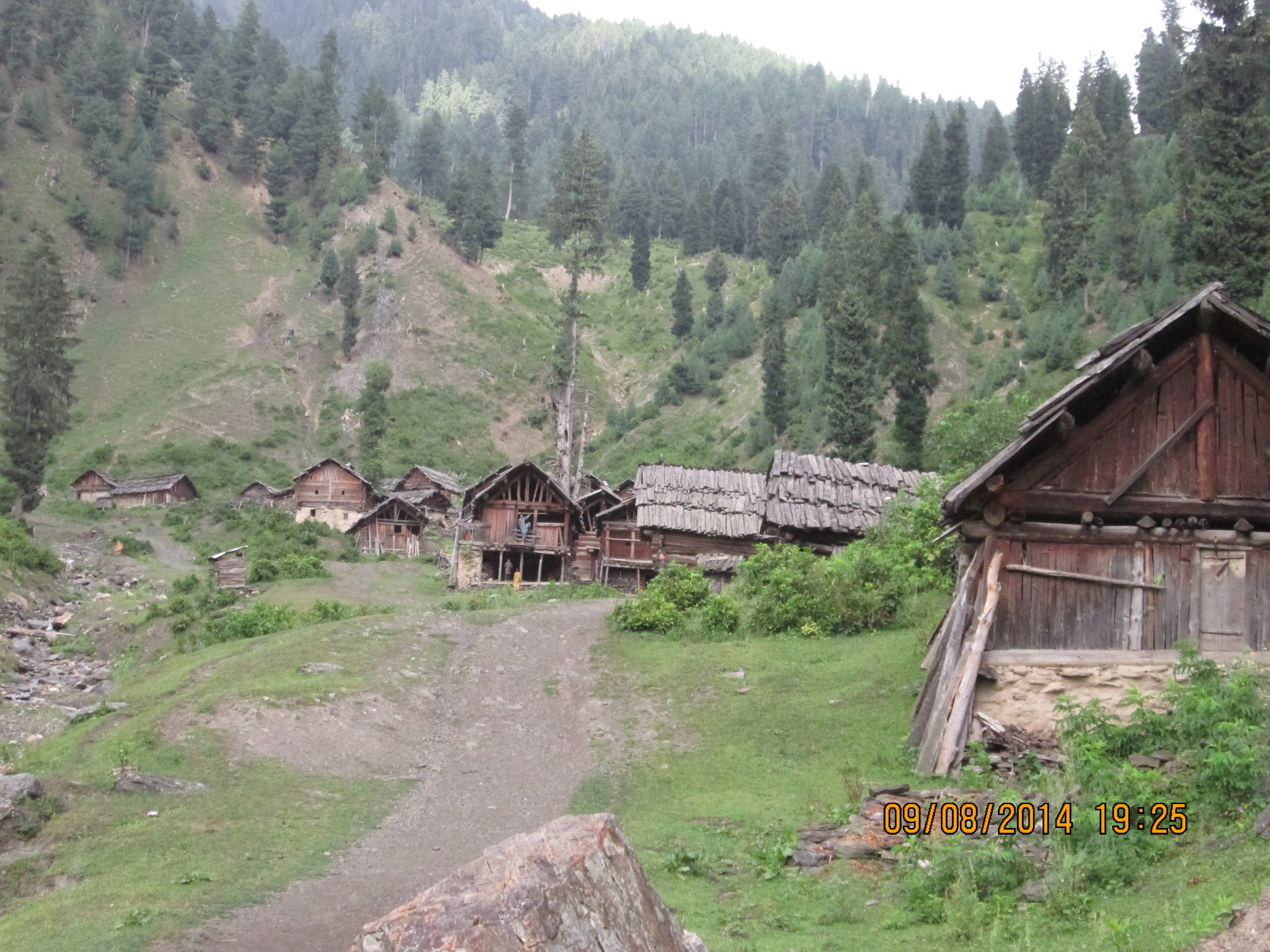
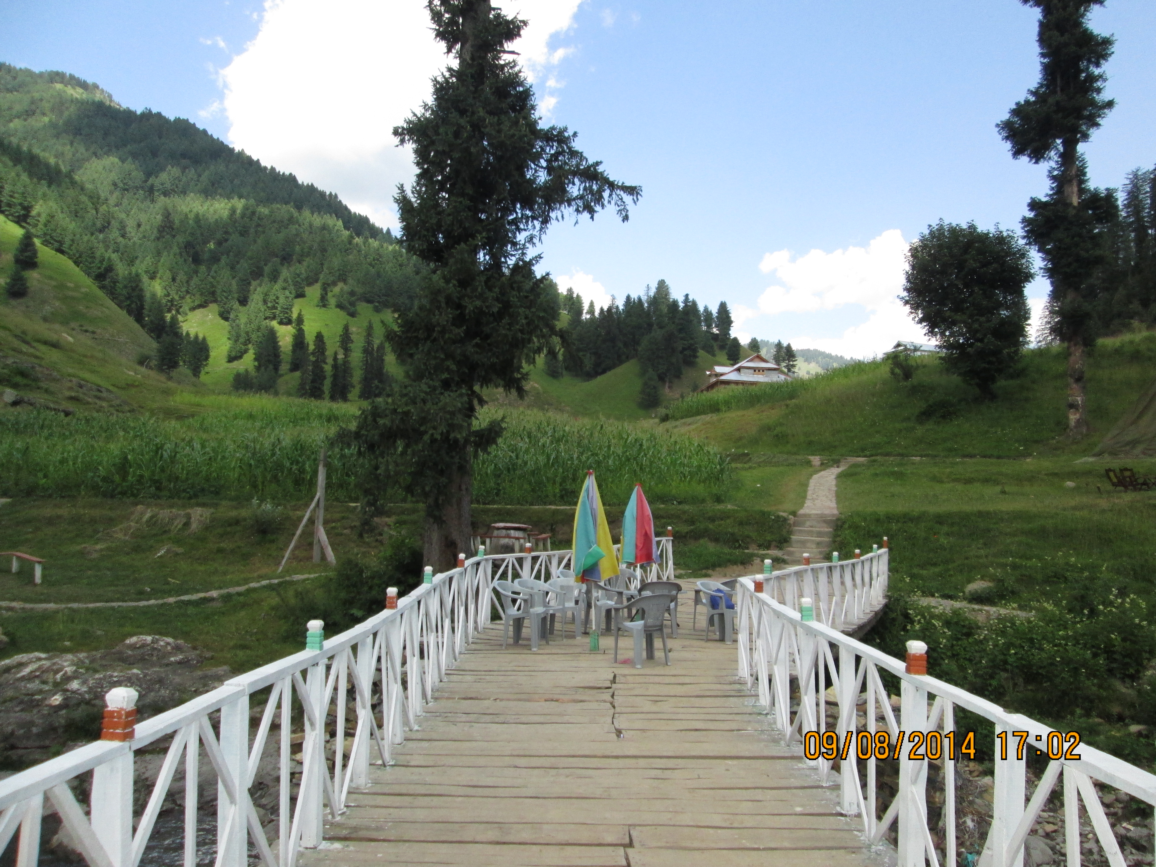
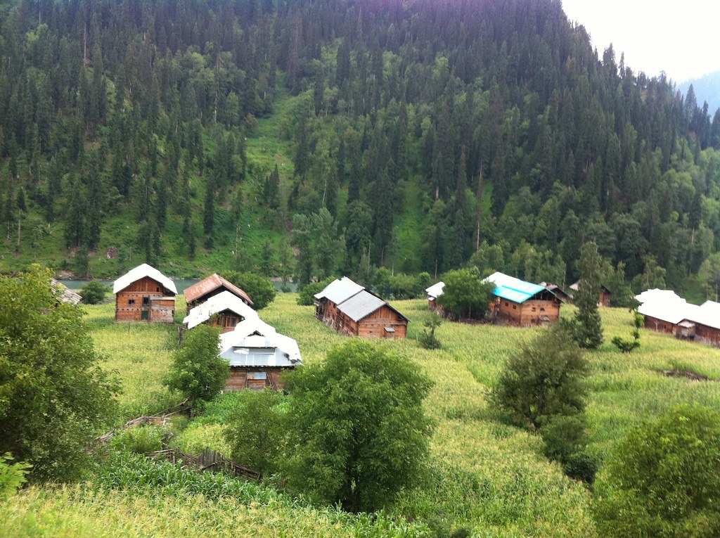
taubat ajk
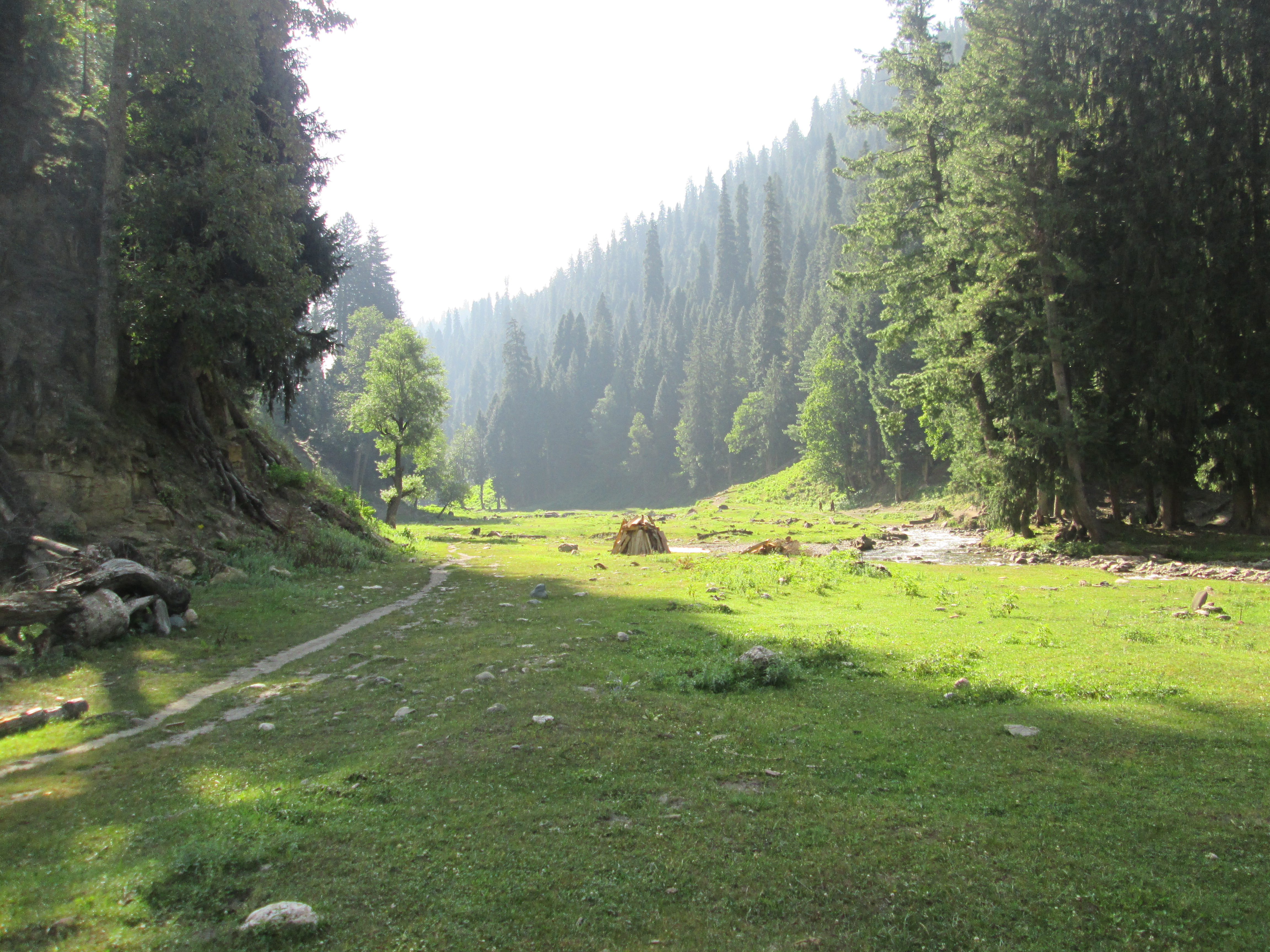
kishanganga, taubat
taubat, kashmir
taubat, ajk
taubat, ajk
taubat,kashmir
taubat,ajk, pakistan
All Photos-250
taubat, ajk, pakistan
taubat, ajk, pakistan
taubat, ajk, pakistan
taubat, ajk, pakistan
Topographic Map of Gurez Valley, Forest Block
Find elevation by address:

Places near Gurez Valley, Forest Block:
Taobat
Bandipora
Forest Block
Markazi Jamia Masjid Khayar
Lawaypora
Sumlar
Aaloosa
Post Office Aloosa Bandipora
Minimarg
Minimarg-domel Road
Shree Kheer Bhawani Durga Temple
Ganderbal
Burzil Pass
Rainbow Lake
Path Around Grave Yard
Ganderbal
Zakura
Soura
Harwan Road
Shalimar
Recent Searches:
- Elevation of Unnamed Road, Respublika Severnaya Osetiya — Alaniya, Russia
- Elevation of Verkhny Fiagdon, North Ossetia–Alania Republic, Russia
- Elevation of F. Viola Hiway, San Rafael, Bulacan, Philippines
- Elevation of Herbage Dr, Gulfport, MS, USA
- Elevation of Lilac Cir, Haldimand, ON N3W 2G9, Canada
- Elevation of Harrod Branch Road, Harrod Branch Rd, Kentucky, USA
- Elevation of Wyndham Grand Barbados Sam Lords Castle All Inclusive Resort, End of Belair Road, Long Bay, Bridgetown Barbados
- Elevation of Iga Trl, Maggie Valley, NC, USA
- Elevation of N Co Rd 31D, Loveland, CO, USA
- Elevation of Lindever Ln, Palmetto, FL, USA