Elevation of Gupis
Longitude: 73.442093
Latitude: 36.227409
Elevation: 2206m / 7238feet
Barometric Pressure: 77KPa
Elevation Map:
Satellite Map:
Related Photos:

Khalti Lake from PTDC, Jandrot.
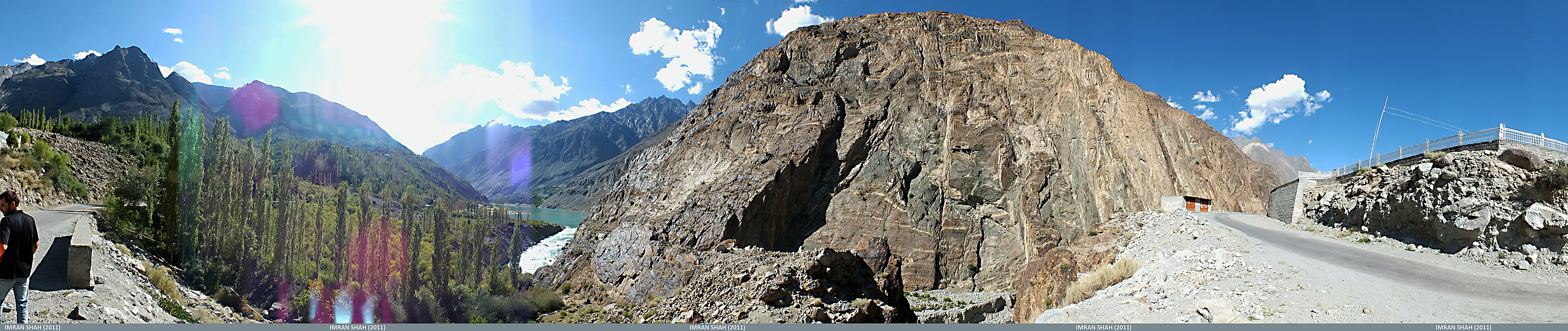
Junction of Ghizer and Yasin Valley
Khalti Lake, Ghizer

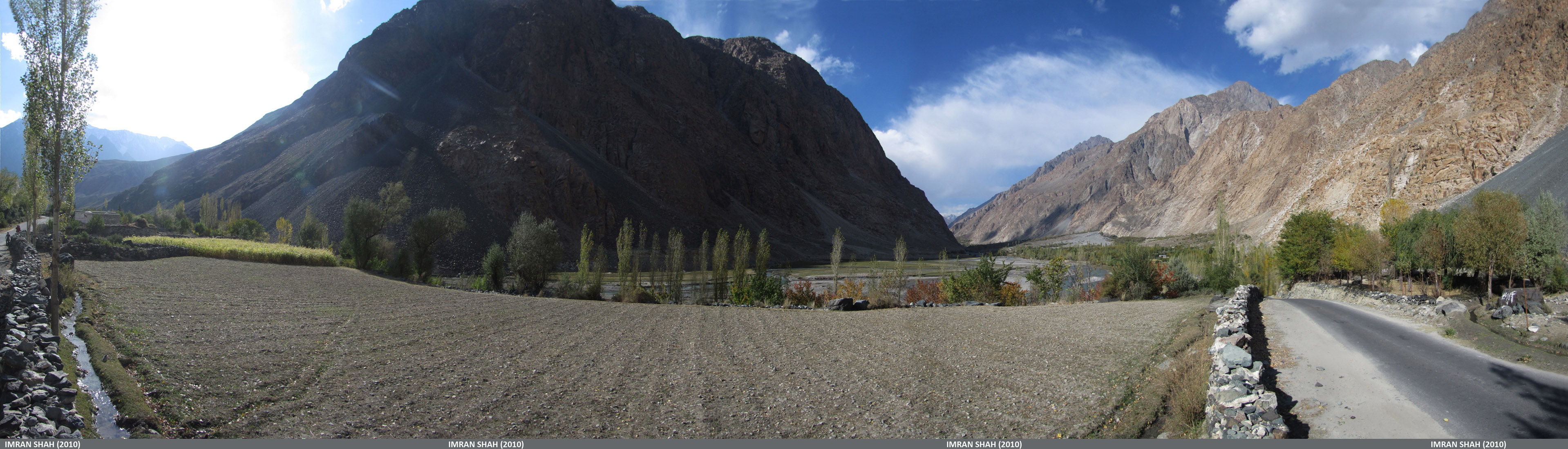
A small sattlement near Gupis

Khalti Lake, Ghizer

Pak_067 Yasin to Shandur
Entering Yasin Valley
Somewhere in front of Sandhi, Yasin

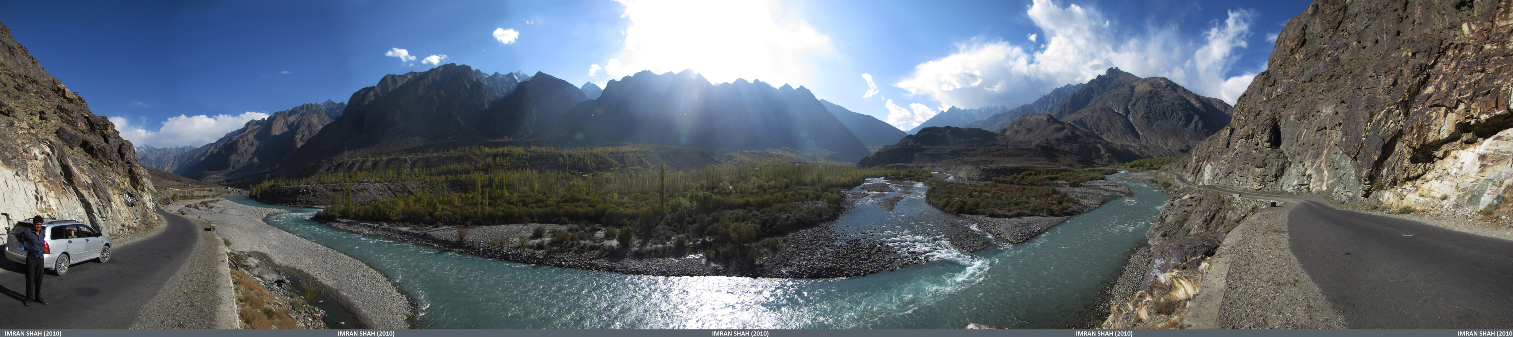
Gilgit River

Ghizer/Gilgit River
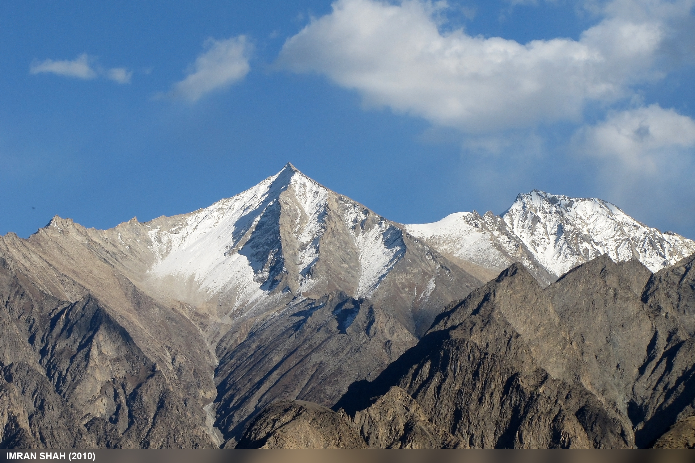
Random Mountains

Khalti Lake and Village
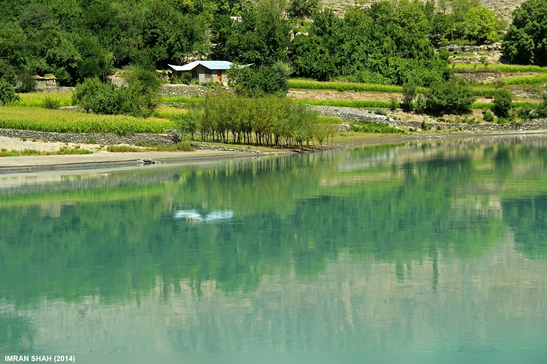
Khalti Lake and Village
Topographic Map of Gupis
Find elevation by address:

Places near Gupis:
Gilgit River
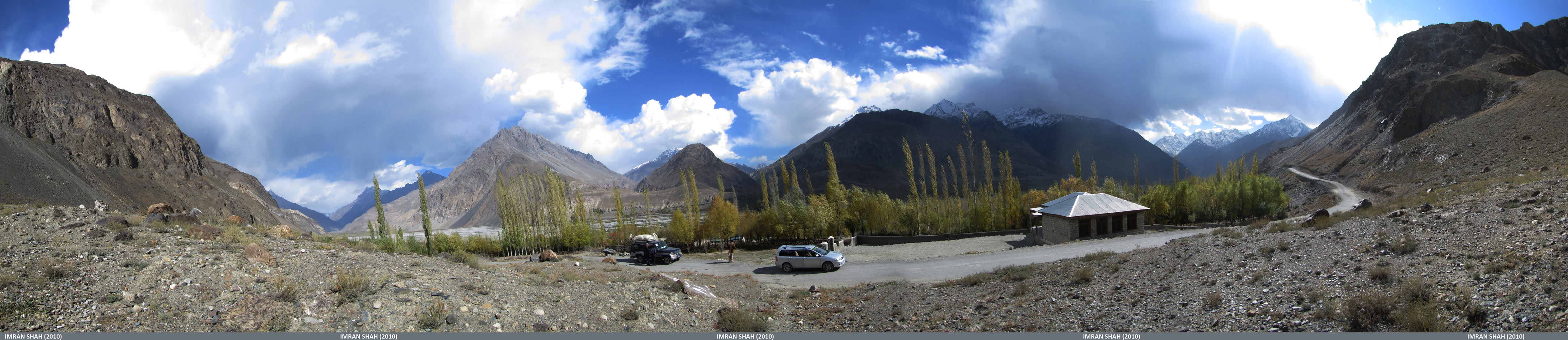
Ptdc Motel Gupis
Khalti Lake
Ghizar
Yasin Valley
Makuli Yasin Valley
Ghizer River
Gahkuch
Umalsat
Chatorkhand
Ishkoman
Sherqilla
Naltar Lake
Naltar Lake 4
Naltar Valley
Chari Khand
Kohistan
Kandia Valley Bridge
Nomal Valley
Dassu
Recent Searches:
- Elevation of Leyte Industrial Development Estate, Isabel, Leyte, Philippines
- Elevation of W Granada St, Tampa, FL, USA
- Elevation of Pykes Down, Ivybridge PL21 0BY, UK
- Elevation of Jalan Senandin, Lutong, Miri, Sarawak, Malaysia
- Elevation of Bilohirs'k
- Elevation of 30 Oak Lawn Dr, Barkhamsted, CT, USA
- Elevation of Luther Road, Luther Rd, Auburn, CA, USA
- Elevation of Unnamed Road, Respublika Severnaya Osetiya — Alaniya, Russia
- Elevation of Verkhny Fiagdon, North Ossetia–Alania Republic, Russia
- Elevation of F. Viola Hiway, San Rafael, Bulacan, Philippines