Elevation of Gunters Lake Rd, Galivants Ferry, SC, USA
Location: United States > South Carolina > Horry County > Galivants Ferry >
Longitude: -79.314523
Latitude: 33.950806
Elevation: 19m / 62feet
Barometric Pressure: 101KPa
Elevation Map:
Satellite Map:
Related Photos:

I have a great bit of money on hand, but looking to spend 200 on a cool pair of shoes size 8. Tigers, rulons (except red!), old adidas, Kolats. Hmu
May 29 2017 - Mr T - John Tarmey copy
Flower South Carolina

Bee on a flower SC
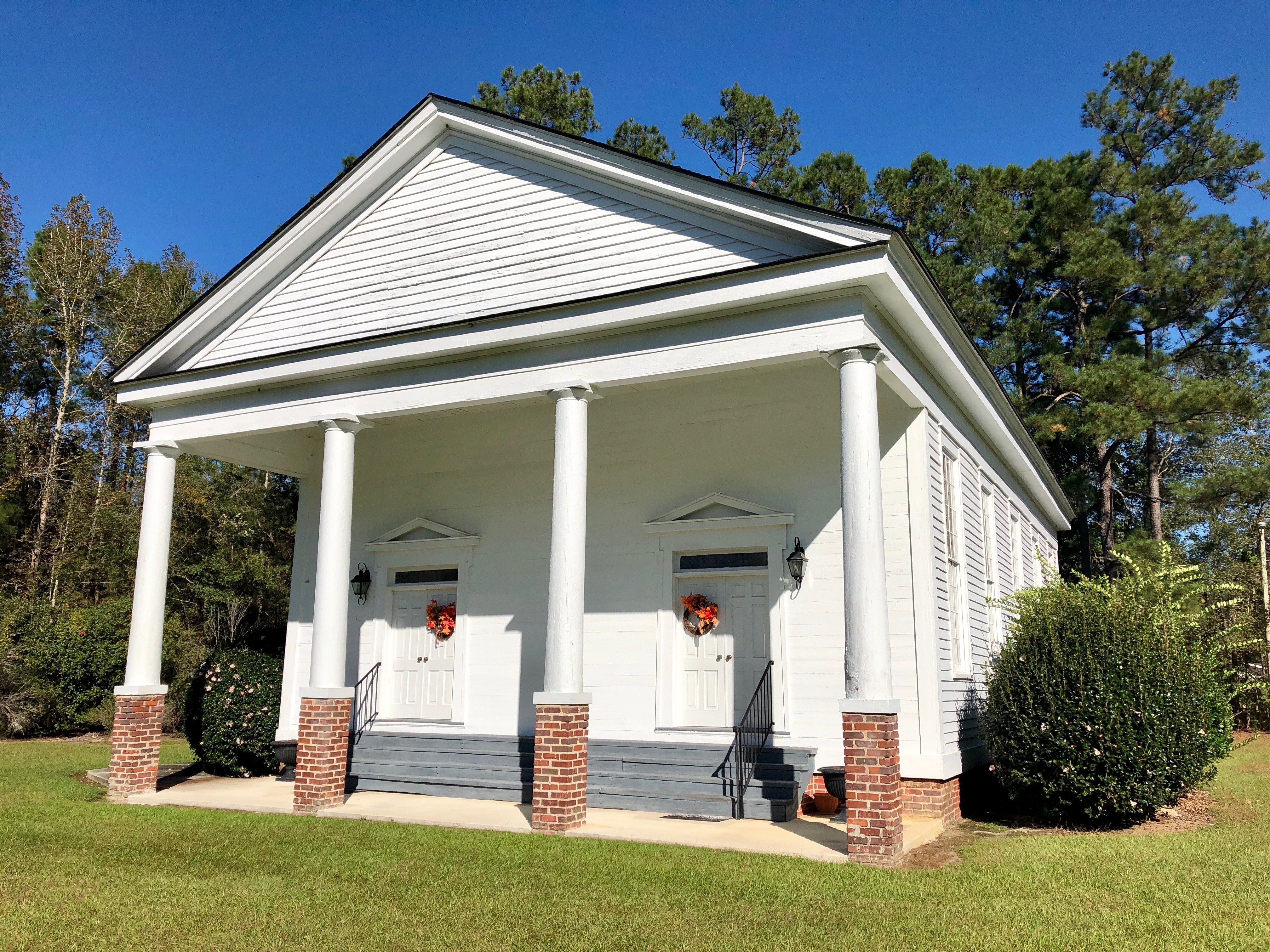
Central United Methodist Church South Carolina 1735
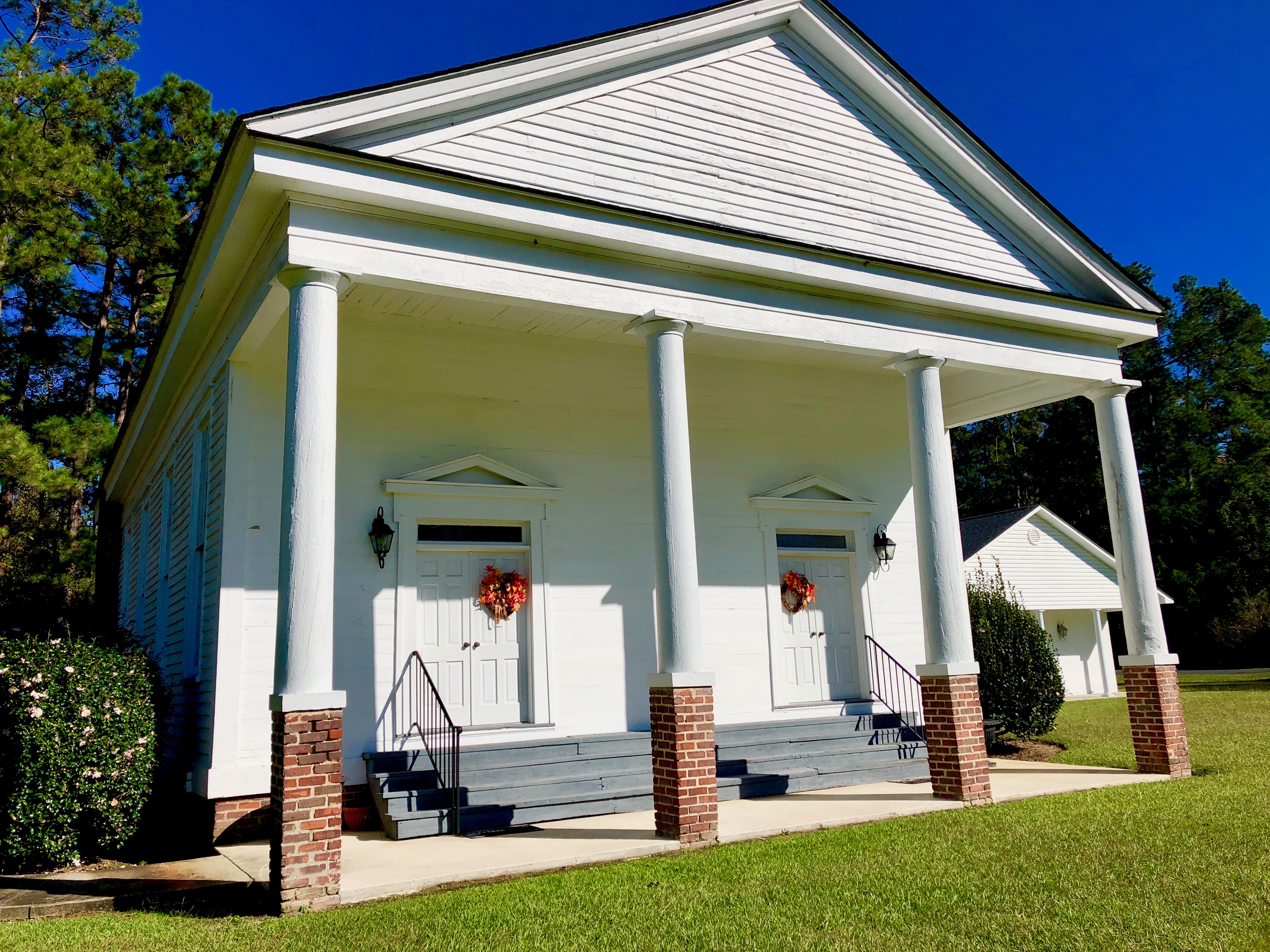
Central United Methodist Church South Carolina 1735
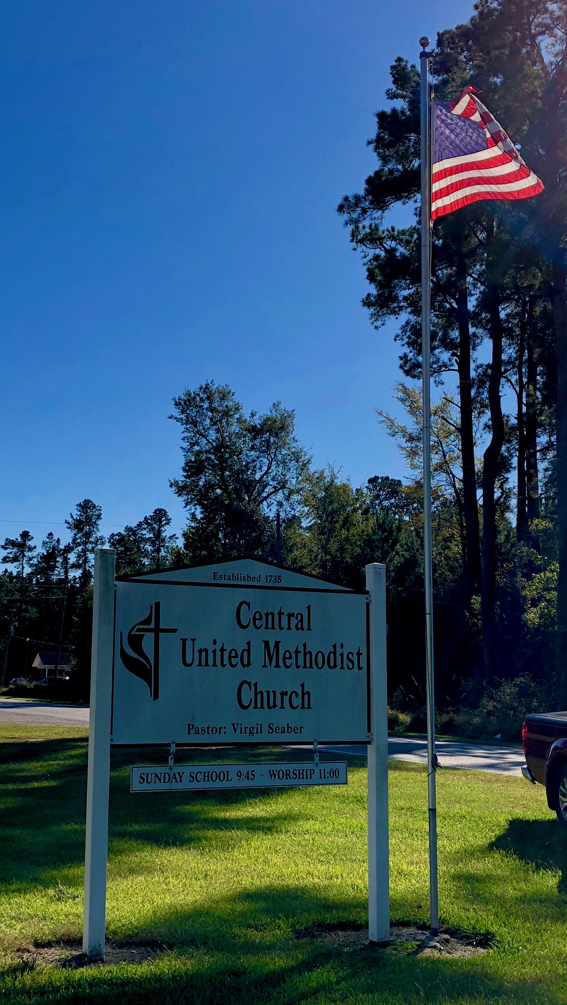
Central United Methodist Church South Carolina 1735

Flower and bee in South Carolina
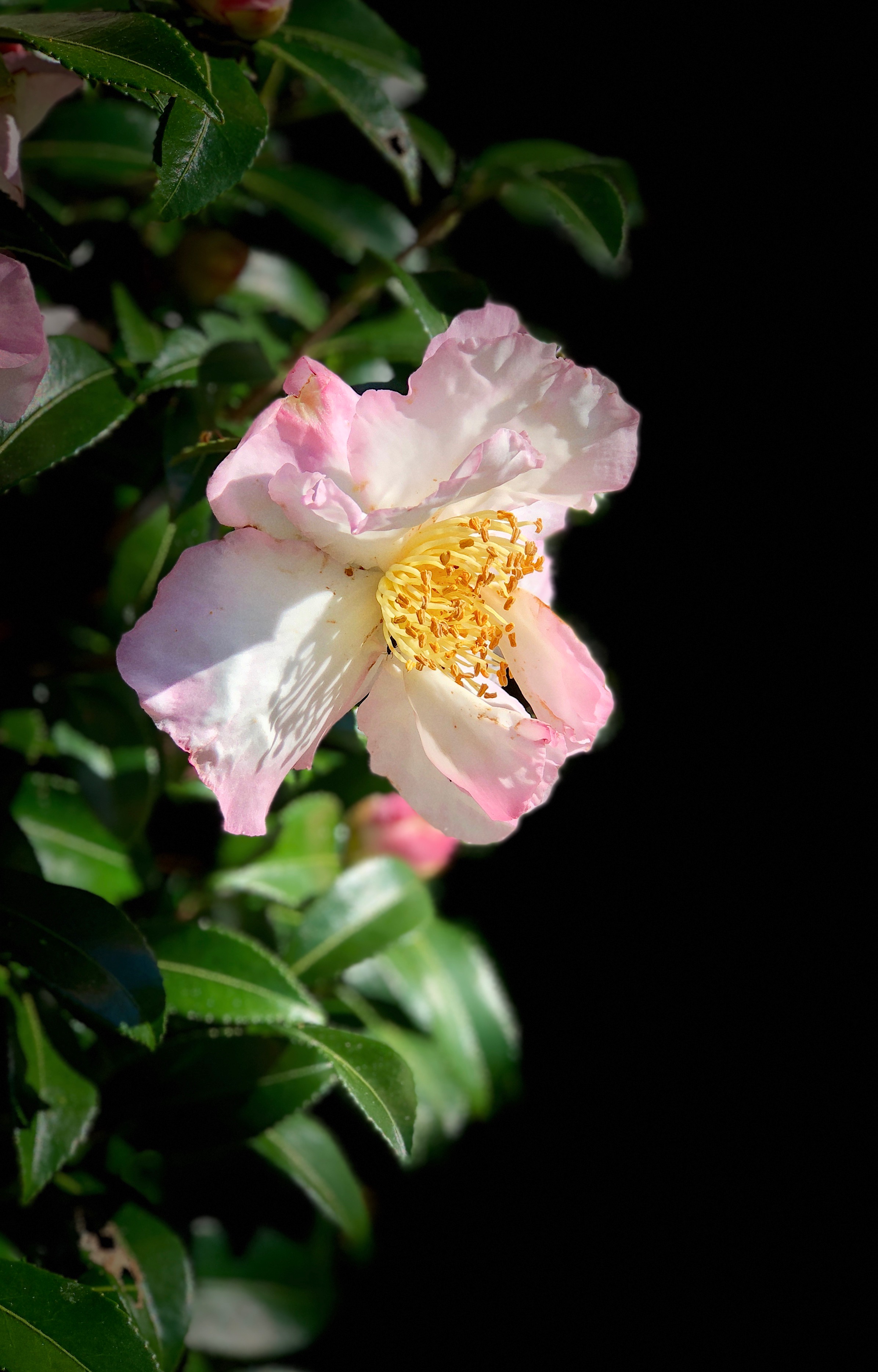
Flower in South Carolina

Asic Kill Bill Tigers. -Gone
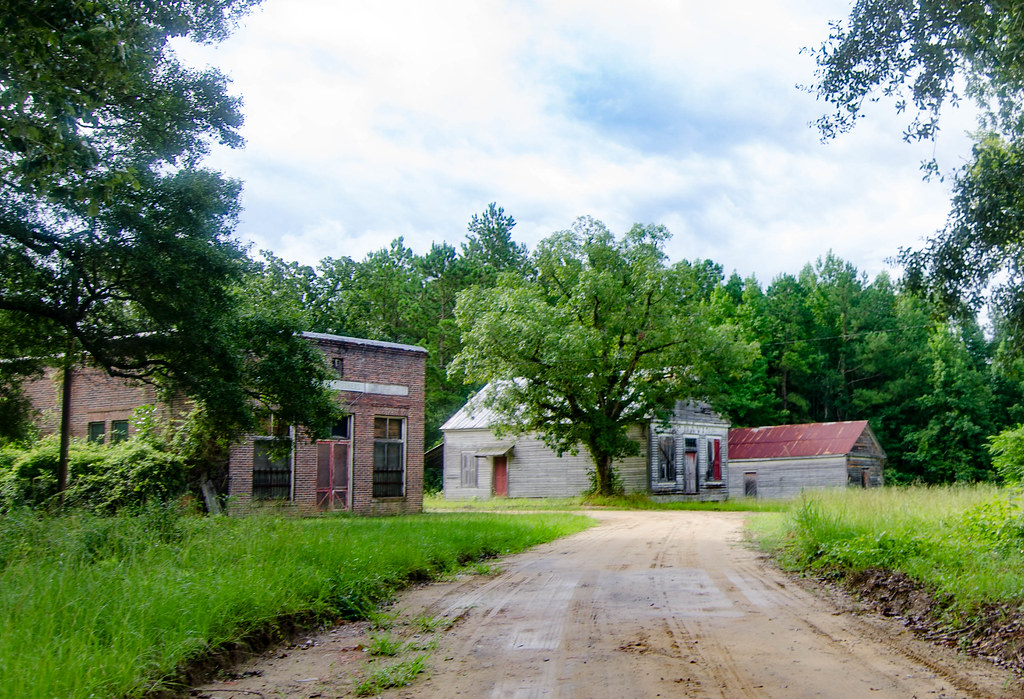
Ella's Grove-001
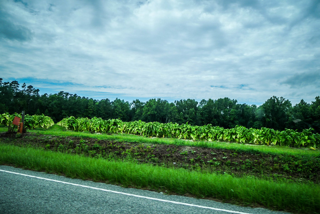
Tobacco Field
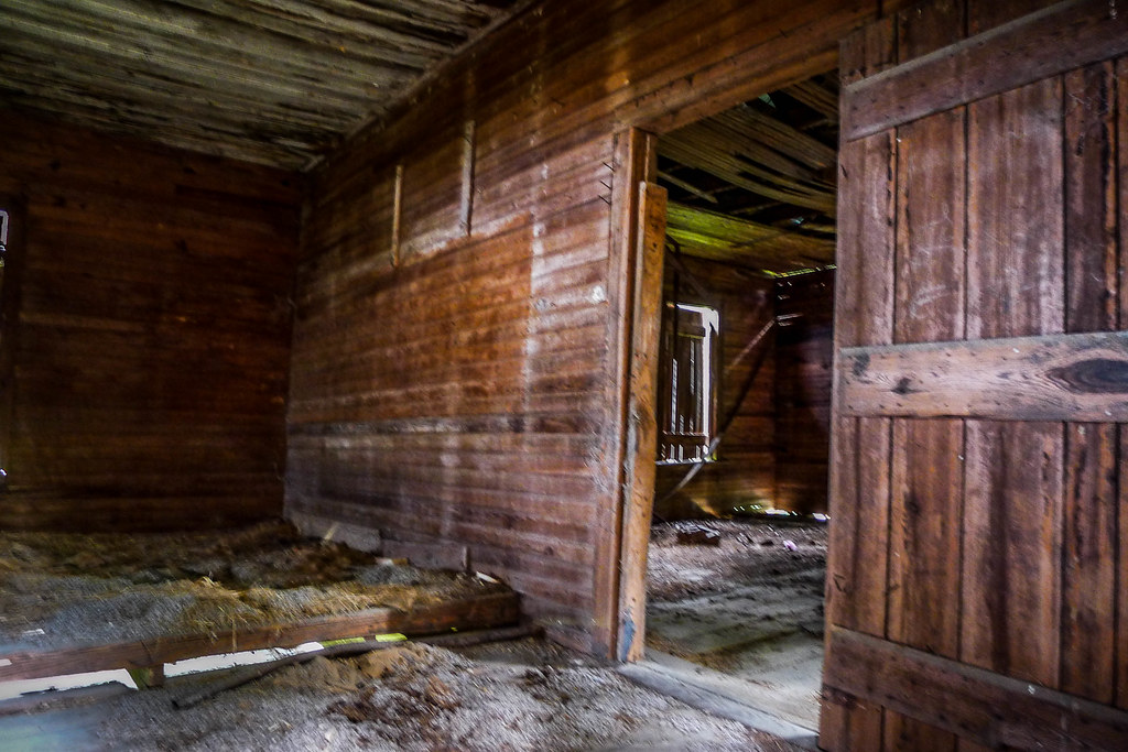
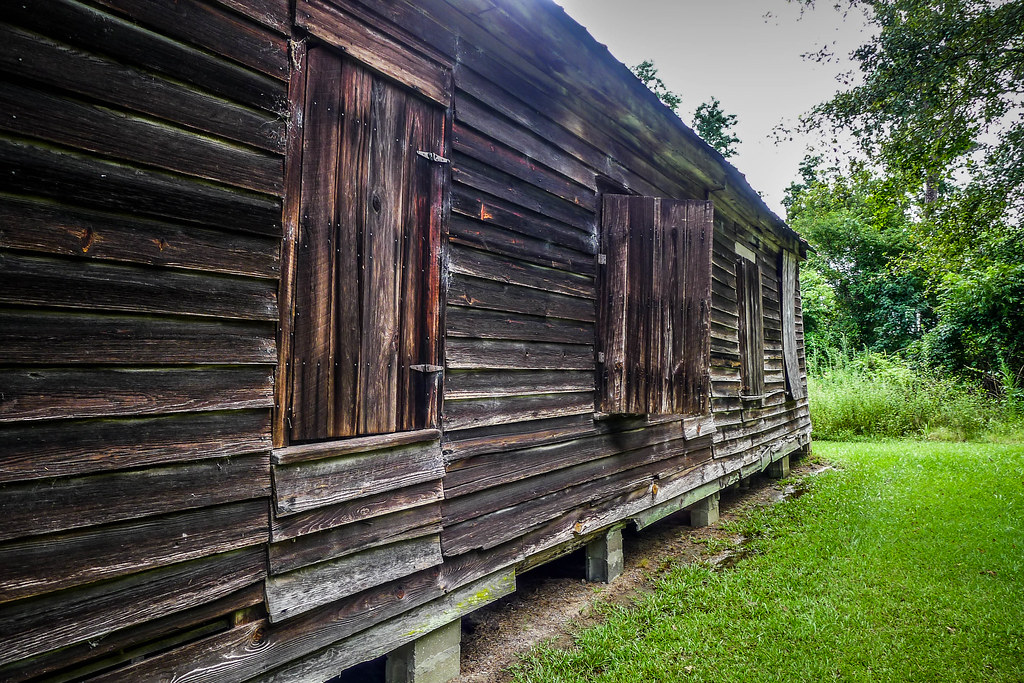
Jordanville-004
Jordanville-003
Jordanville-002
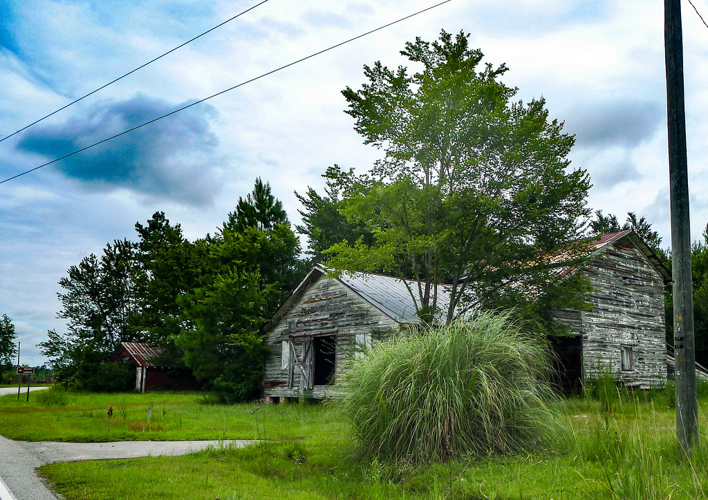
Palmer School-015
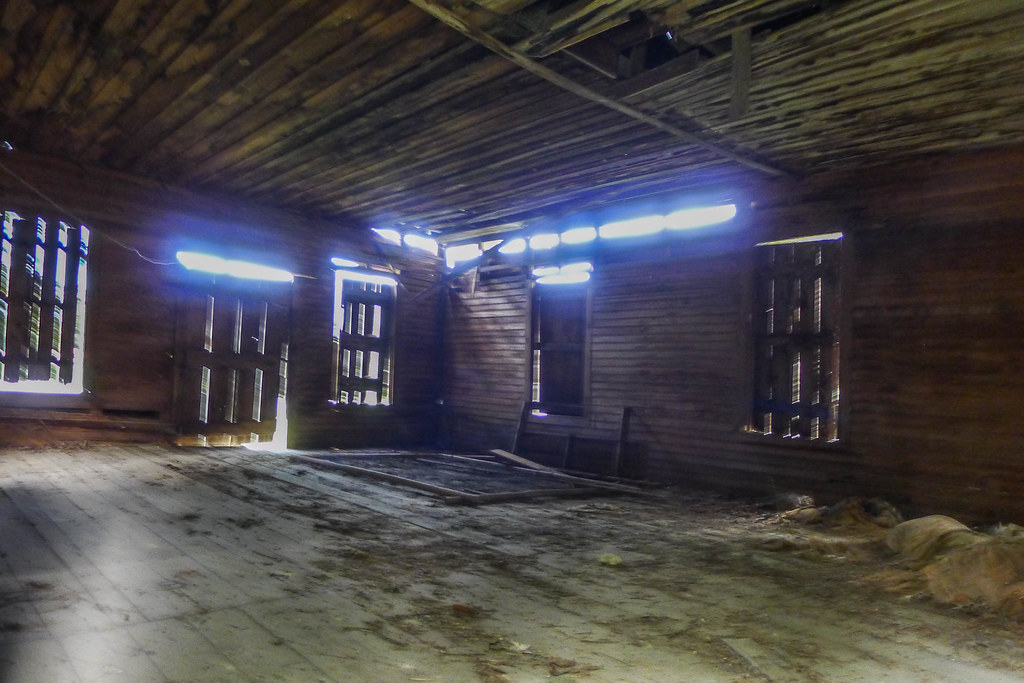
Palmer School-014
Palmer School-013
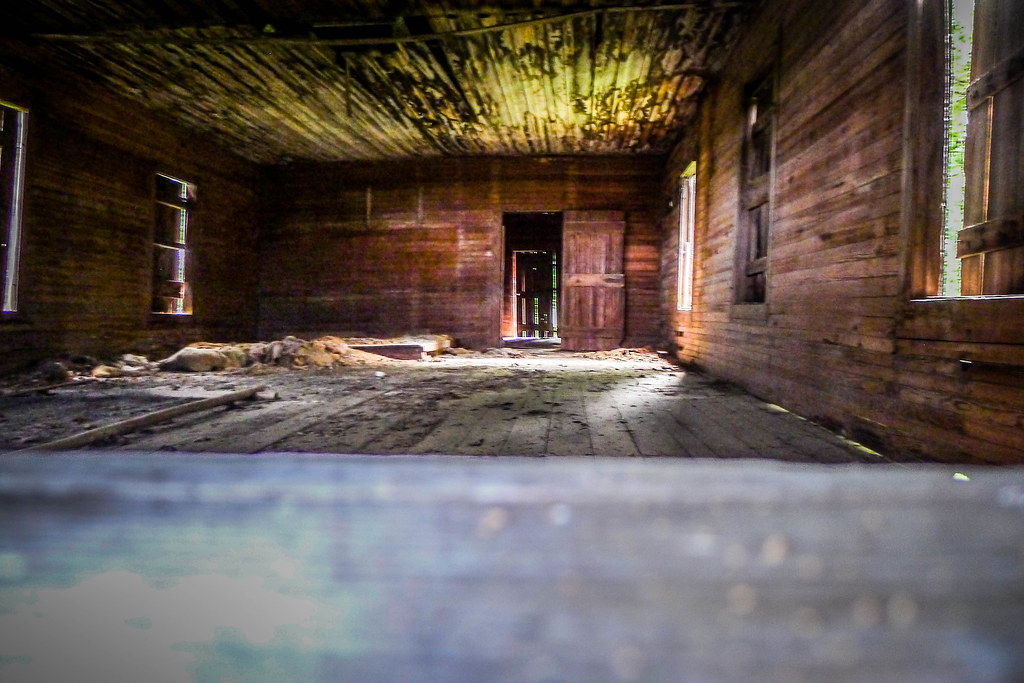
Palmer School-012
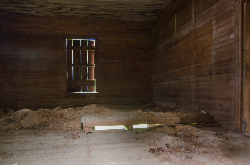
Palmer School-010
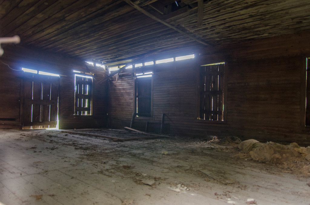
Palmer School-009
Topographic Map of Gunters Lake Rd, Galivants Ferry, SC, USA
Find elevation by address:

Places near Gunters Lake Rd, Galivants Ferry, SC, USA:
4131 Gunters Lake Rd
Black Island Road
4001 Gunters Lake Rd
4301 Gunters Lake Rd
GALIVANTS FRY, SC, USA
Pee Dee Rd S, Galivants Ferry, SC, USA
Davis Landing Ct, Marion, SC, USA
1958 Jonestown Rd
185 White Arrow Ln
1186 Floyd Page Rd
Dog Bluff
15721 Pee Dee Rd S
1400 Butler Rd
Gresham
211 Farmers Grove Dr
211 Farmers Grove Dr
332 Millbrook Cir
398 Jordanville Rd
Aynor High School
455 Roberts Rd
Recent Searches:
- Elevation of Leguwa, Nepal
- Elevation of County Rd, Enterprise, AL, USA
- Elevation of Kolchuginsky District, Vladimir Oblast, Russia
- Elevation of Shustino, Vladimir Oblast, Russia
- Elevation of Lampiasi St, Sarasota, FL, USA
- Elevation of Elwyn Dr, Roanoke Rapids, NC, USA
- Elevation of Congressional Dr, Stevensville, MD, USA
- Elevation of Bellview Rd, McLean, VA, USA
- Elevation of Stage Island Rd, Chatham, MA, USA
- Elevation of Shibuya Scramble Crossing, 21 Udagawacho, Shibuya City, Tokyo -, Japan