Elevation of Guntakal, Andhra Pradesh, India
Location: India > Andhra Pradesh > Anantapuram >
Longitude: 77.3769836
Latitude: 15.1660706
Elevation: 452m / 1483feet
Barometric Pressure: 96KPa
Elevation Map:
Satellite Map:
Related Photos:

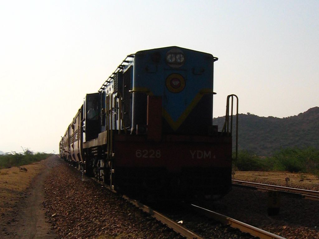
Late night boring journey...!! Excited to go home.. #bored #excited #mixedfeelings #cantwait #train #journey #nighttime

Me in the train.
The Small monster
Topographic Map of Guntakal, Andhra Pradesh, India
Find elevation by address:

Places near Guntakal, Andhra Pradesh, India:
Maddikera
M.agraharam
Yadavali
Hampa
Gollaladoddi
Peravali
Burujula
Obulapuram
Basinepalle
Kotha Buruju
Pathikonda - Nunusuralla Road
Nallachelimal
Chanugondla
Kotrai Sunkullama Temple
Eddupenta
St Ann's Church Ramadurgam
Alamkonda
Peddamma Talli Temple Obulapuram
Brahmanapalle
Malliyala
Recent Searches:
- Elevation of Scenic Shore Dr, Kingwood Area, TX, USA
- Elevation of W Prive Cir, Delray Beach, FL, USA
- Elevation of S Layton Cir W, Layton, UT, USA
- Elevation of F36W+3M, Mussoorie, Uttarakhand, India
- Elevation of Fairland Ave, Fairhope, AL, USA
- Elevation of Sunset Dr, Richmond, VA, USA
- Elevation of Grodna District, Hrodna Region, Belarus
- Elevation of Hrodna, Hrodna Region, Belarus
- Elevation of Sandia Derby Estates, Tijeras, NM, USA
- Elevation of 23 Sunrise View Ct, Tijeras, NM, USA