Elevation of Gunnison, MS, USA
Location: United States > Mississippi > Bolivar County >
Longitude: -90.945106
Latitude: 33.9442751
Elevation: 47m / 154feet
Barometric Pressure: 101KPa
Elevation Map:
Satellite Map:
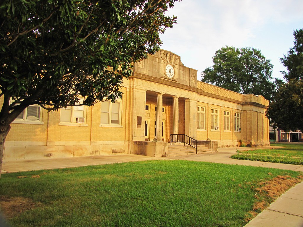
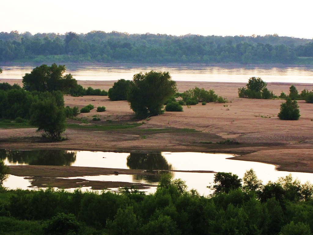
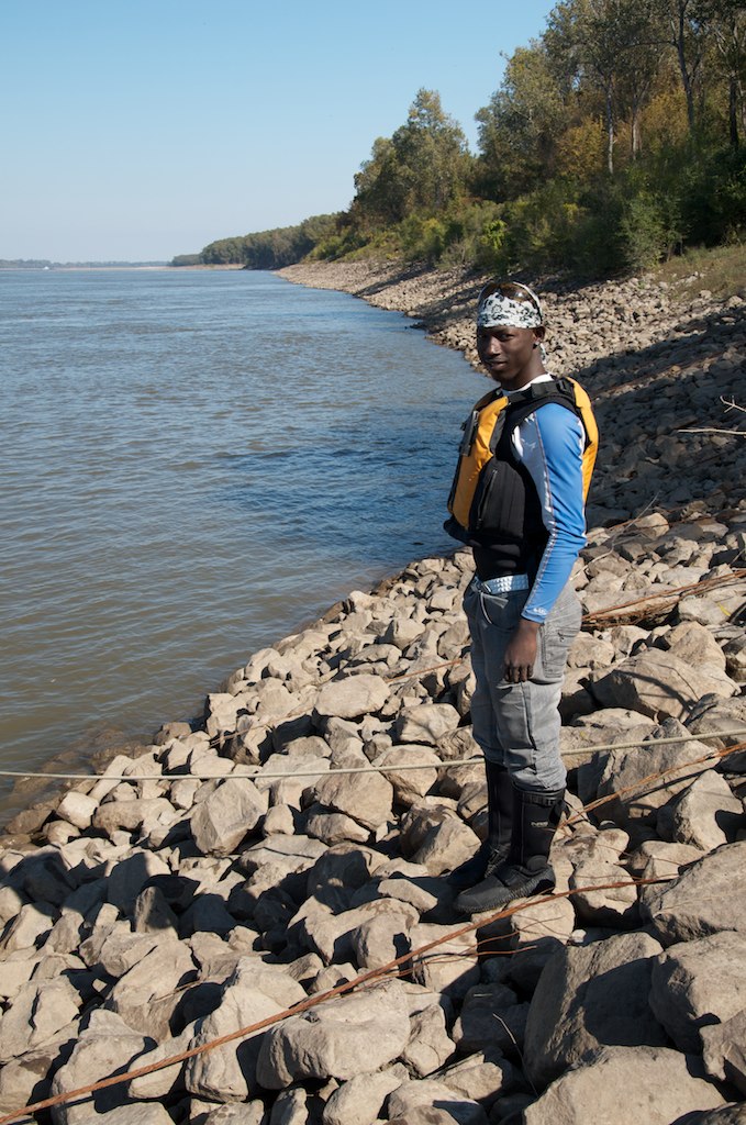
Related Photos:
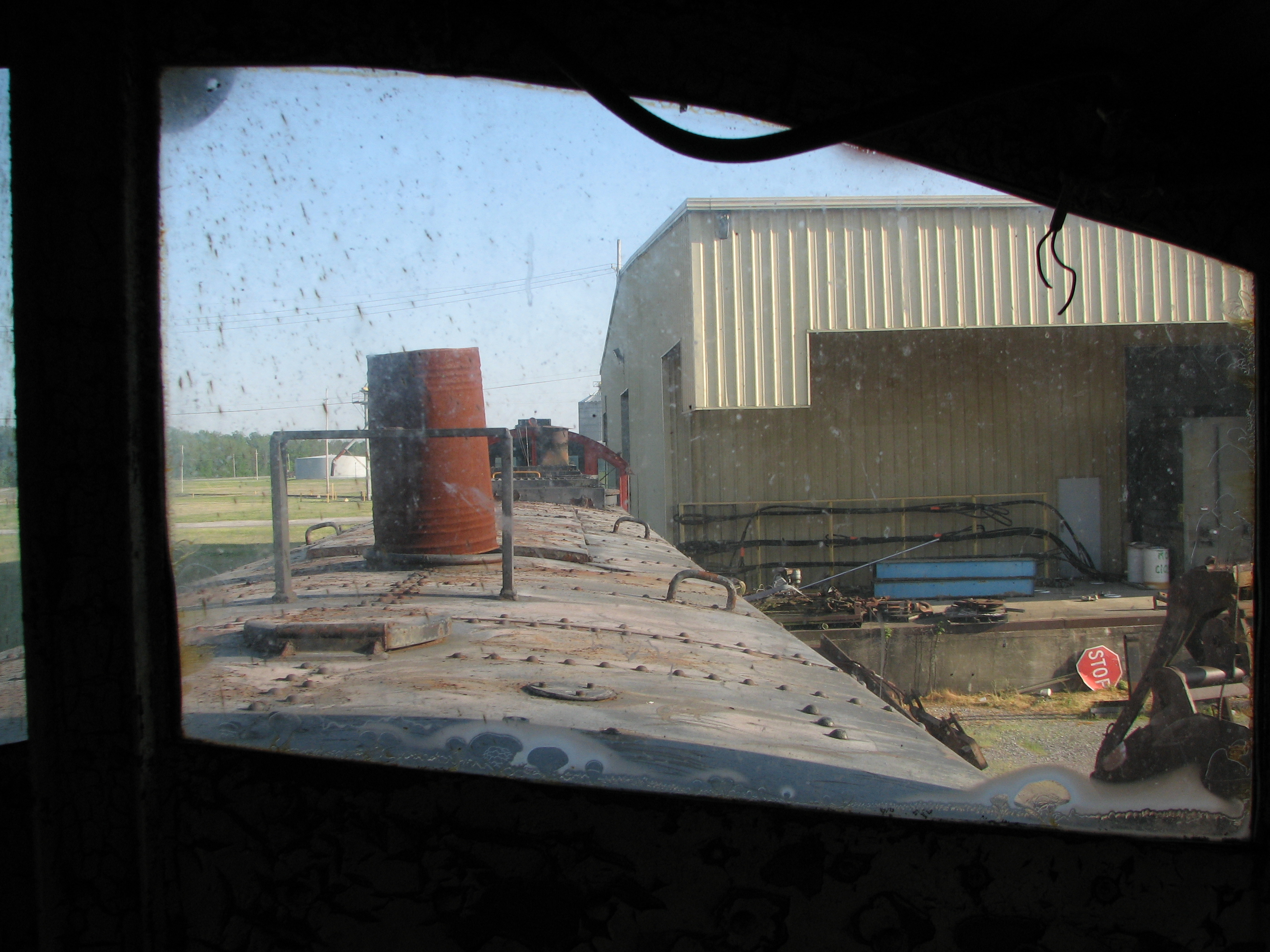
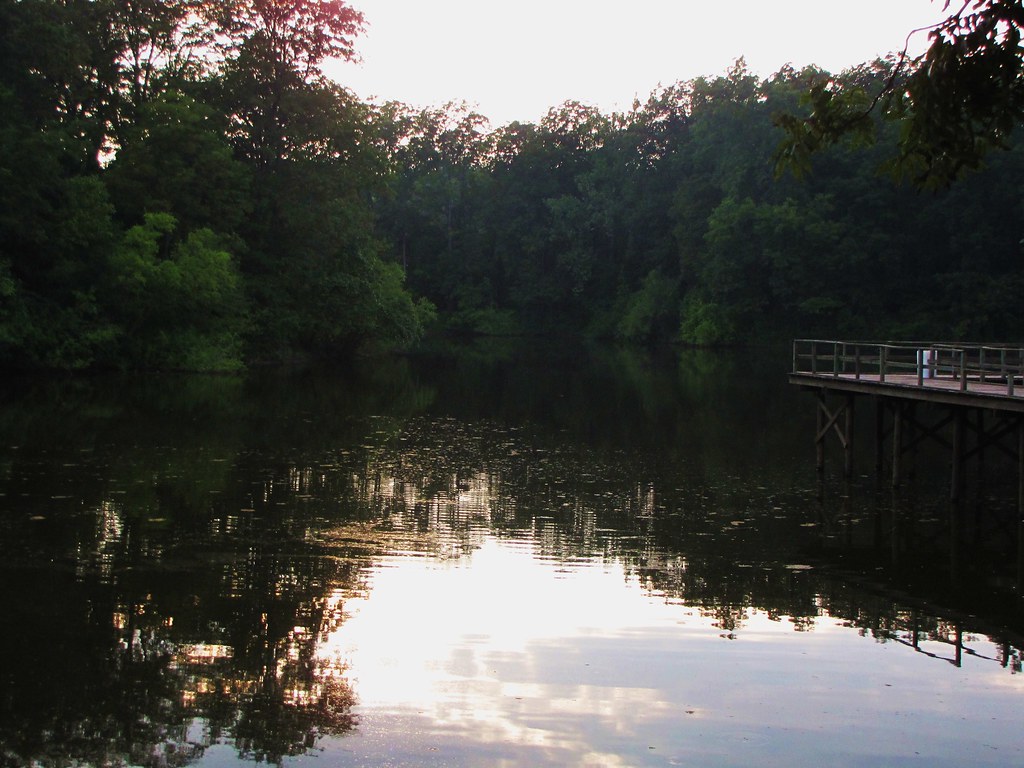
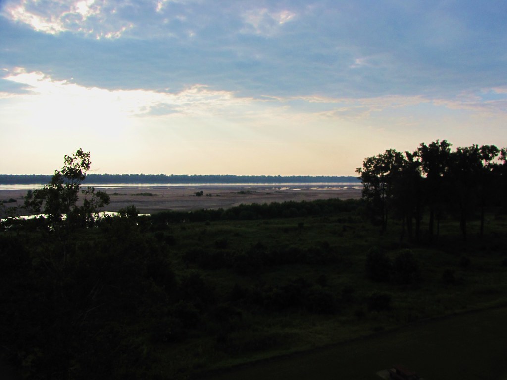
GTR.5

GTR.4
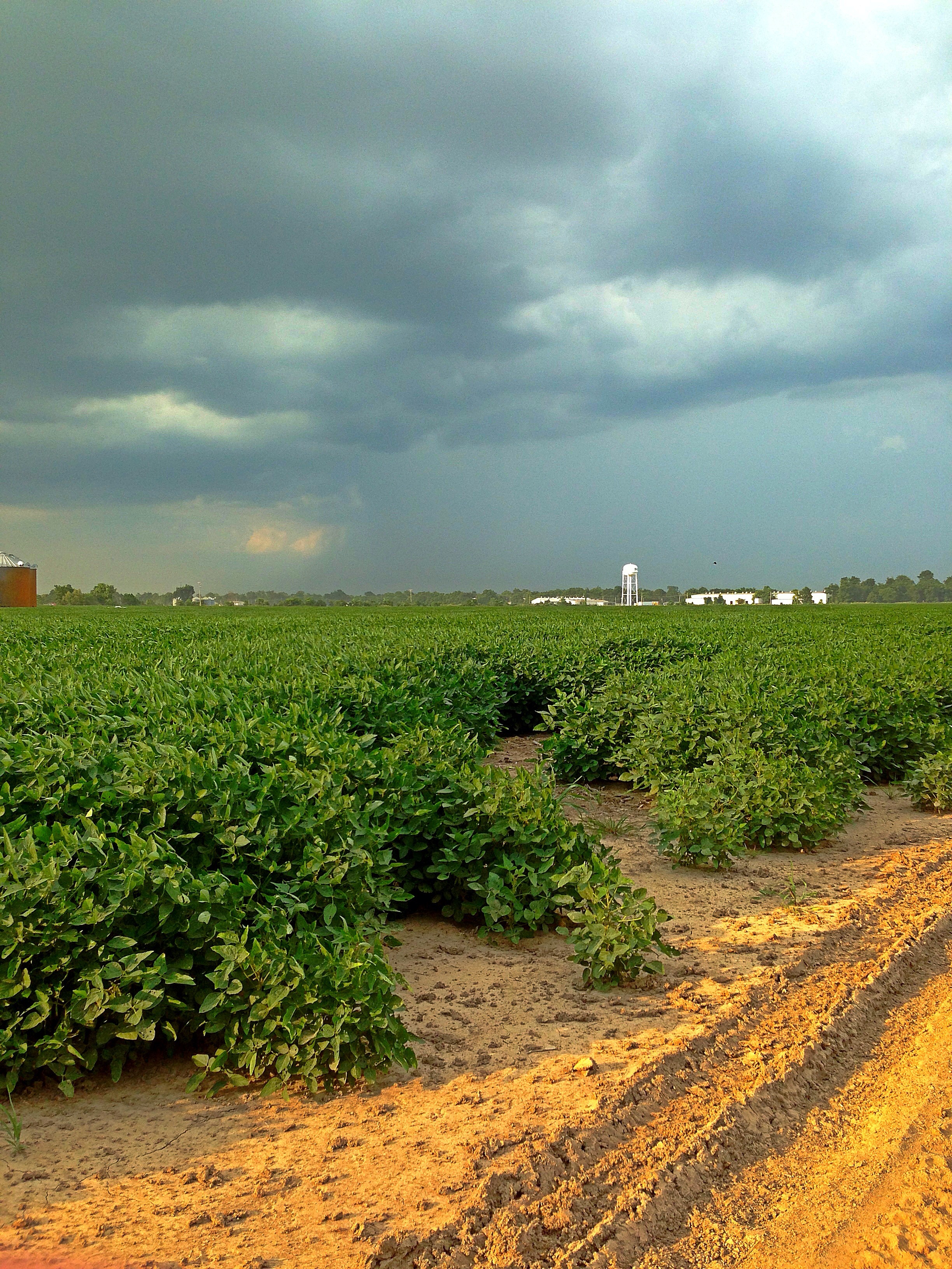
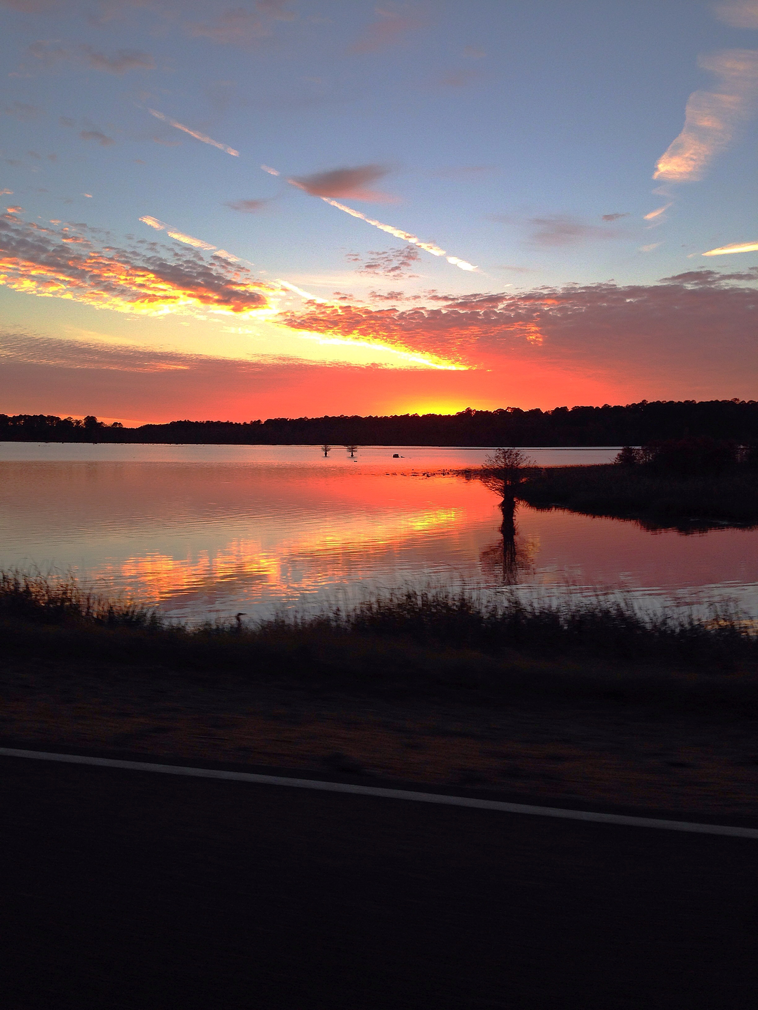
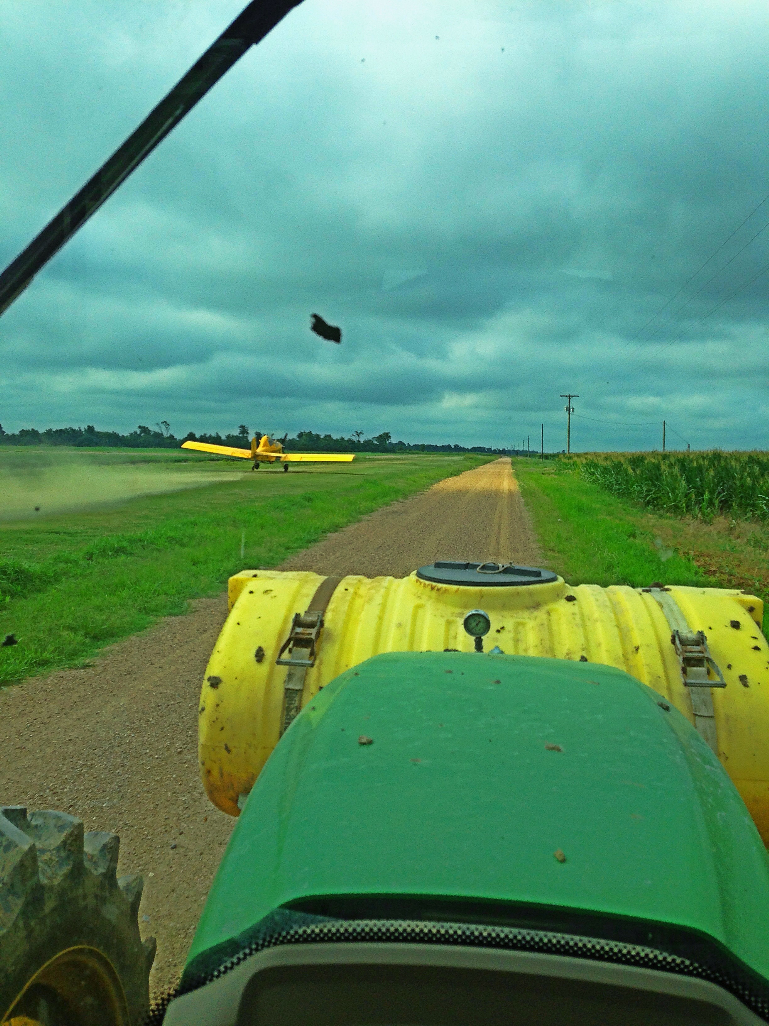

IMG_2935

IMG_3948
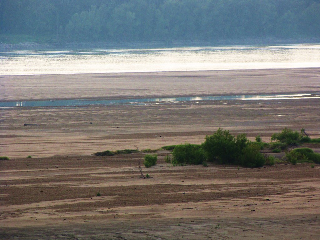
IMG_2928
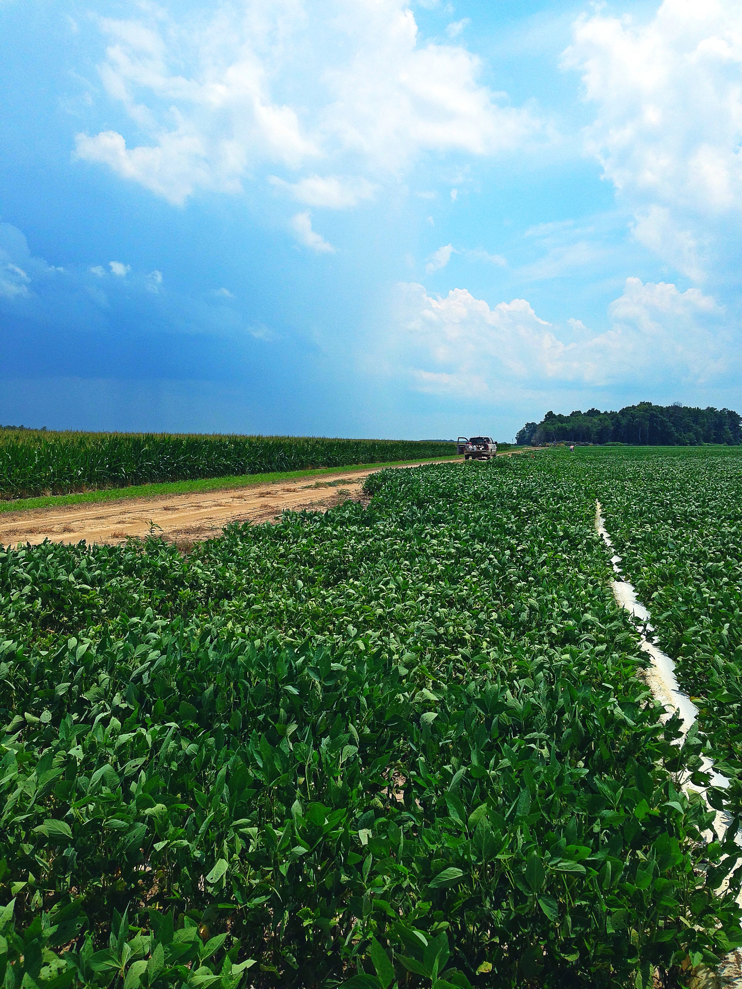
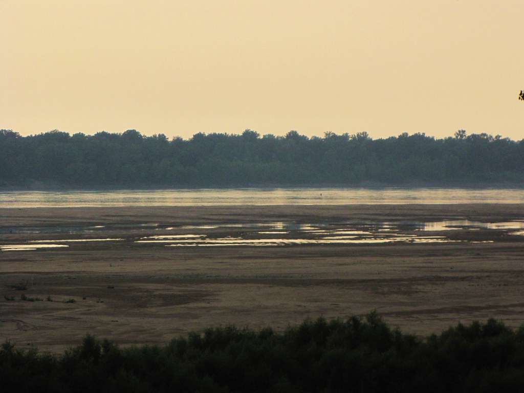
IMG_2927
IMG_2931
IMG_2925
_DSC1552
IMG_2923
IMG_2924
IMG_2938
IMG_2929
_DSC1481
_DSC1801
Topographic Map of Gunnison, MS, USA
Find elevation by address:

Places in Gunnison, MS, USA:
Places near Gunnison, MS, USA:
Perthshire Rd, Gunnison, MS, USA
1016 Cattle Ranch Rd
MS-1, Duncan, MS, USA
Bruce St, Rosedale, MS, USA
Rosedale
Bolivar County
Montgomery Point Lock & Dam (lock 99)
Shelby
E 2nd Ave, Shelby, MS, USA
84 Burroughs Rd, Shelby, MS, USA
Po' Monkey's Lounge
Duncan
Mound Bayou
Spencer St, Mound Bayou, MS, USA
Merigold
1595 N Bayou Rd
1595 N Bayou Rd
Chester Township
AR-44, Tichnor, AR, USA
AR-1, Watson, AR, USA
Recent Searches:
- Elevation of W Granada St, Tampa, FL, USA
- Elevation of Pykes Down, Ivybridge PL21 0BY, UK
- Elevation of Jalan Senandin, Lutong, Miri, Sarawak, Malaysia
- Elevation of Bilohirs'k
- Elevation of 30 Oak Lawn Dr, Barkhamsted, CT, USA
- Elevation of Luther Road, Luther Rd, Auburn, CA, USA
- Elevation of Unnamed Road, Respublika Severnaya Osetiya — Alaniya, Russia
- Elevation of Verkhny Fiagdon, North Ossetia–Alania Republic, Russia
- Elevation of F. Viola Hiway, San Rafael, Bulacan, Philippines
- Elevation of Herbage Dr, Gulfport, MS, USA