Elevation of Gunnison, CO, USA
Location: United States > Colorado >
Longitude: -106.92532
Latitude: 38.5458246
Elevation: 2350m / 7710feet
Barometric Pressure: 76KPa
Elevation Map:
Satellite Map:
Related Photos:

Ready For The Shoot

IMGP3797.jpg

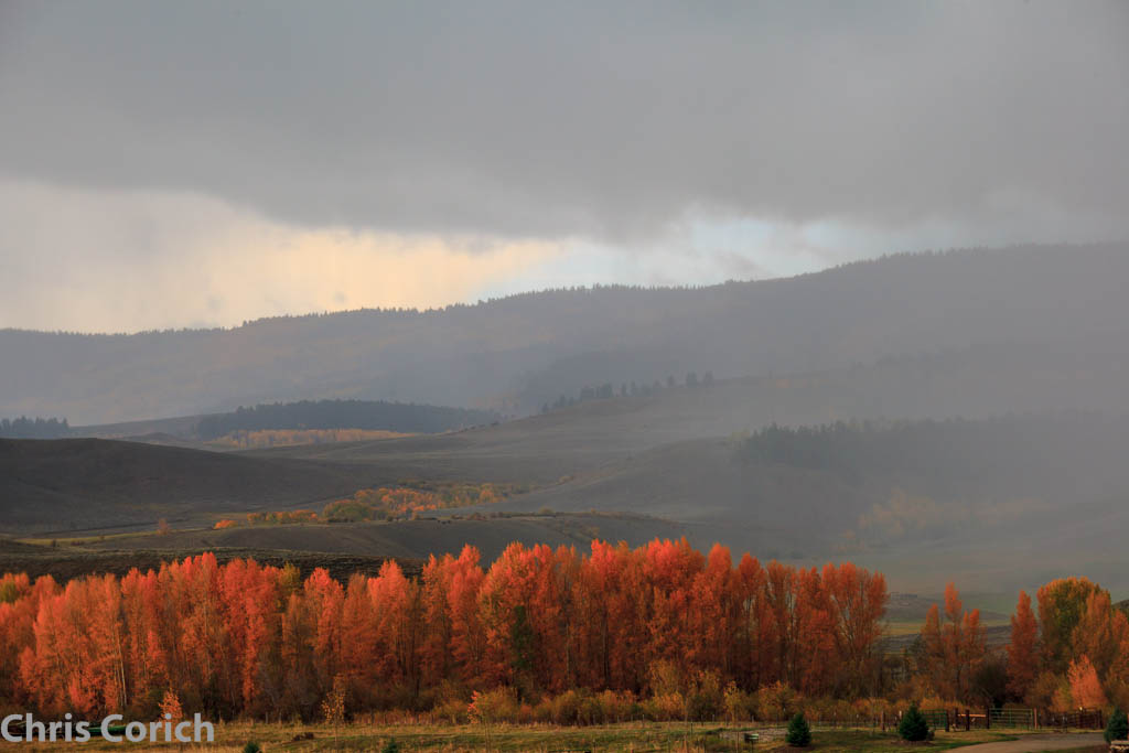
Autumn Hay Bales
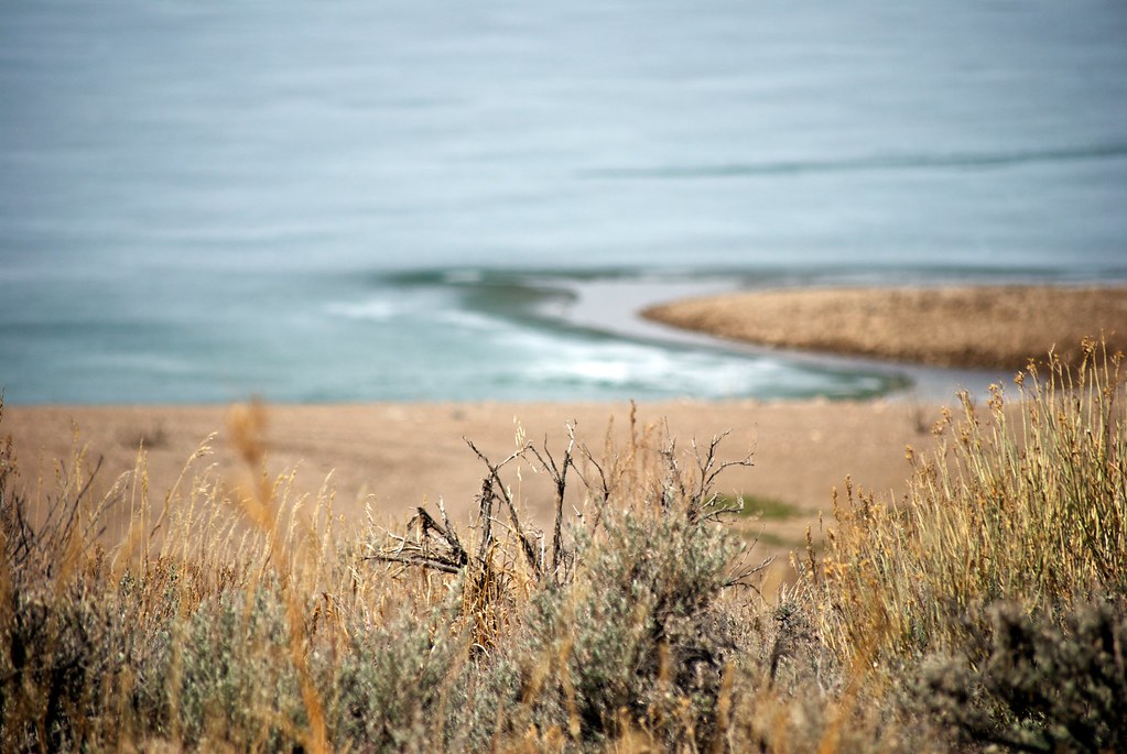
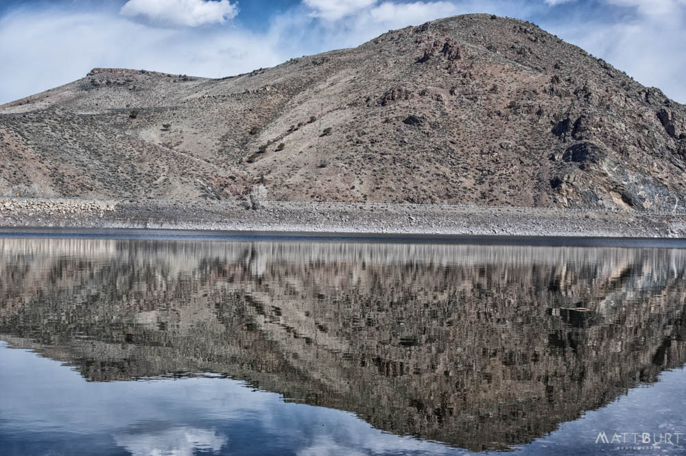
A view of Blue Mesa Reservoir | Curecanti National Recreation Area, CO | May, 2012

IMGP3137-Edit-2.jpg
IMGP1035-Edit
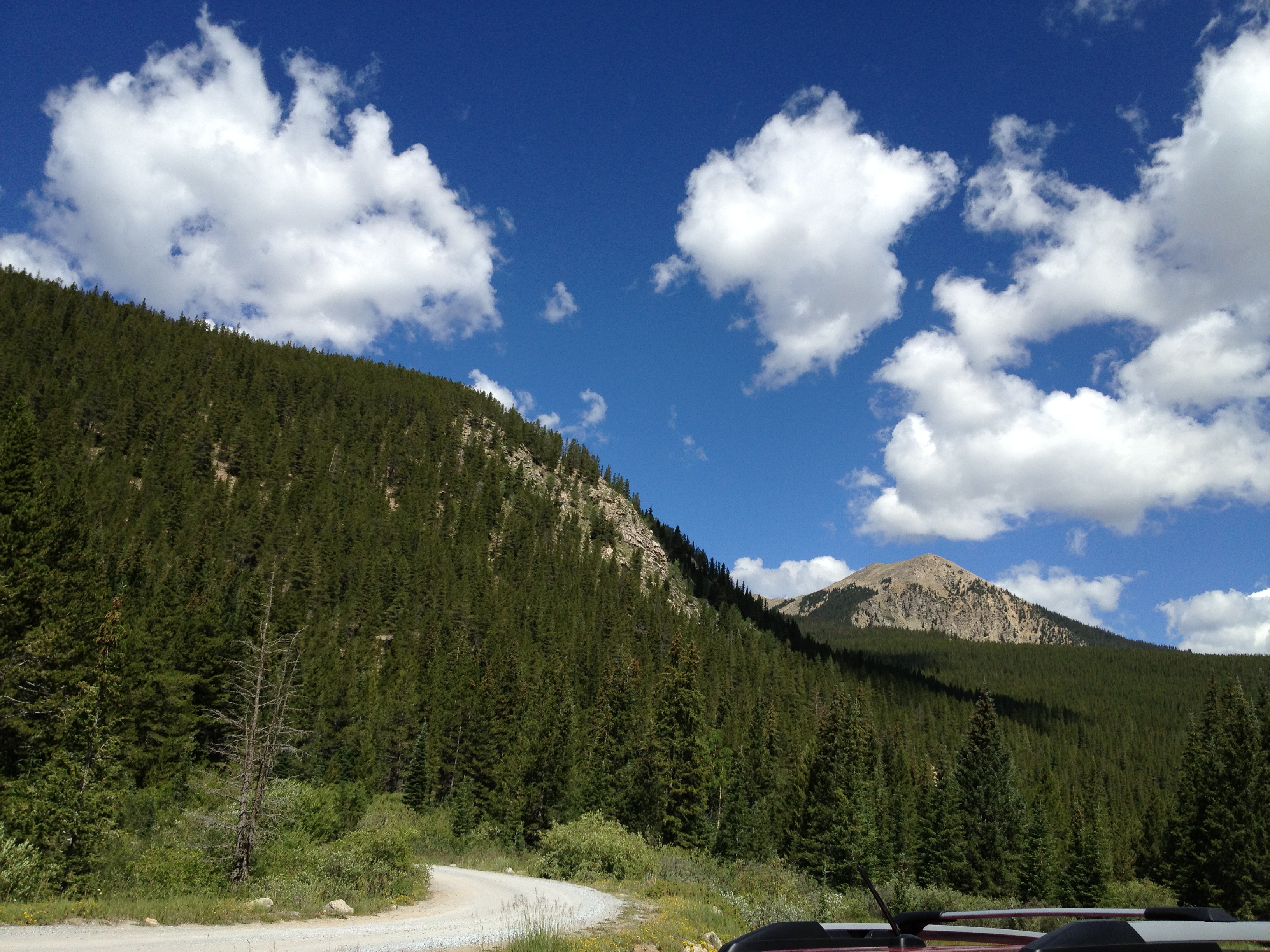
My town

IMGP6421.jpg

Room with a view
View from Up Top at Hartman Rocks
Westward View from Atop Hartman Ridge
North View from The Ridge at Hartman Rocks

Northeast View from Hartman Rocks
Base Area Ridge Viewed from the North Rim
IMGP3756.jpg
IMGP4148.jpg

Another day, another lap #skateskiing #hartmans #nordorkin #gunnison
2013-08-10 11.33.39

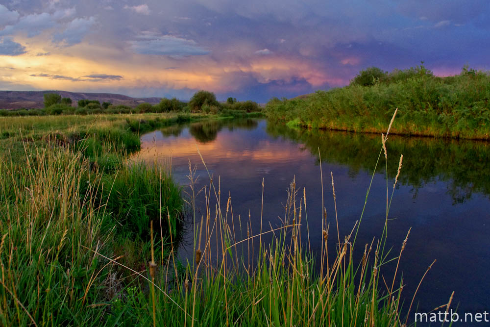
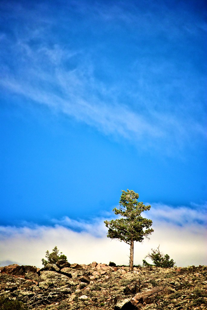
Gunnison, CO

West Elk Wilderness, CO
a family of seasons
Morrow Point Reservoir. Gunnison, CO
sibling rivalry
_MG_0894.jpg
IMGP8522-Edit
IMGP7733-Edit

ridge trail
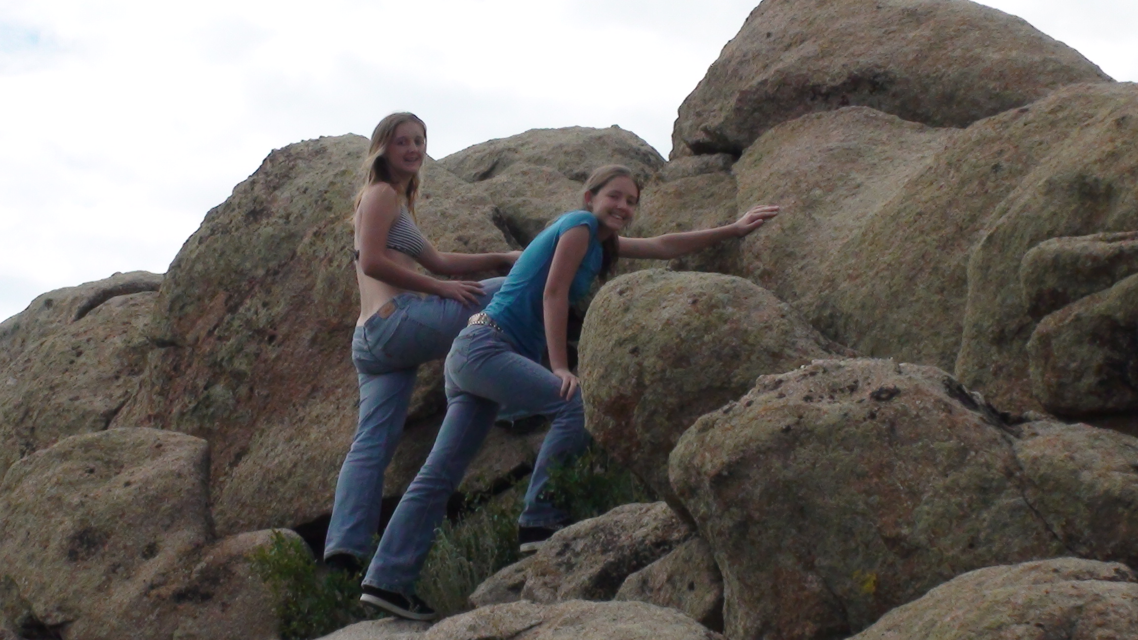
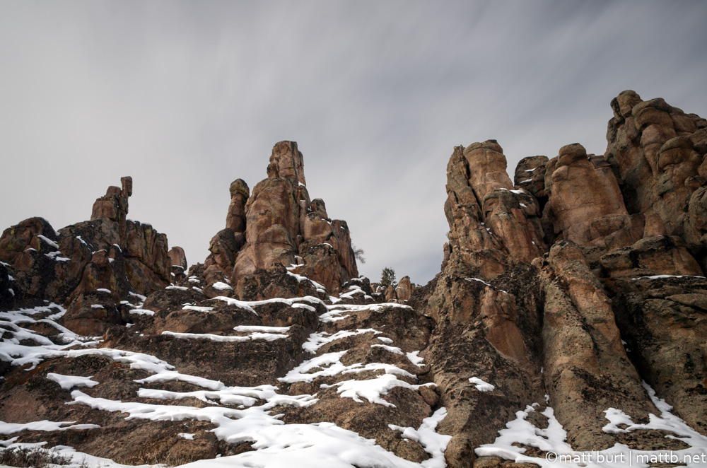
Hartman Rocks
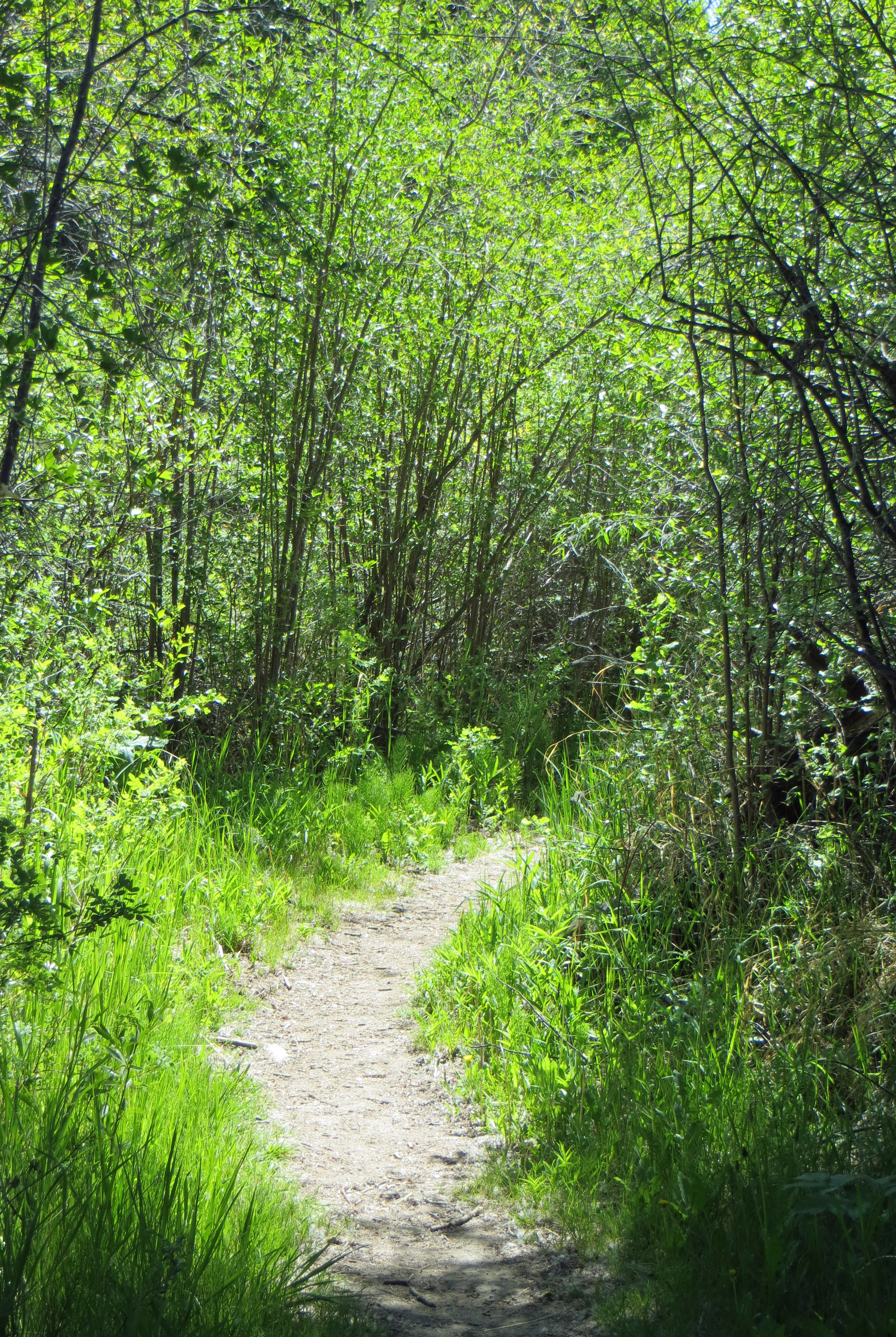
Vegetation Along Neversink Trail
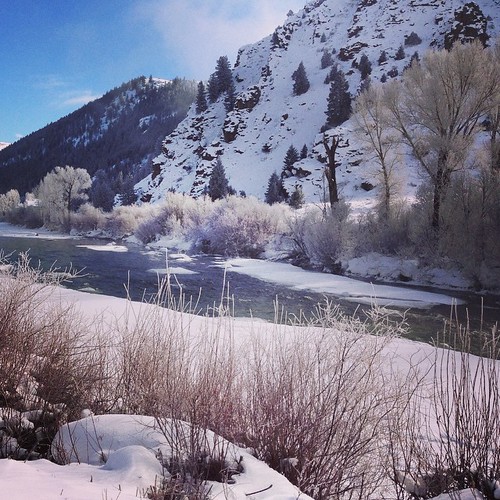
Gunnison River, at the edge of the ice-fog

#fall ##autumn #aspen #maple #sunset #alpenglow #landscape #nature #1x5 #colors #colorado #가을 #단풍 #선셋 #노을 #석양 #일몰 #대박 #자연 #풍경 #콜로라도 #2015

a different landscape, for a change!!
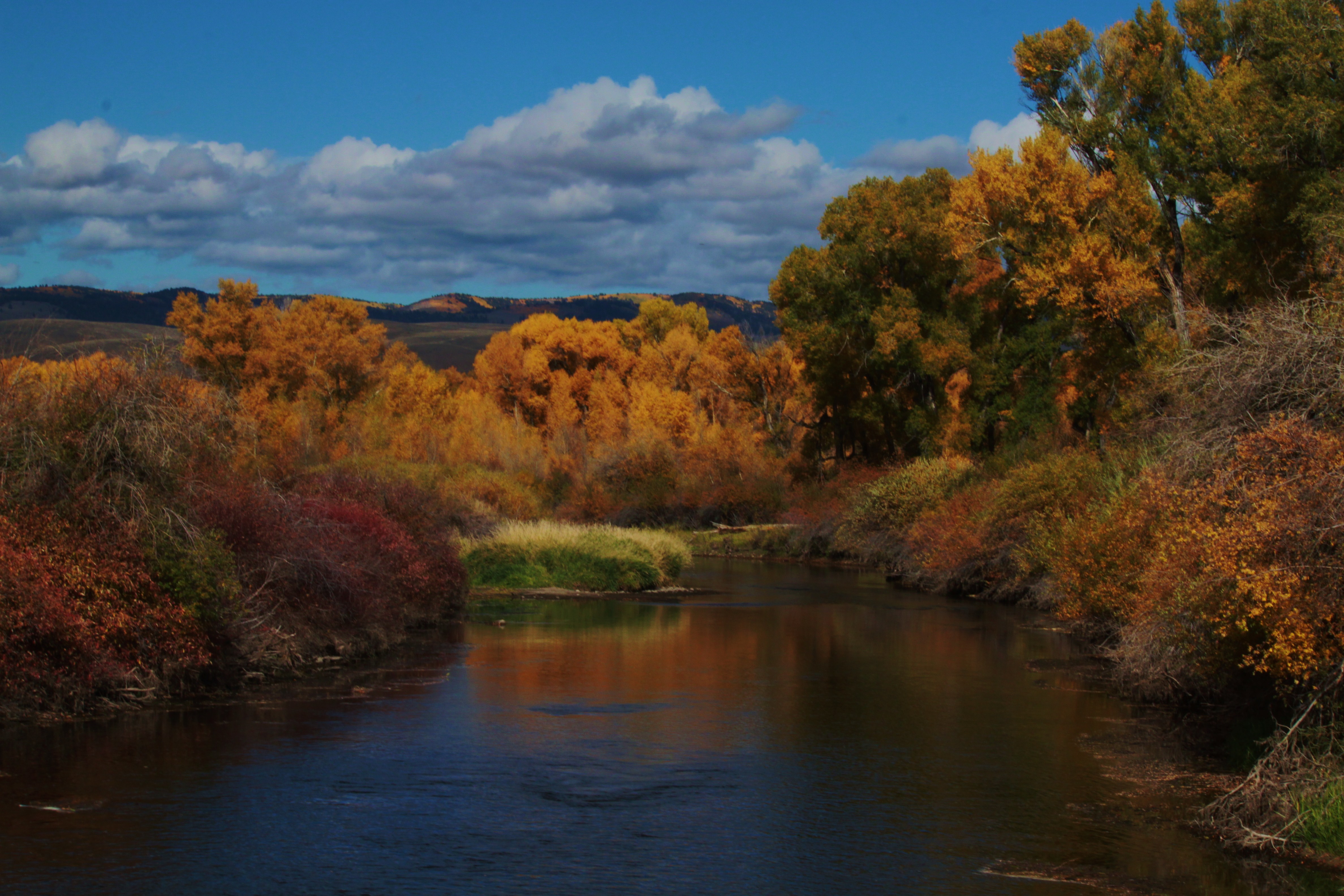
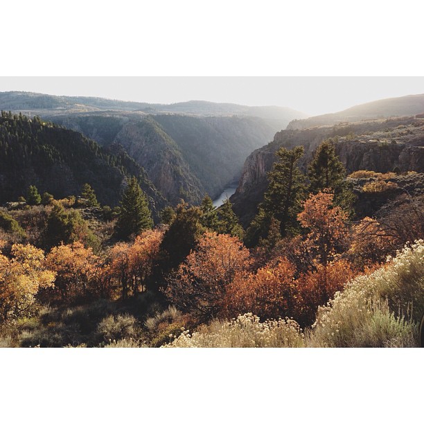
Autumn at Dos Rios
Topographic Map of Gunnison, CO, USA
Find elevation by address:

Places in Gunnison, CO, USA:
Big Hill
Steepy Mountain
Tomichi Dome
Monumental Peak
Carbon Peak
Anthracite Range Hp
Lions Head
Hwy, Gunnison, CO, USA
Cebolla River Rd, Gunnison, CO, USA
Lake City Cutoff Rd, Gunnison, CO, USA
County Rd 1TT, Gunnison, CO, USA
County Road, Gunnison, CO, USA
Castle Dr, Gunnison, CO, USA
11 Co Rd 45, Gunnison, CO, USA
US-50, Gunnison, CO, USA
Co Rd, Gunnison, CO, USA
Co Rd, Gunnison, CO, USA
Pioneer Lookout Point
Forest Service Road 763
County Road 6
West Elk Peak
South Baldy Mountain
County Road 858
Deer Trail
Quartz Street
Fish Creek Reservoir Number 1
Fish Creek Reservoir Number 2
County Road 723
Places near Gunnison, CO, USA:
Gunnison County Administration
Western Colorado University
415 Arthur Ave
13 Dorchester St
Quartz Street
701 W U.s. Hwy 50
1313 W Ohio Ave
Gunnison County Public Works
Deer Trail
Gunnison County
Flat Top
County Road 6
Hwy, Gunnison, CO, USA
County Road, Gunnison, CO, USA
County Rd 1TT, Gunnison, CO, USA
12413 County Rd 1tt
Castle Dr, Gunnison, CO, USA
Curecanti National Recreation Area
264 Squaw Gulch Rd
Crested Butte South
Recent Searches:
- Elevation of Corso Fratelli Cairoli, 35, Macerata MC, Italy
- Elevation of Tallevast Rd, Sarasota, FL, USA
- Elevation of 4th St E, Sonoma, CA, USA
- Elevation of Black Hollow Rd, Pennsdale, PA, USA
- Elevation of Oakland Ave, Williamsport, PA, USA
- Elevation of Pedrógão Grande, Portugal
- Elevation of Klee Dr, Martinsburg, WV, USA
- Elevation of Via Roma, Pieranica CR, Italy
- Elevation of Tavkvetili Mountain, Georgia
- Elevation of Hartfords Bluff Cir, Mt Pleasant, SC, USA