Elevation of Gunn Rd, Byron, GA, USA
Location: United States > Georgia > Peach County > Byron >
Longitude: -83.734811
Latitude: 32.617581
Elevation: 143m / 469feet
Barometric Pressure: 100KPa
Elevation Map:
Satellite Map:
Related Photos:

Filters Play
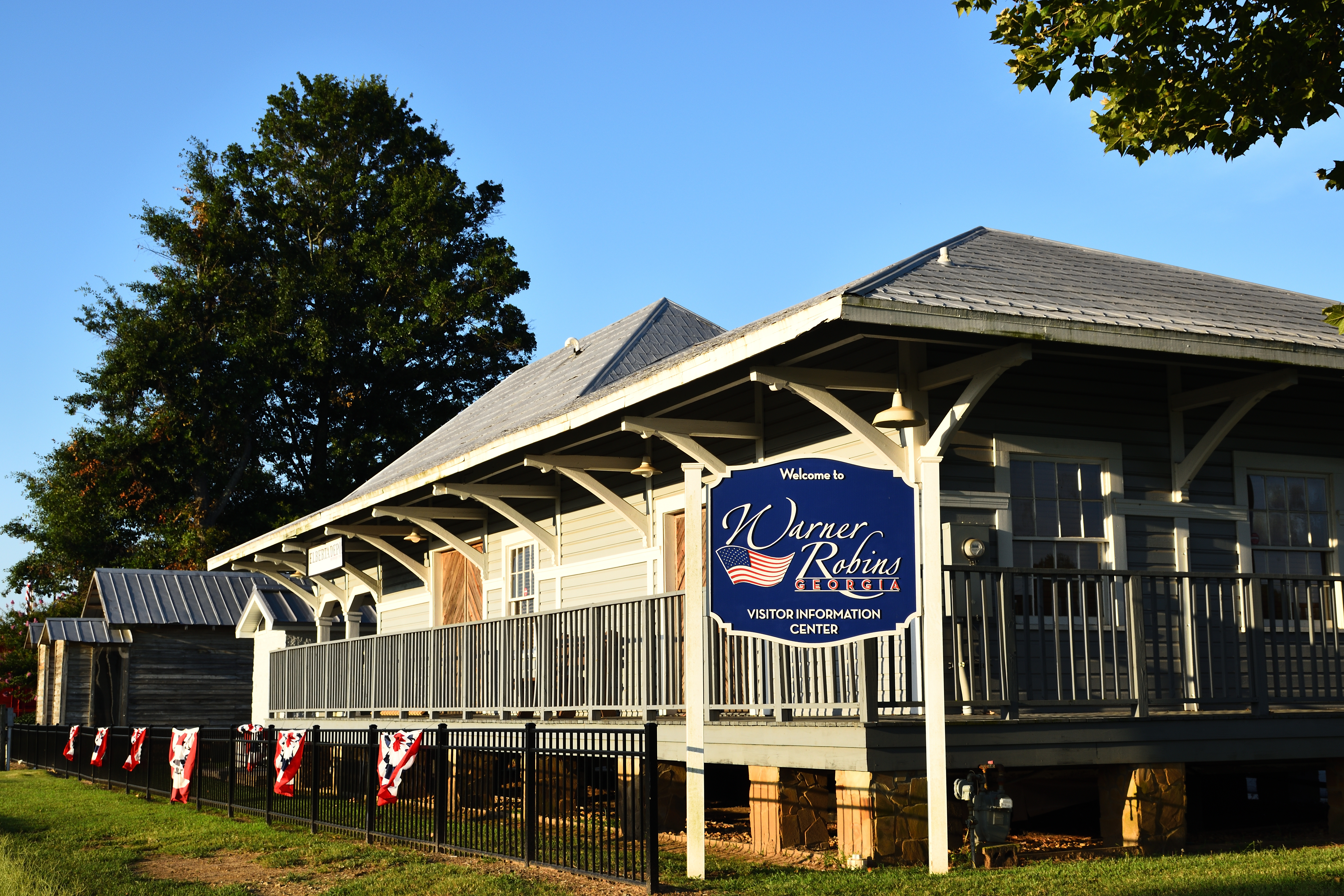
Elberta Depot
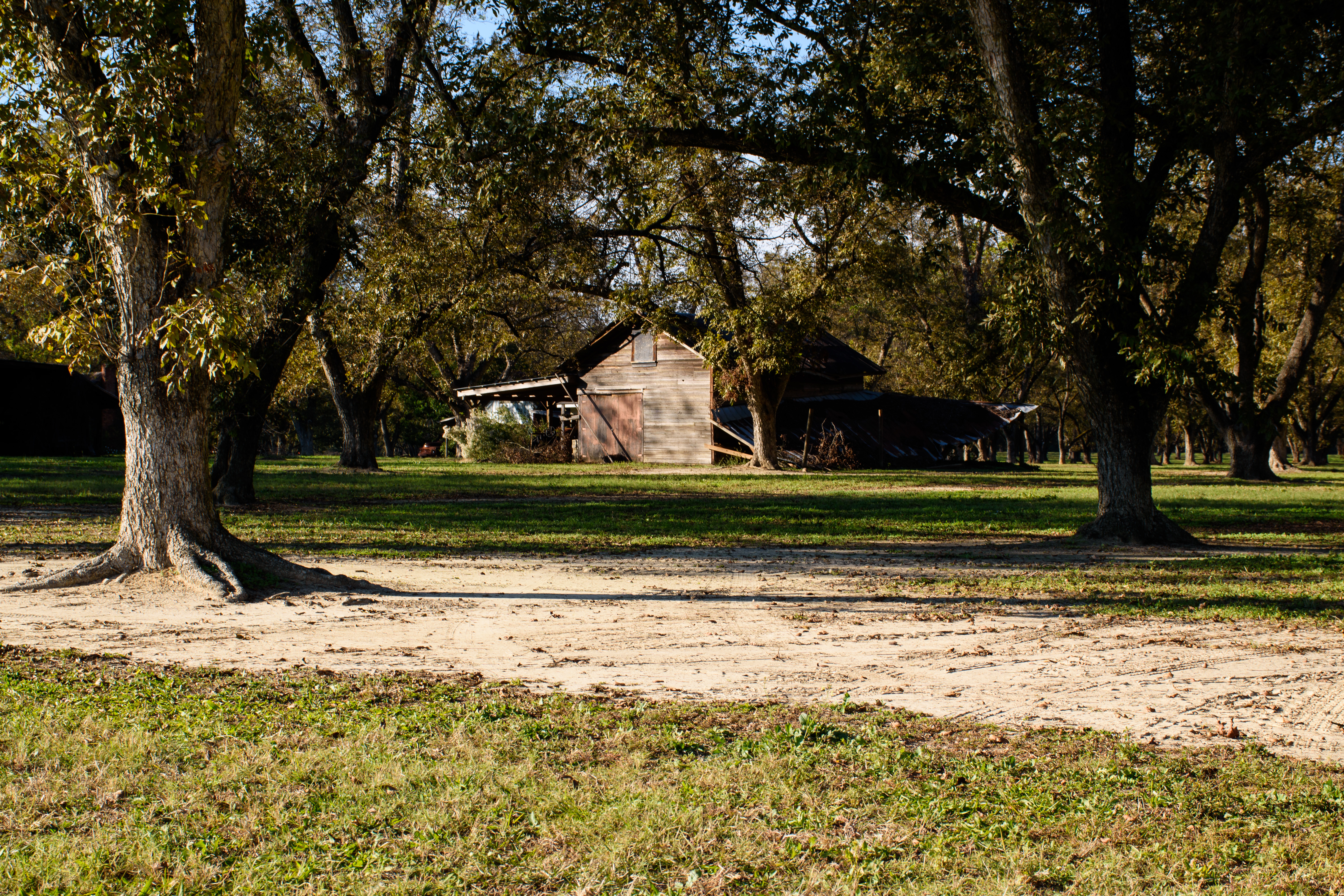
At The Old Pecan Bottom

Landscape Abstract
Good Morming
Beautiful Day Ends
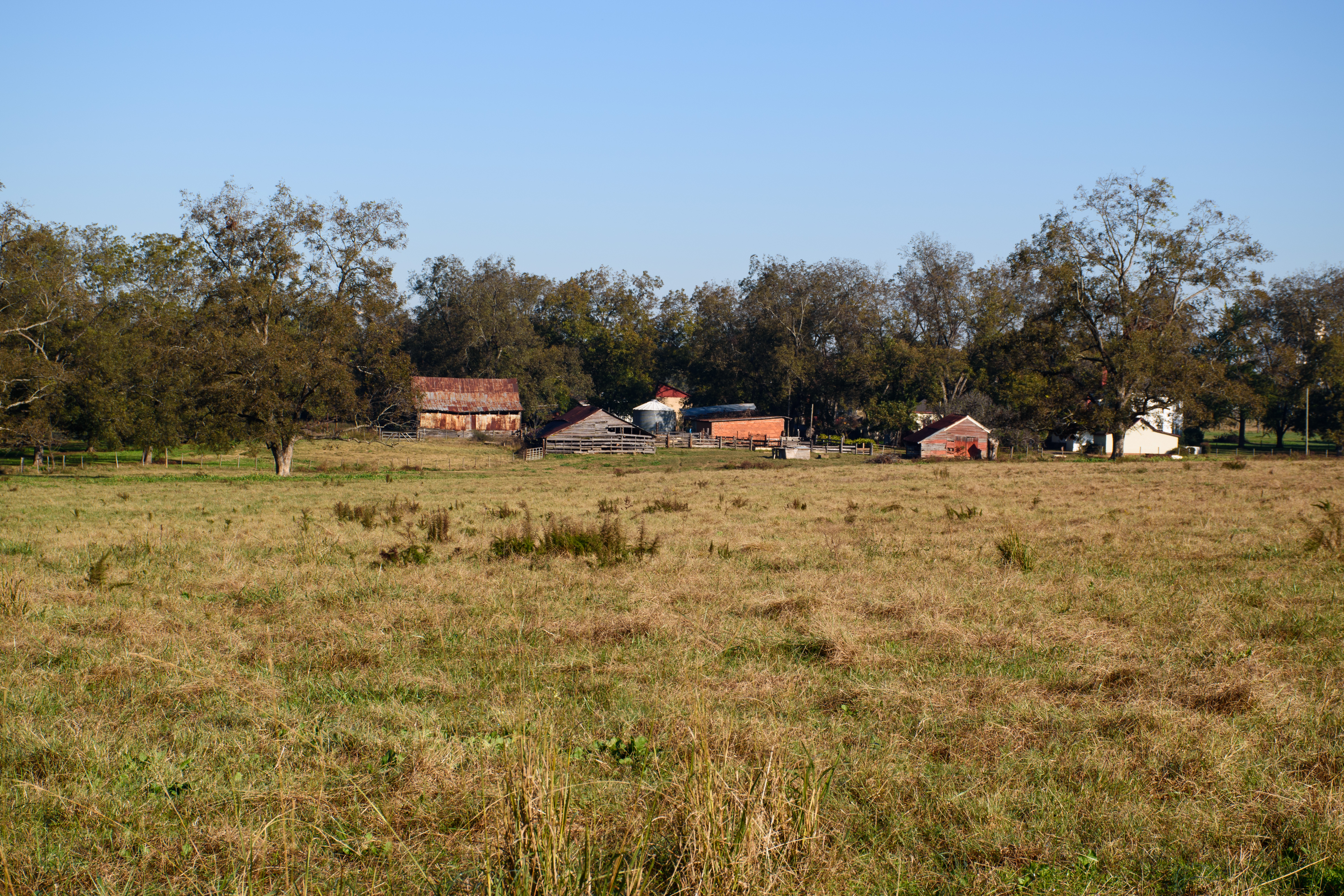
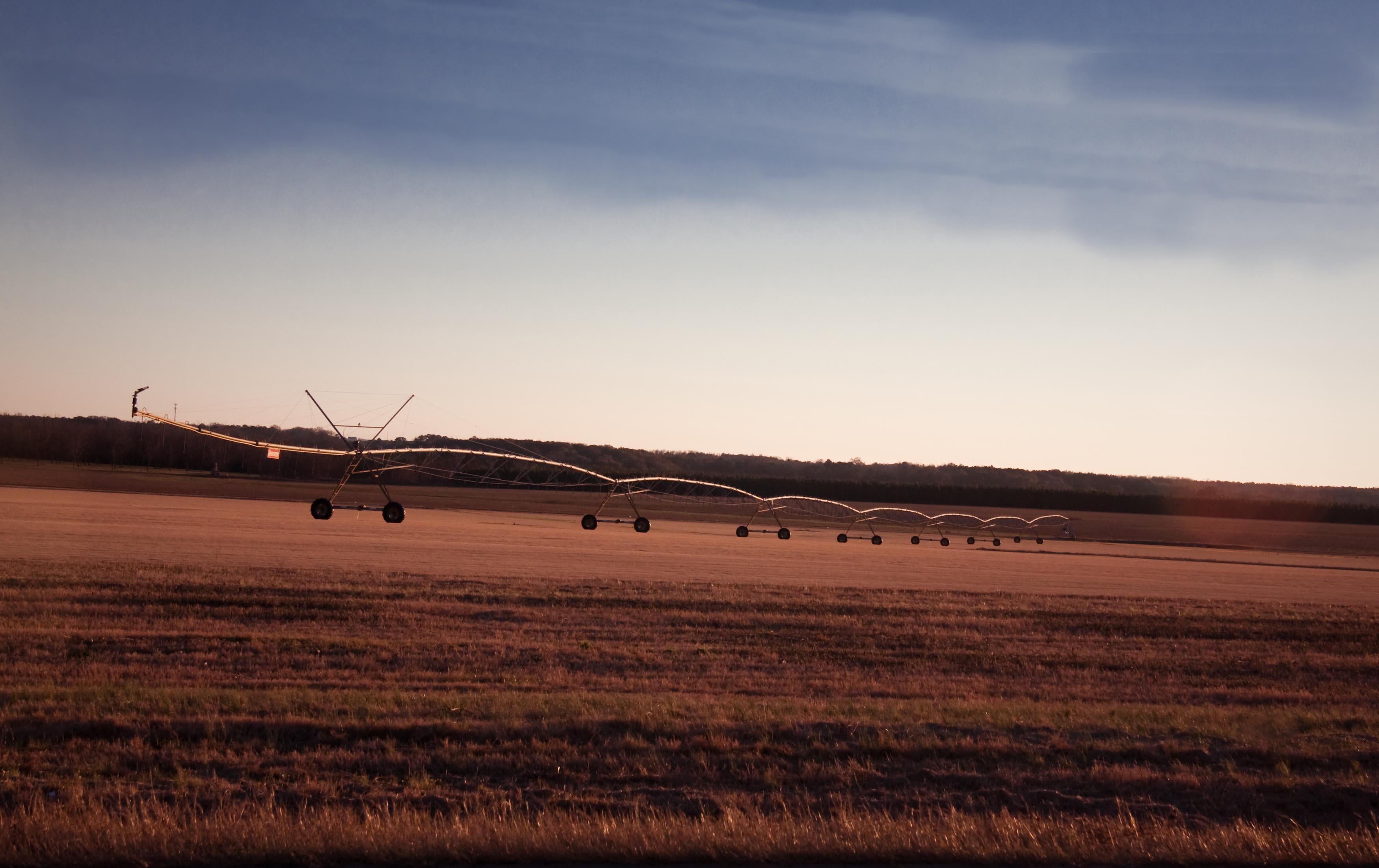
Georgia Country Living

Georgia I75nb exit 144

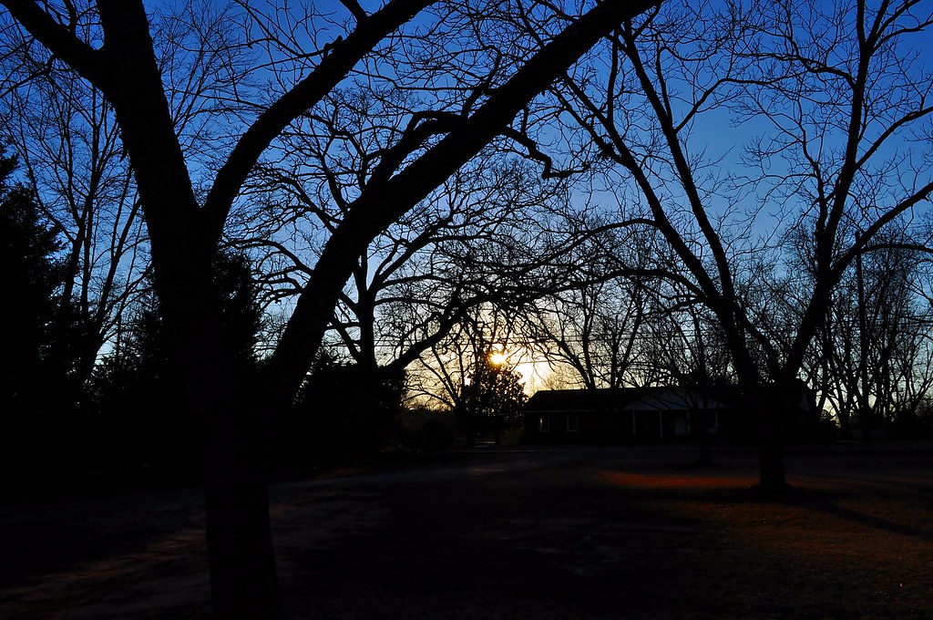
Sunset 1

Beautiful Day
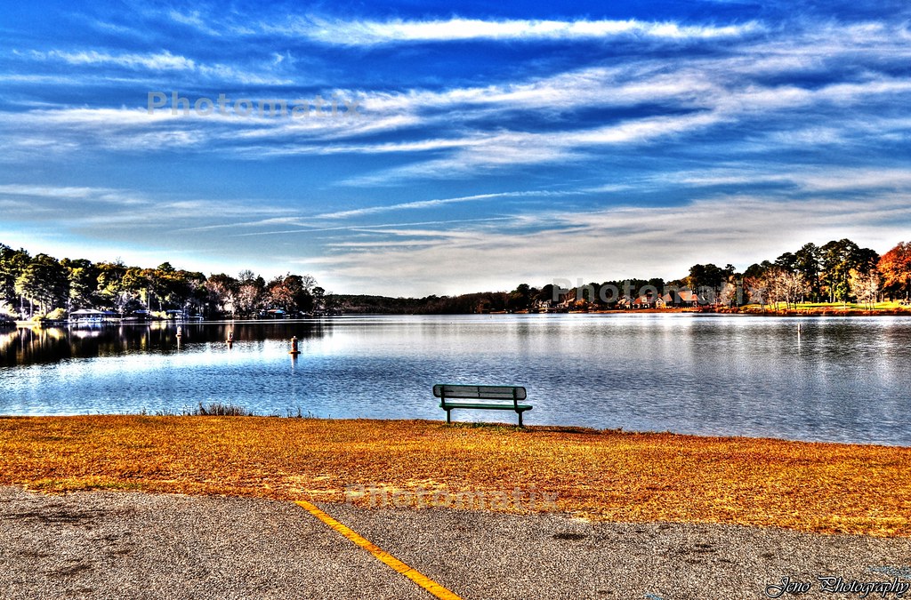
Houston Lake HDR

Tree shopping.
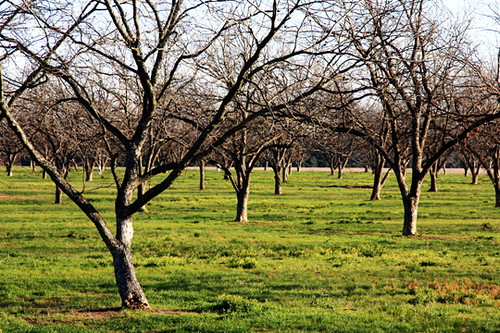
Orchard in Early Spring

Shine On
In case you're looking for it.
Sunset 2
Leverett Cemetery Gate

It's a Star Trek kind of evening. @AuLu #IntoDarkness
Fall Trees
Houston Lake
Waiting for Spring
Topographic Map of Gunn Rd, Byron, GA, USA
Find elevation by address:

Places near Gunn Rd, Byron, GA, USA:
103 Carrington Ln
106 Jessica Ct
111 Montview Way
204 Tivoli Park Rd
Water Drive
Tharpe Rd, Warner Robins, GA, USA
659 Kay Rd
Brian Dr, Warner Robins, GA, USA
W Heritage St, Byron, GA, USA
Byron
Centerville
Wellington Way, Warner Robins, GA, USA
126 Millbrook Dr
362 Etowah Dr
Mack Ln, Warner Robins, GA, USA
410 Southland Trail
E Seminole Dr, Byron, GA, USA
Interstate 75
Asbell Way, Centerville, GA, USA
Resort Dr, Warner Robins, GA, USA
Recent Searches:
- Elevation of Elwyn Dr, Roanoke Rapids, NC, USA
- Elevation of Congressional Dr, Stevensville, MD, USA
- Elevation of Bellview Rd, McLean, VA, USA
- Elevation of Stage Island Rd, Chatham, MA, USA
- Elevation of Shibuya Scramble Crossing, 21 Udagawacho, Shibuya City, Tokyo -, Japan
- Elevation of Jadagoniai, Kaunas District Municipality, Lithuania
- Elevation of Pagonija rock, Kranto 7-oji g. 8"N, Kaunas, Lithuania
- Elevation of Co Rd 87, Jamestown, CO, USA
- Elevation of Tenjo, Cundinamarca, Colombia
- Elevation of Côte-des-Neiges, Montreal, QC H4A 3J6, Canada