Elevation of Gum Pond Township, AR, USA
Location: United States > Arkansas > Arkansas County >
Longitude: -91.540232
Latitude: 34.5210155
Elevation: 66m / 217feet
Barometric Pressure: 101KPa
Elevation Map:
Satellite Map:
Related Photos:

Z11_4749

Z11_4753

Triticum aestivum
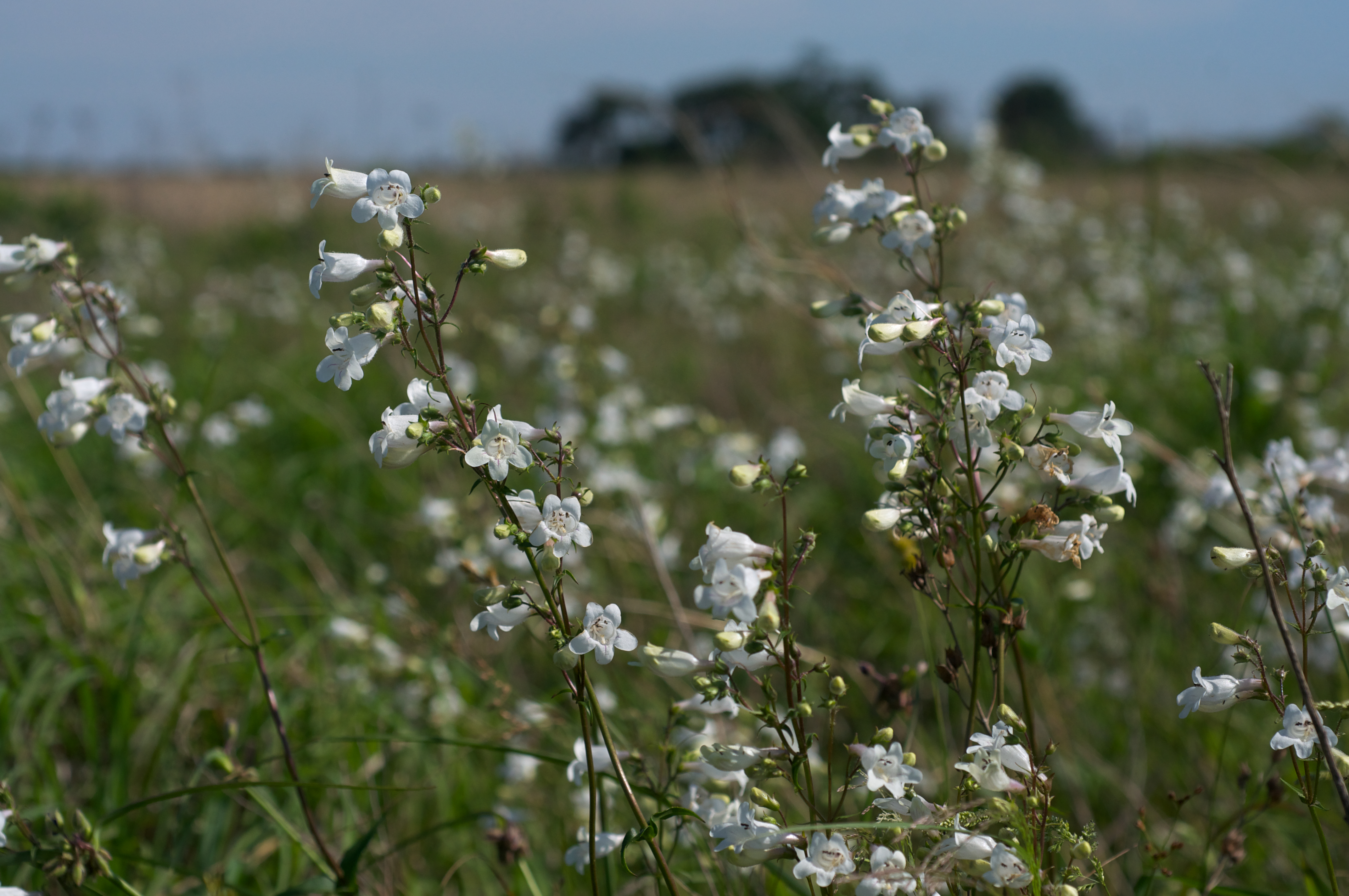
Penstemon digitalis
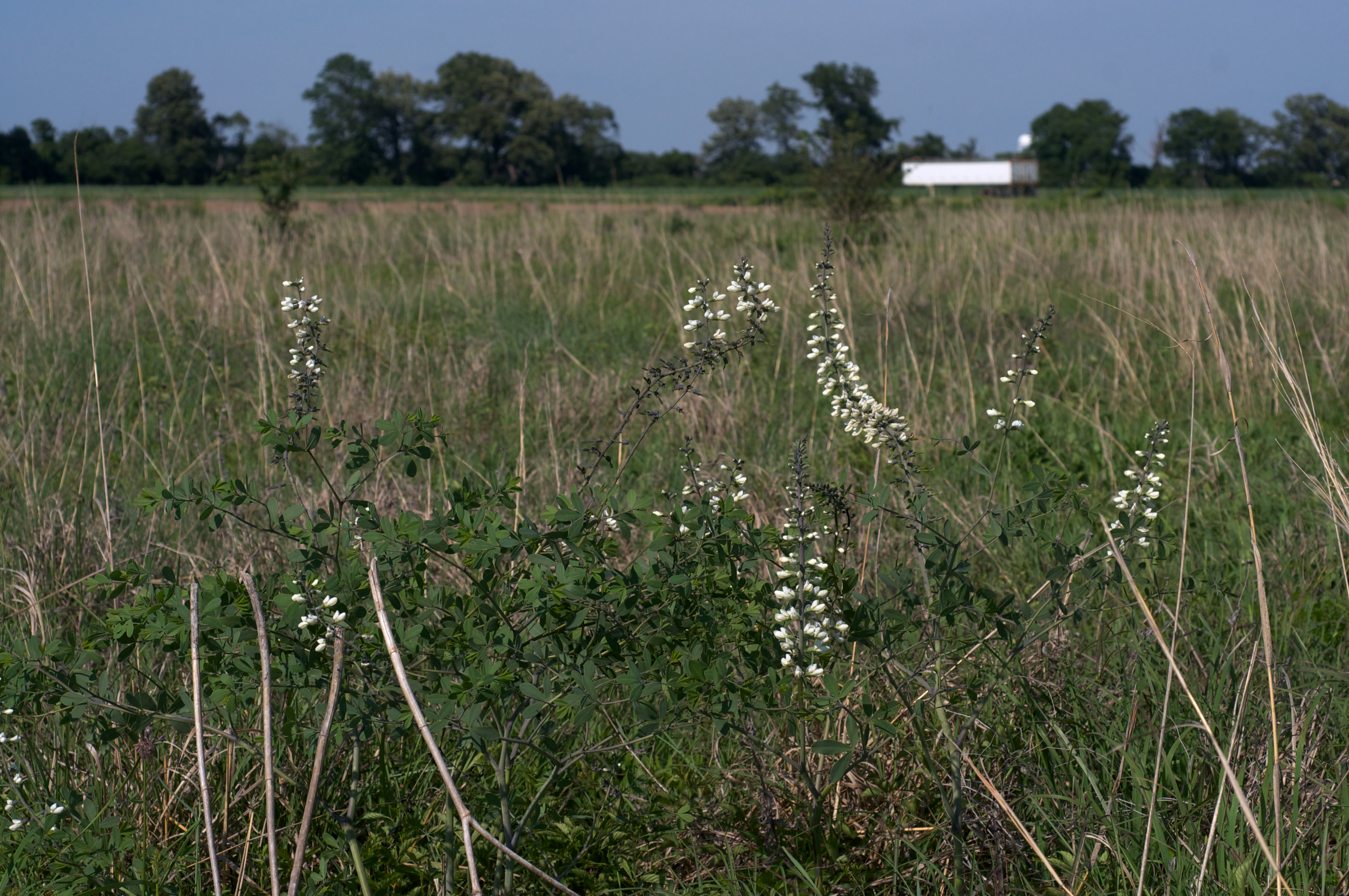
Baptisia alba var. macrophylla

IMG_0413 (2)
IMG_0415 (2)
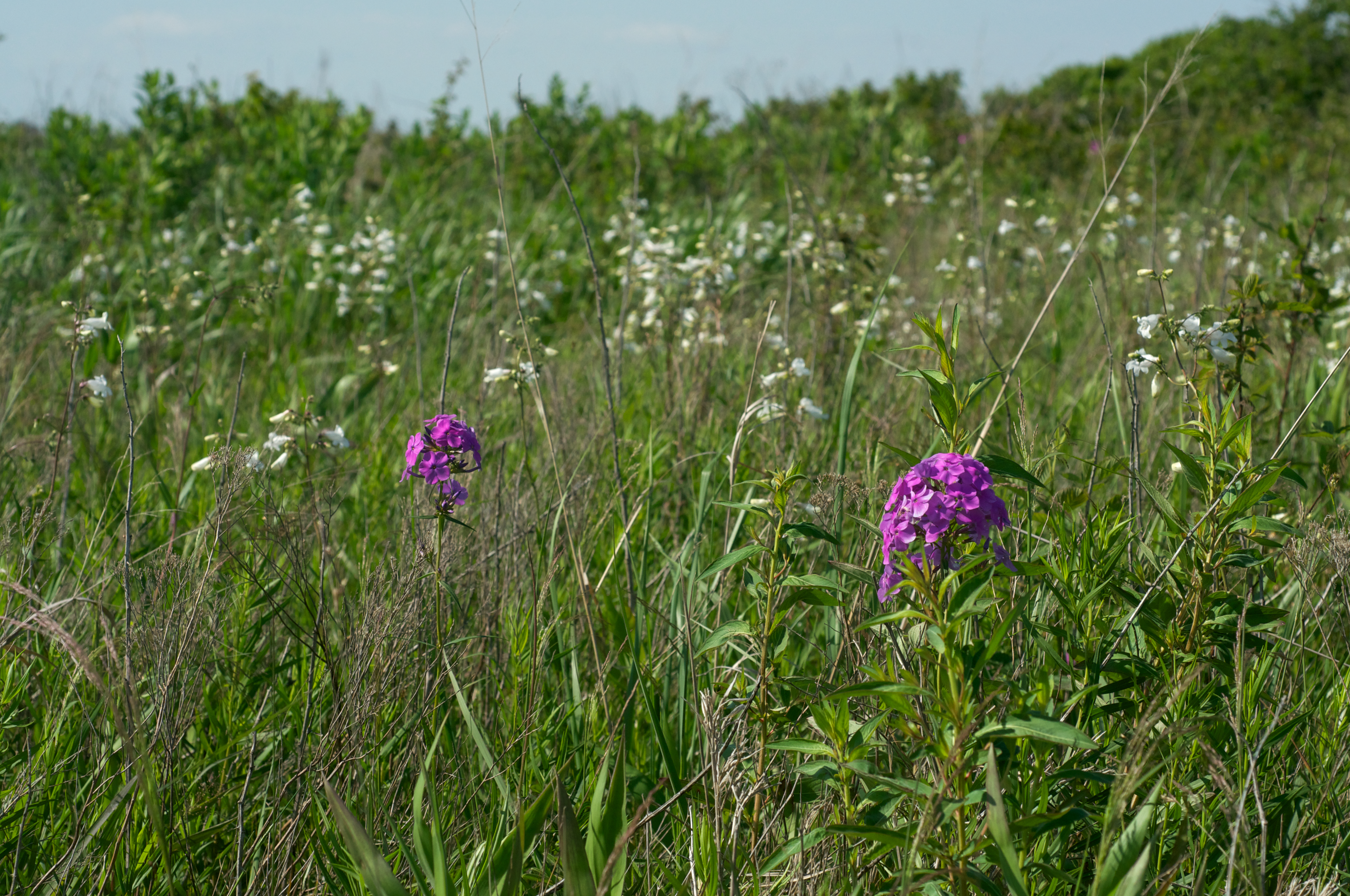
Phlox glaberrima
IMG_0414 (2)
IMG_0411 (2)
Topographic Map of Gum Pond Township, AR, USA
Find elevation by address:

Places in Gum Pond Township, AR, USA:
Places near Gum Pond Township, AR, USA:
Stuttgart
S Main St, Stuttgart, AR, USA
212 E 17th St
2015 S Main St
S Yoder Rd, Stuttgart, AR, USA
98 Goldman Loop, Stuttgart, AR, USA
N Main, Stuttgart, AR, USA
Morris Township
Mill Bayou Township
AR-86, Hazen, AR, USA
Holdridge Rd, Almyra, AR, USA
Isbell Township
Snake Island Rd, Carlisle, AR, USA
Almyra
Main, Almyra, AR, USA
Garland Township
AR-13, Humnoke, AR, USA
Humnoke
US-, Stuttgart, AR, USA
Olena Rd, Almyra, AR, USA
Recent Searches:
- Elevation of Sattva Horizon, 4JC6+G9P, Vinayak Nagar, Kattigenahalli, Bengaluru, Karnataka, India
- Elevation of Great Brook Sports, Gold Star Hwy, Groton, CT, USA
- Elevation of 10 Mountain Laurels Dr, Nashua, NH, USA
- Elevation of 16 Gilboa Ln, Nashua, NH, USA
- Elevation of Laurel Rd, Townsend, TN, USA
- Elevation of 3 Nestling Wood Dr, Long Valley, NJ, USA
- Elevation of Ilungu, Tanzania
- Elevation of Yellow Springs Road, Yellow Springs Rd, Chester Springs, PA, USA
- Elevation of Rēzekne Municipality, Latvia
- Elevation of Plikpūrmaļi, Vērēmi Parish, Rēzekne Municipality, LV-, Latvia