Elevation of Gum Branch Rd, Jacksonville, NC, USA
Location: United States > North Carolina > Onslow County > Jacksonville > Jacksonville >
Longitude: -77.414102
Latitude: 34.7796104
Elevation: 10m / 33feet
Barometric Pressure: 101KPa
Elevation Map:
Satellite Map:
Related Photos:

New River Sunrise

Camp Lejune All Points Inn
Tangled Banks
Lightning Bug. Not.
Morning White
Through the Tall Grass
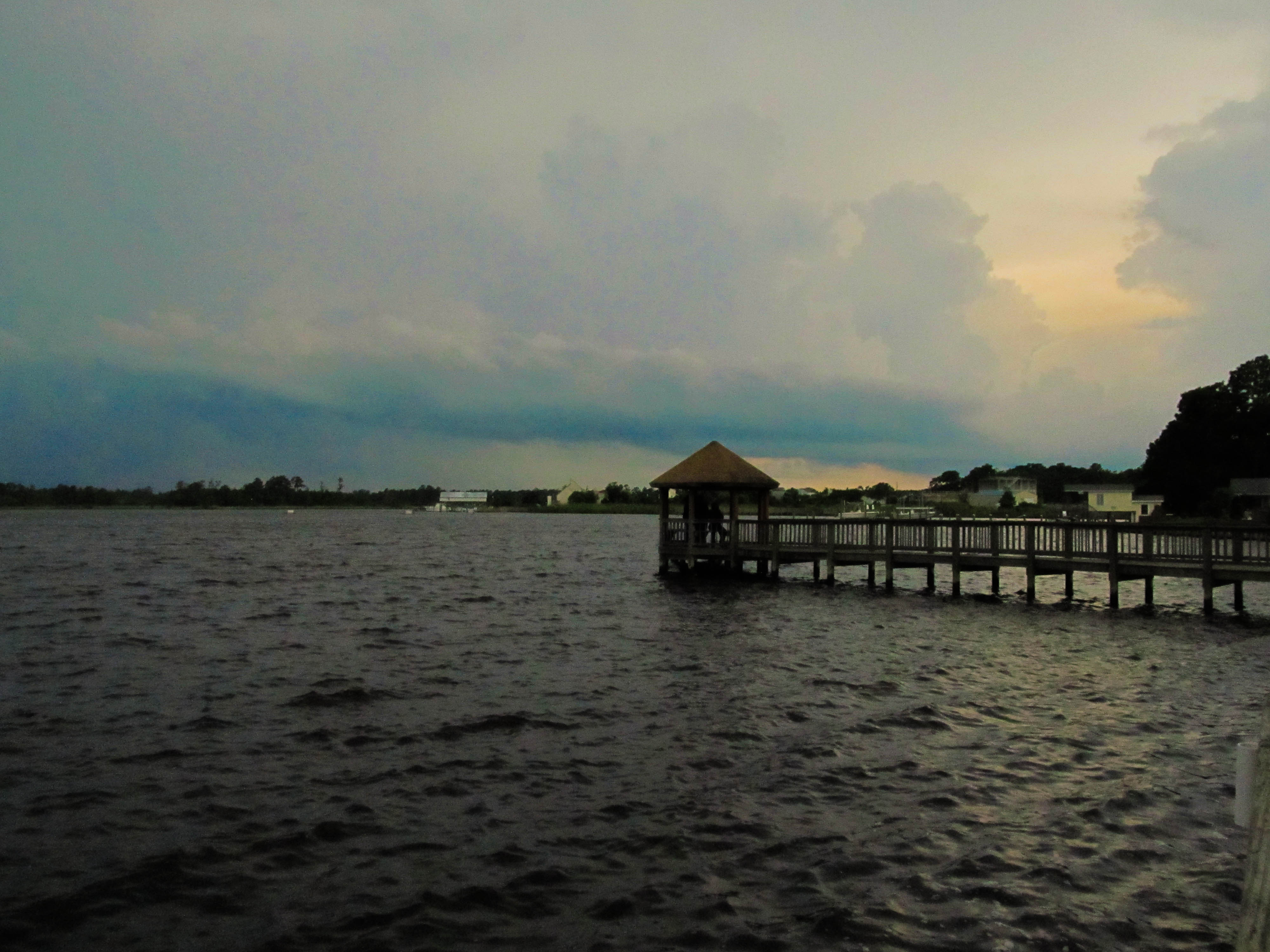
Wilson Bay Gazebo
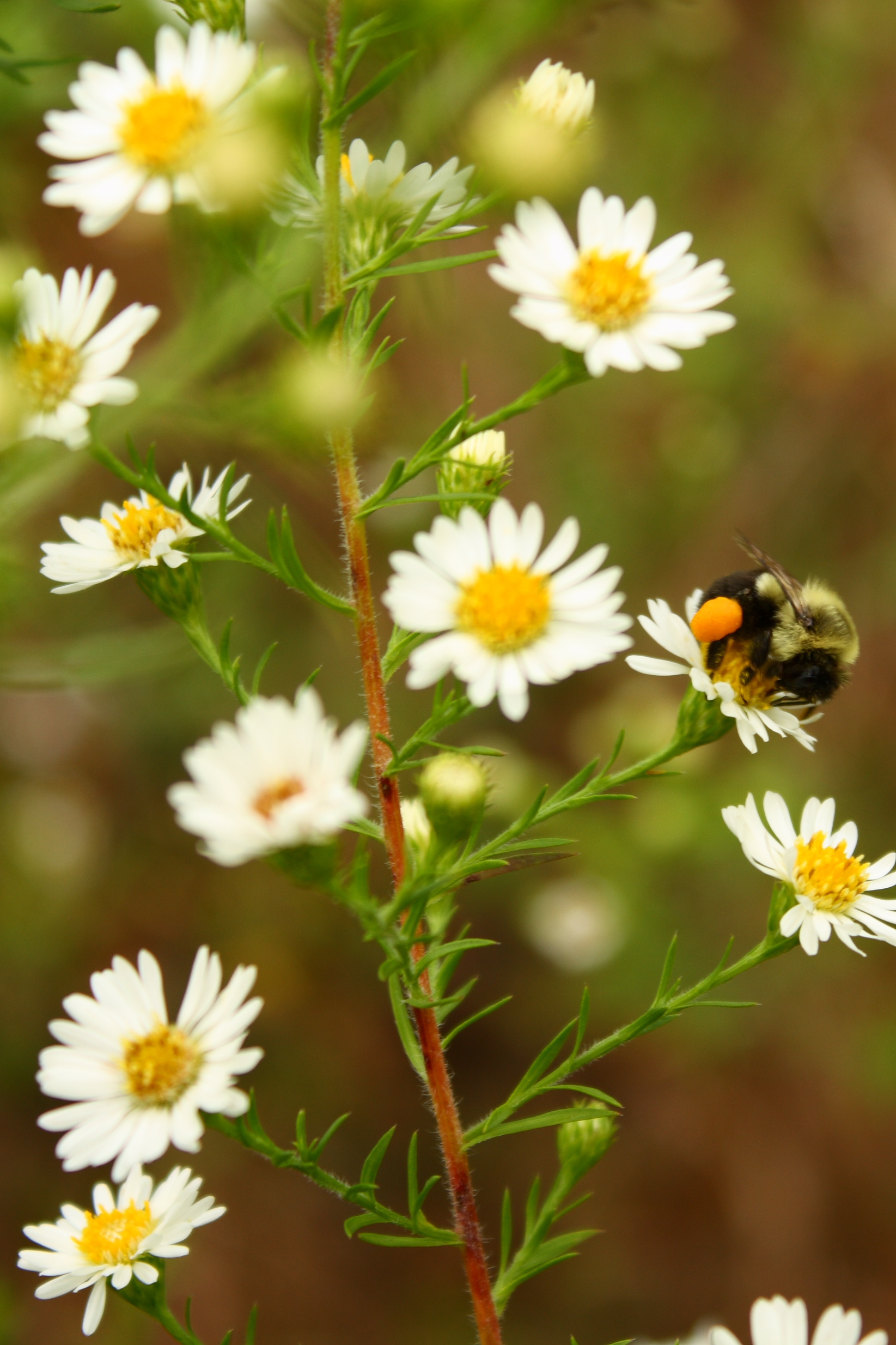
Bumble Preggo
Media-09-3Wed-0105 050
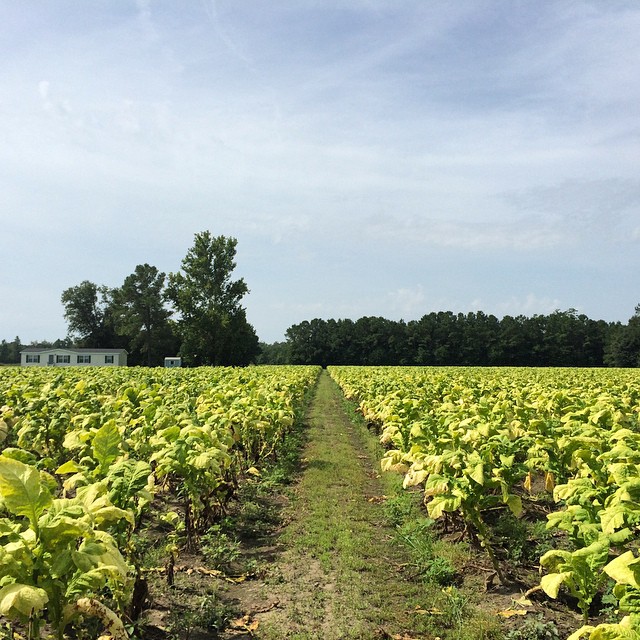
Tobacco Road
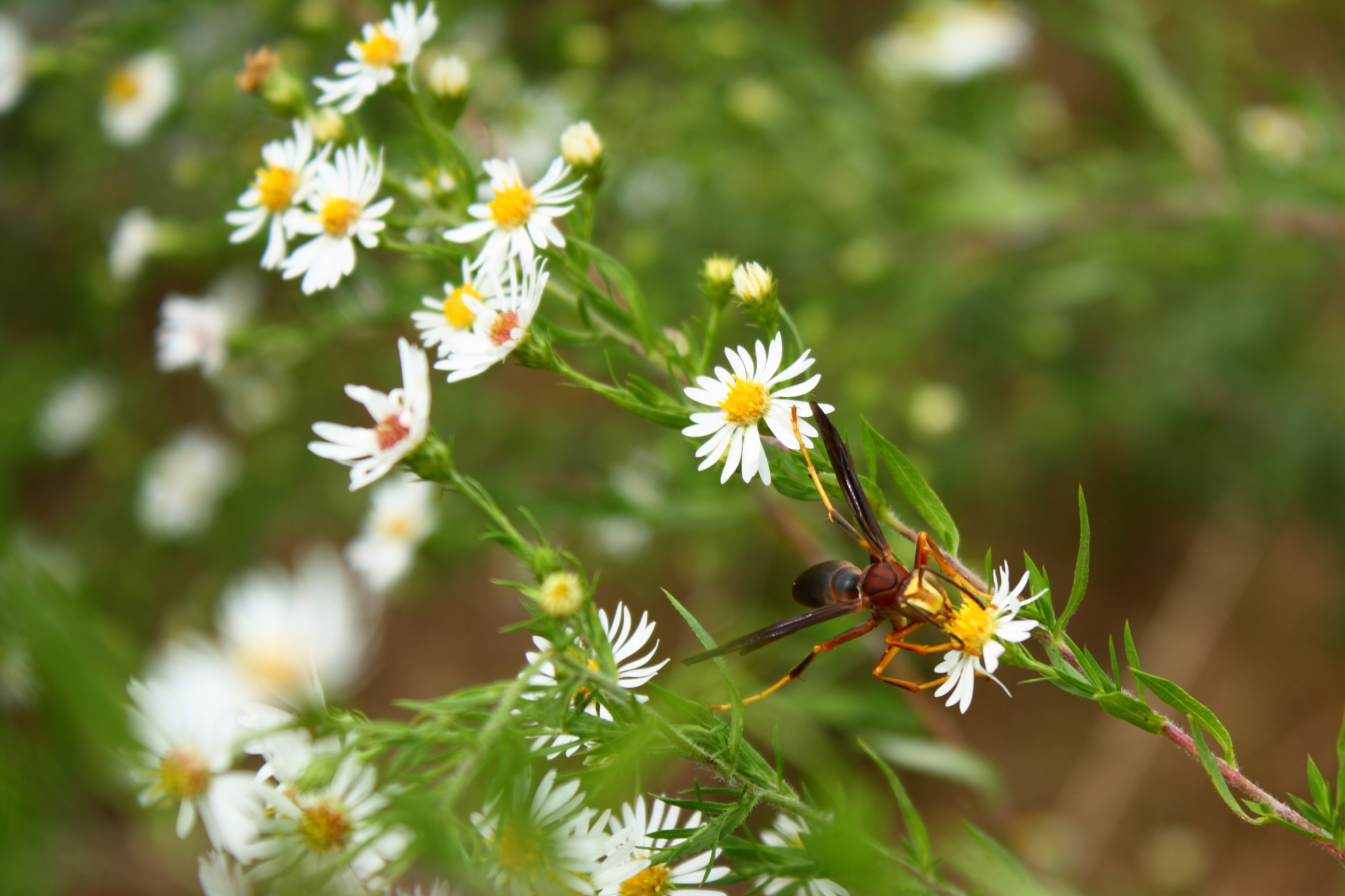
Male Paper Wasp
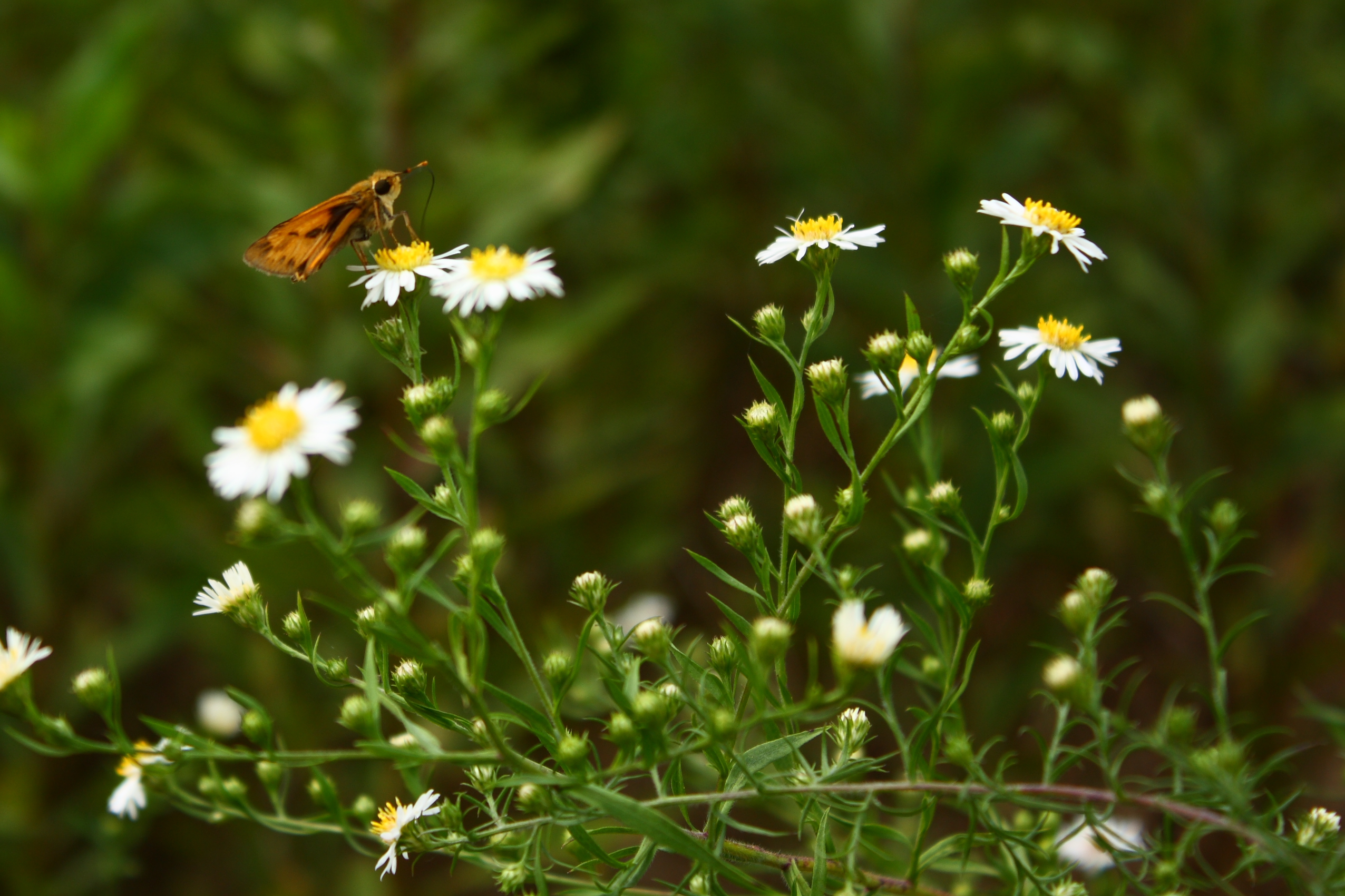
Orange and Brown Skipper

Media-09-3Wed-0110 036
Oak Hurst
What is wrong with this picture?

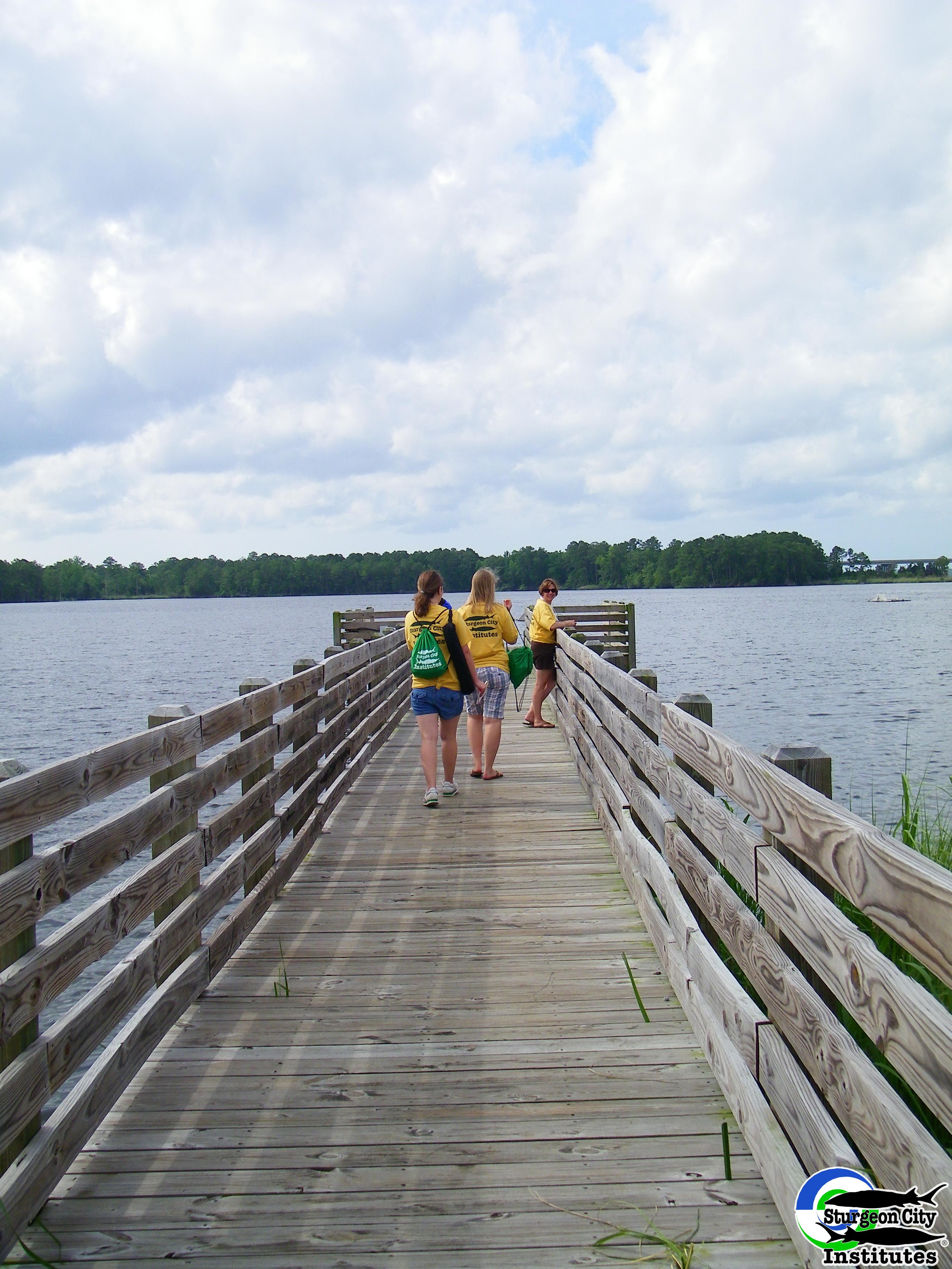
Dock at New River
North Carolina
North Carolina
Topographic Map of Gum Branch Rd, Jacksonville, NC, USA
Find elevation by address:

Places near Gum Branch Rd, Jacksonville, NC, USA:
22 Brenda Dr
22 Brenda Dr
Gattis Rd, Jacksonville, NC, USA
200 Carmen Ave
1109 River St
1407 Davis St
Cardinal Village
1955 N Marine Blvd
1009 Foscue Dr
4250 Western Blvd
1815a Hargett St
Bell Fork Rd, Jacksonville, NC, USA
2055 N Marine Blvd
5077 Western Blvd
Christine Ave, Jacksonville, NC, USA
Hargett Street
Brentwood Avenue
Jacksonville
Furniture Fair
Harvest Drive
Recent Searches:
- Elevation of Elwyn Dr, Roanoke Rapids, NC, USA
- Elevation of Congressional Dr, Stevensville, MD, USA
- Elevation of Bellview Rd, McLean, VA, USA
- Elevation of Stage Island Rd, Chatham, MA, USA
- Elevation of Shibuya Scramble Crossing, 21 Udagawacho, Shibuya City, Tokyo -, Japan
- Elevation of Jadagoniai, Kaunas District Municipality, Lithuania
- Elevation of Pagonija rock, Kranto 7-oji g. 8"N, Kaunas, Lithuania
- Elevation of Co Rd 87, Jamestown, CO, USA
- Elevation of Tenjo, Cundinamarca, Colombia
- Elevation of Côte-des-Neiges, Montreal, QC H4A 3J6, Canada