Elevation map of Gulu, Uganda
Location: Uganda > Northern Region >
Longitude: 32.4467238
Latitude: 2.8185776
Elevation: 1039m / 3409feet
Barometric Pressure: 89KPa
Elevation Map:
Satellite Map:
Related Photos:

P1010277
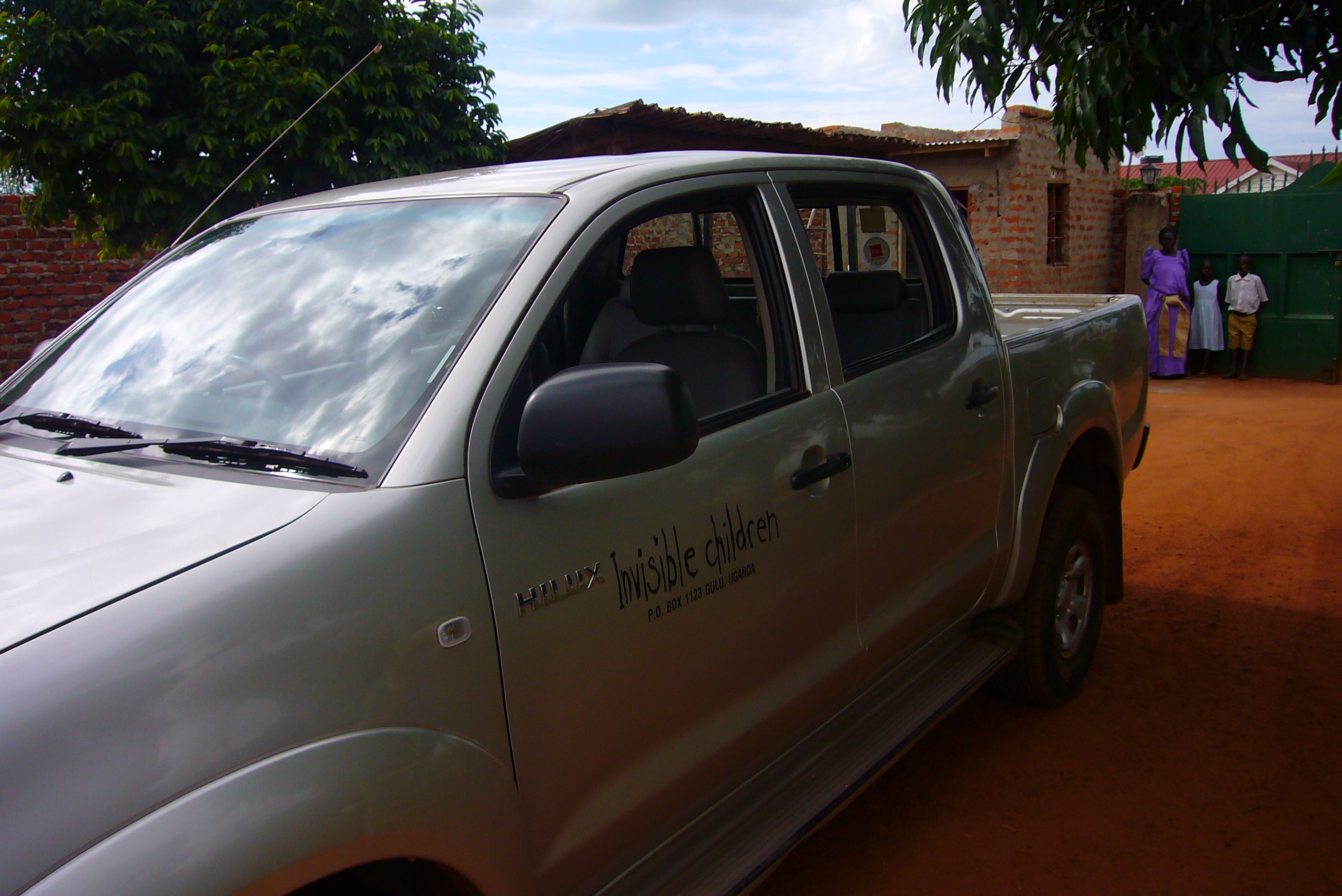
P1010276

P1010268

P1010257
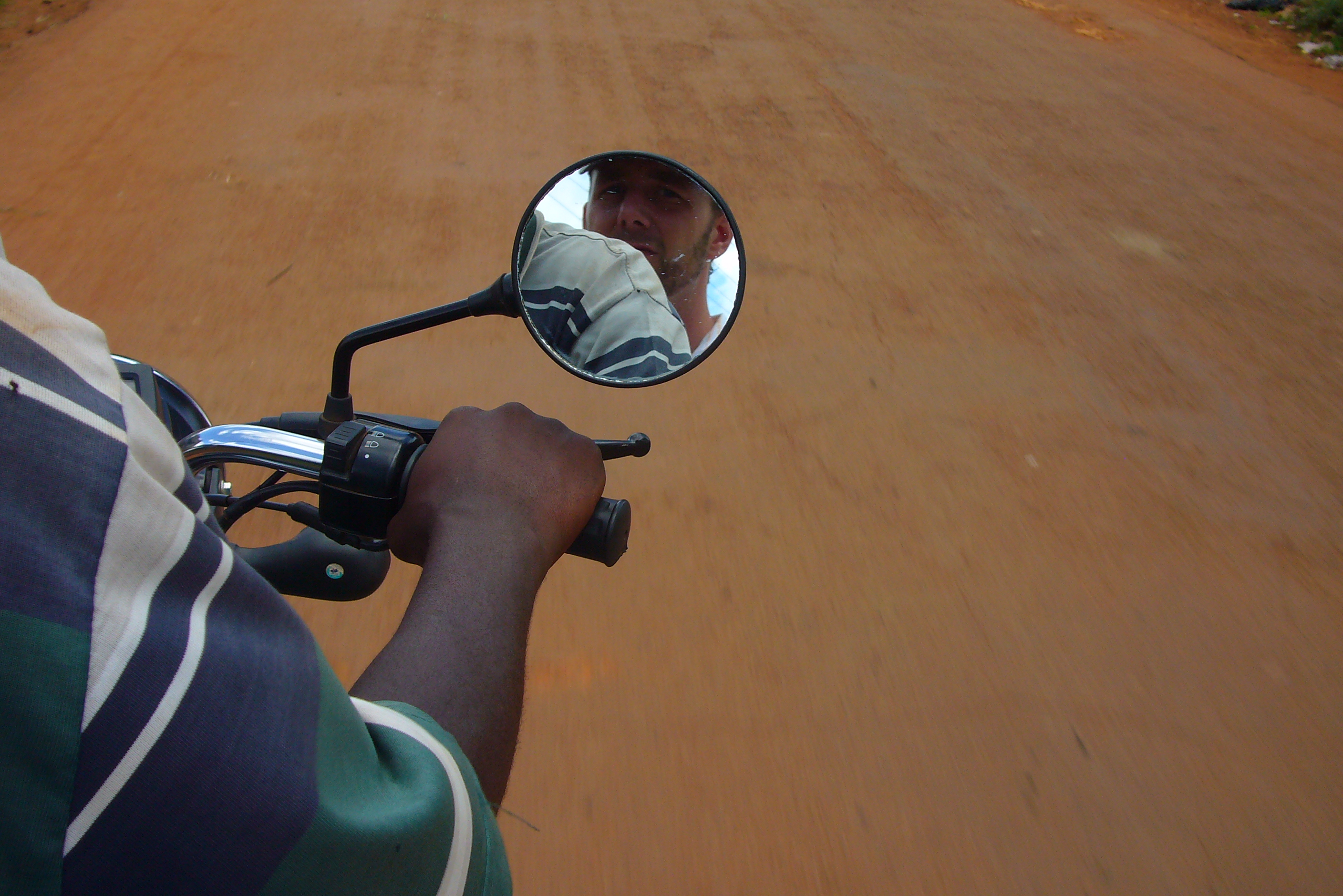
P1010245

P1010240
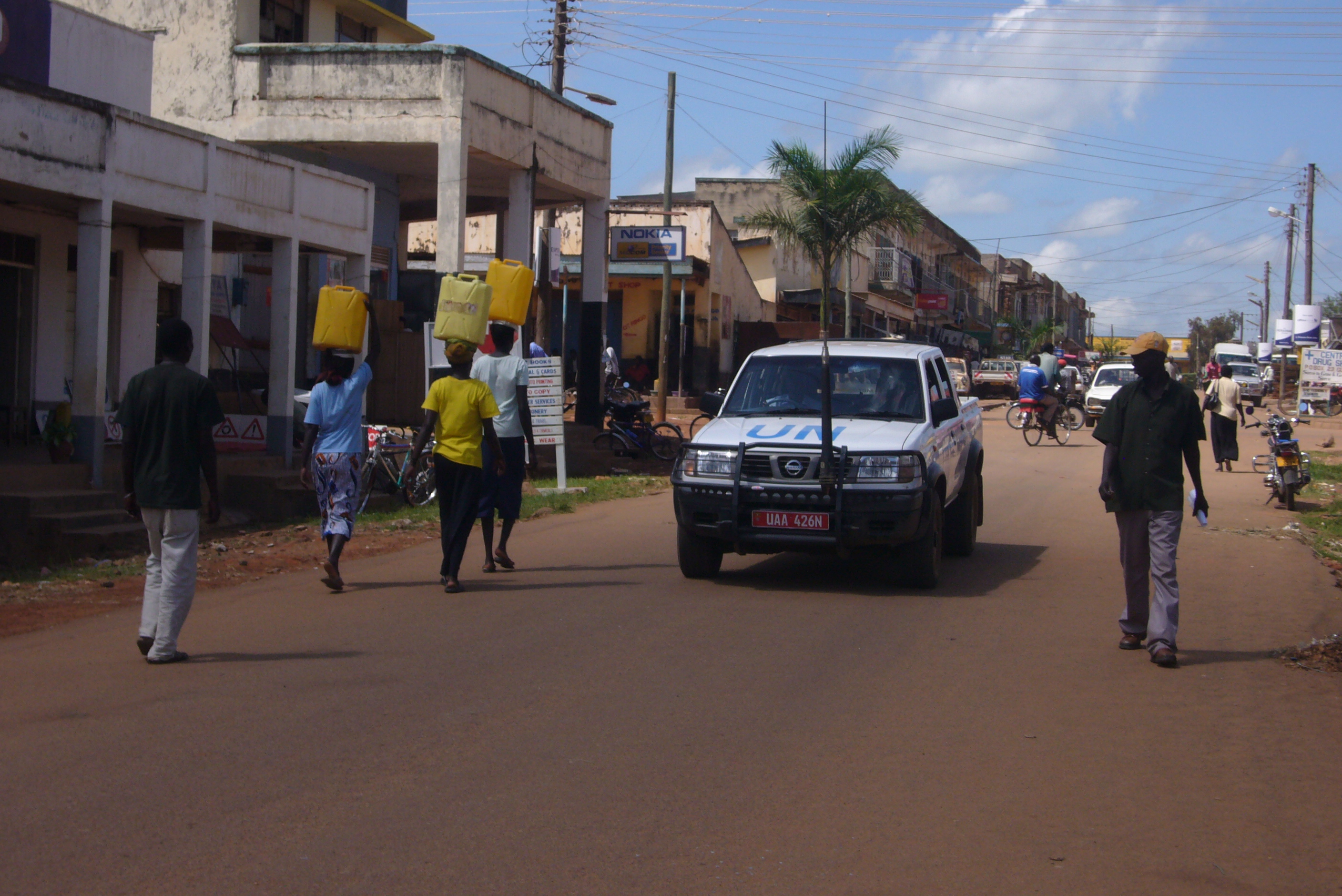
P1010239
Topographic Map of Gulu, Uganda
Find elevation by address:

Places in Gulu, Uganda:
Places near Gulu, Uganda:
Recent Searches:
- Elevation of Corso Fratelli Cairoli, 35, Macerata MC, Italy
- Elevation of Tallevast Rd, Sarasota, FL, USA
- Elevation of 4th St E, Sonoma, CA, USA
- Elevation of Black Hollow Rd, Pennsdale, PA, USA
- Elevation of Oakland Ave, Williamsport, PA, USA
- Elevation of Pedrógão Grande, Portugal
- Elevation of Klee Dr, Martinsburg, WV, USA
- Elevation of Via Roma, Pieranica CR, Italy
- Elevation of Tavkvetili Mountain, Georgia
- Elevation of Hartfords Bluff Cir, Mt Pleasant, SC, USA