Elevation of Gull River, Ontario, Canada
Location: Canada > Ontario > Haliburton County > Minden Hills >
Longitude: -78.811876
Latitude: 44.7591531
Elevation: 274m / 899feet
Barometric Pressure: 98KPa
Elevation Map:
Satellite Map:
Related Photos:
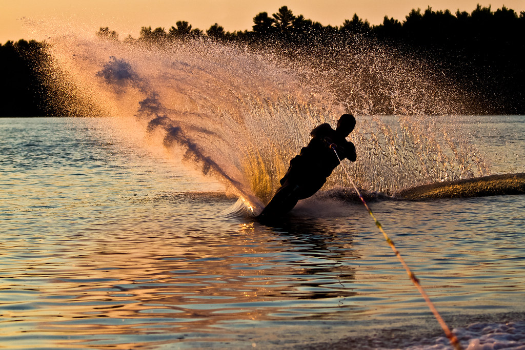
Water ski silhouette
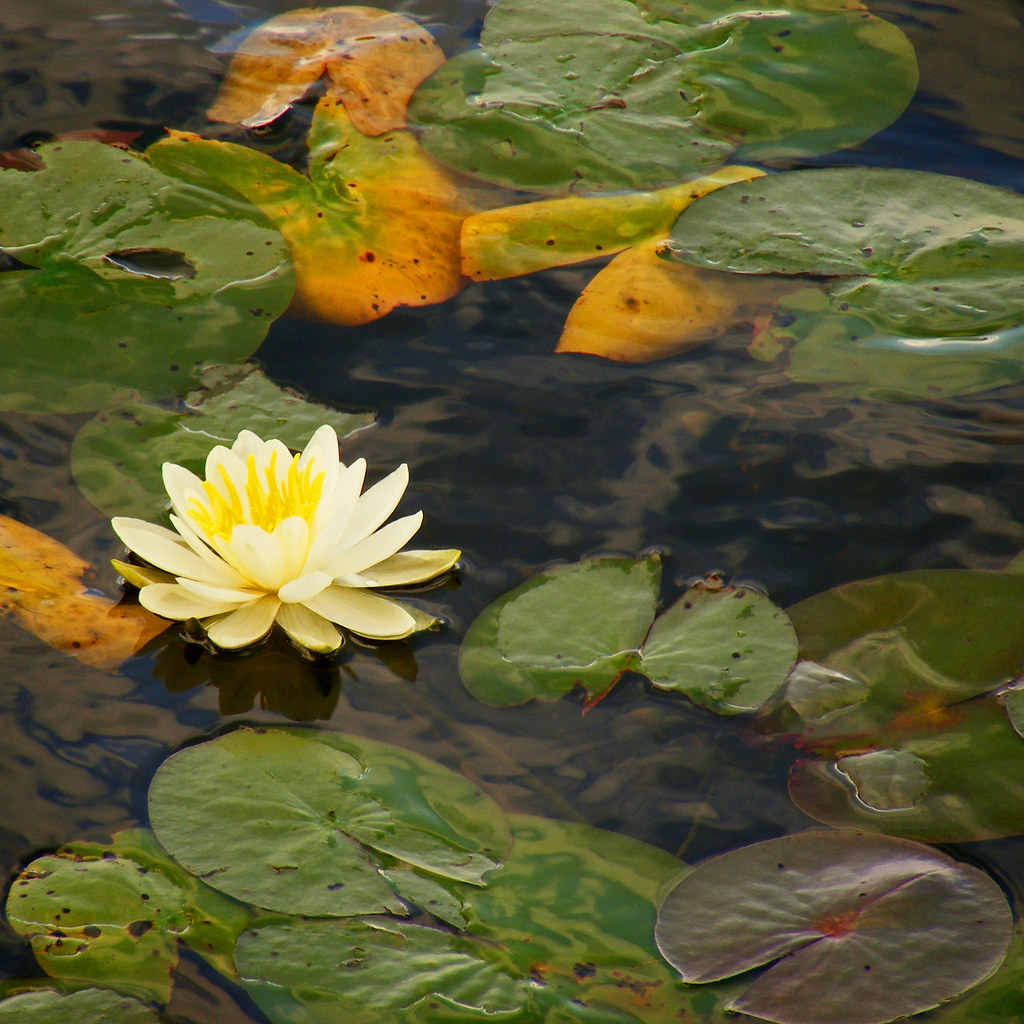
Water Lily

Norland Food Market

black waters of Norland

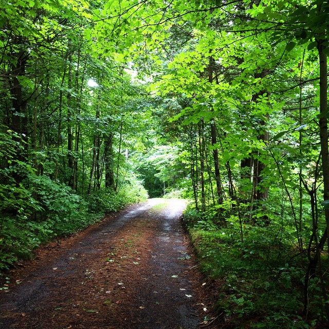
On the path

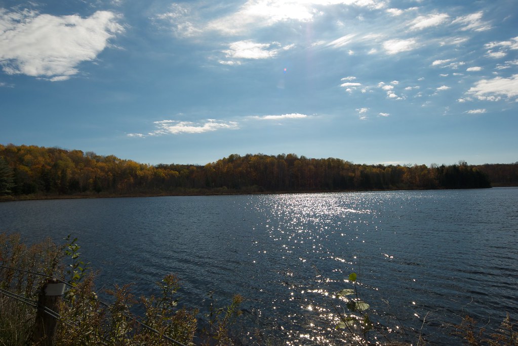
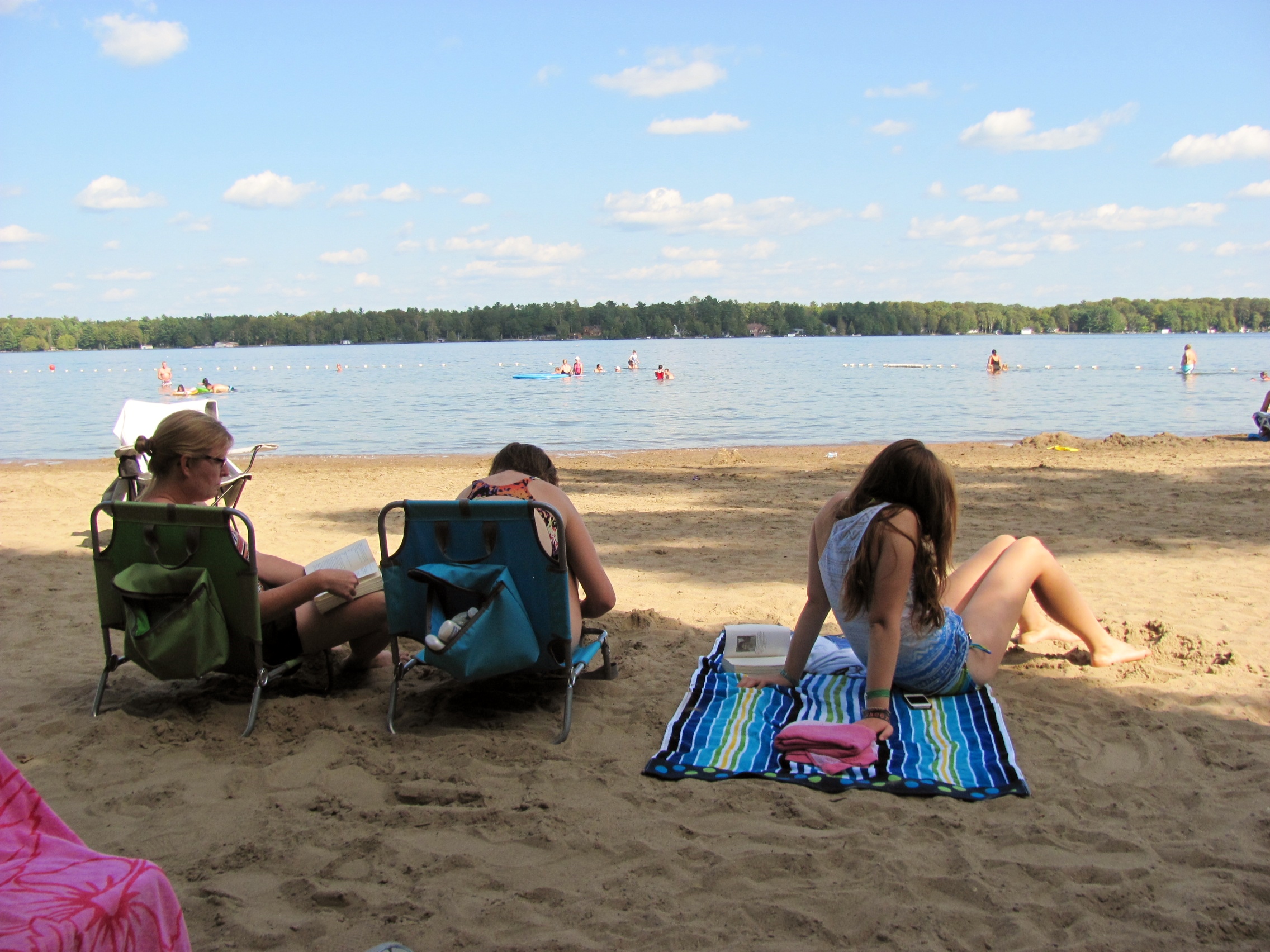
Gull Lake in Ontario Canada

black waters of Norland
Black Lake - Muskoka's - Sunset
Round Lake
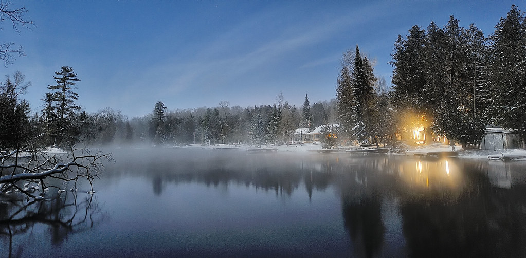
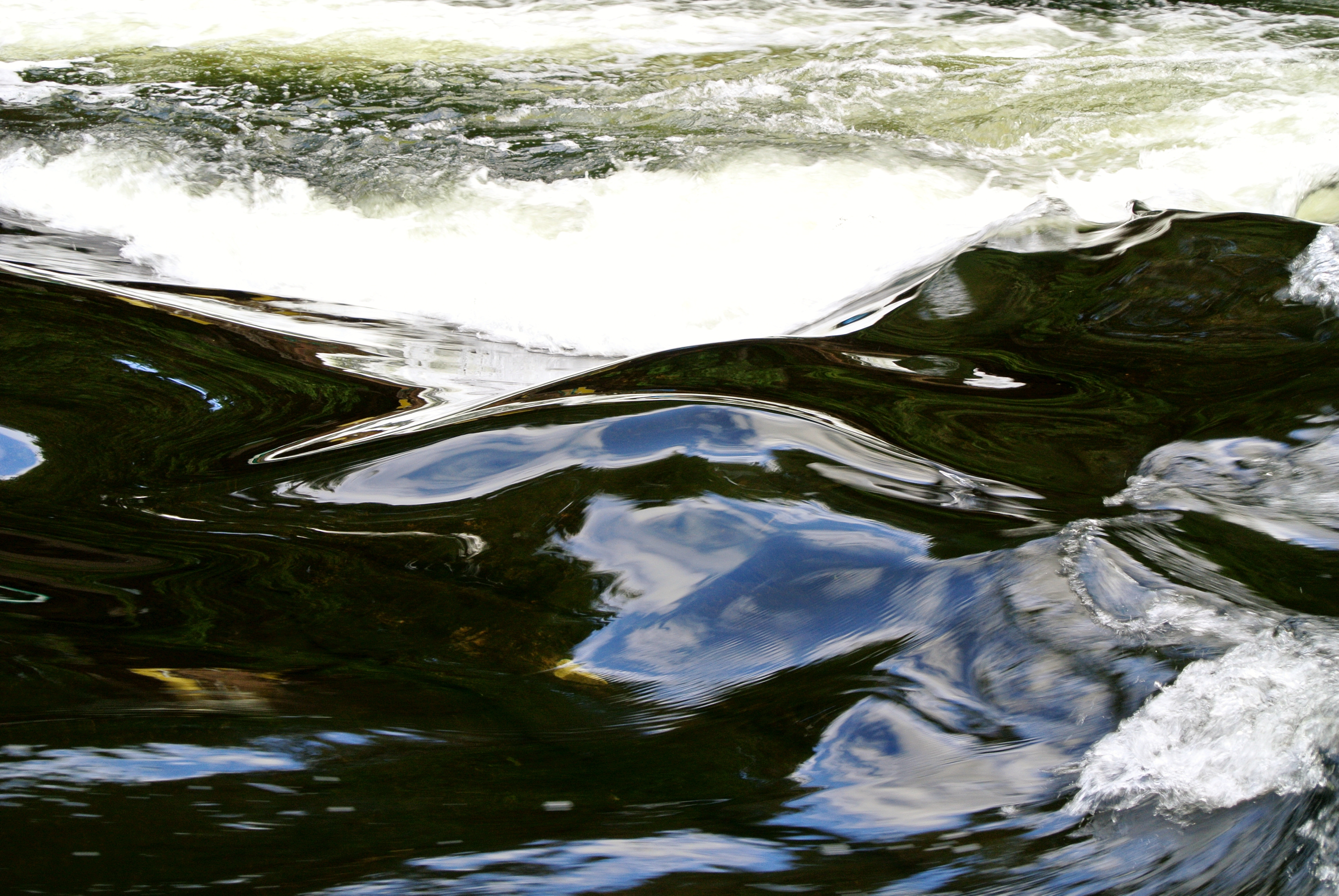
Winter River at Night
old mill

setting out for home #cottagesnippets
#nature #forest #trees #outdoors #green #plants #cottage #road #getaway #weekend
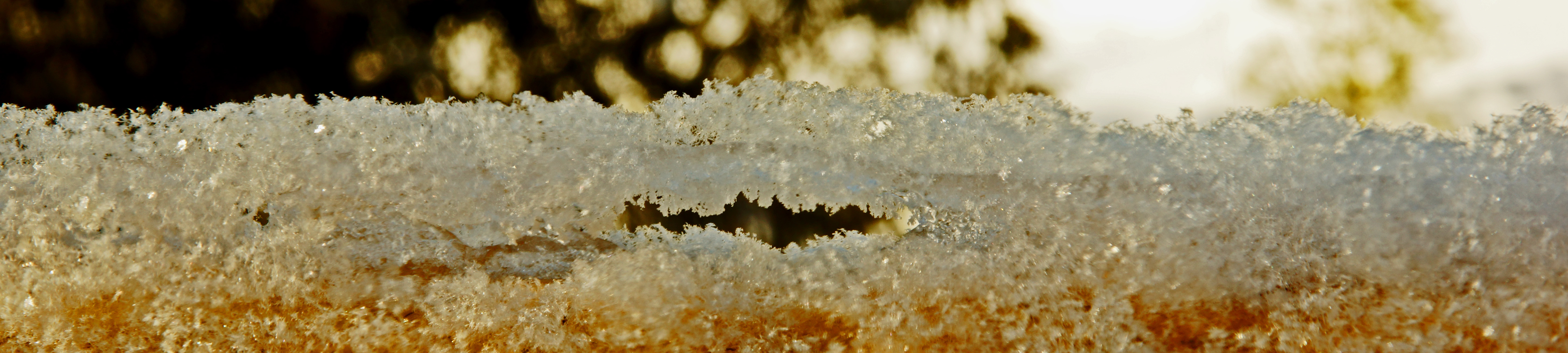
macro fun
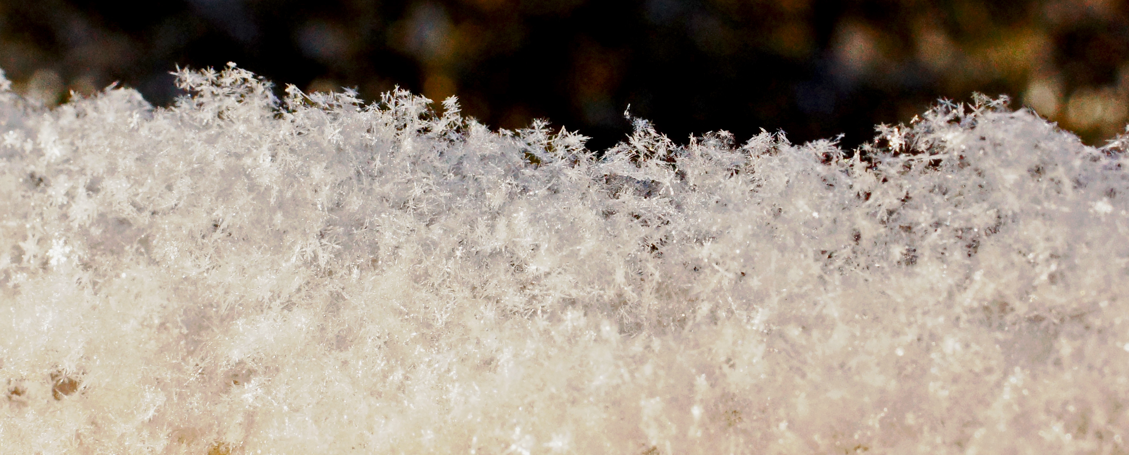
macro funn

sunlight through the woods

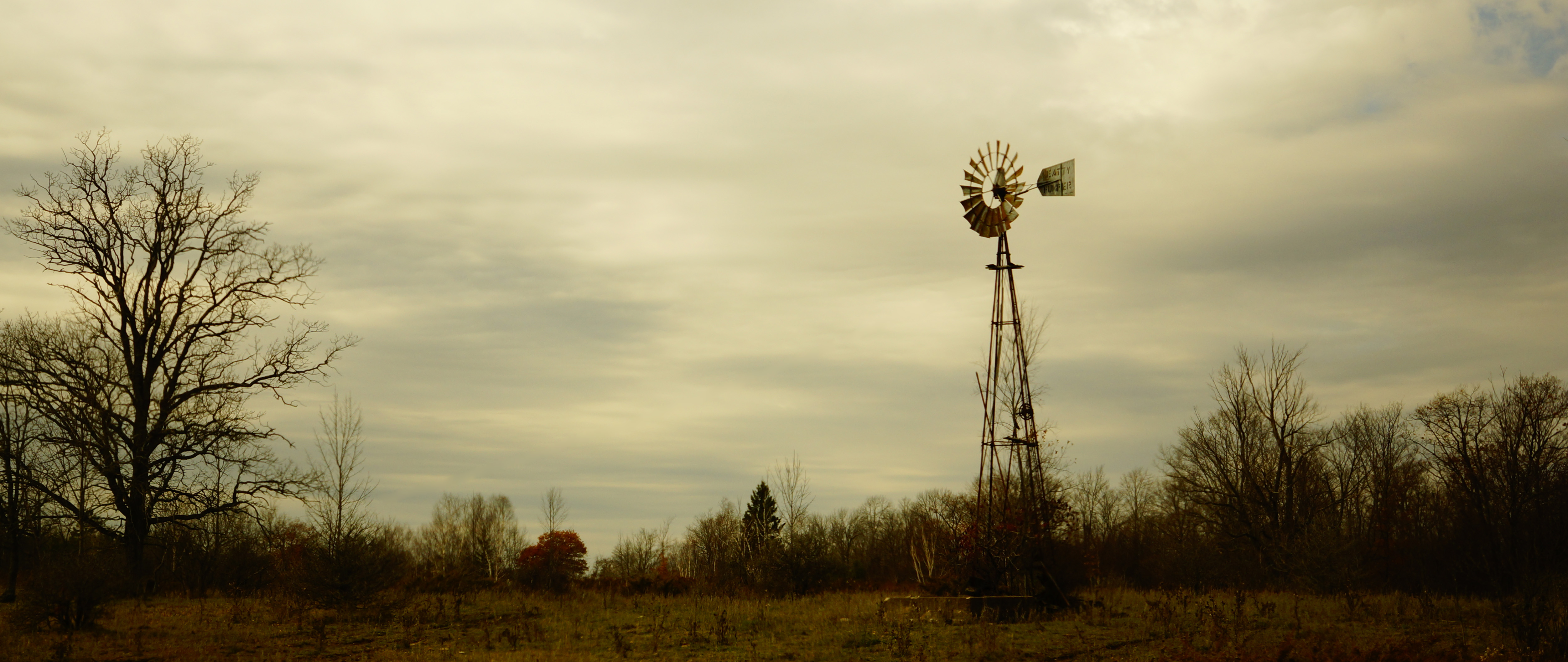
on the other side

touching the sky
Little Water Fall Near Kinmount

summer day
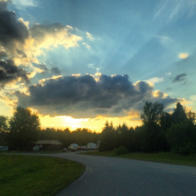
For @misshoax. Beautiful #sunset at Balsam Lake.
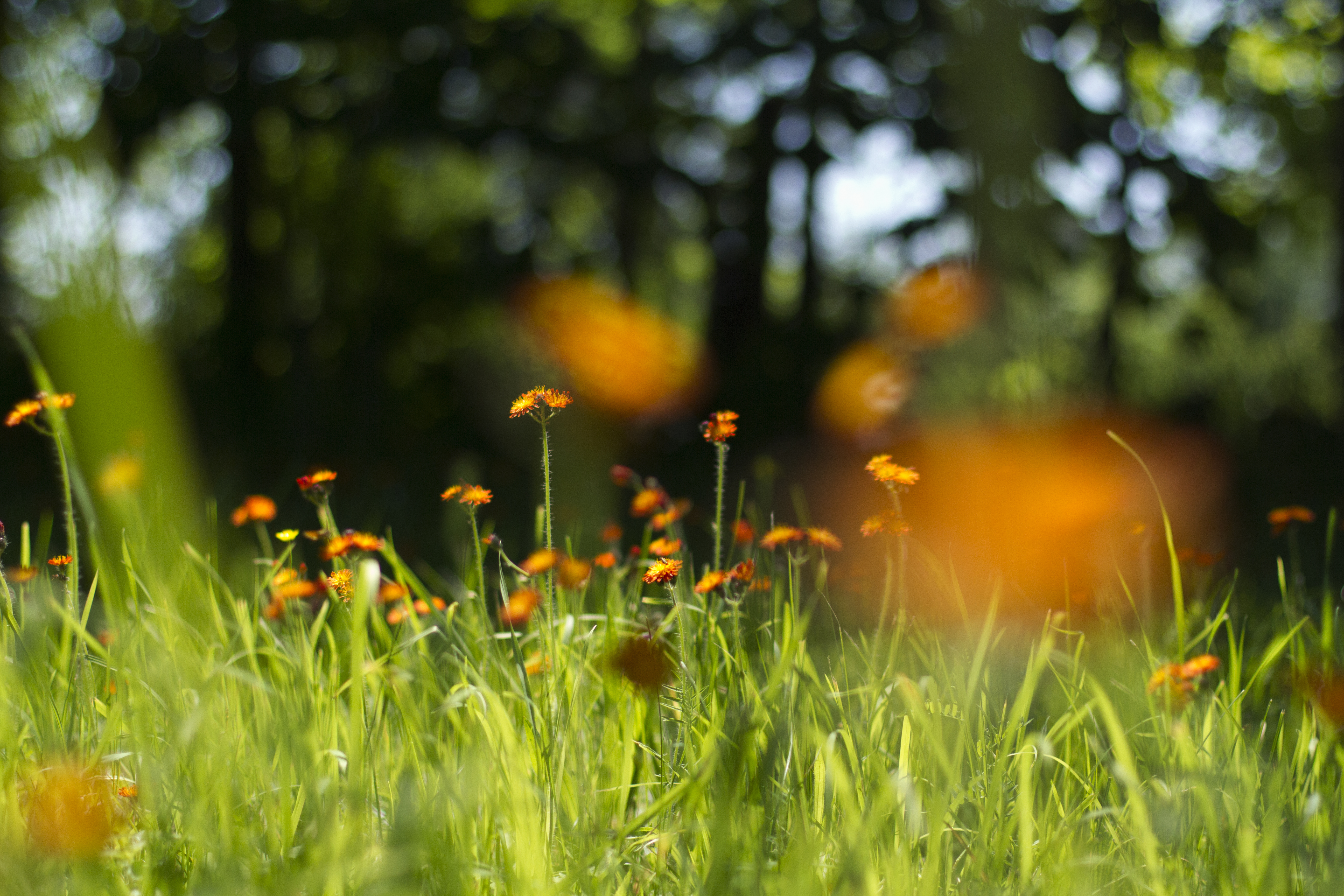
summer flowers
Camping with Sharon
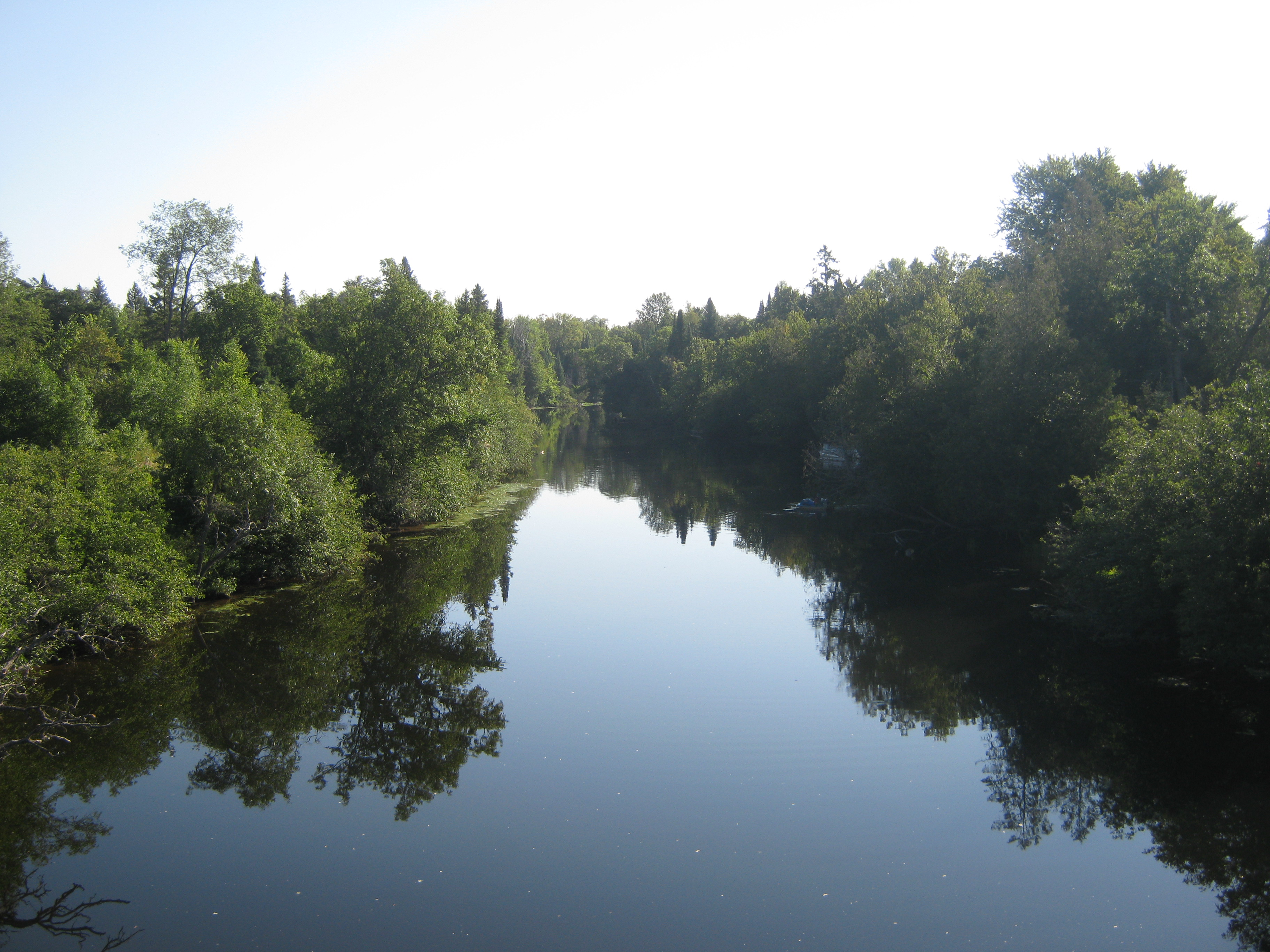
Gull River
Topographic Map of Gull River, Ontario, Canada
Find elevation by address:

Places near Gull River, Ontario, Canada:
Norland
8709 On-35
8709 On-35
Moore Falls
Learys Ln, Norland, ON K0M 2L1, Canada
1169 Bob Beeney Trail
1169 Bob Beeney Trail
2908 Monck Rd
2351 Davis Lake Rd
Coboconk
Head Lake
Coboconk, Kawartha Lakes, On
60 Everett Rd
5 Chester Ln, Kirkfield, ON K0M 2B0, Canada
56 Greenwood Rd
2238 Kawartha Lakes County Rd 48
Balsam Lake Provincial Park
Bexley
Ontario 35
Tennyson Road
Recent Searches:
- Elevation of Tenjo, Cundinamarca, Colombia
- Elevation of Côte-des-Neiges, Montreal, QC H4A 3J6, Canada
- Elevation of Bobcat Dr, Helena, MT, USA
- Elevation of Zu den Ihlowbergen, Althüttendorf, Germany
- Elevation of Badaber, Peshawar, Khyber Pakhtunkhwa, Pakistan
- Elevation of SE Heron Loop, Lincoln City, OR, USA
- Elevation of Slanický ostrov, 01 Námestovo, Slovakia
- Elevation of Spaceport America, Co Rd A, Truth or Consequences, NM, USA
- Elevation of Warwick, RI, USA
- Elevation of Fern Rd, Whitmore, CA, USA