Elevation of Gulf Shore Dr, Carrabelle, FL, USA
Location: United States > Florida > Franklin County > Carrabelle >
Longitude: -84.599948
Latitude: 29.7996781
Elevation: 6m / 20feet
Barometric Pressure: 101KPa
Elevation Map:
Satellite Map:
Related Photos:
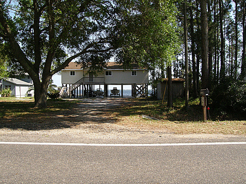
Unique Housing Design on the Florida Gulf Coast near Carrabelle - US98 - Hypotenuse Trail
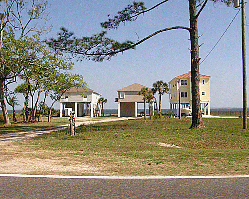
Unique Housing Design on the Florida Gulf Coast near Carrabelle - US98 - Hypotenuse Trail
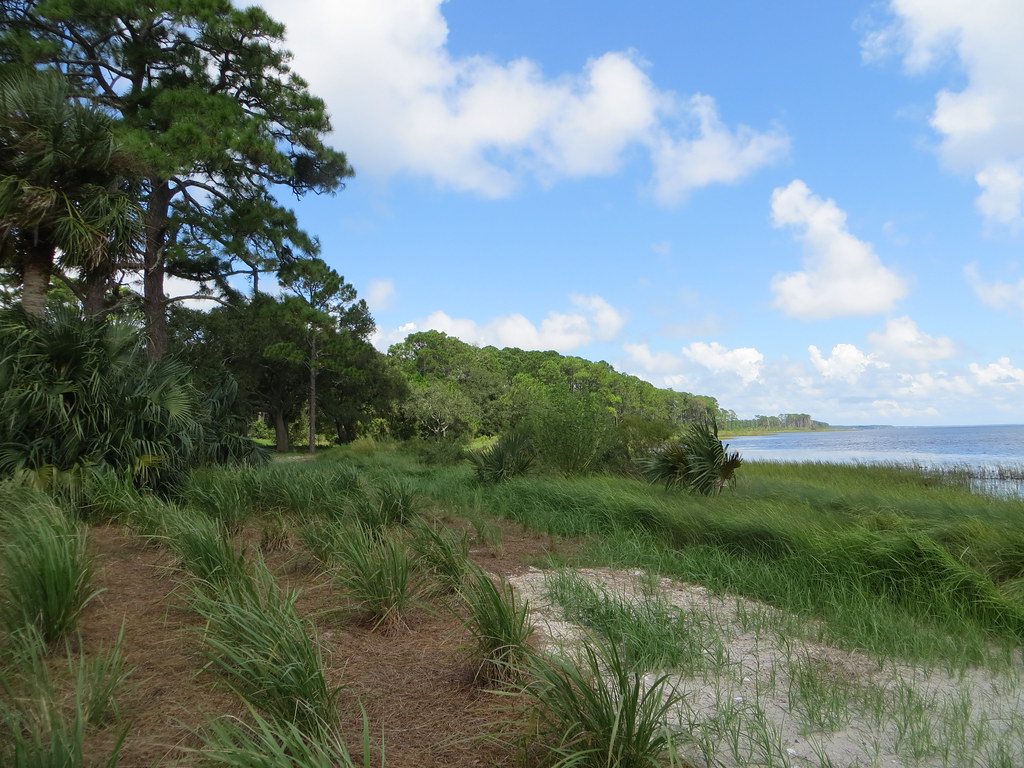
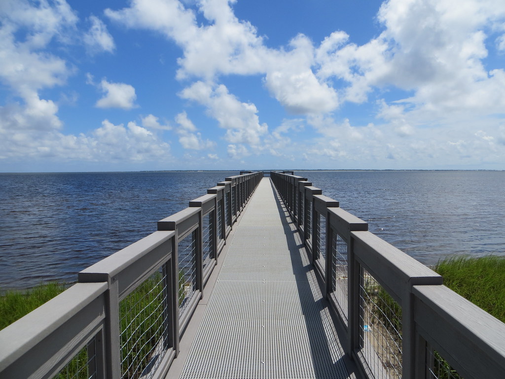
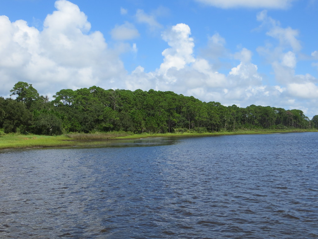
Island View Park Franklin Co FL (2)
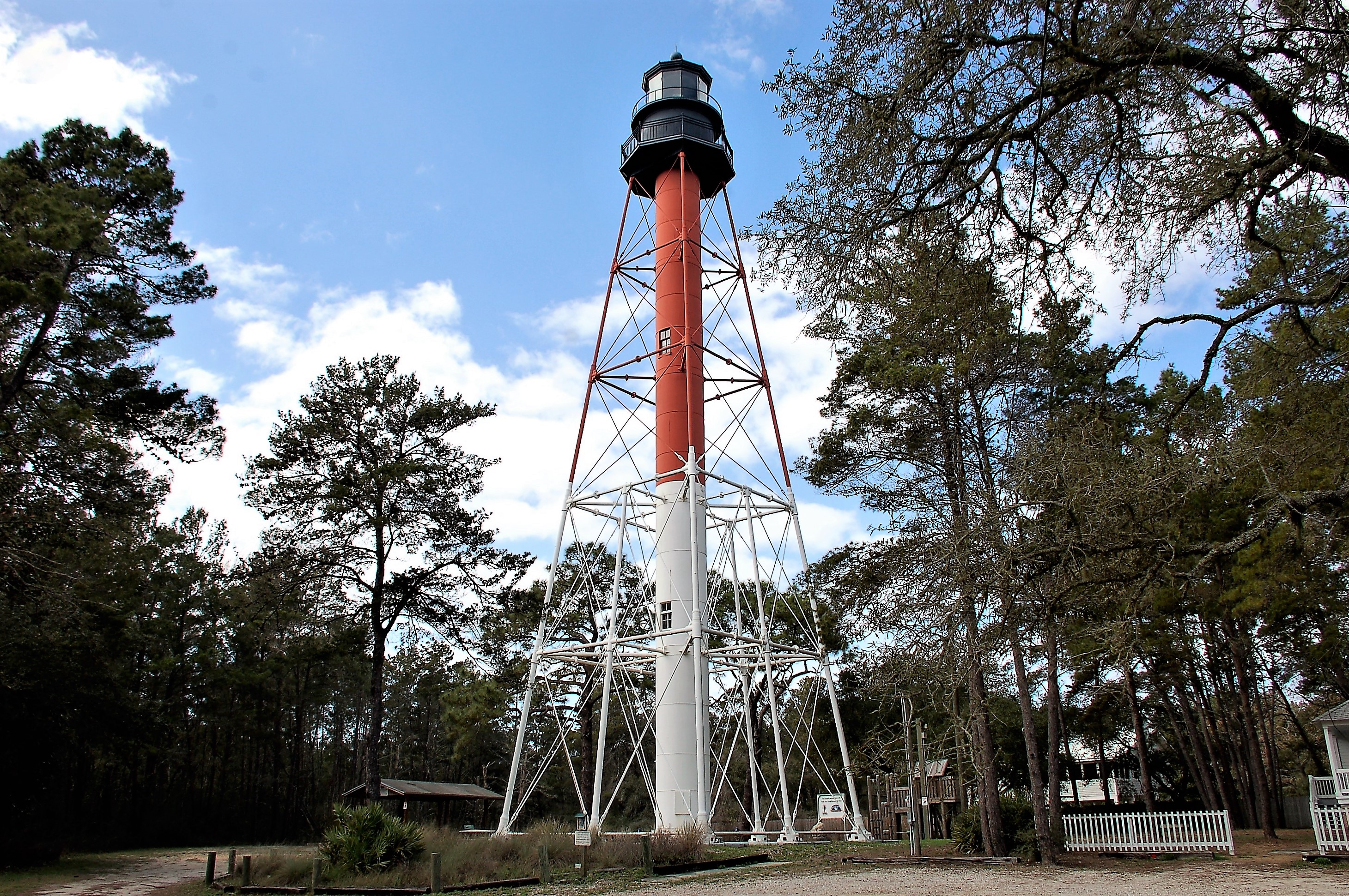
Florida, Carrabelle, Franklin County, Crooked River Lighthouse (2,177-2)
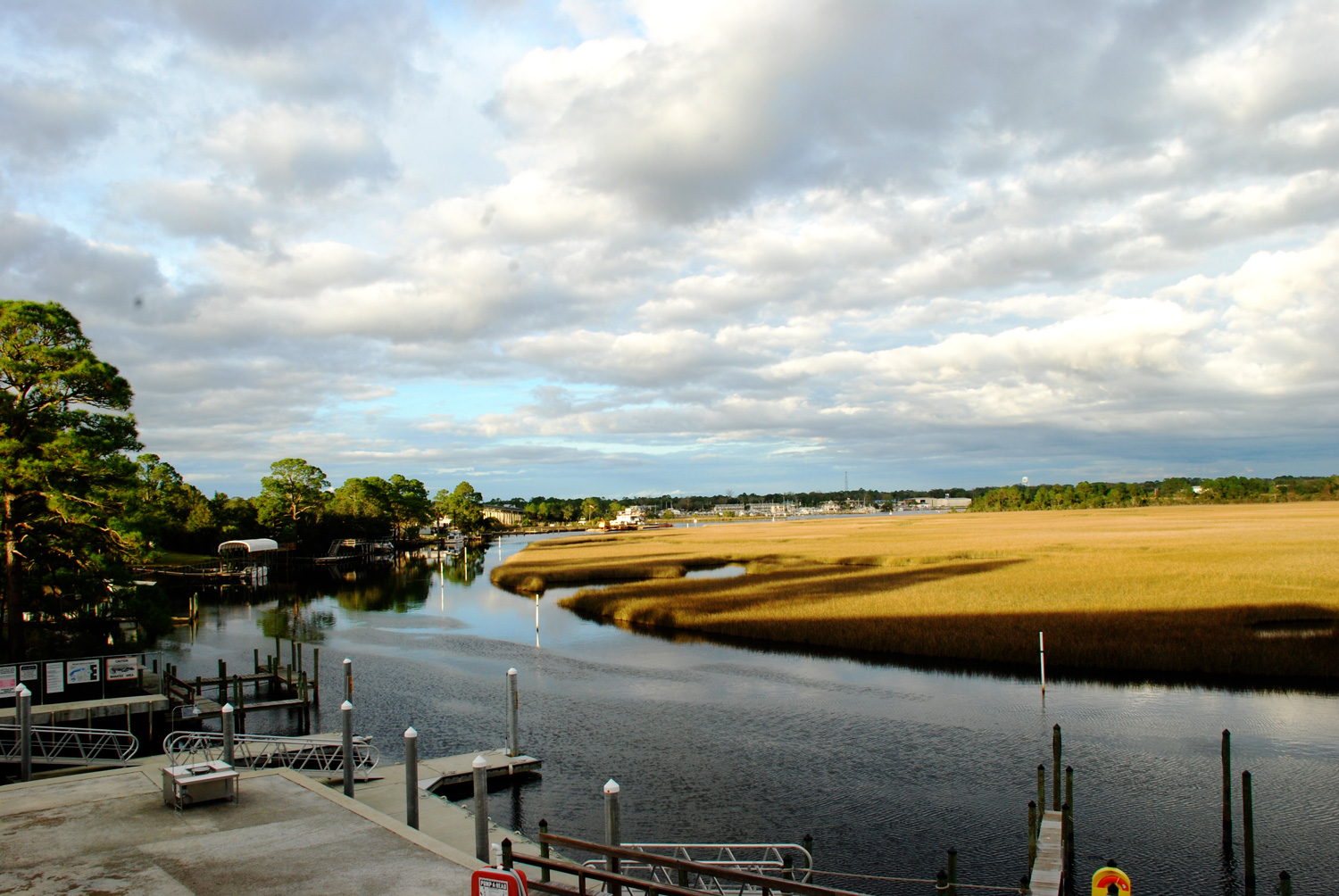
View from the Boat Club

Carrabelle and Dog Island
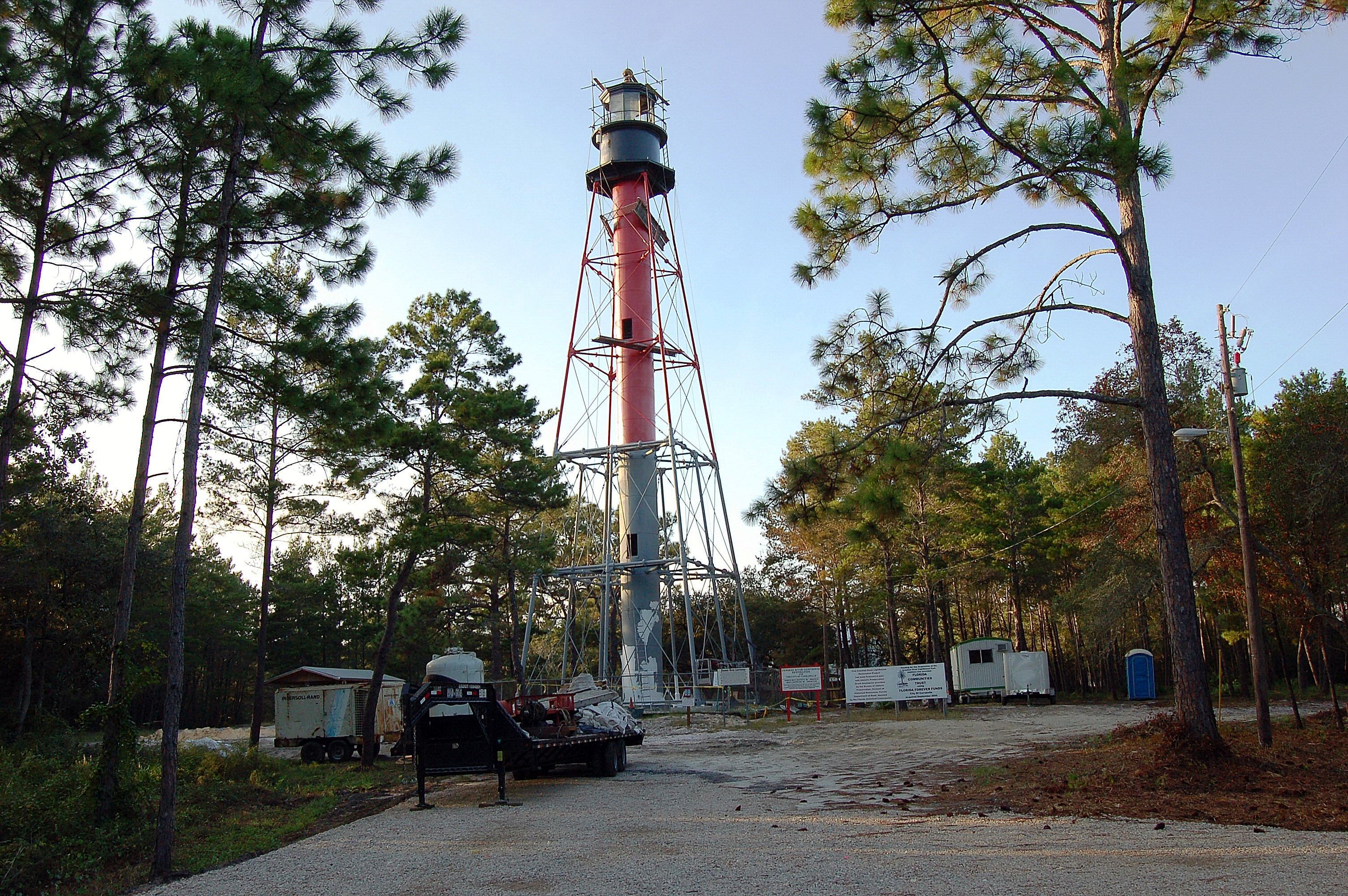
Florida, Carrabelle, Franklin County, Crooked River Lighthouse (2,177)
Dock Island View Park Franklin Co FL
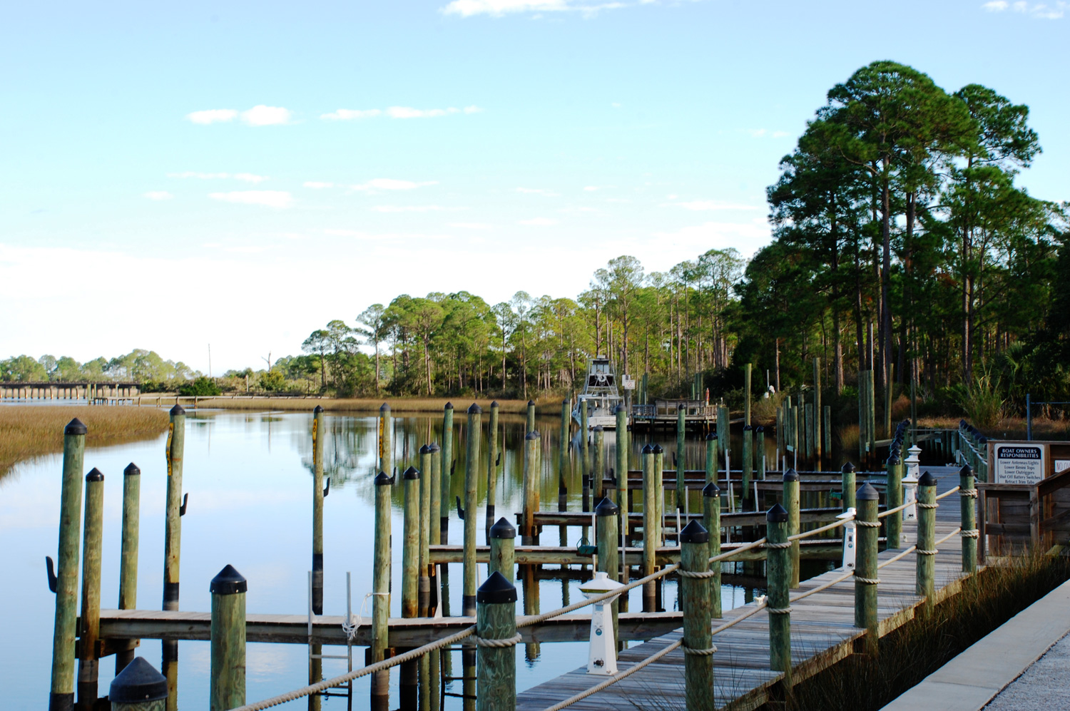
View from the Boat Club
Carabelle, Florida
Island View Park Franklin Co FL

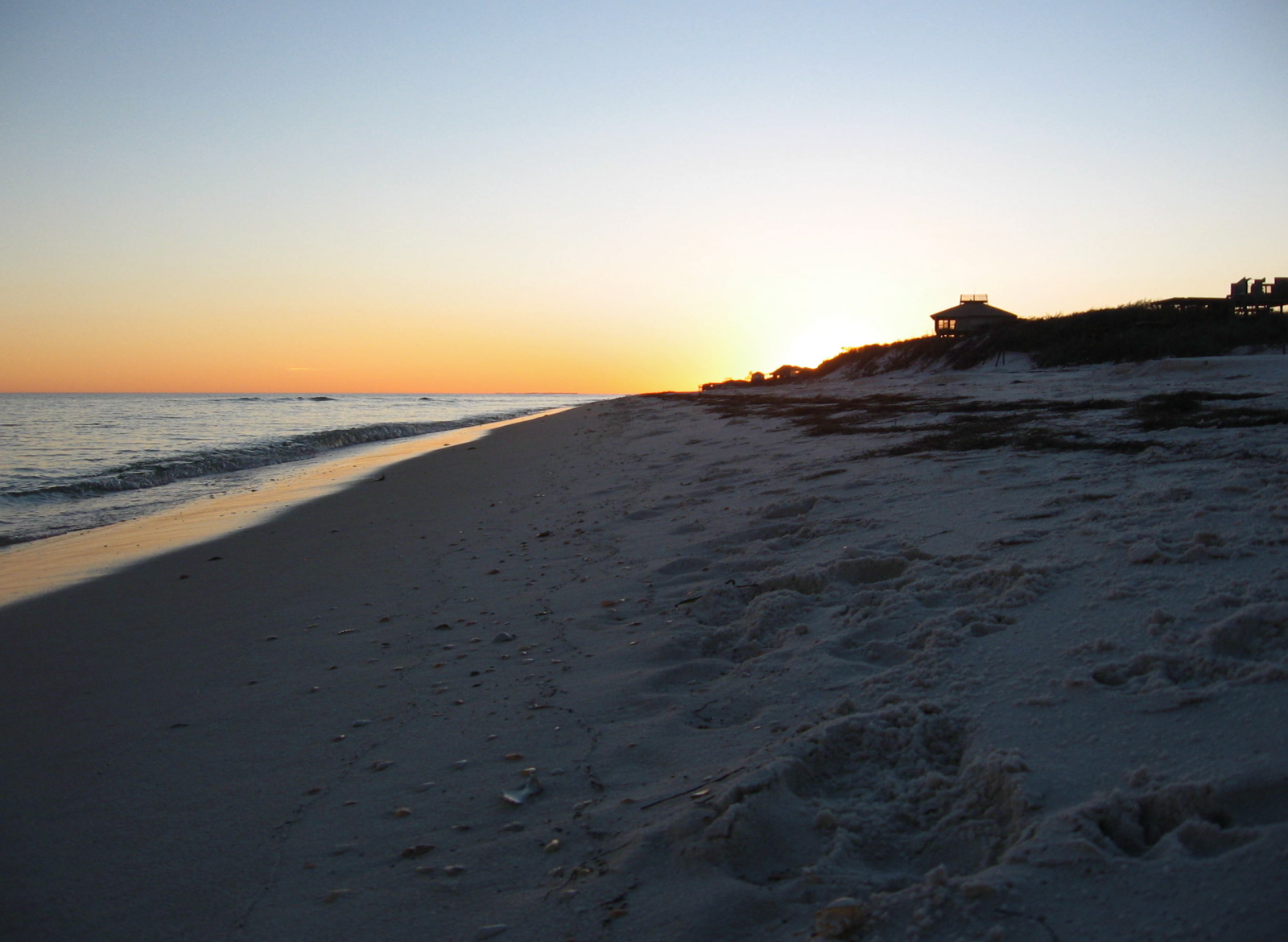
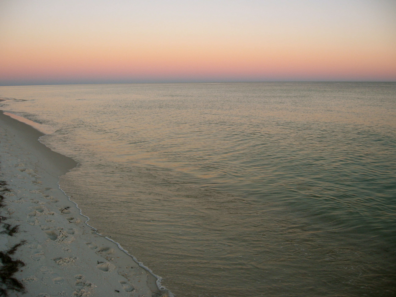
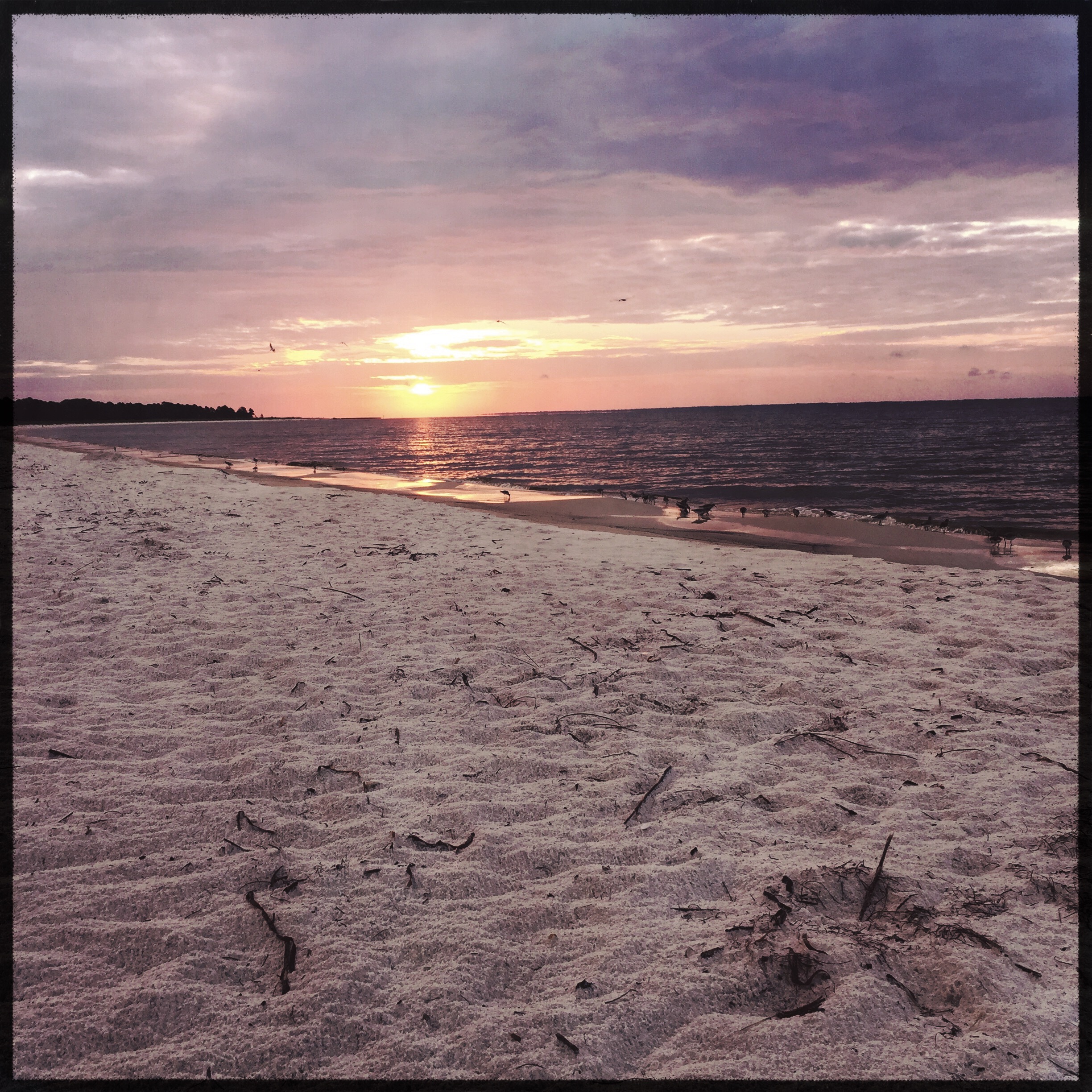
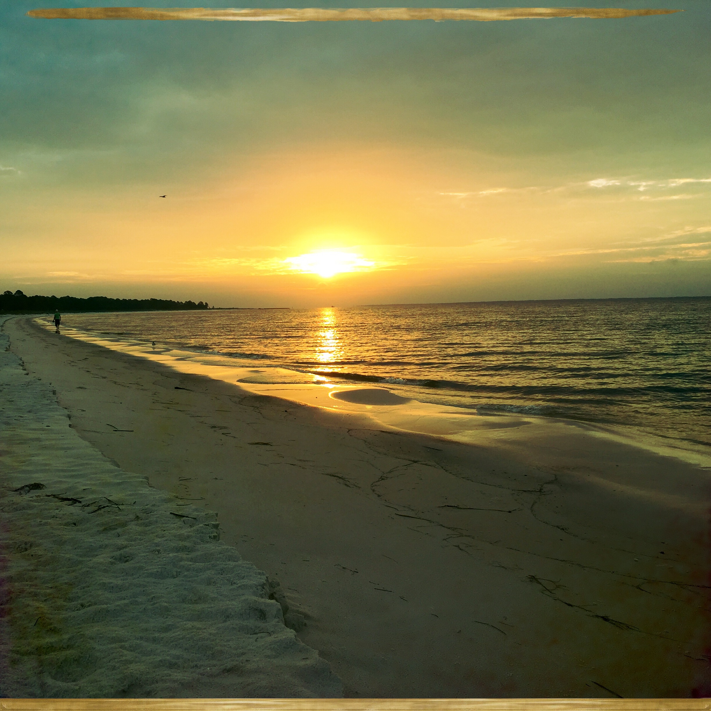
FLORIDA GULF SUNRISE
IMG_0290.JPG
IMG_0241.JPG
IMG_0230.JPG
IMG_0256.JPG
IMG_0244.JPG
IMG_0251.JPG
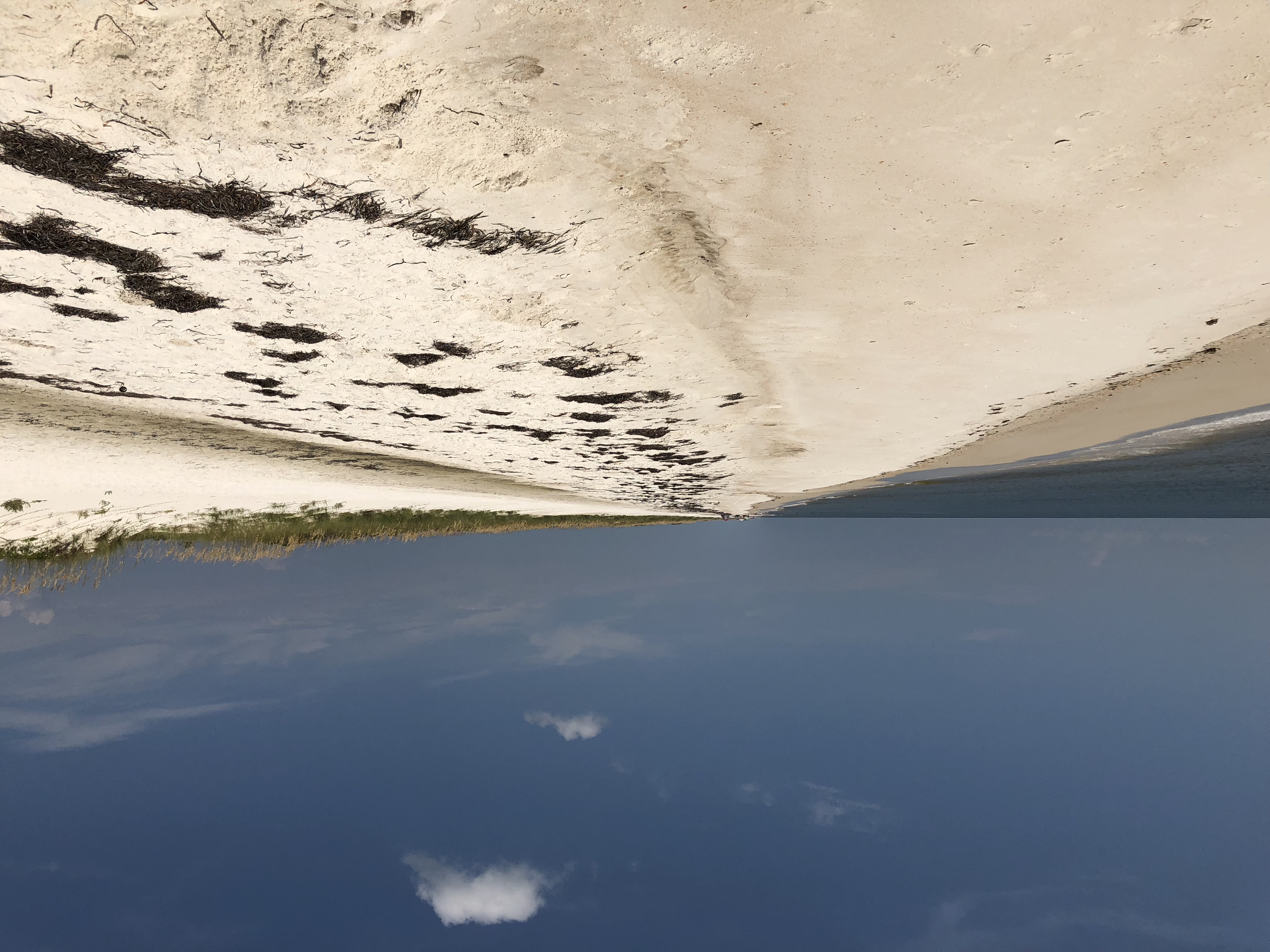
St. George Island State Park
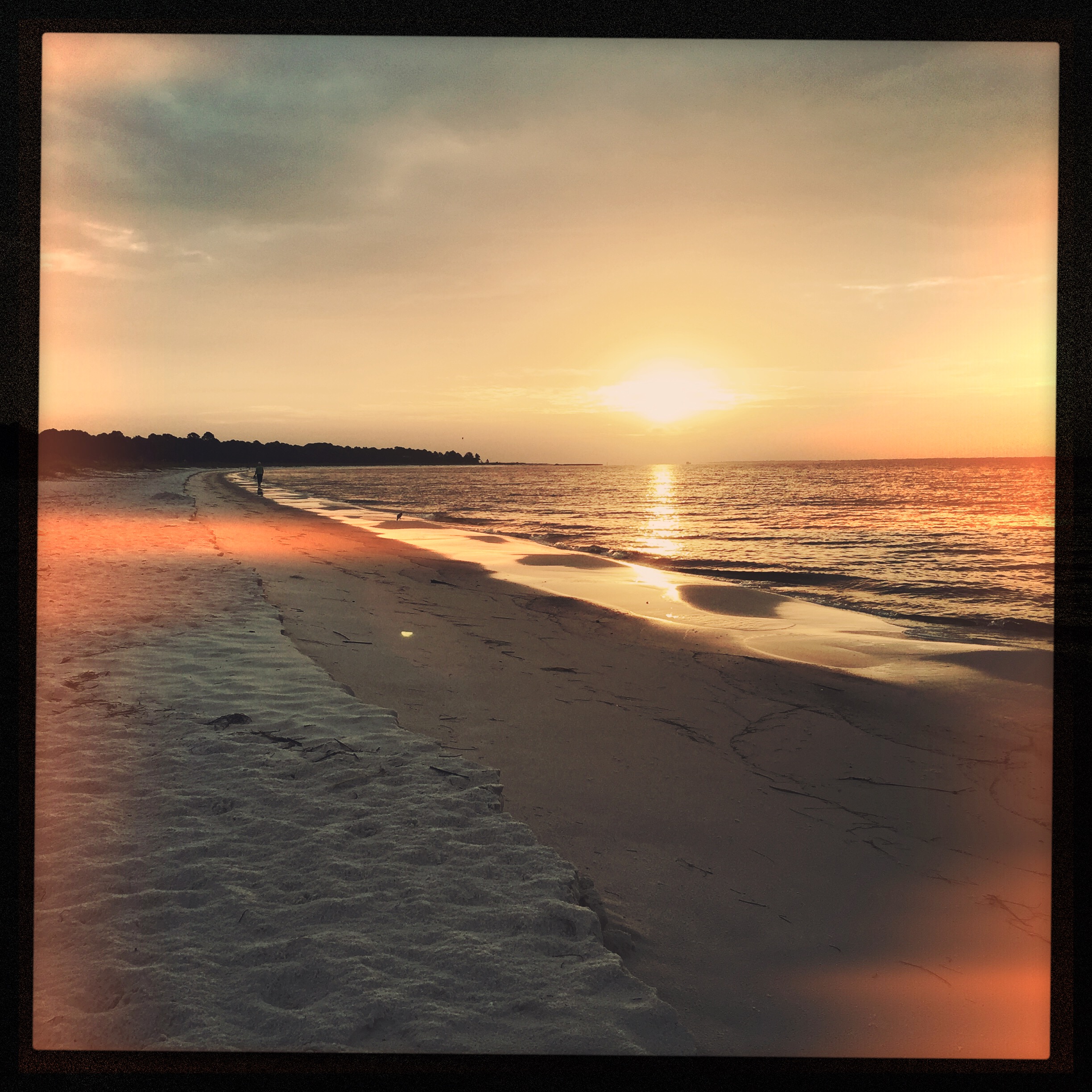
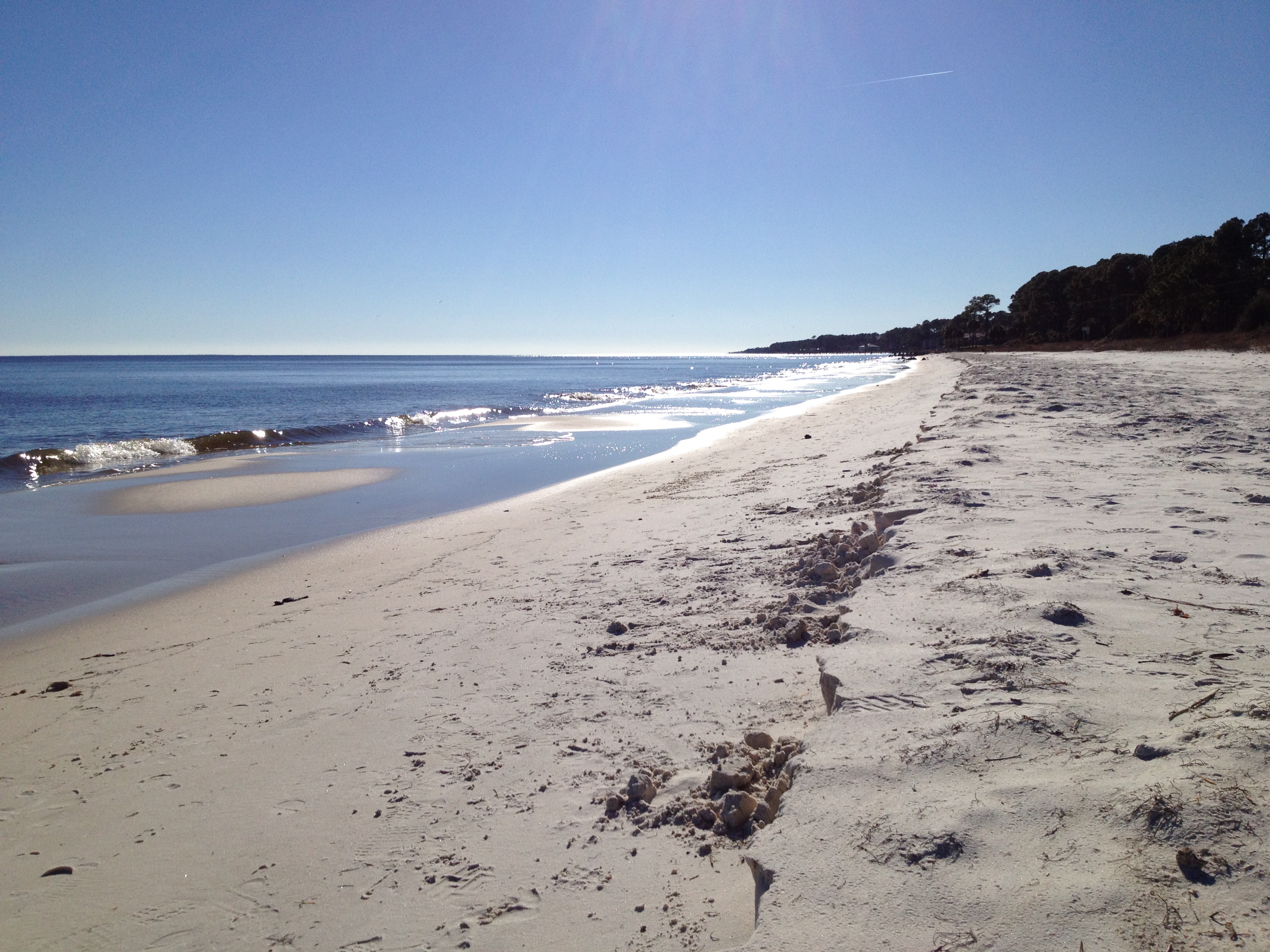
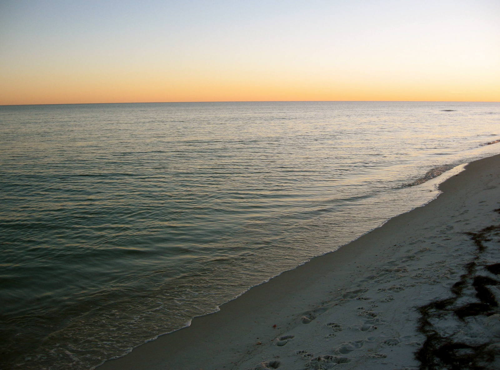
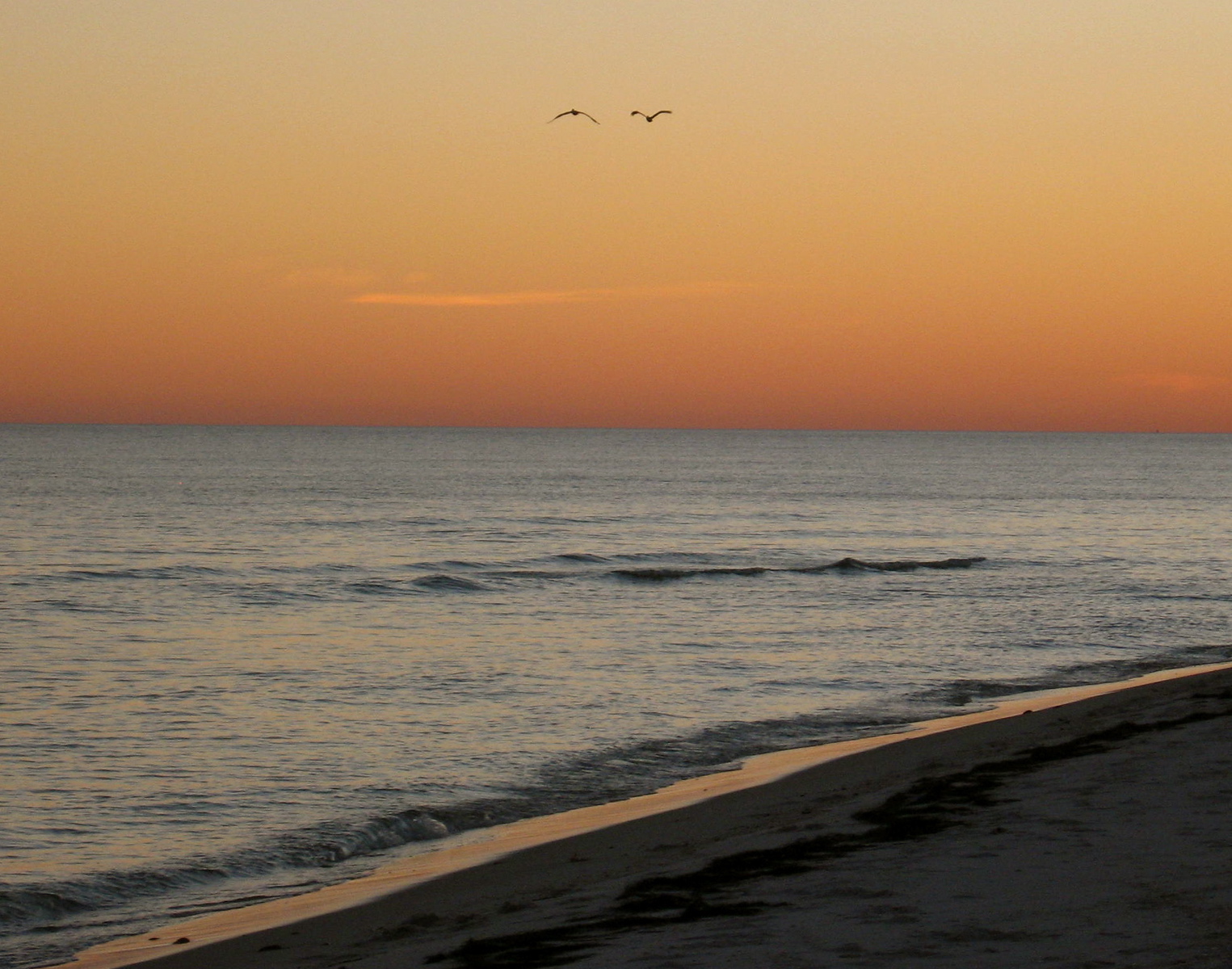
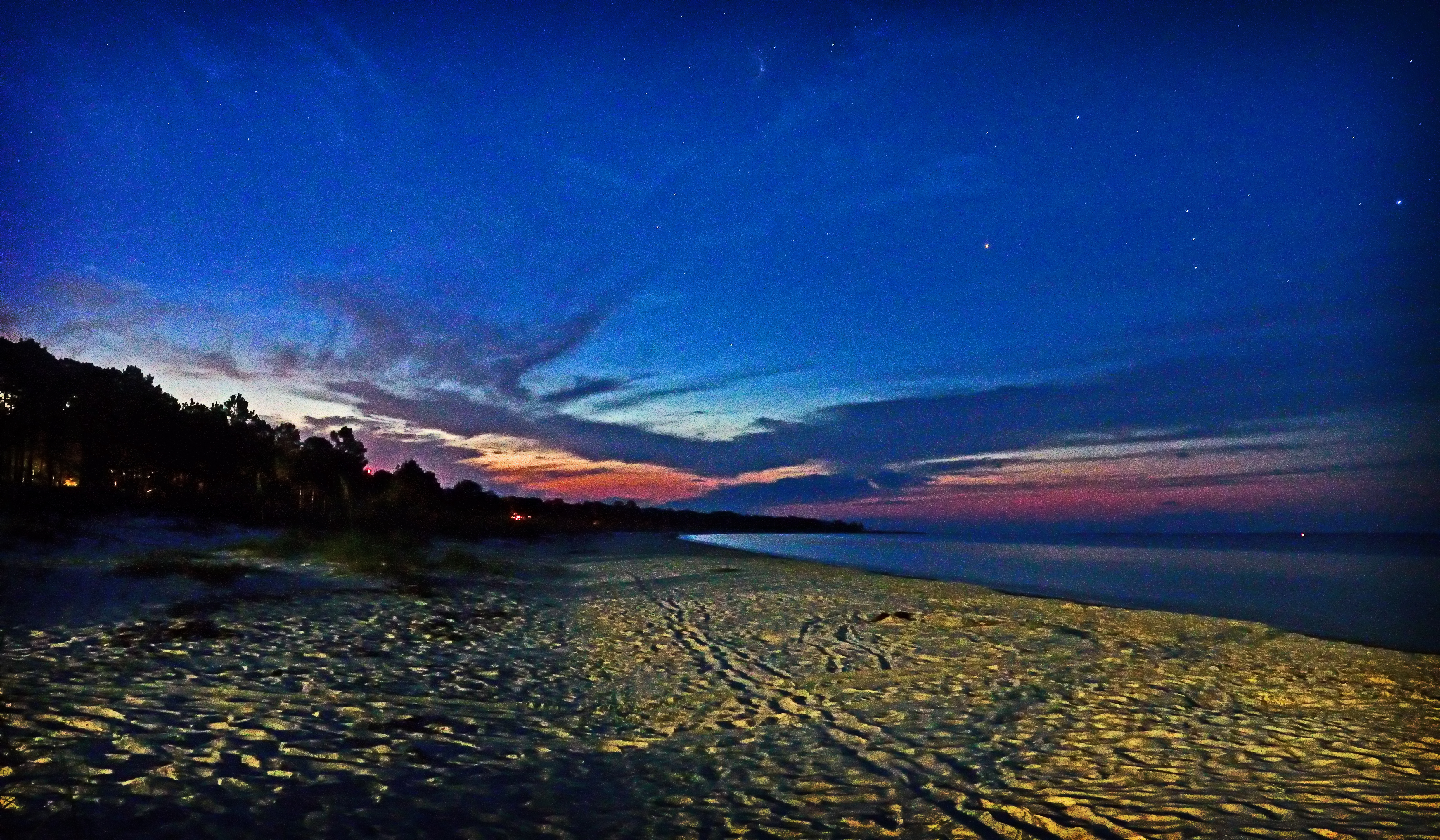
Sunrise from Carrabelle Beach
Sunrise from Carrabelle Beach
Carrabelle beach, off highway 98
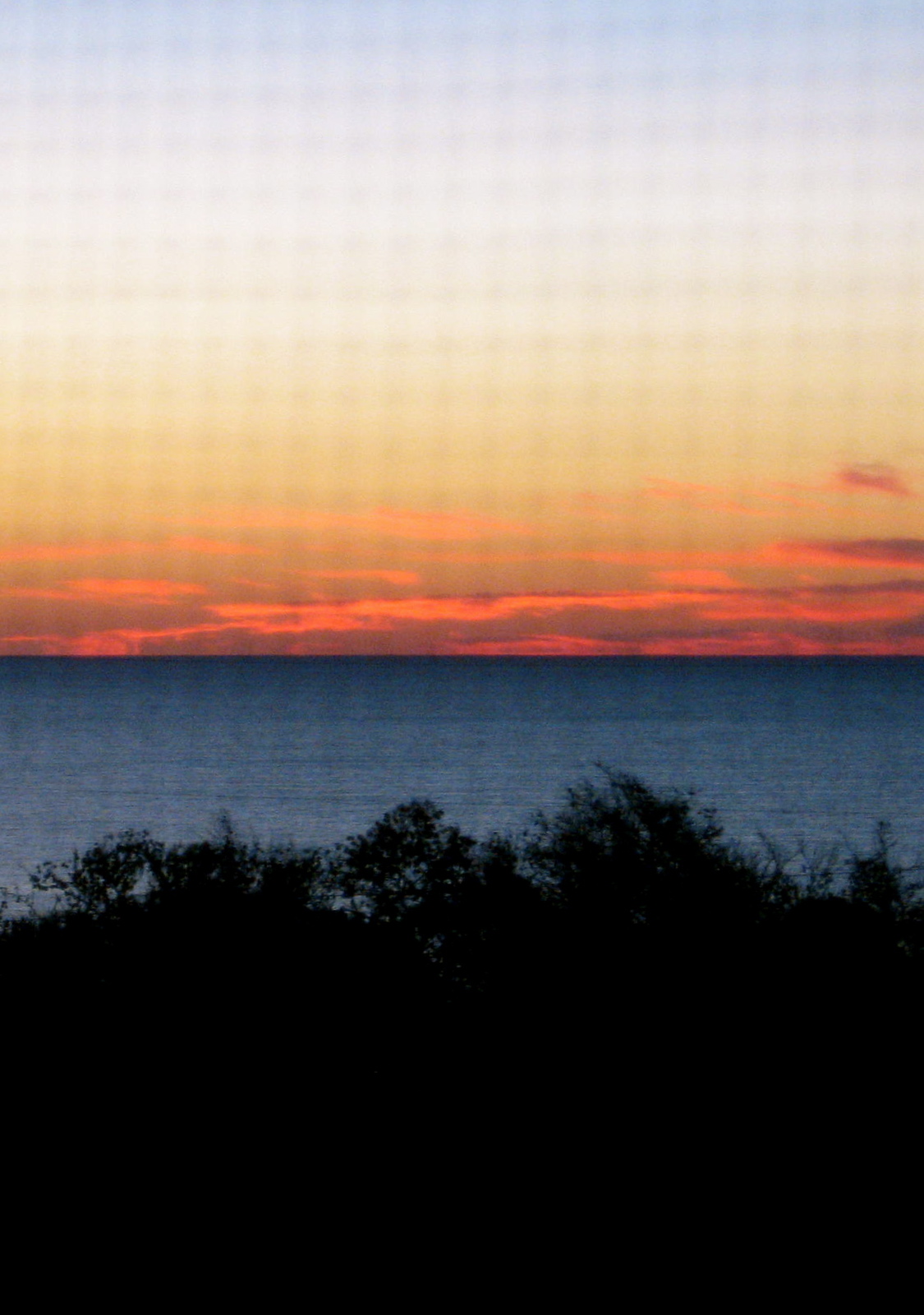
SUNRISE ON THE BEACH

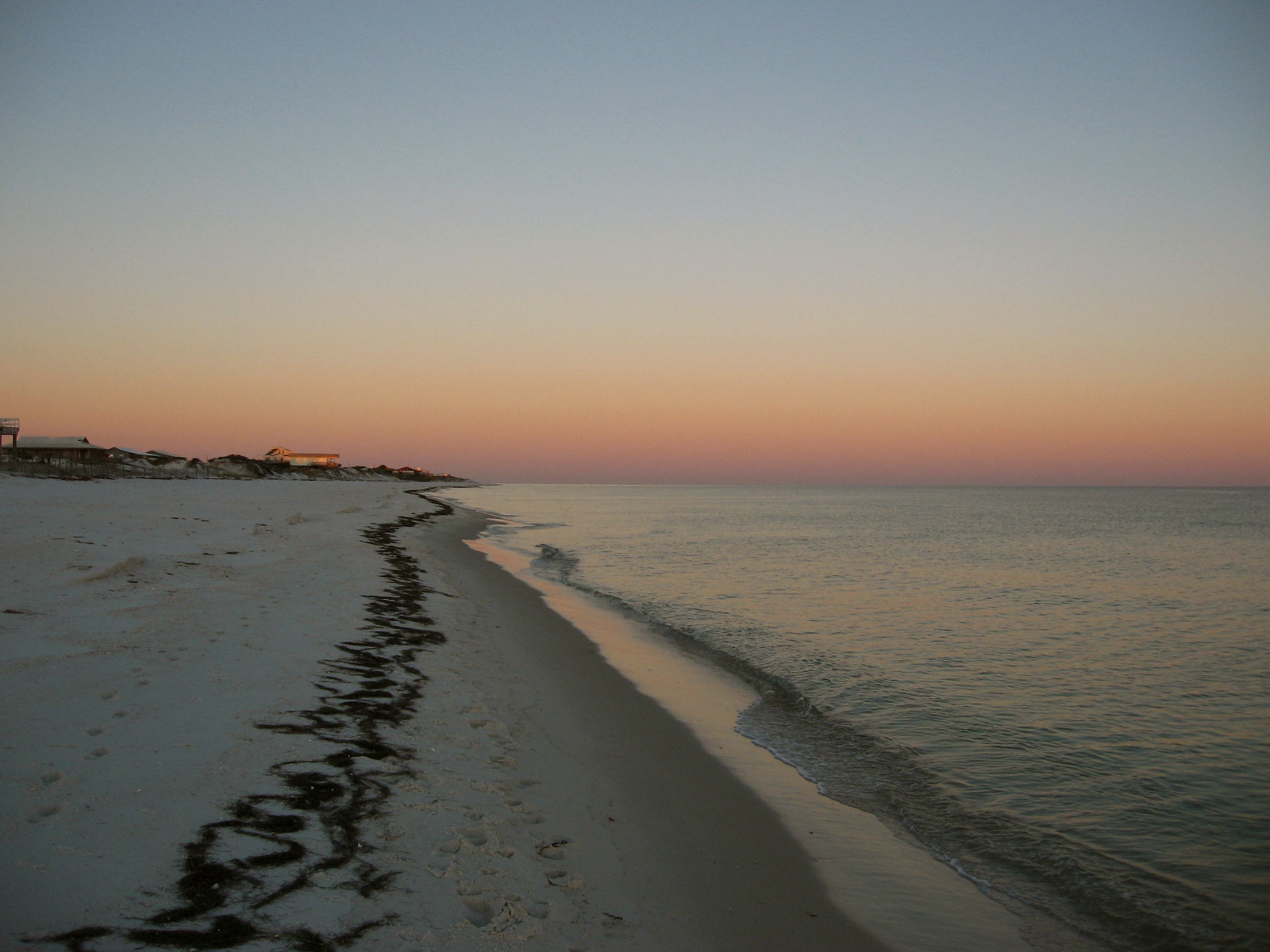
Carrabelle, Florida Sunset
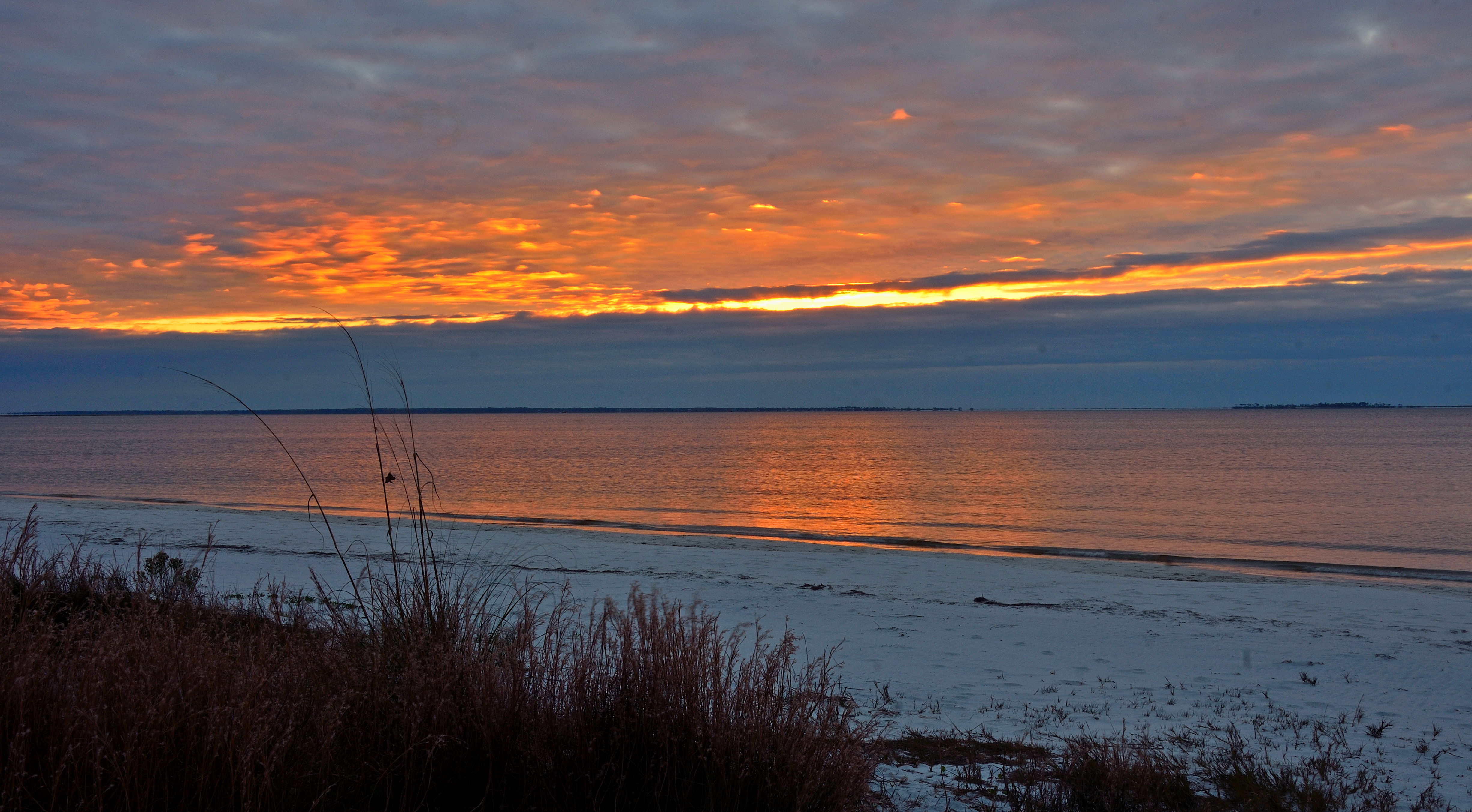
CARRABELLE BEACH CLOUDY WINTER SUNRISE
Sunrise from Carrabelle Beach

Heaven is a place on Earth with you...
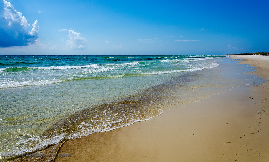
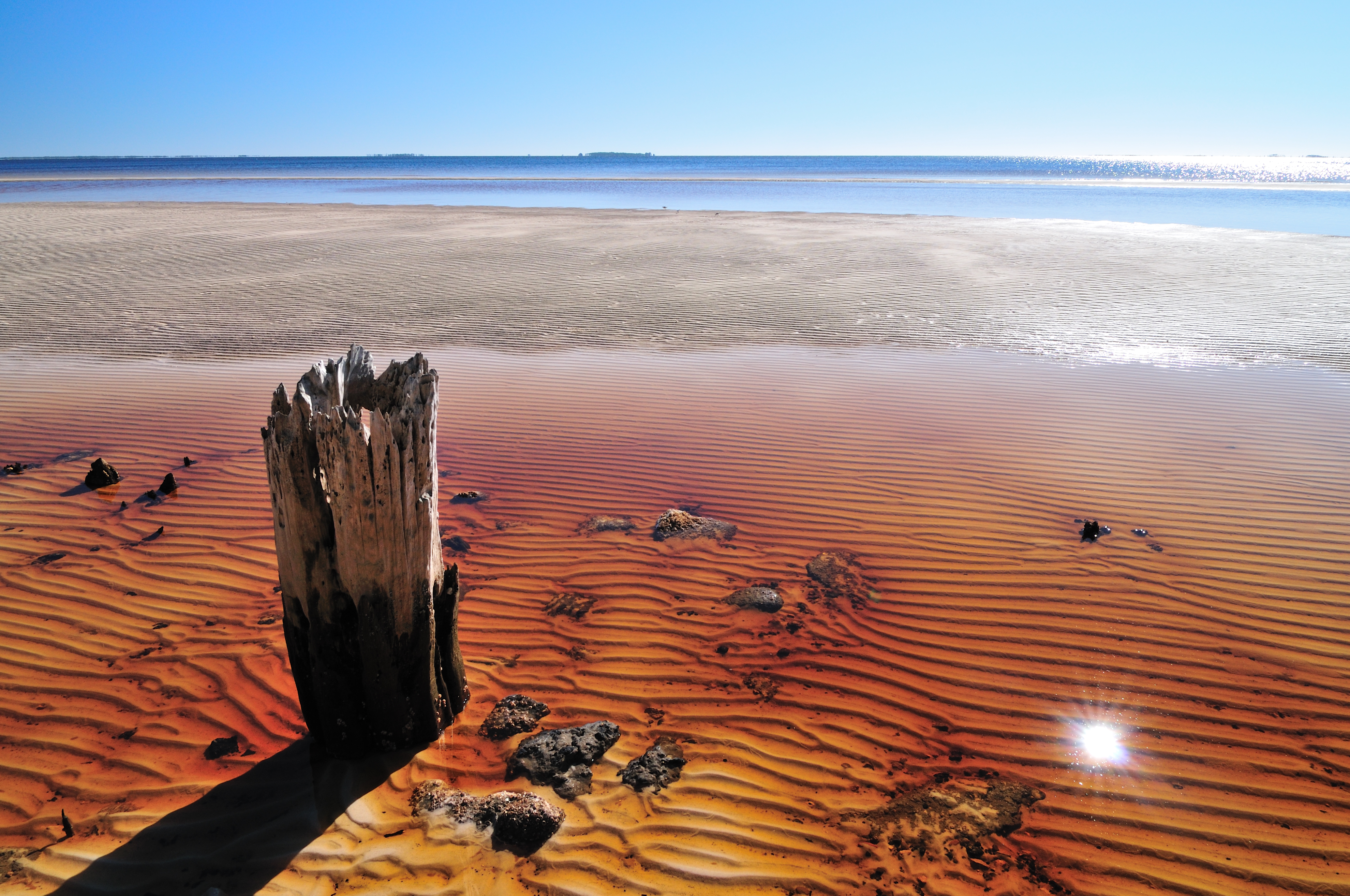
Ripples - St. George Island State Park, FL

Public Beach Access - St. George Island State Park, FL
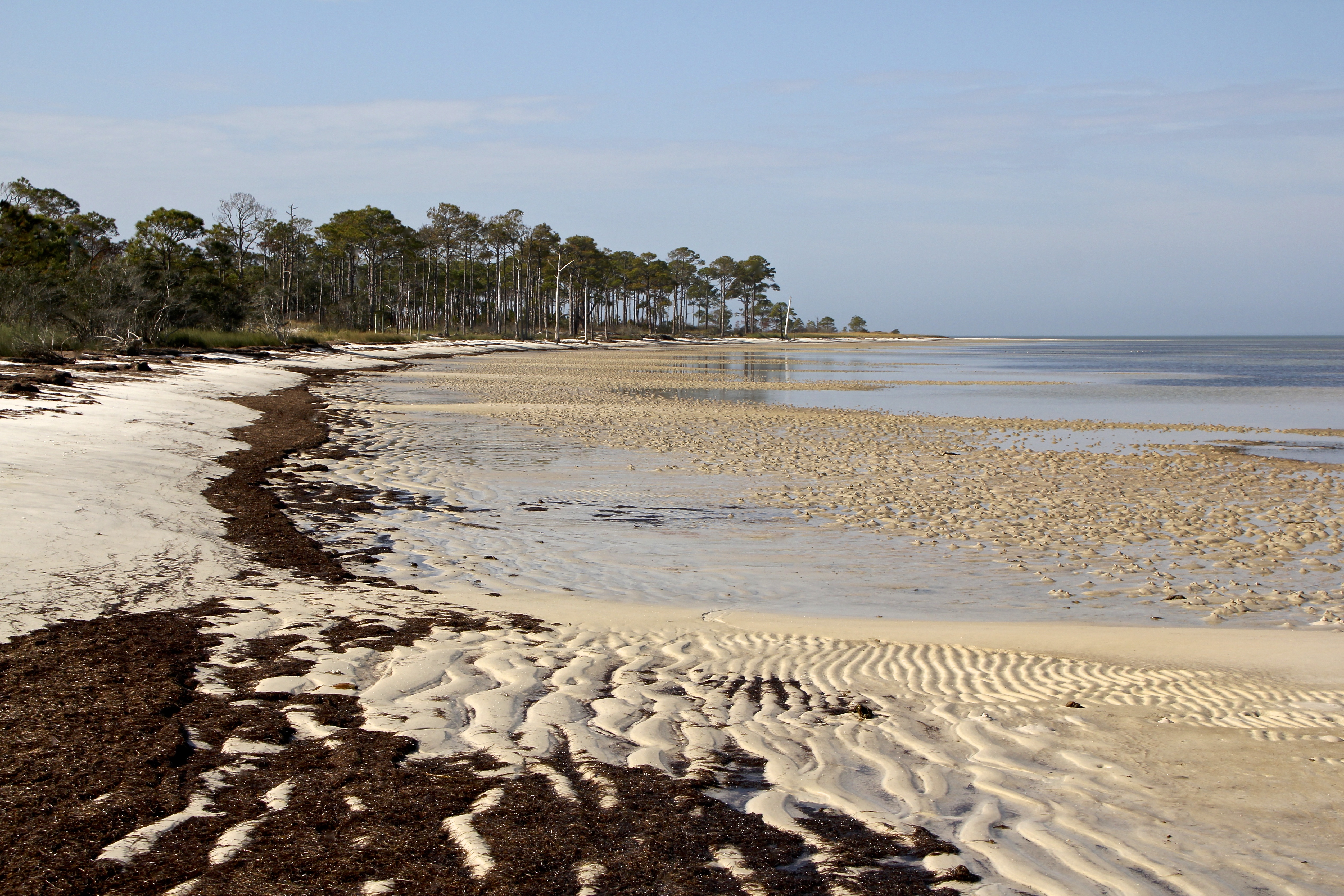
Bayside at low tide
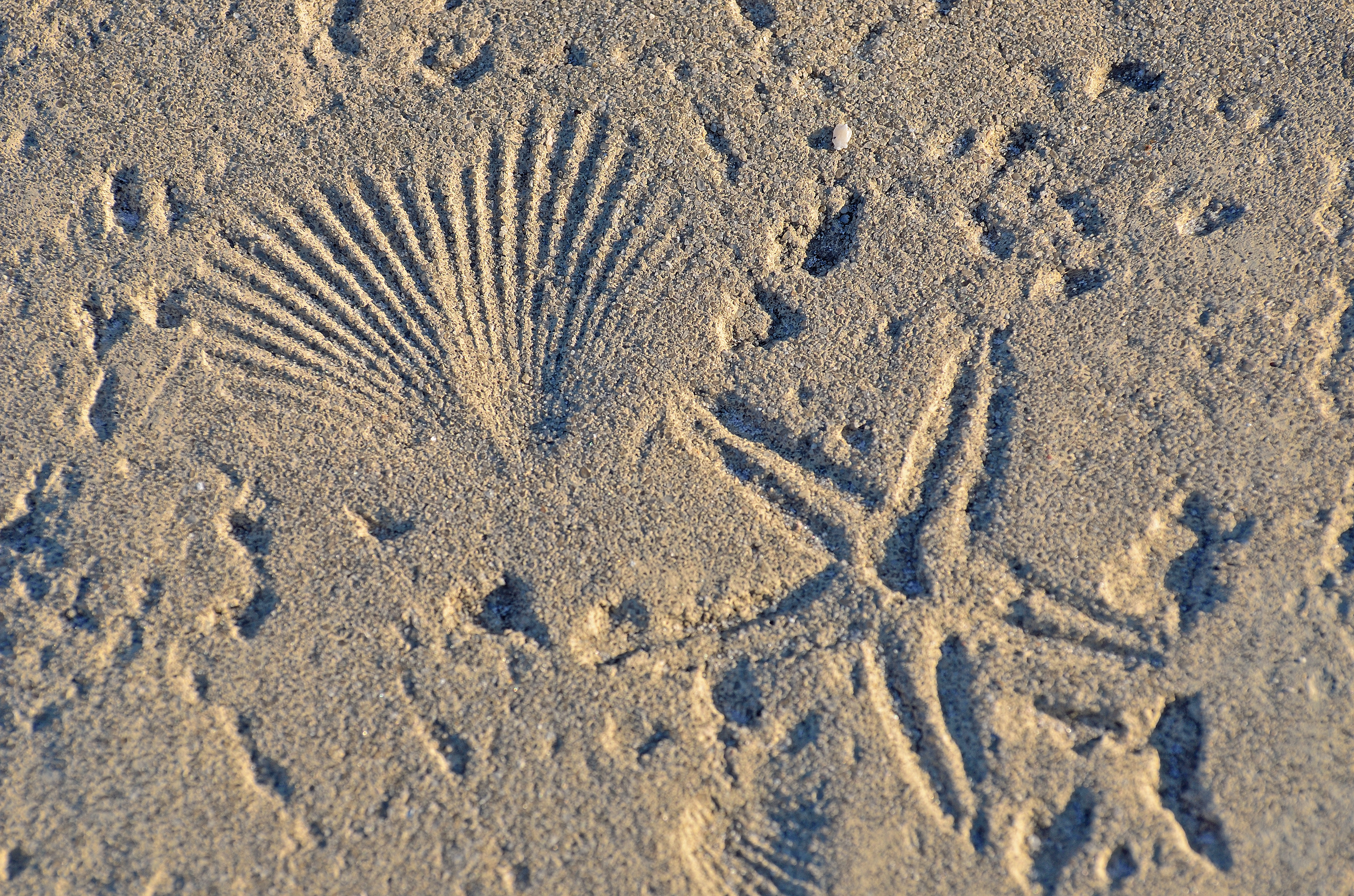
TEXTURE - CONCRETE AT THE BEACH
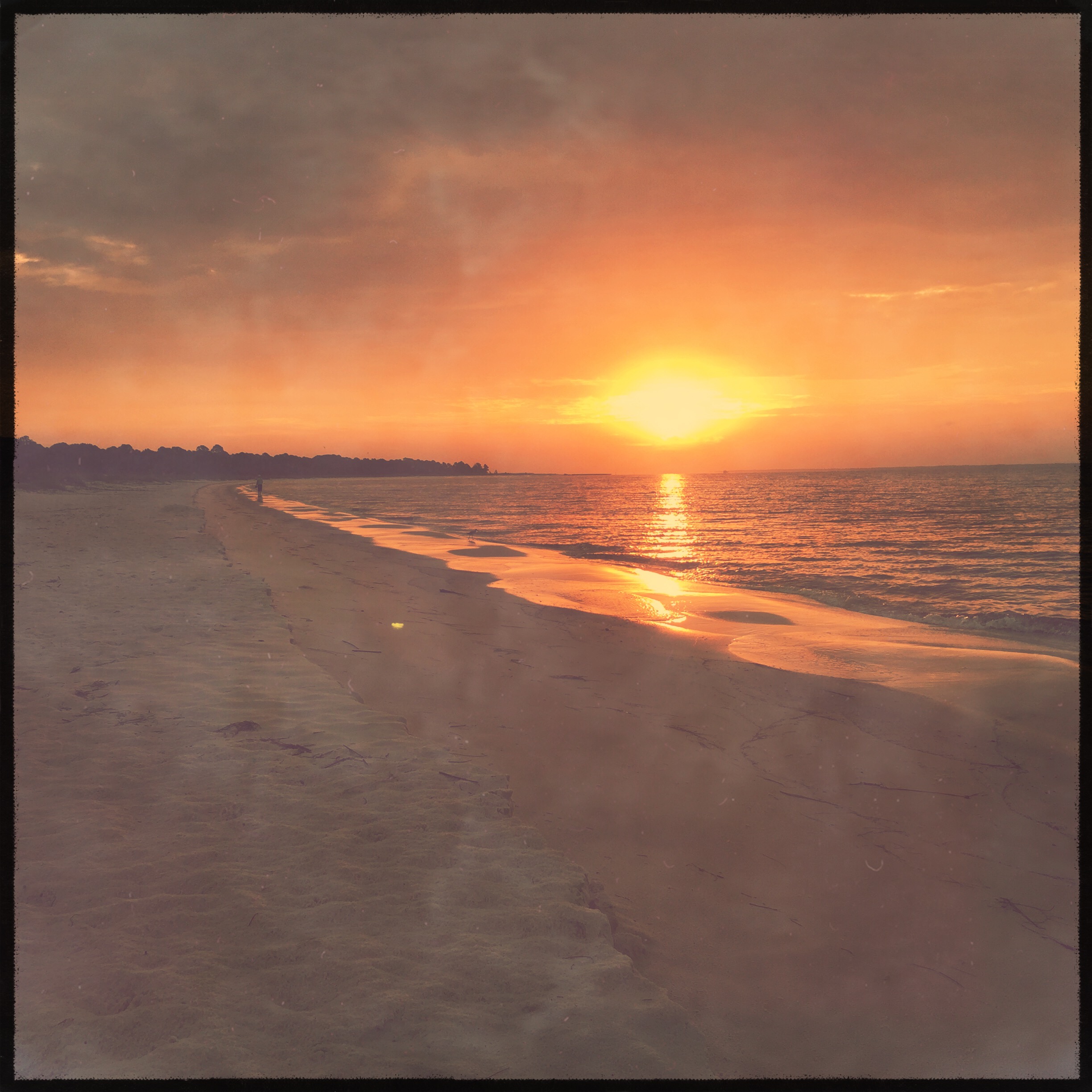
Sunrise from Carrabelle Beach
Topographic Map of Gulf Shore Dr, Carrabelle, FL, USA
Find elevation by address:

Places near Gulf Shore Dr, Carrabelle, FL, USA:
127 Alabama St
304 13th St E
706 Se 7th St
111 Carolina St
414 Ave E S
414 Ave E S
414 Ave E S
Southeast Avenue F
2174 Kentucky Ave
500 Fl-30
127 Idaho St
123 Illinois St
110 5th St E
Lanark Village, FL, USA
275 Timber Island Rd
Jubilee Street
260 Timber Island Rd
2321 Enabob St
2325 Jubilee St
102 Elm St
Recent Searches:
- Elevation of Grodna District, Hrodna Region, Belarus
- Elevation of Hrodna, Hrodna Region, Belarus
- Elevation of Sandia Derby Estates, Tijeras, NM, USA
- Elevation of 23 Sunrise View Ct, Tijeras, NM, USA
- Elevation of Lytham Ln, Katy, TX, USA
- Elevation of Tater Hill, Oklahoma, USA
- Elevation of NY-, Friendship, NY, USA
- Elevation of 64 Danakas Dr, Winnipeg, MB R2C 5N7, Canada
- Elevation of 4 Vale Rd, Sheffield S3 9QX, UK
- Elevation of Keene Point Drive, Keene Point Dr, Grant, AL, USA