Elevation of Guinea Mill Rd, Moyock, NC, USA
Location: United States > North Carolina > Currituck County > Moyock > Moyock >
Longitude: -76.123229
Latitude: 36.4936963
Elevation: 2m / 7feet
Barometric Pressure: 101KPa
Elevation Map:
Satellite Map:
Related Photos:

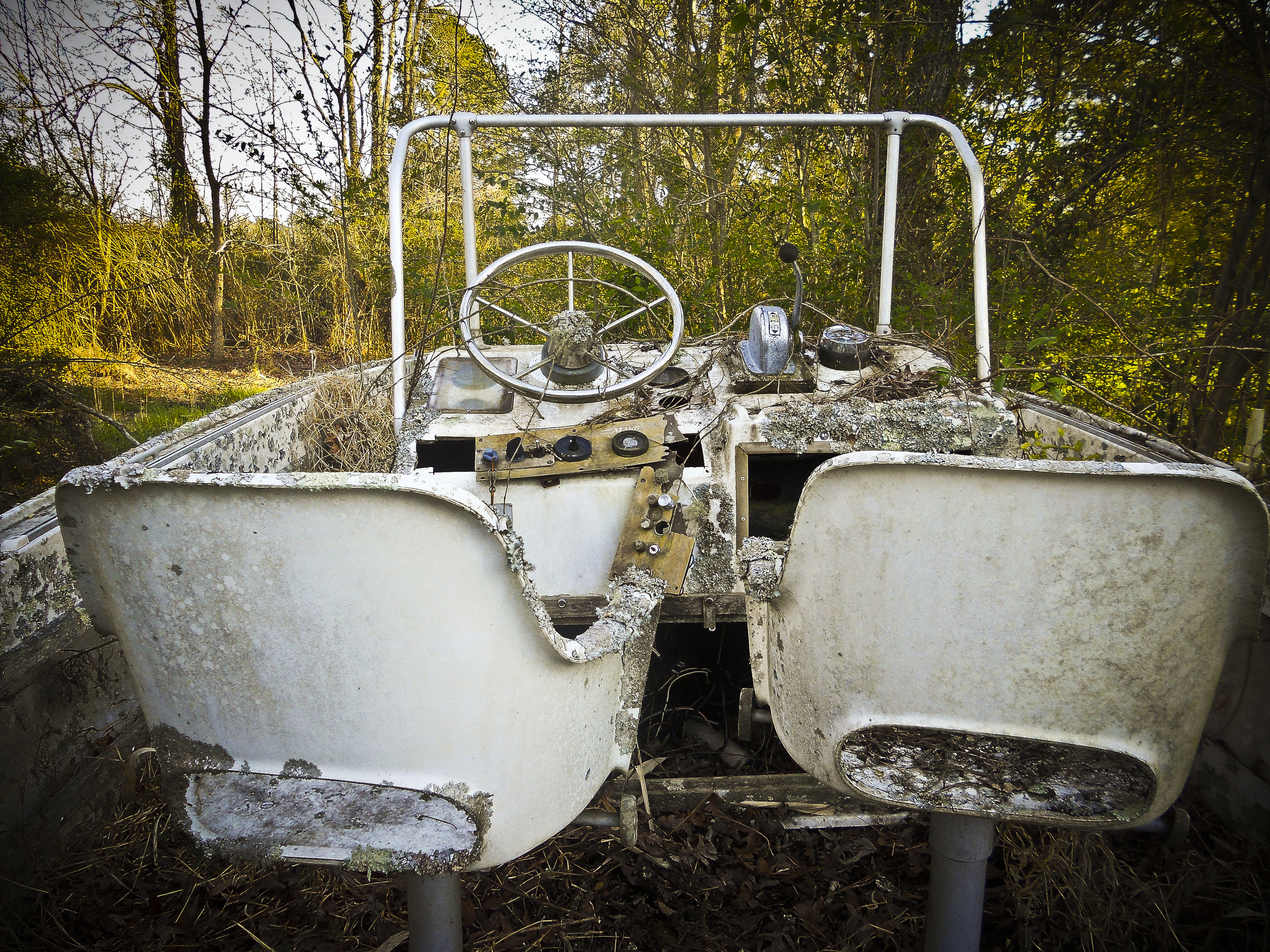
Wonderful Evening

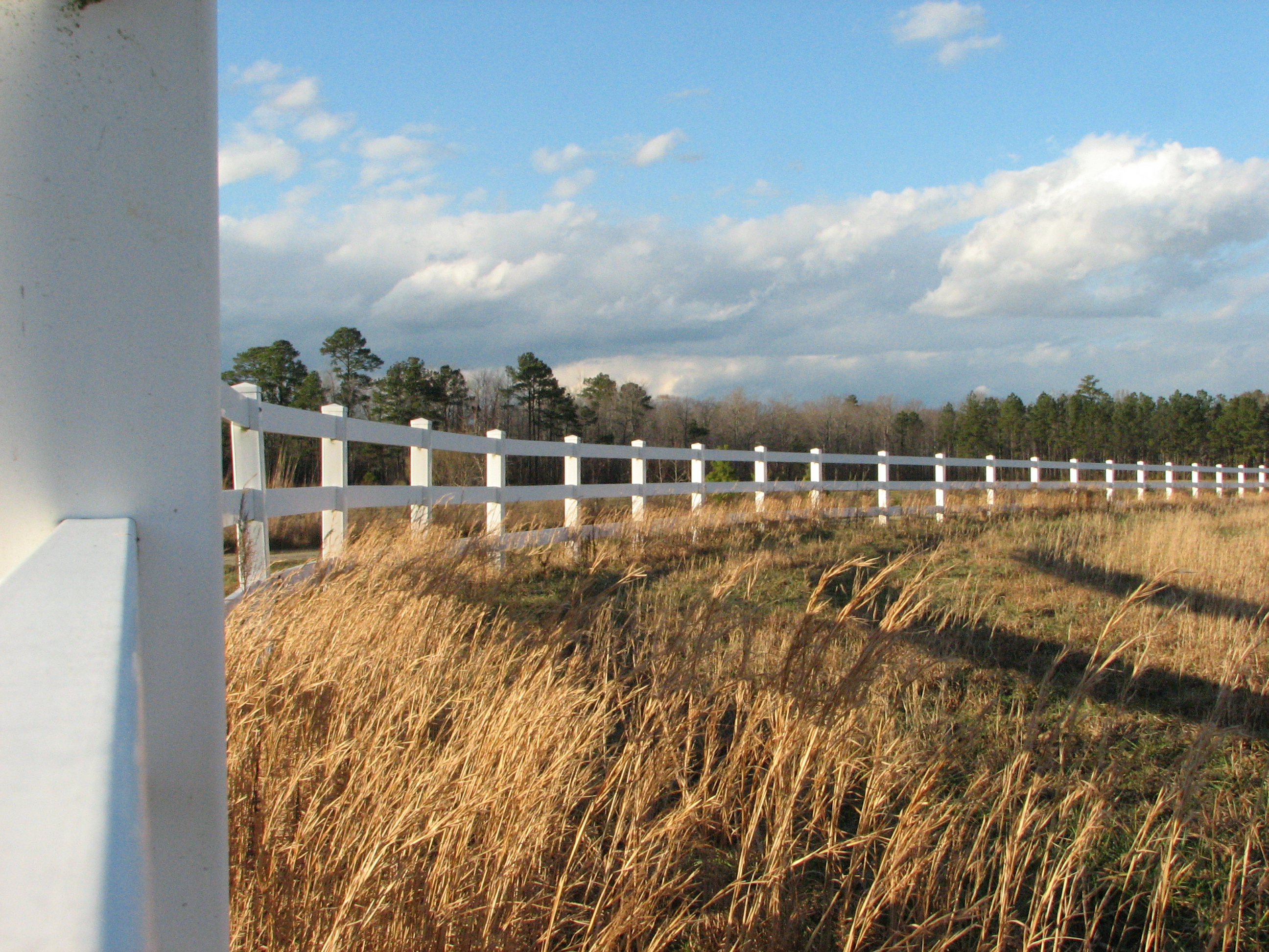
A Sight for Sore Feet

2013-10-24 (29) chainsaw wood carving

z2013-09-11 (22) Currituck County NC

2013-10-24 (33) chainsaw wood carving

Chesapeake Expressway, Chesapeake, Virginia en route to Hampton Roads, Virginia

Squirrels eye view

Labor Day Camping Trip - view from campsite

Blackwater 025
The Captains Quarters

Storms moving through
8-366-1

Labor Day Camping Trip - Sunset from North Landing Beach

Indian Creek Horizontal Crop

Last Days of Summer

A Bridge Too Far

North Landing River

DSC_9784-Pano

DSCN4655.JPG

Caratoke Highway (North Carolina Highway 168), Currituck, North Carolina

DSCN4649.JPG

Pungo Ferry Road Bridge

Knott's Island Camping Trip

Munden Point Park

Back Bay Wildlife Refuge

Soybeans in southern Virginia

IMG_1749.jpg

DSCN4652.JPG

Pungo Ferry Landing Park

Field Of Dreams
Topographic Map of Guinea Mill Rd, Moyock, NC, USA
Find elevation by address:

Places near Guinea Mill Rd, Moyock, NC, USA:
Roland Creek
200 Guinea Rd
264 Guinea Mill Rd
130 Rowland Creek Rd
101 Hastings Dr
Hastings Drive
1288 Tulls Creek Rd
1294 Tulls Creek Rd
110 Creek Dr
1356 Tulls Creek Rd
Barracuda Street
111 Marlin St
Moyock
107 Drumm St
155 Survey Rd
100 Bridle Ct
579 Tulls Creek Rd
Eagle Creek Golf Club And Grill
291 Green View Rd
100 Whistling Duck Ct
Recent Searches:
- Elevation of Holloway Ave, San Francisco, CA, USA
- Elevation of Norfolk, NY, USA
- Elevation of - San Marcos Pass Rd, Santa Barbara, CA, USA
- Elevation of th Pl SE, Issaquah, WA, USA
- Elevation of 82- D Rd, Captain Cook, HI, USA
- Elevation of Harlow CM20 2PR, UK
- Elevation of Shenyang Agricultural University, Dong Ling Lu, Shen He Qu, Shen Yang Shi, Liao Ning Sheng, China
- Elevation of Alpha Dr, Melbourne, FL, USA
- Elevation of Hiroshima University, 1-chōme-3-2 Kagamiyama, Higashihiroshima, Hiroshima -, Japan
- Elevation of Bernina Dr, Lake Arrowhead, CA, USA