Elevation map of Guelmim, Morocco
Location: Morocco > Guelmim-oued Noun >
Longitude: -9.7232673
Latitude: 28.8801264
Elevation: 484m / 1588feet
Barometric Pressure: 96KPa
Elevation Map:
Satellite Map:
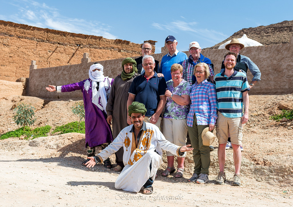
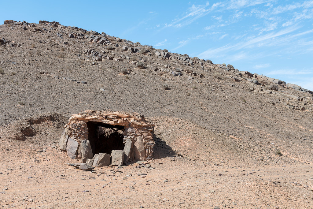
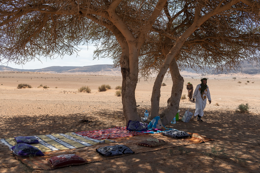
Related Photos:

Anti Atlas highway
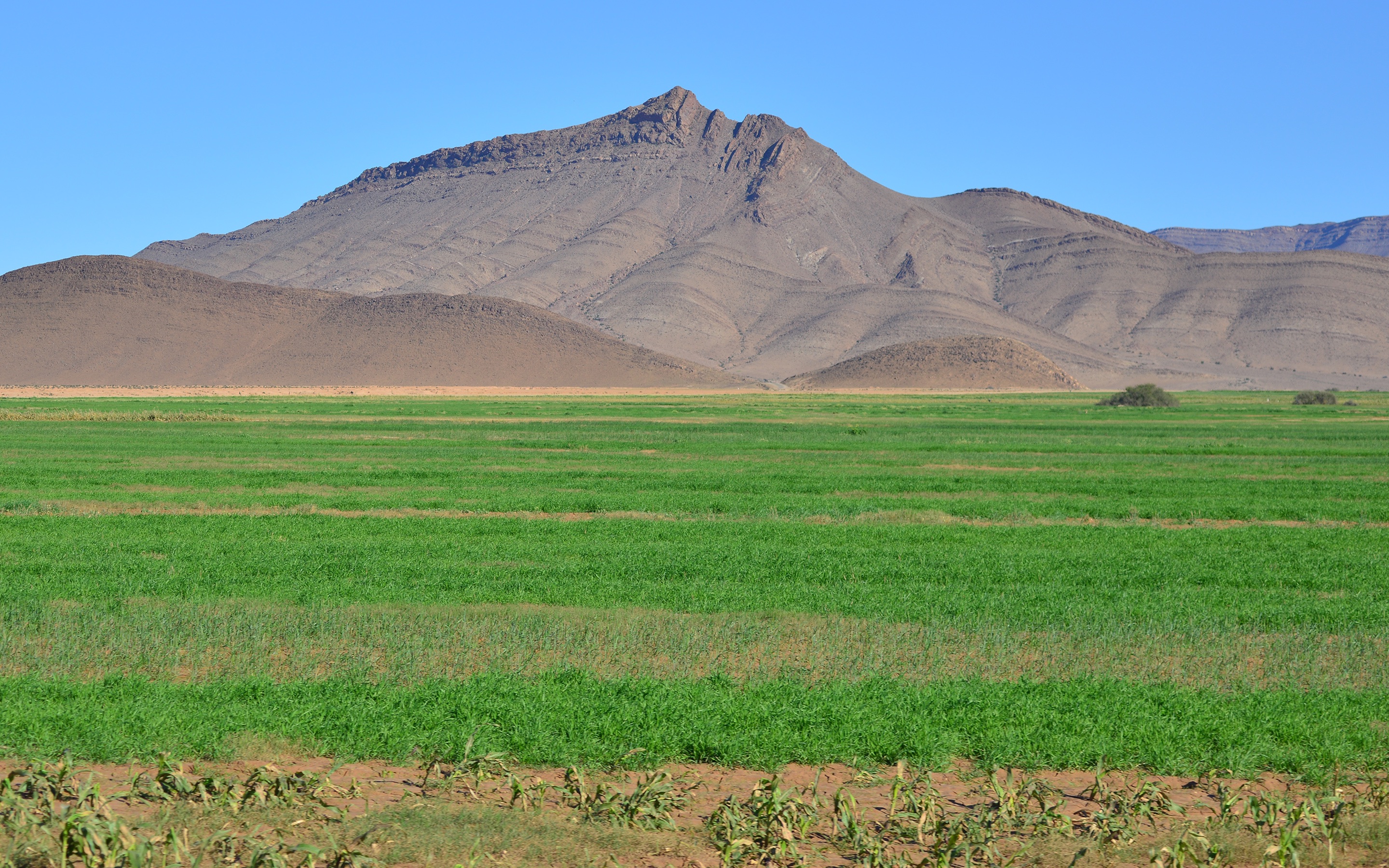
Irrigation 1

Camels 8
14-03-2020 151118

14-03-2020 122823

14-03-2020 104023

14-03-2020 104212

14-03-2020 104220
14-03-2020 114508

14-03-2020 110358

14-03-2020 110410

14-03-2020 134104
14-03-2020 122519

14-03-2020 122914

14-03-2020 125741

14-03-2020 133719

14-03-2020 140908

14-03-2020 150717

14-03-2020 150944

20140326-0341
Topographic Map of Guelmim, Morocco
Find elevation by address:

Places in Guelmim, Morocco:
Recent Searches:
- Elevation of Paseo Lucido, San Diego, CA, USA
- Elevation of W S, Orem, UT, USA
- Elevation of Water Bird Wy, Punta Gorda, FL, USA
- Elevation of Teiskontie 8, Tampere, Finland
- Elevation of Pacific View Dr, Malibu, CA, USA
- Elevation of Thorpe Cir, Thousand Oaks, CA, USA
- Elevation of Eldorado do Sul - RS, Brazil
- Elevation of Eldorado do Sul - Parque Eldorado, Eldorado do Sul - RS, -, Brazil
- Elevation of 35 Governors Ln, Hilton Head Island, SC, USA
- Elevation of Orangevale, CA, USA