Elevation of Guanacaste Province, Potrero, Costa Rica
Location: Costa Rica > Guanacaste >
Longitude: -85.767946
Latitude: 10.4580682
Elevation: 10m / 33feet
Barometric Pressure: 101KPa
Elevation Map:
Satellite Map:
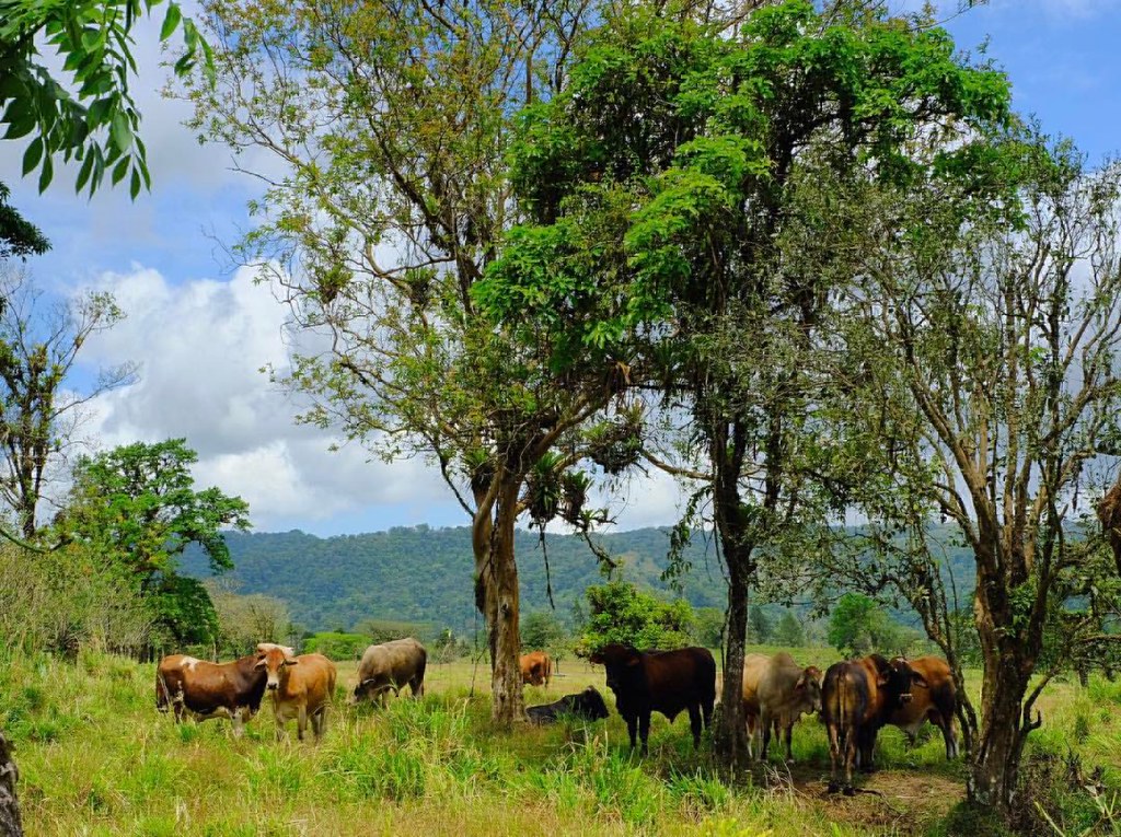
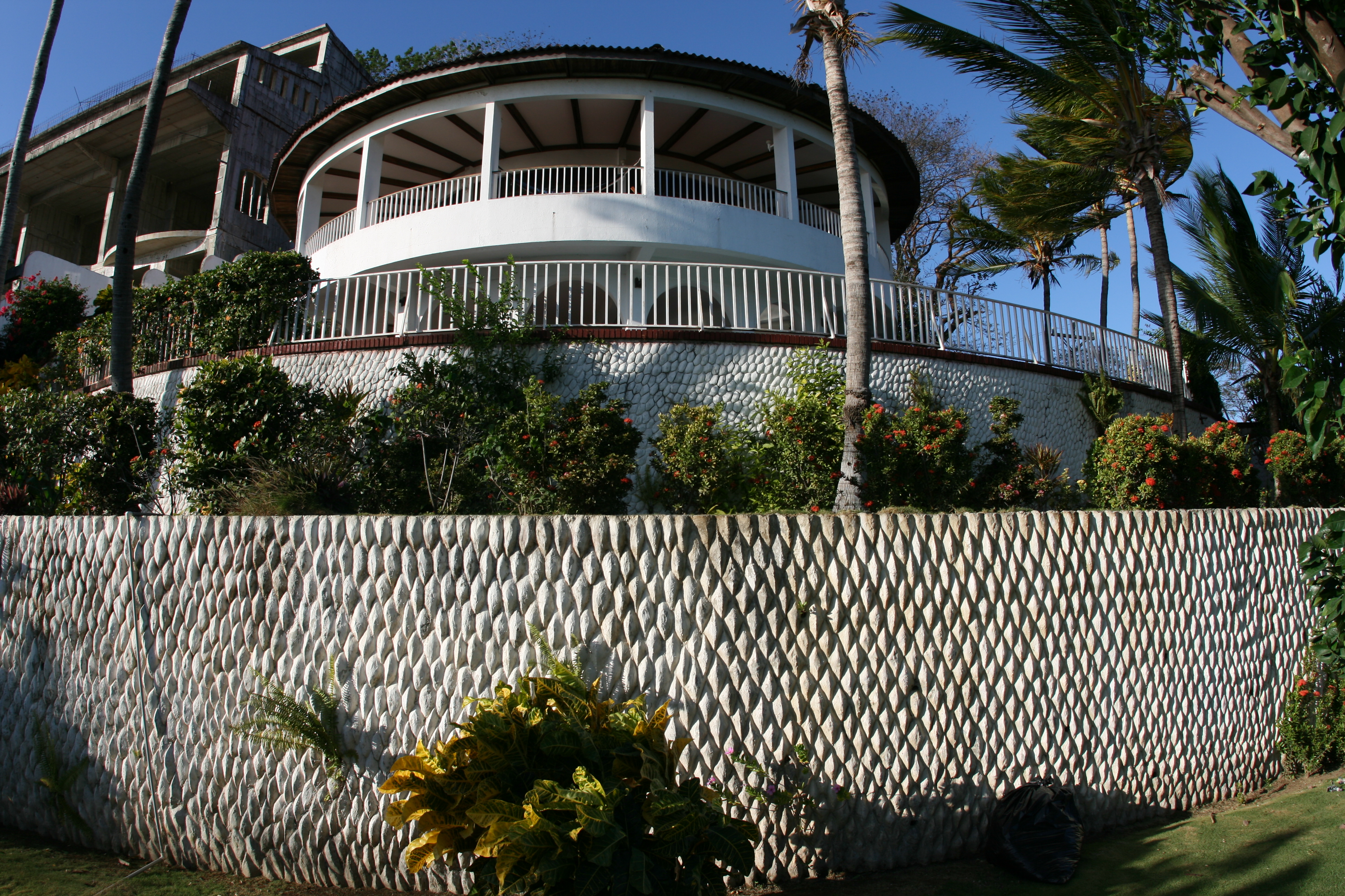
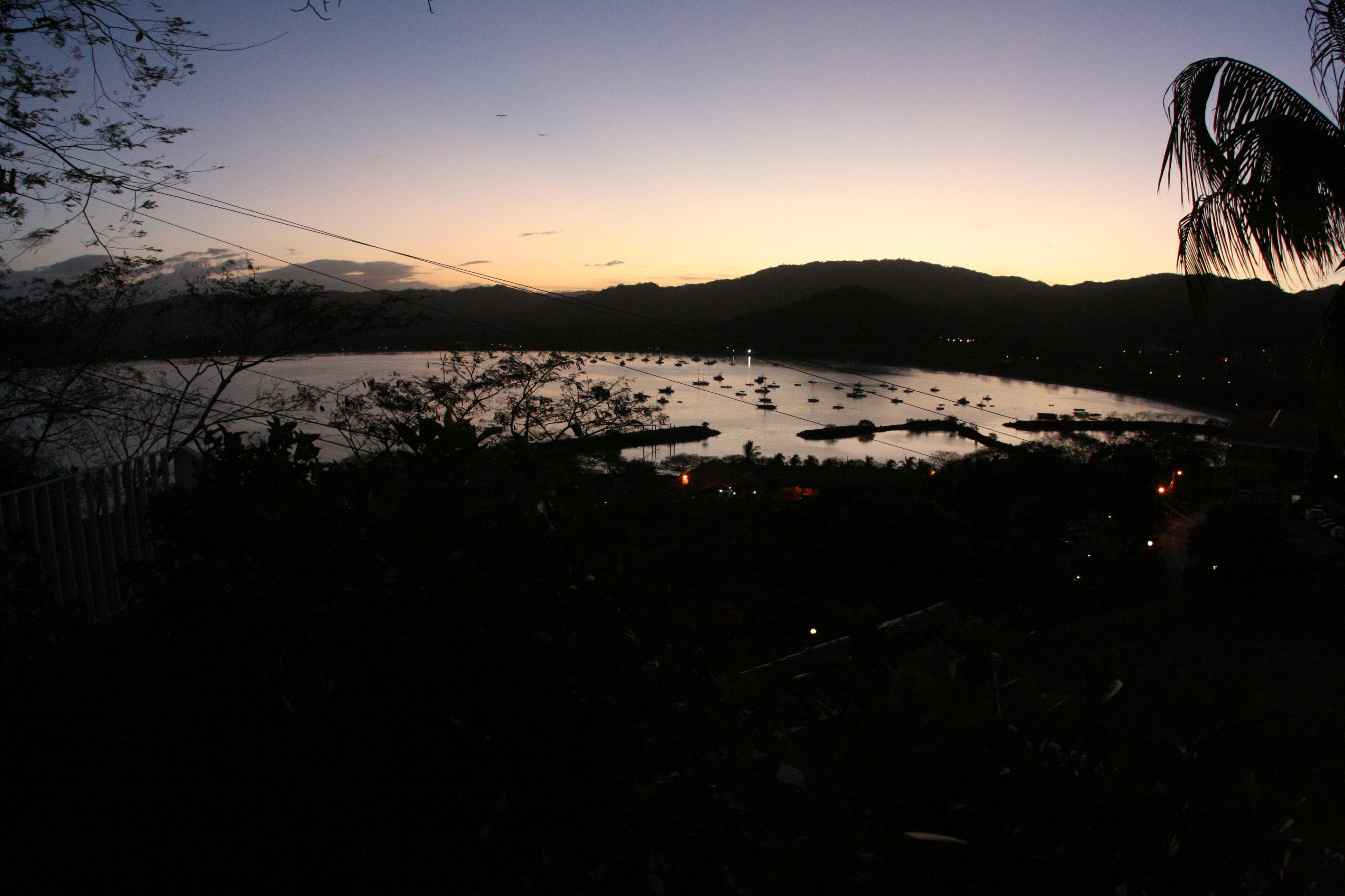
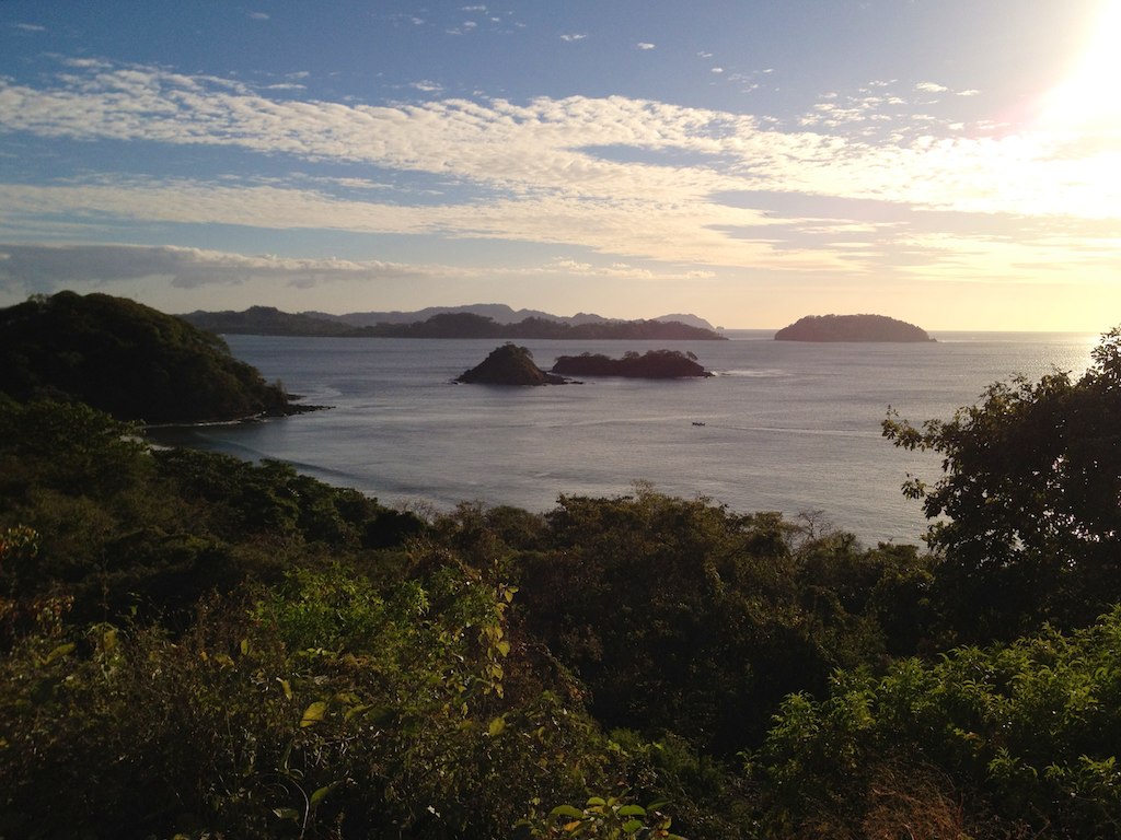
Related Photos:
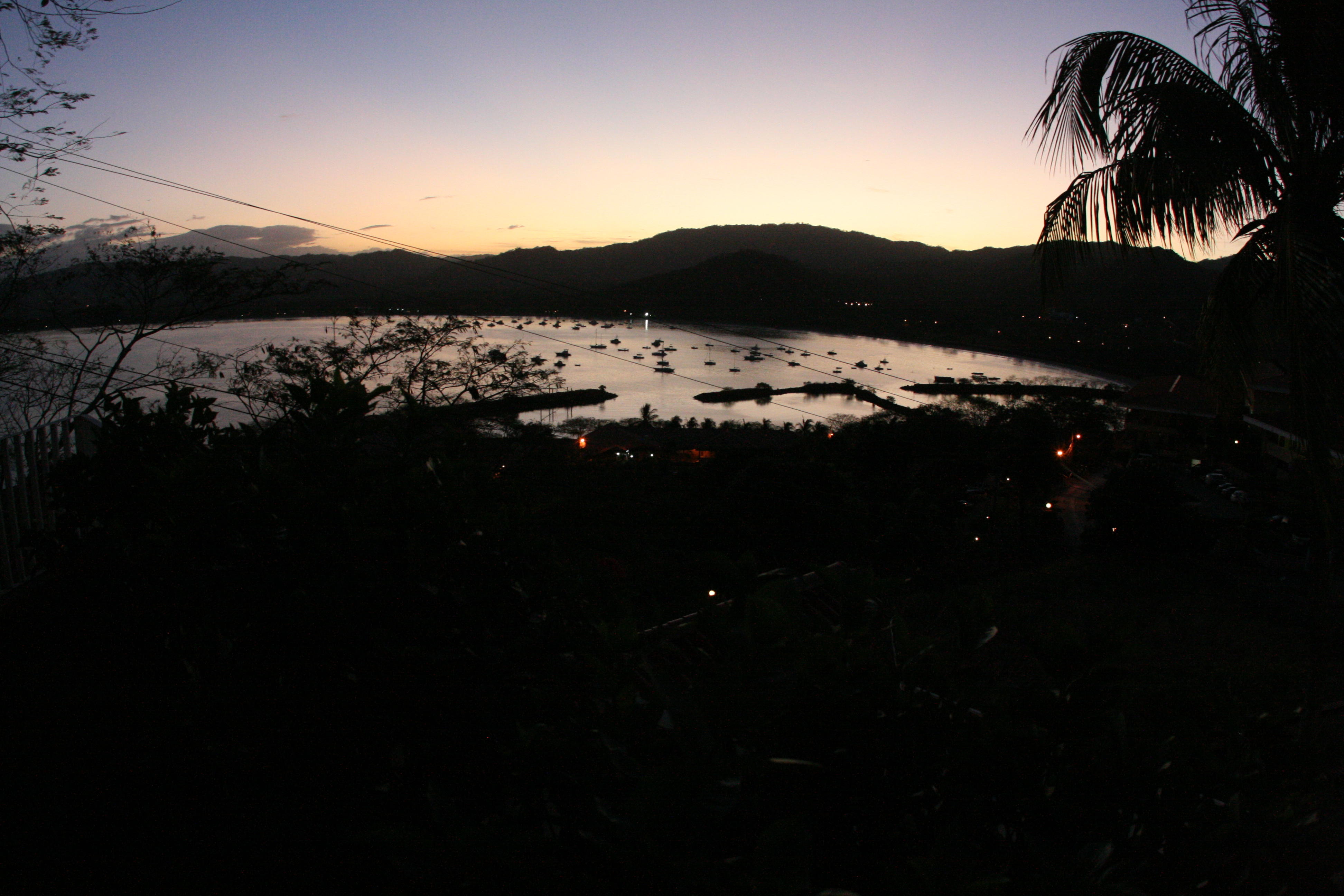
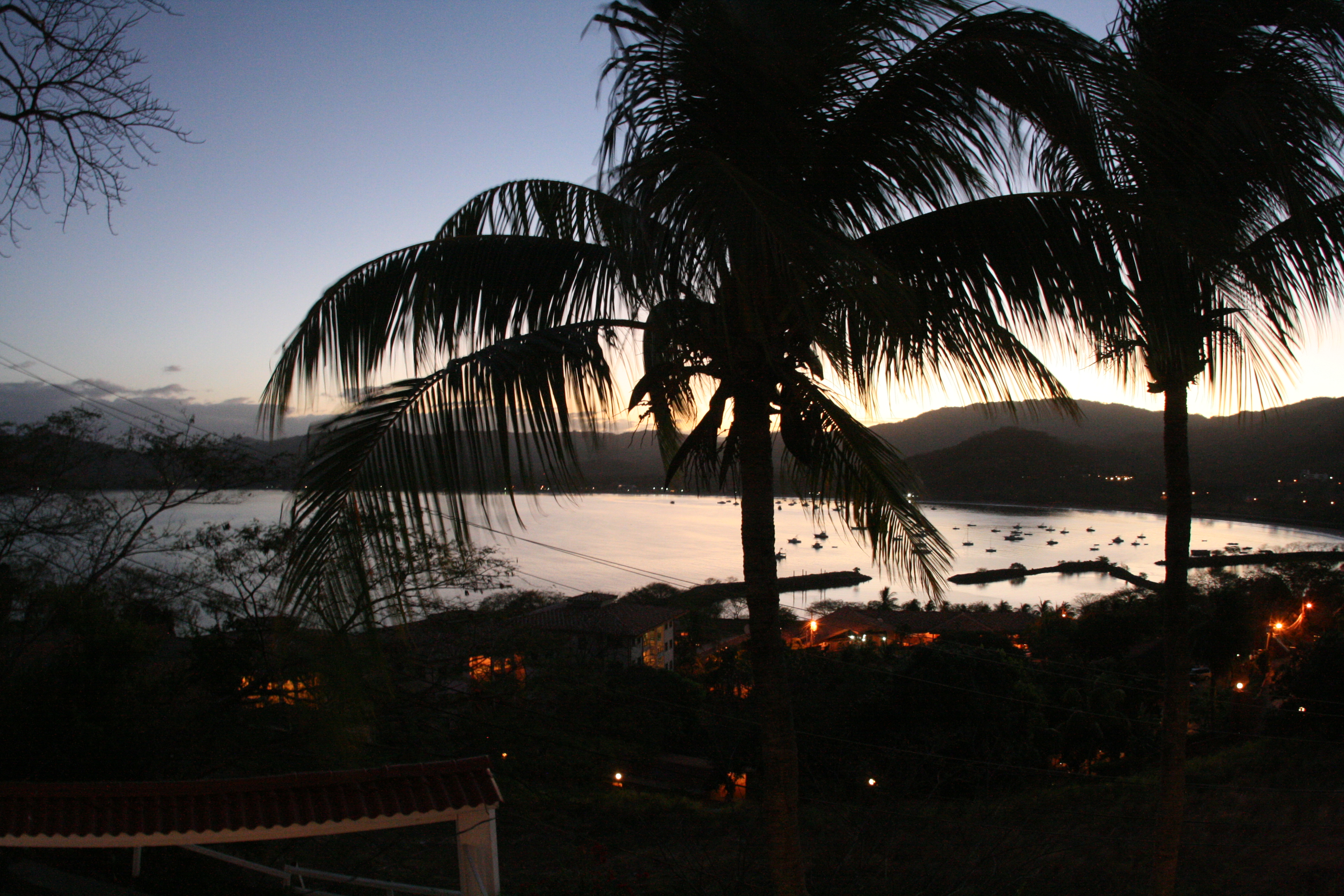
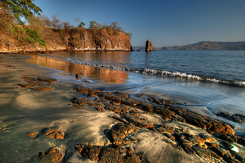
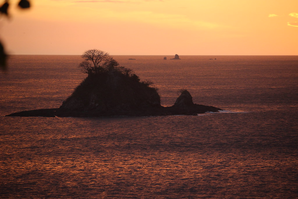
Baya De Los Pirates
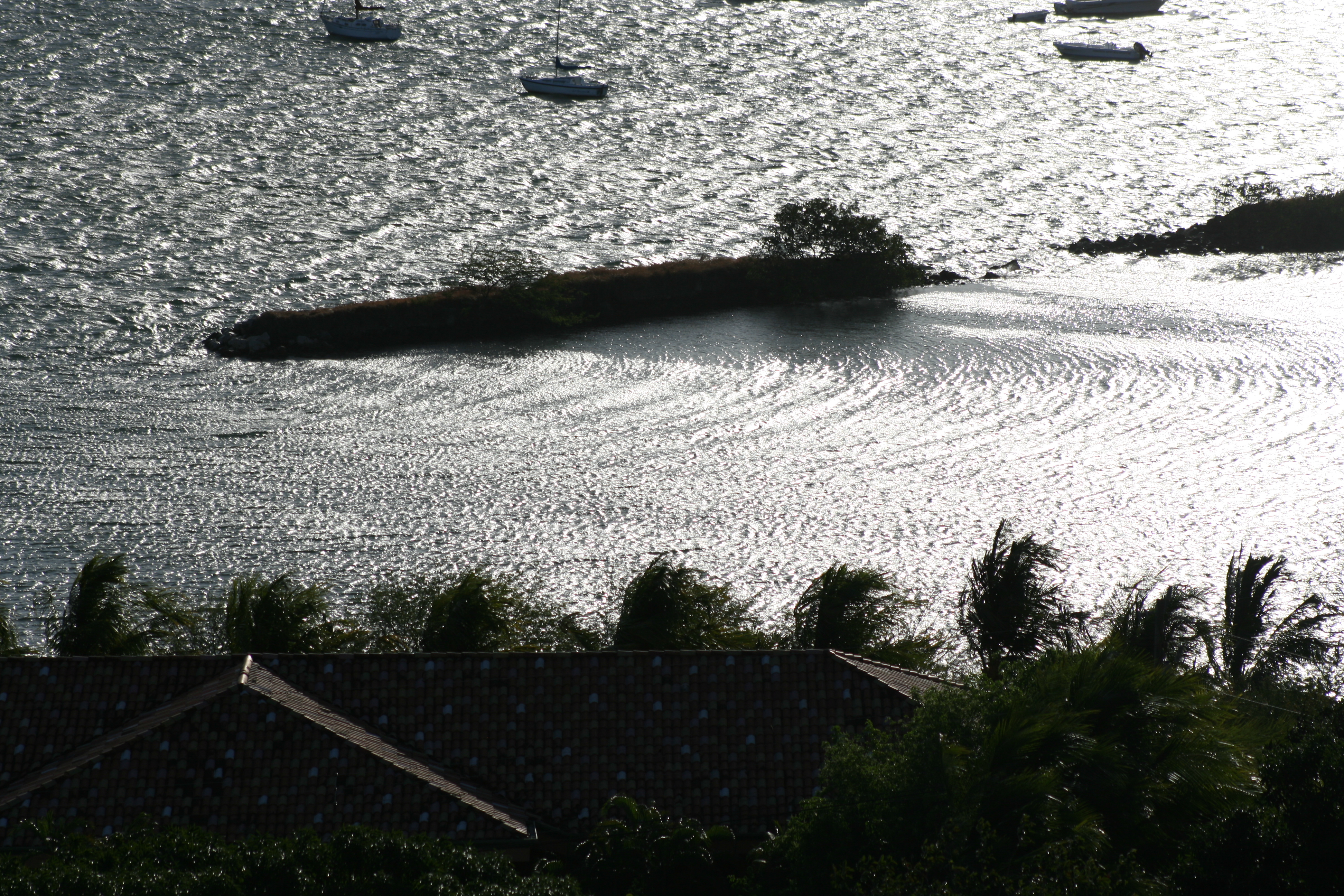
Costa Rica 2012 (61)
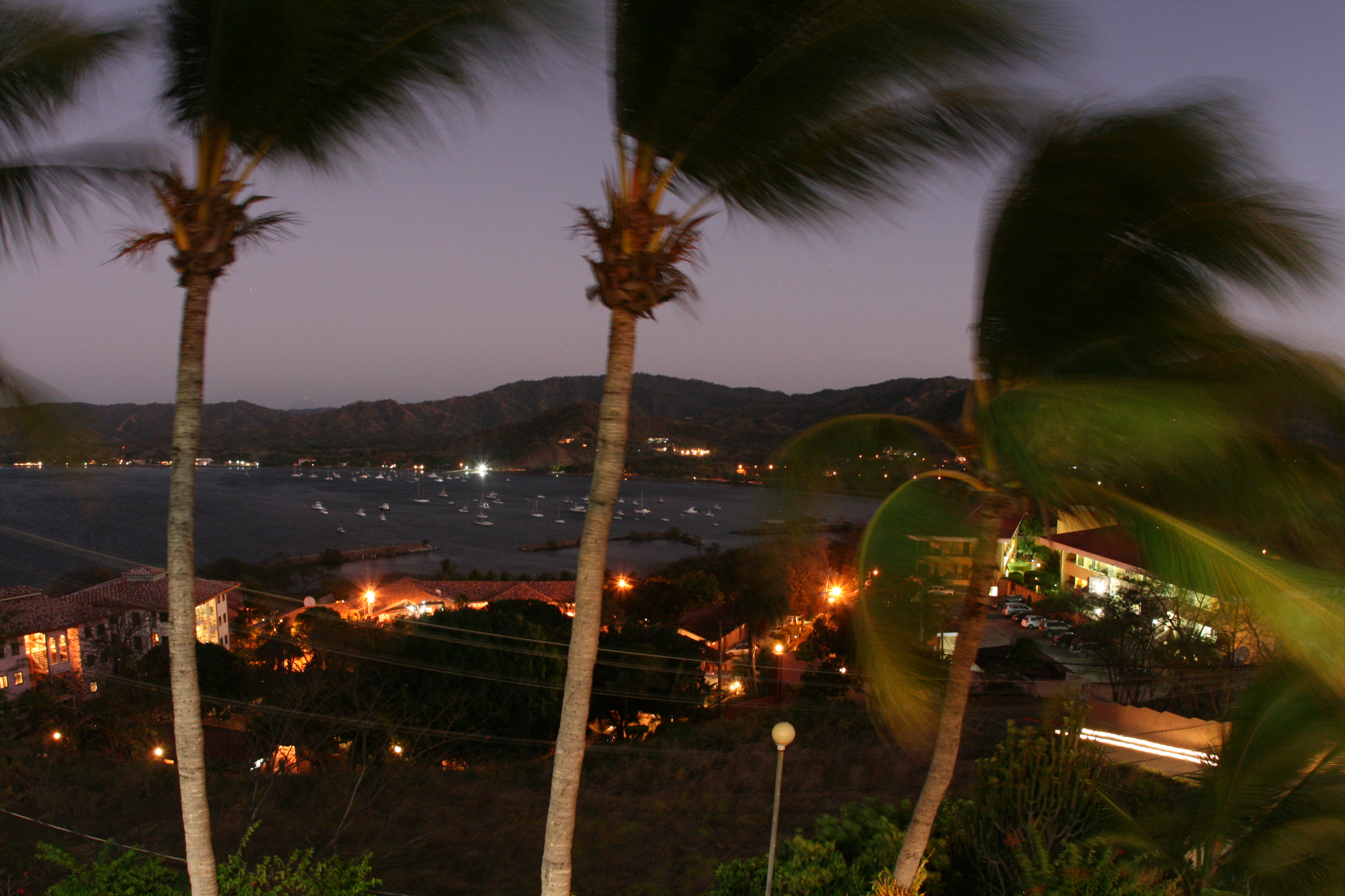
Poolside & my resort review
Playa Danta, Mirador

Jill and her father
Roadside view while driving through #costarica #guanacaste
Costa Rica 2012 (137)
Costa Rica 2012 (161)

Costa Rica 2012 (147)
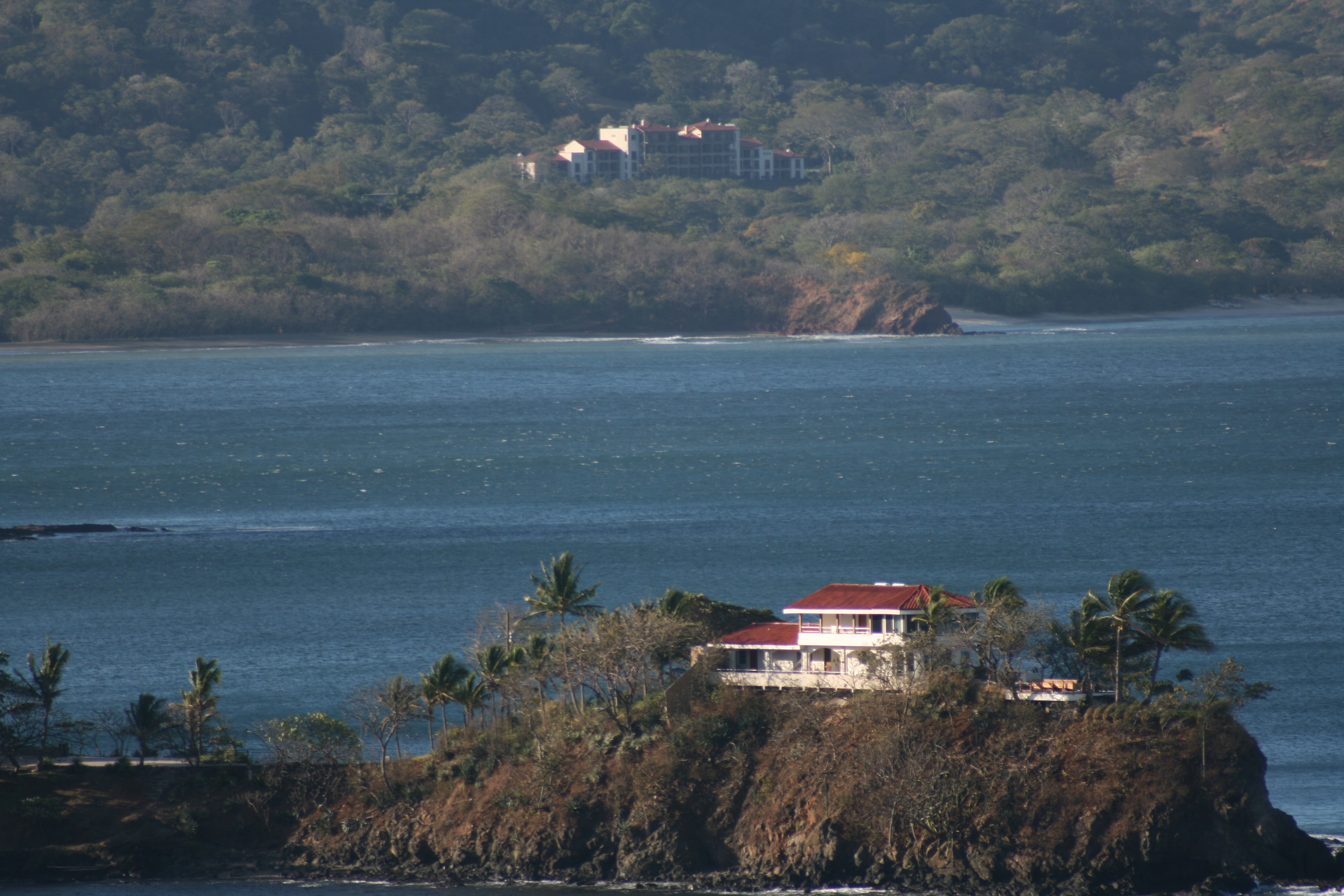
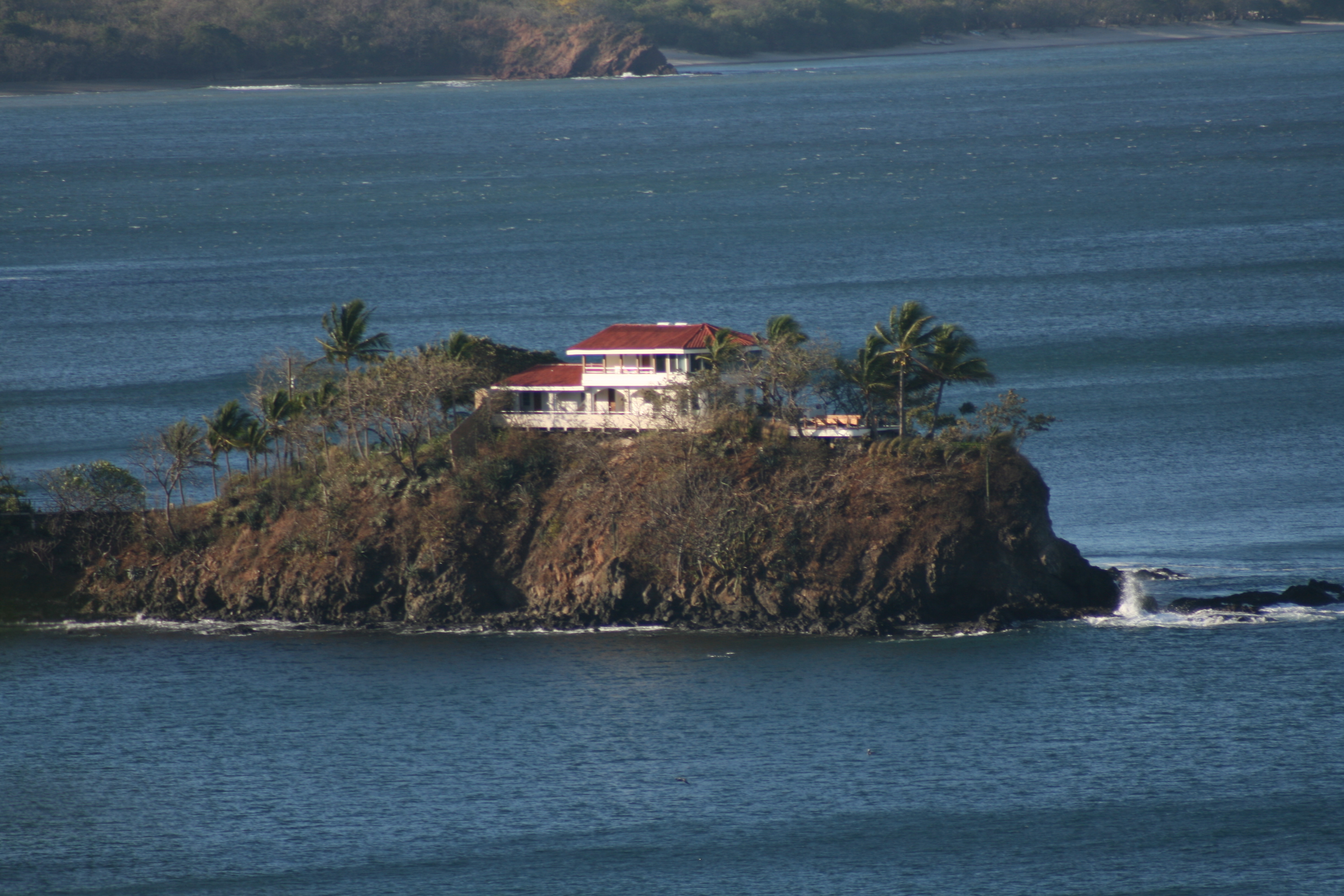
The View
Costa Rica 2012 (163)
Costa Rica 2012 (104)
Costa Rica 2012 (152)
Costa Rica 2012 (149)

Hats. Hats. We've Got Hats!!
Costa Rica 2012 (148)
Costa Rica 2012 (107)
Costa Rica 2012 (105)
The hanging bridge circuit includes both #bridges and #trails. The bridges overlook a dense #canopy- allowing visitors to peer directly into the upper reaches of the #forest - and have fantastic views of the Arenal Volcano in the background. Trails conn
Costa Rica 2012 (160)
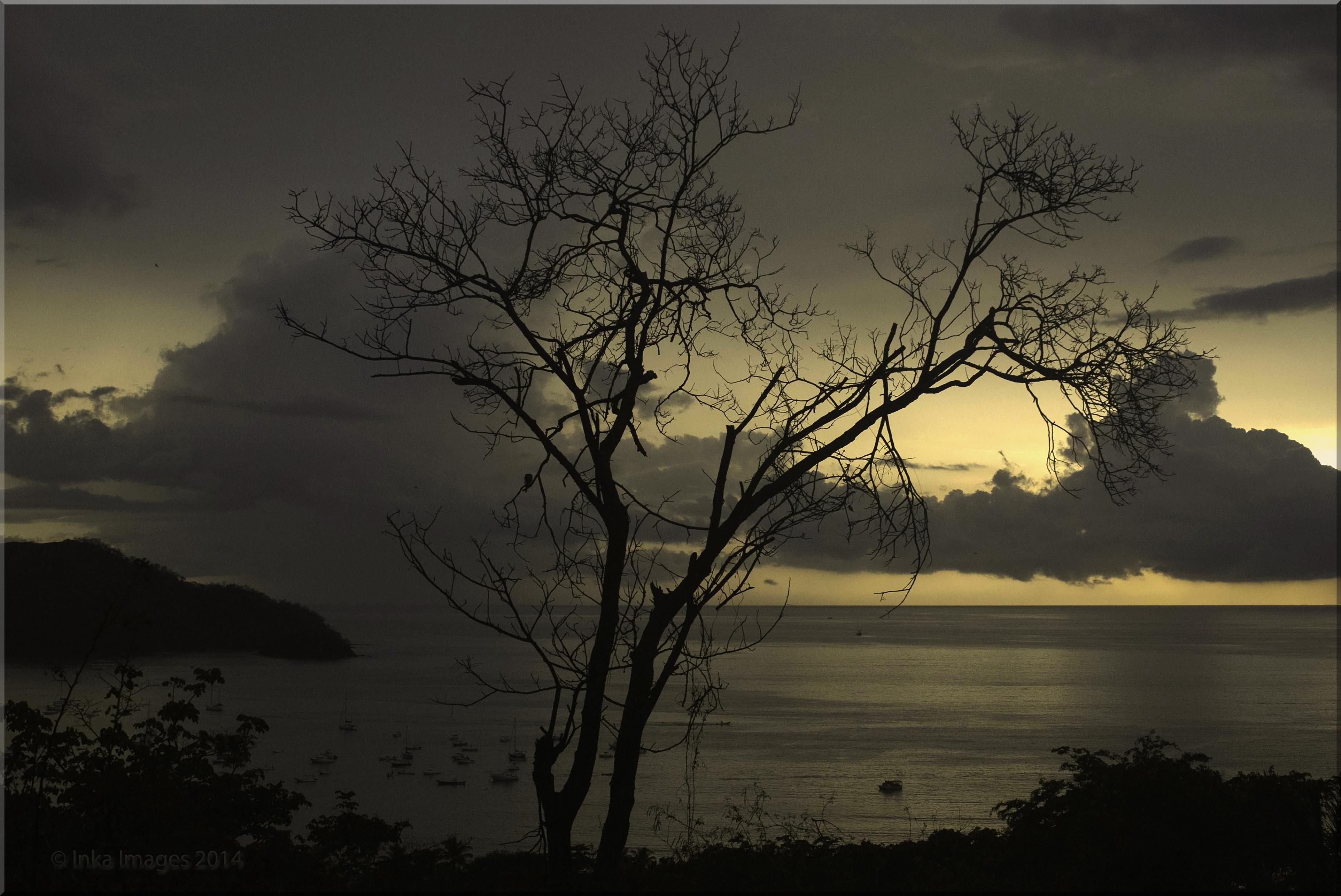
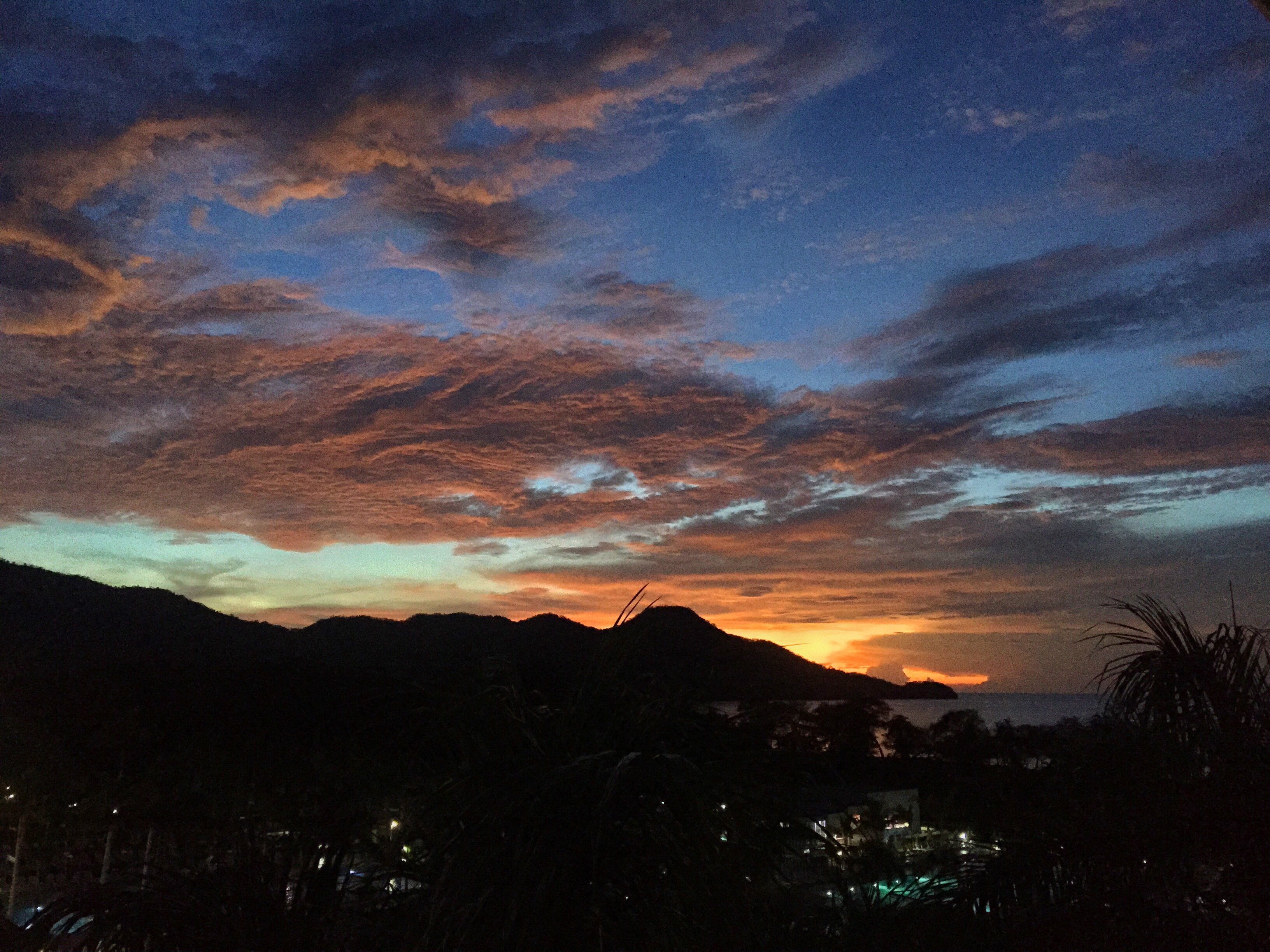
Skies at Sunset_P6046380-1
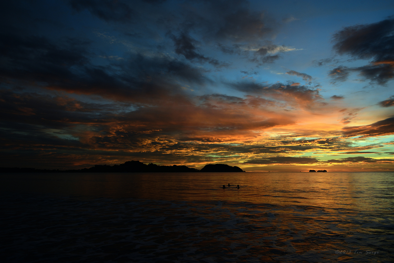
Tarde de Julio
Before sunset

Playa Roble
Salt and Pepper Sands

Del mar, como la canción

Se despertó, queriendo ver el sol

Luz y oscuridad; una sin otra, no existiría

2018-05-13_10-58-42

Sunset at Playa Grande
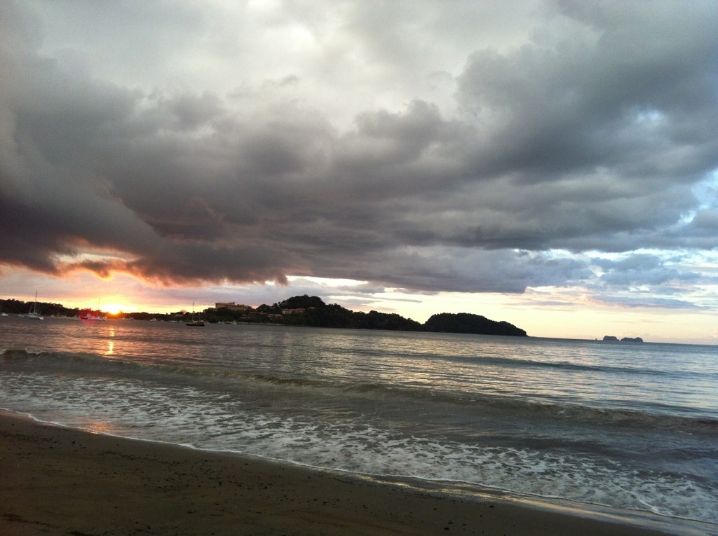
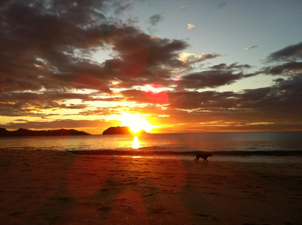
Sunset Over Flamingo
Playa Grande Sunset
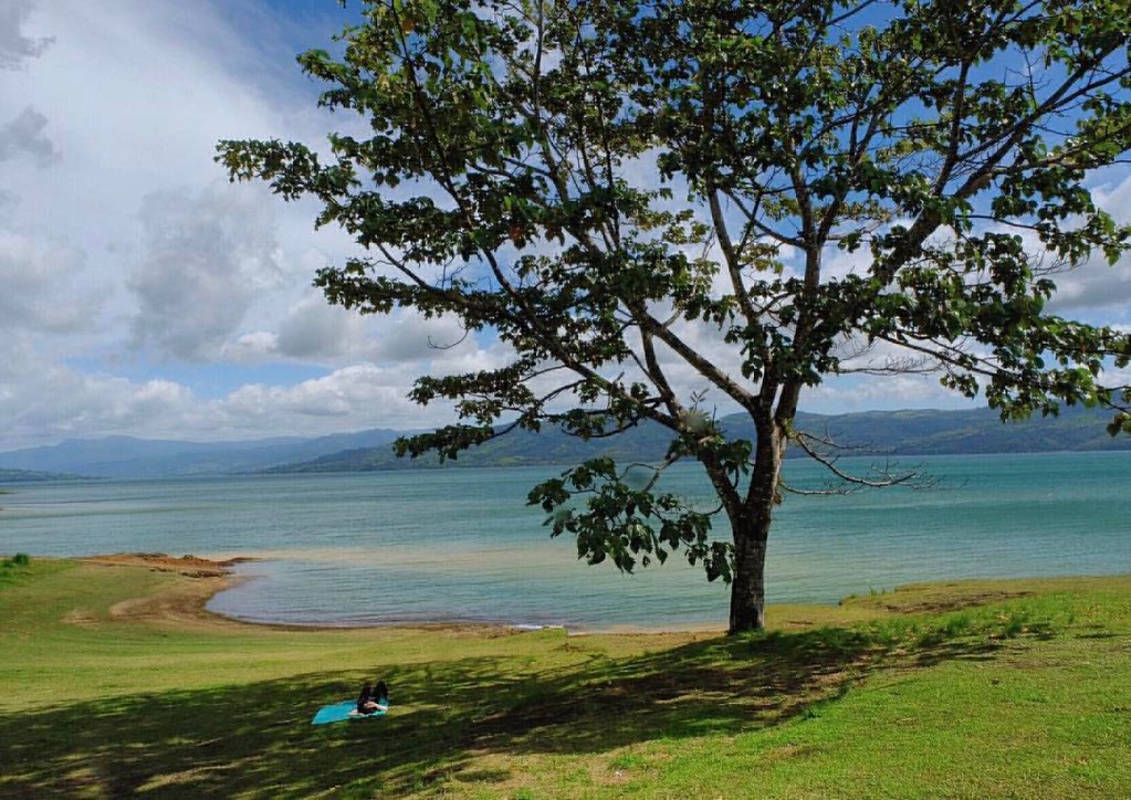
Found our own lil' shady spot perfect for afternoon napping #costarica #puravida
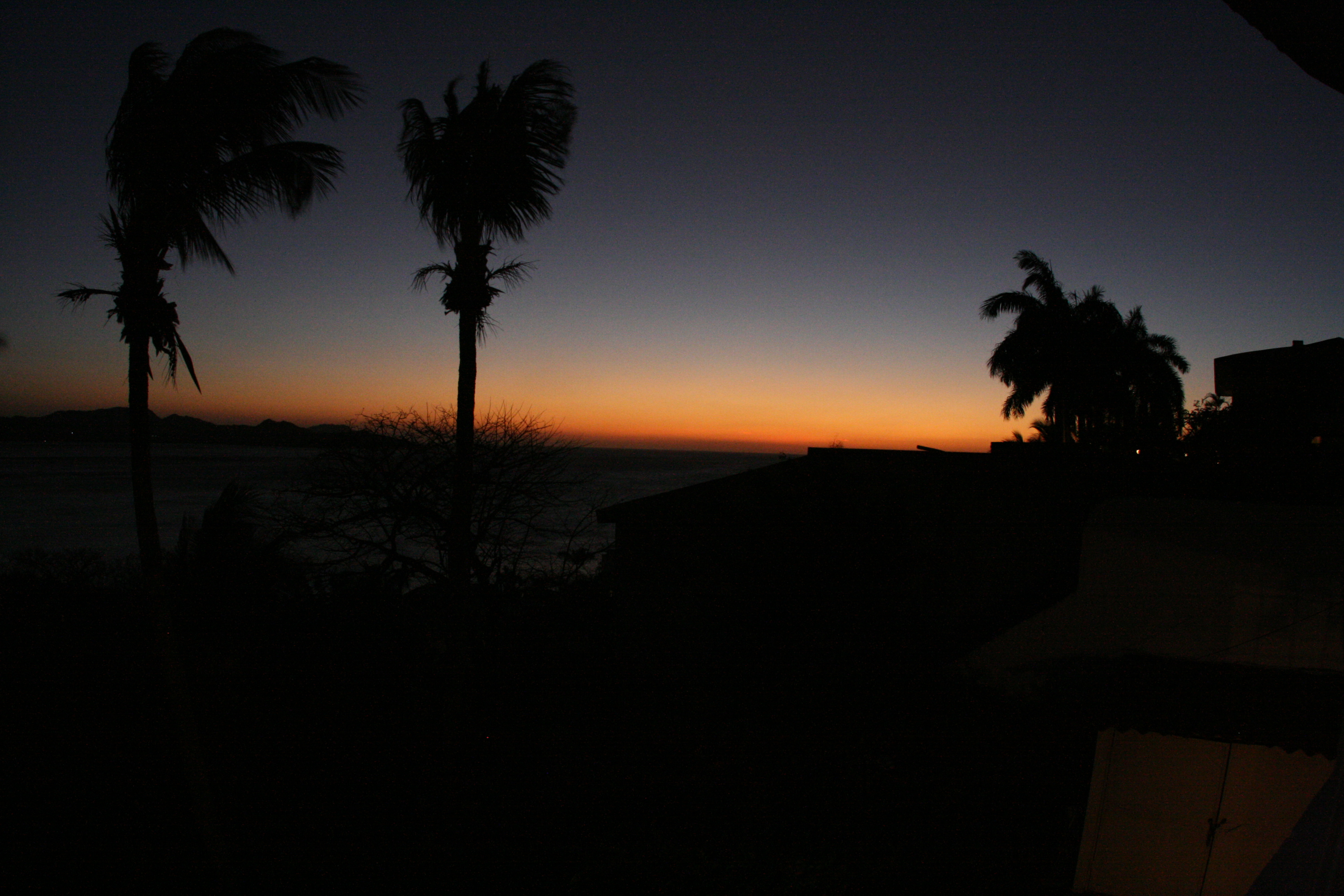
costa rican sunset.

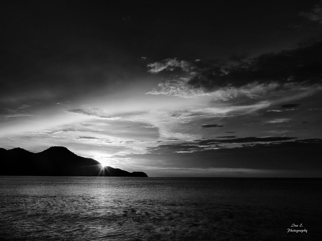
Sunrise at Flamingo, Guanacaste, Costa Rica.
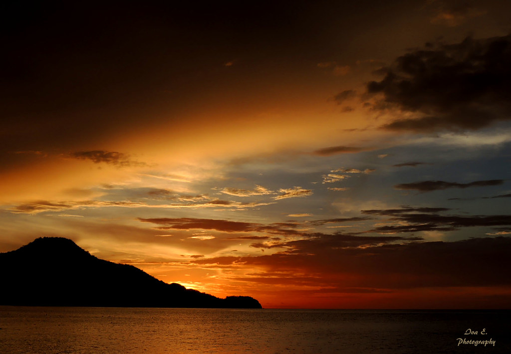
A Most Outstanding Sunset
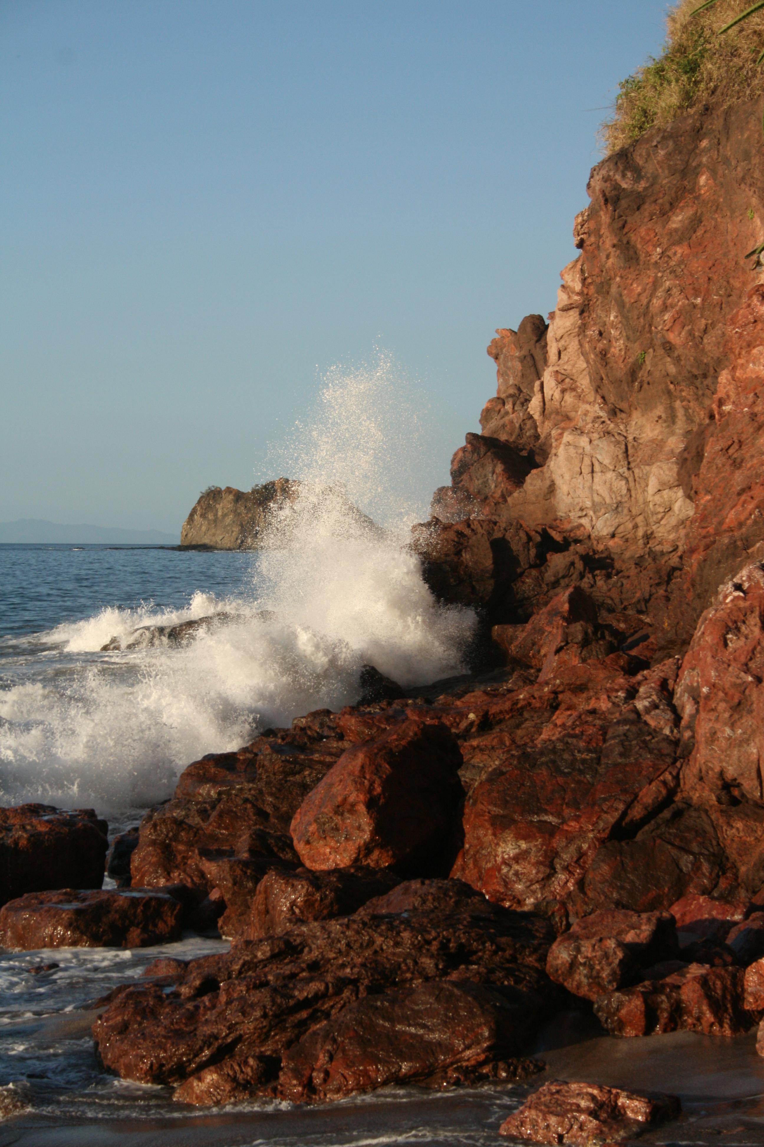
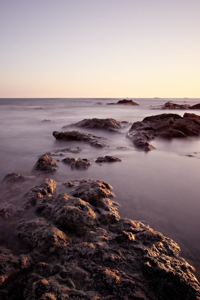
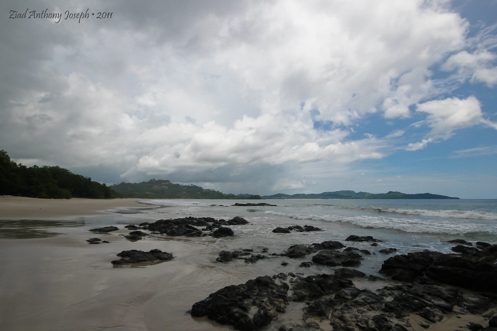
Surf at the beach at Pirate Bay
Playa Penca Sunset v1.4
Playa Danta

Playa Penca Sunset v.1.3
Playa Flamingo
Topographic Map of Guanacaste Province, Potrero, Costa Rica
Find elevation by address:

Places near Guanacaste Province, Potrero, Costa Rica:
Calle Limon
Hotel Riu Guanacaste
Ocotal Beach
Del Coco Beach
Cartagena
Four Seasons Resort Costa Rica At Peninsula Papagayo
Playa Panama
San Francisco
Guanacaste Waldorf School
Filadelfia De Guanacaste
Santa Cruz
Daniel Oduber Quirós International Airport
Liberia
Camarenos
Guanacaste
Buena Vista
Moracia De Nicoya
Nicoya
Qhg3+7f
Borinquen Mountain Resort & Spa - Rincón De La Vieja
Recent Searches:
- Elevation of Felindre, Swansea SA5 7LU, UK
- Elevation of Leyte Industrial Development Estate, Isabel, Leyte, Philippines
- Elevation of W Granada St, Tampa, FL, USA
- Elevation of Pykes Down, Ivybridge PL21 0BY, UK
- Elevation of Jalan Senandin, Lutong, Miri, Sarawak, Malaysia
- Elevation of Bilohirs'k
- Elevation of 30 Oak Lawn Dr, Barkhamsted, CT, USA
- Elevation of Luther Road, Luther Rd, Auburn, CA, USA
- Elevation of Unnamed Road, Respublika Severnaya Osetiya — Alaniya, Russia
- Elevation of Verkhny Fiagdon, North Ossetia–Alania Republic, Russia