Elevation of Grundy County, IA, USA
Location: United States > Iowa >
Longitude: -92.857710
Latitude: 42.4369506
Elevation: 331m / 1086feet
Barometric Pressure: 97KPa
Elevation Map:
Satellite Map:
Related Photos:
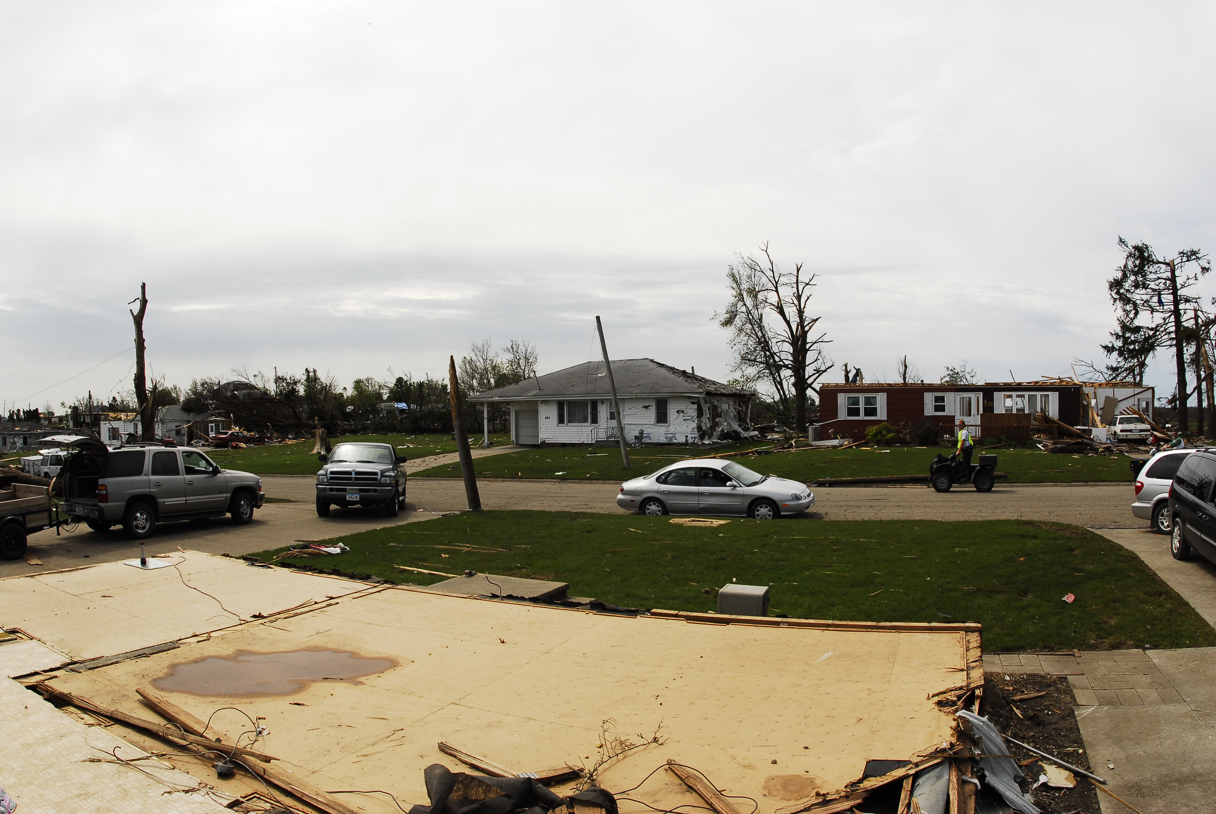
Parkersburg Tornado 71

Parkersburg Tornado 69

Parkersburg Tornado 67

Parkersburg Tornado 70
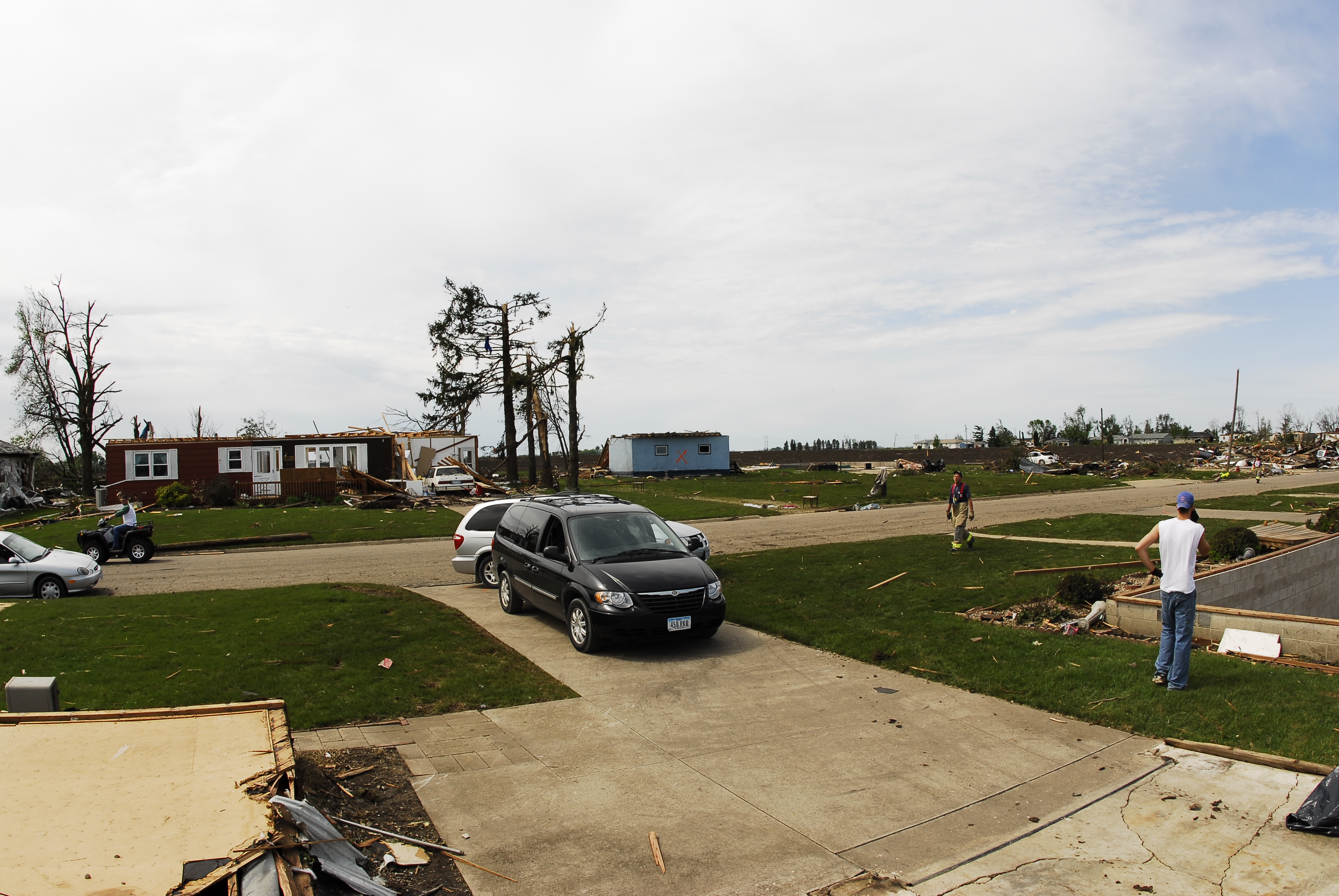
Parkersburg Tornado 66

Parkersburg Tornado 68
Peace. The view from the hot tub late at night.

Back view of the Griswold signal for southbound traffic on S56
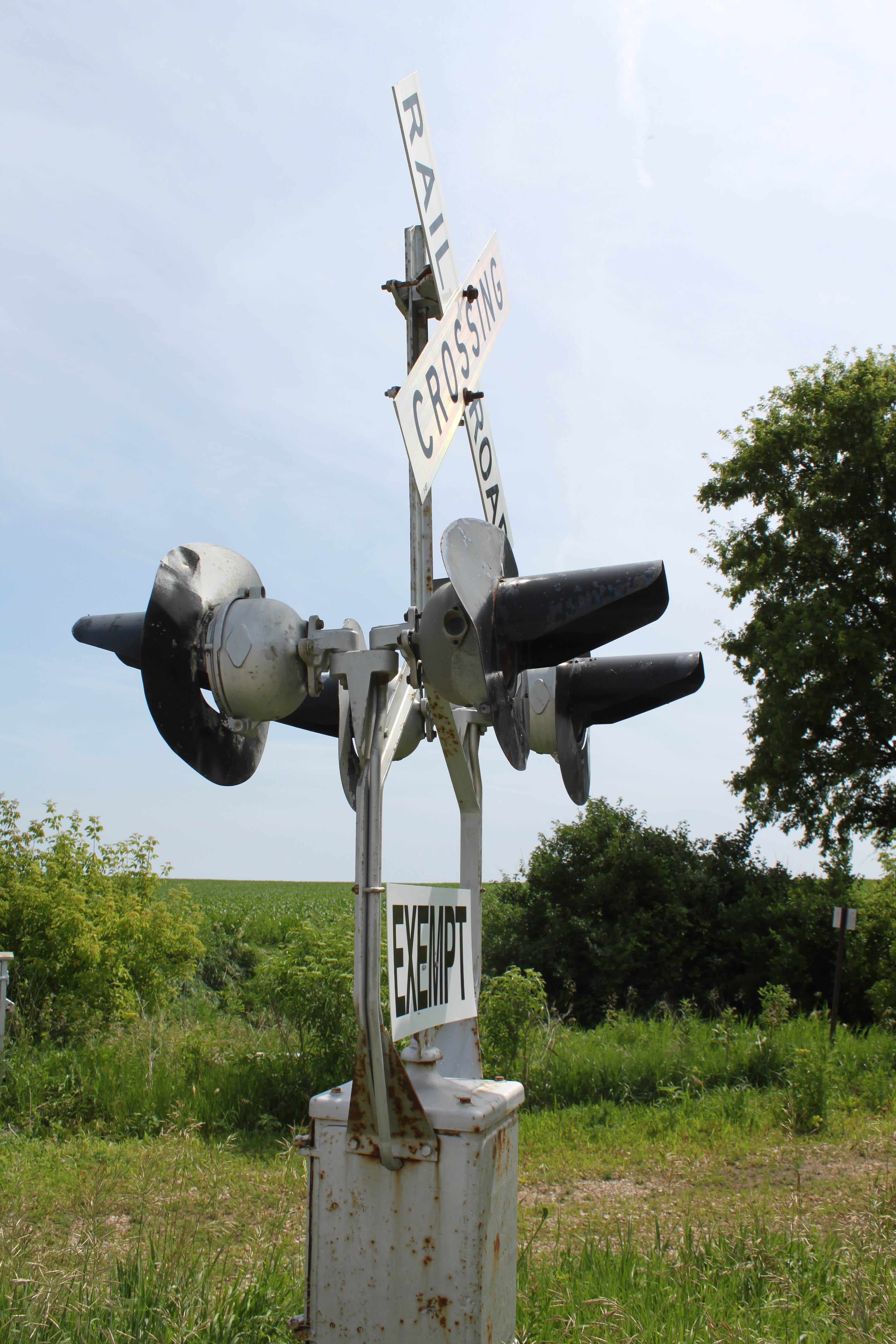
Side view of the northbound Griswold signal on S56
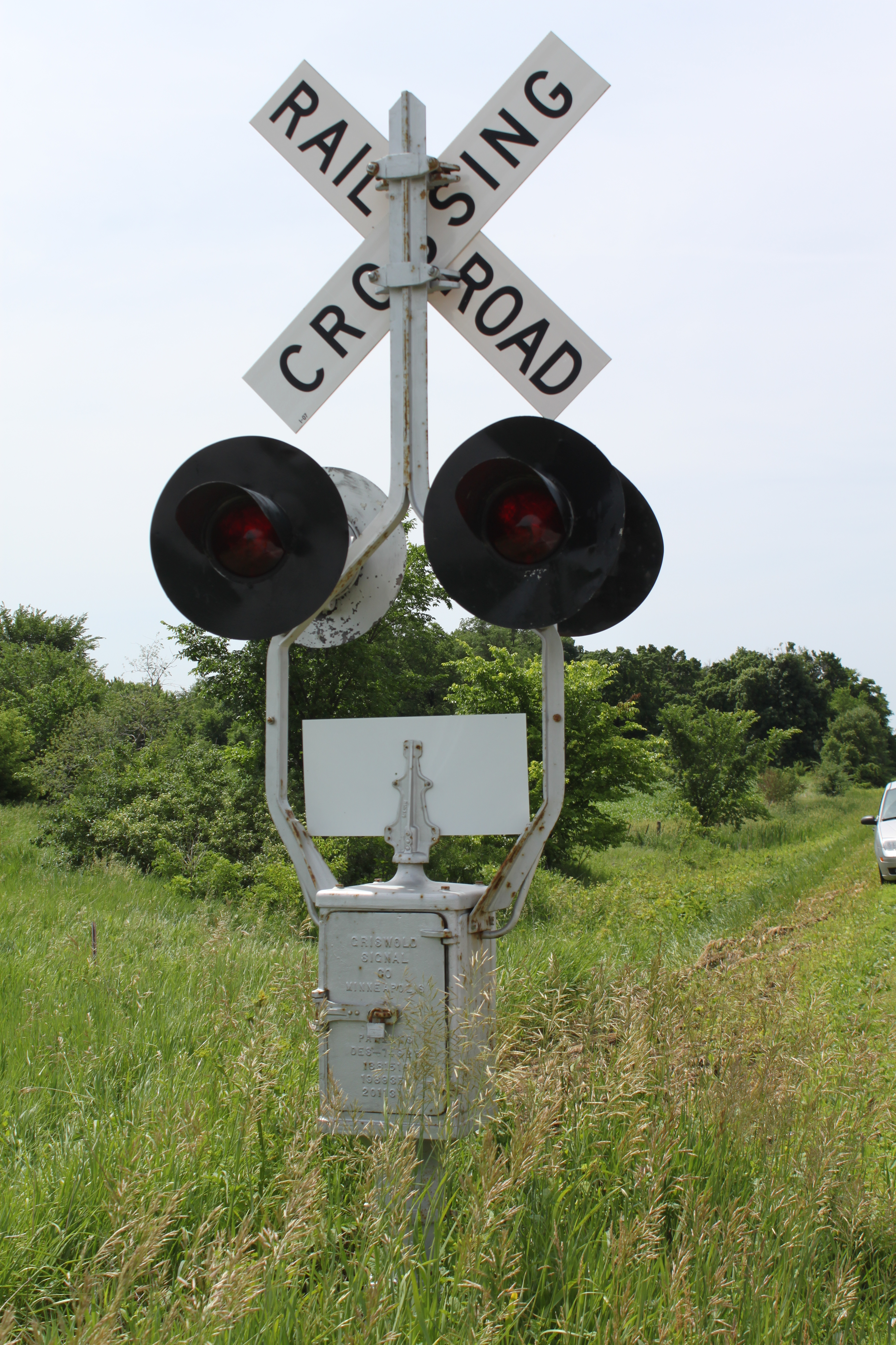
Back view of the Griswold signal for northbound traffic on S56

Parkersburg Tornado 4

Parkersburg Tornado 88
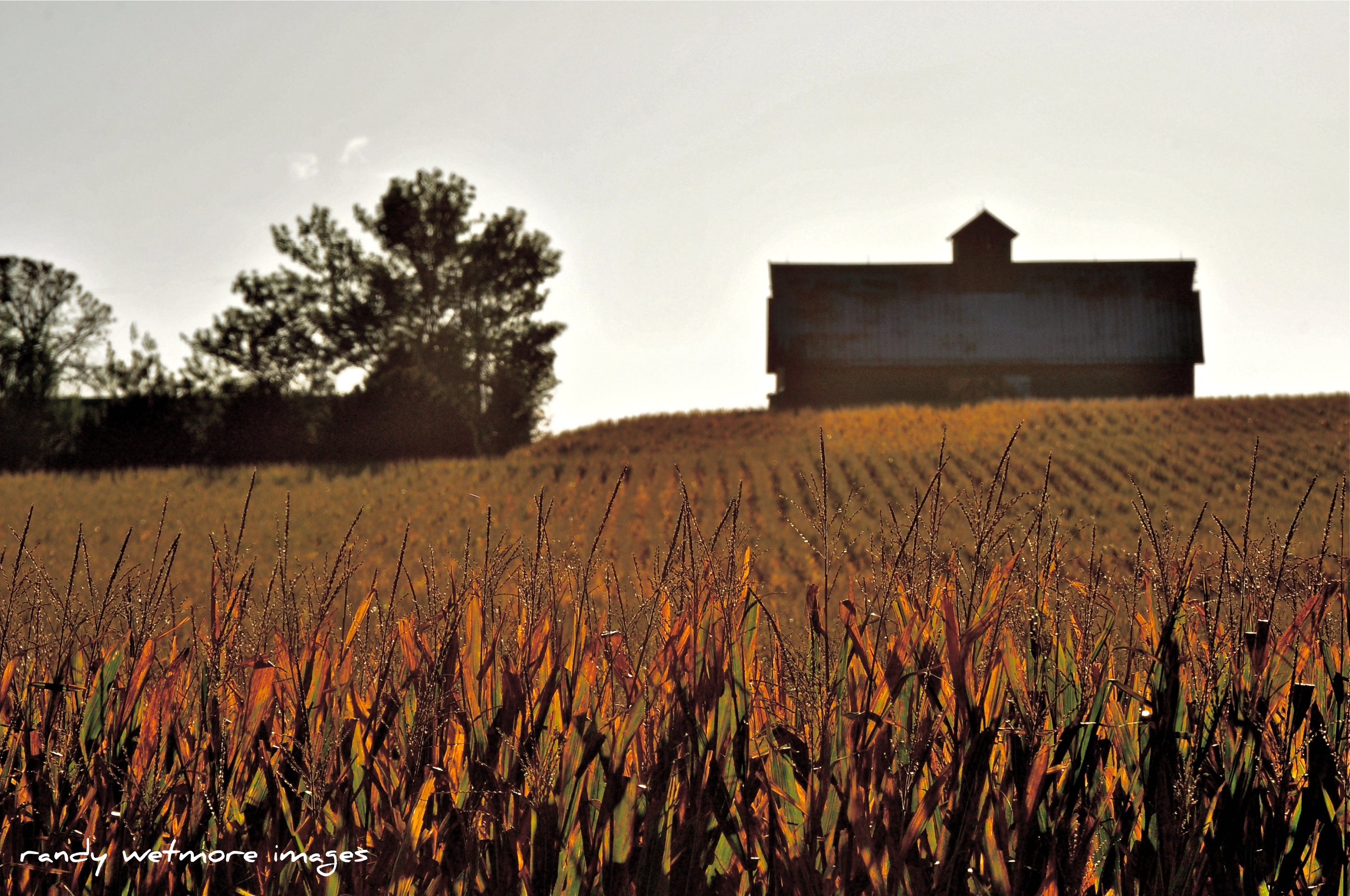
Iowa Harvest is Near

Quilt Barn along Rt14/175, Iowa
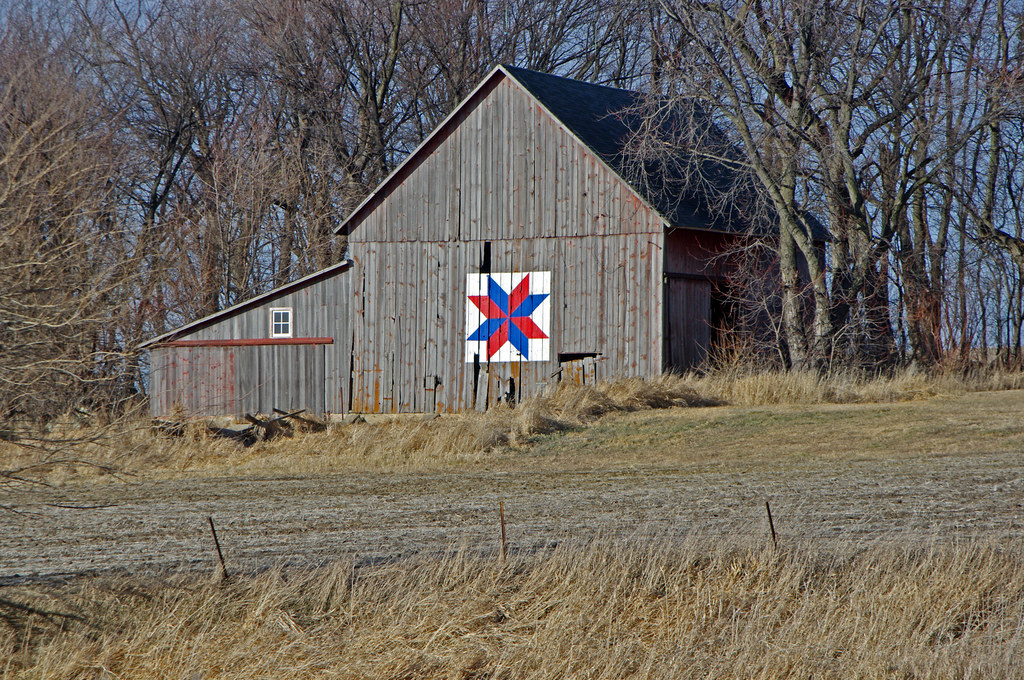
Quilt barn, Rt14, Iowa
Topographic Map of Grundy County, IA, USA
Find elevation by address:

Places in Grundy County, IA, USA:
Places near Grundy County, IA, USA:
20601 205th St
3rd St, Wellsburg, IA, USA
Palermo
Aplington
Parriott St, Aplington, IA, USA
Clay
Monroe
st St, Ackley, IA, USA
Conrad
N Main St, Conrad, IA, USA
Clay
25254 W Ave
33921 J Ave
Ackley
Center St, Union, IA, USA
Etna
Edgington Ave, Eldora, IA, USA
Eldora
21879 T Ave
Madison
Recent Searches:
- Elevation of Steadfast Ct, Daphne, AL, USA
- Elevation of Lagasgasan, X+CQH, Tiaong, Quezon, Philippines
- Elevation of Rojo Ct, Atascadero, CA, USA
- Elevation of Flagstaff Drive, Flagstaff Dr, North Carolina, USA
- Elevation of Avery Ln, Lakeland, FL, USA
- Elevation of Woolwine, VA, USA
- Elevation of Lumagwas Diversified Farmers Multi-Purpose Cooperative, Lumagwas, Adtuyon, RV32+MH7, Pangantucan, Bukidnon, Philippines
- Elevation of Homestead Ridge, New Braunfels, TX, USA
- Elevation of Orchard Road, Orchard Rd, Marlborough, NY, USA
- Elevation of 12 Hutchinson Woods Dr, Fletcher, NC, USA