Elevation of Grove Road, Grove Rd, Casa De Oro-Mount Helix, CA, USA
Location: United States > California > San Diego County > El Cajon >
Longitude: -116.93545
Latitude: 32.7744622
Elevation: 209m / 686feet
Barometric Pressure: 99KPa
Elevation Map:
Satellite Map:
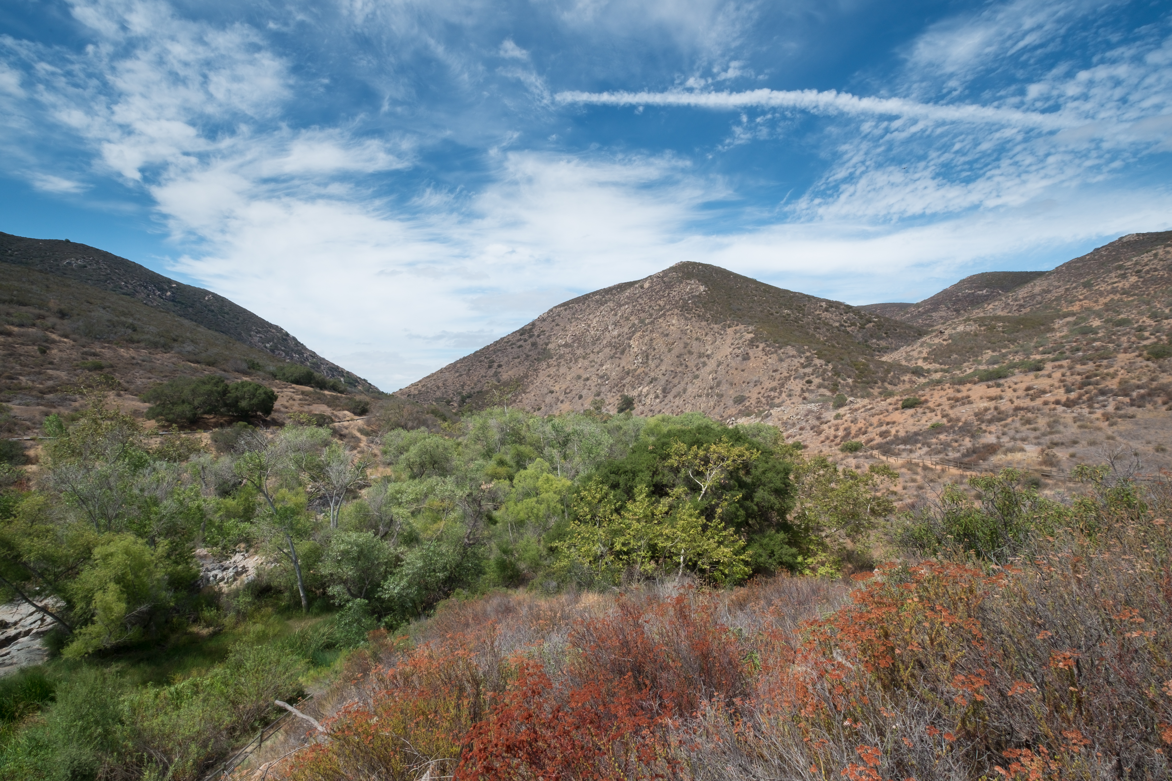
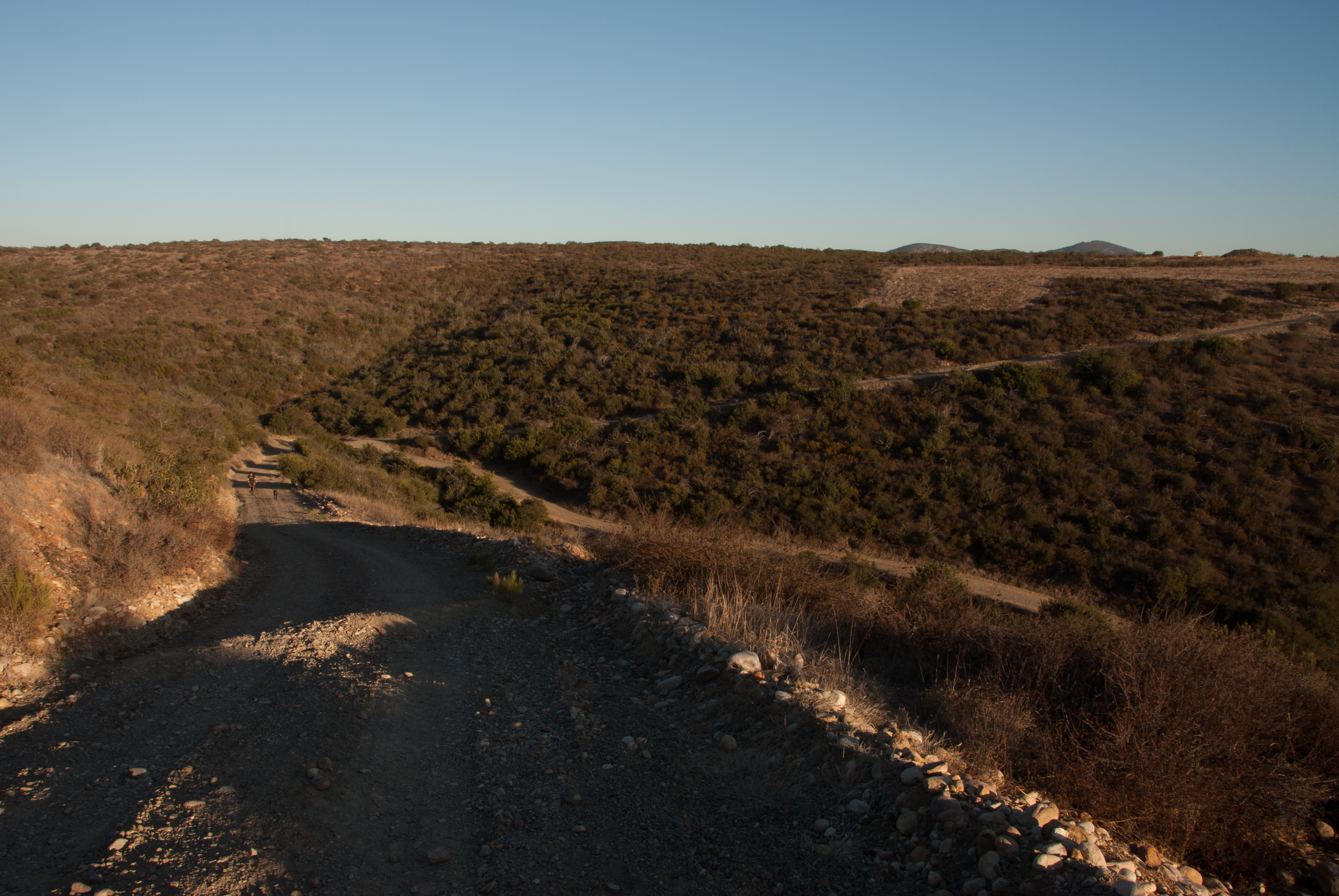
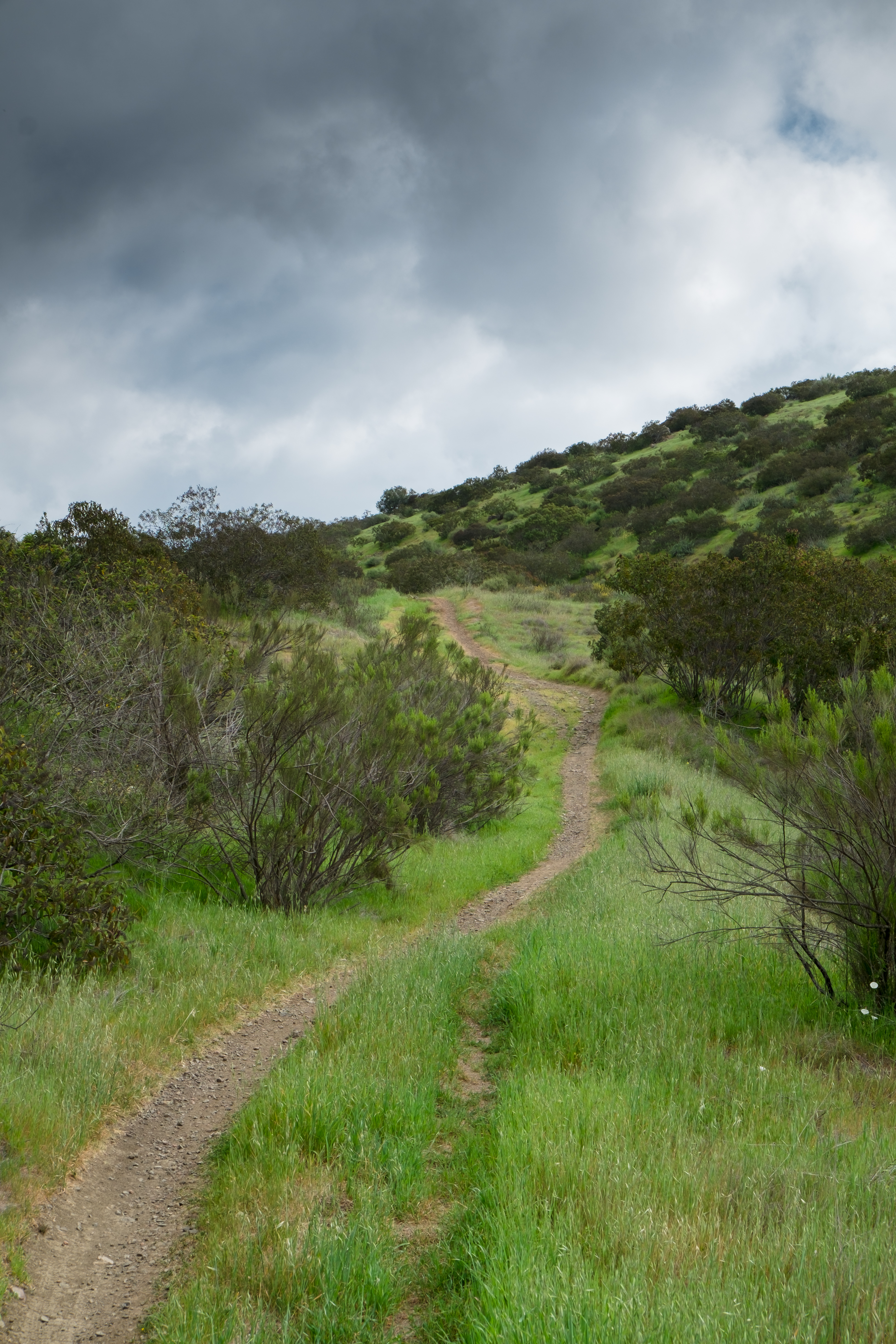
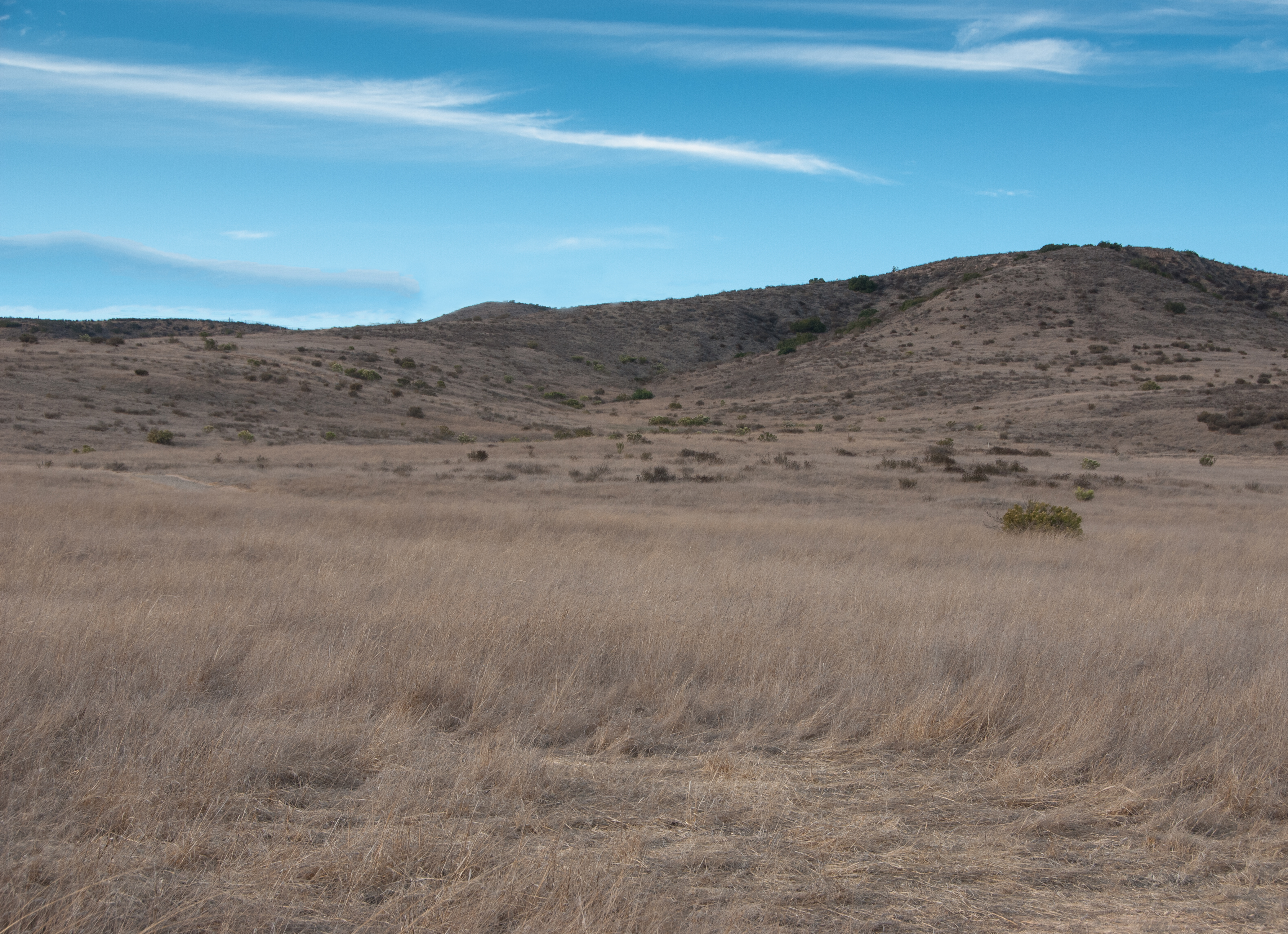
Related Photos:

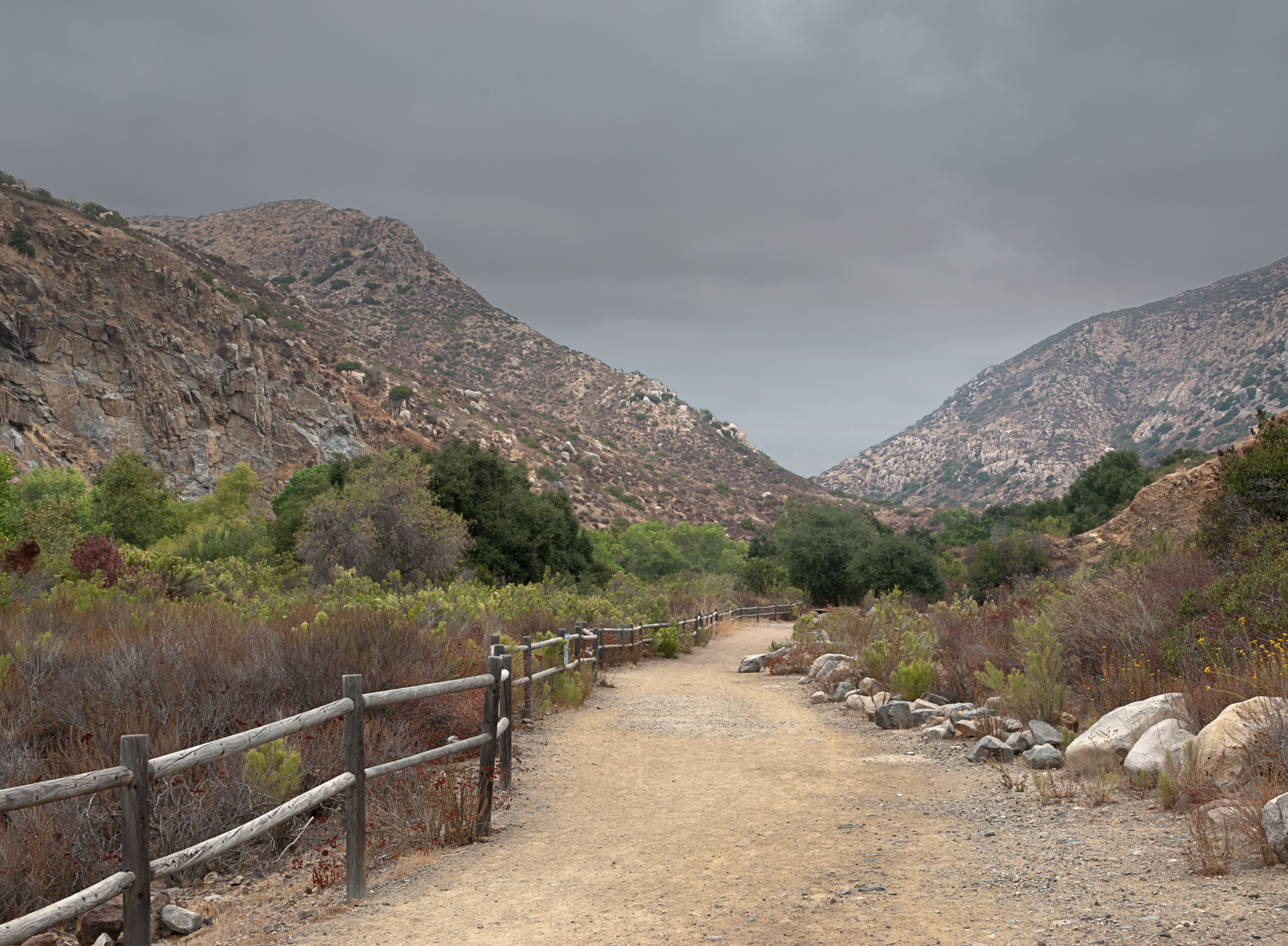
Trail or Traffic

Santee Lakes on the Winter Solstice With Sun Flare - Infrared

Delicate Dance (Egretta Thula), Snowy Egret

4540 E Talmadge Drive, San Diego 92116 - Kensington Home for Sale - Glen Henderson
Oak Creek Running Across Oak Creek Drive IR

Lower Otay Reservoir

Morning Fog

Mute Swan Splash

Fiona Flamingo

4540 E Talmadge Drive, San Diego 92116 - Kensington Home for Sale - Glen Henderson

Otay Lakes Sunrise - Sepia

Mt. Helix

Lake Jennings

Cowles Sunrise
Panoramic view of Santee at sunset.

Mulberry Leaf Patterns

Peeking through an opening between two big rocks.

Nighttime view of suburban San Diego County from the top of Blue Rock / Magnolia Boulders mountain in Santee, CA

Color and Textures

Family Time

Sunset View at Cowles Mountain – San Diego, California

Beautiful Otay Lake at Dusk

Over San Diego

Over San Diego

Tree Reflections At Santee Lakes

Lindo Lake - The Temp - Explored

PEDB20161206-040-HDR.jpg
Water along Oak Canyon.

PEDB20120703-032-Edit-Edit.jpg
PEDB20161101-029-Pano.jpg
looking sw from summit
There are more mountains in our future.
Kumeyaay Lake in Mission Trails

PEDB20150714-010-HDR.jpg

Over San Diego
PEDB20130514-004.jpg
Oak Canyon Trail - Mission Trails Park
PEDB20121120-003.jpg
PEDB20130402-036.jpg
PEDB20121023-045-Edit.jpg
Visitor Center Loop Trail - Mission Trails Park
Topographic Map of Grove Road, Grove Rd, Casa De Oro-Mount Helix, CA, USA
Find elevation by address:

Places near Grove Road, Grove Rd, Casa De Oro-Mount Helix, CA, USA:
1844 Grove Rd
Vista Del Valle Blvd, El Cajon, CA, USA
1276 Horizon Ridge
1444 Horizon Pointe
11621 Vernette Ct
10950 Horizon Hills Dr
218 Shady Ln
520 S Mollison Ave
12113 Via Antigua
496 S Lincoln Ave
1941 Vista Grande Rd
988 E Main St
East Main Street
Rancho San Diego
Avenida Ofelita
Puebla Dr, La Mesa, CA, USA
1606 E Madison Ave
2027 Offy Ct
Cuyamaca College
673 Galena St
Recent Searches:
- Elevation of Groblershoop, South Africa
- Elevation of Power Generation Enterprises | Industrial Diesel Generators, Oak Ave, Canyon Country, CA, USA
- Elevation of Chesaw Rd, Oroville, WA, USA
- Elevation of N, Mt Pleasant, UT, USA
- Elevation of 6 Rue Jules Ferry, Beausoleil, France
- Elevation of Sattva Horizon, 4JC6+G9P, Vinayak Nagar, Kattigenahalli, Bengaluru, Karnataka, India
- Elevation of Great Brook Sports, Gold Star Hwy, Groton, CT, USA
- Elevation of 10 Mountain Laurels Dr, Nashua, NH, USA
- Elevation of 16 Gilboa Ln, Nashua, NH, USA
- Elevation of Laurel Rd, Townsend, TN, USA