Elevation of Grouse Road, Grouse Rd, California, USA
Location: United States > California > Lake County > Cobb >
Longitude: -122.72214
Latitude: 38.8449705
Elevation: 938m / 3077feet
Barometric Pressure: 91KPa
Elevation Map:
Satellite Map:
Related Photos:

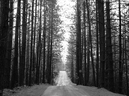
The early path slowly waking up in the morning mist. My #photooftheday #love #nature #hike #photography #picoftheday #beautiful For best viewing see on a large screen TravisElder.com
Tree Palace
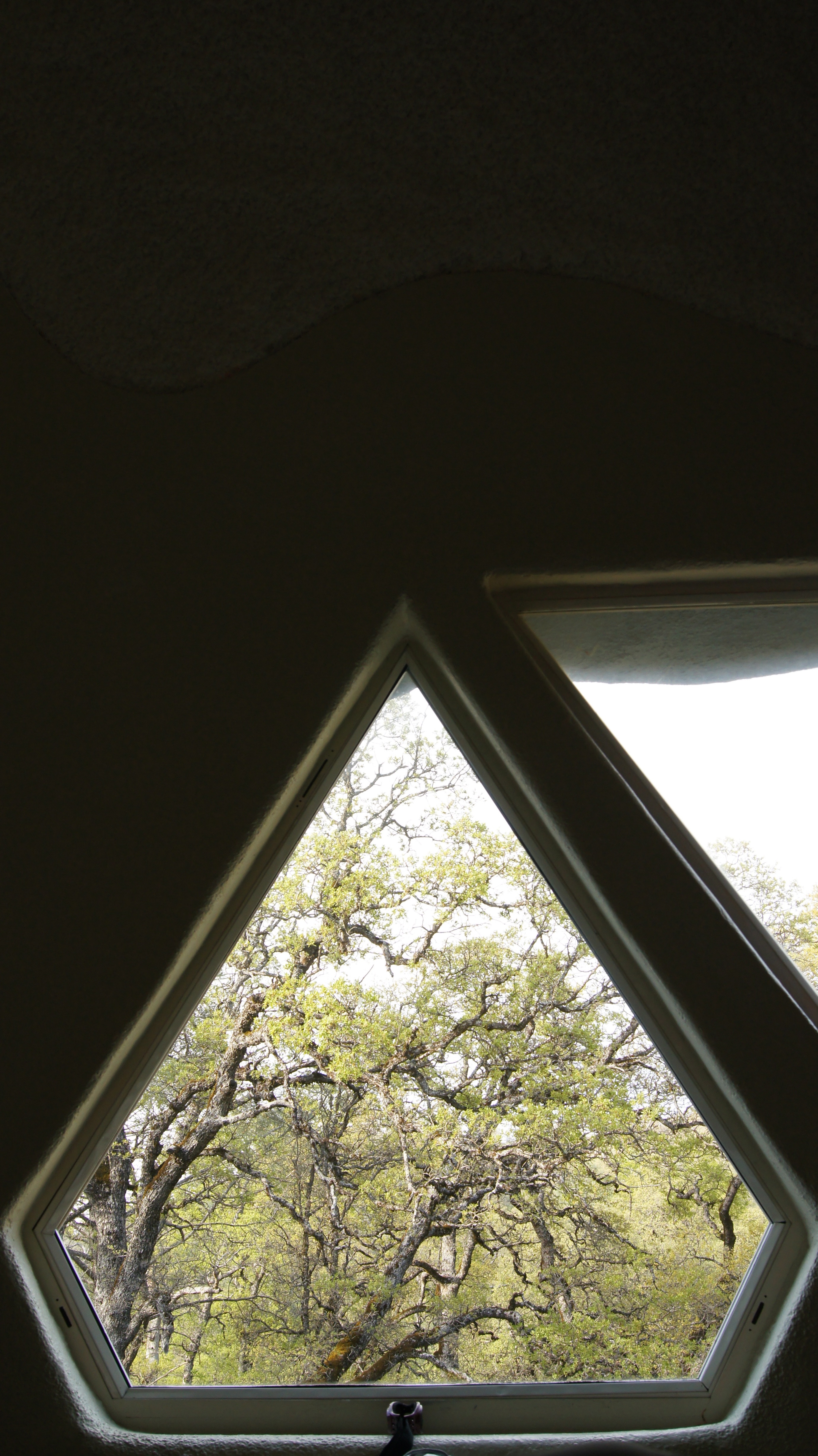
dome view
What They're Up Against
The Drop
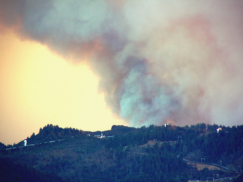
The Rage at Cal Pine

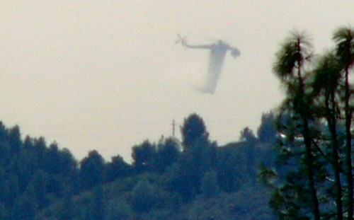
Copter on Patrol Surrounded by the Odds
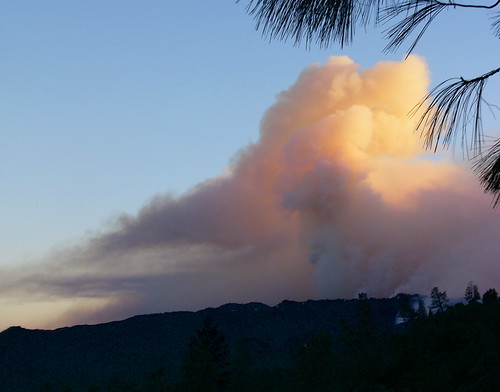
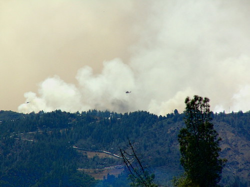
Closer views of the rising Smoke
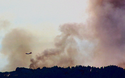
Air Tanker Support
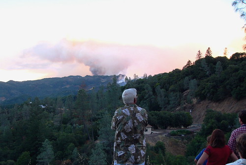
Worried Cobb Mountain Residents
Threatened Dwelling One Ridge Away
Helo Silouette
Eagle Rock
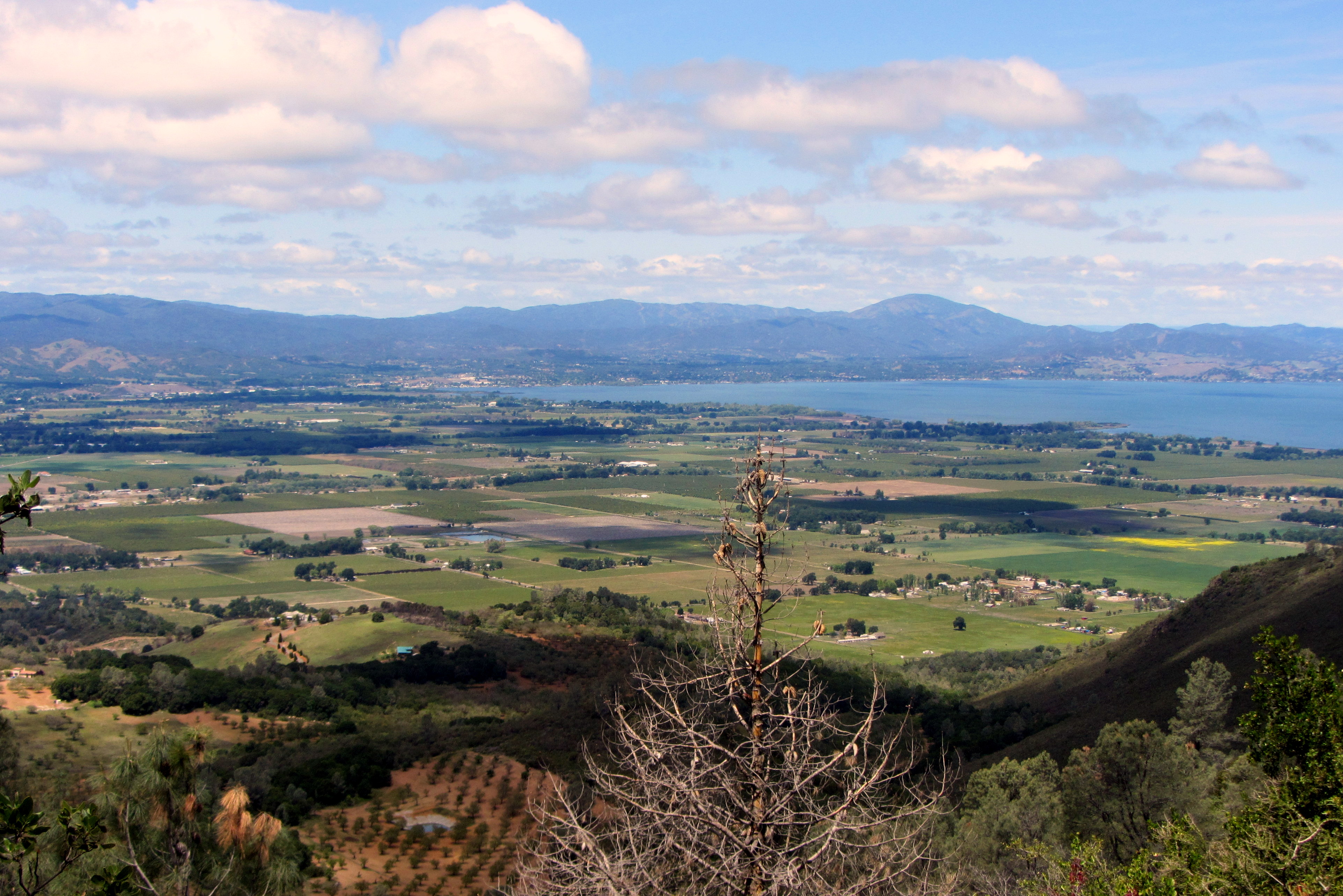
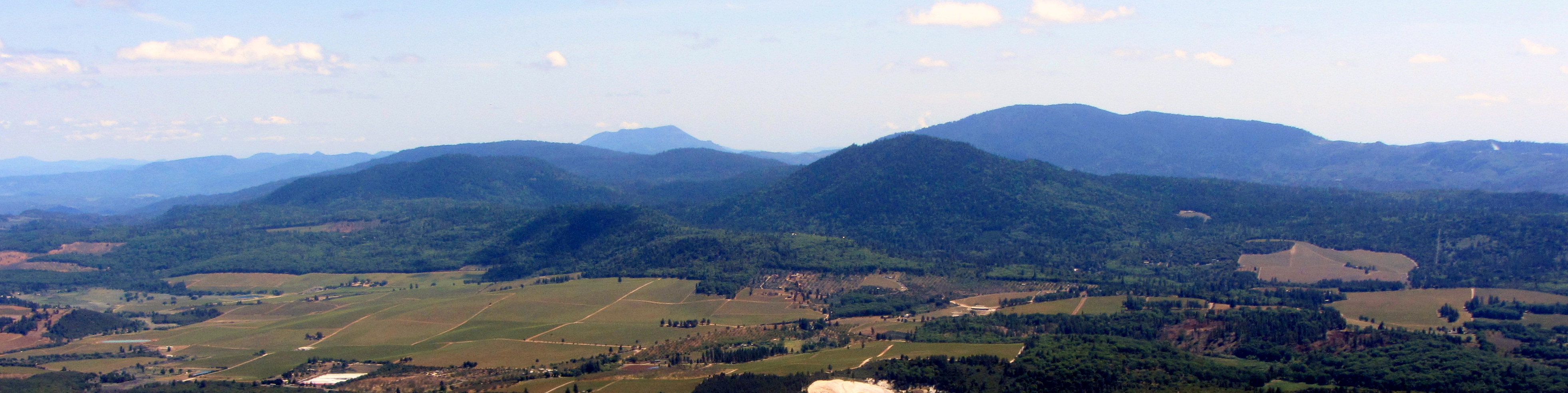
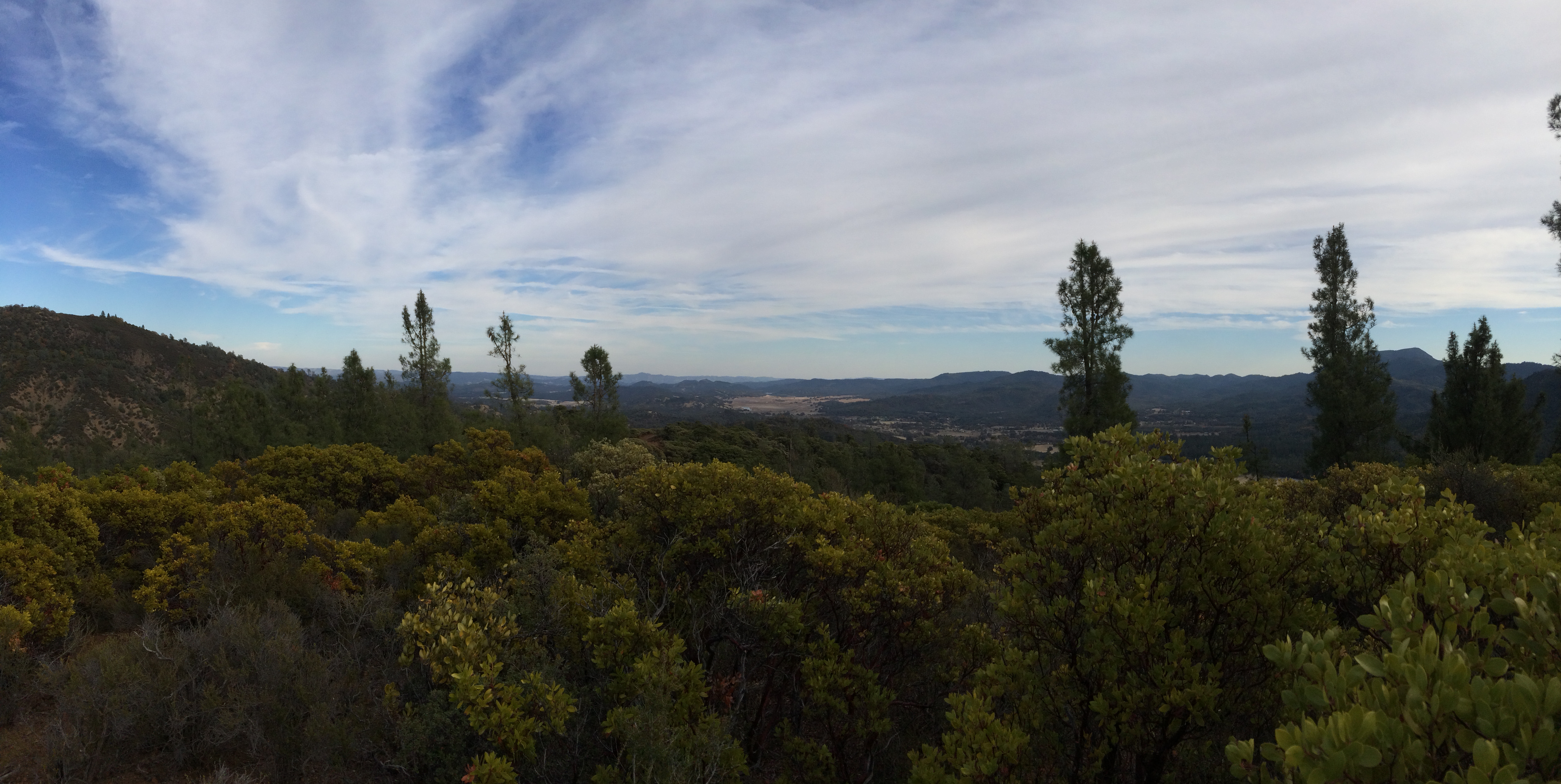
Valley Panorama
Views on way up..

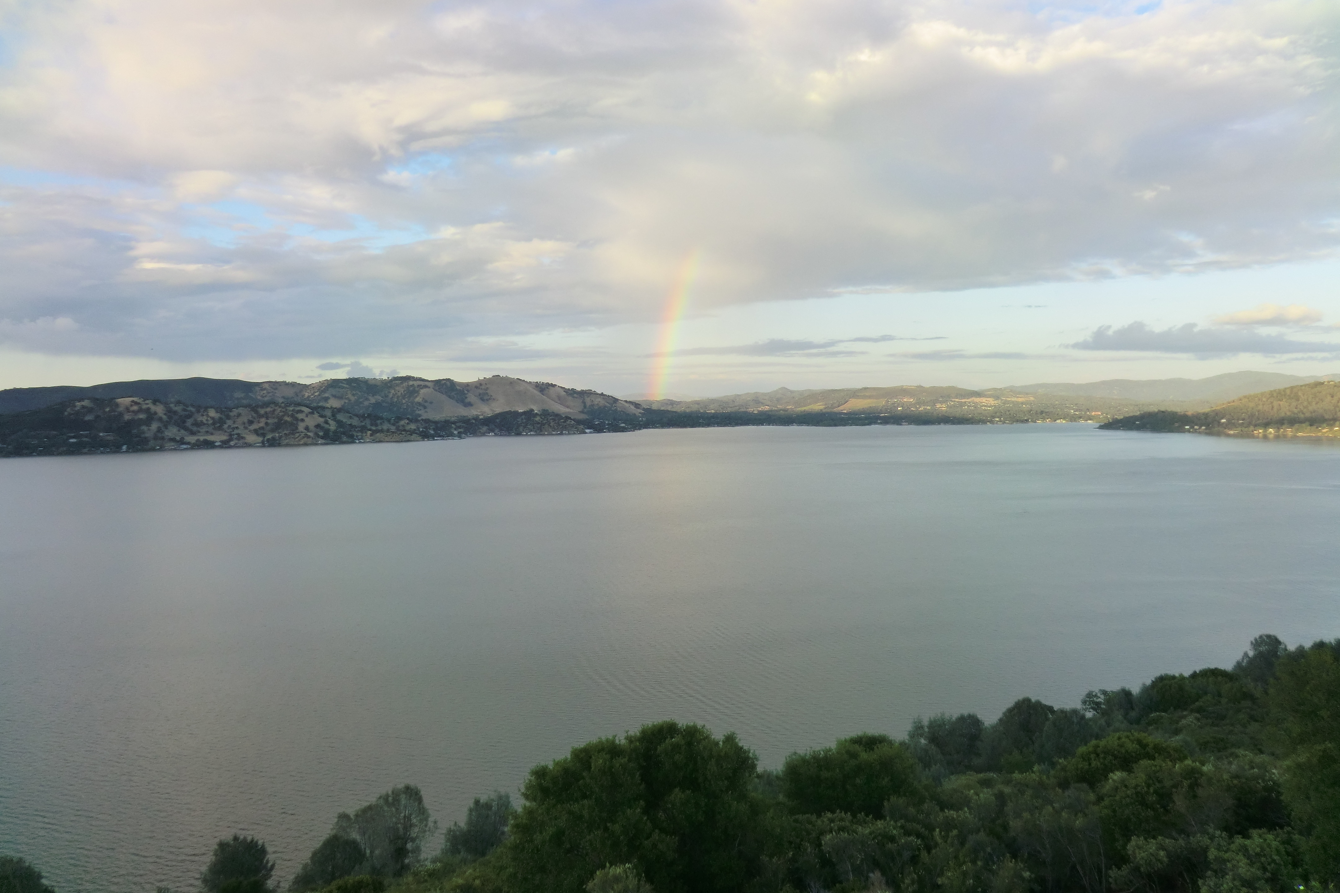
Clear Lake pano..
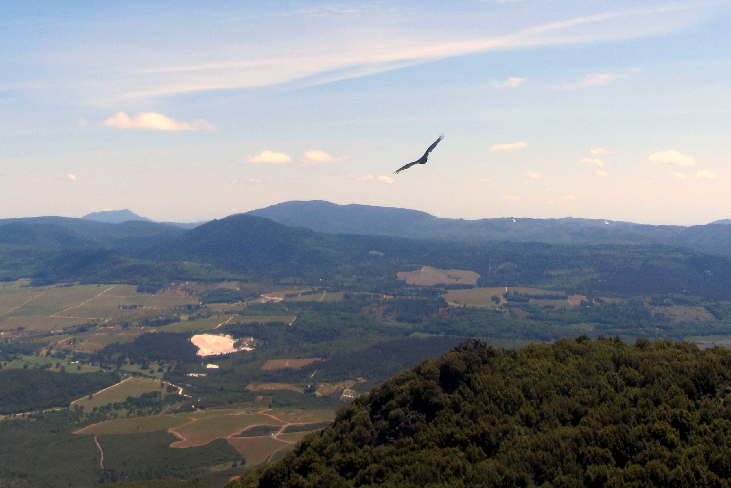
The vultures are circling..
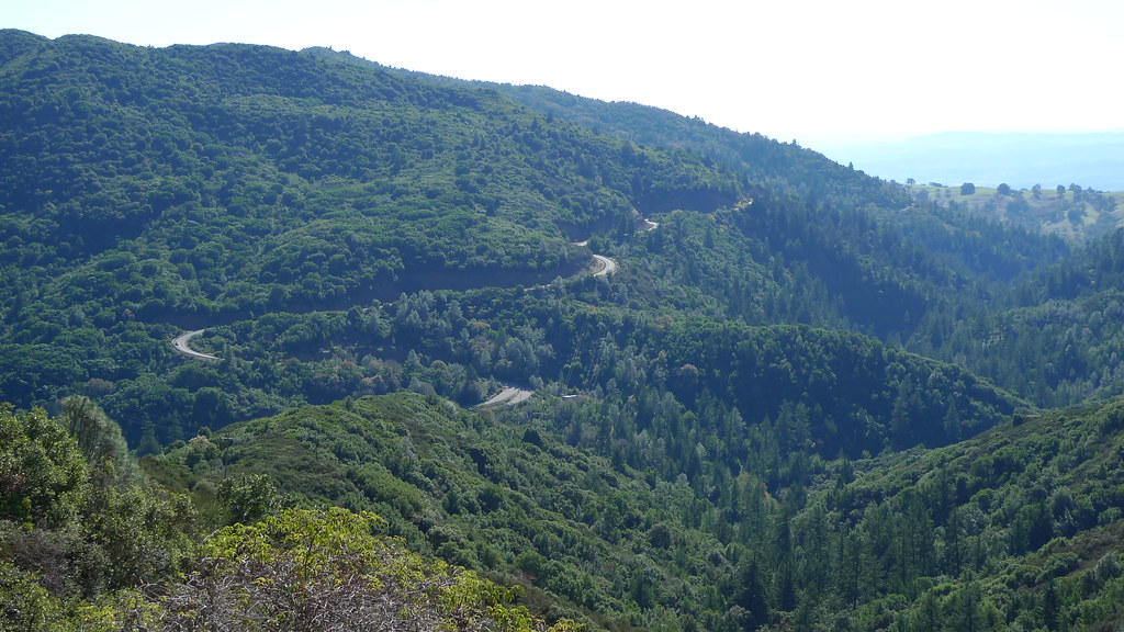
Geyser Road

Clearlake Sunset
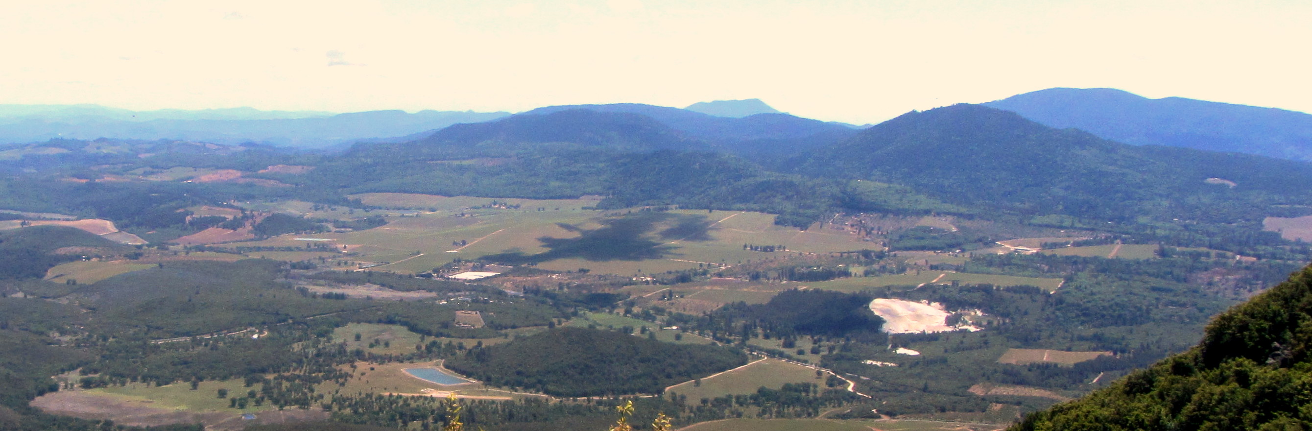
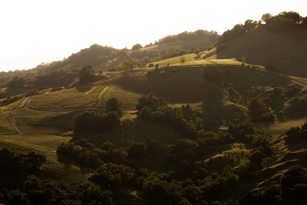
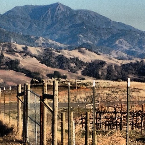
Pano over vineyard..
Pano over the vineyard..
Dark Shadows
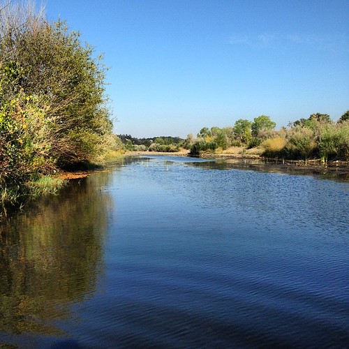
Sunset on Putah Creek. #swimming #putahcreek #coolingoff #freshwater #highway29 #hiddenvalleylake #lakecounty #northerncalifornia

Clearlake Setting Sun

Cima Dome sunset

_6190074.NEF
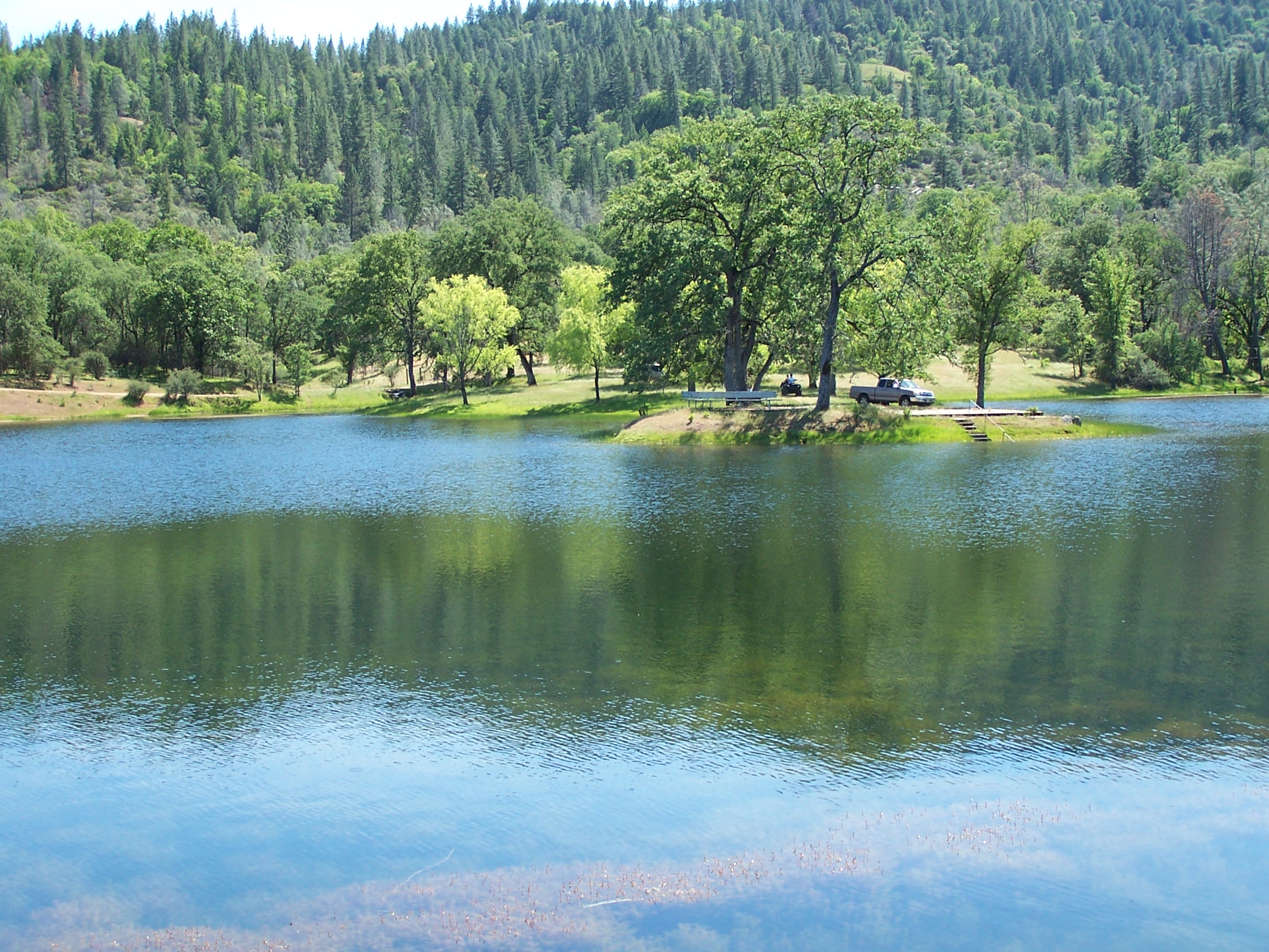
BSA Troop 63 Fishing Day 5-07 032
Harbin Hot Springs

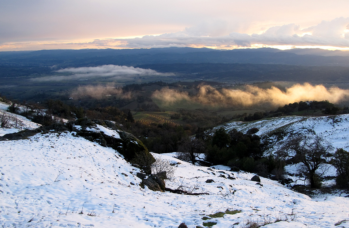
Snowy Sunset
Near the Snowline
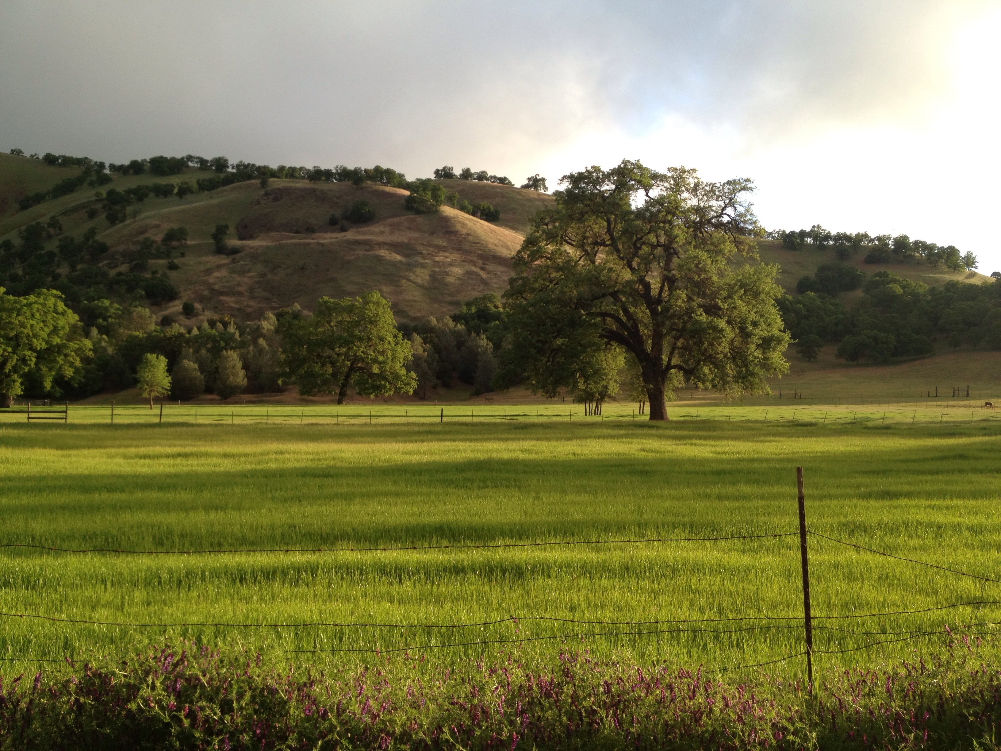
Lake County springtime

11-1 CIMG5504

Buckeye, Pine Flat Road, Sonoma CO, Early Spring, 1998

Painted Hills

Beautiful Scenery
Mt. St. Helena from Geyers Peak. #geyersroad #mountsainthelena #mountains #geyserspeak #healdsburg #alexandervalley
05-001

04-1 CIMG4071
Topographic Map of Grouse Road, Grouse Rd, California, USA
Find elevation by address:

Places near Grouse Road, Grouse Rd, California, USA:
CA-, Middletown, CA, USA
Cobb
9685 Meadow Dr
Schwartz Rd, Cobb, CA, USA
14847 Bottle Rock Rd
11091 Oak St
13700 Pine View Dr
Pine View Drive
Cobb Mountain
11385 Alder Ln
Castle Rock Springs
The Geysers
Socrates Mine Rd, Middletown, CA, USA
High Valley Rd, Cobb, CA, USA
Mercuryville
Geysers Rd, Geyserville, CA, USA
Aidlin Geothermal Power Plant
Geyserville Ave, Geyserville, CA, USA
Geyserville
27485 River Rd
Recent Searches:
- Elevation of Gateway Blvd SE, Canton, OH, USA
- Elevation of East W.T. Harris Boulevard, E W.T. Harris Blvd, Charlotte, NC, USA
- Elevation of West Sugar Creek, Charlotte, NC, USA
- Elevation of Wayland, NY, USA
- Elevation of Steadfast Ct, Daphne, AL, USA
- Elevation of Lagasgasan, X+CQH, Tiaong, Quezon, Philippines
- Elevation of Rojo Ct, Atascadero, CA, USA
- Elevation of Flagstaff Drive, Flagstaff Dr, North Carolina, USA
- Elevation of Avery Ln, Lakeland, FL, USA
- Elevation of Woolwine, VA, USA