Elevation of Grostøl, Norway
Location: Norway > Agder >
Longitude: 7.247784
Latitude: 58.4434
Elevation: 240m / 787feet
Barometric Pressure: 98KPa
Elevation Map:
Satellite Map:
Related Photos:

Snowy lake 1
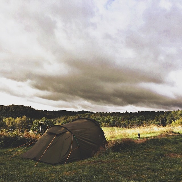
Last day in Norway. And another great view. Accompanied by some raindrops while breaking up camp. On our way to the ferry to Danmark. #twocampersinscandinavia
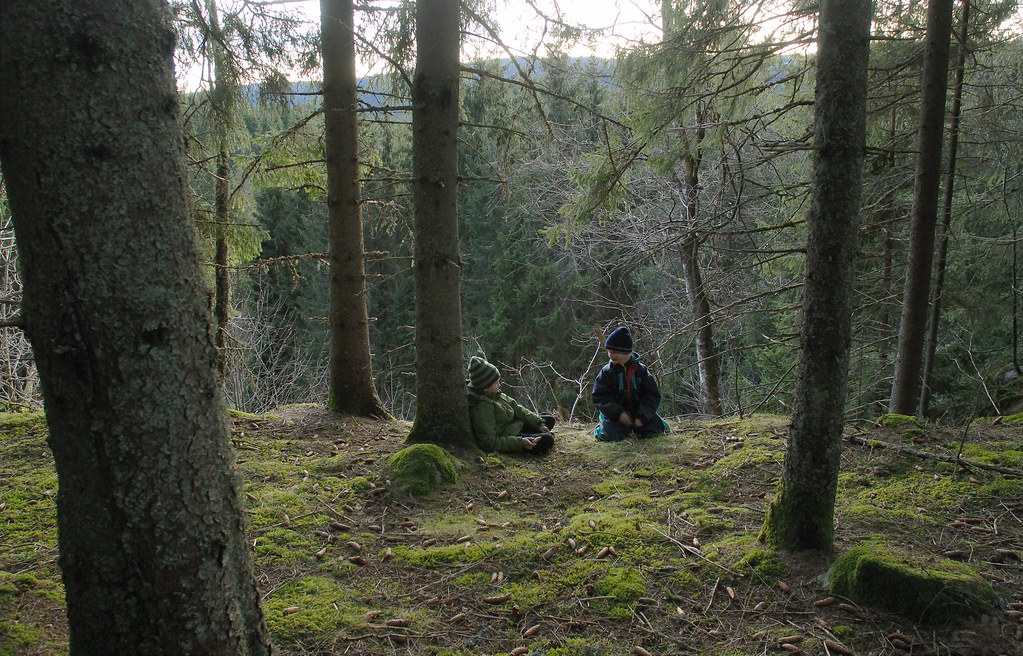
A rest in the woods
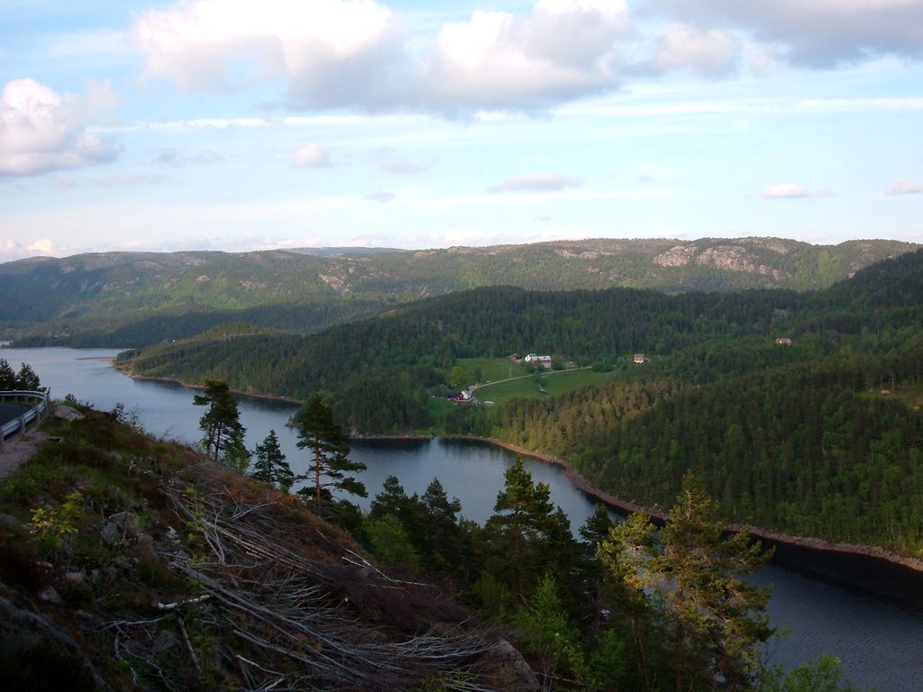
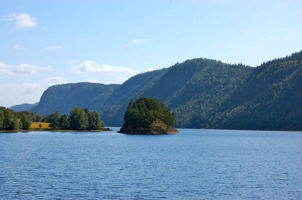
Lake View, Norway

Cold Quiet Morning...

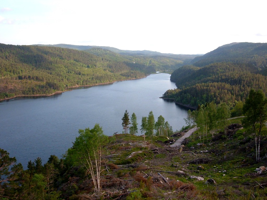
Norway river

winter blue

Ørevann, Skjerka, Åseral, Vest Agder, Norway
Ørevatn
Urlaub Norge 2009 - 0850
Ørevatn
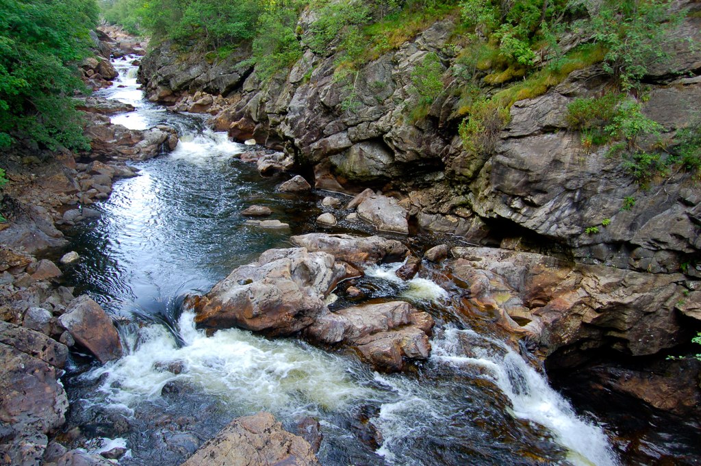
Urlaub Norge 2009 - 0808
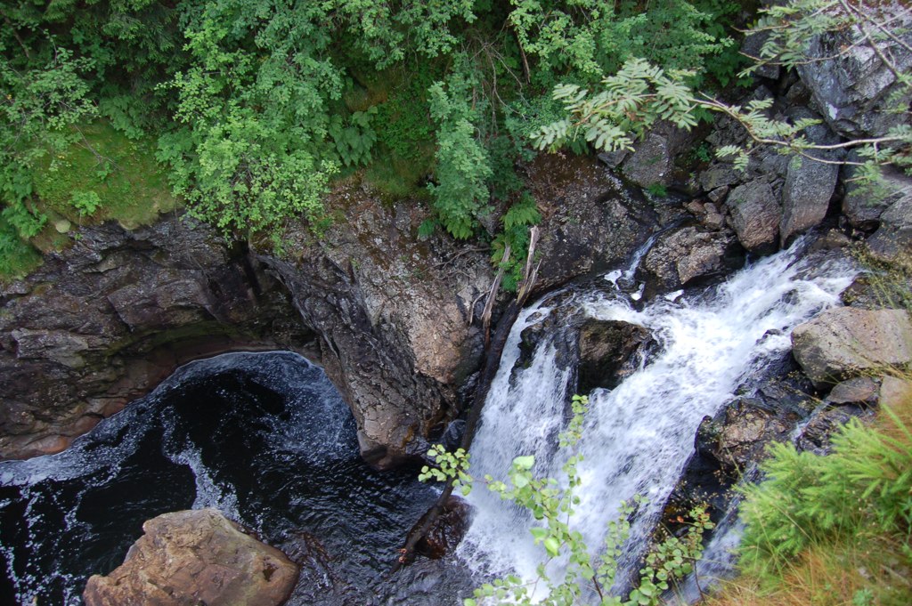
Urlaub Norge 2009 - 0801
Topographic Map of Grostøl, Norway
Find elevation by address:

Places near Grostøl, Norway:
Konsmo
Knaben
Rv43, Lyngdal, Norway
Lindesnes
Batteriveien Nord 9
Lyngdal
Songdalen
Lyngdal
Klev 9, Mandal, Norway
Spangereidveien, Spangereid, Norway
Mandal
Fv, Finsland, Norway
Mandal
Fv, Spangereid, Norway
Telandsveien, Søgne, Norway
Stupstad
Lindesnes Lighthouse
Tofteveien
Agder
Amsterstien 3, Mandal, Norway
Recent Searches:
- Elevation of Lampiasi St, Sarasota, FL, USA
- Elevation of Elwyn Dr, Roanoke Rapids, NC, USA
- Elevation of Congressional Dr, Stevensville, MD, USA
- Elevation of Bellview Rd, McLean, VA, USA
- Elevation of Stage Island Rd, Chatham, MA, USA
- Elevation of Shibuya Scramble Crossing, 21 Udagawacho, Shibuya City, Tokyo -, Japan
- Elevation of Jadagoniai, Kaunas District Municipality, Lithuania
- Elevation of Pagonija rock, Kranto 7-oji g. 8"N, Kaunas, Lithuania
- Elevation of Co Rd 87, Jamestown, CO, USA
- Elevation of Tenjo, Cundinamarca, Colombia