Elevation of Groenrivier, South Africa
Location: South Africa > Northern Cape > Namakwa >
Longitude: 17.9993239
Latitude: -30.664993
Elevation: -10000m / -32808feet
Barometric Pressure: 295KPa
Elevation Map:
Satellite Map:
Related Photos:
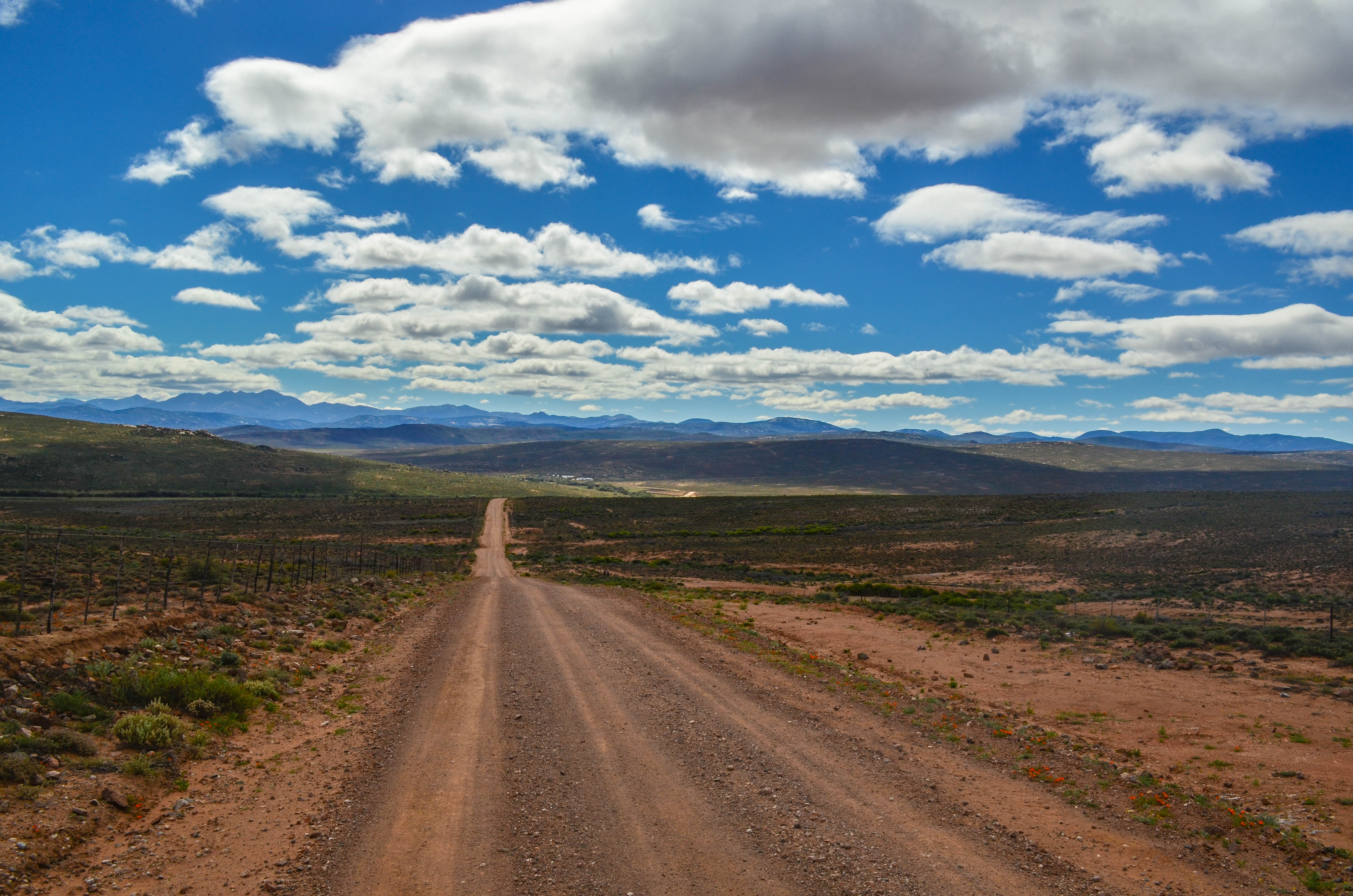
The road to Kotzesrus

The road to Kotzesrus

Garies, South Africa

26000 KM !

Thunder Tour 2015

Thunder Tour 2015

Thunder Tour 2015

Garies Hotel

20140820-DSC_6522

The road to Kotzesrus

The road to Kotzesrus

Garies, South Africa

20140819-IMG_0981
Topographic Map of Groenrivier, South Africa
Find elevation by address:

Places near Groenrivier, South Africa:
Recent Searches:
- Elevation of Fern Rd, Whitmore, CA, USA
- Elevation of 62 Abbey St, Marshfield, MA, USA
- Elevation of Fernwood, Bradenton, FL, USA
- Elevation of Felindre, Swansea SA5 7LU, UK
- Elevation of Leyte Industrial Development Estate, Isabel, Leyte, Philippines
- Elevation of W Granada St, Tampa, FL, USA
- Elevation of Pykes Down, Ivybridge PL21 0BY, UK
- Elevation of Jalan Senandin, Lutong, Miri, Sarawak, Malaysia
- Elevation of Bilohirs'k
- Elevation of 30 Oak Lawn Dr, Barkhamsted, CT, USA