Elevation of Großer Priel, Hinterstoder, Austria
Location: Austria > Upper Austria > Kirchdorf An Der Krems District > Gemeinde Hinterstoder > Hinterstoder >
Longitude: 14.0642265
Latitude: 47.7170829
Elevation: 2176m / 7139feet
Barometric Pressure: 78KPa
Elevation Map:
Satellite Map:
Related Photos:
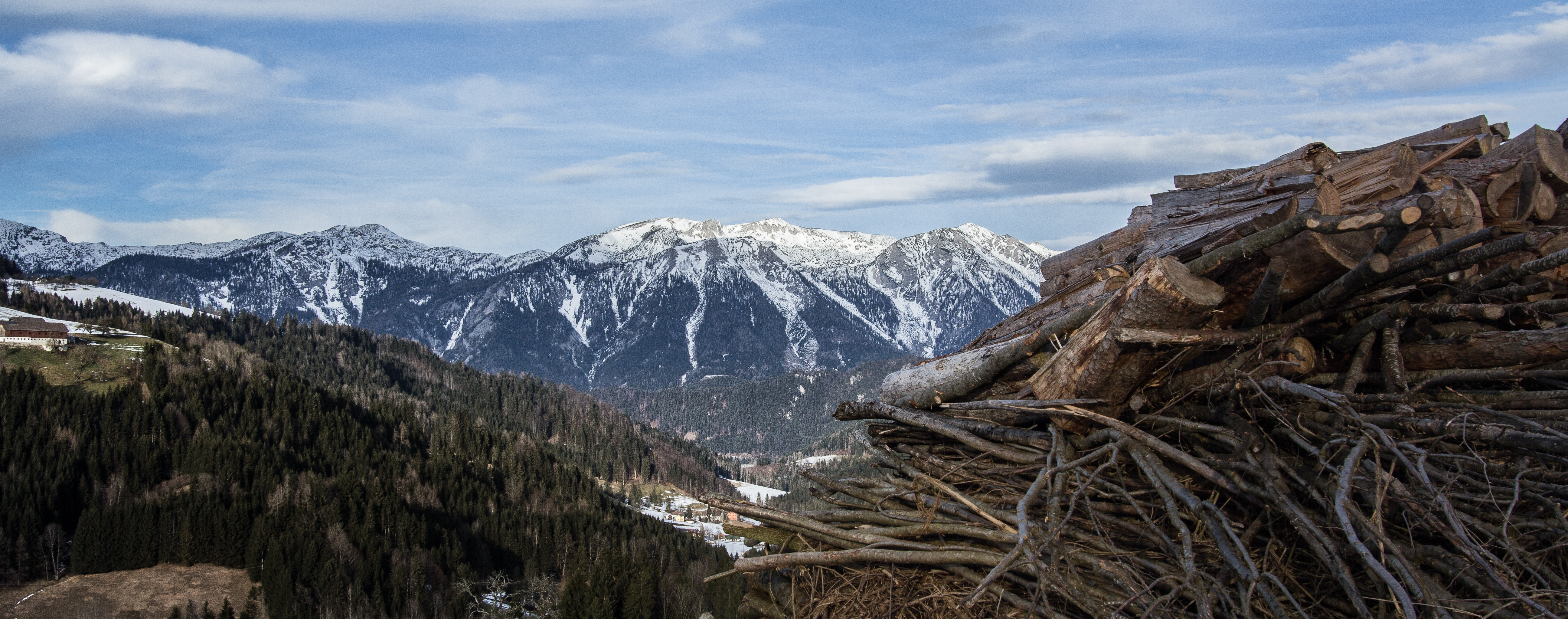
365-016 Hills and Mountains [Explore]
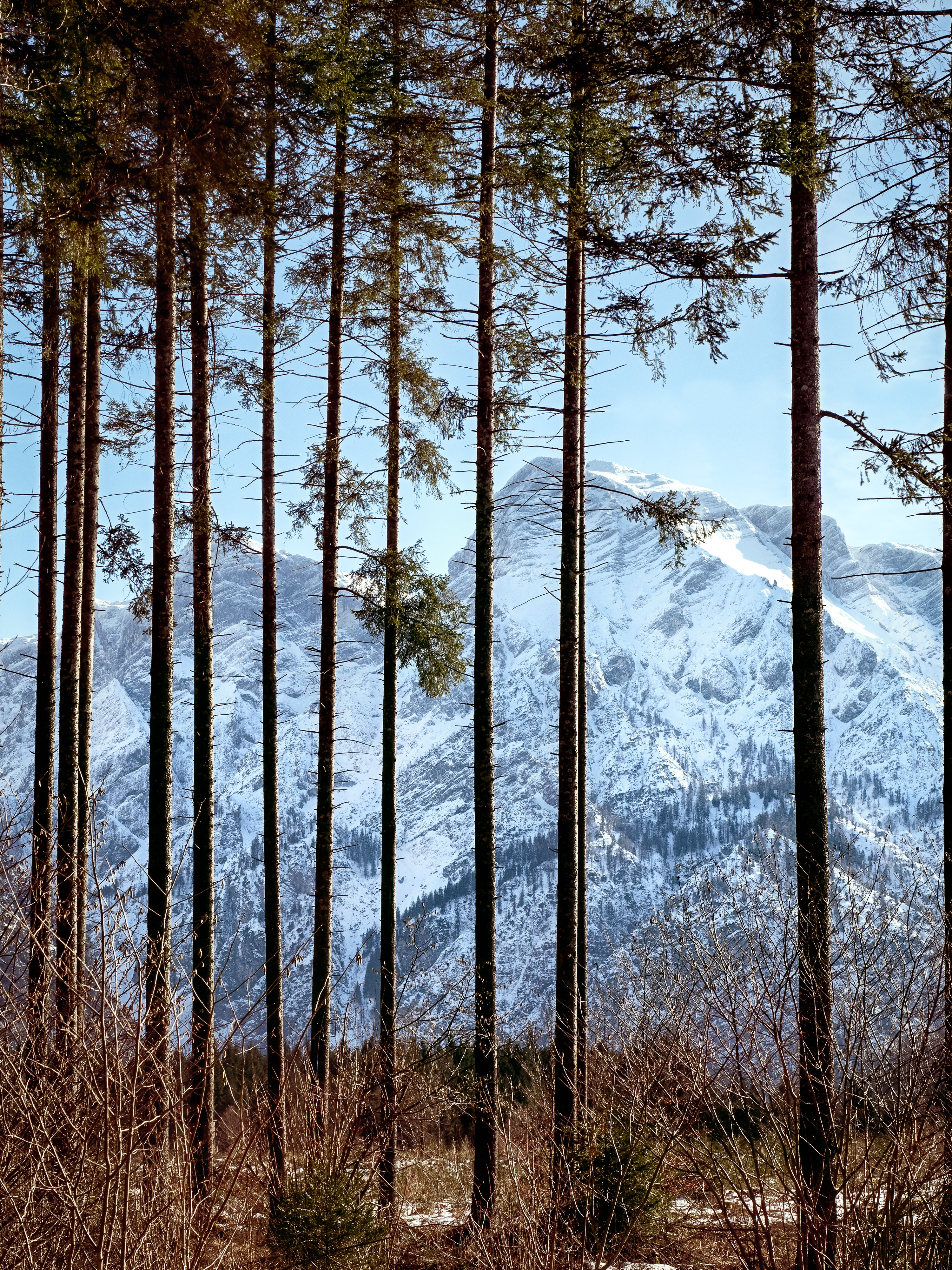
Locked out.

Stork / Storch HDR
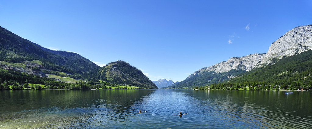
Lake Grundlsee Ausseerland Salzkammergut Styria Austria Copyright © 2010 Bernhard Egger :: eu-moto images 4530 pan
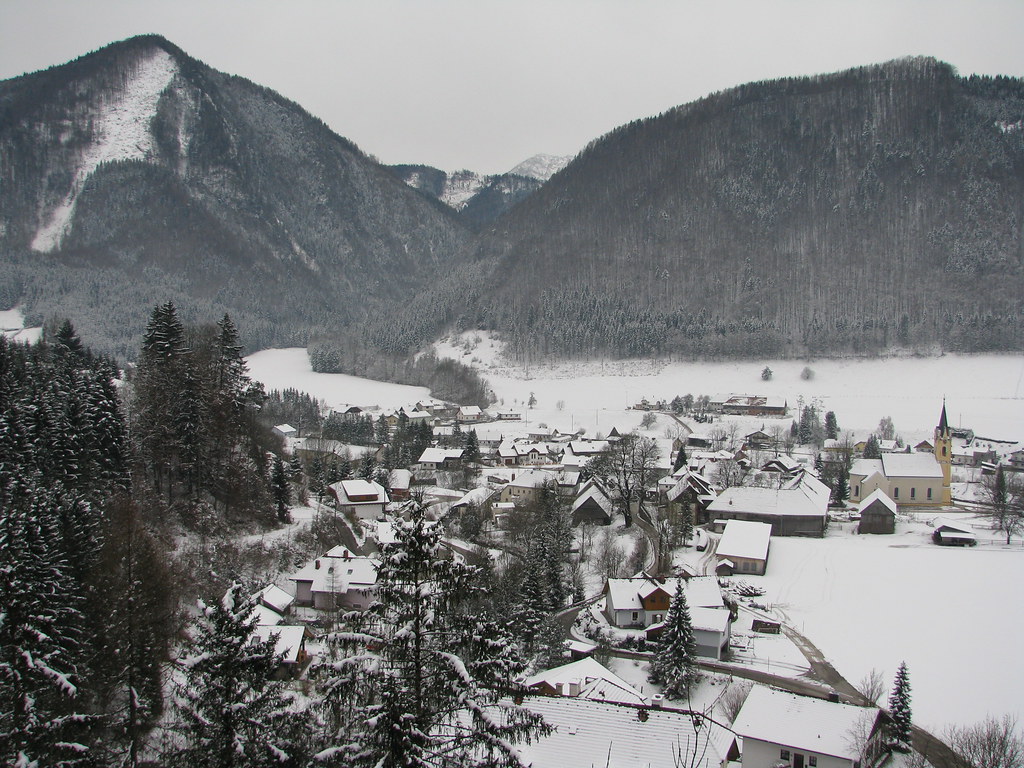
Steyrling - Upper Austria
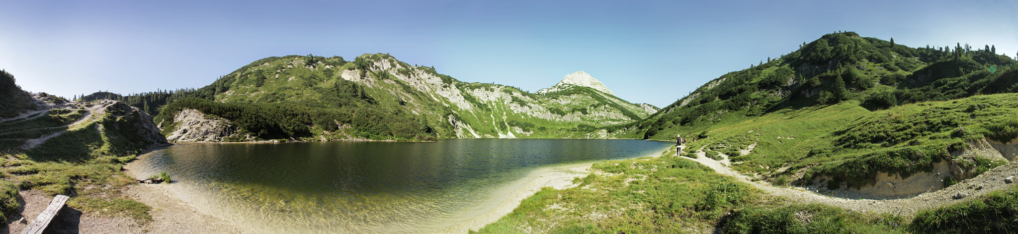
Wildensee & Rinnerkogel
Topographic Map of Großer Priel, Hinterstoder, Austria
Find elevation by address:

Places near Großer Priel, Hinterstoder, Austria:
Totes Gebirge
Gemeinde Hinterstoder
Hinterstoder
Hinterstoder Höss Hinterstoder - Wurzeralm Bergbahnen Ag
Hutterer Böden 82, Hutterer Böden, Austria
197/1
Gaisriegl 23, Gaisriegl, Austria
Weißenbach Bei Liezen
Hohenberg
Hohenberg 6, Hohenberg, Austria
Rading, Rading, Austria
Gemeinde Aigen Im Ennstal
Roßleithen 33, Roßleithen, Austria
Roßleithen
Zur Linde 1
Döllach
Döllach 34, Döllach, Austria
Wurzeralm 37, Spital am Pyhrn, Austria
Wurzeralm 38, Spital am Pyhrn, Austria
Gatschen
Recent Searches:
- Elevation of Corso Fratelli Cairoli, 35, Macerata MC, Italy
- Elevation of Tallevast Rd, Sarasota, FL, USA
- Elevation of 4th St E, Sonoma, CA, USA
- Elevation of Black Hollow Rd, Pennsdale, PA, USA
- Elevation of Oakland Ave, Williamsport, PA, USA
- Elevation of Pedrógão Grande, Portugal
- Elevation of Klee Dr, Martinsburg, WV, USA
- Elevation of Via Roma, Pieranica CR, Italy
- Elevation of Tavkvetili Mountain, Georgia
- Elevation of Hartfords Bluff Cir, Mt Pleasant, SC, USA