Elevation of Griffins, NC, USA
Location: United States > North Carolina > Martin County >
Longitude: -76.987347
Latitude: 35.7055272
Elevation: 14m / 46feet
Barometric Pressure: 101KPa
Elevation Map:
Satellite Map:
Related Photos:
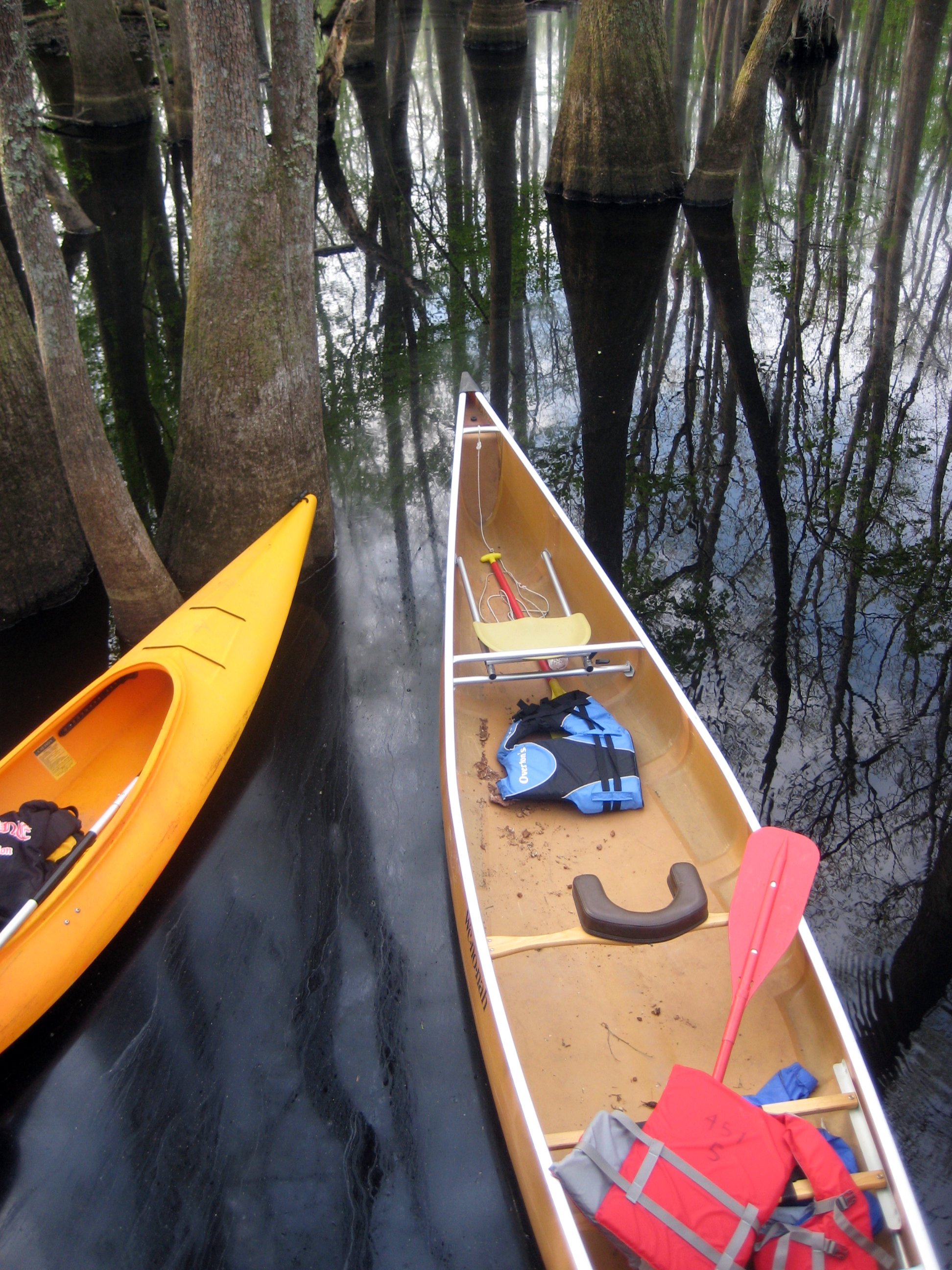
View from the platform into the boats
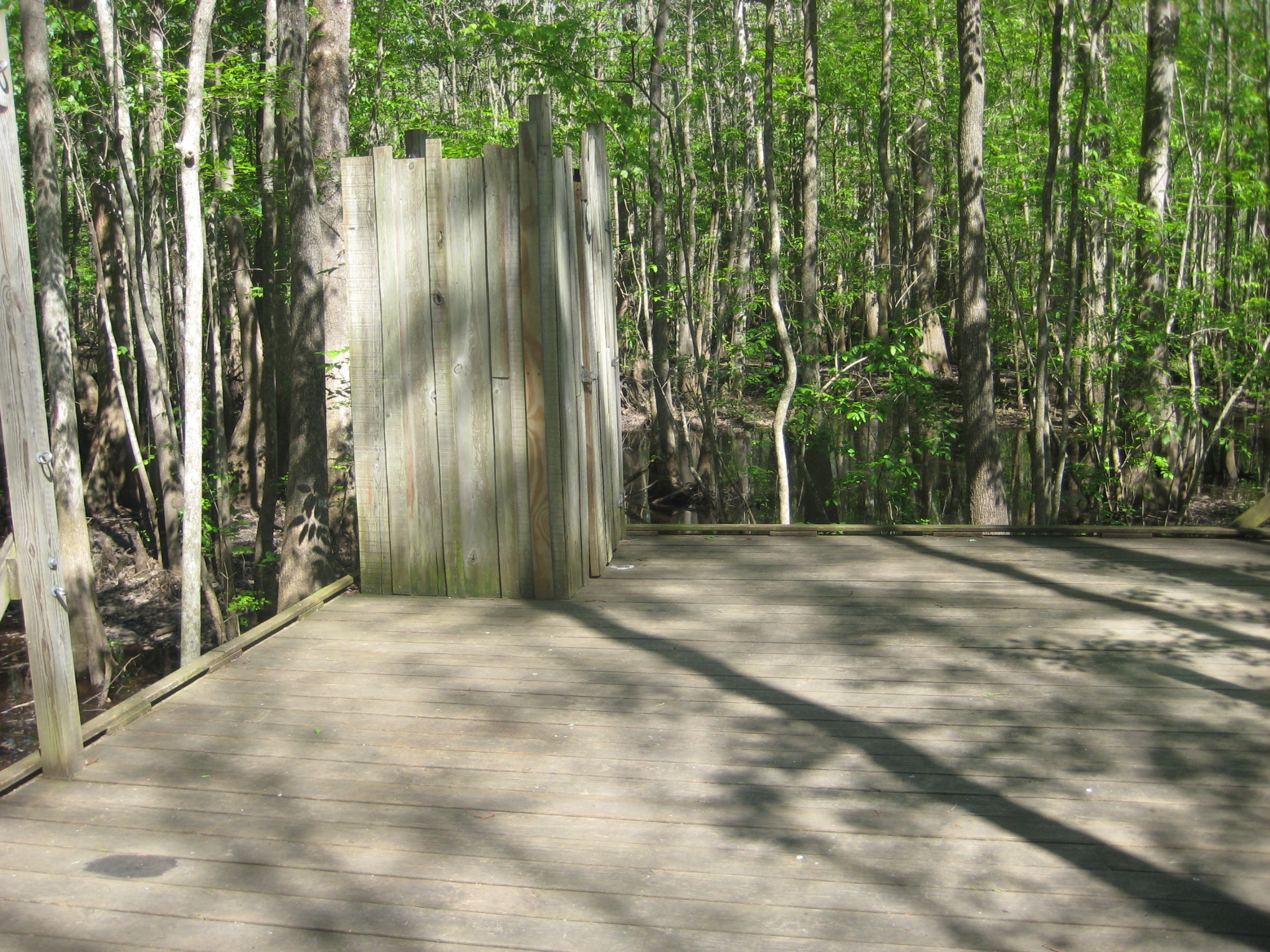
The necessary room is literally four walls, a floor, and a latch. That's it. Oh, but the view.
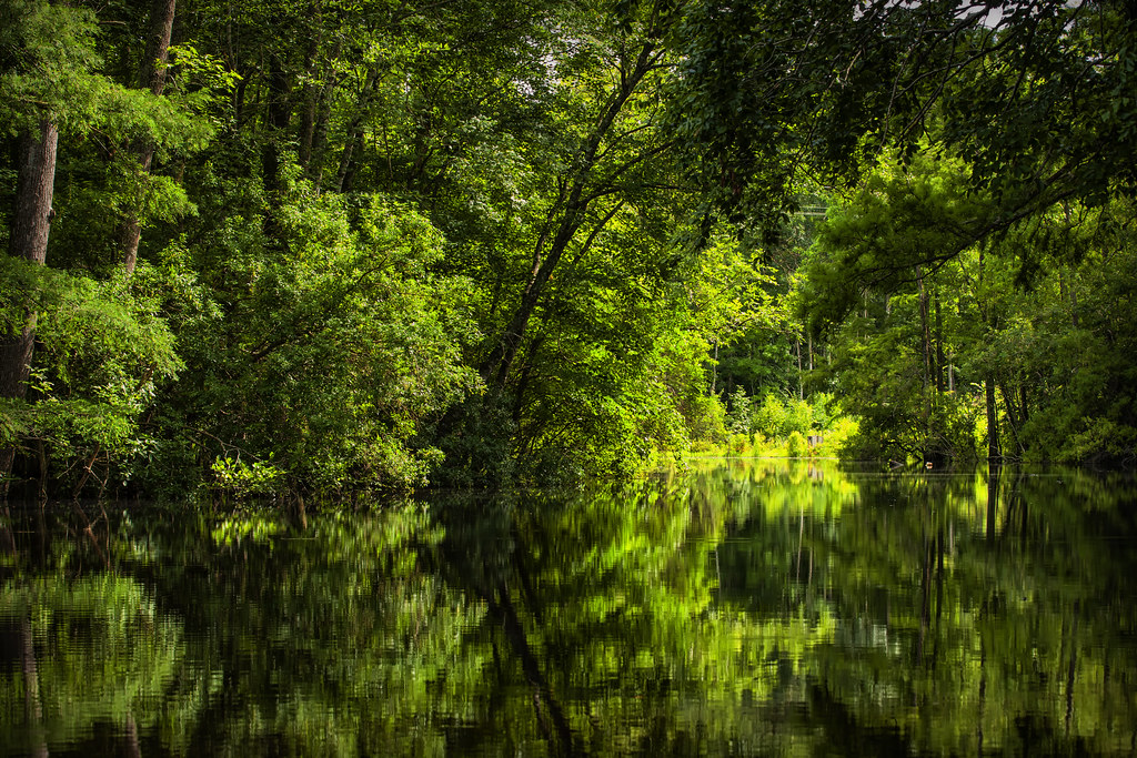
Gardner Creek '13

Jamesville, N.C. '13
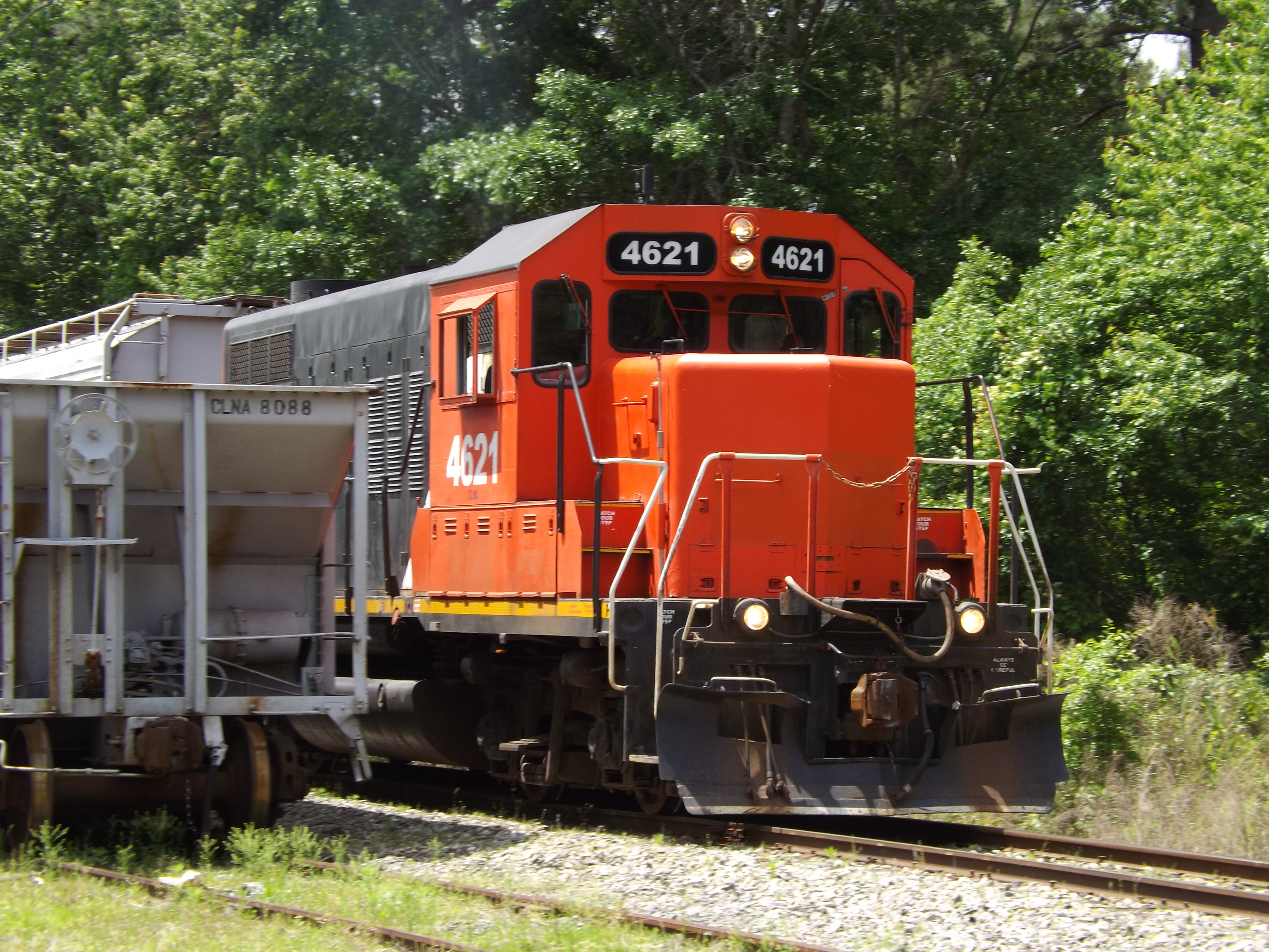
Carolina Coastal 4621
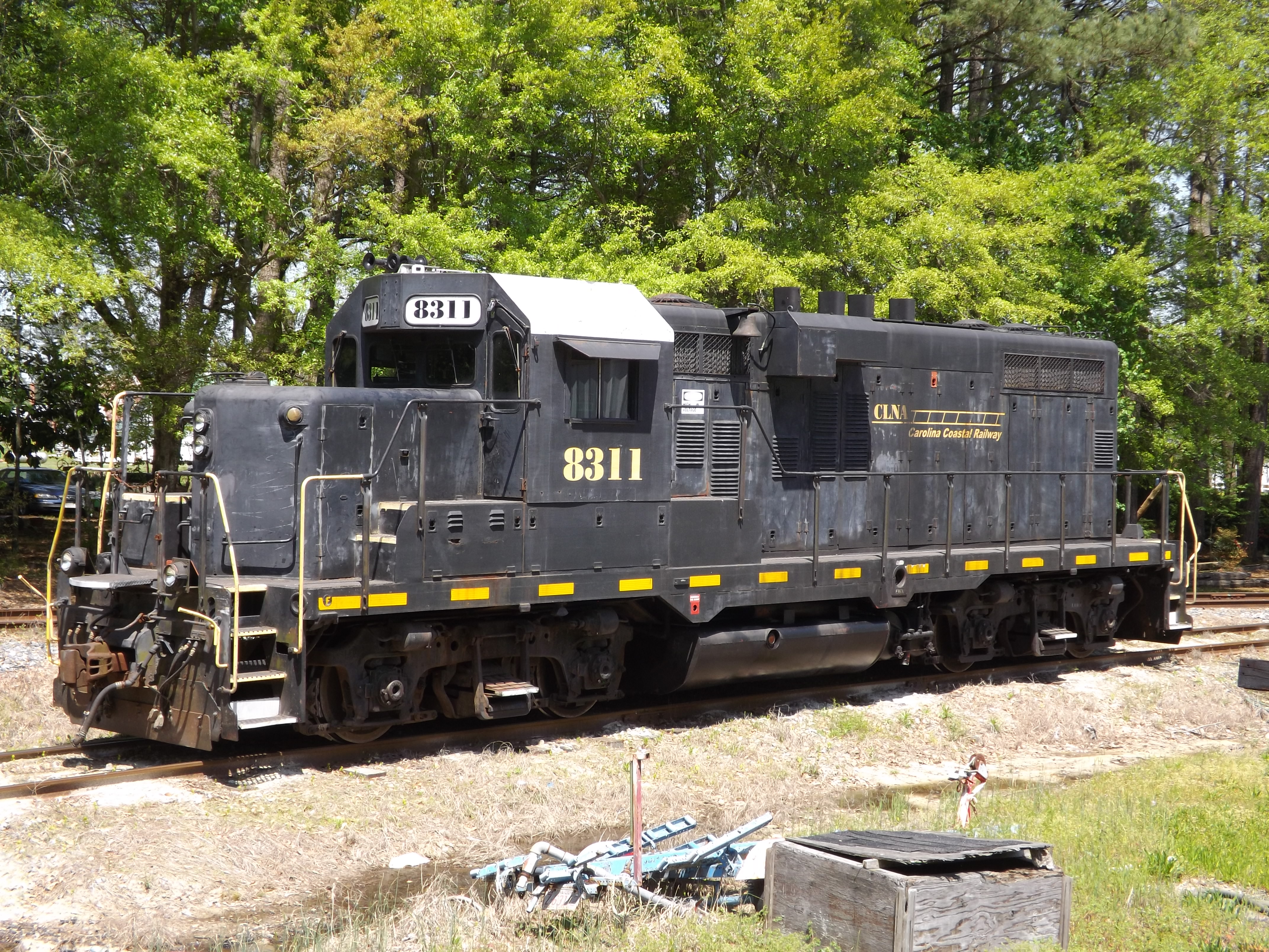
Carolina Coastal 8311
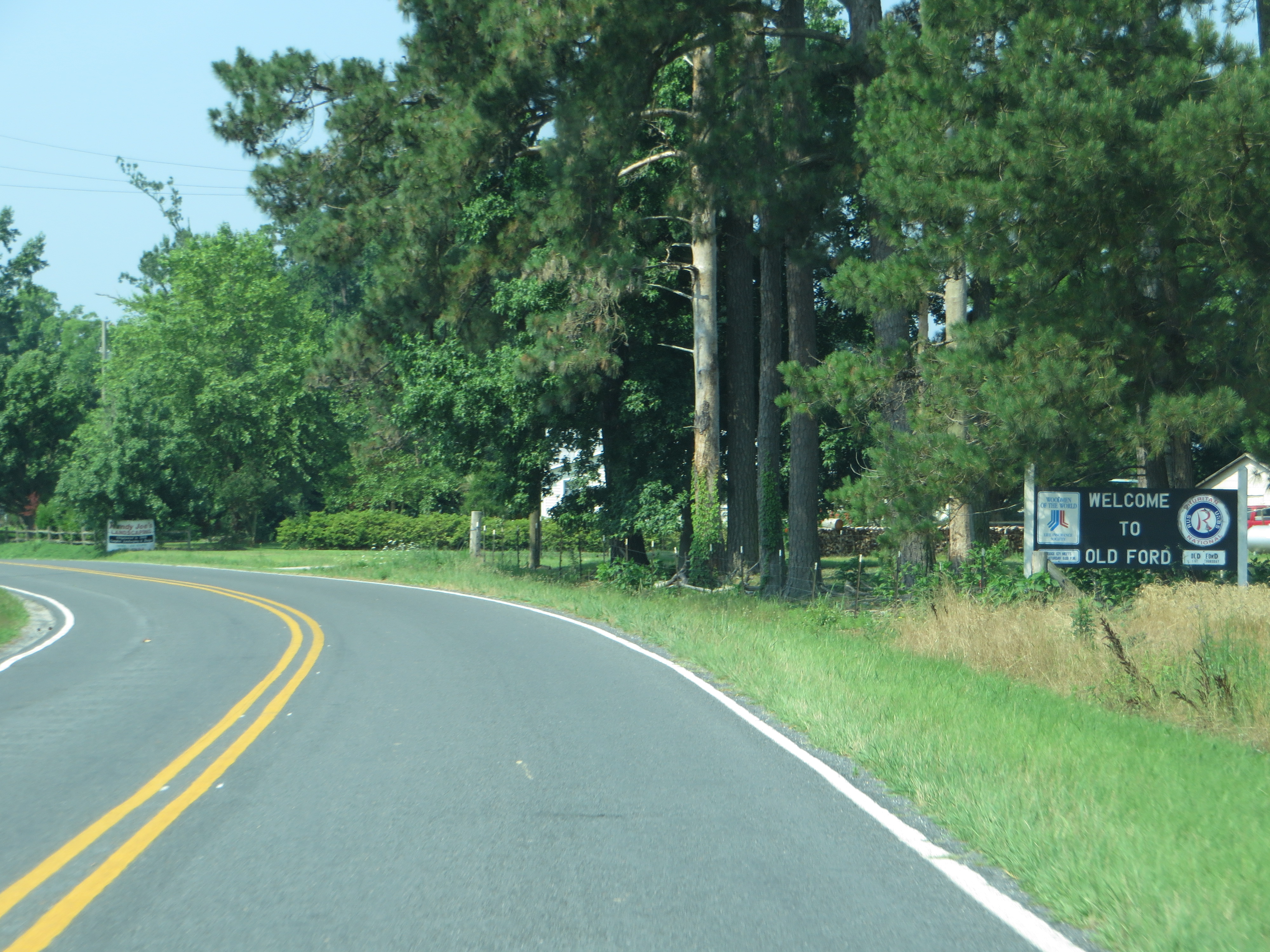
Welcome to Old Ford, North Carolina, Highway 171

Cypress Grill, Jamesville, NC

Cypress Grill, Jamesville, NC

Cypress Grill, Jamesville, NC

Besökare Samtidigt

CLNA 8311

Besökare Samtidigt

Wild rose
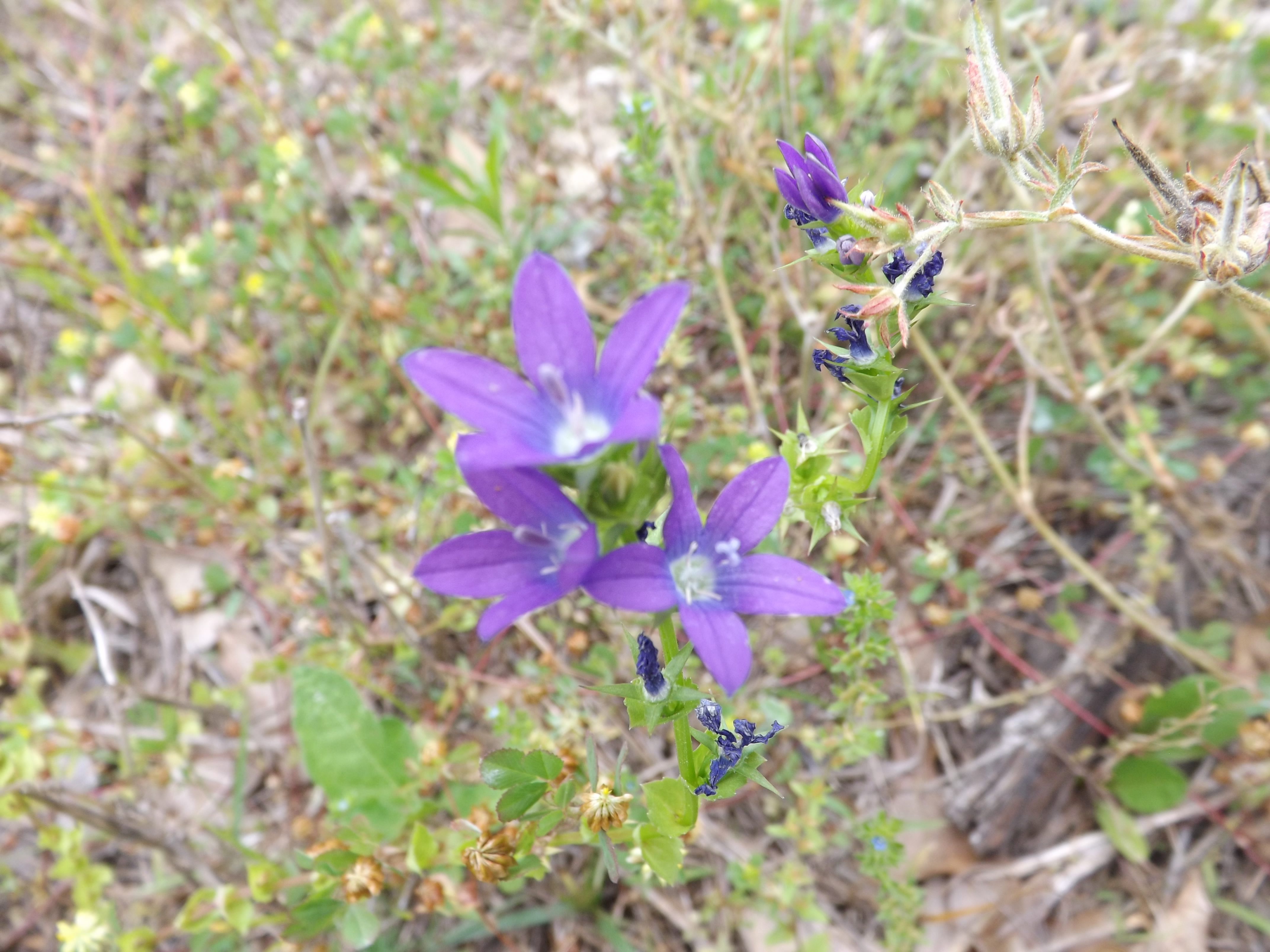
Triodanis perfoliata
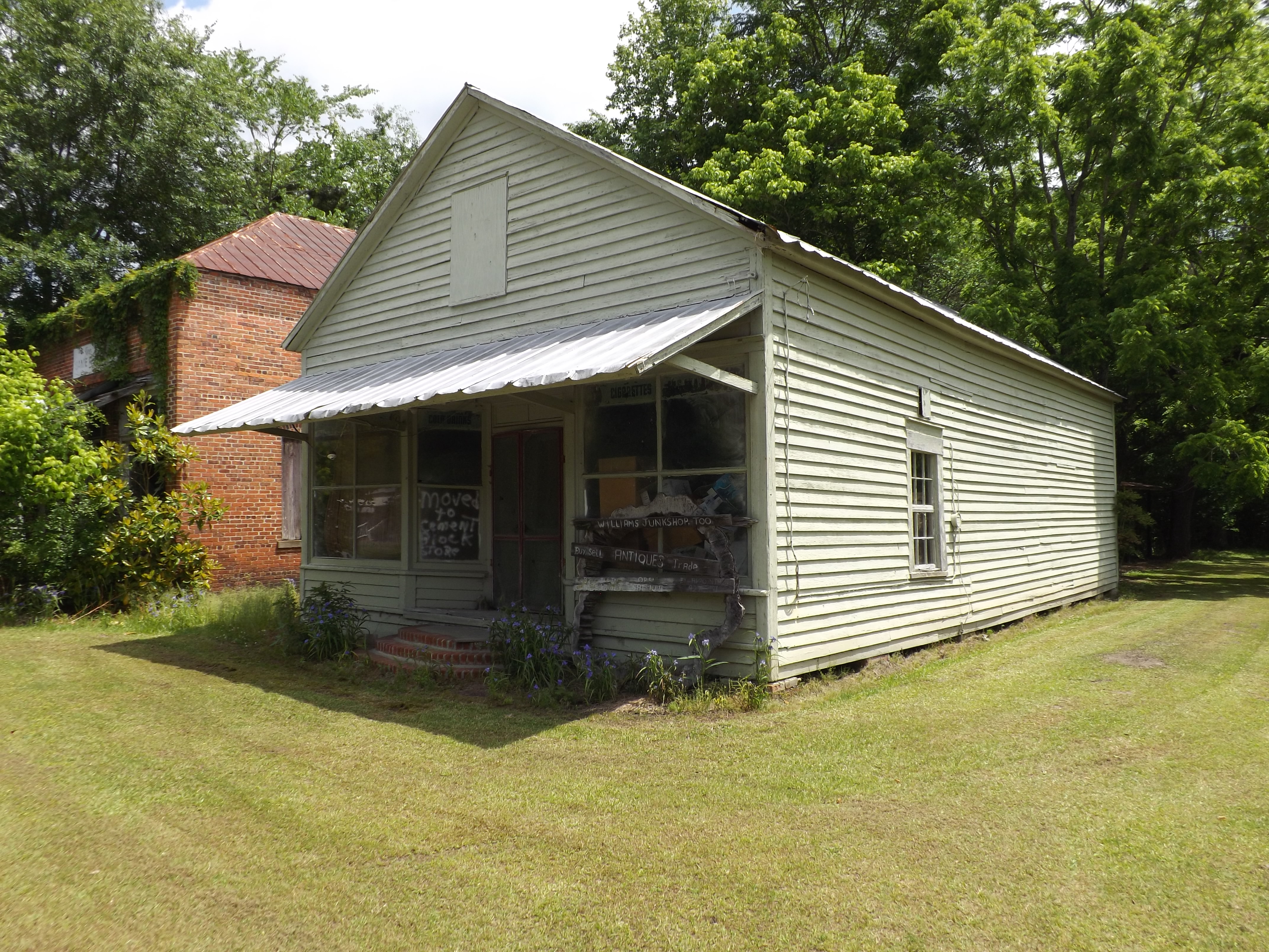
Moved to...

Junk Too
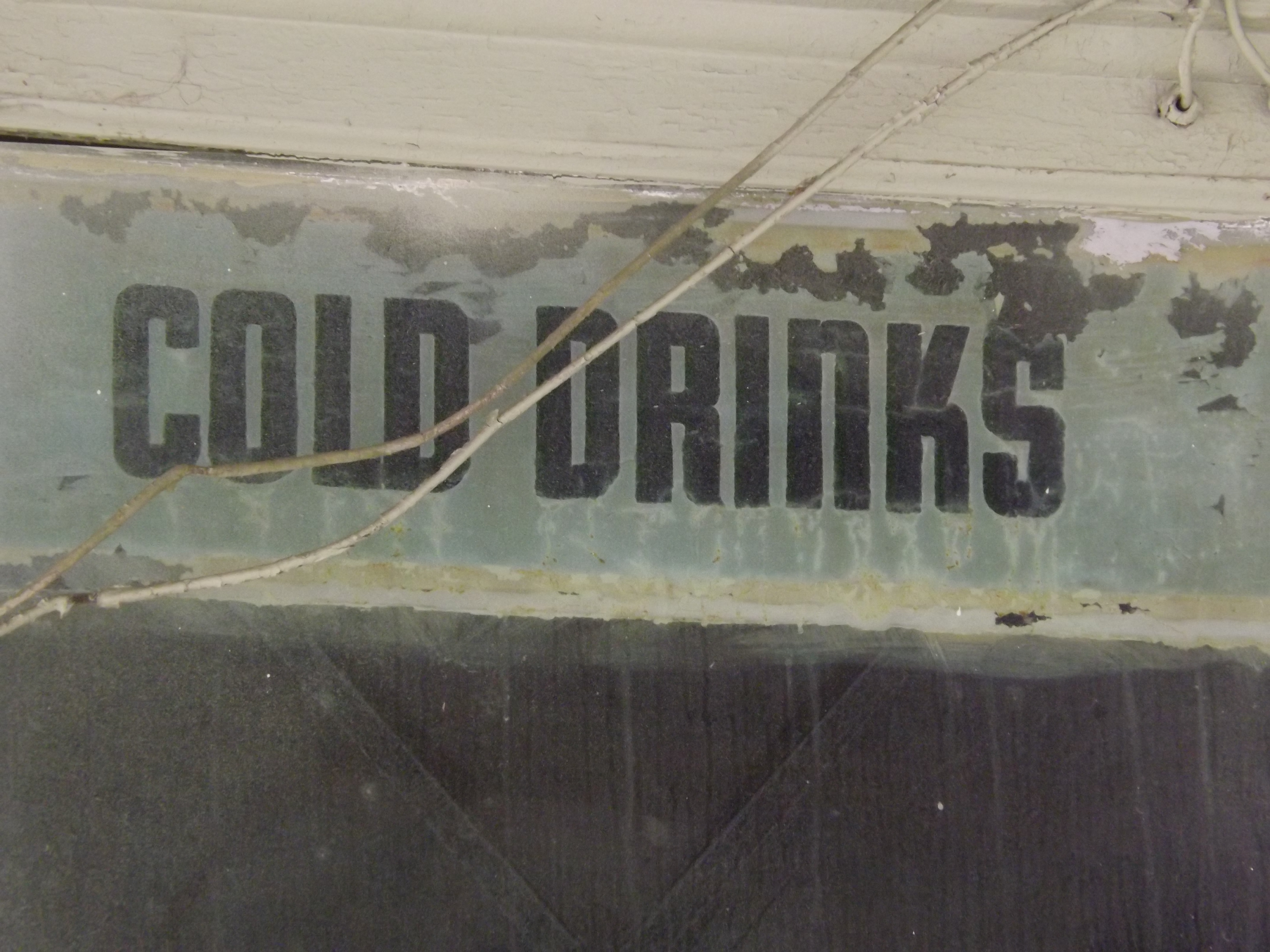
No cold drinks
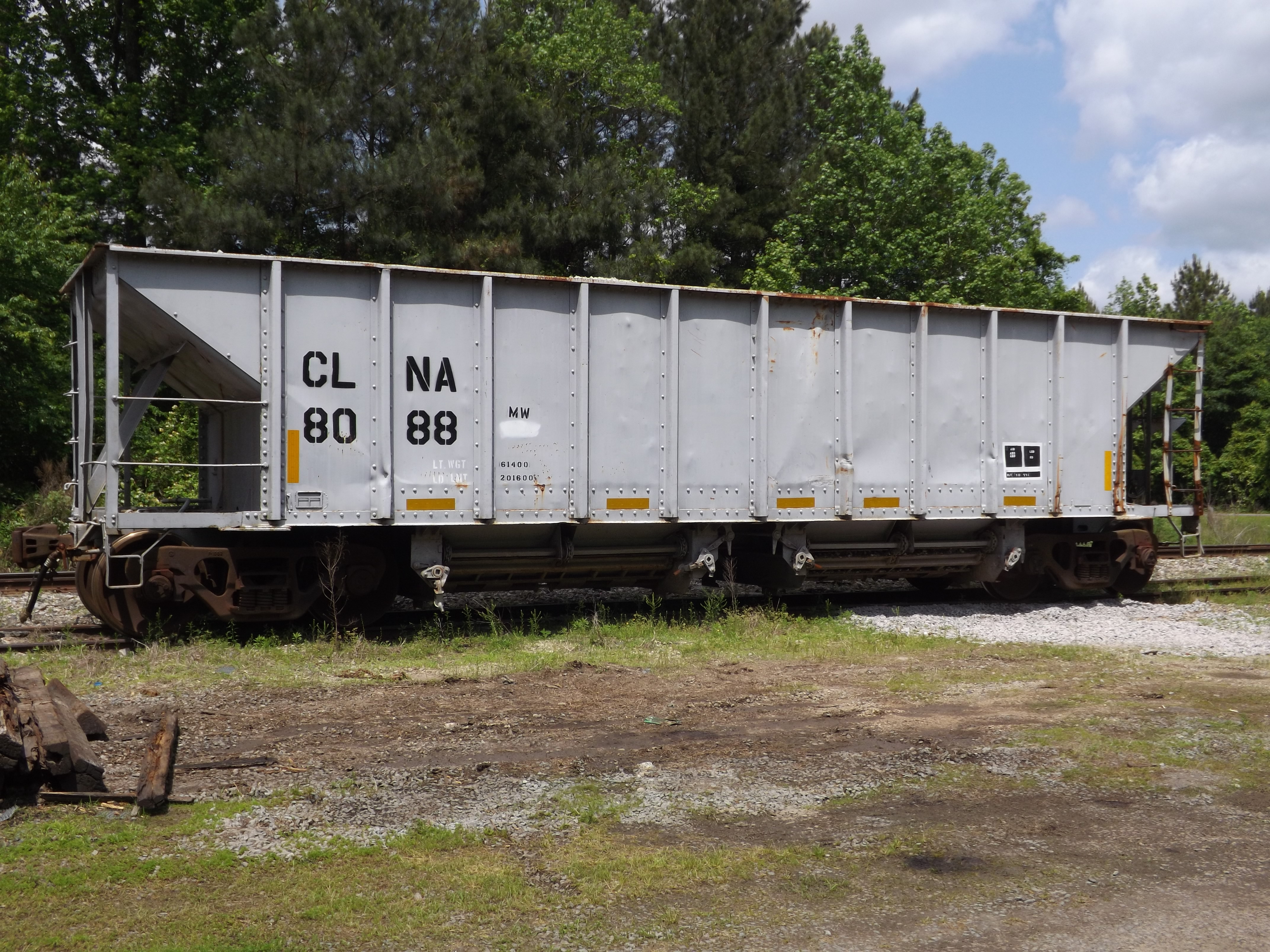
CLNA 8088

Jack's game room 1of2
Jack's game room 2of2
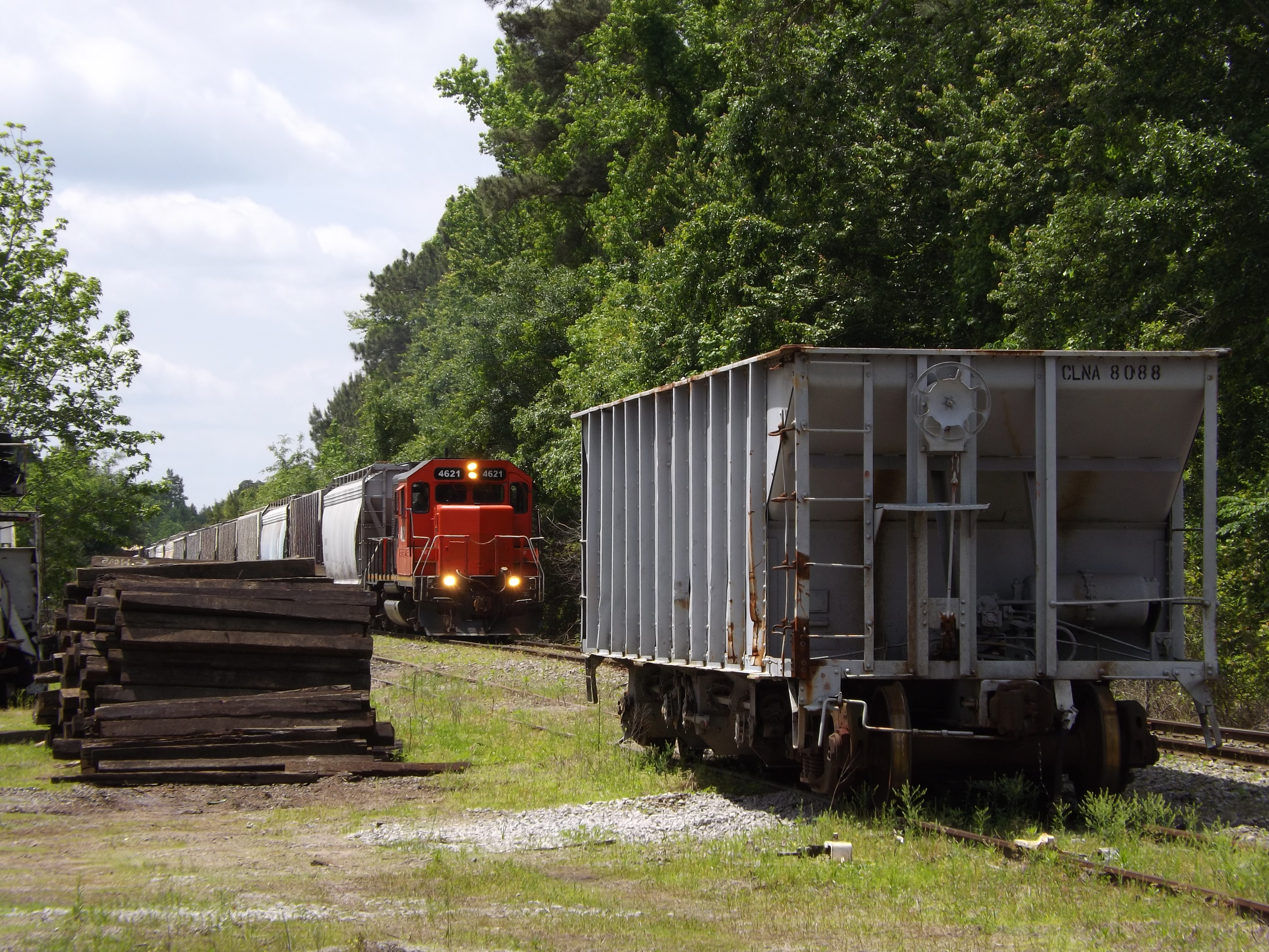
CLNA Train 119-14
CLNA 265-14 at Pinetown, NC
Topographic Map of Griffins, NC, USA
Find elevation by address:

Places in Griffins, NC, USA:
Places near Griffins, NC, USA:
2230 Nathan Roberson Rd
NC-, Jamesville, NC, USA
7434 Thoroughfare Rd
Piney Grove Church Rd, Jamesville, NC, USA
4355 Fire Dept Rd
1541 Arthur Modlin Rd
Joe Mobley Rd, Williamston, NC, USA
Long Acre
6361 Us-17
1177 Reddicks Grove Church Rd
1051 White Rd
Washington
1123 Mimosa Ln
Williams
19565 Us-64
1180 White Oak Dr
1080 White Oak Dr
Beargrass
1180 Holly Springs Loop Rd
Asheberne Drive
Recent Searches:
- Elevation of Elwyn Dr, Roanoke Rapids, NC, USA
- Elevation of Congressional Dr, Stevensville, MD, USA
- Elevation of Bellview Rd, McLean, VA, USA
- Elevation of Stage Island Rd, Chatham, MA, USA
- Elevation of Shibuya Scramble Crossing, 21 Udagawacho, Shibuya City, Tokyo -, Japan
- Elevation of Jadagoniai, Kaunas District Municipality, Lithuania
- Elevation of Pagonija rock, Kranto 7-oji g. 8"N, Kaunas, Lithuania
- Elevation of Co Rd 87, Jamestown, CO, USA
- Elevation of Tenjo, Cundinamarca, Colombia
- Elevation of Côte-des-Neiges, Montreal, QC H4A 3J6, Canada