Elevation of Griffin No. 66, SK, Canada
Location: Canada > Saskatchewan > Division No. 2 >
Longitude: -103.39416
Latitude: 49.6945718
Elevation: 608m / 1995feet
Barometric Pressure: 94KPa
Elevation Map:
Satellite Map:
Related Photos:

Photographing a Saskatchewan Slough
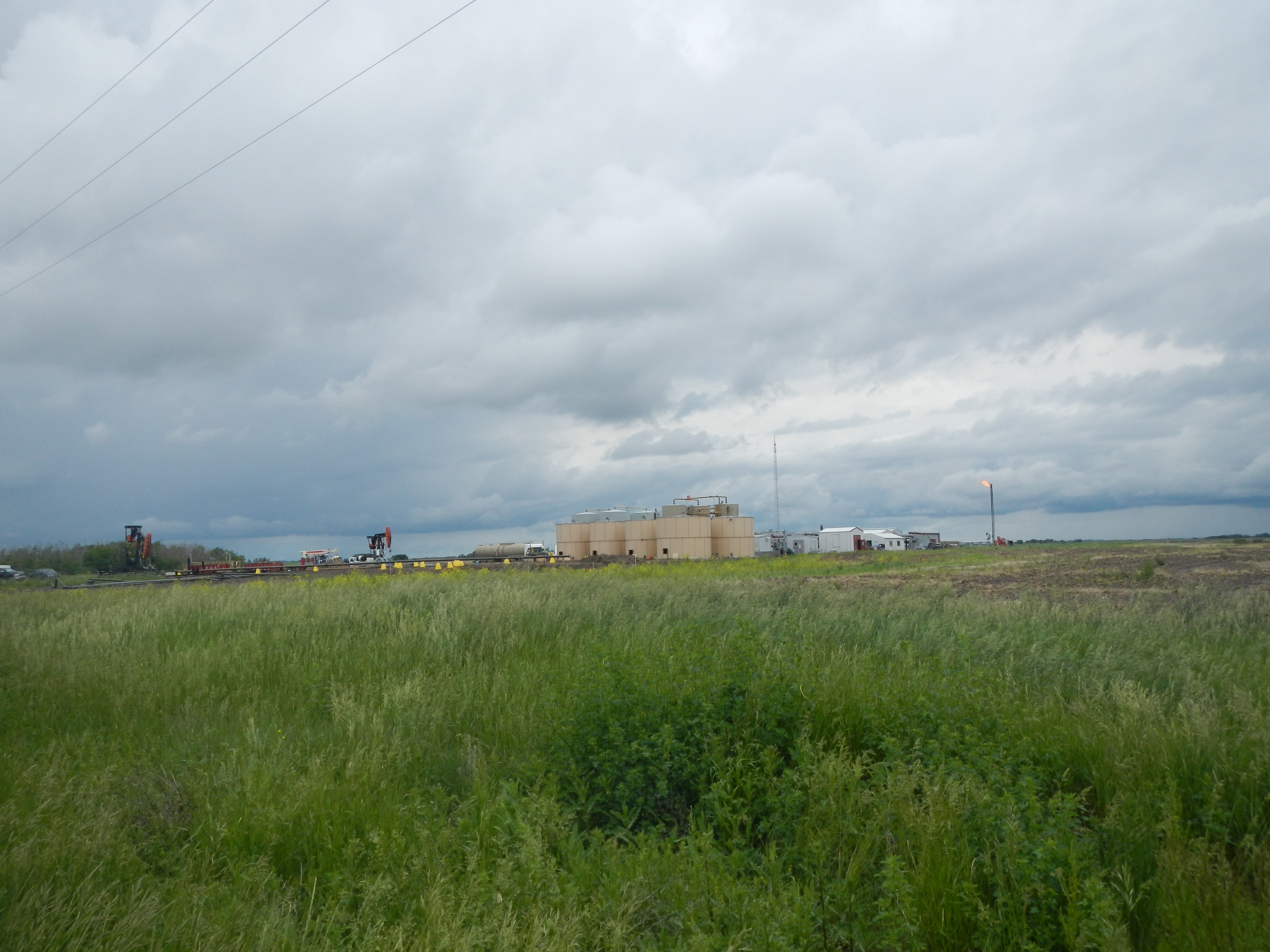
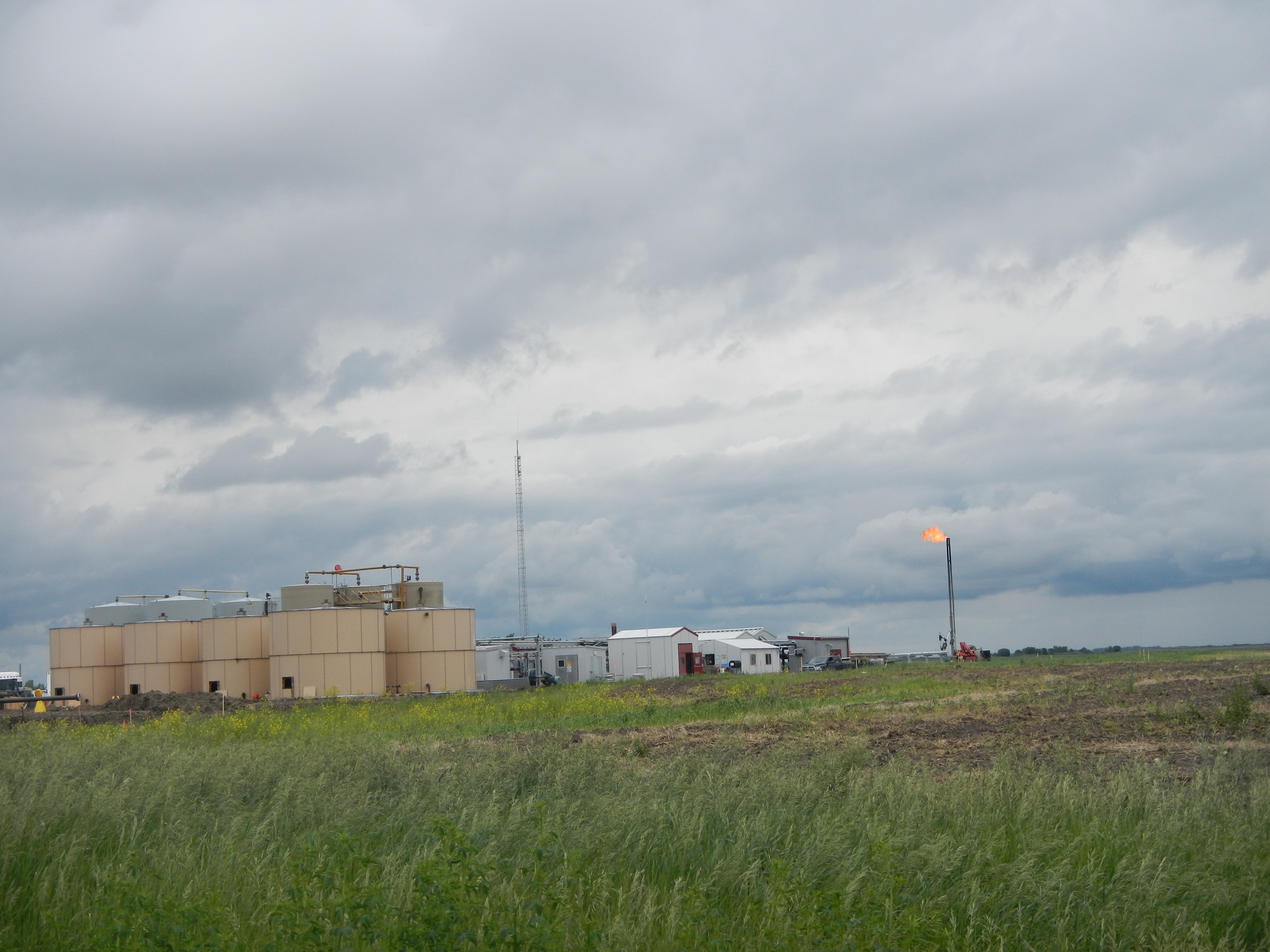
Oil production

Camera Roll-515
Camera Roll-507
Camera Roll-485

Abandoned home in Froude
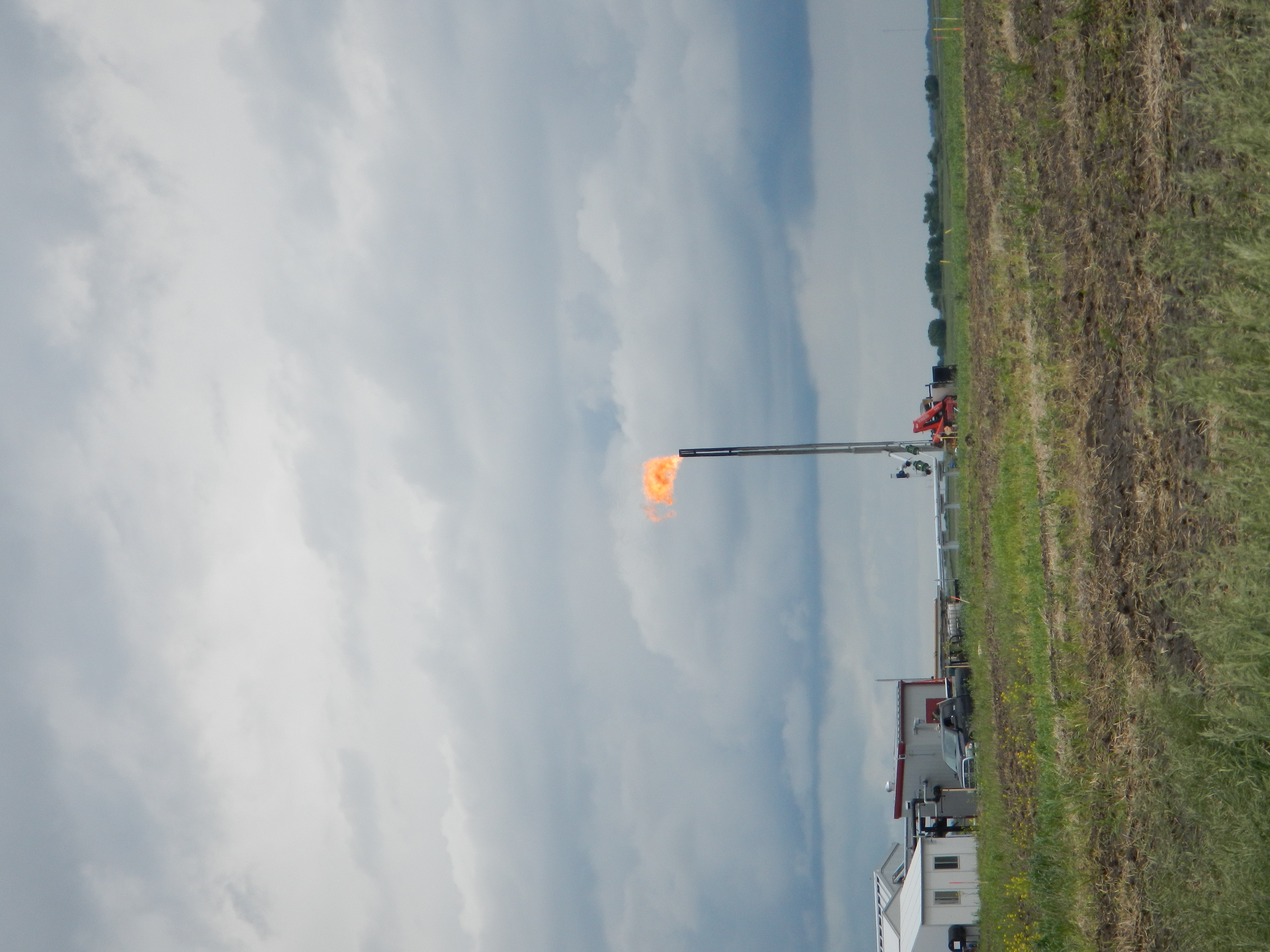
Oil production
Oil production

This Abandoned House
Topographic Map of Griffin No. 66, SK, Canada
Find elevation by address:

Places in Griffin No. 66, SK, Canada:
Places near Griffin No. 66, SK, Canada:
Griffin
6 Main St, Griffin, SK S0C 1G0, Canada
Tecumseh No. 65
Railway Ave, Goodwater, SK S0C 1E0, Canada
Main St, Benson, SK S0C 0L0, Canada
Benson
Weyburn
Central Aveune, Montmartre, SK S0G 3M0, Canada
Forget
Montmartre
Weyburn No. 67
Main St, Glenavon, SK S0G 1Y0, Canada
Glenavon
Division No. 2
Windthorst
Bismark Ave, Windthorst, SK S0G 5G0, Canada
Wolseley No. 155
Wolseley
Martin St, Sedley, SK S0G 4K0, Canada
Recent Searches:
- Elevation of 6 Rue Jules Ferry, Beausoleil, France
- Elevation of Sattva Horizon, 4JC6+G9P, Vinayak Nagar, Kattigenahalli, Bengaluru, Karnataka, India
- Elevation of Great Brook Sports, Gold Star Hwy, Groton, CT, USA
- Elevation of 10 Mountain Laurels Dr, Nashua, NH, USA
- Elevation of 16 Gilboa Ln, Nashua, NH, USA
- Elevation of Laurel Rd, Townsend, TN, USA
- Elevation of 3 Nestling Wood Dr, Long Valley, NJ, USA
- Elevation of Ilungu, Tanzania
- Elevation of Yellow Springs Road, Yellow Springs Rd, Chester Springs, PA, USA
- Elevation of Rēzekne Municipality, Latvia