Elevation of Greybull Hwy, Cody, WY, USA
Location: United States > Wyoming > Cody >
Longitude: -109.00808
Latitude: 44.512775
Elevation: 1552m / 5092feet
Barometric Pressure: 84KPa
Elevation Map:
Satellite Map:
Related Photos:
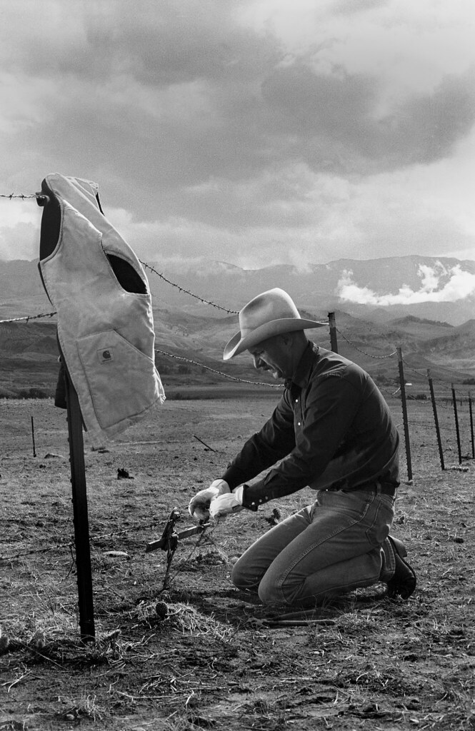
Mending The Fence
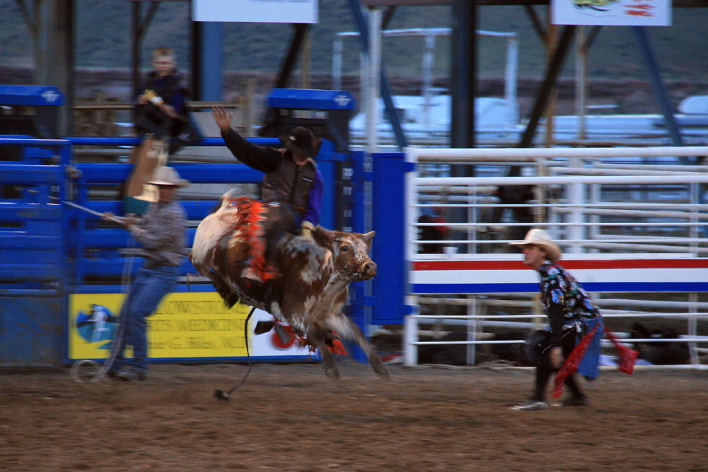
Bull riding
Colter's Hell
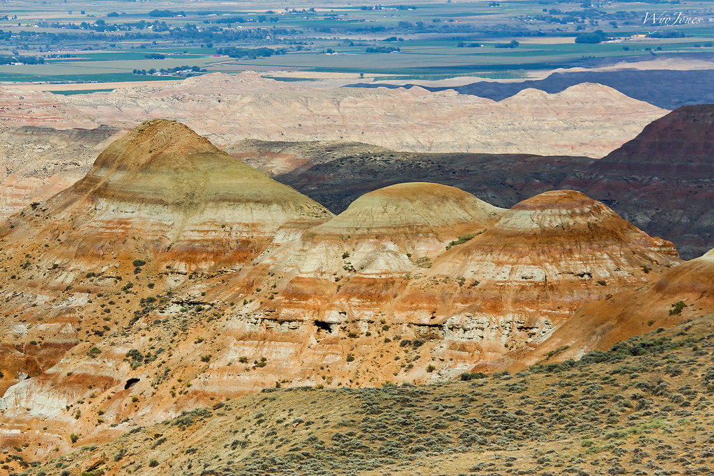
View from McCullough Peaks

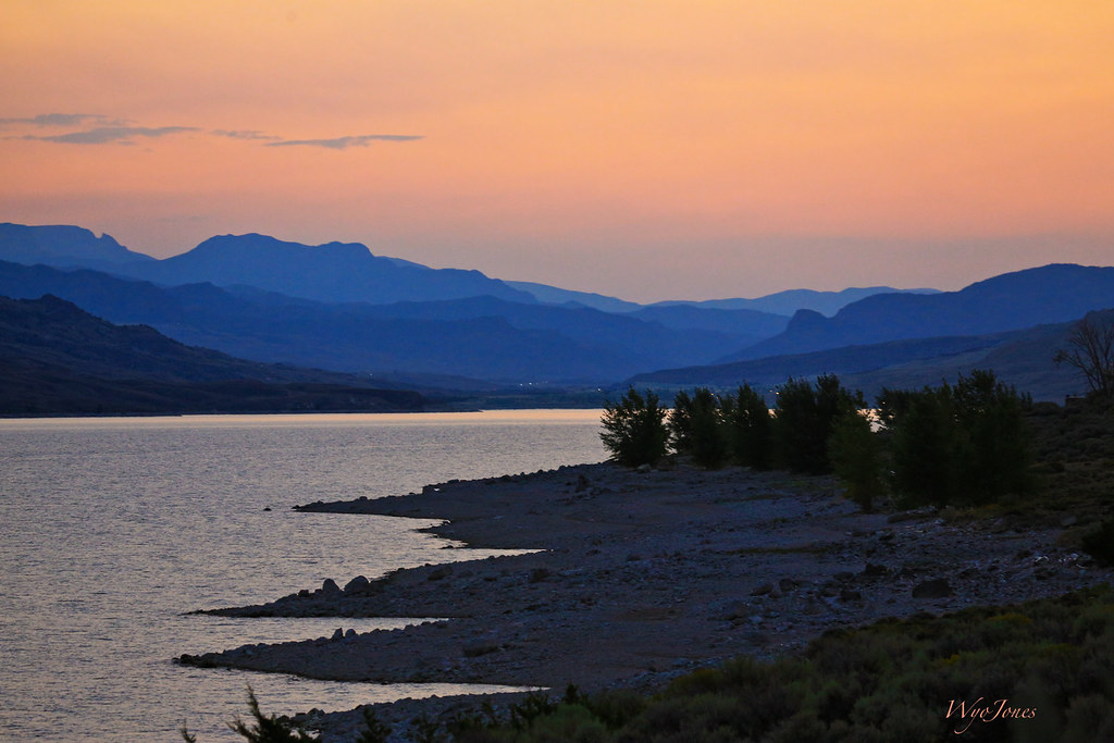
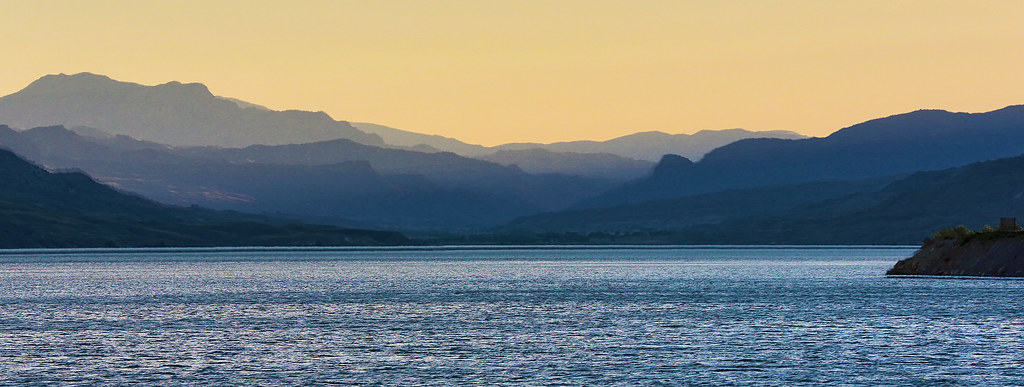
Buffalo Bill Resevoir
Storm Clouds Move In

Clothes Line
Trimming Trees on The Golf Course

Oregon Trail
Smoke in Wapiti Valley
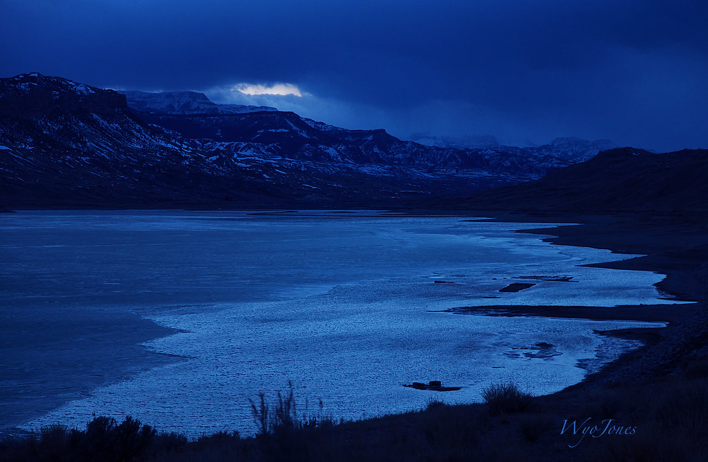
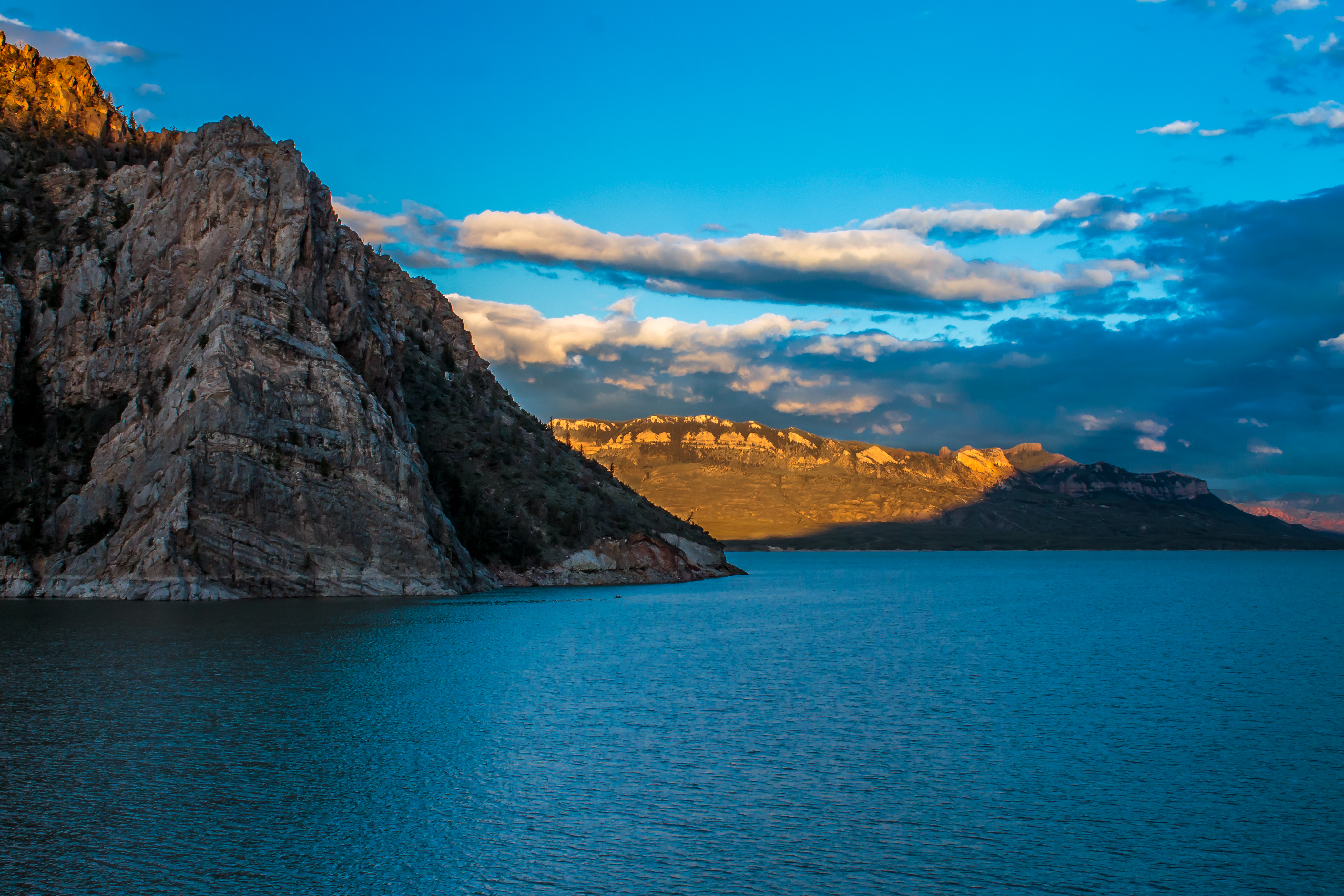
Ice on Buffalo Bill
A Stormy Afternoon
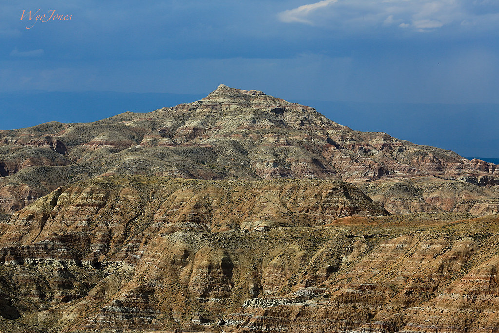
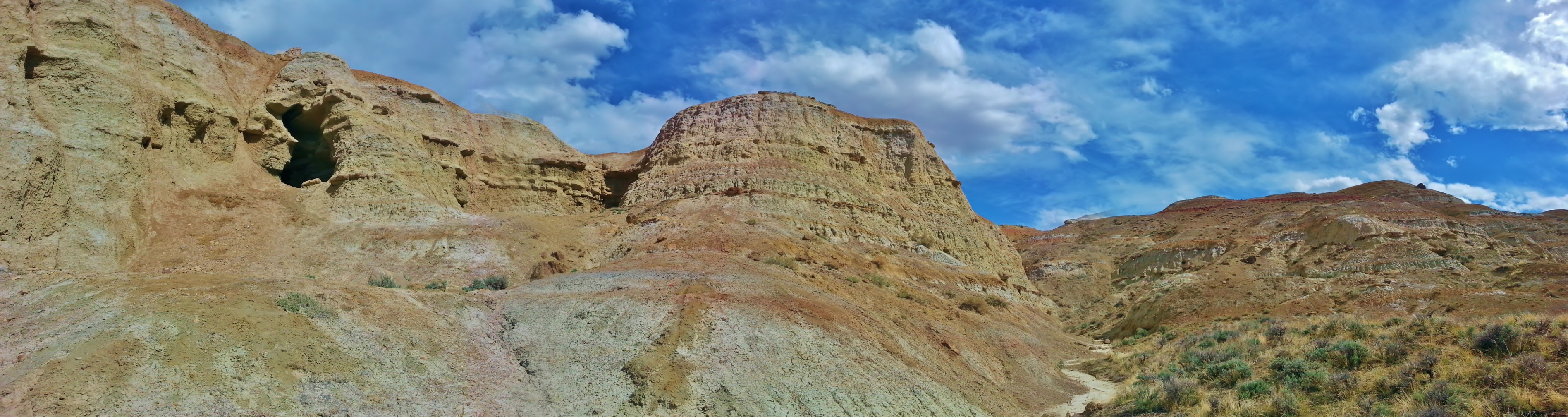
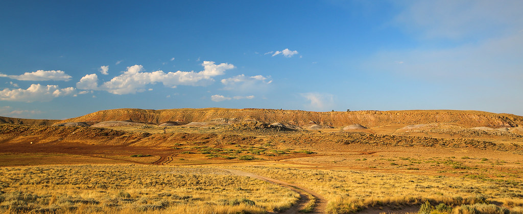
McCullough Peaks-Willwood Badlands
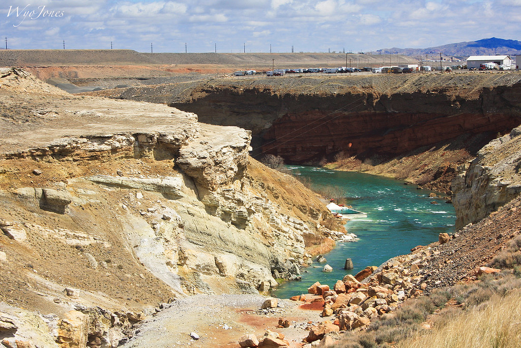
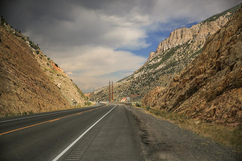
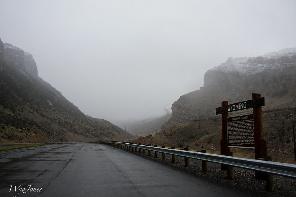
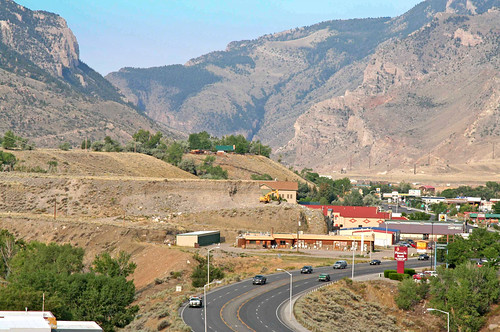
Entrance to Shoshone Canyon
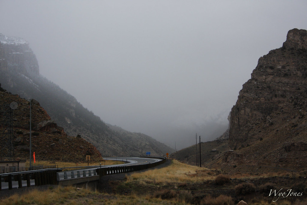
Old Shoshone Canyon (Yellowstone) Highway
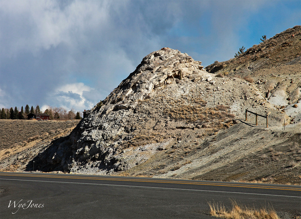
Hot Springs Cone
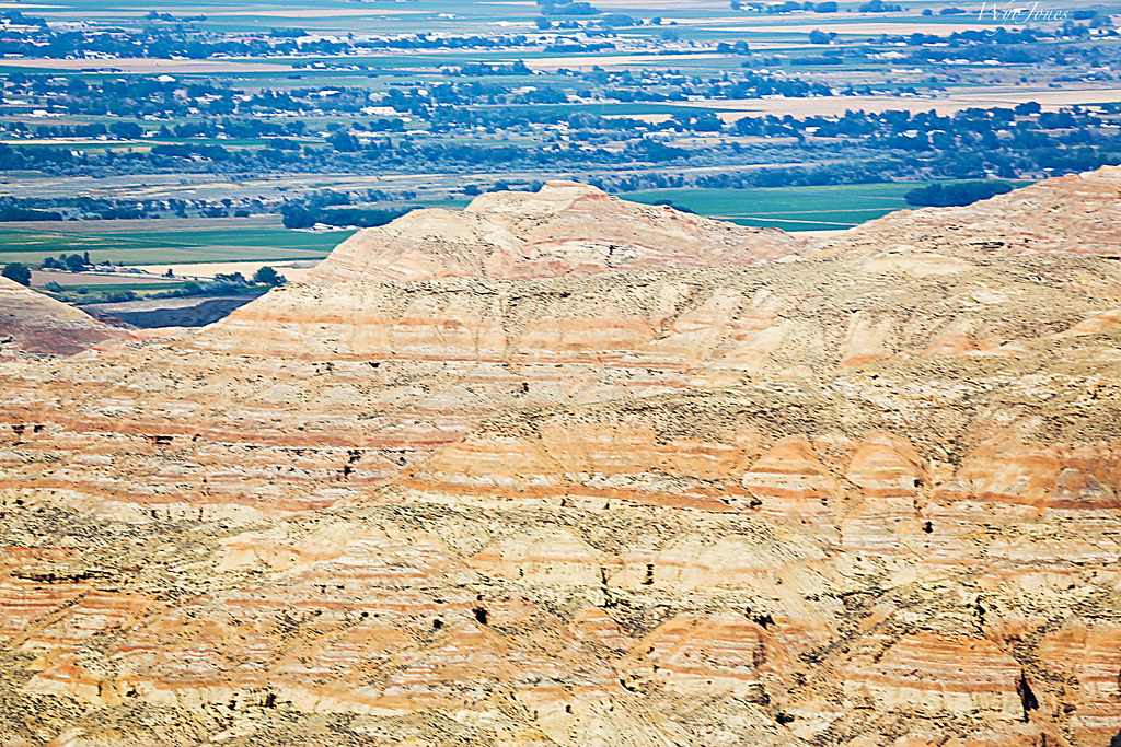
Willwood Badlands
Old Trail Town View
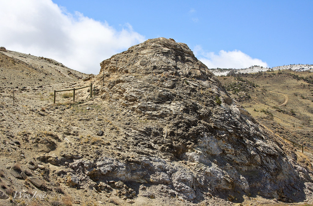
Hot Springs Cone
Rows of Mountain Ridges
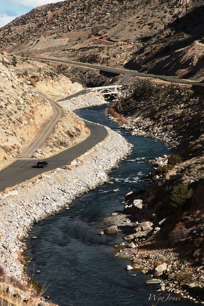
River Terraces Cody Wyoming
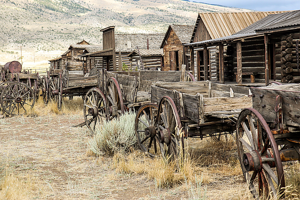
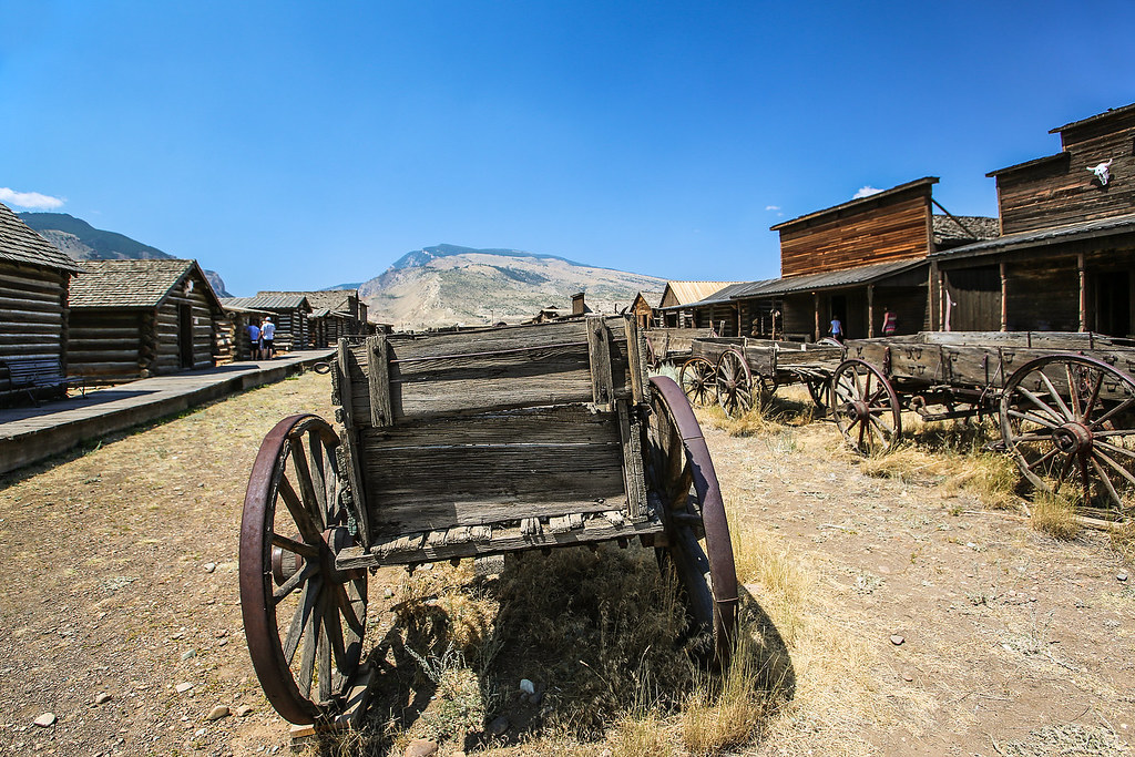
Old Trail Town
After the time tunnel-2771
Old Trail Town
Mountain Caves
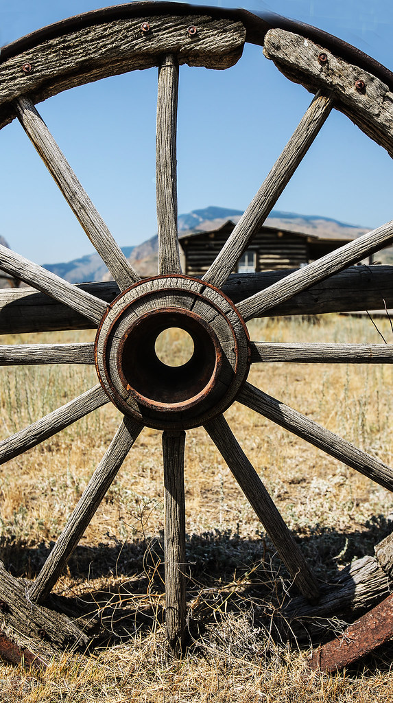
Through The Spokes

Old Trail Town
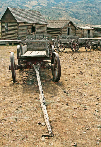
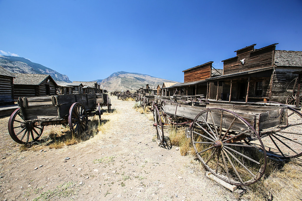
Wagon on Main Street
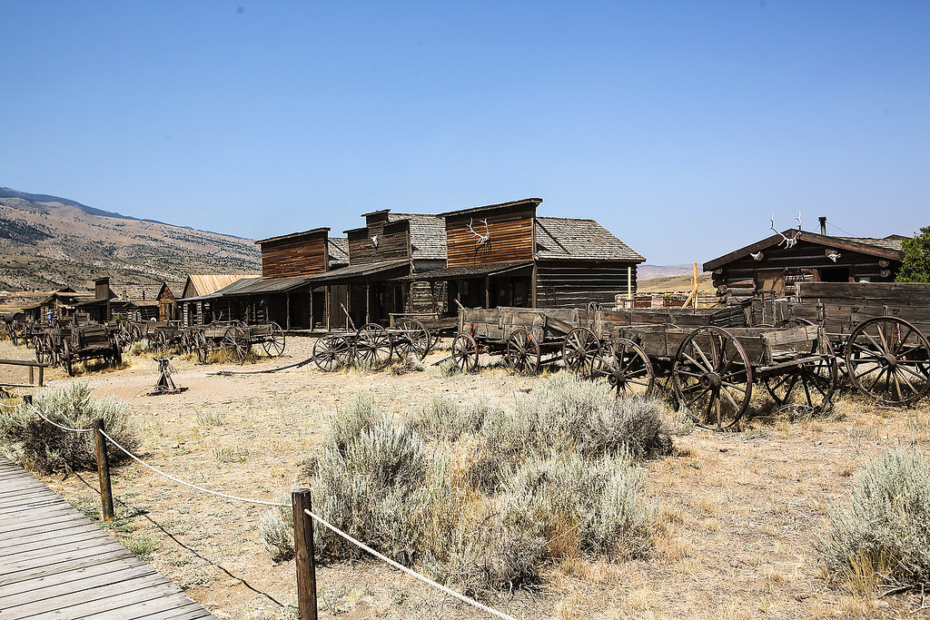
Old Trail Town

April 30 2016 - 300 Million years of erosion by the Shoshone River

Buffalo Bill Dam in Velvia.
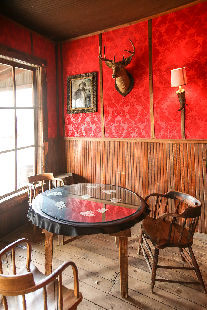
Poker Table in the Corner
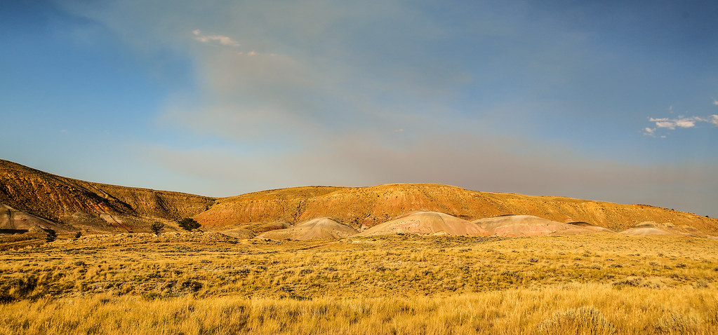
Colorful Hills

Where 2 Fence Lines Meet
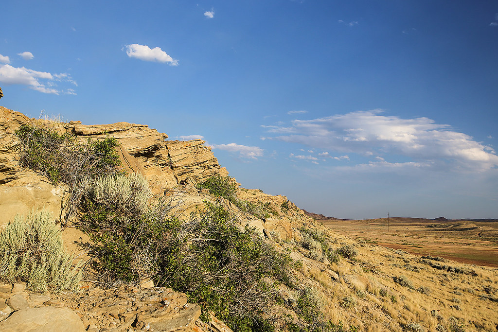
Sandstone Ledge
Two Track Road Toward "The Red Hill"
Topographic Map of Greybull Hwy, Cody, WY, USA
Find elevation by address:

Places near Greybull Hwy, Cody, WY, USA:
3528 Cottonwood Ave
17 Horner Dr
2801 Lincoln Ave
Cody, WY, USA
Valley Federal Credit Union
Carter Mountain Motel
Cody
4727 Powell Hwy
1815 8th St
1338 Monument St
232 W Yellowstone Ave
West Yellowstone Avenue
400 Southfork Rd
Powell Hwy, Powell, WY, USA
75 Marquette Dr
1757 Eaglenest Trail
Dry Creek
Buffalo Bill State Park
Main St, Burlington, WY, USA
93 Davis Draw Rd
Recent Searches:
- Elevation of Luther Road, Luther Rd, Auburn, CA, USA
- Elevation of Unnamed Road, Respublika Severnaya Osetiya — Alaniya, Russia
- Elevation of Verkhny Fiagdon, North Ossetia–Alania Republic, Russia
- Elevation of F. Viola Hiway, San Rafael, Bulacan, Philippines
- Elevation of Herbage Dr, Gulfport, MS, USA
- Elevation of Lilac Cir, Haldimand, ON N3W 2G9, Canada
- Elevation of Harrod Branch Road, Harrod Branch Rd, Kentucky, USA
- Elevation of Wyndham Grand Barbados Sam Lords Castle All Inclusive Resort, End of Belair Road, Long Bay, Bridgetown Barbados
- Elevation of Iga Trl, Maggie Valley, NC, USA
- Elevation of N Co Rd 31D, Loveland, CO, USA