Elevation of Grey County Rd 4, Priceville, ON N0C 1K0, Canada
Location: Canada > Ontario > Grey County > Grey Highlands > Priceville >
Longitude: -80.741423
Latitude: 44.1915587
Elevation: 409m / 1342feet
Barometric Pressure: 97KPa
Elevation Map:
Satellite Map:
Related Photos:
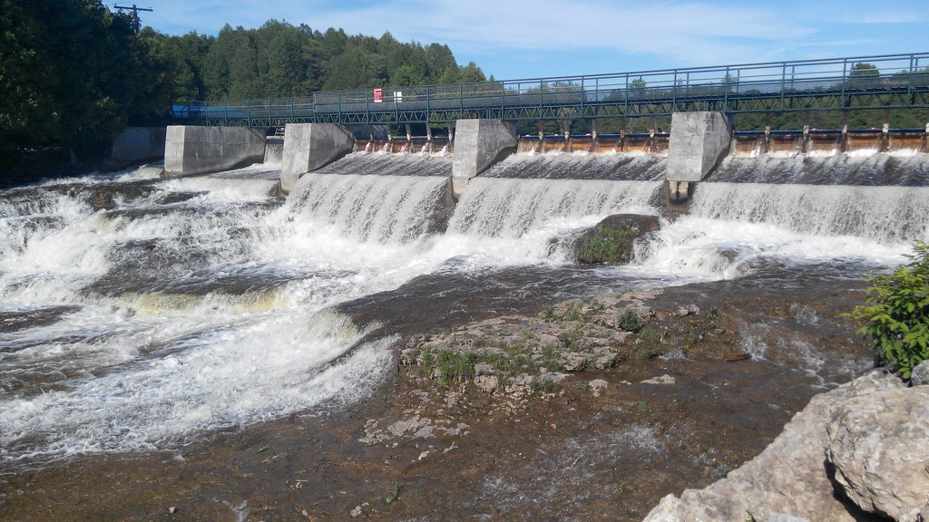
Dam View
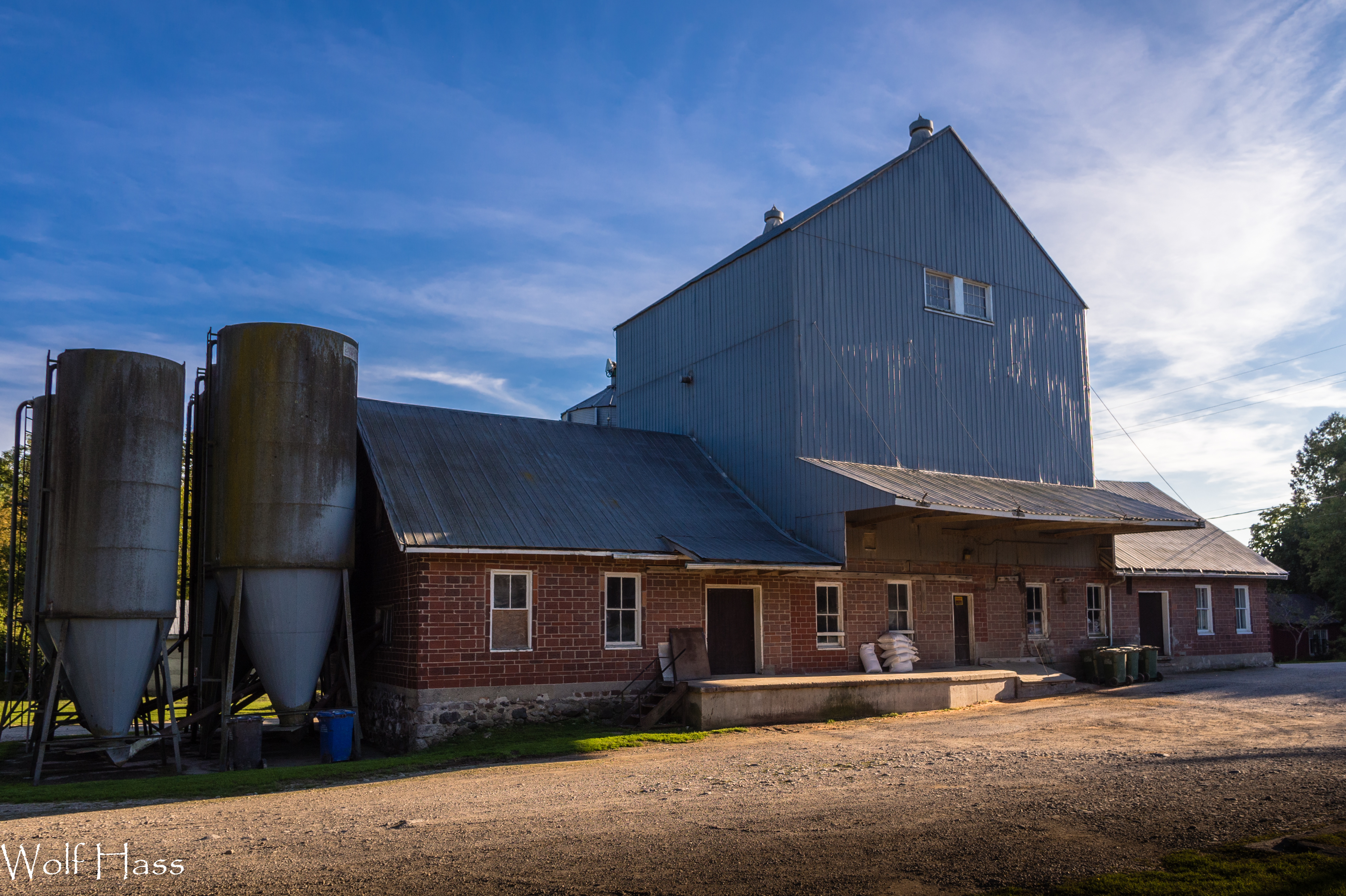
Holstein Mill.jpg
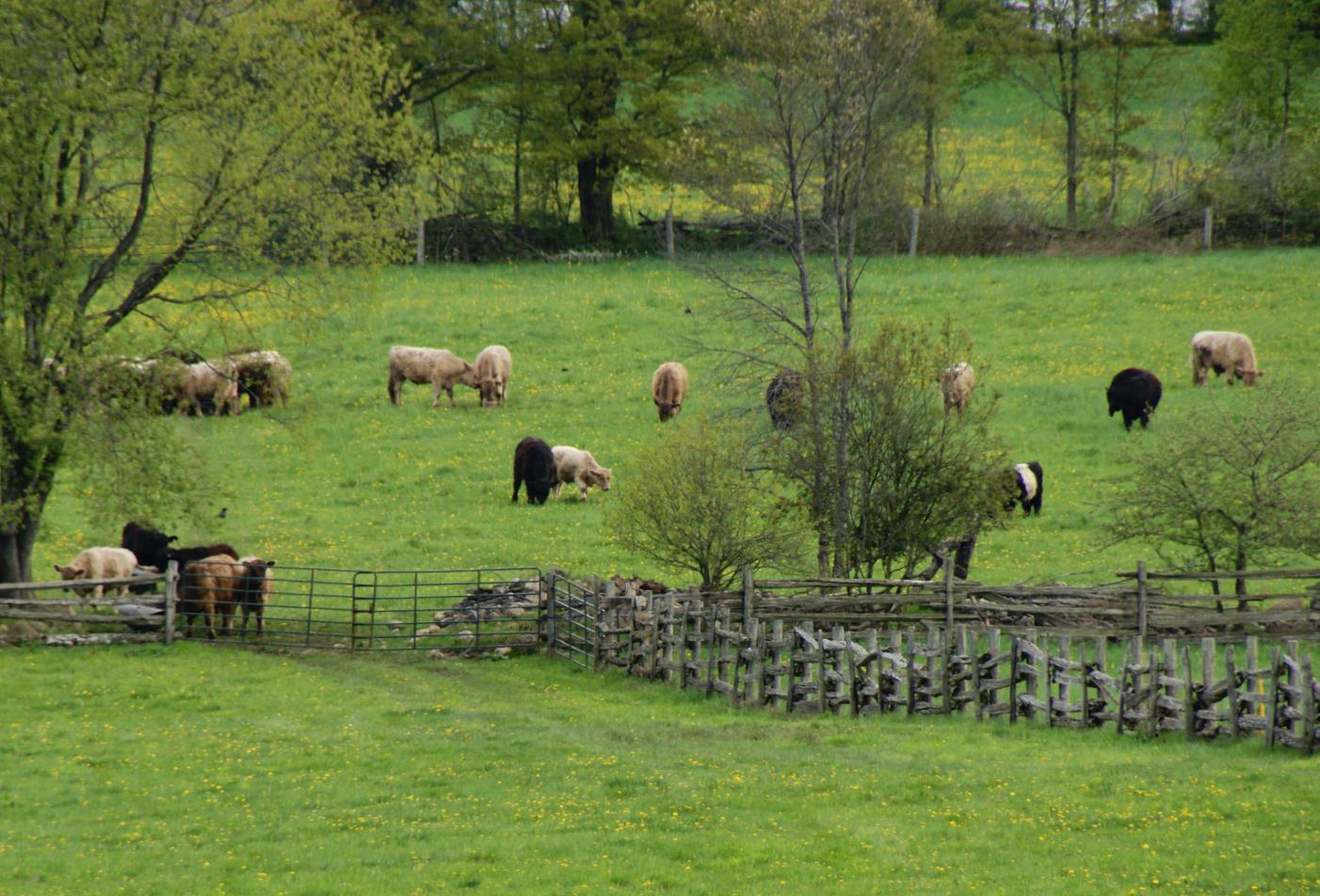
2011-05-21_Grass Fed Beef
Side View
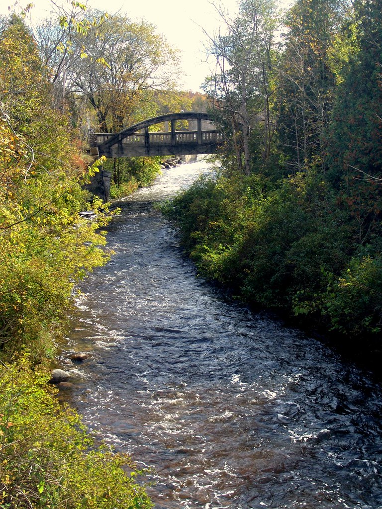
Bridge at Orchardville (Holstein), Ontario
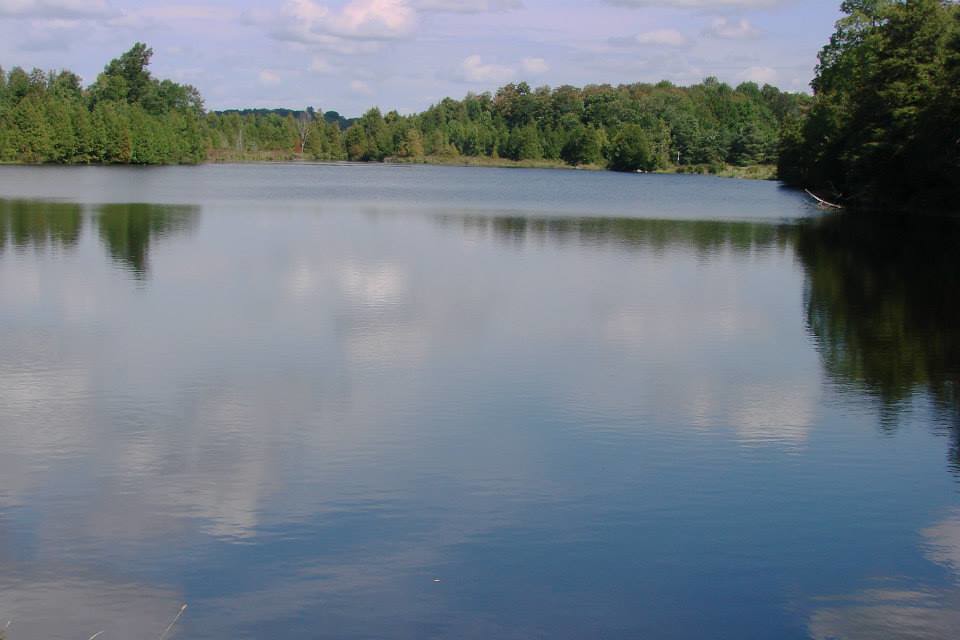
Upper Dam - Reservoir View

Side View
Dam View
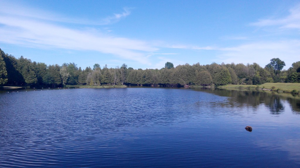
Reservoir View
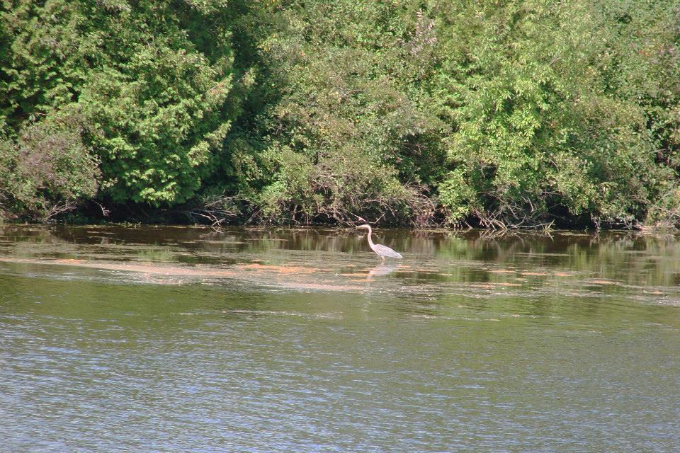
Reservoir View
Reservoir View
Front View Dam
View from the Base of Arthur's Seat

Pond view, from the cottage.
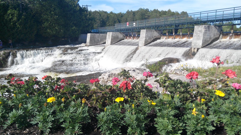
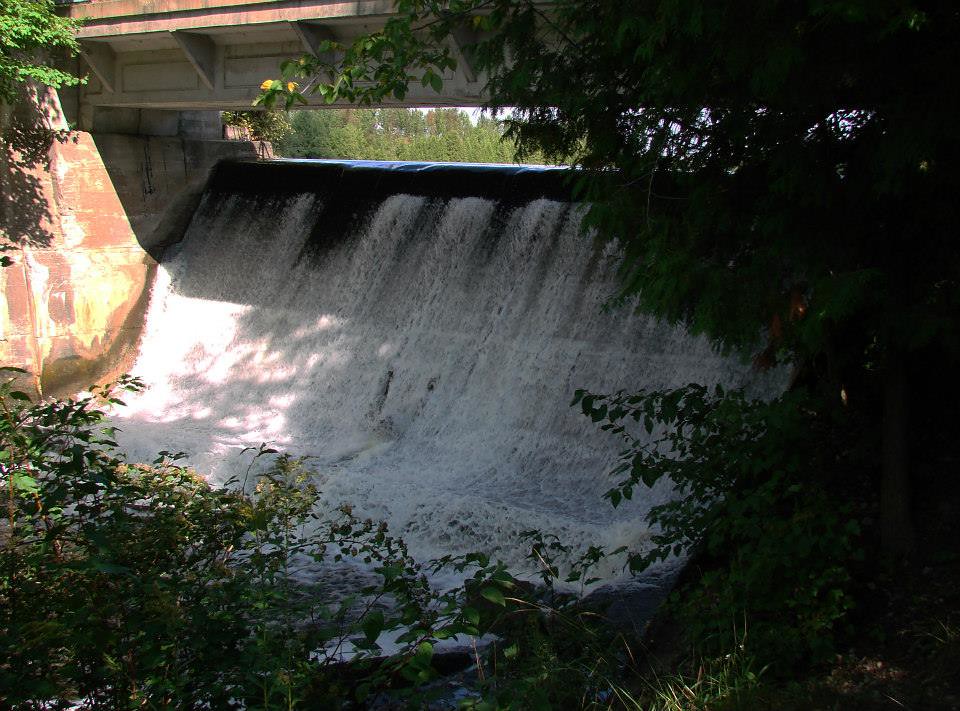
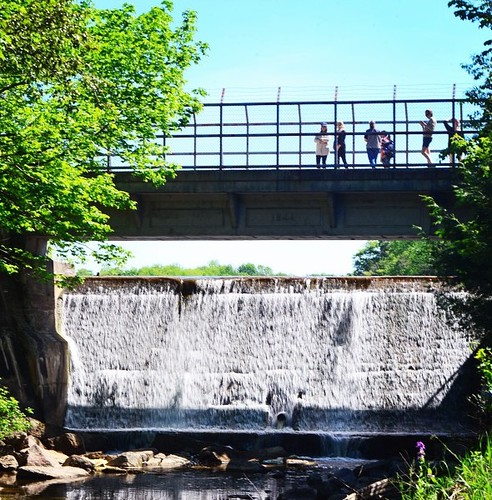
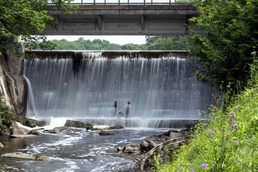
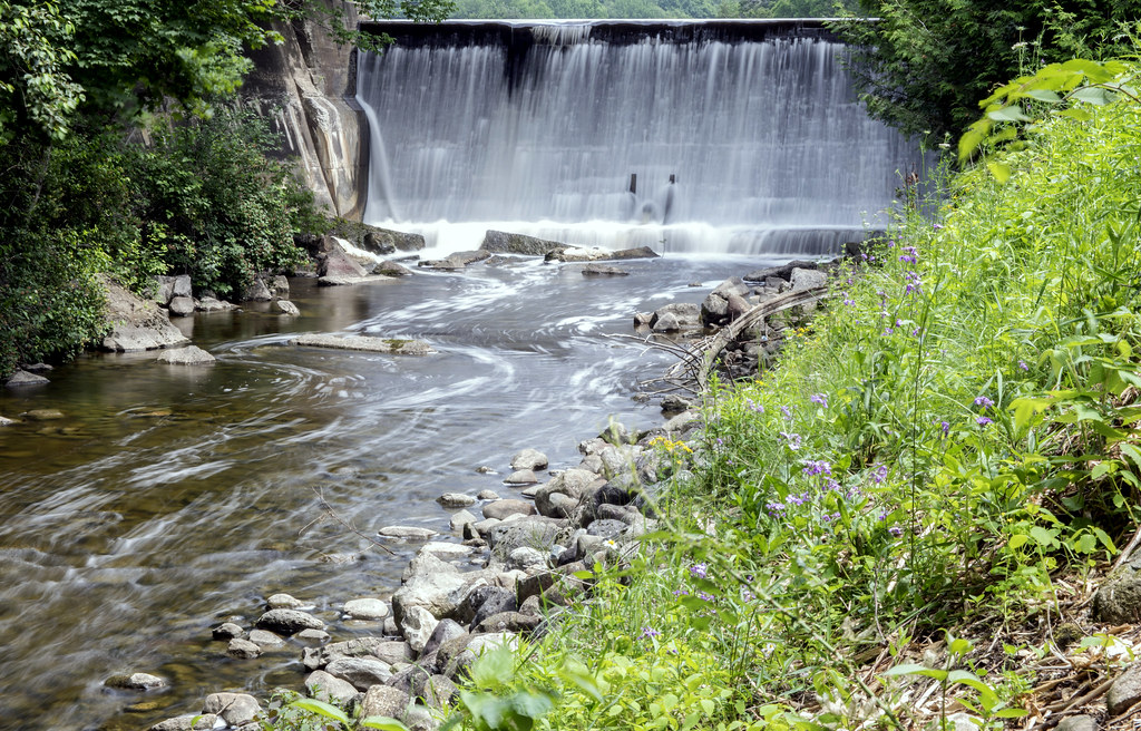
McGowan Falls

Yellow Farm
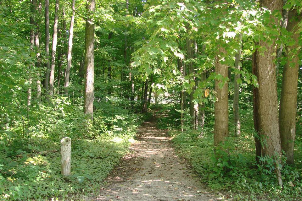
Welcoming path

McGowan Falls, Ontario

In the Jungle
Tall enough
Start of the David Suzuki 30 by 30 challenge.

Styx River
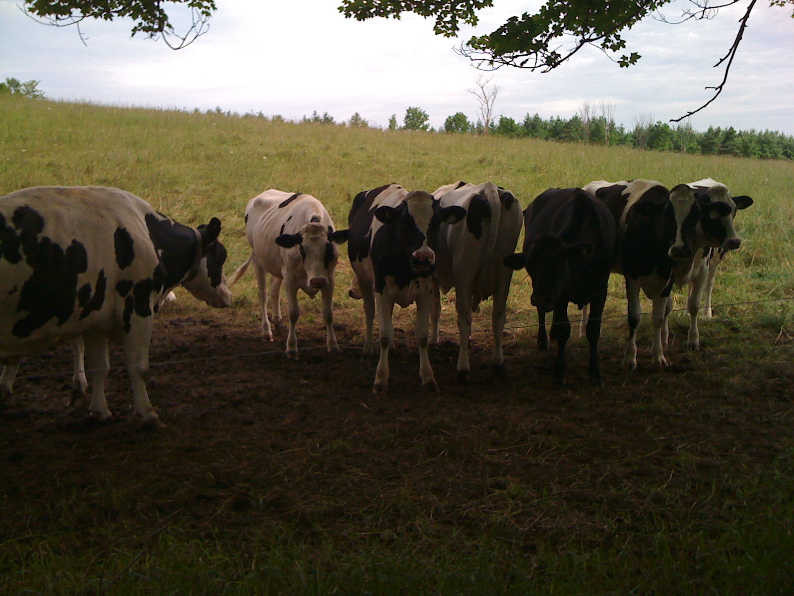
Hello, ladies
Trail to Dam
Holstein Dam
Holstein Dam

白色风车 | Wind generator #white #autumn #fall #yellow #sky #blue #wind #generator #blind #farm #ontario #canada #f4f #followforfollow #iphone #iphonephotooftheday #photography #photooftheday #landscape #nature #human #life #clear #love

McGowan Falls, Ontario
Topographic Map of Grey County Rd 4, Priceville, ON N0C 1K0, Canada
Find elevation by address:

Places near Grey County Rd 4, Priceville, ON N0C 1K0, Canada:
403751 Grey County Rd 4
403759 Grey County Rd 4
553249 Grey Rd 23
555 George St E
555 George St E
549 George St E
545 George St E
Wilder Lake Road
537 George St E
537 George St E
537 George St E
537 George St E
537 George St E
537 George St E
548 George St E
552 George St E
172 South Street E
590 Albert St S
Durham
14 Durham Rd E
Recent Searches:
- Elevation of Congressional Dr, Stevensville, MD, USA
- Elevation of Bellview Rd, McLean, VA, USA
- Elevation of Stage Island Rd, Chatham, MA, USA
- Elevation of Shibuya Scramble Crossing, 21 Udagawacho, Shibuya City, Tokyo -, Japan
- Elevation of Jadagoniai, Kaunas District Municipality, Lithuania
- Elevation of Pagonija rock, Kranto 7-oji g. 8"N, Kaunas, Lithuania
- Elevation of Co Rd 87, Jamestown, CO, USA
- Elevation of Tenjo, Cundinamarca, Colombia
- Elevation of Côte-des-Neiges, Montreal, QC H4A 3J6, Canada
- Elevation of Bobcat Dr, Helena, MT, USA