Elevation of Greenfields, Kibworth, Debdale Wharf Nr Debdale Wharf, Leicester LE8 0XA, UK
Location: United Kingdom > Leicestershire >
Longitude: -0.9760729
Latitude: 52.5174015
Elevation: 103m / 338feet
Barometric Pressure: 100KPa
Elevation Map:
Satellite Map:
Related Photos:

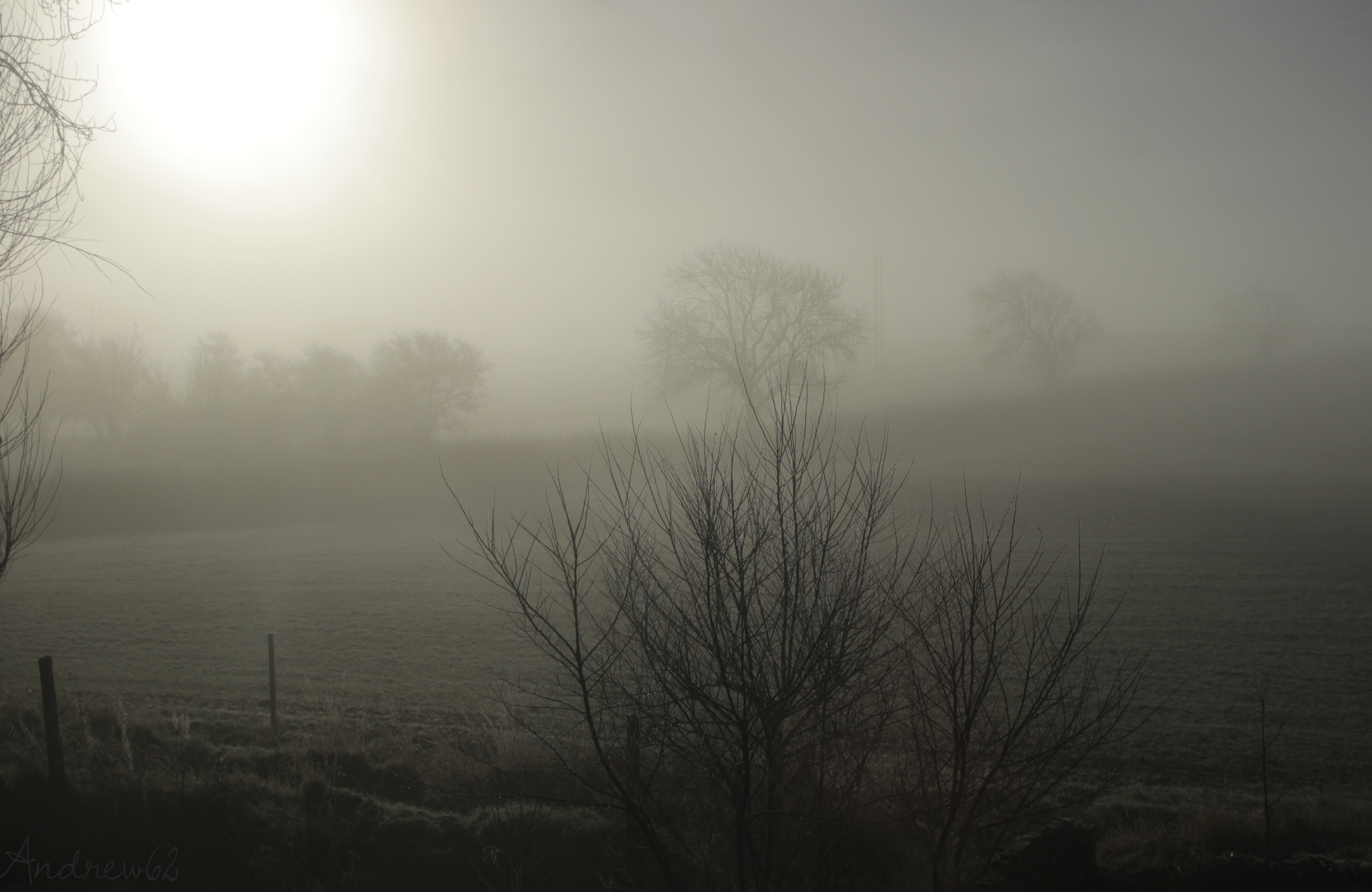
Winter Mist - In full colour!
15 - 46.
My Morning Walk.
Country Lane
Fairyland.
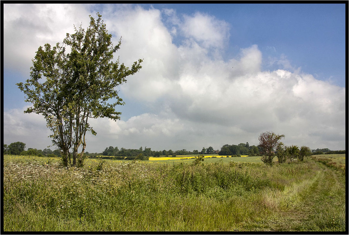
A Light Breeze.
It may not be the right way to pray
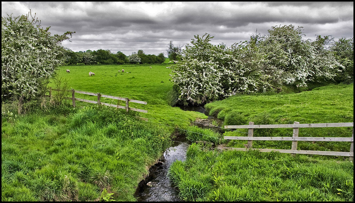
The Little Stream.
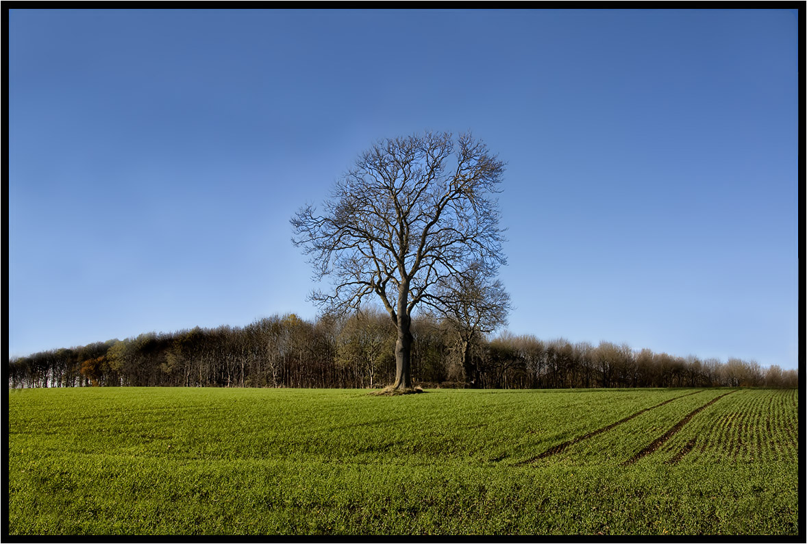
The Lonely One.

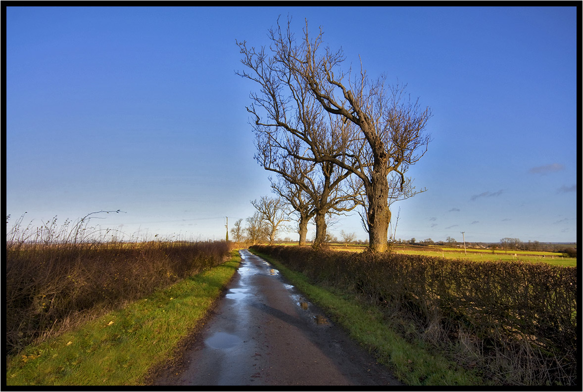
Country Lane.
New woodland.
The Old Tree.
Two Trees.
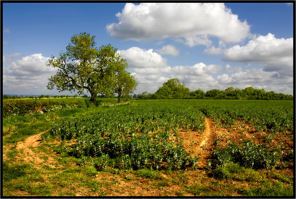
That field again.
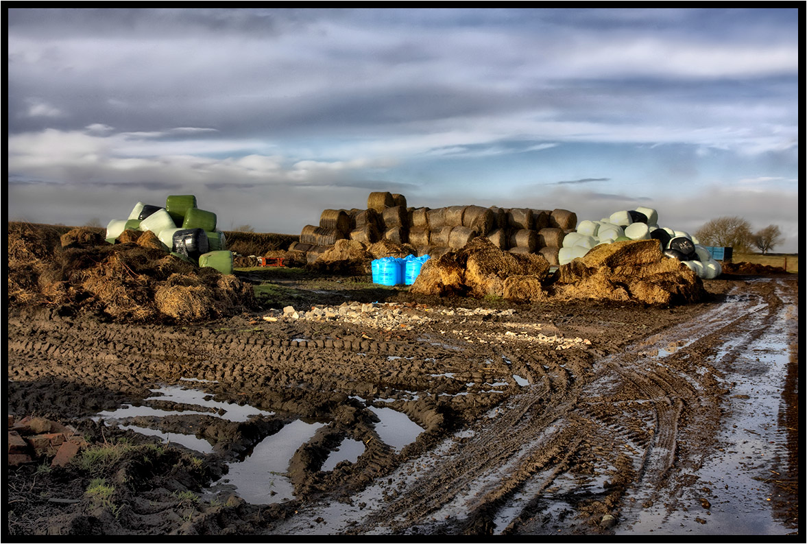
Winter farm yard.
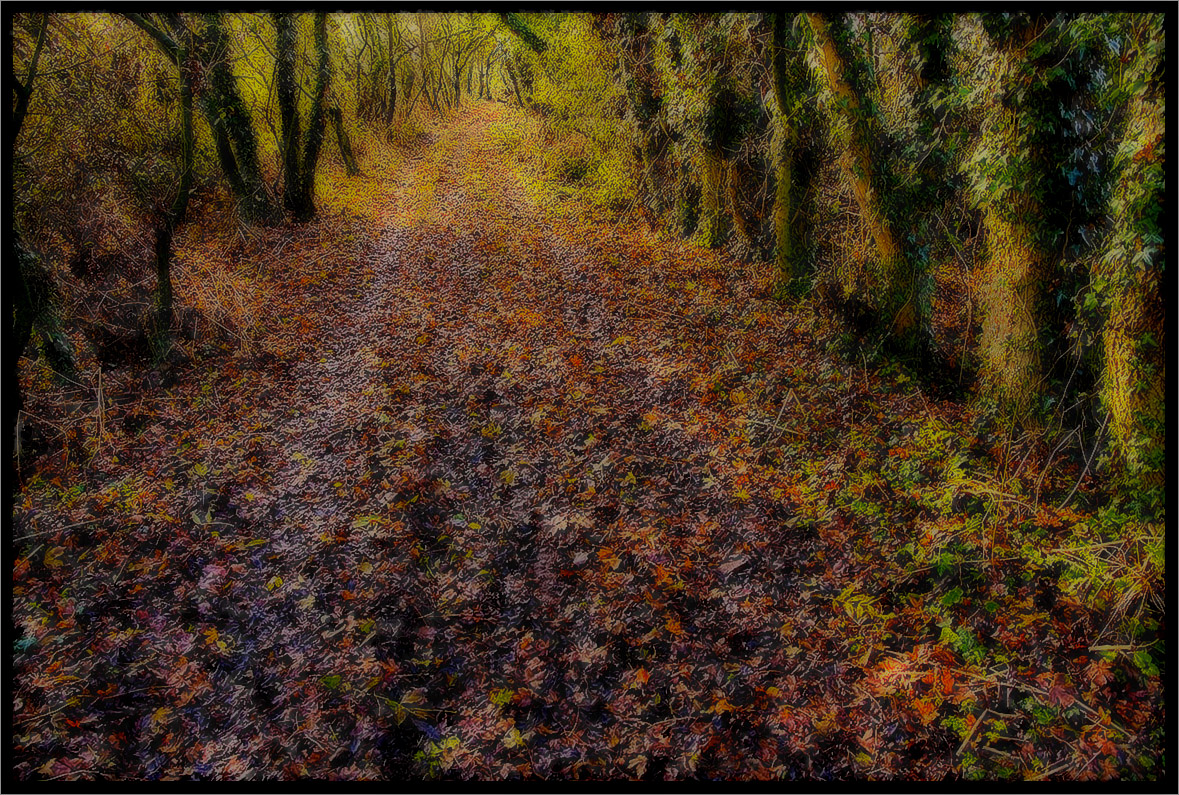
The Path.
A Footpath.
Under The Clouds.
Country Lane.
The Cattle Grid.
The Old Farm.
Across the fields.
The Prevailing Wind.
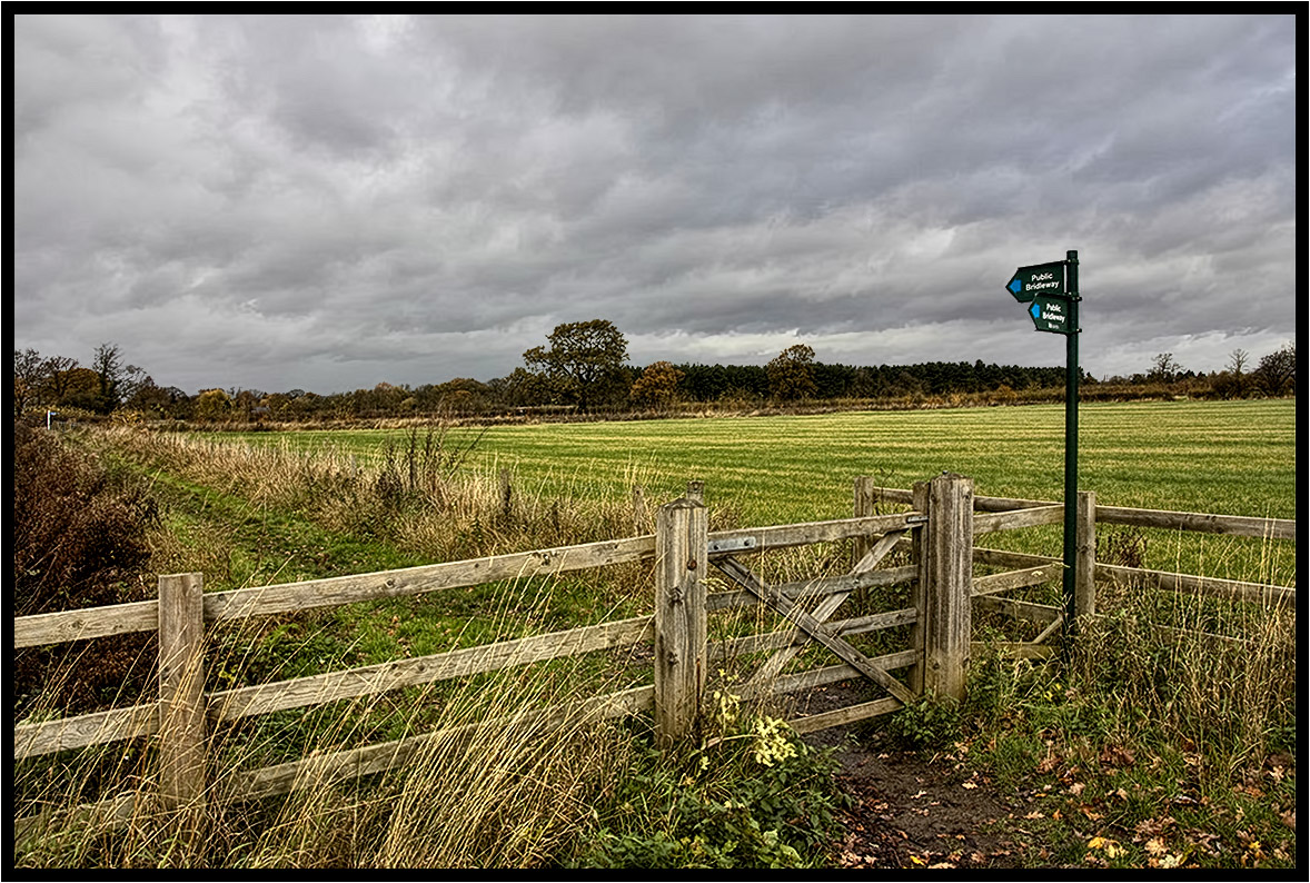
The Bridleway.
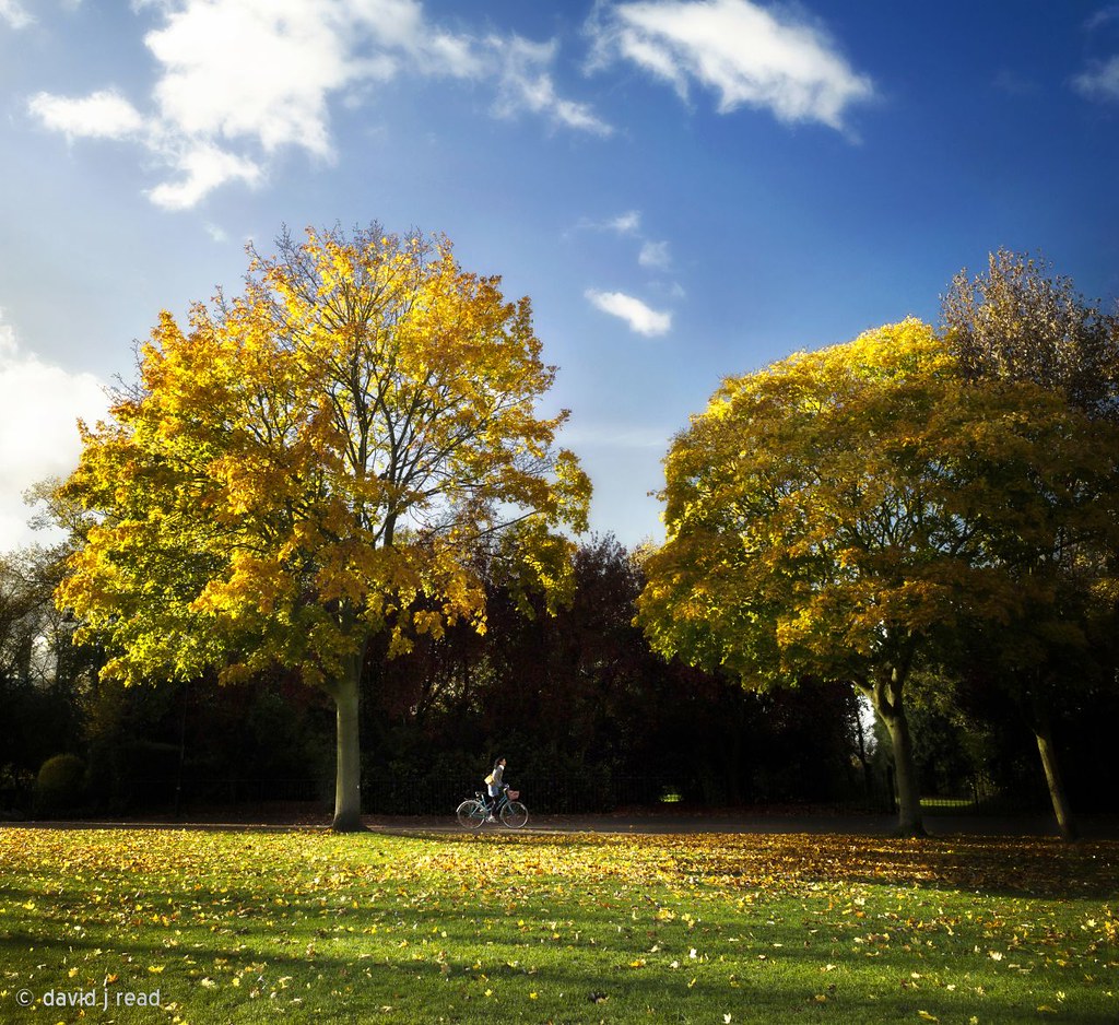
cycling in the park
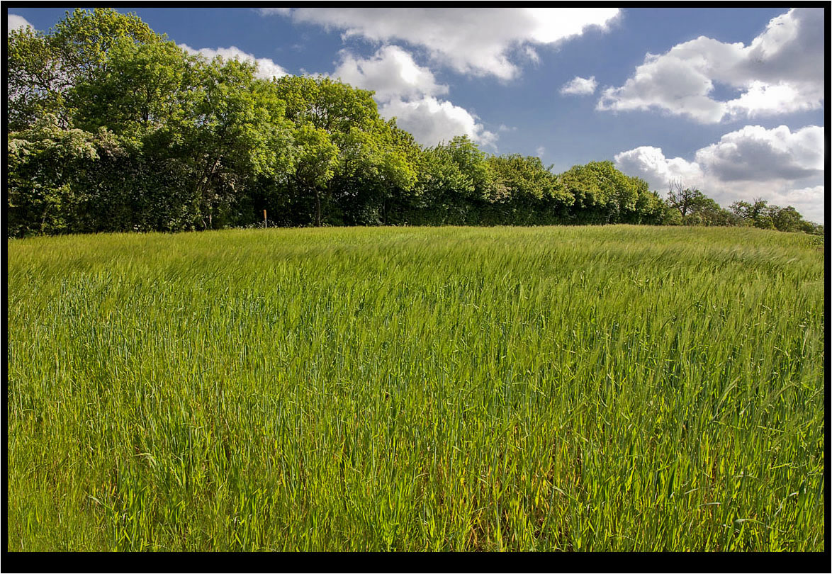
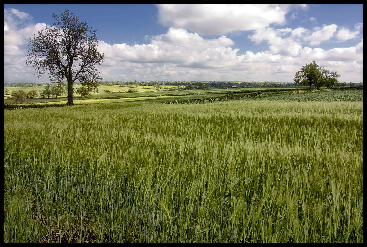
The Young Crop.
The Trees.
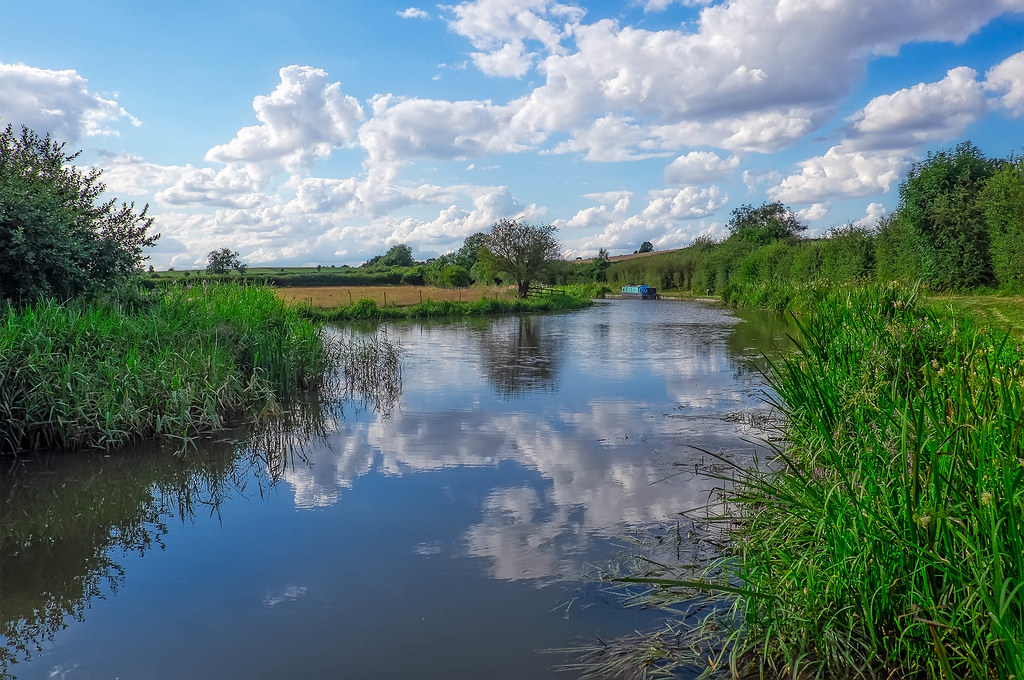
Grand Union Canal, Saddington, Leicestershire
Across The Fields 2.
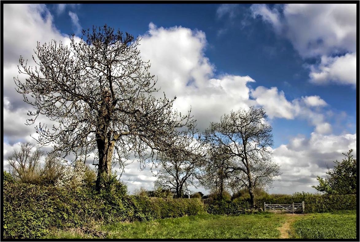
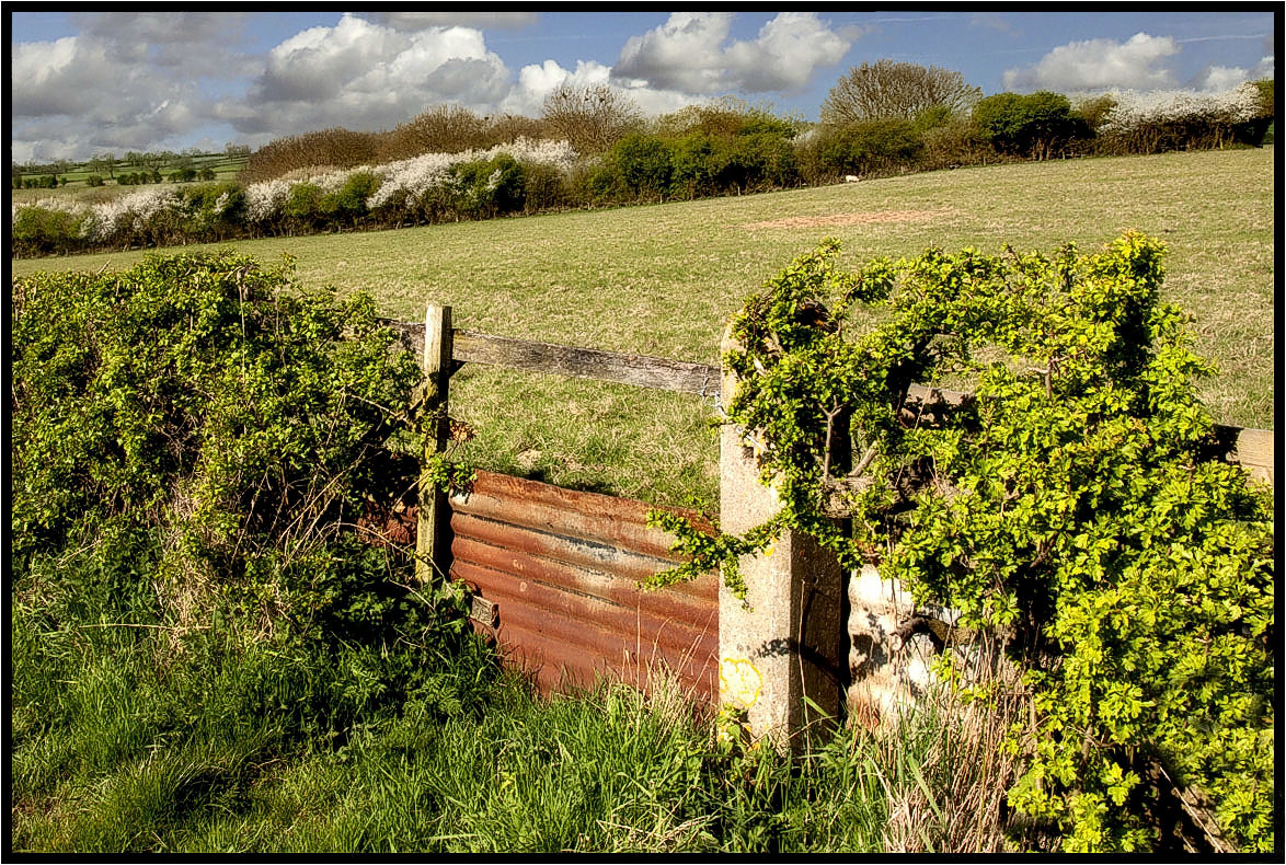
The Footpath Gate.

Winter Tree
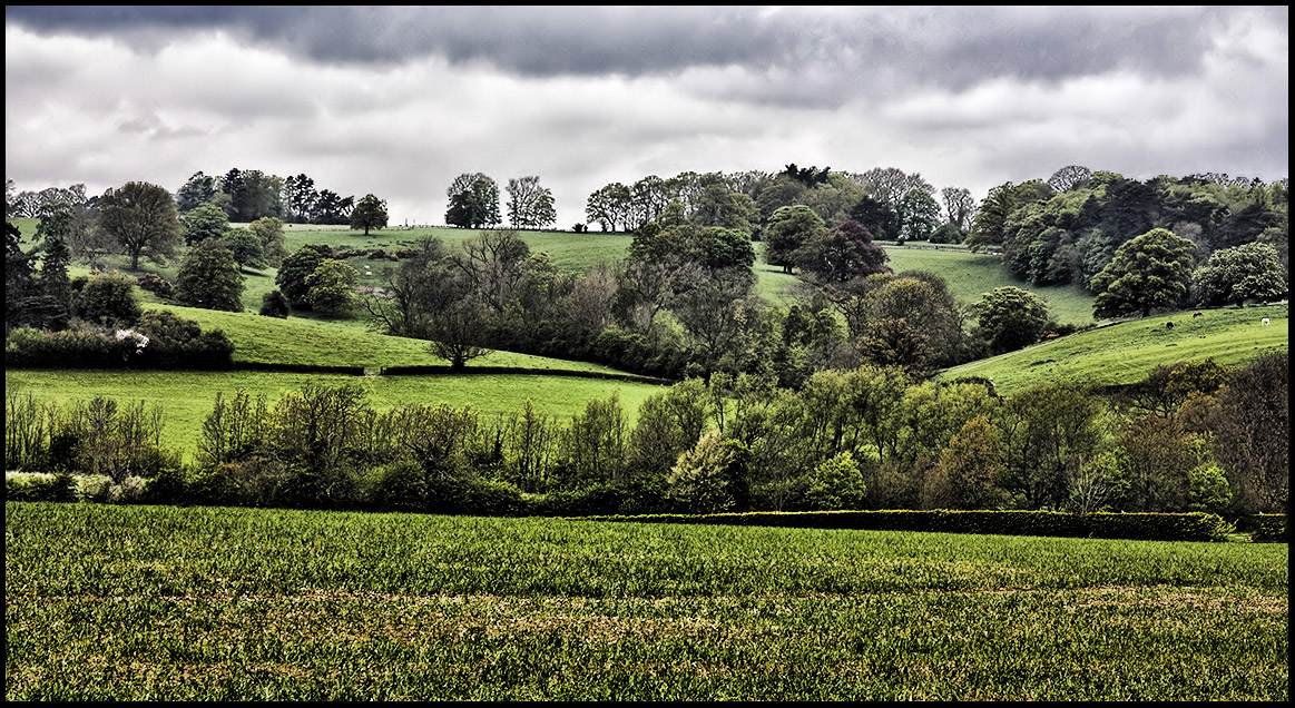
South Leicester-shire.

Tall Trees and Long Shadows
Topographic Map of Greenfields, Kibworth, Debdale Wharf Nr Debdale Wharf, Leicester LE8 0XA, UK
Find elevation by address:

Places near Greenfields, Kibworth, Debdale Wharf Nr Debdale Wharf, Leicester LE8 0XA, UK:
45 Kingston Way, Market Harborough LE16 7XB, UK
Saddington
The Cottage
Le16 9sl
Charley Close
East Farndon
Market Harborough
100 Bath St
Market Harborough
1 Sutton Rd, Great Bowden, Market Harborough LE16 7HW, UK
Great Bowden
43 Kettering Rd
8 Rolleston Cl
Naseby
1 Hallaton Rd, Medbourne, Market Harborough LE16 8DR, UK
Spring Bank
Medbourne
Rothwell
5 New St, Rothwell, Kettering NN14 6EU, UK
Nn14 6gw
Recent Searches:
- Elevation of Elwyn Dr, Roanoke Rapids, NC, USA
- Elevation of Congressional Dr, Stevensville, MD, USA
- Elevation of Bellview Rd, McLean, VA, USA
- Elevation of Stage Island Rd, Chatham, MA, USA
- Elevation of Shibuya Scramble Crossing, 21 Udagawacho, Shibuya City, Tokyo -, Japan
- Elevation of Jadagoniai, Kaunas District Municipality, Lithuania
- Elevation of Pagonija rock, Kranto 7-oji g. 8"N, Kaunas, Lithuania
- Elevation of Co Rd 87, Jamestown, CO, USA
- Elevation of Tenjo, Cundinamarca, Colombia
- Elevation of Côte-des-Neiges, Montreal, QC H4A 3J6, Canada