Elevation of Green Meadows Dr, Middleville, MI, USA
Location: United States > Michigan > Barry County > Thornapple Township > Middleville >
Longitude: -85.477388
Latitude: 42.7066055
Elevation: 243m / 797feet
Barometric Pressure: 98KPa
Elevation Map:
Satellite Map:
Related Photos:
Sitting on my tripod (180/365)
our view of gun lake
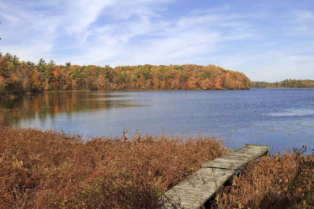
Autumn View

View from Graves Hill

Side View
Front View
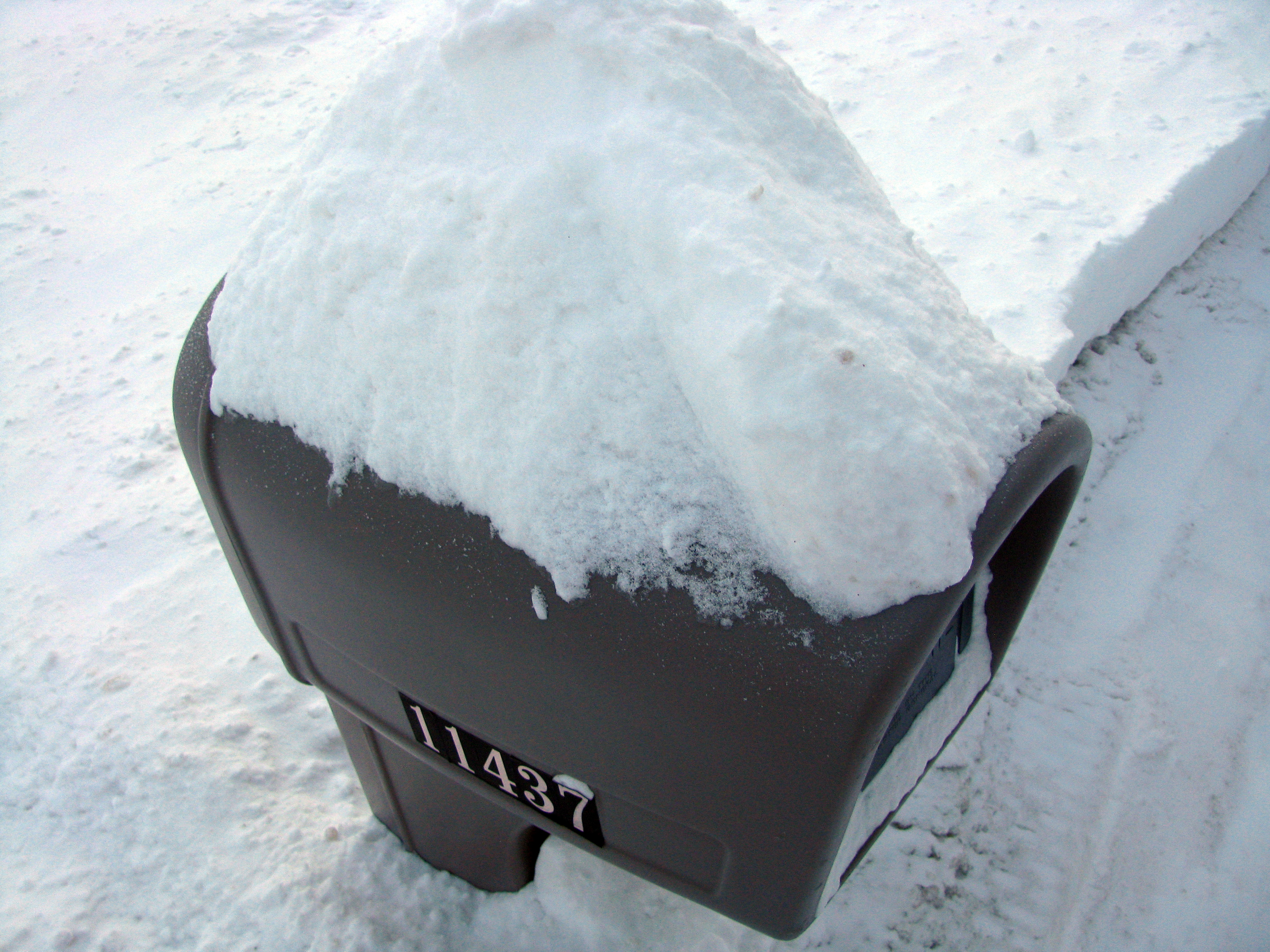
Obscure View of Mailbox

Foggy grey day on the Thornapple River #alaskami #puremichigan #foggy #grey #thornappleriver #experiencegr #riverside #landscape #calm #trees #twisted #layers #westmichigan #mystical #riverbank #winter #tributary #erie
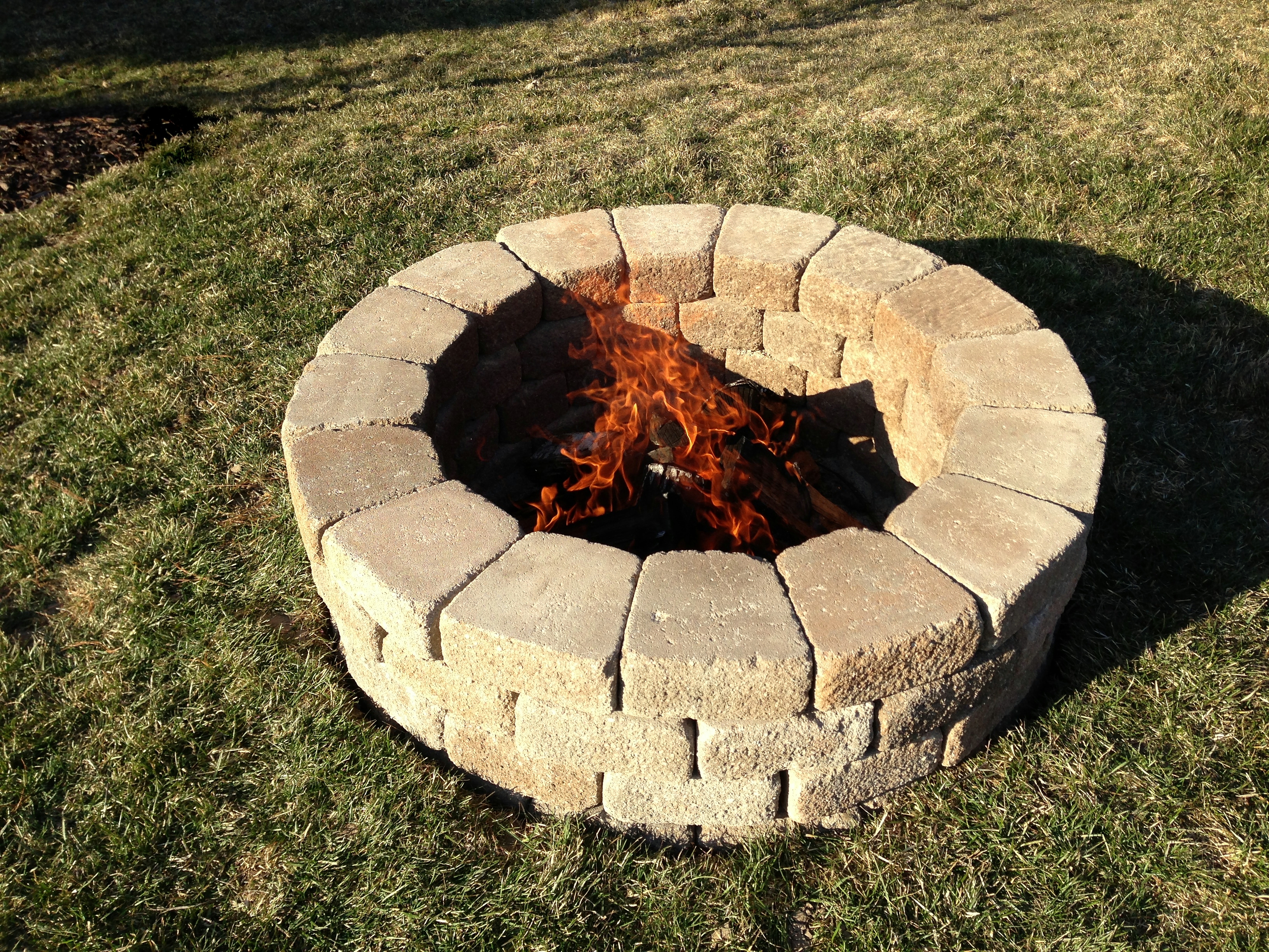
Fire Pit
20140510-DSC02440.jpg

20140510-DSC02438.jpg

20140510-DSC02437.jpg

Dirt road
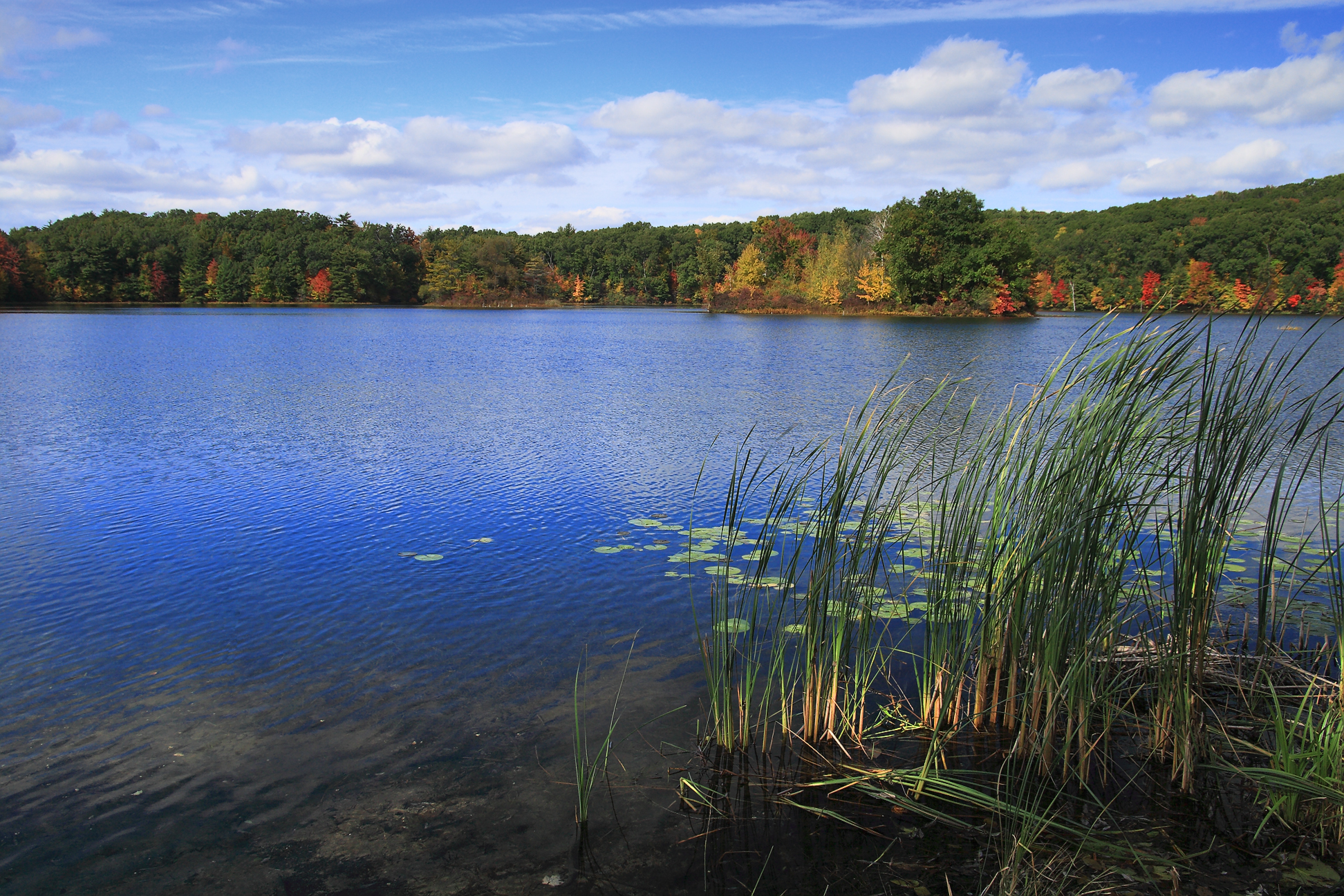
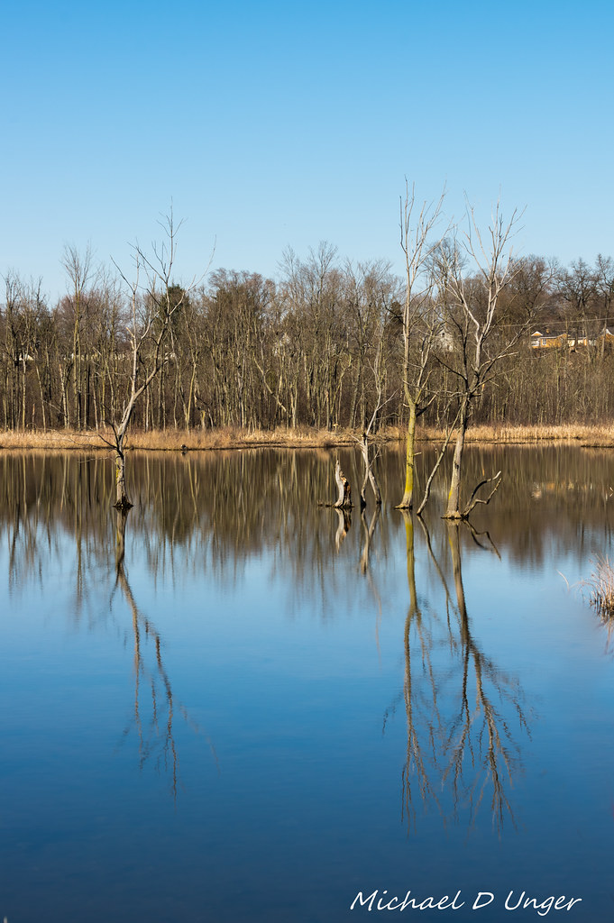
16 lake
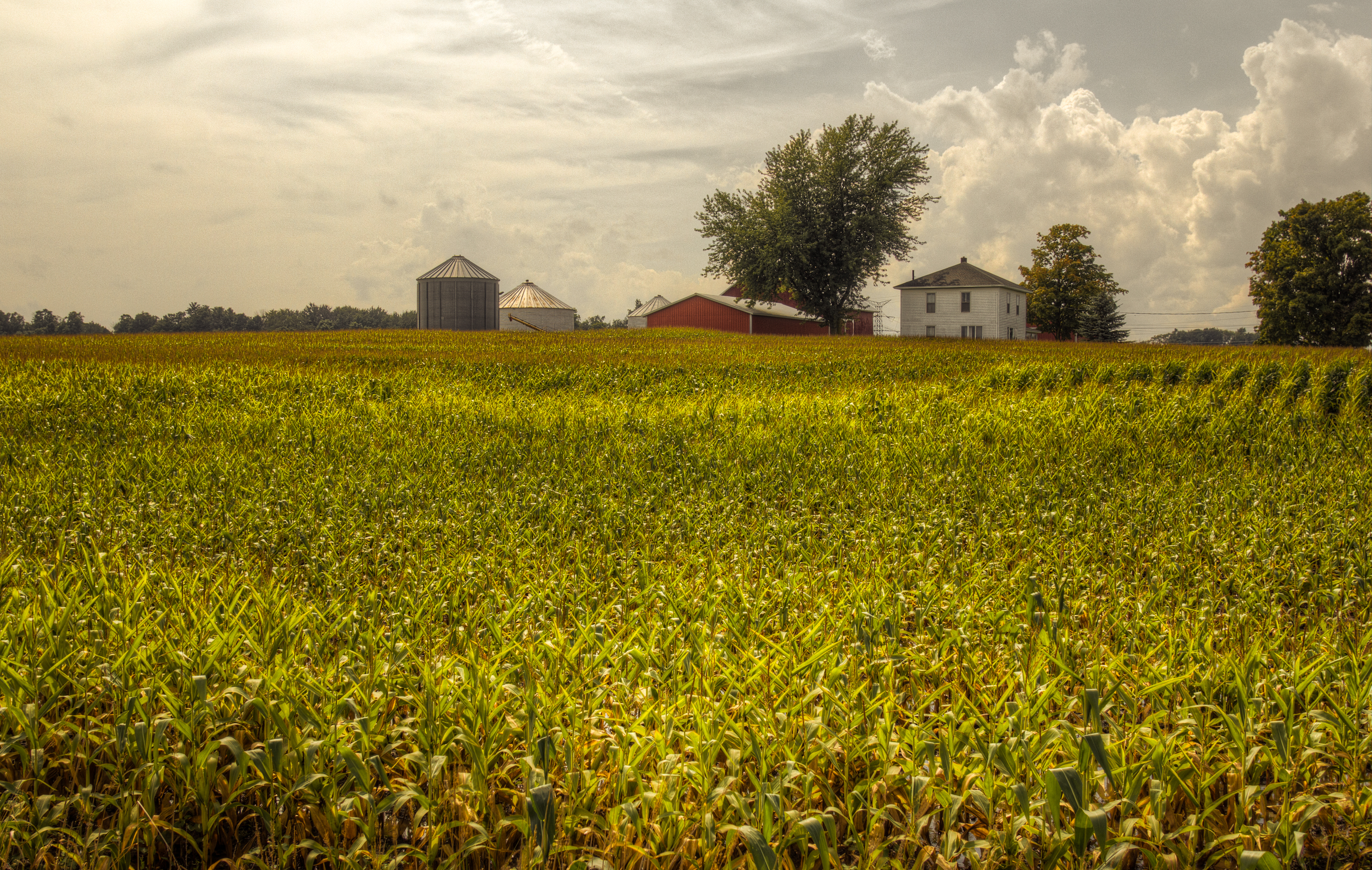
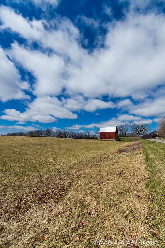
Corn field and farm
Just another beautiful fall day in Michigan....
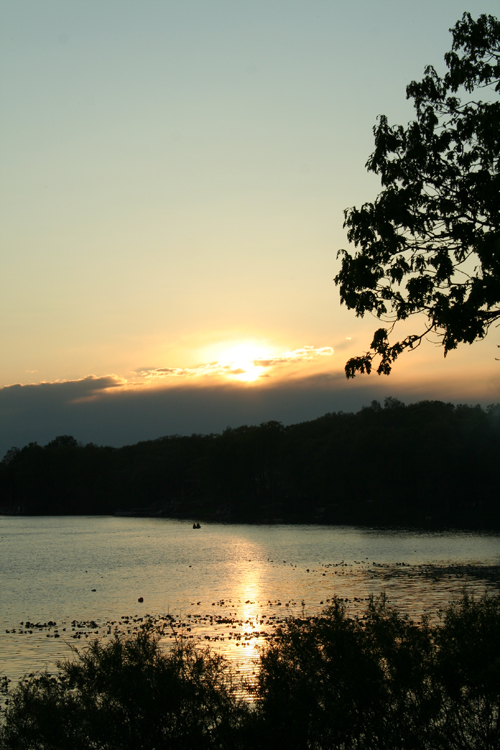
Gun Lake Morn

Caledonia Farms-2016-9.jpg
20150502-DSC02959.jpg
My Michigan
bay pointe shore
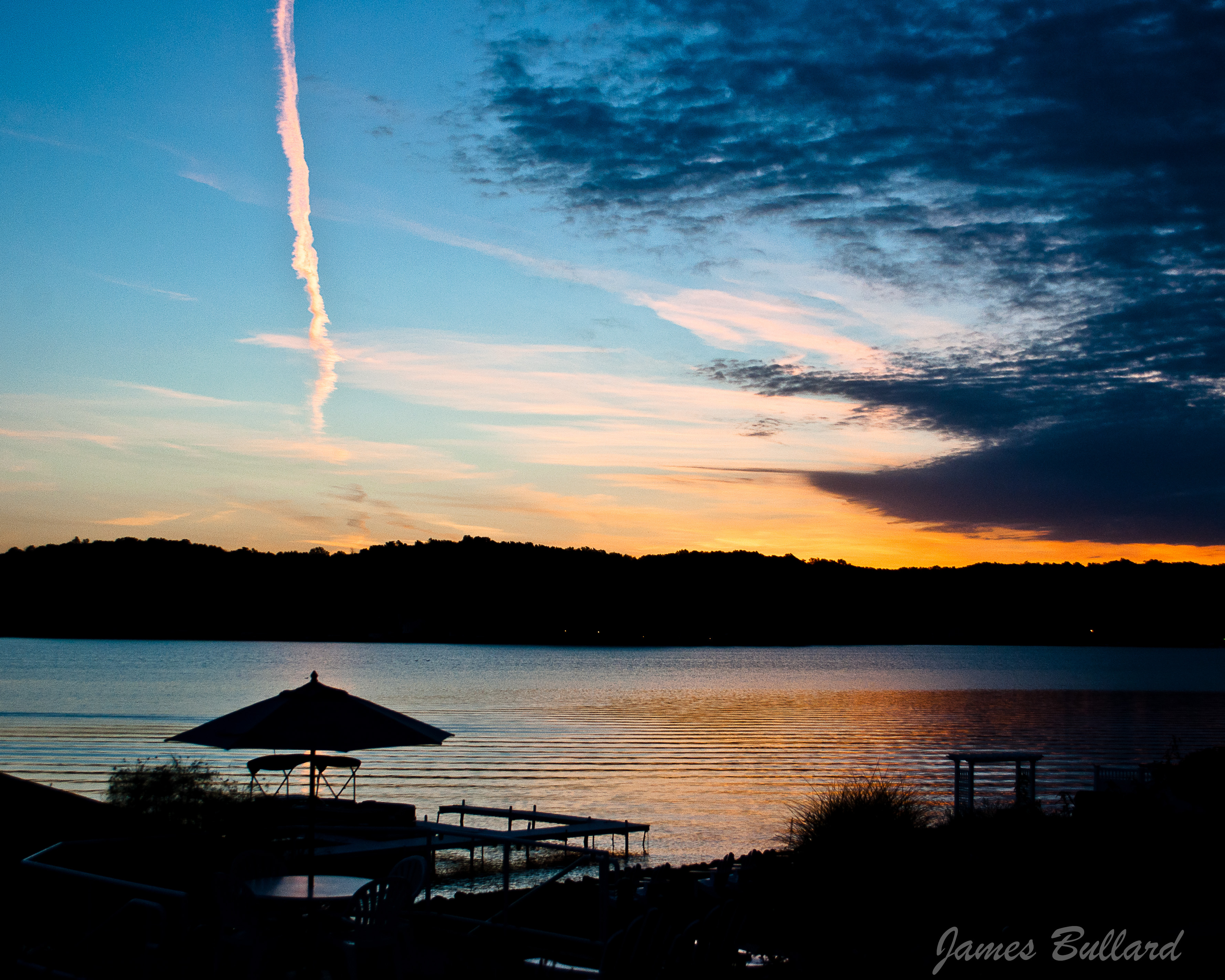
Gun Lake Sunrise
Tall Gass
Caledonia Farms-2016-8.jpg

Middleville Mill Pond-2016-4.jpg
The Long Lost Dock
Middleville Mill Pond-2016-9.jpg
Topographic Map of Green Meadows Dr, Middleville, MI, USA
Find elevation by address:

Places near Green Meadows Dr, Middleville, MI, USA:
Harkema Automotive And Trailer Sales
Middleville
Thornapple Township
1637 N Payne Lake Rd
Yankee Springs Township
9320 Ravine Ridge Dr Se
Caledonia
Irving Township
Caledonia Township
Wayland Township
Kalamazoo Ave, Caledonia, MI, USA
Bay Pointe Inn
68th St SE, Caledonia, MI, USA
Wedgemont Court Southeast
2505 Murphy Dr
Stewart Lake
Leighton Township
Orangeville Township
Algonquin Lake
6191 Kraft Ave Se
Recent Searches:
- Elevation of Cavendish Rd, Harringay Ladder, London N4 1RR, UK
- Elevation of 1 Zion Park Blvd, Springdale, UT, USA
- Elevation of Ganderbal
- Elevation map of Konkan Division, Maharashtra, India
- Elevation of Netaji Nagar, Hallow Pul, Kurla, Mumbai, Maharashtra, India
- Elevation of Uralsk, Kazakhstan
- Elevation of 45- Kahana Dr, Honokaa, HI, USA
- Elevation of New Mexico 30, NM-30, Española, NM, USA
- Elevation of Santmyer Way, Charles Town, WV, USA
- Elevation of Riserva Naturale Lago di Montepulciano, Italy