Elevation of Green Meadow Dr, Danville, CA, USA
Location: United States > California > Contra Costa County > Danville >
Longitude: -121.89721
Latitude: 37.8076419
Elevation: 237m / 778feet
Barometric Pressure: 99KPa
Elevation Map:
Satellite Map:
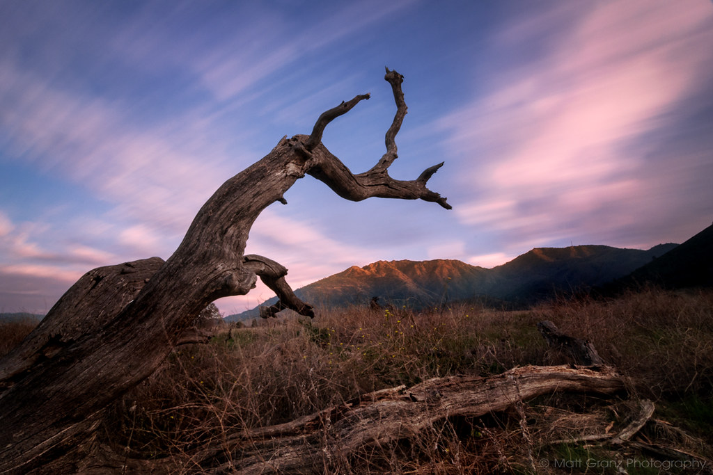
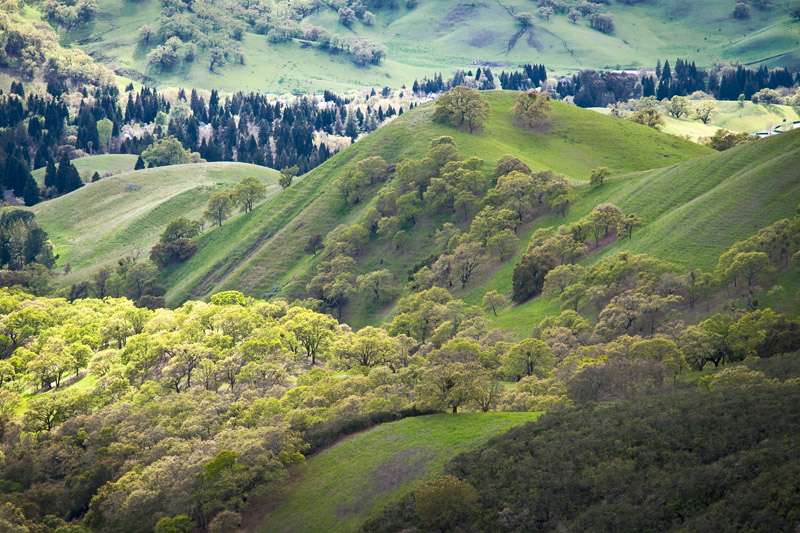
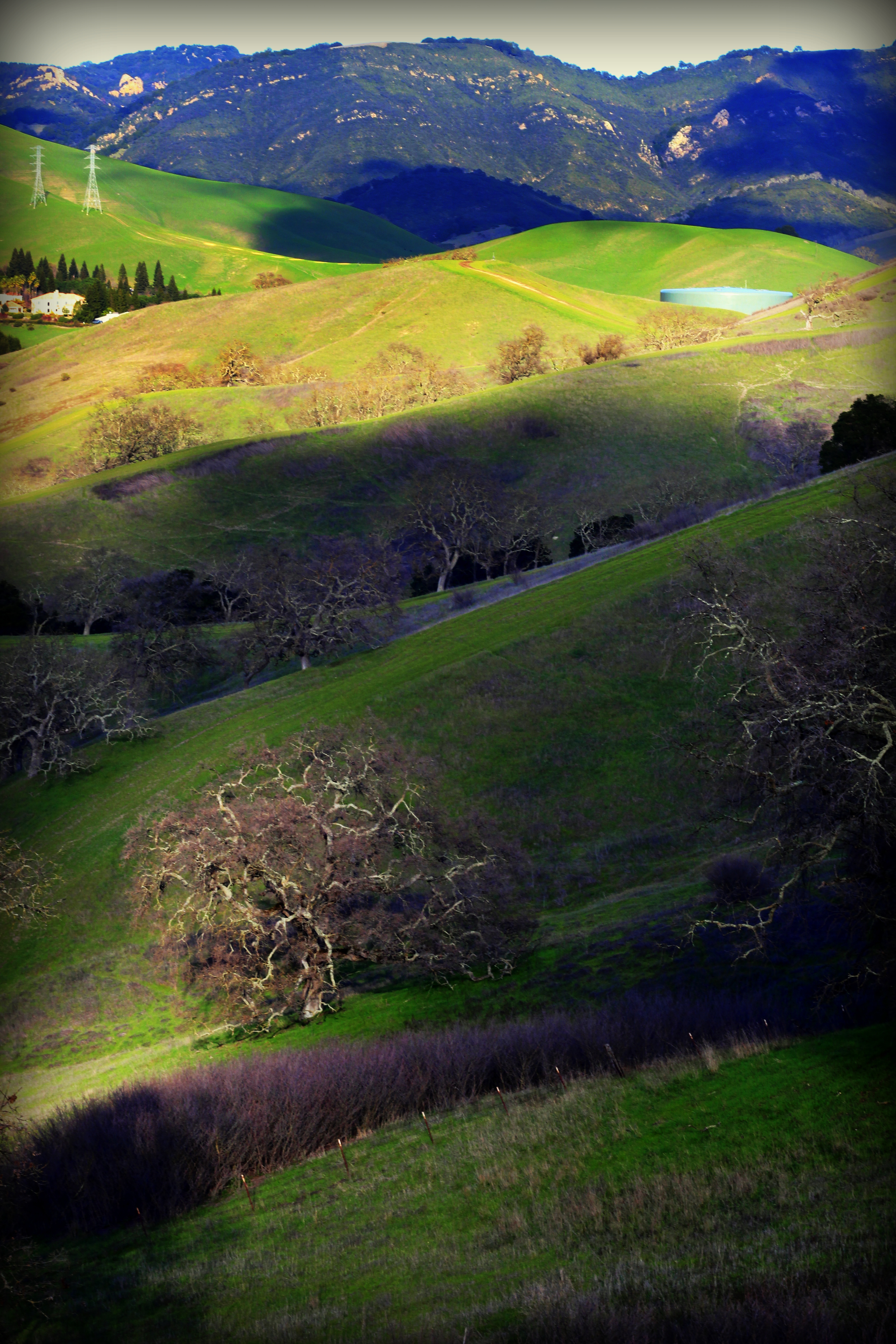
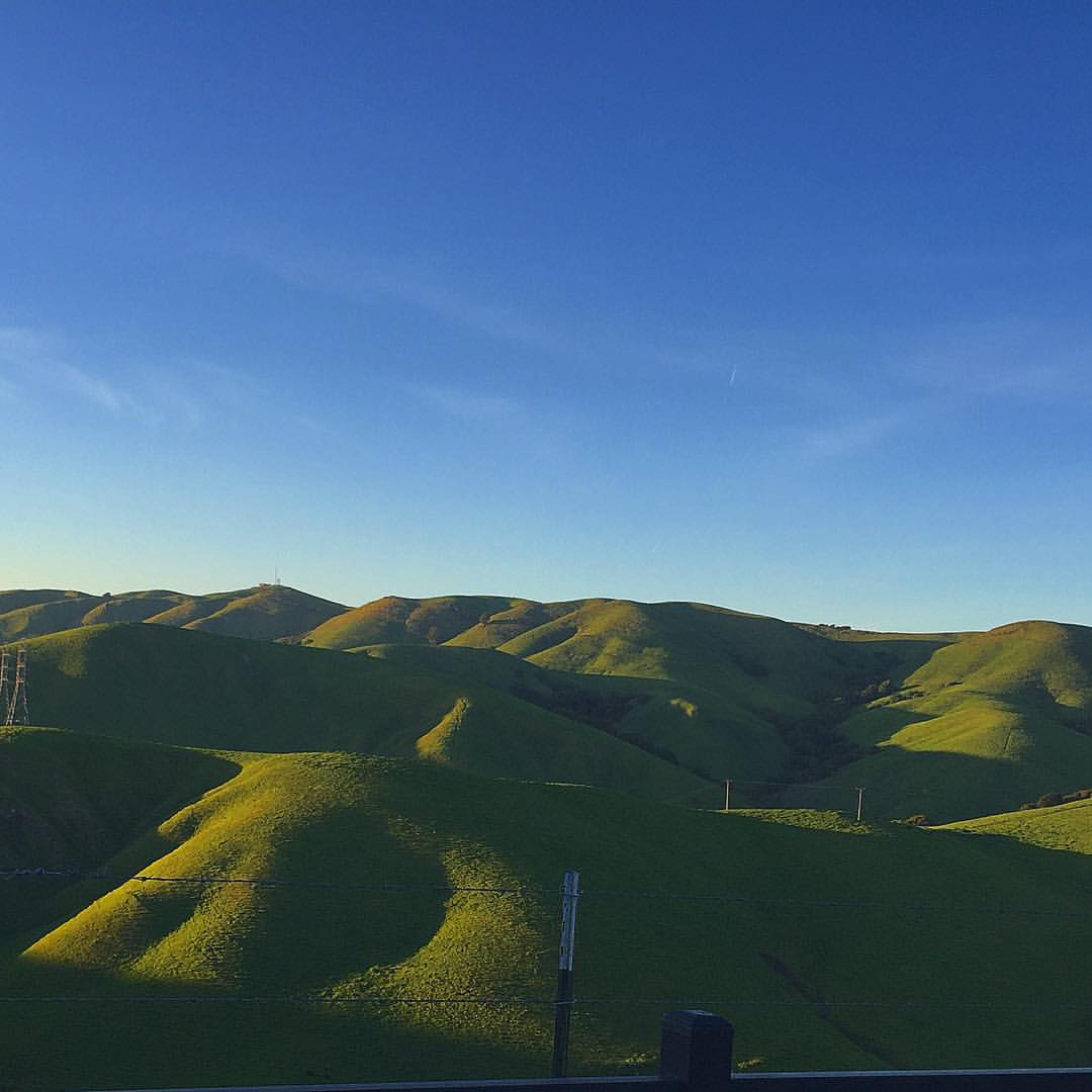
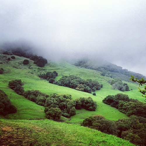
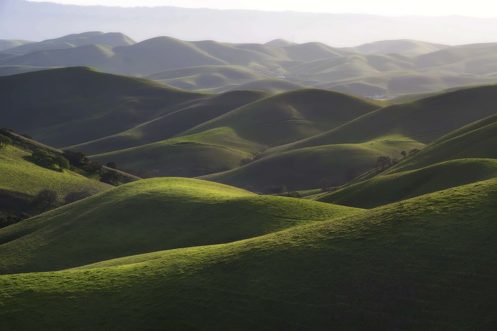
Related Photos:
Green Flash

Giddy-Up!

Asters in the Lights
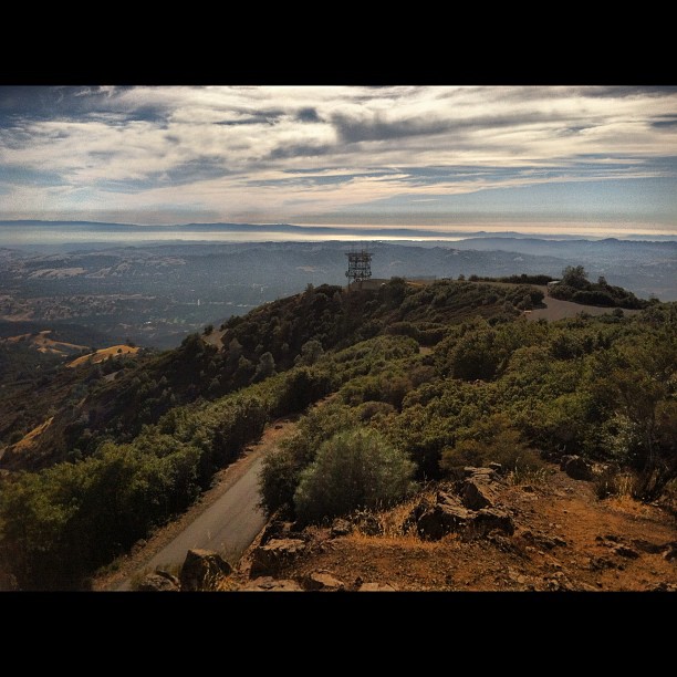
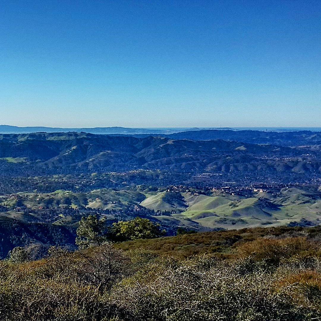
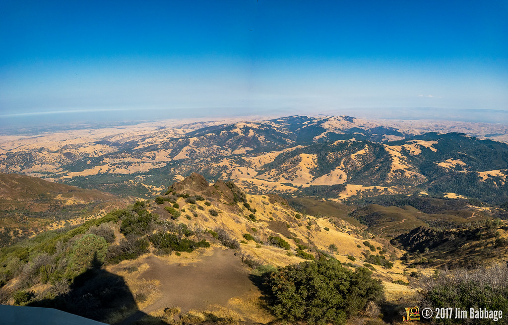
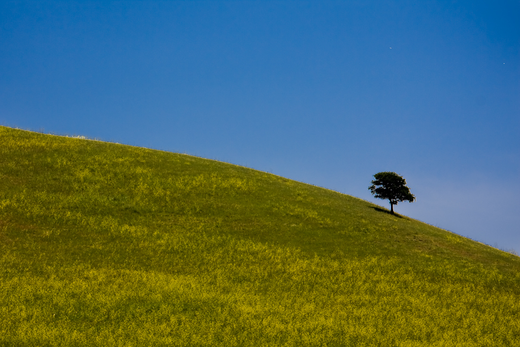
Mt. Diablo to the SF Bay. Awesome view.

Rose 'Cherry Parfait' #2

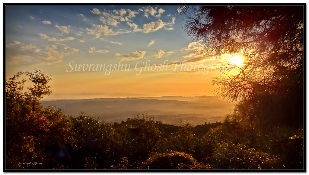
Sunset view from Ohlone Trail
Mount Diablo Foothills
Mount Diablo views

Rose 'Sedona' Dedicated to my dear friend Sue!

'Bewitched' is bewitching
#2016 here I come with my first #freezing #mtdiablosummit #bikeride. Some spots still have snow at the top but not as much as last week. #Beautiful #view overlooking #danville #walnutcreek and #concord Overall over 4700 ft of climbing and 45 miles were
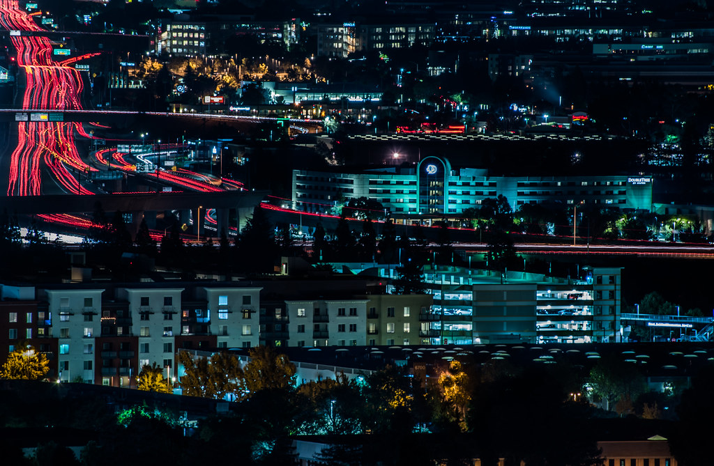
the doubletree

Rose 'Sweetness'
The golden sunset
Singing the Blues
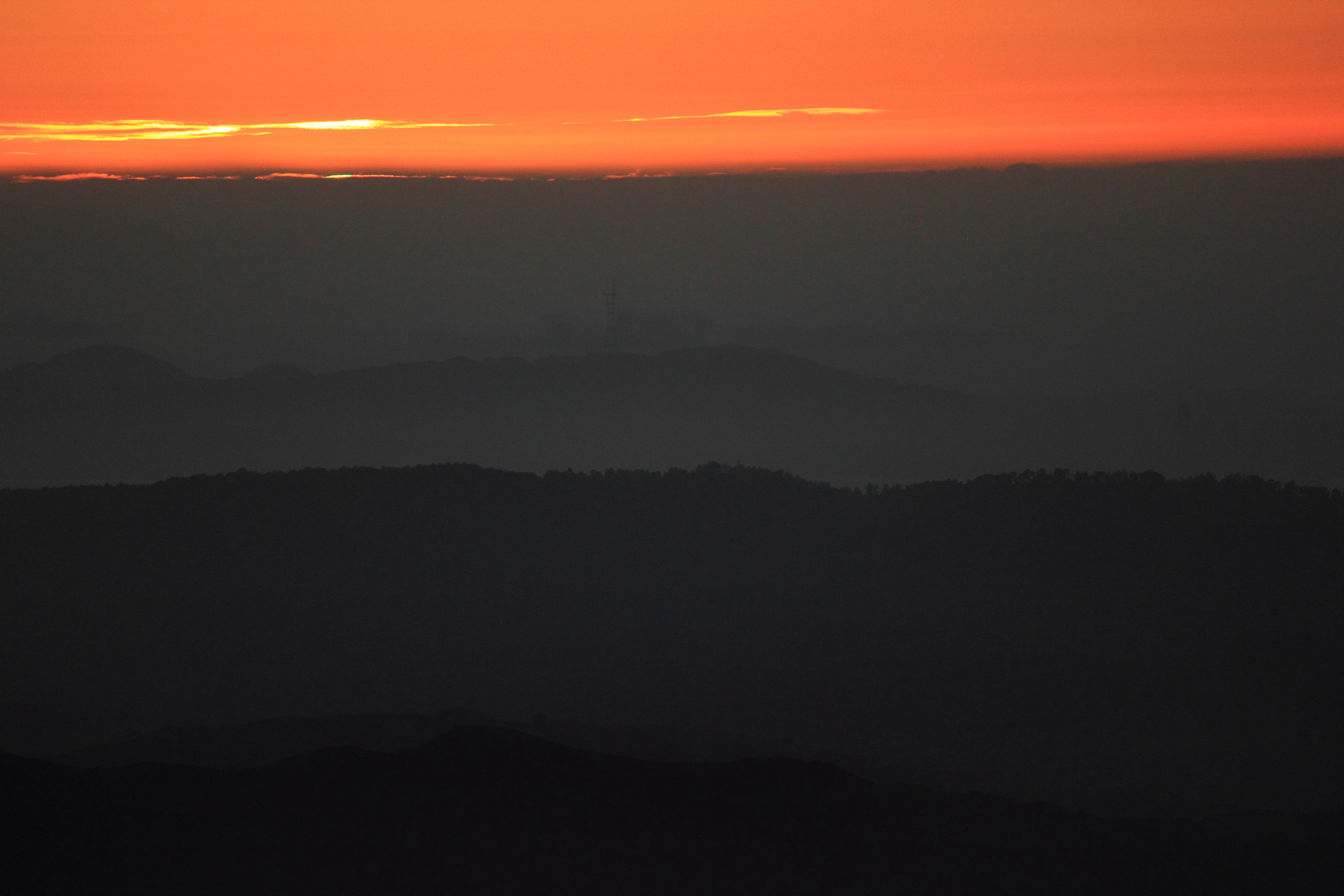
Mt. Diablo Sunset
After the Rains
#cloud #sky #blue #circular #circle #sun #nature #view #scenery

Mt Diablo Fisheye View

Night View of Tri-Valley
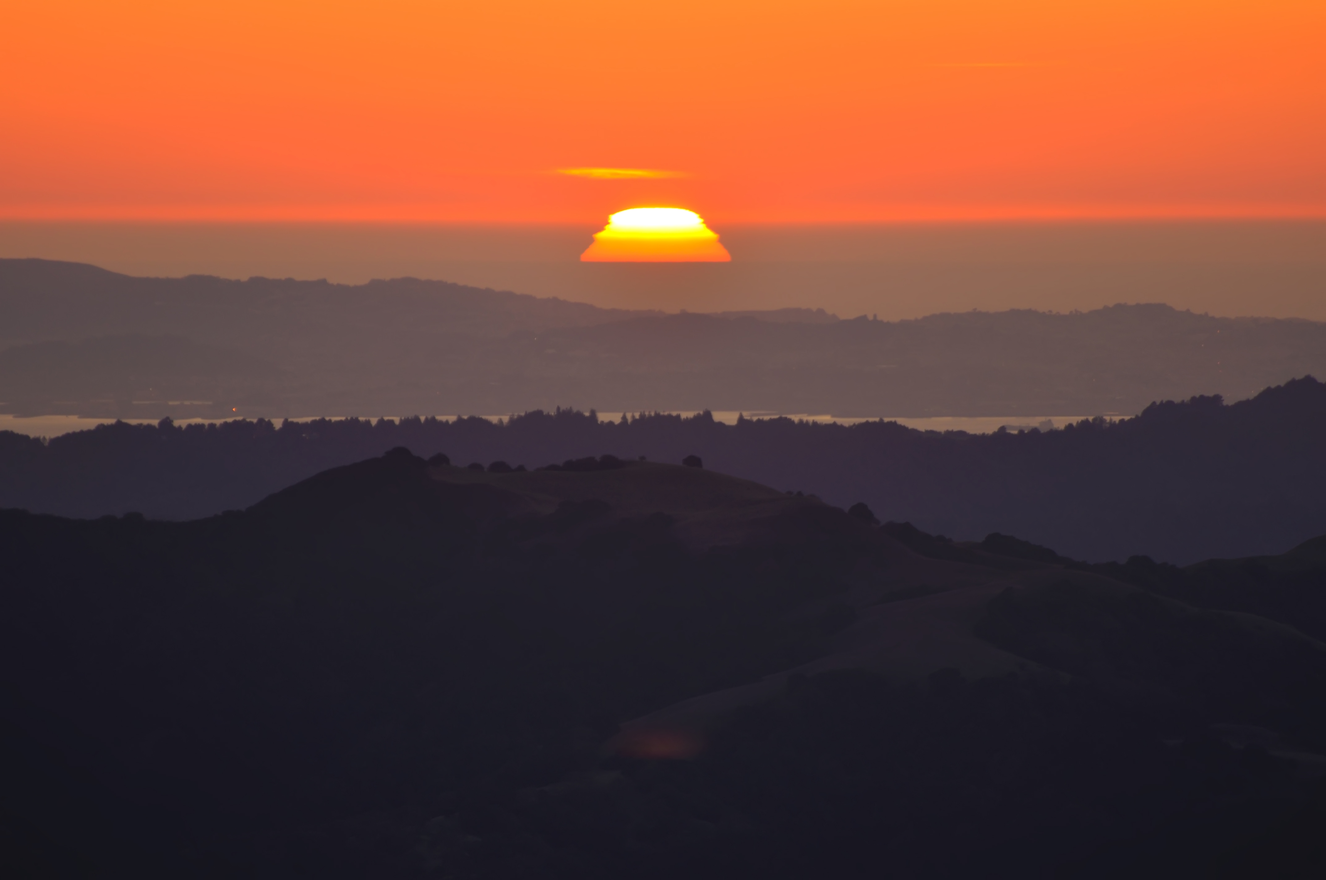
Sunset from Mount Diablo
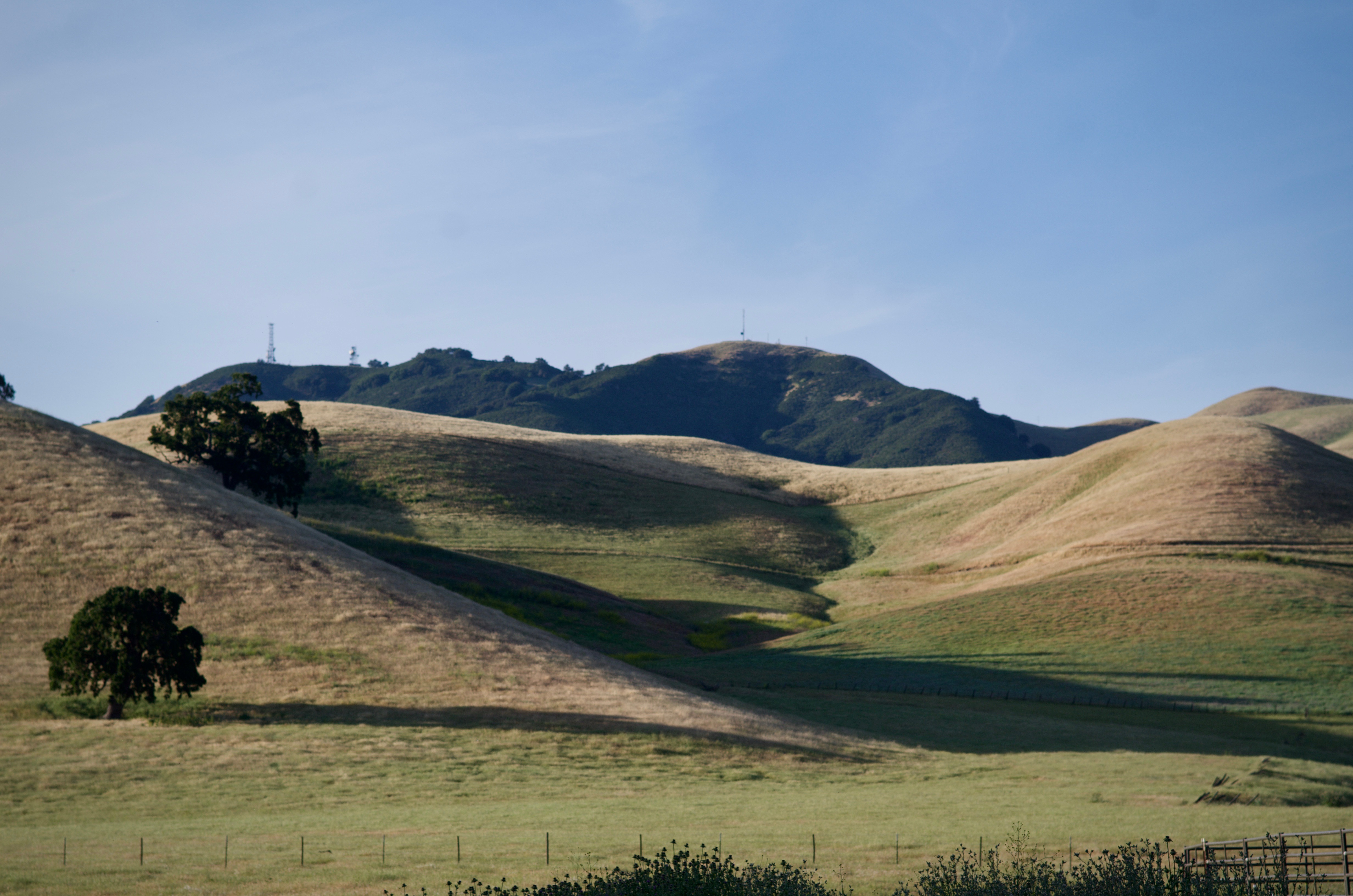
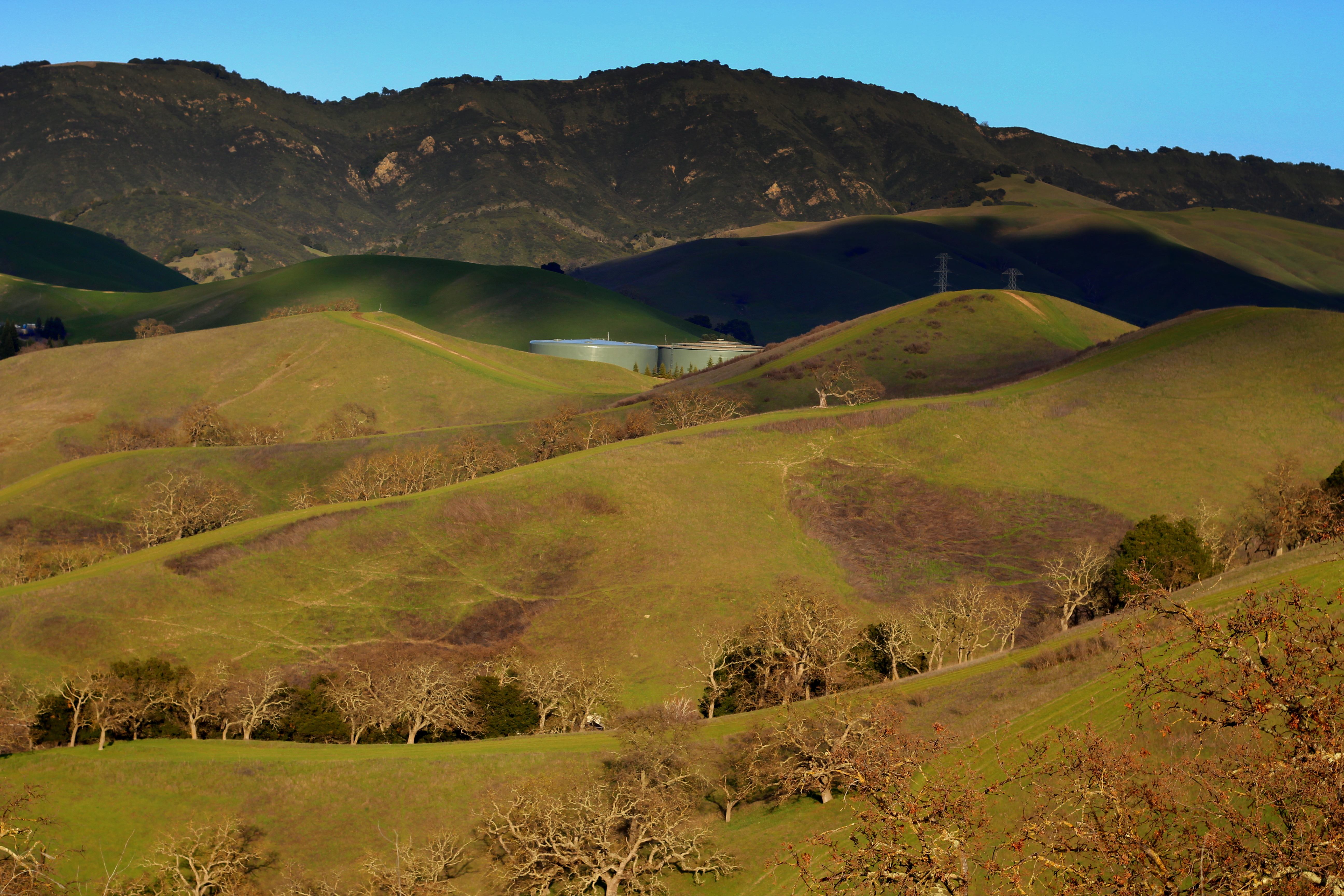
Diablo Hills

Secret Hill
Reinstein Ranch
APC_1146-hdr-Pano.jpg
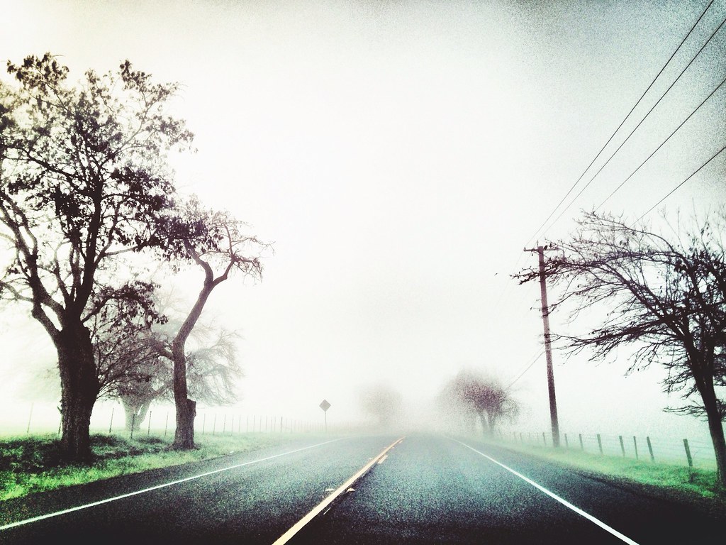
Foggy Road, Livermore

Mt Diablo
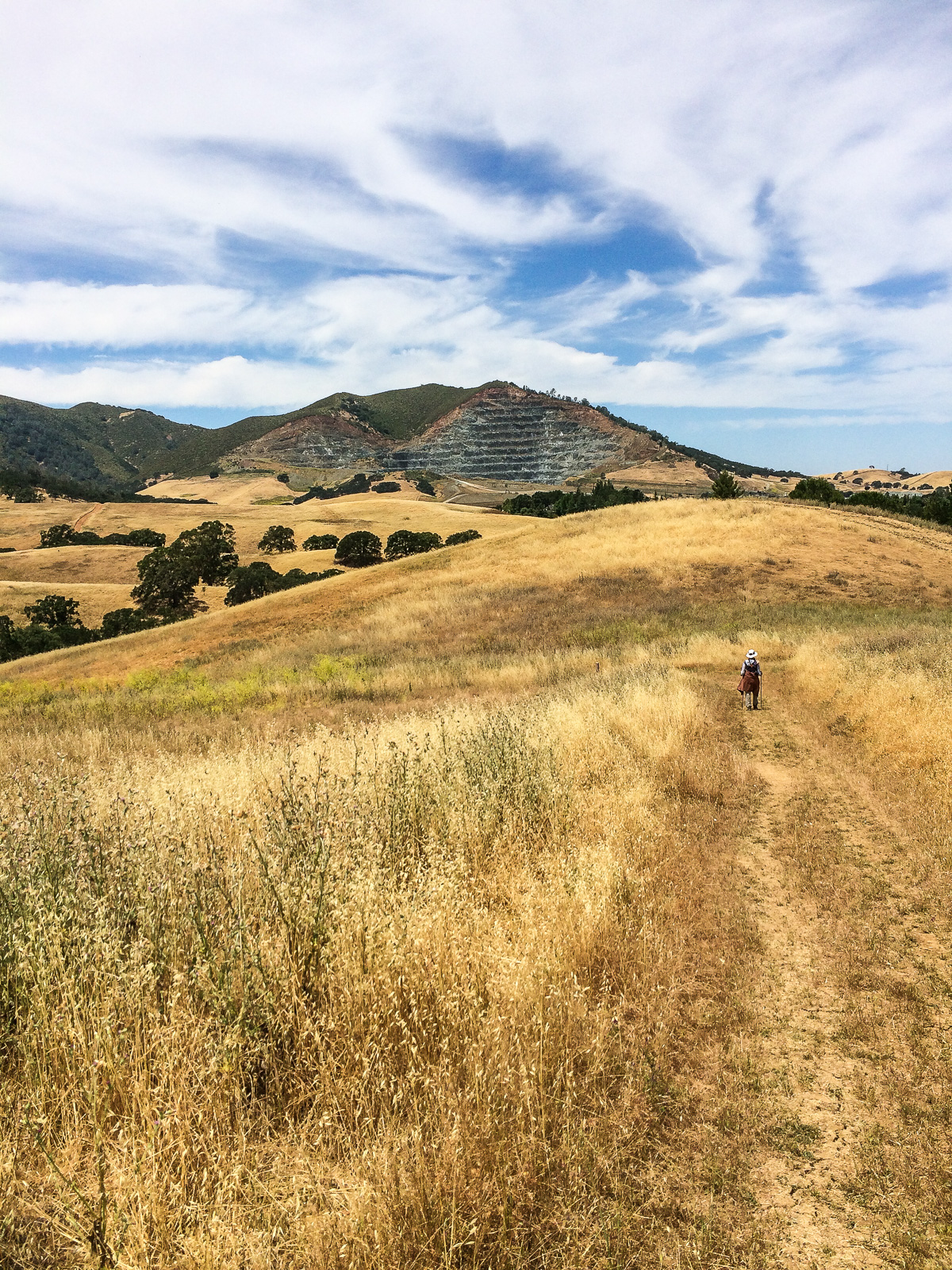
Mountain partially skinned (Mt Zion mine)
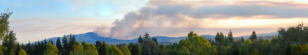
the morgan hill fire monday morning september 9th
Nature with a nice trail n a twist of instragram!
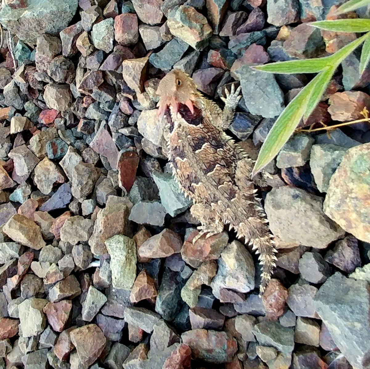
Pacific Horned Lizard
Goodbye Stormy Skies

spring all the way
Something about these hills...remind me of Shrek.
Th fog was rolling in quick!

Las Trampas
Morgan Territory Road, Livermore, California
It is always worth it
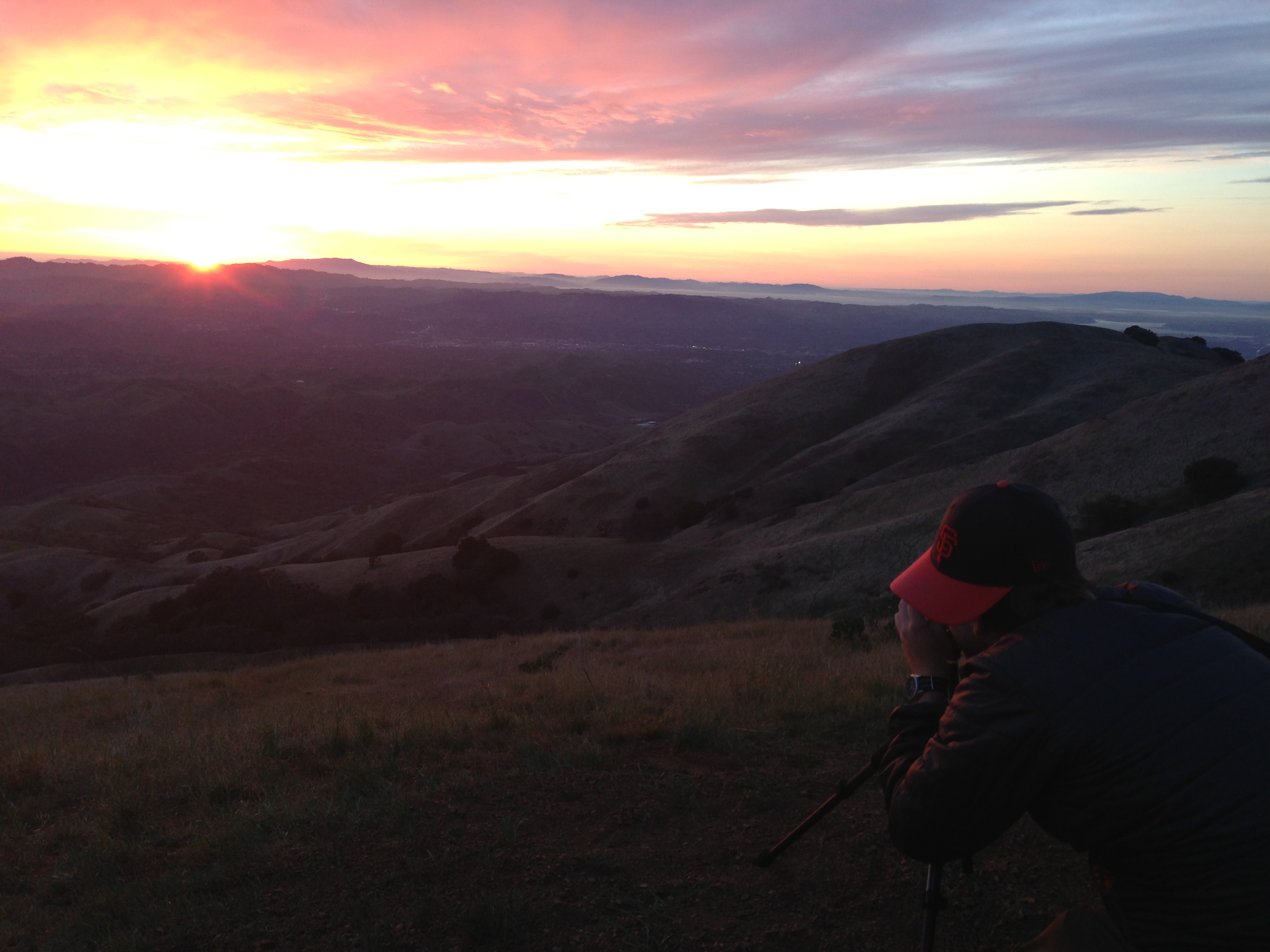
photo.JPG
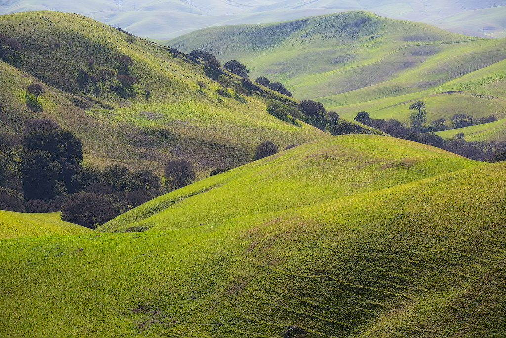
Oceans of Green
Topographic Map of Green Meadow Dr, Danville, CA, USA
Find elevation by address:

Places near Green Meadow Dr, Danville, CA, USA:
4198 Rockcreek Ct
Eagle Ridge Dr, Danville, CA, USA
75 Haskins Ranch Cir
Humphrey Jonathan B C
3897 Blackhawk Rd
Country Ln, Pleasanton, CA, USA
5600 Bruce Dr
5525 Old School Rd
Contra Costa County
Rock City Park
Summit Trail Trailhead
350 Castenada Ct
Alameda Diablo, Diablo, CA, USA
1231 Dutch Mill Dr
Mount Diablo State Park
Mount Diablo
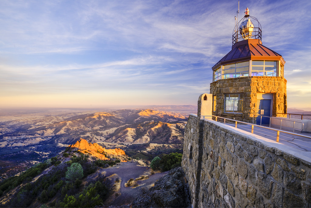
Mount Diablo Summit Museum
149 Plaza Cir
7 Country Oak Ln
Juniper Campground
Recent Searches:
- Elevation of Gateway Blvd SE, Canton, OH, USA
- Elevation of East W.T. Harris Boulevard, E W.T. Harris Blvd, Charlotte, NC, USA
- Elevation of West Sugar Creek, Charlotte, NC, USA
- Elevation of Wayland, NY, USA
- Elevation of Steadfast Ct, Daphne, AL, USA
- Elevation of Lagasgasan, X+CQH, Tiaong, Quezon, Philippines
- Elevation of Rojo Ct, Atascadero, CA, USA
- Elevation of Flagstaff Drive, Flagstaff Dr, North Carolina, USA
- Elevation of Avery Ln, Lakeland, FL, USA
- Elevation of Woolwine, VA, USA