Elevation of Green Ln, Belleville, PA, USA
Location: United States > Pennsylvania > Mifflin County > Brown Township >
Longitude: -77.668680
Latitude: 40.6470633
Elevation: 255m / 837feet
Barometric Pressure: 98KPa
Elevation Map:
Satellite Map:
Related Photos:

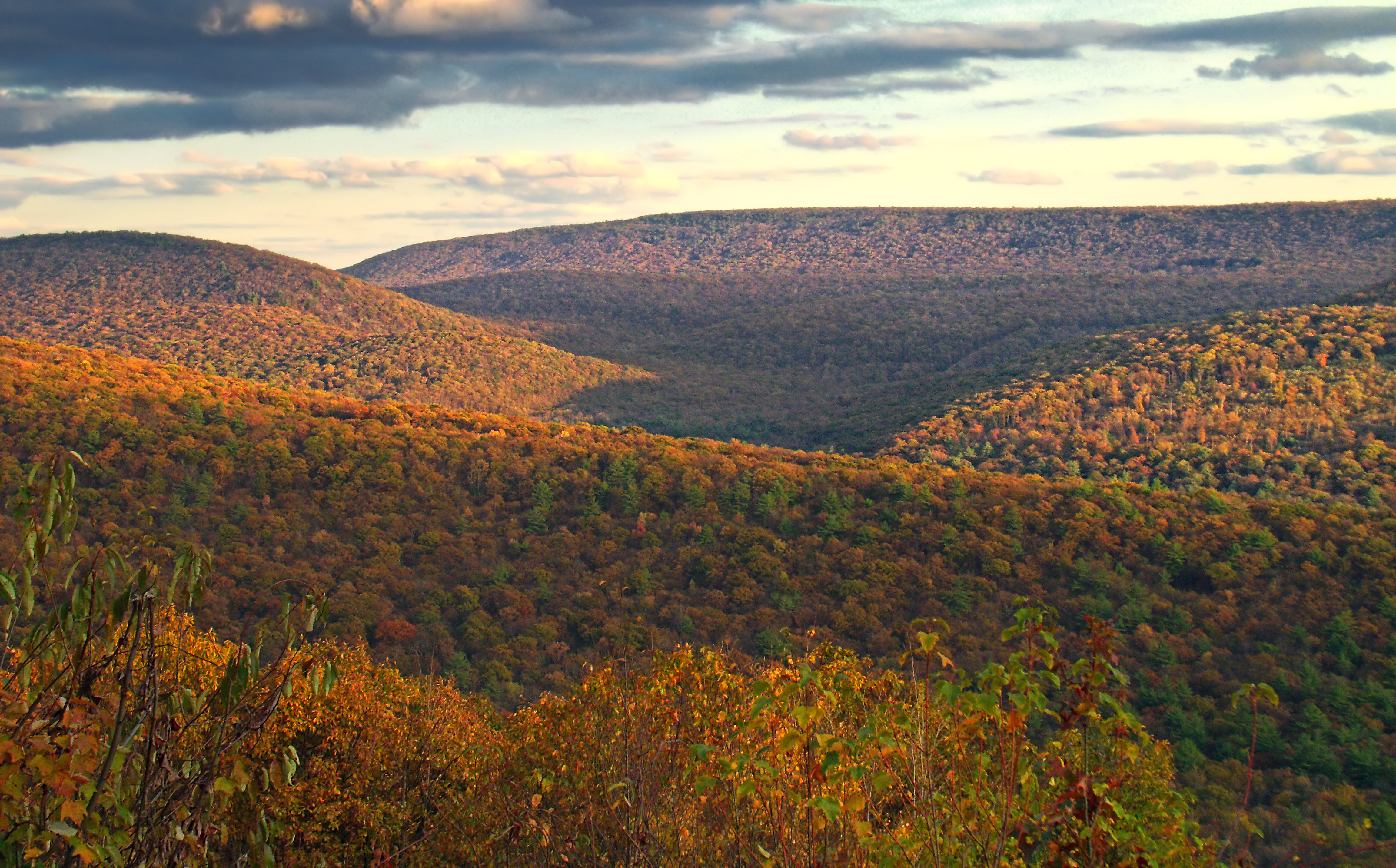
Clearing Skies over Kish Valley

View upstream from the Stone Arch Bridge
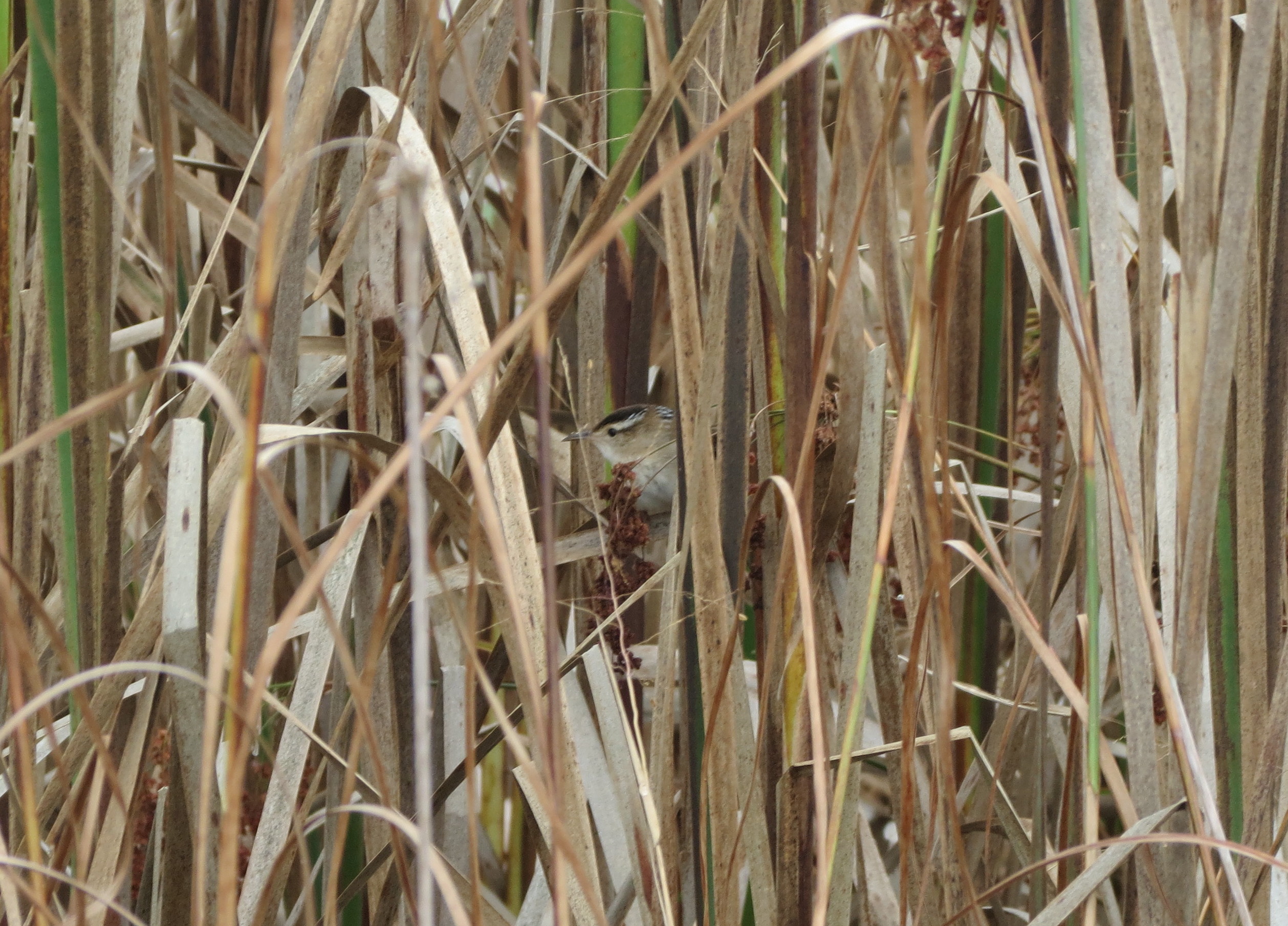
Marsh Wren
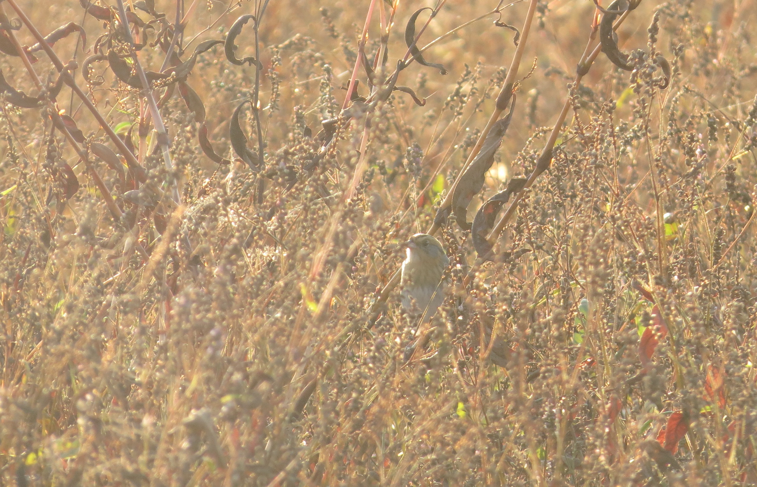
Nelson's Sparrow
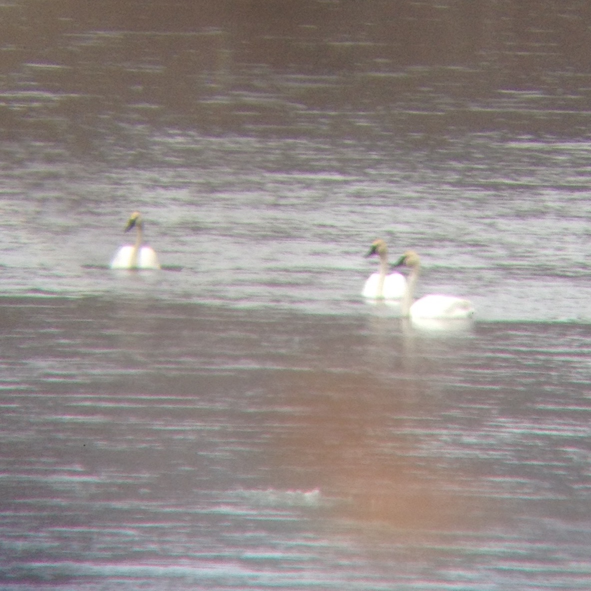
eBird Doc Shot: Trumpeter Swans

Detweiler Run Natural Area (Revisited) (2)
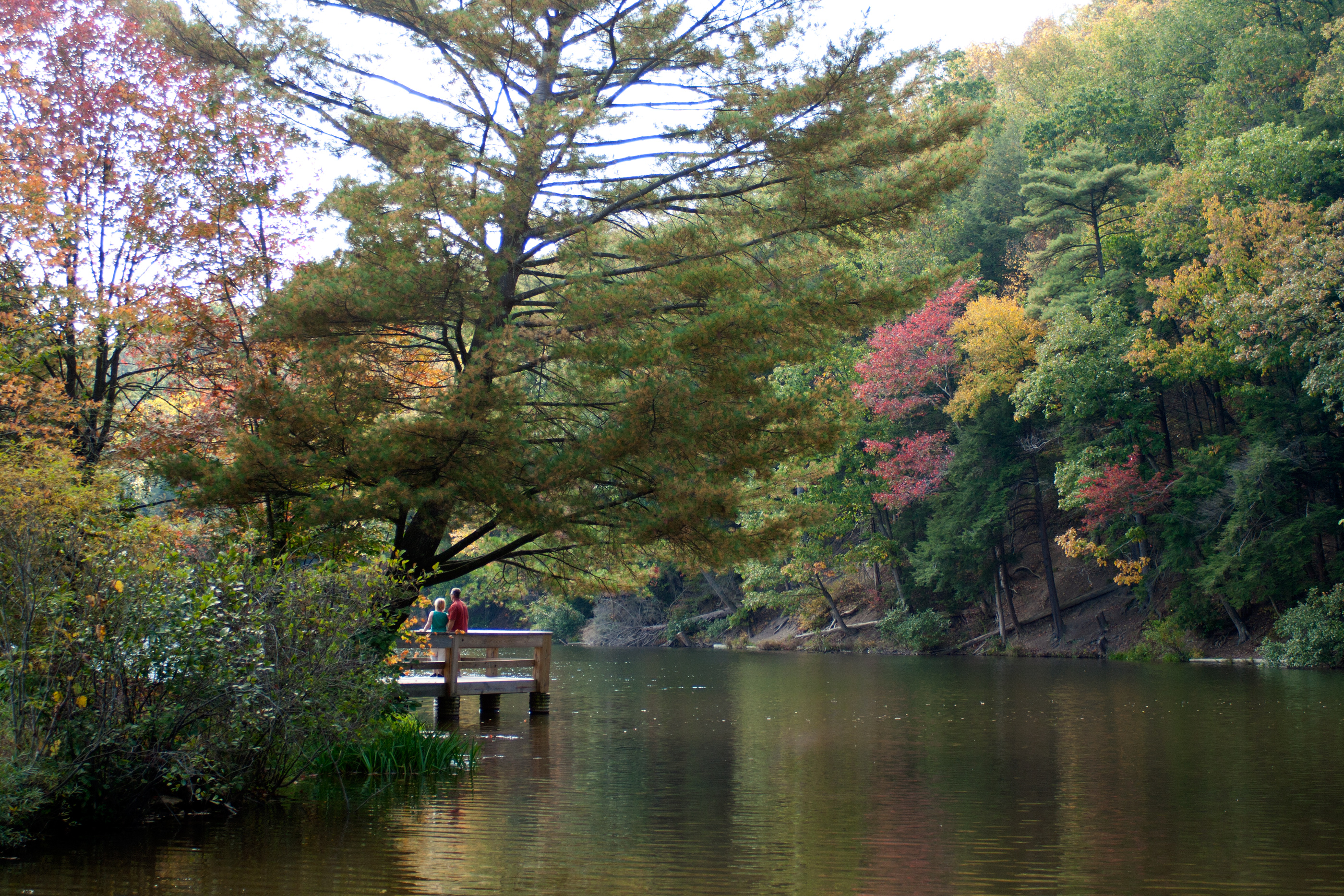
A couple enjoy the view of the lake at Greenwood Furnace State Park, Pennsylvania.
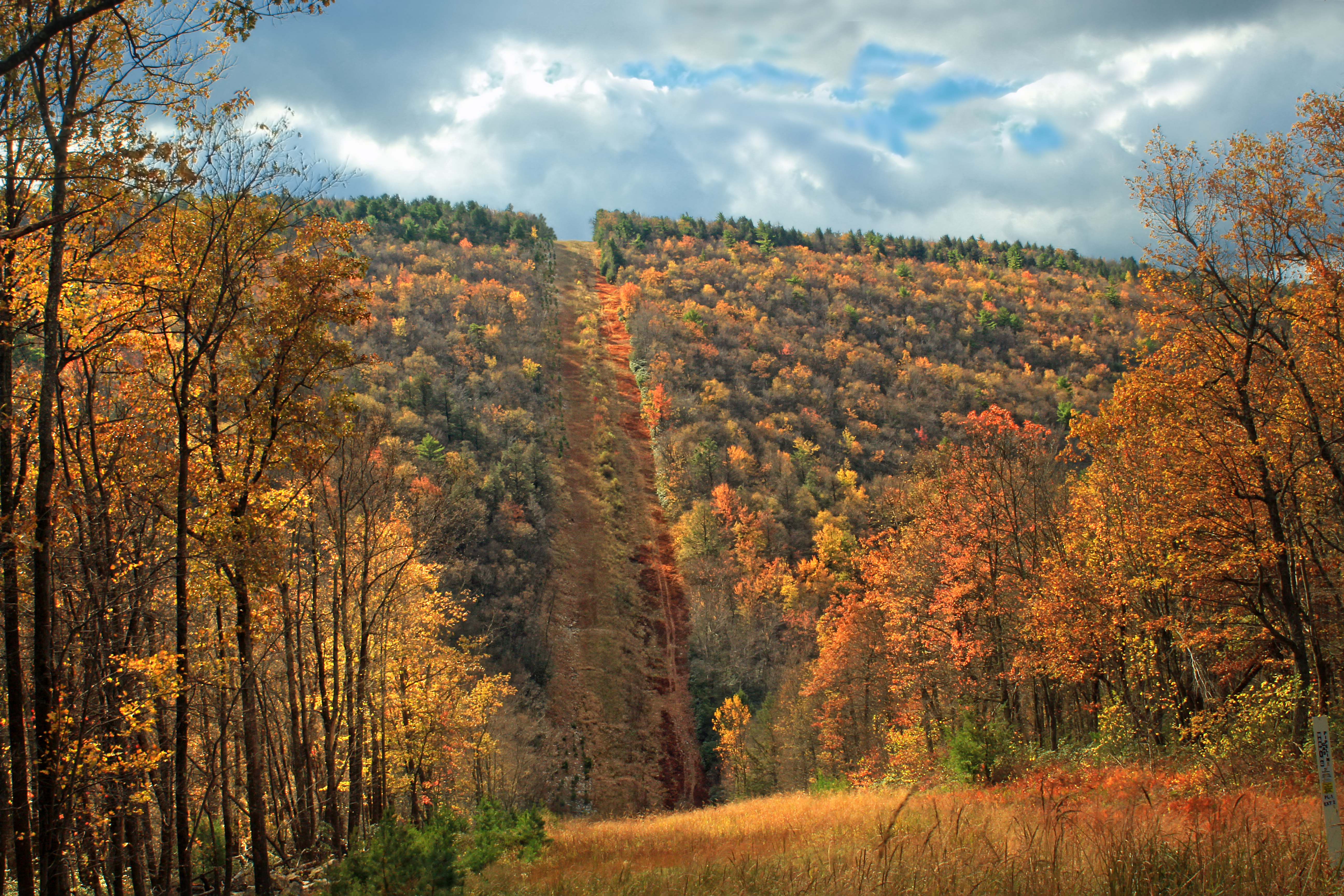
Wampler Road Vista (1)
Back to you Jim...
Detweiler Run Natural Area (Revisited) (4)
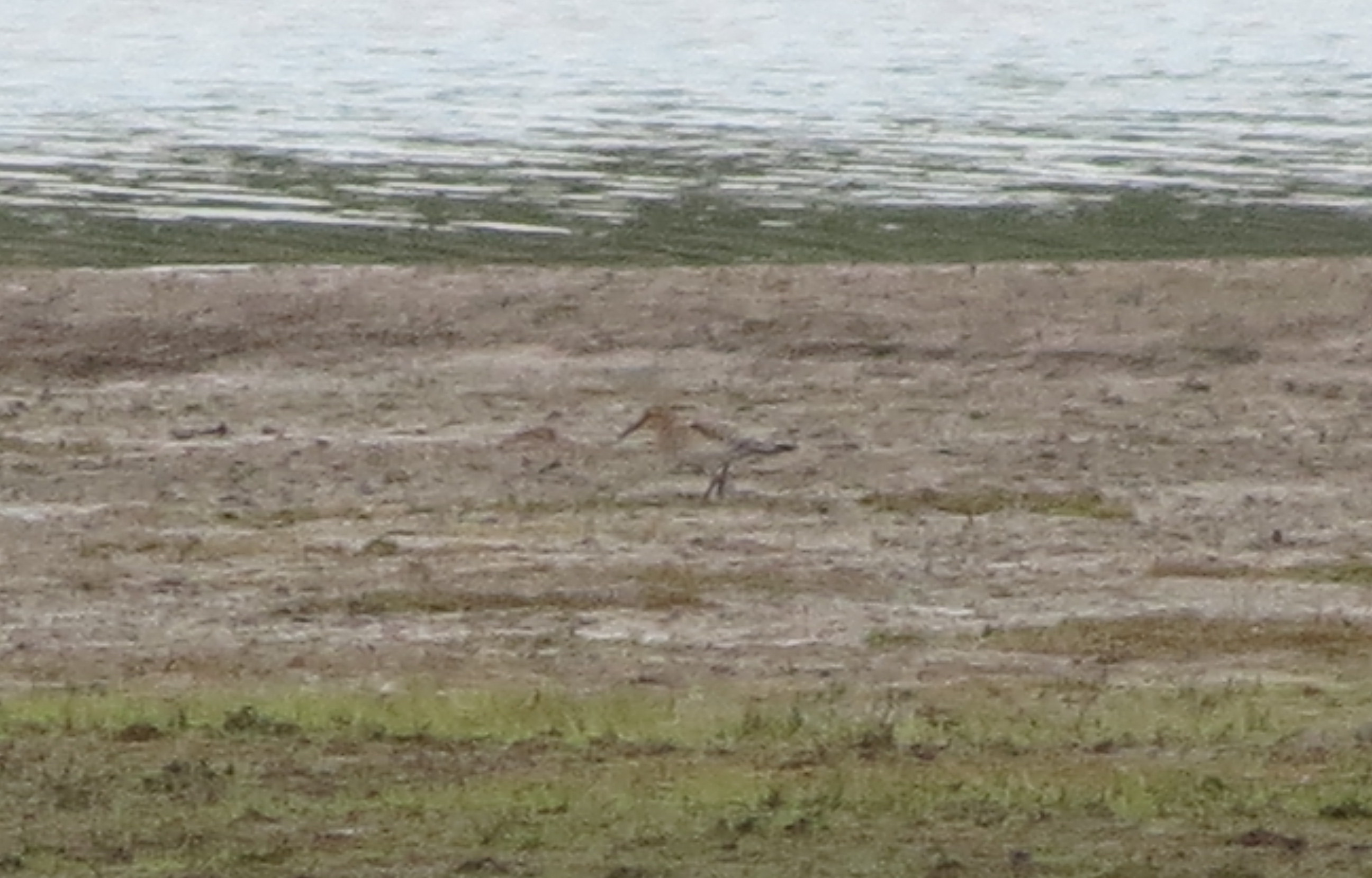
eBird Doc Shot: Baird's Sandpiper
Wampler Road Vista (2)
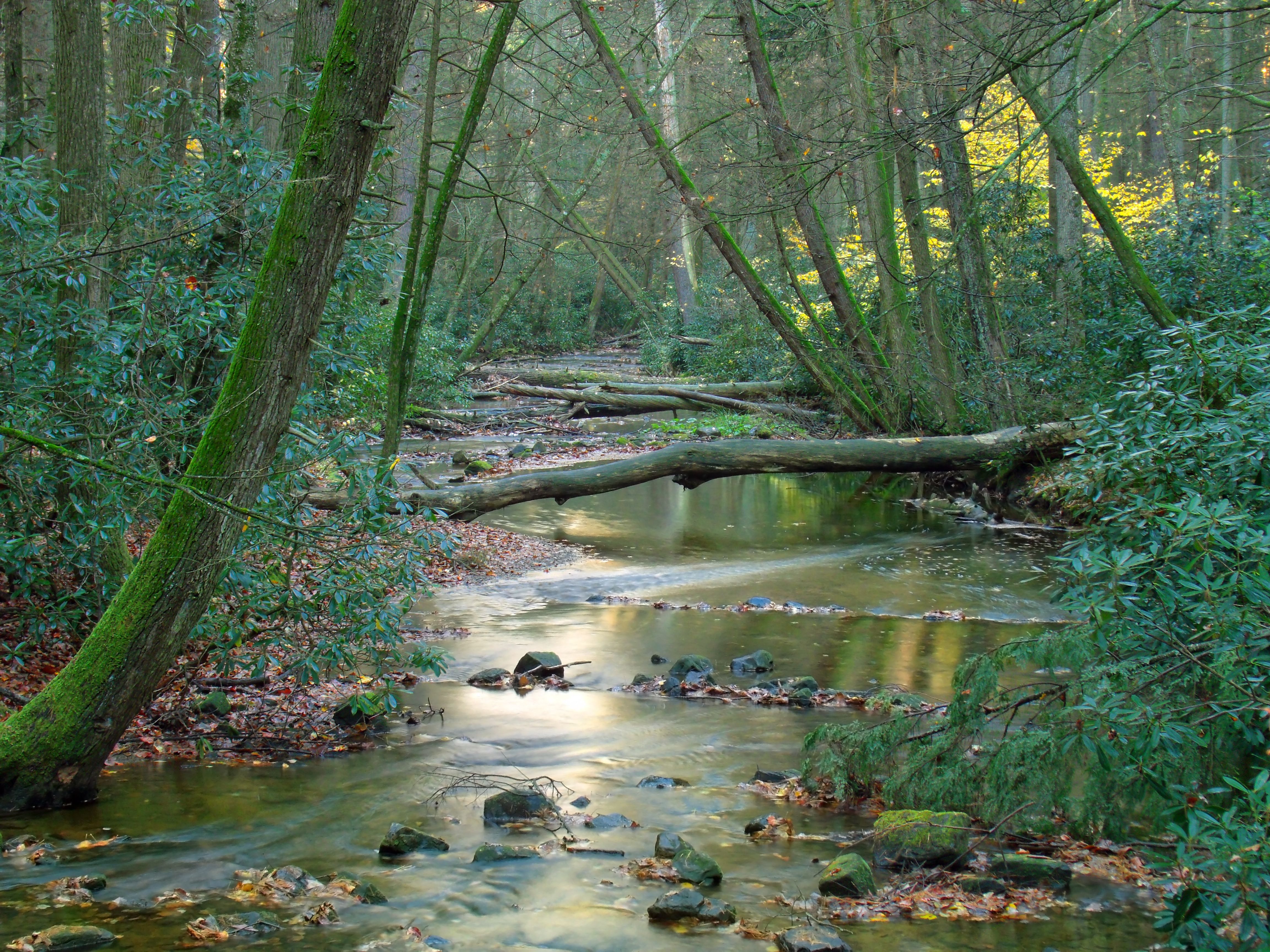
Detweiler Run Natural Area (Revisited) (3)
A view from the highest point on the Tussey Mt. Trail.
Silver-spotted Skipper
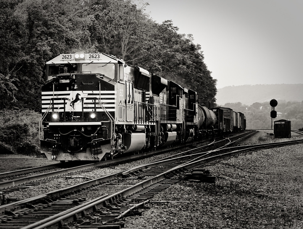
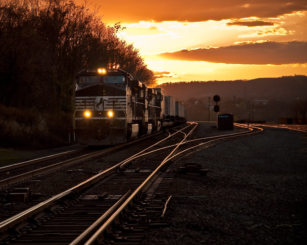
Lewistown Junction, PA
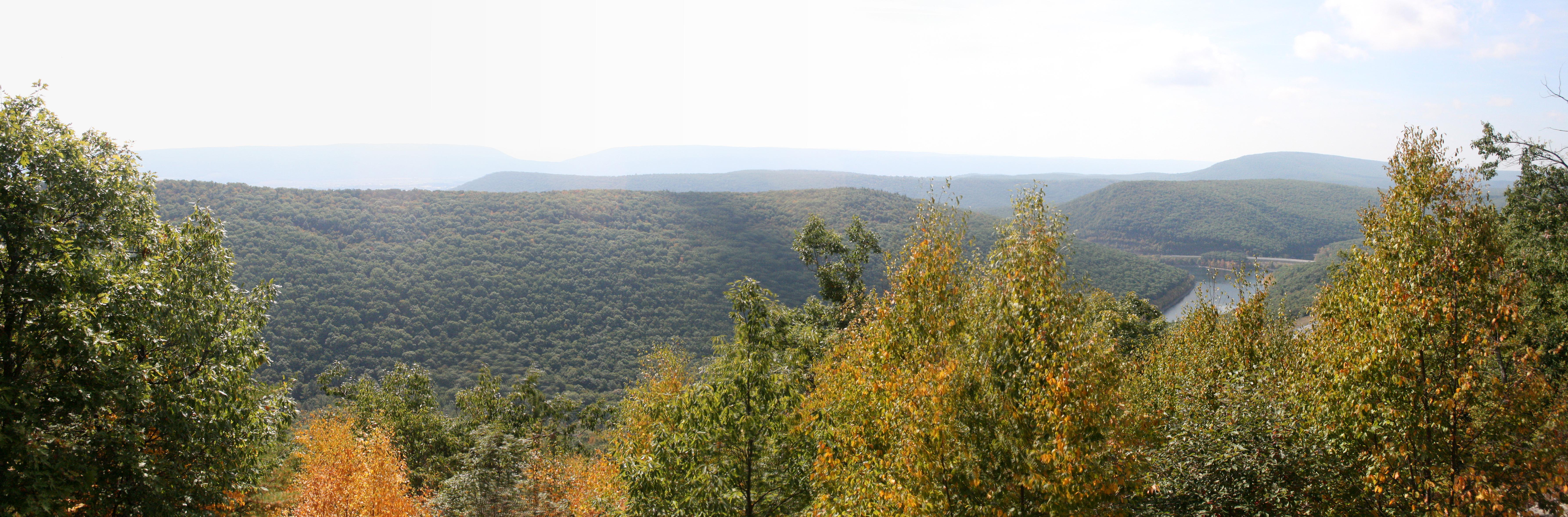
7 Mountains Overlook
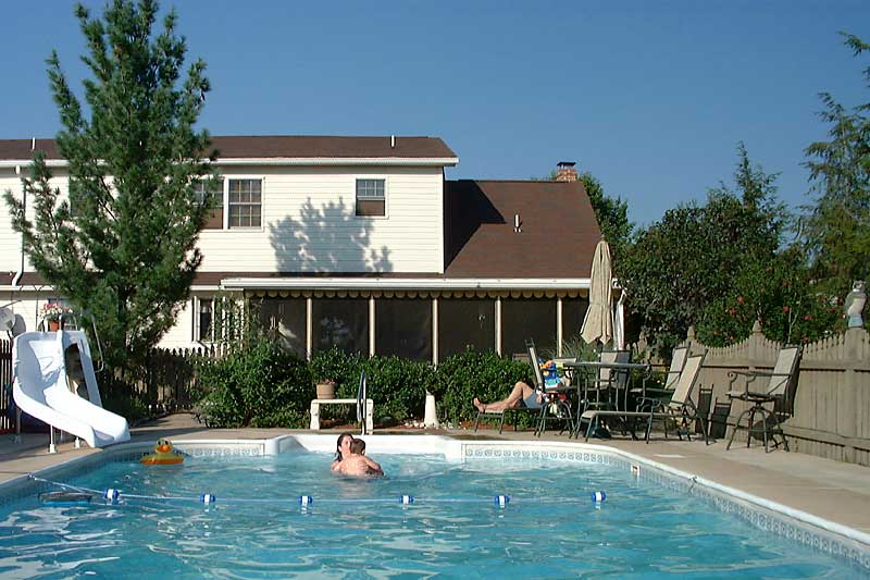
Summer Swimming
Rear View
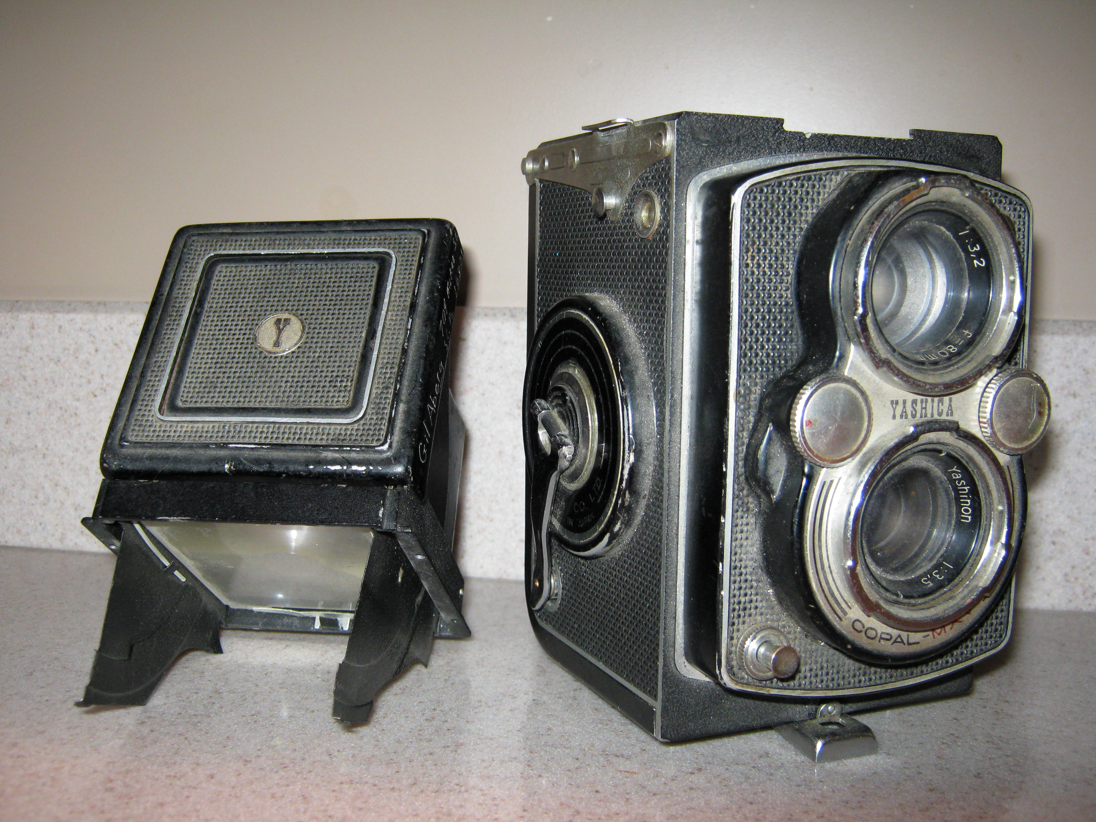
Yashica Mat EM
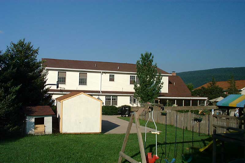
Backyard in summer

Hall of the Mountain King

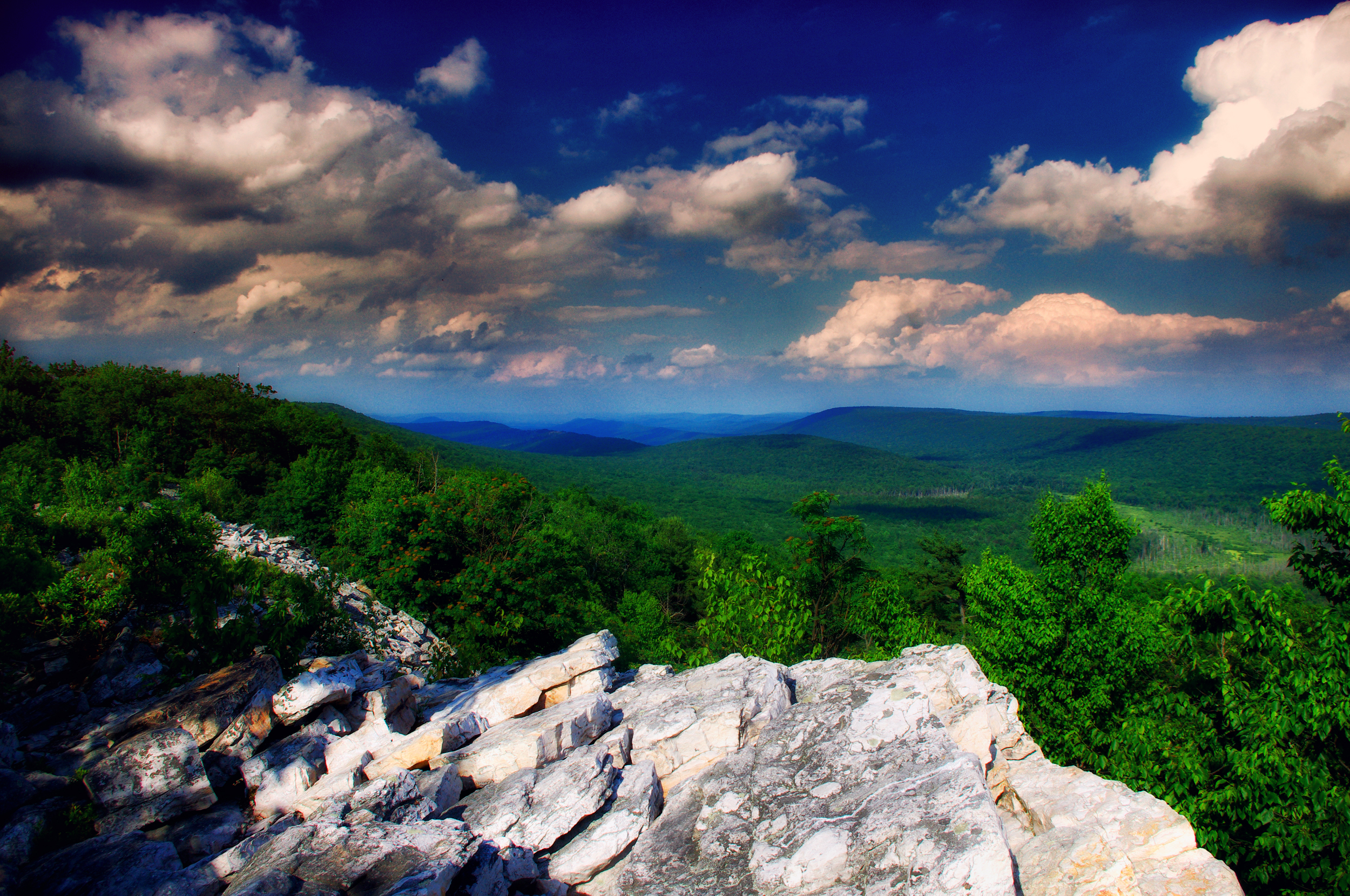
Two Valleys

Mann Narrows

Glistening Flowers

Reedsville PA

Awakening Fields

Juniata Valley

Heavens above Big Valley
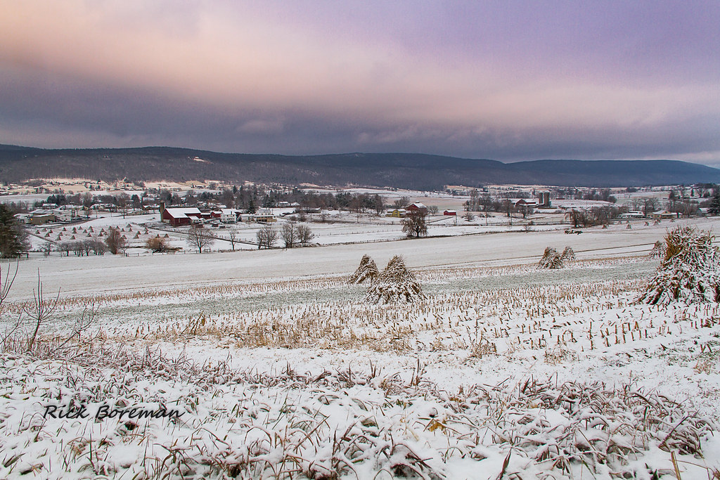
Fresh snow in Big Valley
Indian Wells Overlook - Explored!

...and the hills go on forever
Alan Seeger Natural Area (5)

Easter Sunrise 2014

Down the hill
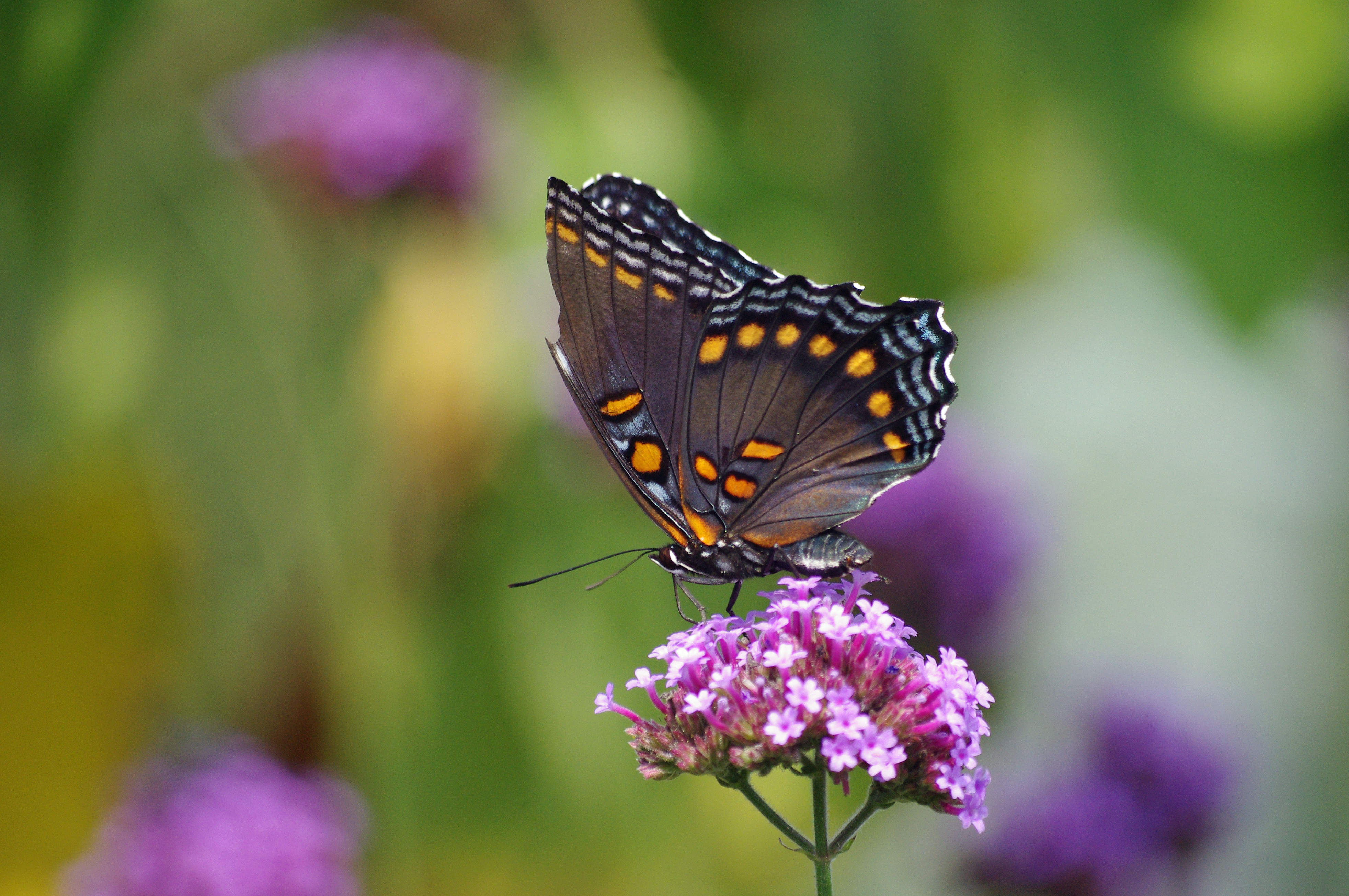
Red-spotted Purple
A hiking trail clings to the side of a mountain at Greenwood Furnace State Park, Pennsylvania.
Snow on the Mountain
Topographic Map of Green Ln, Belleville, PA, USA
Find elevation by address:

Places near Green Ln, Belleville, PA, USA:
E Back Mountain Rd, Reedsville, PA, USA
Brown Township
Mifflin County
Ellen Chapel Lane
Mifflin County Sportsmens Association
Reedsville
4th St, Yeagertown, PA, USA
54 Liane St, Milroy, PA, USA
Burnham
6th Ave, Burnham, PA, USA
Milroy
10 Crownover Dr
10 Crownover Dr
Seven Mountains Scout Camp
Krise Valley Road
Derry Township
Blueberry Hill
Shirk Drive
Armagh Township
9 Stage Farm Ln, McClure, PA, USA
Recent Searches:
- Elevation of 7 Waterfall Way, Tomball, TX, USA
- Elevation of SW 57th Ave, Portland, OR, USA
- Elevation of Crocker Dr, Vacaville, CA, USA
- Elevation of Pu Ngaol Community Meeting Hall, HWHM+3X7, Krong Saen Monourom, Cambodia
- Elevation of Royal Ontario Museum, Queens Park, Toronto, ON M5S 2C6, Canada
- Elevation of Groblershoop, South Africa
- Elevation of Power Generation Enterprises | Industrial Diesel Generators, Oak Ave, Canyon Country, CA, USA
- Elevation of Chesaw Rd, Oroville, WA, USA
- Elevation of N, Mt Pleasant, UT, USA
- Elevation of 6 Rue Jules Ferry, Beausoleil, France