Elevation of Green Island Rd, Starks, LA, USA
Location: United States > Louisiana > Calcasieu Parish > > Starks >
Longitude: -93.632682
Latitude: 30.384599
Elevation: 16m / 52feet
Barometric Pressure: 101KPa
Elevation Map:
Satellite Map:
Related Photos:

IMG_0414
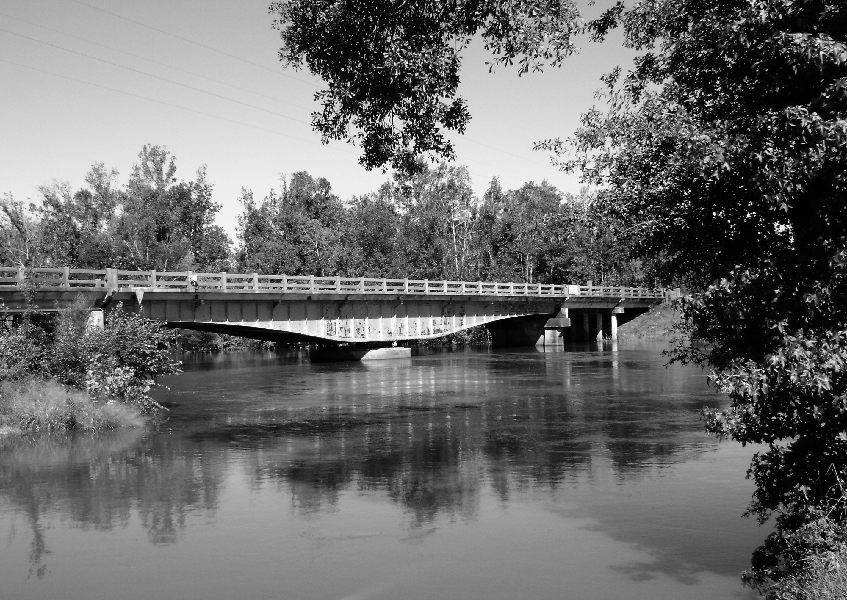
Sabine River Bridge, Hwy 12, Deweyville, Texas 1031091401BW
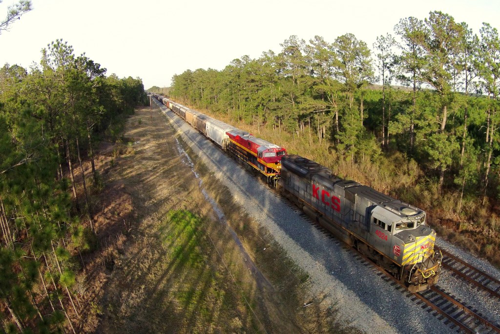
KCS GKCHQS 07, Helme, LA
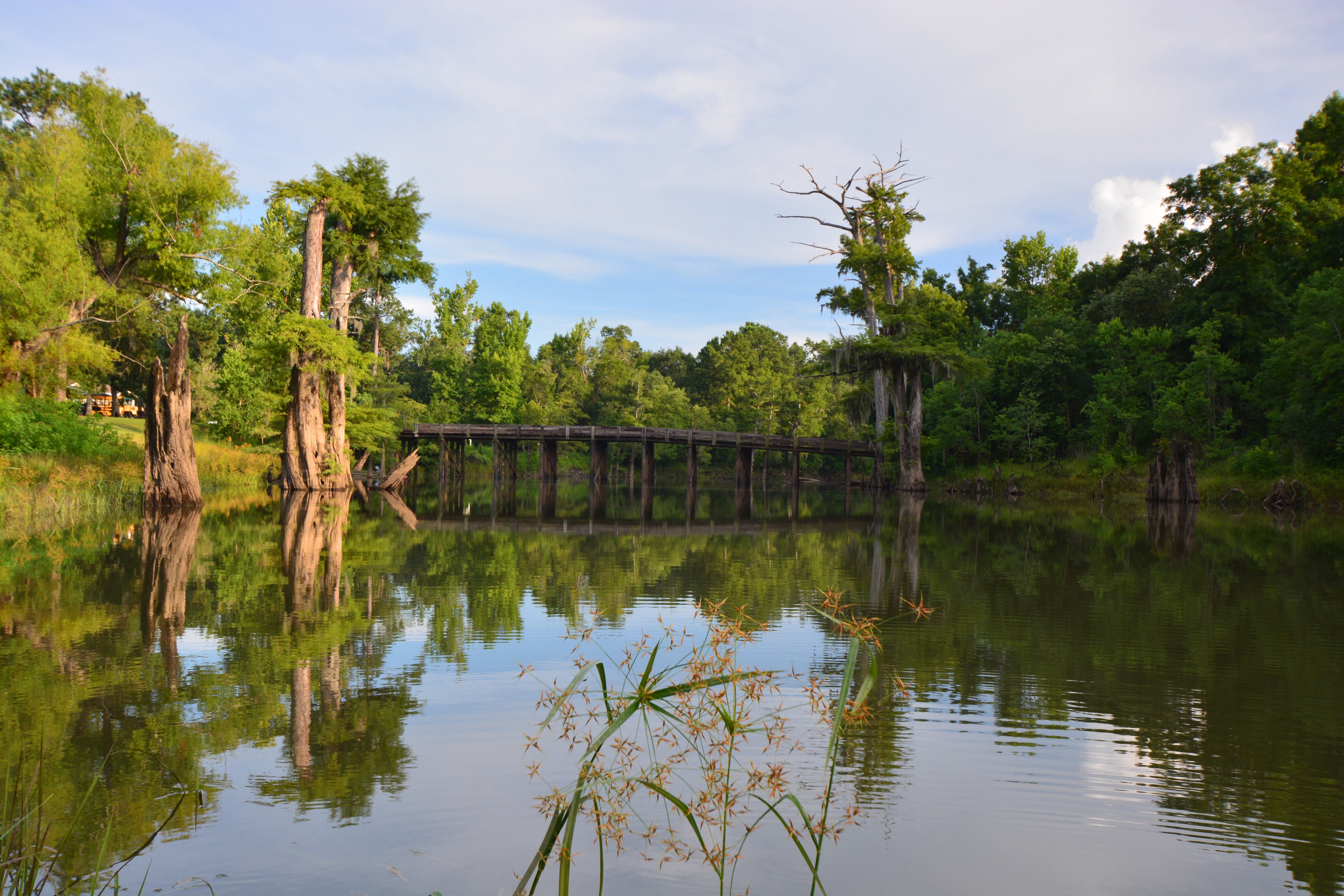
Alligator Park
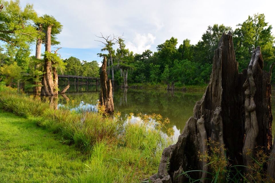
Alligator Park
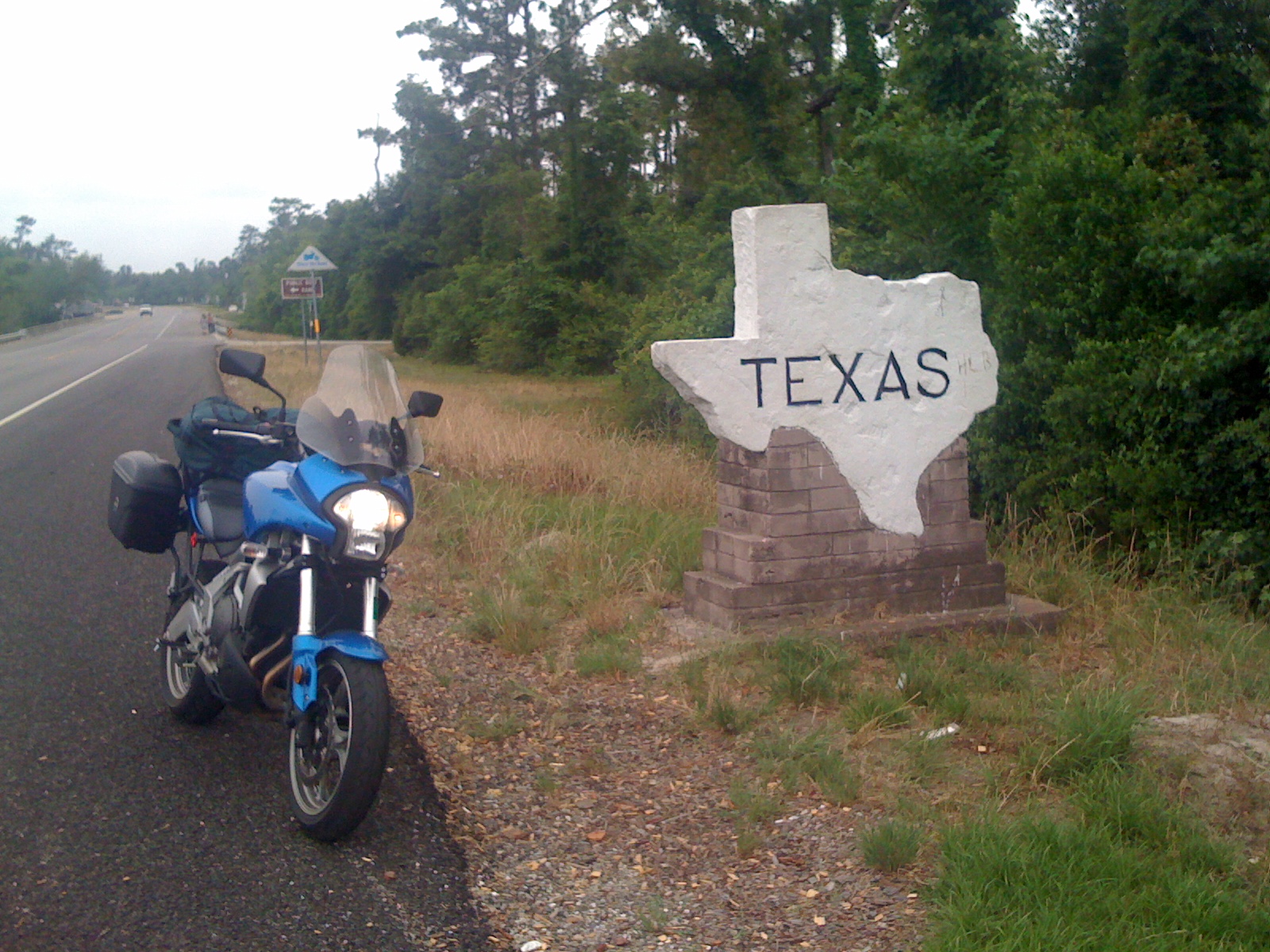
Made it!
Topographic Map of Green Island Rd, Starks, LA, USA
Find elevation by address:

Places near Green Island Rd, Starks, LA, USA:
Old River Road
LA-12, Dequincy, LA, USA
Starks
Evangeline Hwy, Starks, LA, USA
334 La-109
11, LA, USA
372 Jack Coleman Rd
376 Jack Coleman Rd
Woods Rd, Vinton, LA, USA
Deweyville
Fields
Louisiana 109 & Louisiana 389
LA-, Merryville, LA, USA
1, LA, USA
1191 Pinder Ln
1191 Pinder Ln
1191 Pinder Ln
322 County Rd 4212
1150 La-389
County Road 4214
Recent Searches:
- Elevation of Co Rd 87, Jamestown, CO, USA
- Elevation of Tenjo, Cundinamarca, Colombia
- Elevation of Côte-des-Neiges, Montreal, QC H4A 3J6, Canada
- Elevation of Bobcat Dr, Helena, MT, USA
- Elevation of Zu den Ihlowbergen, Althüttendorf, Germany
- Elevation of Badaber, Peshawar, Khyber Pakhtunkhwa, Pakistan
- Elevation of SE Heron Loop, Lincoln City, OR, USA
- Elevation of Slanický ostrov, 01 Námestovo, Slovakia
- Elevation of Spaceport America, Co Rd A, Truth or Consequences, NM, USA
- Elevation of Warwick, RI, USA