Elevation of Greeleys Landing Road, Greeleys Landing Rd, Dover-Foxcroft, ME, USA
Location: United States > Maine > Piscataquis County > Dover-foxcroft >
Longitude: -69.241323
Latitude: 45.251202
Elevation: 102m / 335feet
Barometric Pressure: 100KPa
Elevation Map:
Satellite Map:
Related Photos:

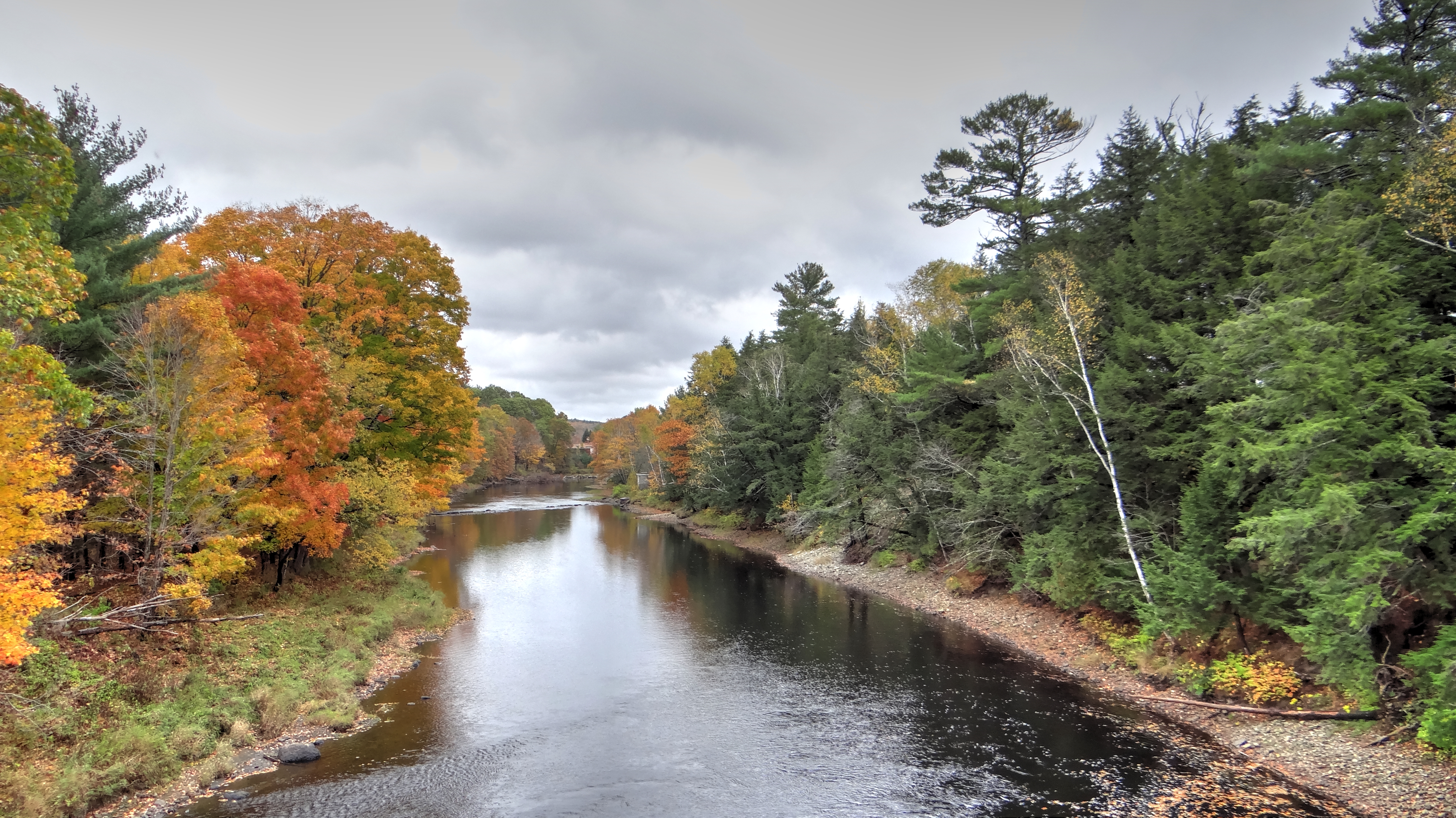
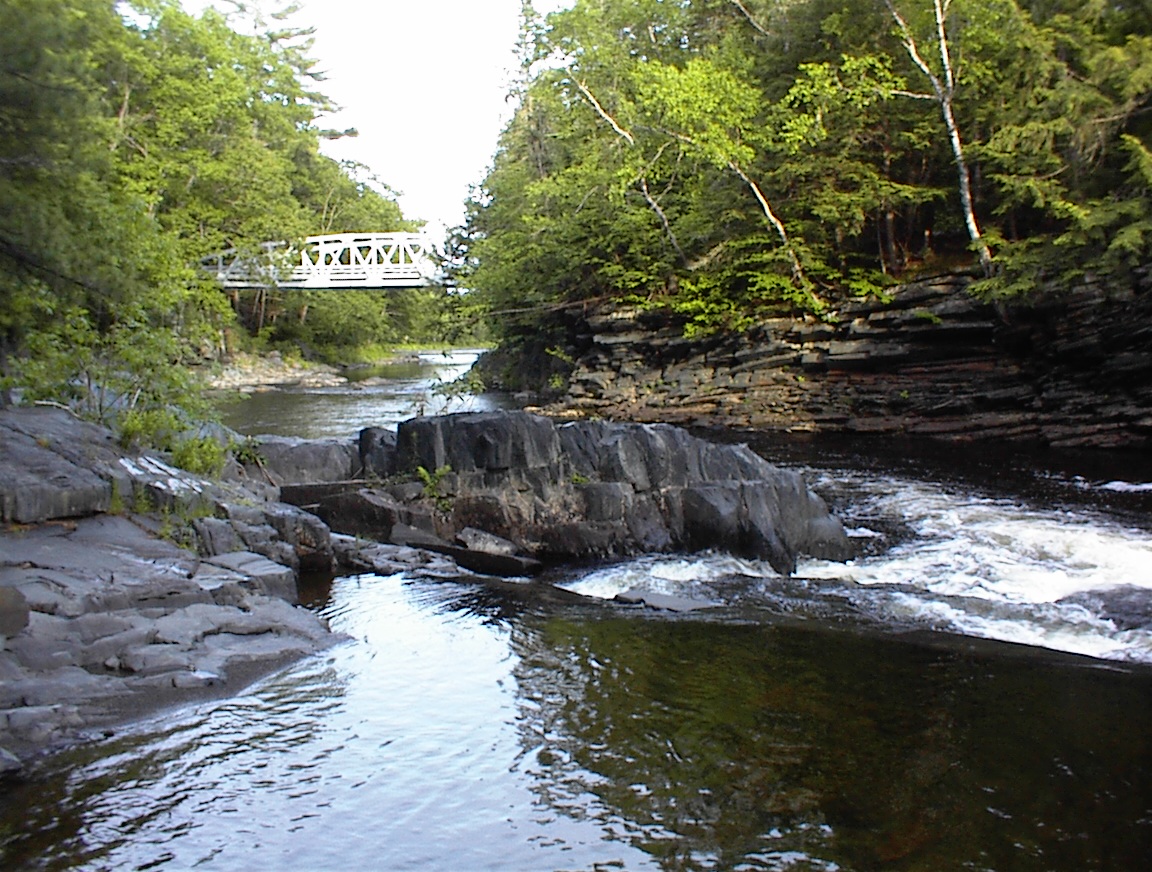
Piscataquis River, Maine USA
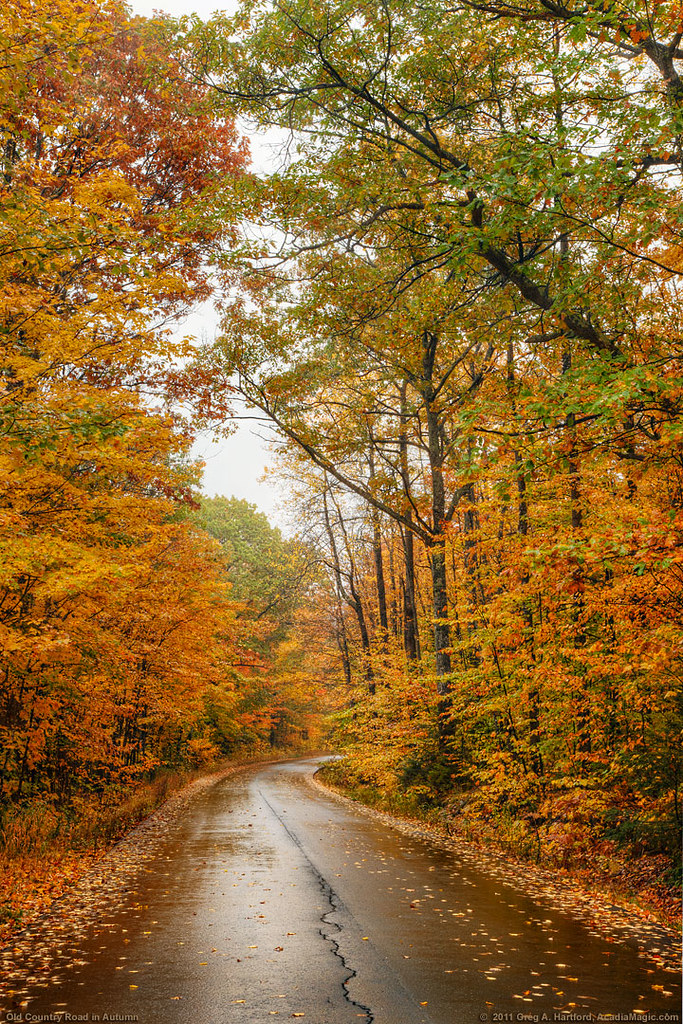
Autumn Canopy and Leaves

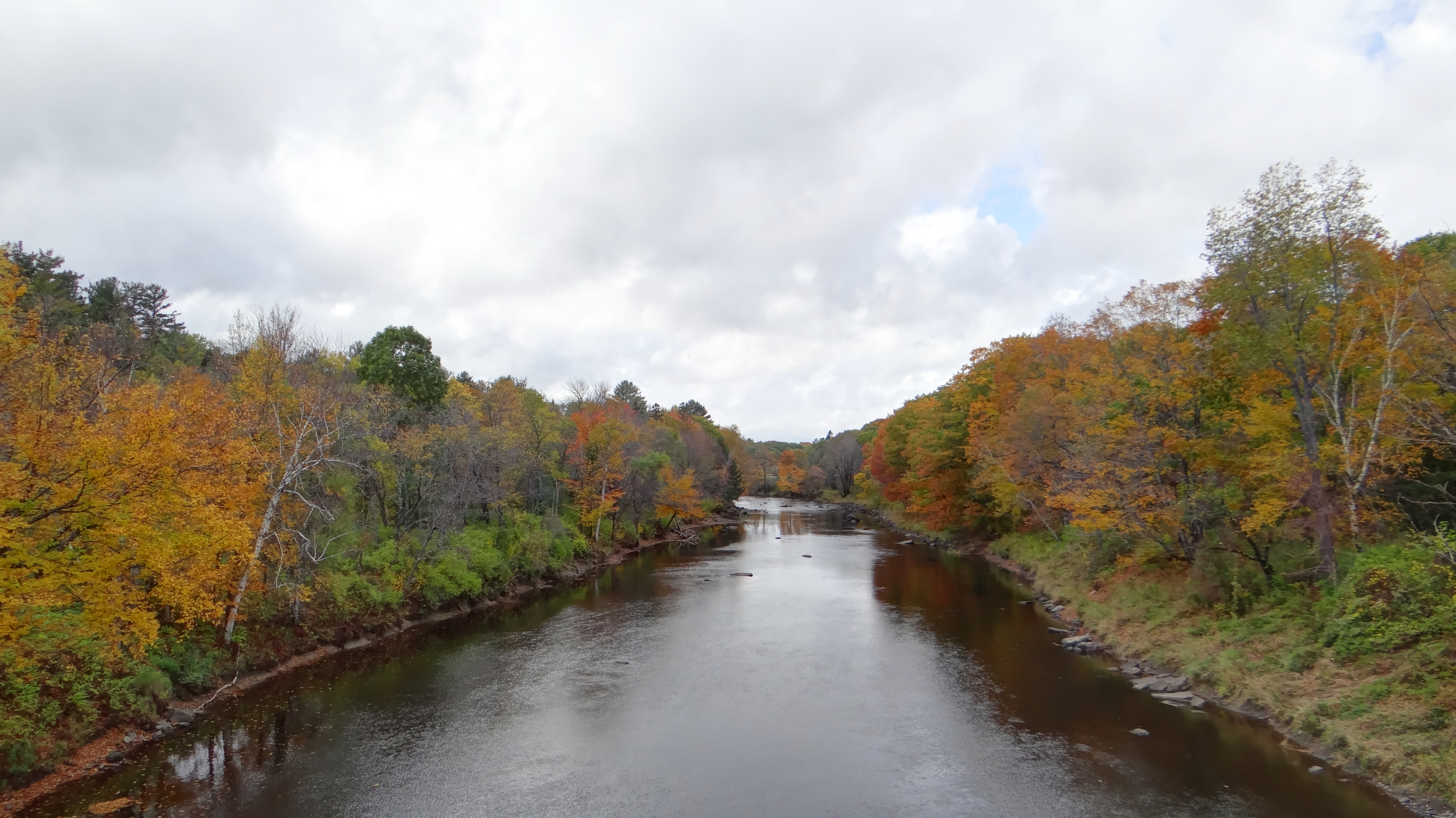
Wilson Stream in Maine

Autumn Leaves

Trip to Maine

Sebec Lake, Maine

Trip to Maine

Trip to Maine

Trip to Maine

Fall in Maine
Fall in Maine
Fall in Maine

Sebec Lake ME
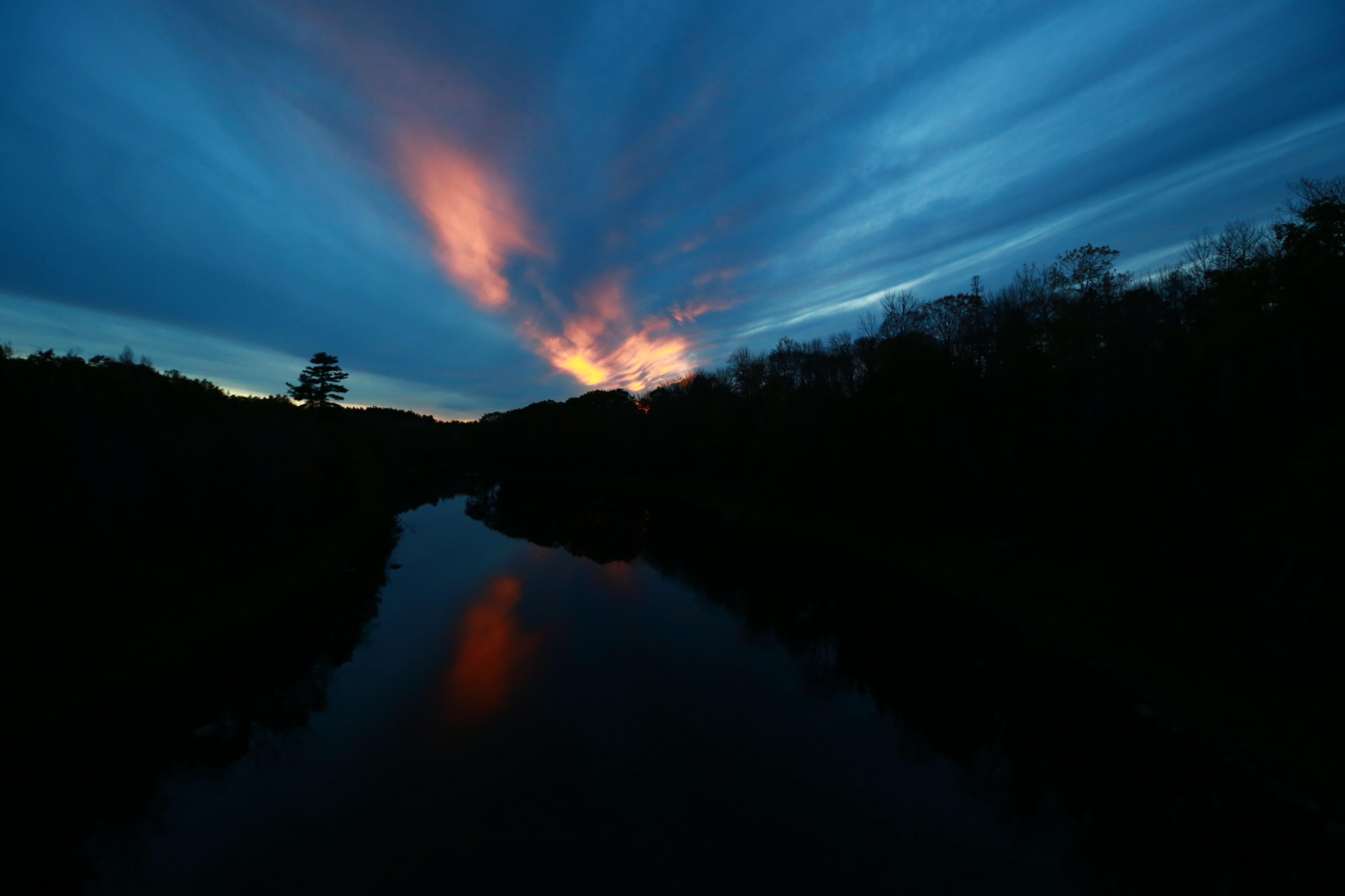
dover foxcroft sunset
maine-pol-impressions-05
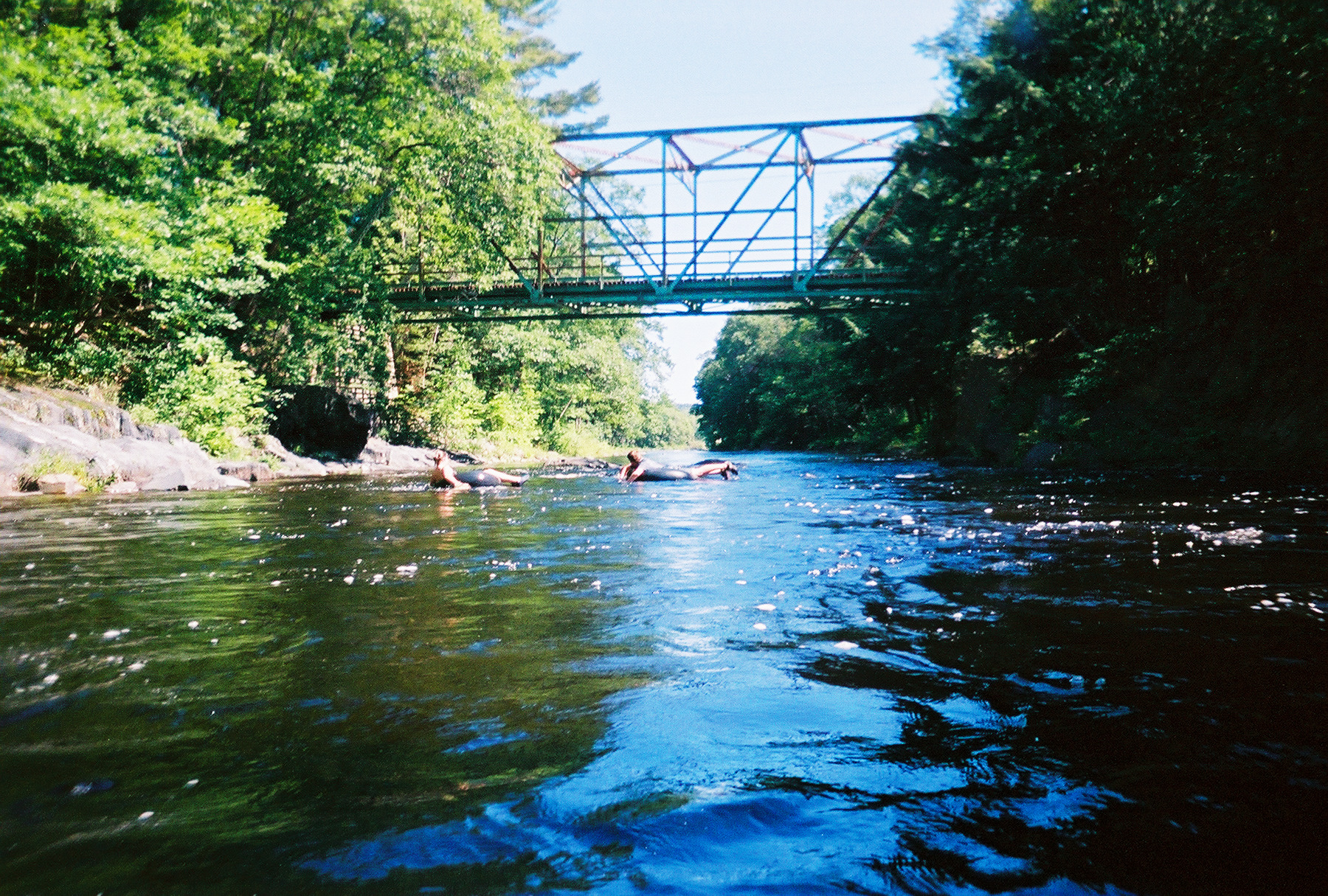
Old Truss Bridge, Willimantic

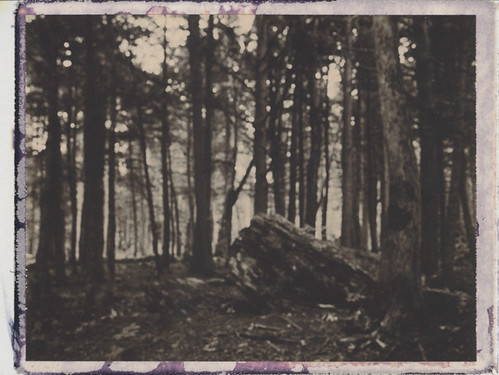
maine-pol-impressions-06
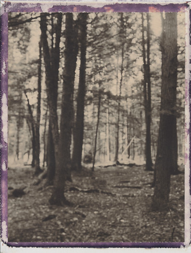
maine-pol-impressions-04
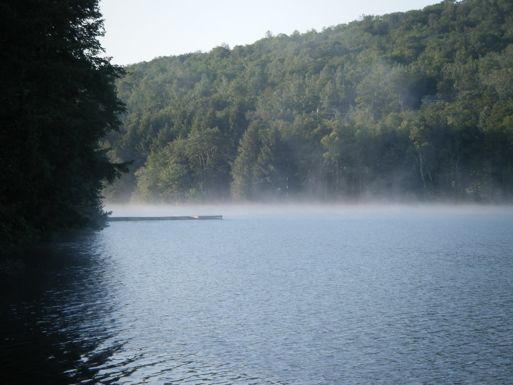
Sebec Lake ME

Red barn and boats
Still Charming
Topographic Map of Greeleys Landing Road, Greeleys Landing Rd, Dover-Foxcroft, ME, USA
Find elevation by address:

Places near Greeleys Landing Road, Greeleys Landing Rd, Dover-Foxcroft, ME, USA:
2 Cotton Brook Rd, Dover-Foxcroft, ME, USA
30 Borestone View
30 Borestone View
30 Borestone View
34 Spring St
Dover-foxcroft
Dover-foxcroft
482 Essex St
North Road
52 Cove Rd
Sebec
673 Milo Rd
32 Austin Rd, Sebec, ME, USA
Atkinson
Quarry Avenue
Rips Road
Brownville
27 Church St, Brownville, ME, USA
14 Maple St
Milo
Recent Searches:
- Elevation of 30 Oak Lawn Dr, Barkhamsted, CT, USA
- Elevation of Luther Road, Luther Rd, Auburn, CA, USA
- Elevation of Unnamed Road, Respublika Severnaya Osetiya — Alaniya, Russia
- Elevation of Verkhny Fiagdon, North Ossetia–Alania Republic, Russia
- Elevation of F. Viola Hiway, San Rafael, Bulacan, Philippines
- Elevation of Herbage Dr, Gulfport, MS, USA
- Elevation of Lilac Cir, Haldimand, ON N3W 2G9, Canada
- Elevation of Harrod Branch Road, Harrod Branch Rd, Kentucky, USA
- Elevation of Wyndham Grand Barbados Sam Lords Castle All Inclusive Resort, End of Belair Road, Long Bay, Bridgetown Barbados
- Elevation of Iga Trl, Maggie Valley, NC, USA