Elevation map of Greater Hume Shire Council, Greater Hume, NSW, Australia
Location: Australia > New South Wales >
Longitude: 147.191550
Latitude: -35.723661
Elevation: 262m / 860feet
Barometric Pressure: 98KPa
Elevation Map:
Satellite Map:
Related Photos:

Misty view

The Trains Still Come

Hume Highway, Holbrook

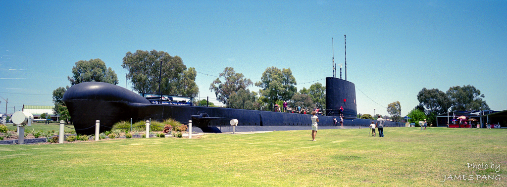
HMAS Otway, Holbrook

Caution. The driver cannot see you here!
20121221 - Scan 001 HMAS Otway
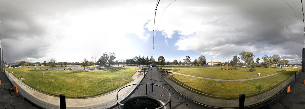
360° - HMAS Otway

Yambla range views

Culcairn map poster print wall art, New South Wales gift printable download
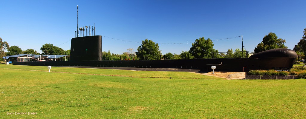
HMAS Otway O Class Oberon Australian Navy Submarine, Holbrook NSW

HMAS Otway

Up periscope

Australië

A really hot day in Holbrook !!

NSW landscape
Topographic Map of Greater Hume Shire Council, Greater Hume, NSW, Australia
Find elevation by address:

Places in Greater Hume Shire Council, Greater Hume, NSW, Australia:
Places near Greater Hume Shire Council, Greater Hume, NSW, Australia:
City Of Albury
Burrumbuttock
Glenroy
492 Stoney Park Rd
258 Peechelba St
East Albury
19 Harvey Ct
1/1057 Sirls Rd
Albury
Albury
Jarvis Creek
634 Lindsay Ave
South Albury
The River Deck Cafe; Restaurant, Cafe, Wedding And Function Venu
Gateway Island
Lincoln Causeway
Tallangatta Health Service
Beanstation Cafe
Wodonga
Wodonga
Recent Searches:
- Elevation of Crystal Cir, Birmingham, AL, USA
- Elevation of N Railroad Ave, West Palm Beach, FL, USA
- Elevation of 55 Cassick Valley Rd, Wellfleet, MA, USA
- Elevation of Ironwood Dr, Minden, NV, USA
- Elevation of 高尾山口駅, Takaomachi, Hachioji, Tokyo -, Japan
- Elevation of 15 Victory Ave, Greenville, SC, USA
- Elevation of Kota Ternate Utara, Ternate City, North Maluku, Indonesia
- Elevation of Allon St, Oceanside, NY, USA
- Elevation of Carroll Creek Rd, Custer, SD, USA
- Elevation of Lust Road, Lust Rd, Florida, USA