Elevation of Grassy Island Rd, Wadesboro, NC, USA
Location: United States > North Carolina > Anson County > Ansonville >
Longitude: -80.080307
Latitude: 35.092256
Elevation: 84m / 276feet
Barometric Pressure: 100KPa
Elevation Map:
Satellite Map:
Related Photos:
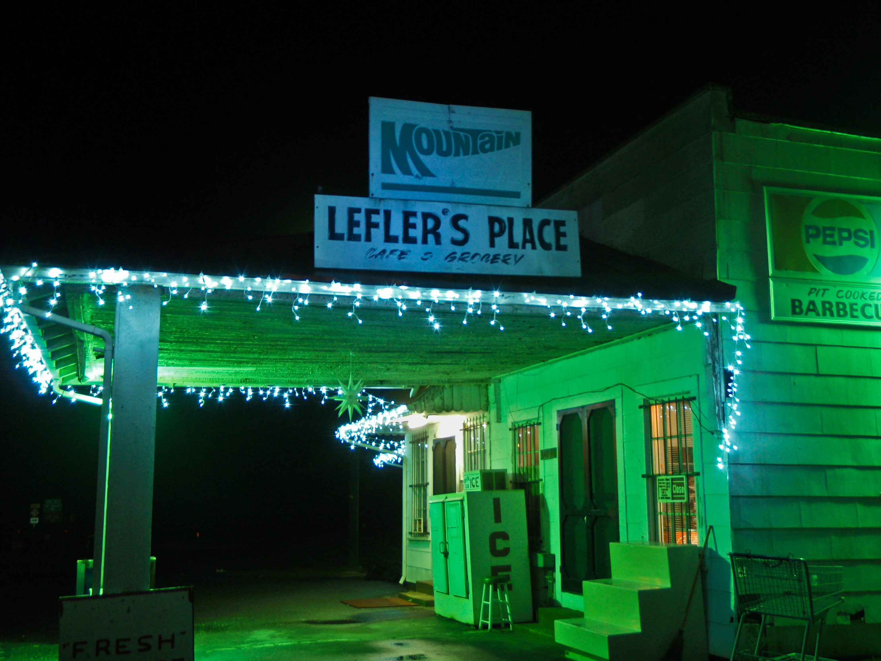
Lefler's Place
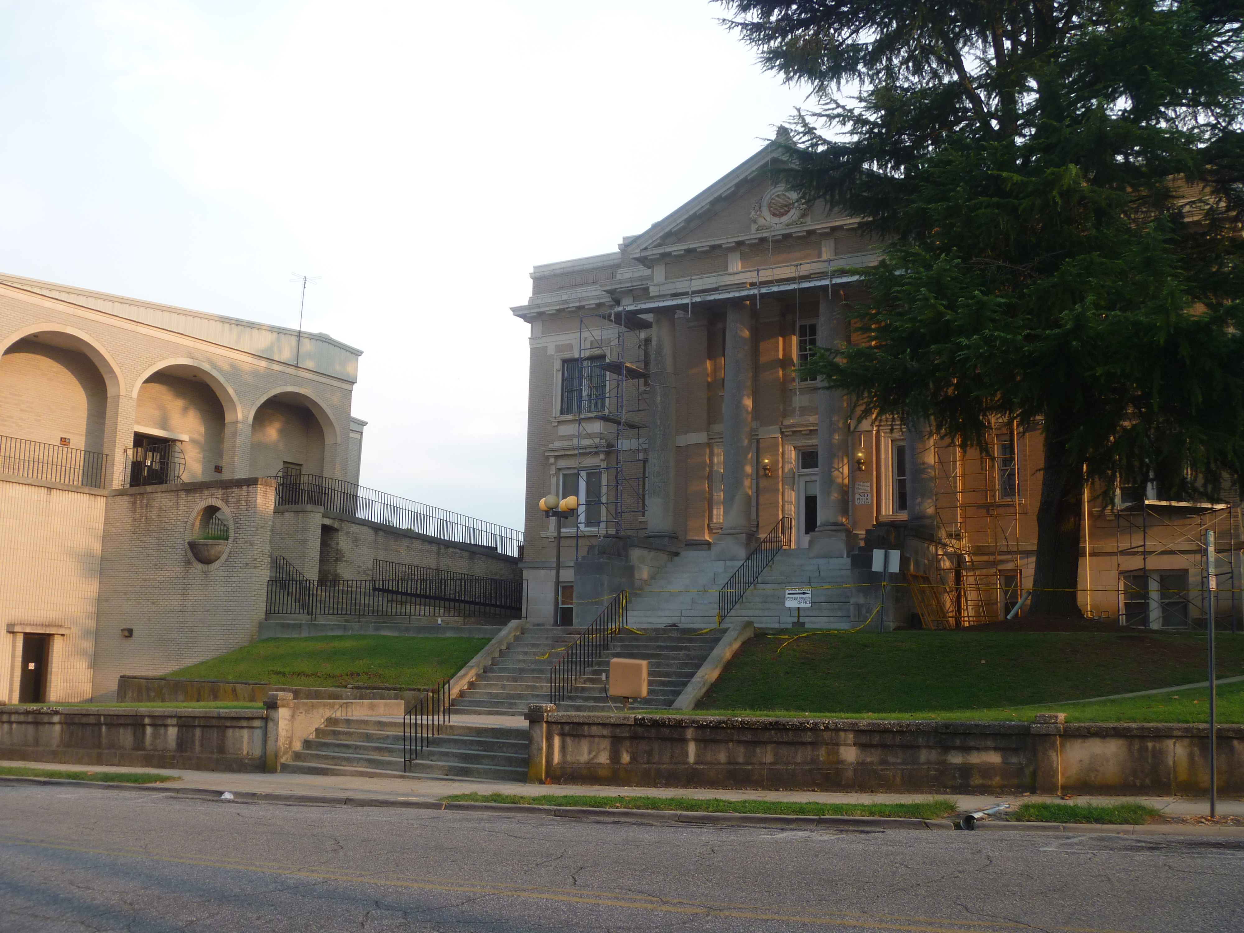
Side View Of Anson County Courthouse

Diack Family Gravesite, Eastview Cemetery, Wadesboro, NC

anson-20080728-114930
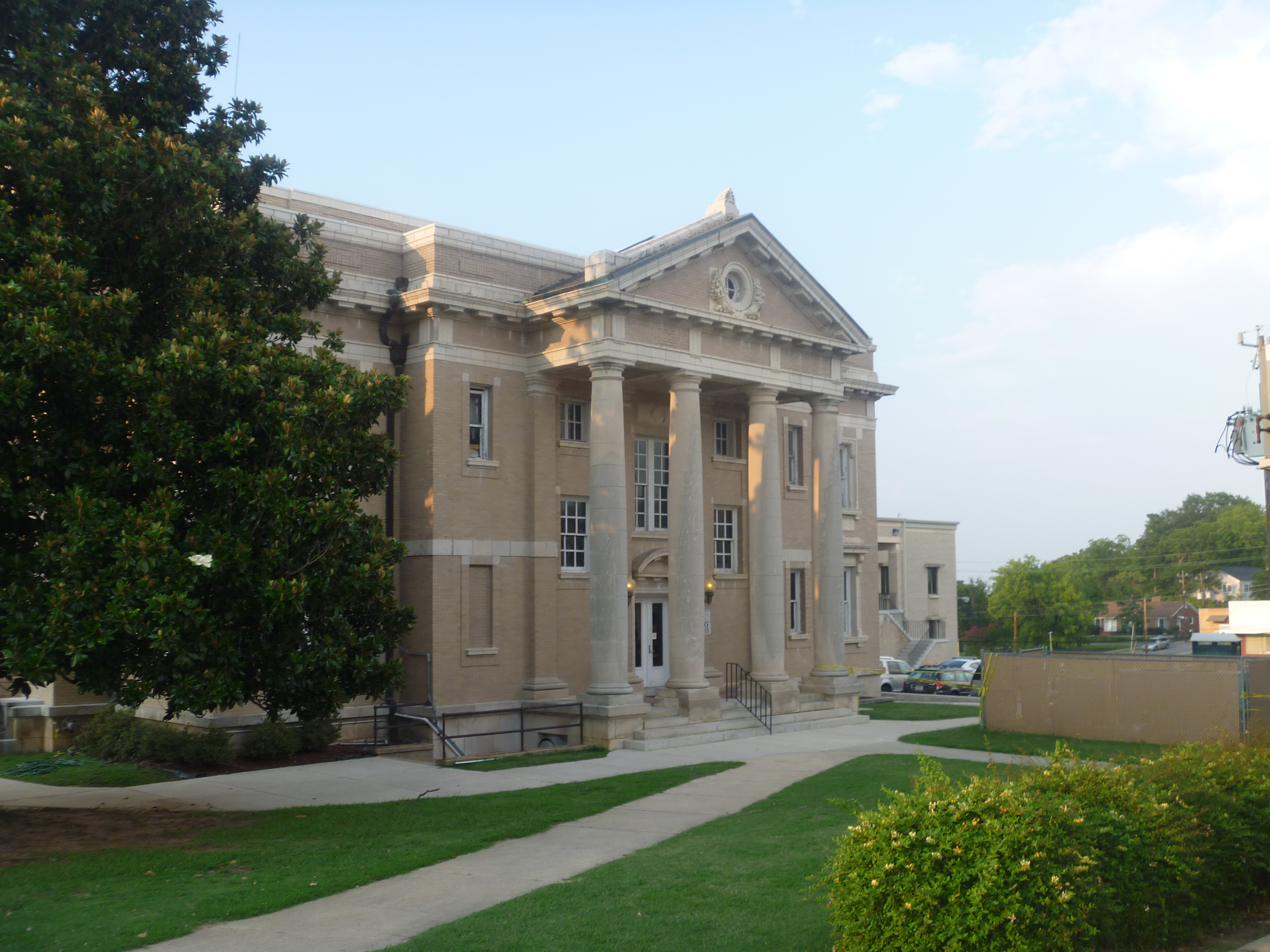
Side View Of Anson County Courthouse

anson-20080728-114842

anson-20080728-114856
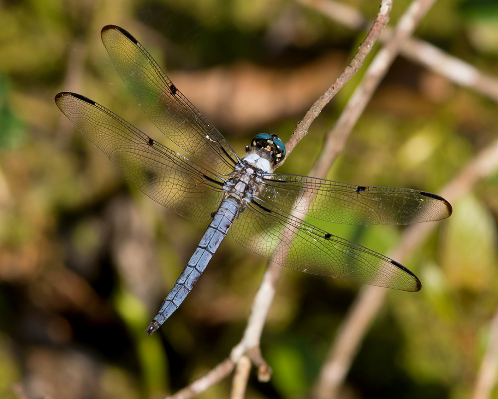
Great Blue Skimmer
forkht_196-Edit

Double Rainbow
20141115-DSC_4711
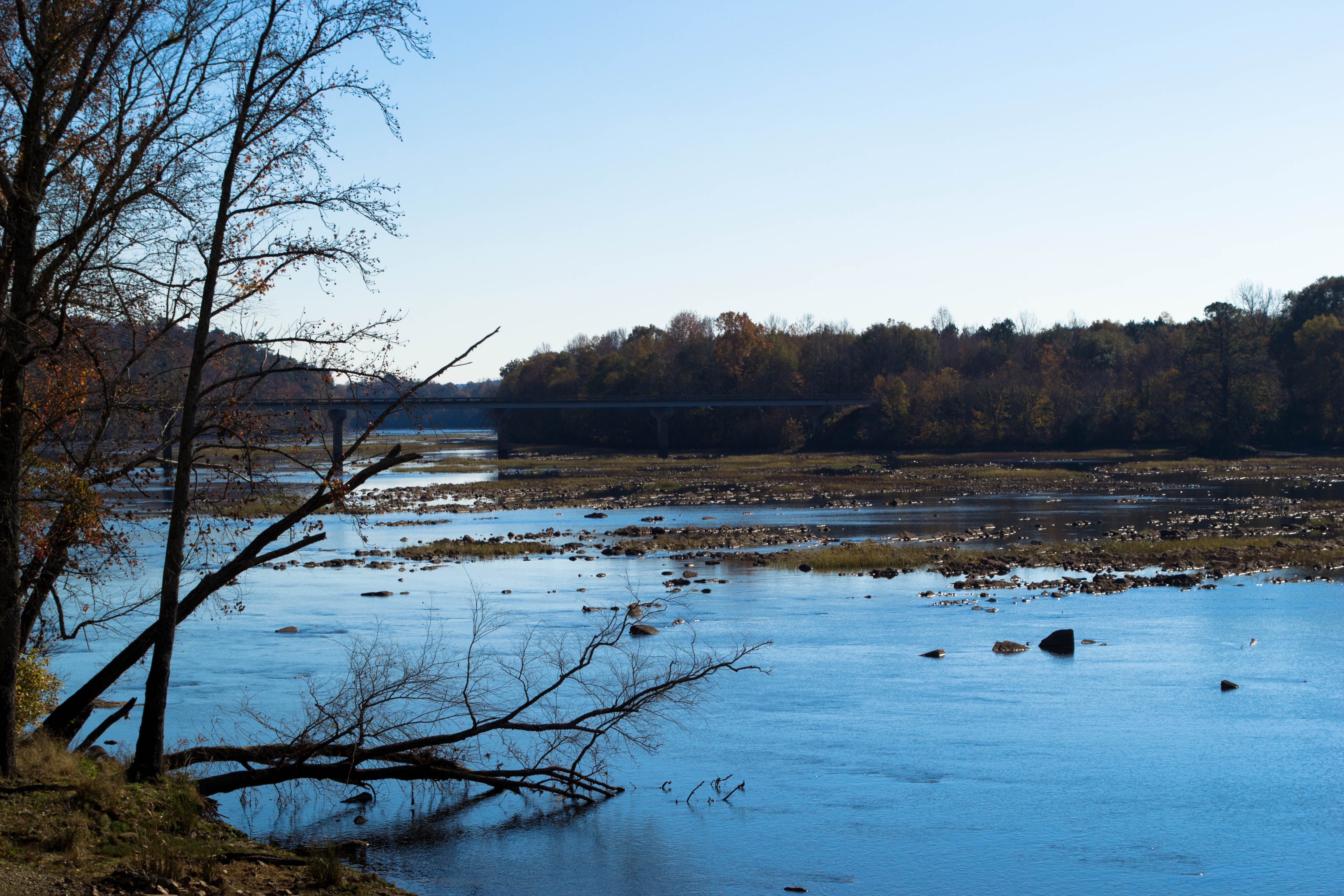
Riverside #nikon #littleriver #peedeeriverbasin #mextures #mexturesapp #river #outdoors #outside #northcarolina #northcarolinariver

img 03
Calm lake
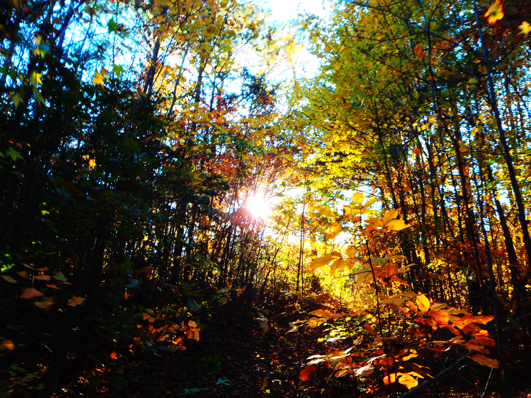
Leaves!

dam sunset

Sunset on Lake Tillery

Lake Tillery
20141115-DSC_4725

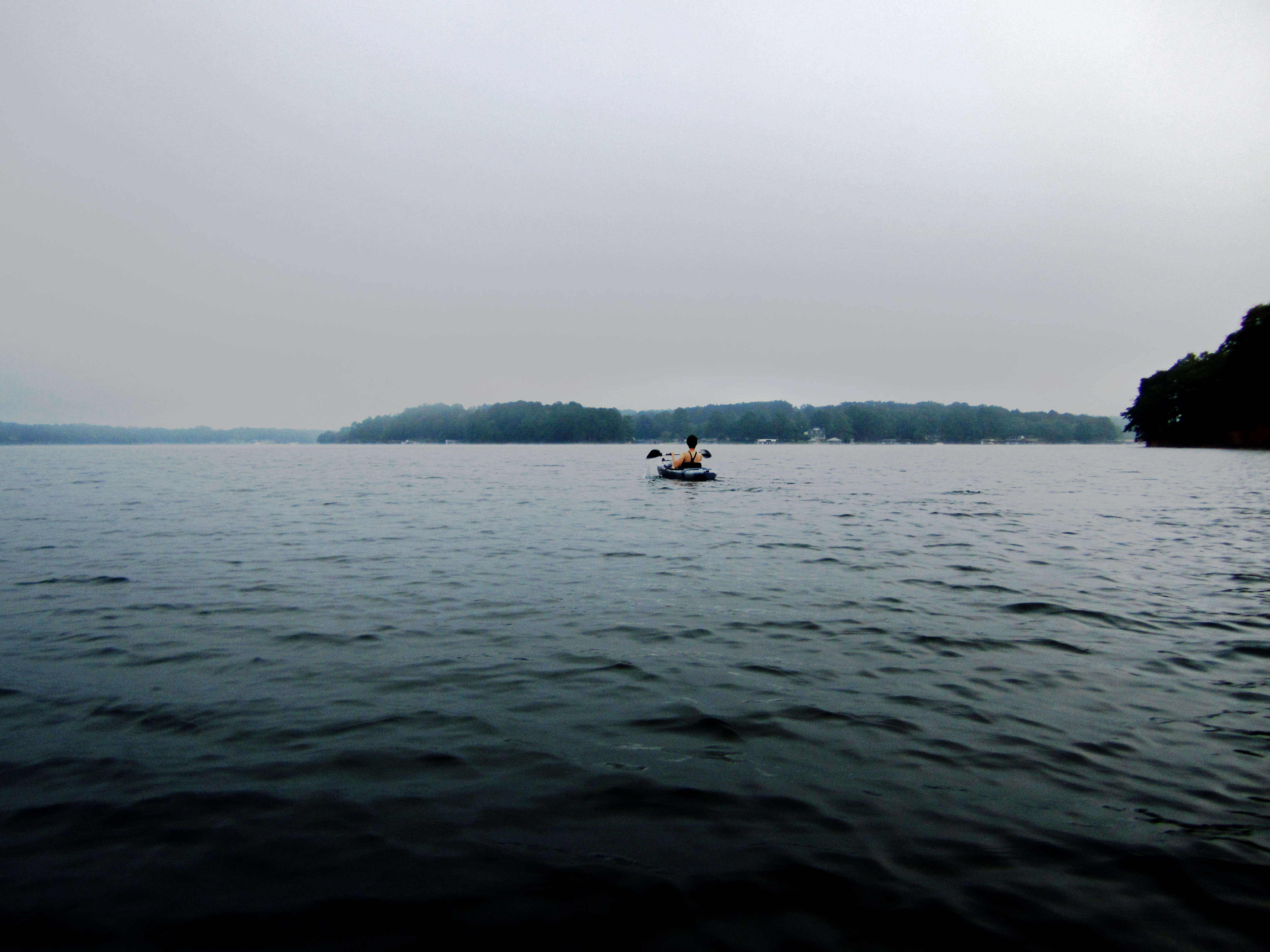
Foggy Lake Tillery
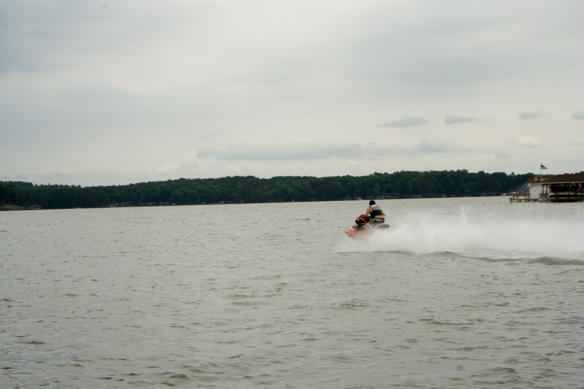
kayaking on lake tillery
Lake-01.jpg
Lake-03.jpg
Lake-13.jpg
Exploring the Pee Dee River with Aveya.
Topographic Map of Grassy Island Rd, Wadesboro, NC, USA
Find elevation by address:

Places near Grassy Island Rd, Wadesboro, NC, USA:
135 Jack's Branch Rd
Ansonville
Ansonville
3432 Brown Creek Church Rd
US-52, Wadesboro, NC, USA
Wadesboro
Wadesboro
W Caswell St, Wadesboro, NC, USA
212 White Store Rd
212 White Store Rd
212 White Store Rd
200 Nc-742
1028 Old Lilesville Rd
Lilesville
Lilesville
Buffalo Bay Drive
Gulledge
252 Chewning Rd
Morven
North Carolina 145
Recent Searches:
- Elevation of 15th Ave SE, St. Petersburg, FL, USA
- Elevation of Beall Road, Beall Rd, Florida, USA
- Elevation of Leguwa, Nepal
- Elevation of County Rd, Enterprise, AL, USA
- Elevation of Kolchuginsky District, Vladimir Oblast, Russia
- Elevation of Shustino, Vladimir Oblast, Russia
- Elevation of Lampiasi St, Sarasota, FL, USA
- Elevation of Elwyn Dr, Roanoke Rapids, NC, USA
- Elevation of Congressional Dr, Stevensville, MD, USA
- Elevation of Bellview Rd, McLean, VA, USA