Elevation of Grassy Creek, NC, USA
Location: United States > North Carolina > Ashe County > Grassy Creek >
Longitude: -81.388713
Latitude: 36.5737341
Elevation: 809m / 2654feet
Barometric Pressure: 92KPa
Elevation Map:
Satellite Map:
Related Photos:

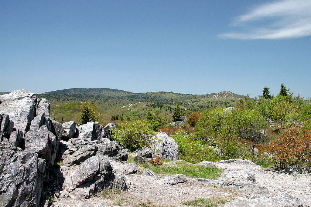
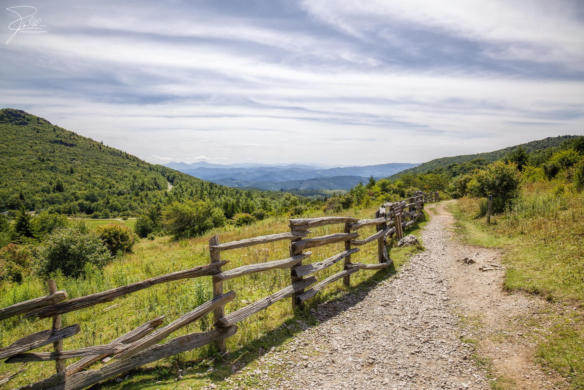
Wilburn Ridge Trail
Morning on Wilburn Ridge
Grayson Highlands

Grayson Highlands Sunset
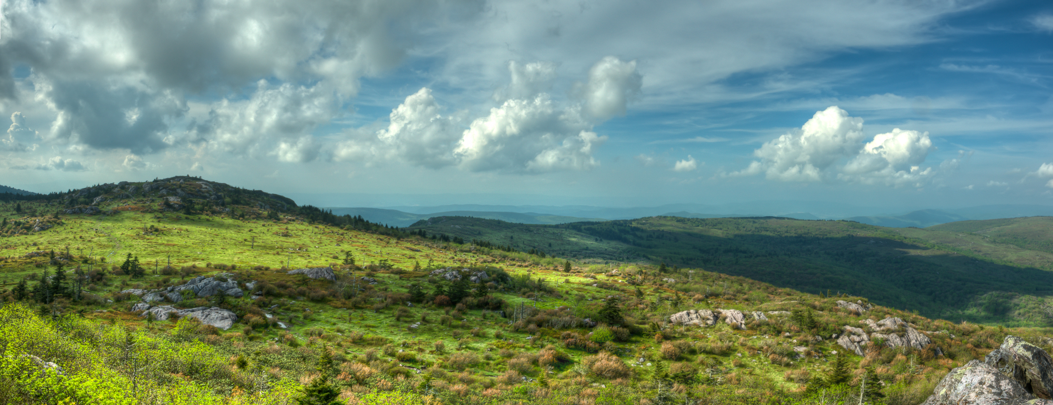
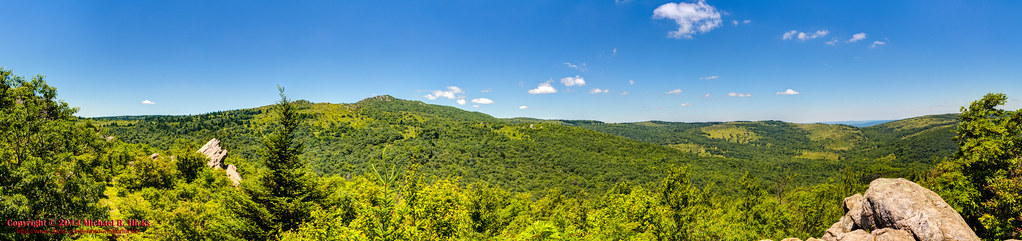
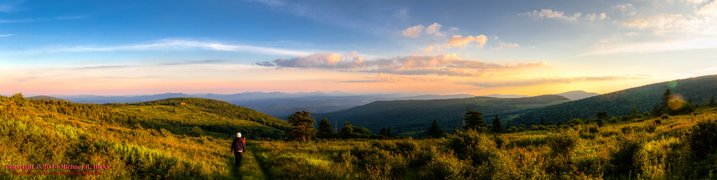
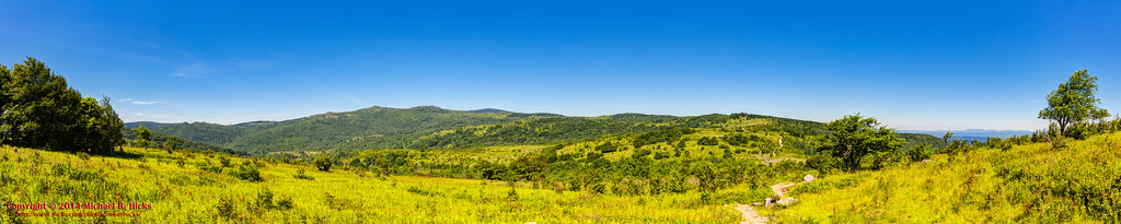
Wilburn Ridge Pano

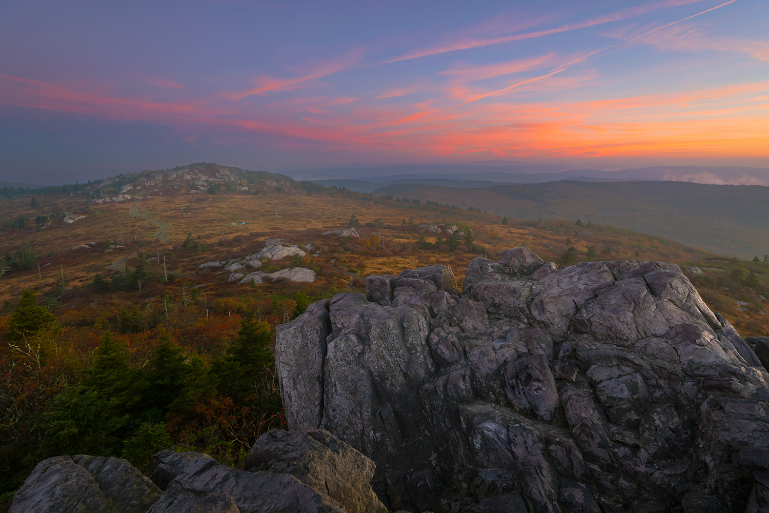
Wilburn Ridge Sunrise

Appalachian Yorkie

Nuclear Blast
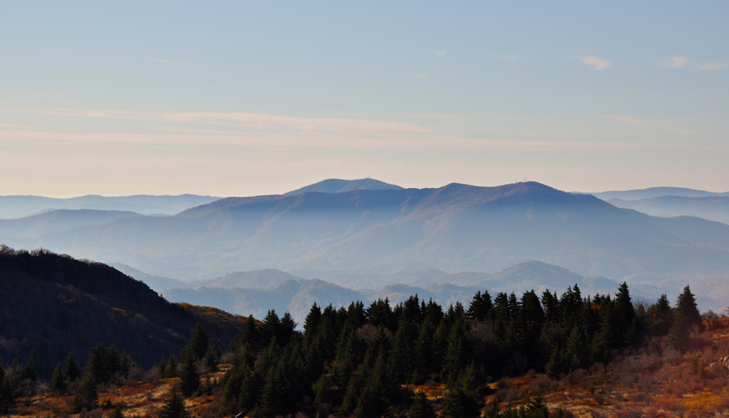
Morning in the Grayson Highlands

Old New River House
Mt Rogers Backpack - Another view on the AT - July 5, 2014

Mobile Home

3D Grayson Highlands Park

IMG_5371.jpg

Valley view from Grayson Highlands State Park
views around the homestead (2)
Mt View Grayson Highlands SP VA 4431
views around the homestead (9)

views around the homestead (8)

Sunset Over Mt Rogers

Mt View Grayson Highlands SP VA 4427

Wilburn Ridge Sunset
Upper Cabin Creek Falls

Sugarland Overlook - Grayson Highlands State Park
Mt Rogers Backpack - On the AT - Golden Hour at Thomas Knob - July 5, 2014

Wilburn Ridge Sunset

SWVA -- My Second Home
Grayson Highlands
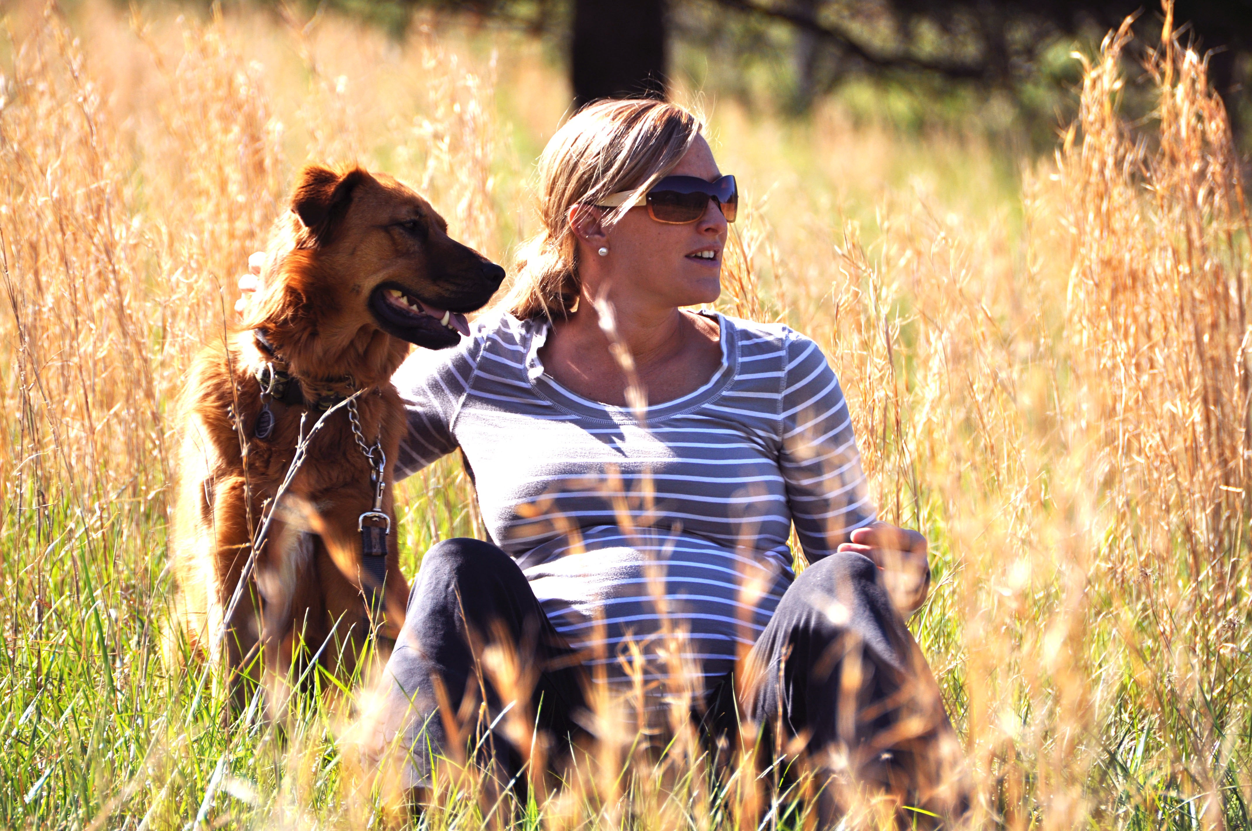
river and her momma to be
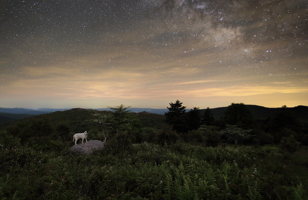
Starry Starry Evening
Mt Rogers Backpack - Panorama from the hills above Scales - July 5, 2014

Morning Rhododendron

Mt Rogers Backpack - Sunrise on Thomas Knob - July 6, 2014
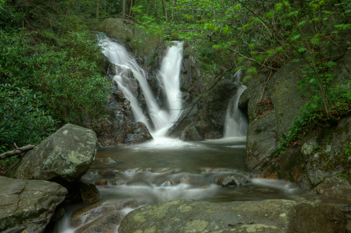
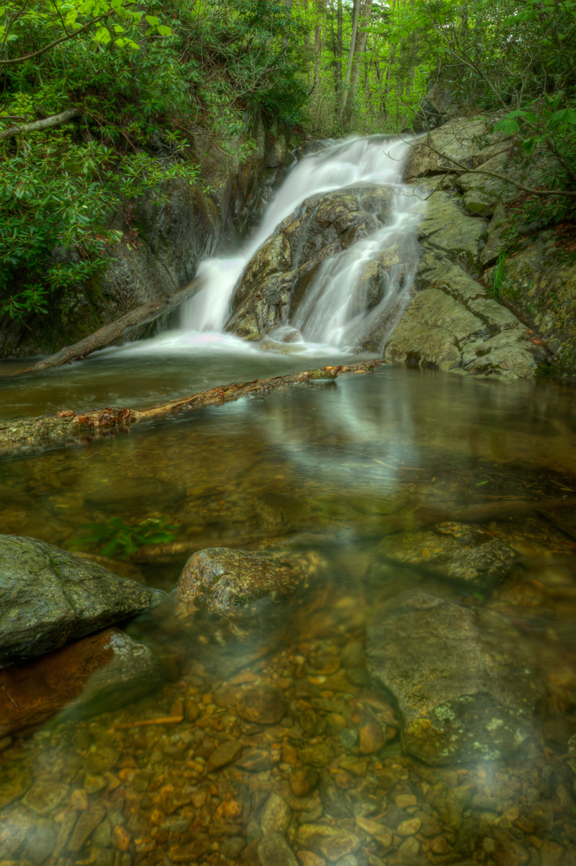
Lower Cabin Creek Falls

Grayson Highlands
Topographic Map of Grassy Creek, NC, USA
Find elevation by address:

Places in Grassy Creek, NC, USA:
Places near Grassy Creek, NC, USA:
3509 Grassy Creek Rd
420 Red Oak Ln
101 Double Branch Rd
435 Double Branch Rd
741 Red Oak Ln
708 Bear Branch Rd
1547 York Ridge Rd
3115 Bear Branch Rd
219 Reservation Ln
97 Hillside Dr
1700 York Ridge Rd
2517 Troutdale Hwy
61 Lucky Hill Rd
61 Lucky Hill Rd
2780 York Ridge Rd
Virginia Lane
170 Lucky Valley Rd
188 Happy Land Rd
Troutdale Hwy, Mouth of Wilson, VA, USA
111 Happy Forest Dr
Recent Searches:
- Elevation of Steadfast Ct, Daphne, AL, USA
- Elevation of Lagasgasan, X+CQH, Tiaong, Quezon, Philippines
- Elevation of Rojo Ct, Atascadero, CA, USA
- Elevation of Flagstaff Drive, Flagstaff Dr, North Carolina, USA
- Elevation of Avery Ln, Lakeland, FL, USA
- Elevation of Woolwine, VA, USA
- Elevation of Lumagwas Diversified Farmers Multi-Purpose Cooperative, Lumagwas, Adtuyon, RV32+MH7, Pangantucan, Bukidnon, Philippines
- Elevation of Homestead Ridge, New Braunfels, TX, USA
- Elevation of Orchard Road, Orchard Rd, Marlborough, NY, USA
- Elevation of 12 Hutchinson Woods Dr, Fletcher, NC, USA