Elevation of Grant Rd W, Sooke, BC V9Z 0P5, Canada

Location: Canada > British Columbia > Capital > Sooke > Sooke >

Longitude: -123.72559

Latitude: 48.3797104

Elevation: 56m / 184feet

Barometric Pressure: 101KPa

Elevation Map:

elevation map of Grant Rd W, Sooke, BC V9Z 0P5, Canada

Satellite Map:

Satellite map of Grant Rd W, Sooke, BC V9Z 0P5, Canada

Related Photos:

tasteful ZONO
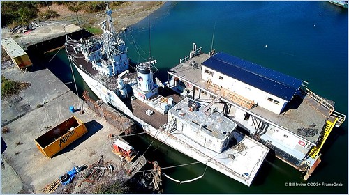
hmcs cowichan minesweeper ww2 ship jetty dock sookebasin sooke aerial hexacopter typhoon yuneec gallopinggoosetrail ggt drone screenshot 162 screengrab saltwater ocean stickleback westcoasteatery cooperscove coopers hmcscowichan162 saseenos goodridgepeninsula
HMCS Cowichan 162 drone shot
therize viewhomes westhills westhillsresidents lunarcourt centauridrive westhillresidence triplecrownresidence westshorecommunity drone video 4k yuneec hexacopter remote controlled aerial vehicle licensed pilot transportcanada photography screenshots framegrabs irwin humpback constellation greattrail sookewonderness sooke langford
Drone View Westhills Langford
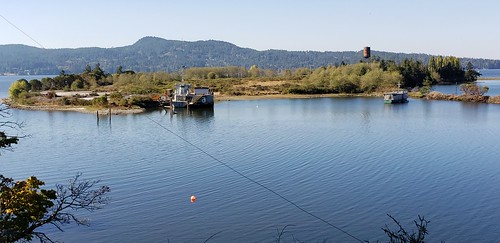
hmcs cowichan minesweeper ww2 ship jetty dock sookebasin sooke hexacopter typhoon yuneec gallopinggoosetrail ggt drone screenshot 162 screengrab saltwater ocean stickleback westcoasteatery cooperscove coopers hmcscowichan162 ignominious aerial goodridgepeninsula
HMCS Cowichan 162 at Goodridge Peninsula
vancouverisland eastsookeregionalpark victoriabc britishcolumbia canada analogphotography 35mmfilmphotography keepfilmalive 35mmfilm 35mm buyfilmnotmegapixels staybrokeshootfilm shootfilm filmisnotdead analogfearures ishootfilm filmfeed filmcamera filmphotography analogfilm believeinfilm plustekopticfilm8200i blackandwhite blackandwhitefilm canoneos3 ilfordfilm ilfordphoto ilford ilfordxp2super ilfordxp2super400
Vancouver Island
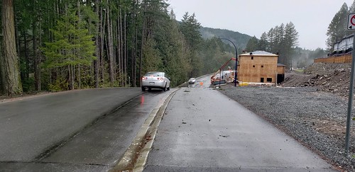
tags mountwells regional note9 greattrail sookehills galaxy samsung meridian meridianavenue thegreatrail irwinpark irwinroad humpback humpbackreservoir viewranger gps bicycle cycling westhillspark norco westhills langford trails westshore transcanadatrail tct ggt tgt crd capitalregionaldistrict stewyoung vancouverisland cellphone
Cars to the Left of me Bikes to the Right
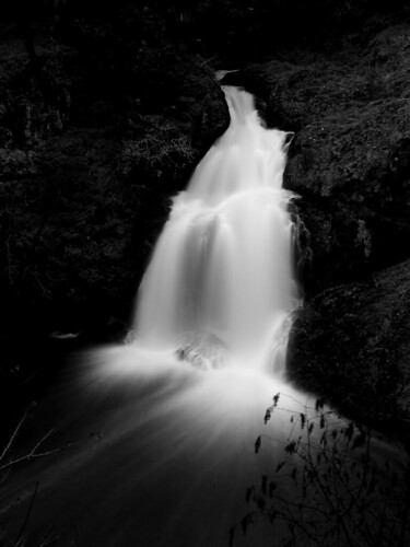
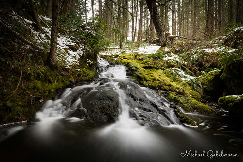
longexposure blackandwhite bw water geotagged waterfall topf50 rocks 25 topv777 wittys tccomp001 geo:lat=483880 geo:lon=1235225 cotcmostfavorited
Sitting Lady Falls
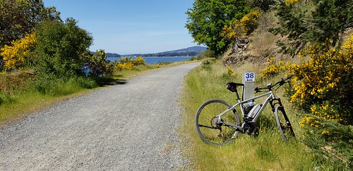
tags bosch cube ebike pedalec pedalassist sooke sookebasin gallopinggoosetrail ggt drone hexacopter yuneec typhoon cgo3 indiginous thomasroad esquimalt viewroyal songhee wellness crd capitalregionaldistrict cnr saseenos veitch canadiannationalrailway railtrail rails2trails 38km 30km regional 50km
Sooke Basin Views
southpoint southpointliving langford stewyoung mayoryoung westhills westshore parkway belmont school secondary belmontsecondary samsung note9 bentley bearmountain meridian canada amos carpenter panorama panoramic phase6 constellation cellphone lofts townhomes homes houses dwellings westshoreparkway langfordlake zone humpback
Before & After
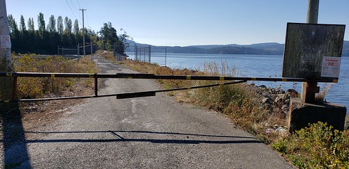
hmcs cowichan minesweeper ww2 ship jetty dock sookebasin sooke aerial hexacopter typhoon yuneec gallopinggoosetrail ggt drone screenshot 162 screengrab saltwater ocean stickleback westcoasteatery cooperscove coopers hmcscowichan162 goodridgepeninsula
Goodridge Peninsula is blocked
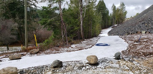
tags kettlecreekstation lanford lake westhills stewyoung constellation hike hill walk cellphone camera goldstream finlayson skirtmountain logging trees housing developments
Goldstream Village, Vancouver Island, BC
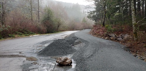
mountwells regional note9 greattrail sookehills galaxy samsung meridian meridianavenue thegreatrail irwinpark irwinroad humpback humpbackreservoir viewranger gps bicycle cycling westhillspark norco westhills langford trails westshore transcanadatrail tct ggt tgt crd capitalregionaldistrict stewyoung vancouverisland cellphone
Correct Me If I'm Wrong
tags mountwells regional note9 greattrail sookehills galaxy samsung meridian meridianavenue thegreatrail irwinpark irwinroad humpback humpbackreservoir viewranger gps bicycle cycling westhillspark norco westhills langford trails westshore transcanadatrail tct ggt tgt crd capitalregionaldistrict stewyoung vancouverisland cellphone
The (New) Great Trail on Vancouver Island
kettlecreekstation lake westhills stewyoung constellation hike hill walk cellphone camera goldstream finlayson skirtmountain logging trees housing developments langford
Langford BC Views from West Hills Development Site
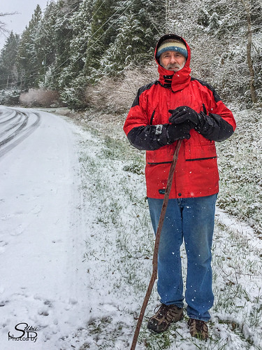
100strangers britishcolumbia portrait snow vancouverisland
John (11/100)
100strangers britishcolumbia dogs metchosin thehumanfamily vancouverisland wittyslagoon hiking victoria
Shannon & Angus (13/100)
watercolour sooke olympicmountains pleinair viewfromrocksatgordonbeach
Sooke - from Gordon's Beach
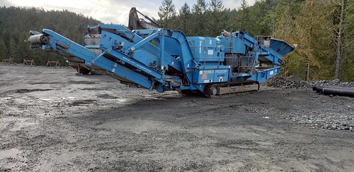
kettlecreekstation langford lake westhills stewyoung constellation hike hill walk cellphone camera goldstream finlayson skirtmountain logging trees housing developments humpback reservoir constellationmeridian irwin rock crusher powerscreen automax hopper cone terexpegsoncom
Rock Crusher
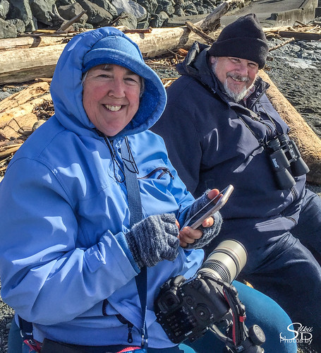
100strangers britishcolumbia cloverpointpark thehumanfamily vancouverisland victoria
Sheree & Dave (12/100)
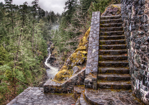
park wood old travel mountain plant canada color tree green heritage history nature water rock stone mystery architecture stairs rural creek forest vintage river way landscape outside stair track natural outdoor hiking path antique britishcolumbia background scenic dramatic nobody hike structure stairway adventure foliage direction trail step staircase walkway destination wilderness pathway sooke sookepotholesprovincialpark
Stone Stairs To Nowhere
ironminebay eastsookepark vancouverisland britishcolumbia canada bc beach
2009-08-17_11-56-30 Beach at Iron Mine Bay
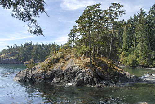
2009-08-17_12-22-34 Islet
ironminebay eastsookepark vancouverisland britishcolumbia canada bc
2009-08-17_12-10-20 Iron Mine Bay
eastsookepark vancouverisland britishcolumbia canada bc
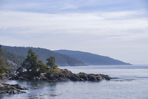
2009-08-17_12-36-08 East Sooke Park
beach ironminebay eastsookepark vancouverisland britishcolumbia canada bc
2009-08-17_11-54-18 Iron Mine Bay
ironminebay eastsookepark vancouverisland britishcolumbia canada bc
2009-08-17_11-57-24 East Sooke Park
eastsookepark vancouverisland britishcolumbia canada bc
2009-08-17_13-02-24 East Sooke Park
ocean sand waves britishcolumbia pebbles vancouverisland shirley sooke frenchbeach
At The Beach.... Explore
sooke harbour house victoria bc british columbia canada west coast vancouver island marriage anniversary clouds blue sky ocean juan de fuca
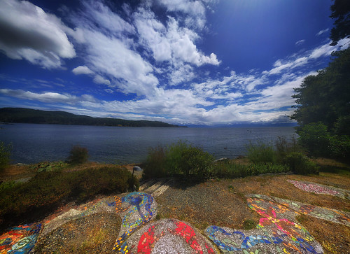
The Mosaic
2018 august bc britishcolumbia canada canon6d island pacific vancouverisland backlit canon70200f4l clear day evening goldenhour green landscape light nature nicelight ocean outdoor outside seashore shore summer sunset sunsetlight telephoto texture travel trees wallpaper
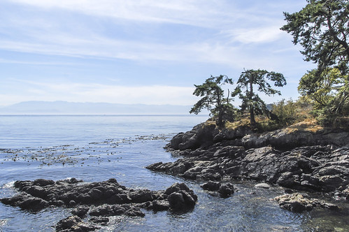
East Sooke Shore
color colour frozen green ice icicle season slowshutter snow water waterfall winter
Winter Stream
eastsookepark vancouverisland britishcolumbia canada bc
2009-08-17_12-35-00 Coastal Trail
beach ironminebay eastsookepark vancouverisland britishcolumbia canada driftwood bc
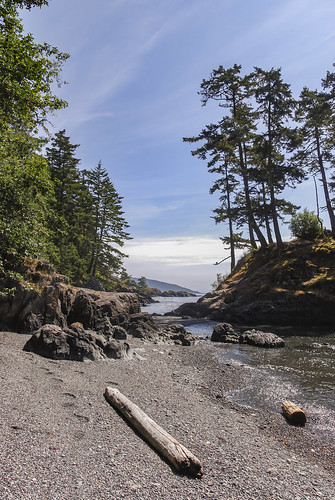
2009-08-17_11-50-02 Iron Mine Bay
beach ironminebay eastsookepark vancouverisland britishcolumbia canada bc
2009-08-17_11-52-16 Iron Mine Bay
ironminebay eastsookepark vancouverisland britishcolumbia canada bc
2009-08-17_12-00-16 Iron Mine Bay
eastsookepark vancouverisland britishcolumbia bc canada ironminebay ocean beach
2009-08-17_11-48-00 Iron Mine Bay
ironminebay eastsookepark vancouverisland britishcolumbia canada bc
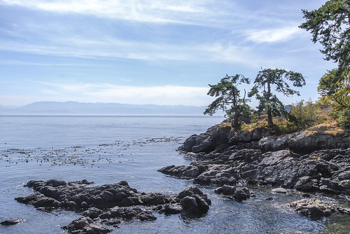
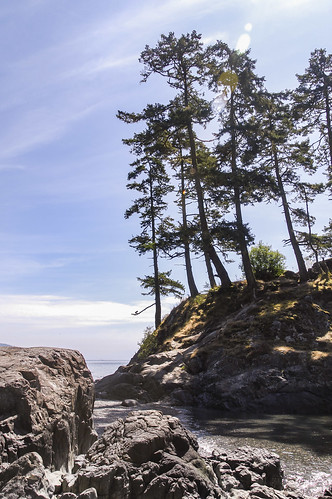
2009-08-17_12-17-48 Rocky Coast
ironminebay eastsookepark vancouverisland britishcolumbia canada bc
2009-08-17_11-58-42 East Sooke Park
ironminebay eastsookepark vancouverisland britishcolumbia canada bc
2009-08-17_12-22-12 East Sooke Park
canada green moss rainforest stream bc d610 temperaterainforest
West Coast Rainforest
longexposure green fall nature water rock river flow grey rocks soft exposure bc britishcolumbia smooth rocky structure falls vancouverisland even remote sooke sookeriver lexp
Even Flow, Sooke River, Vancouver Island, BC, Canada