Elevation map of Granite County, MT, USA
Location: United States > Montana >
Longitude: -113.46478
Latitude: 46.3374643
Elevation: 1665m / 5463feet
Barometric Pressure: 83KPa
Elevation Map:
Satellite Map:
Related Photos:

My Steamer...............I don't drink coffee
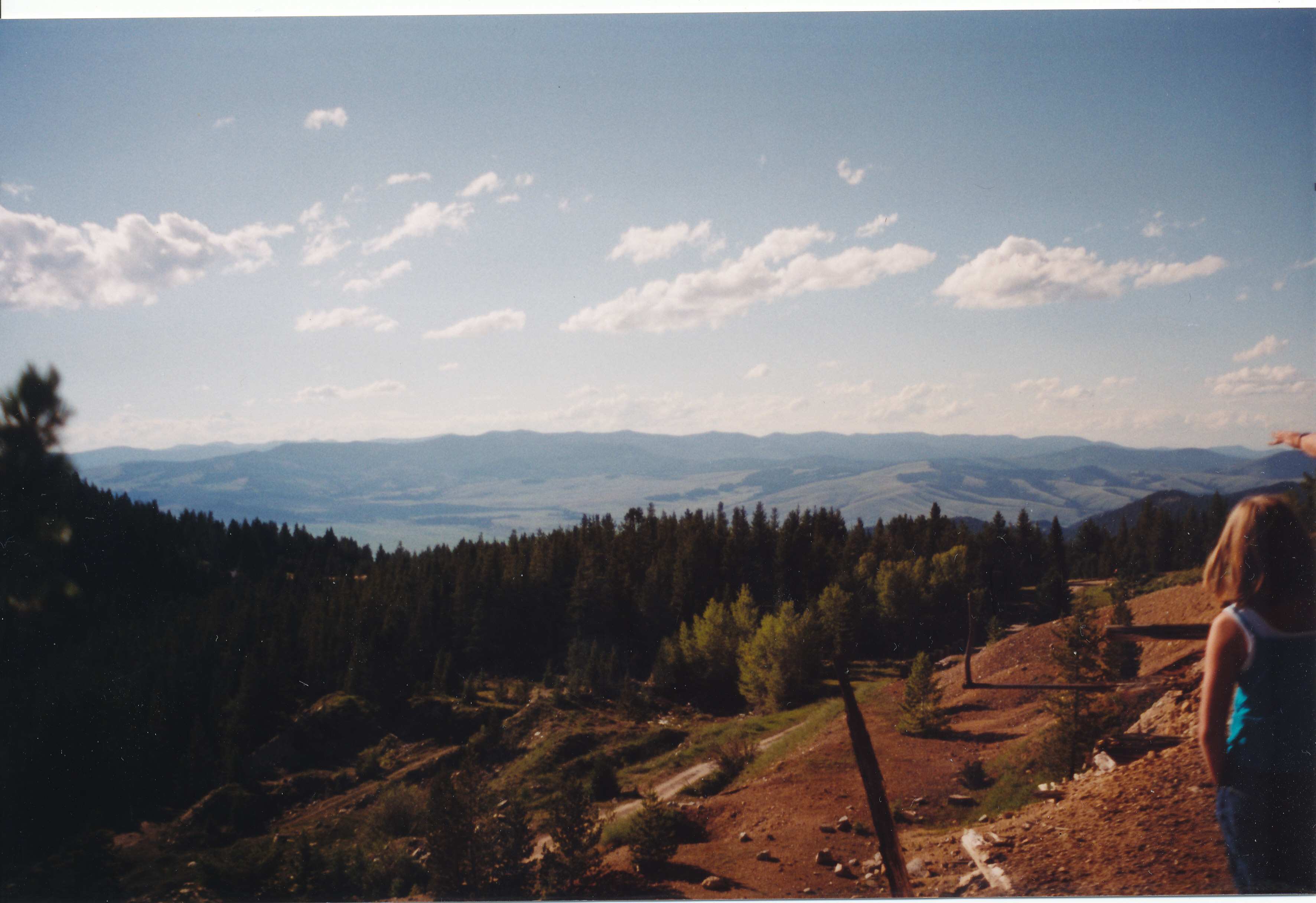
View from the Mine
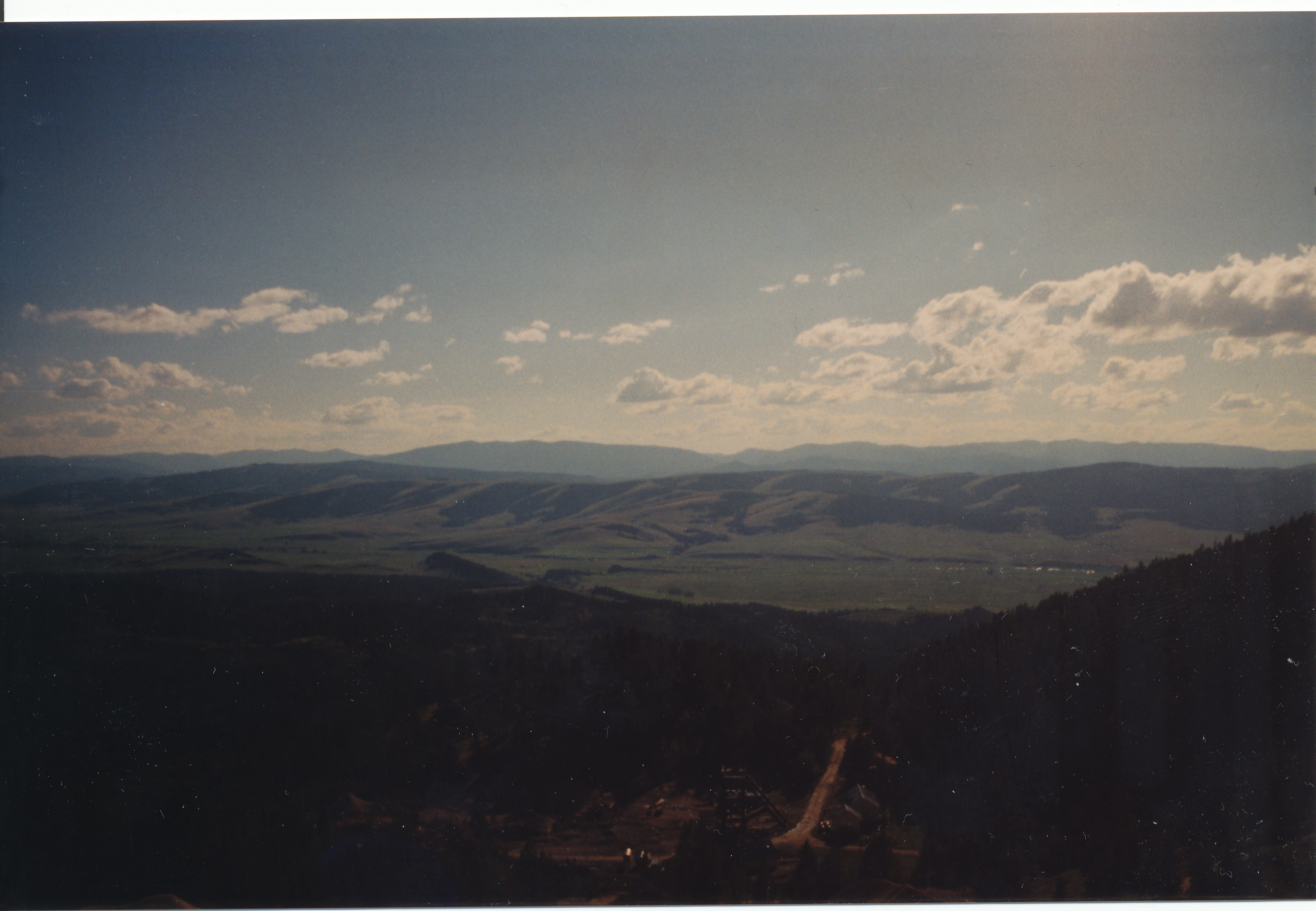
View from the Mine

View from Granite
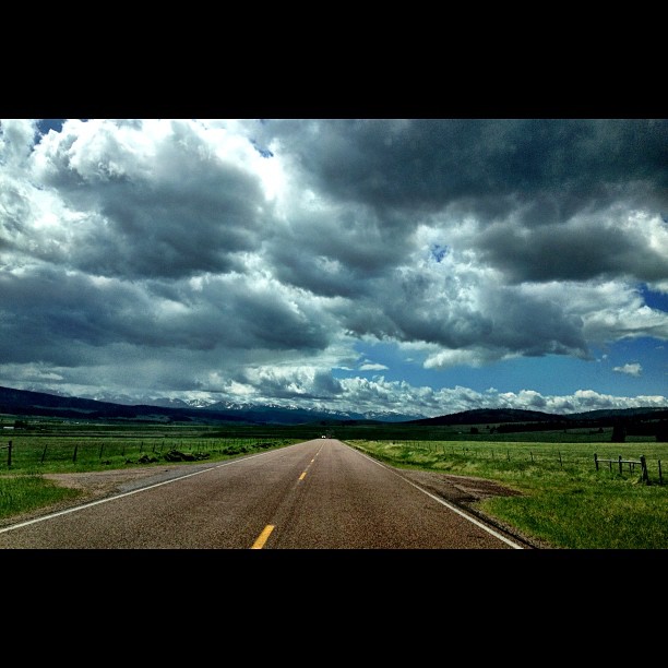
Clouds are so beautiful here! #montana #bigsky #roadtrip
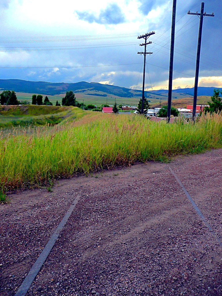
Rails to Nowhere
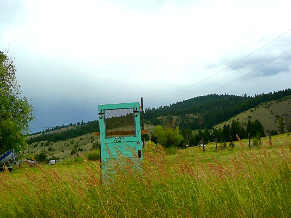
Door #421
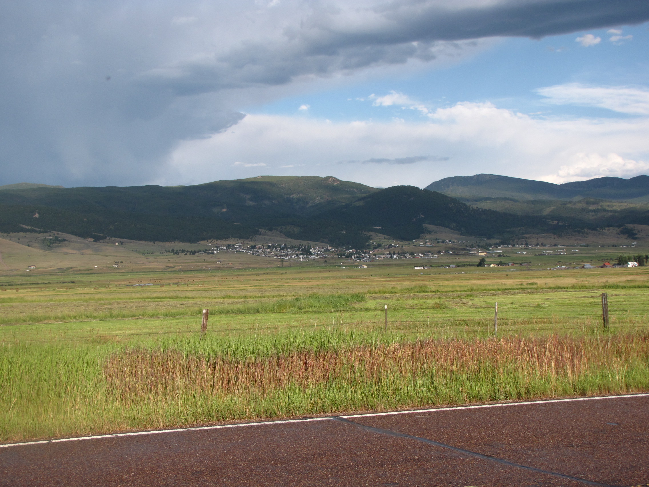
Dissipating storm over Phillipsburg MT

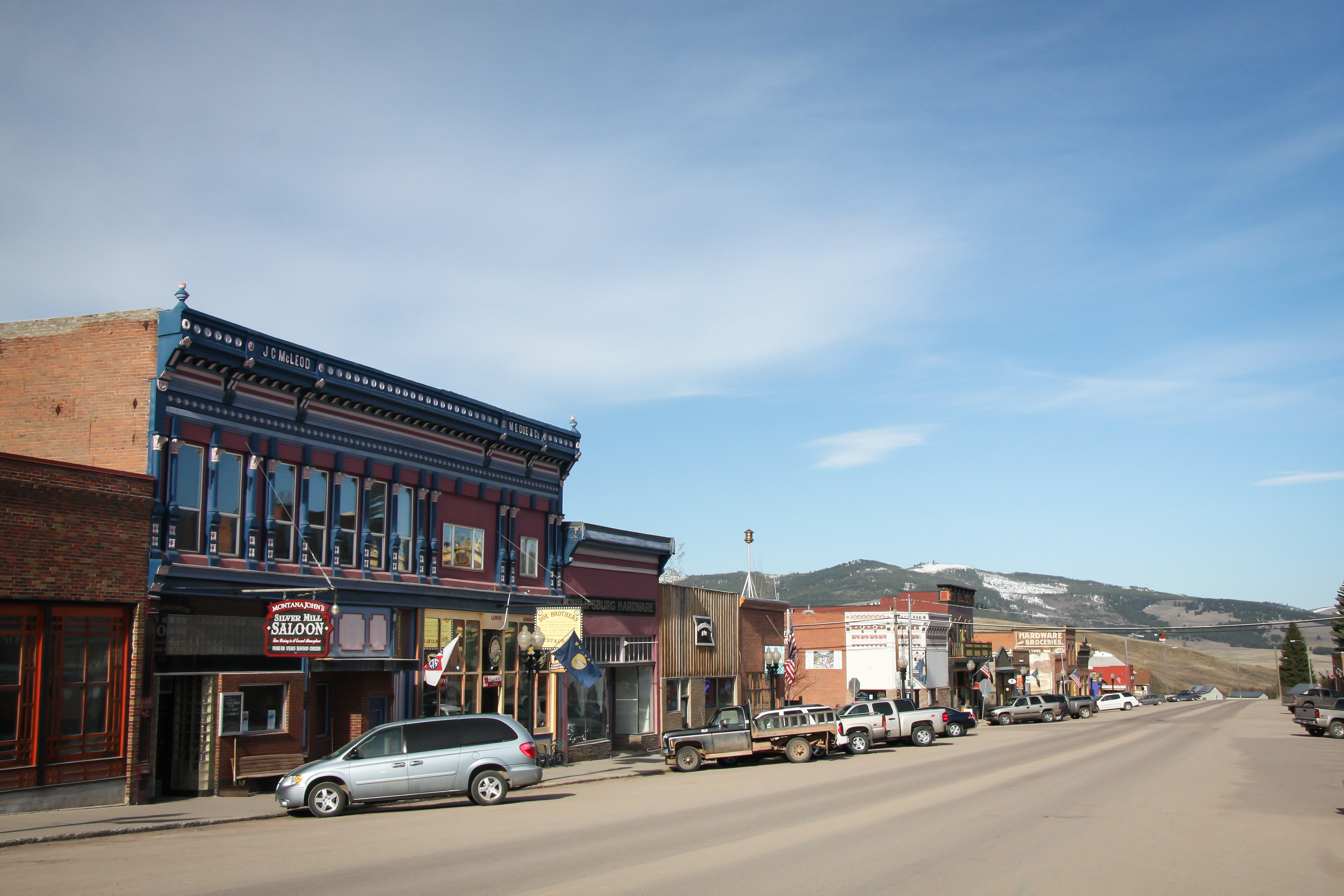
Philipsburg FTW
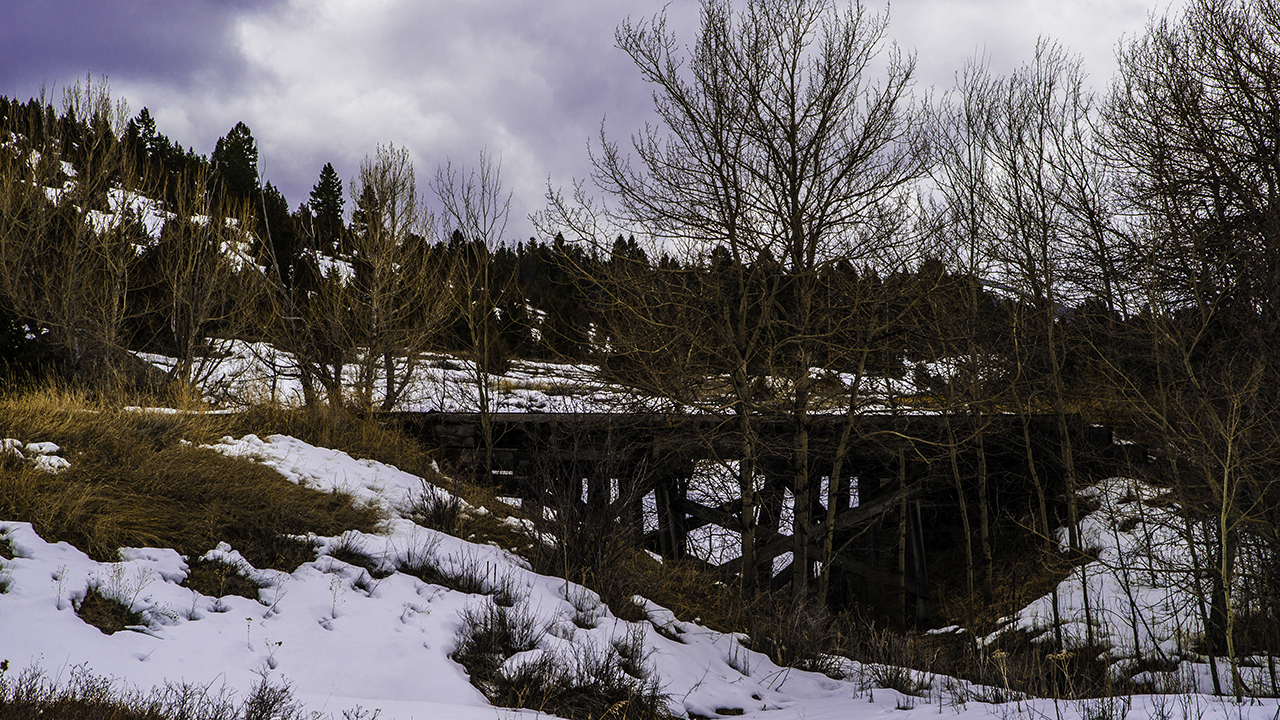
Abandoned RR bridge
Earth Day 2009 - Pburg 06.jpg

Ruby Shaft Earth Works
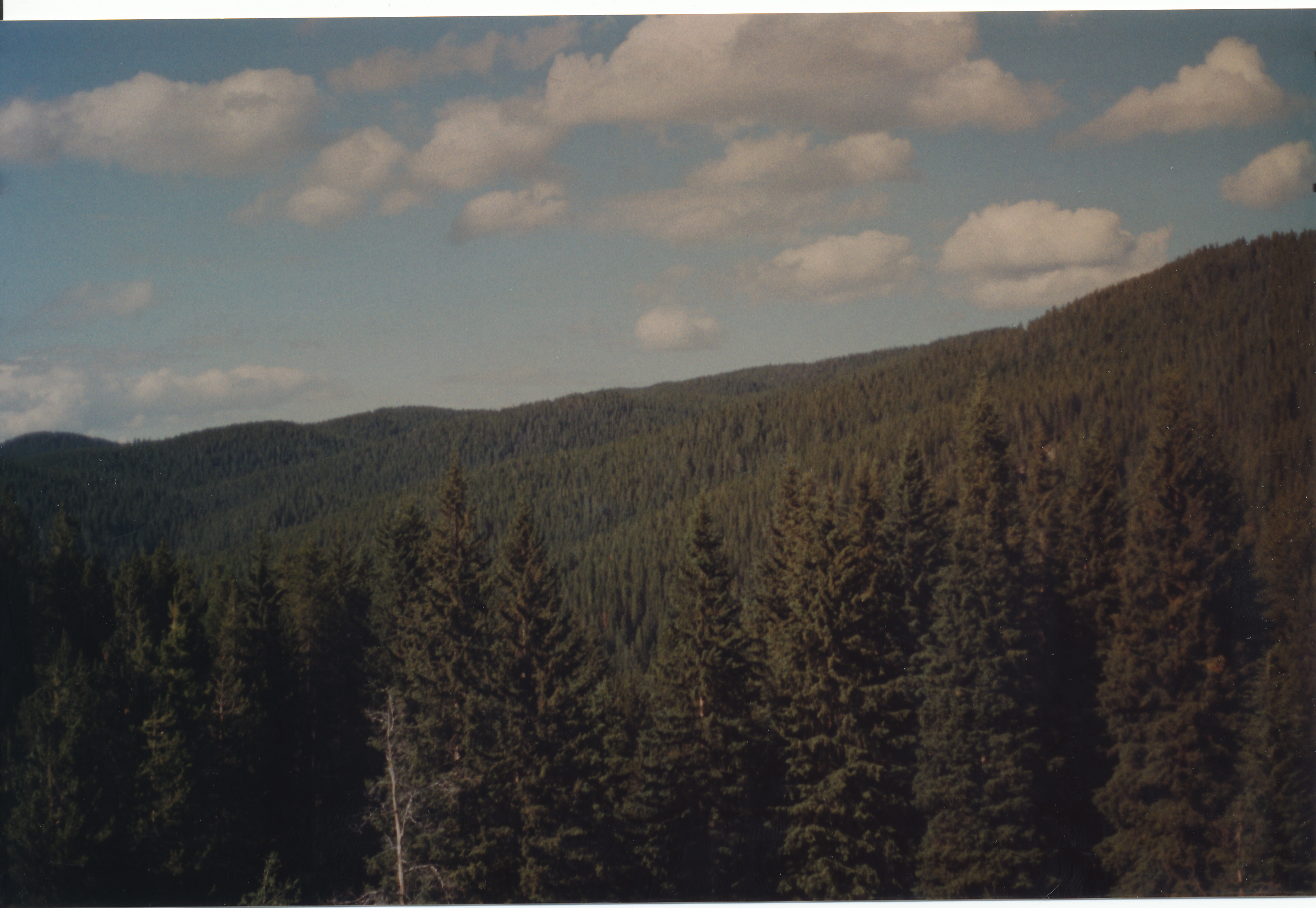
Trees Forever
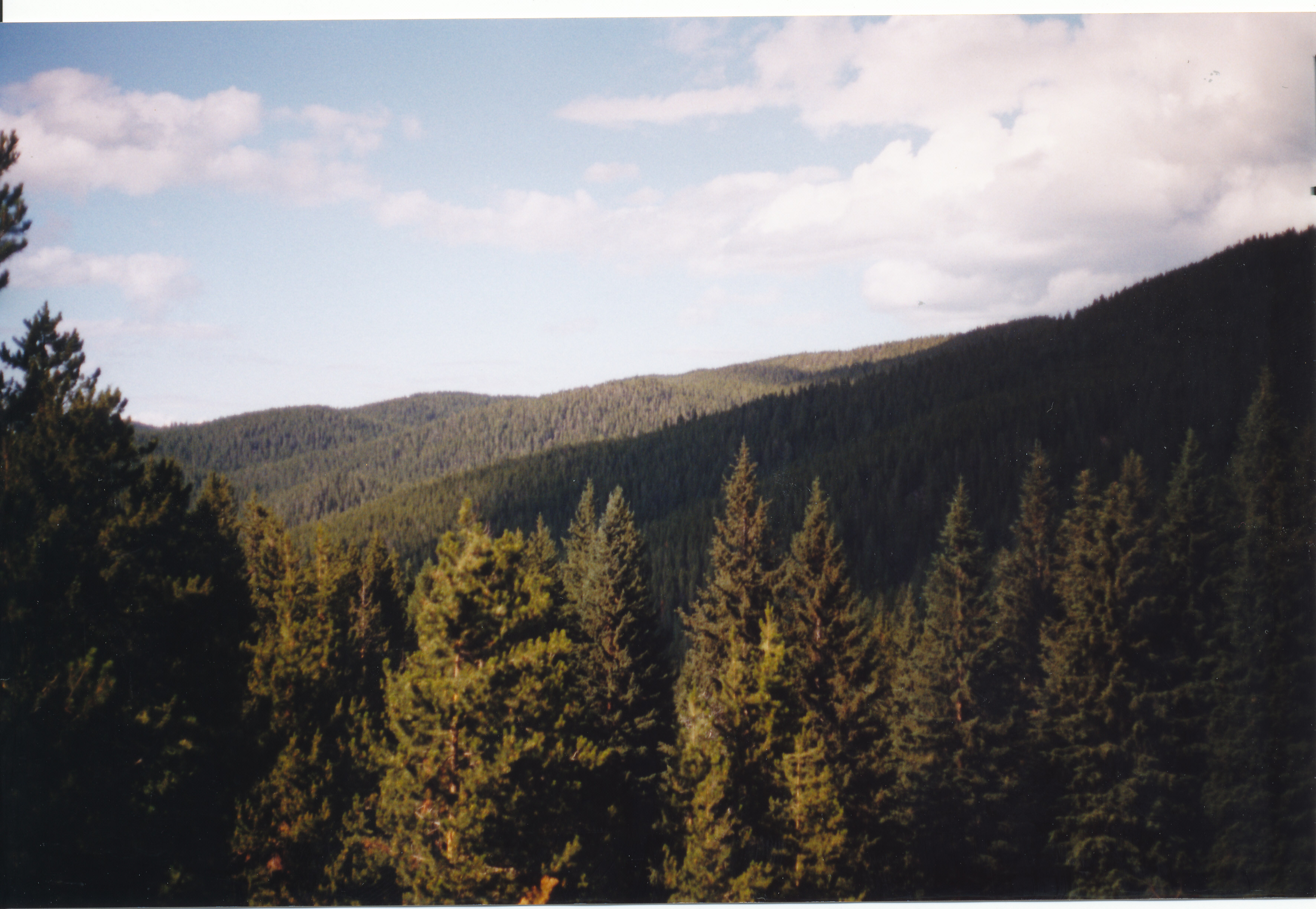
Trees Forever
Topographic Map of Granite County, MT, USA
Find elevation by address:

Places in Granite County, MT, USA:
Places near Granite County, MT, USA:
23 Red Tail Ct
The Ranch At Rock Creek
10 Badger Bench Ln
Philipsburg
60 Valley Dr
38 Mountain Moose Rd
14 Elk Ridge Rd
Rumsey Rd, Philipsburg, MT, USA
Rumsey Mountain
Moose Meadows
12 Cameron Ave, Anaconda, MT, USA
Red Lion Mountain
Cable Mountain
1 Common Ground
1 Common Ground Ln
Rainbow Mountain
Grouse Hill
Dora Thorn Ridge
Mount Tiny
Welcome Hill
Recent Searches:
- Elevation of Corso Fratelli Cairoli, 35, Macerata MC, Italy
- Elevation of Tallevast Rd, Sarasota, FL, USA
- Elevation of 4th St E, Sonoma, CA, USA
- Elevation of Black Hollow Rd, Pennsdale, PA, USA
- Elevation of Oakland Ave, Williamsport, PA, USA
- Elevation of Pedrógão Grande, Portugal
- Elevation of Klee Dr, Martinsburg, WV, USA
- Elevation of Via Roma, Pieranica CR, Italy
- Elevation of Tavkvetili Mountain, Georgia
- Elevation of Hartfords Bluff Cir, Mt Pleasant, SC, USA