Elevation of Grand Forks County, ND, USA
Location: United States > North Dakota >
Longitude: -97.359452
Latitude: 48.0037819
Elevation: 262m / 860feet
Barometric Pressure: 98KPa
Elevation Map:
Satellite Map:
Related Photos:
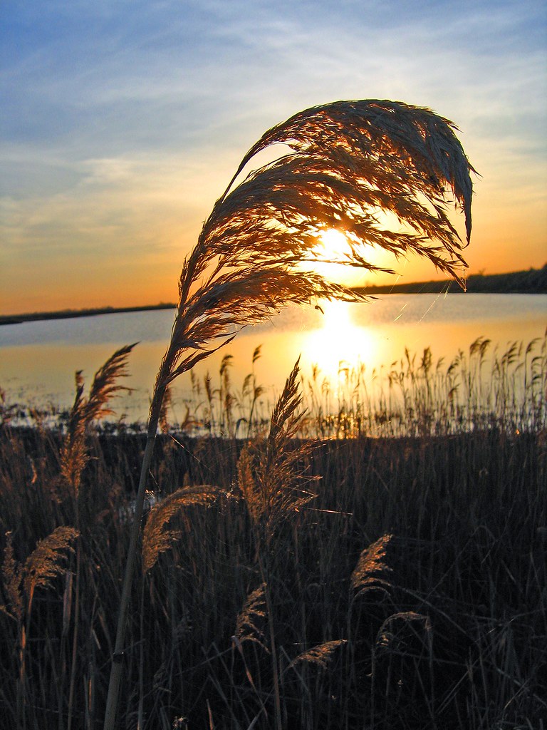
Last Light
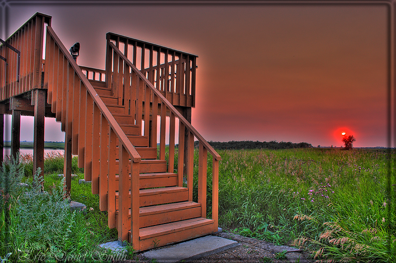
Viewing the sunset
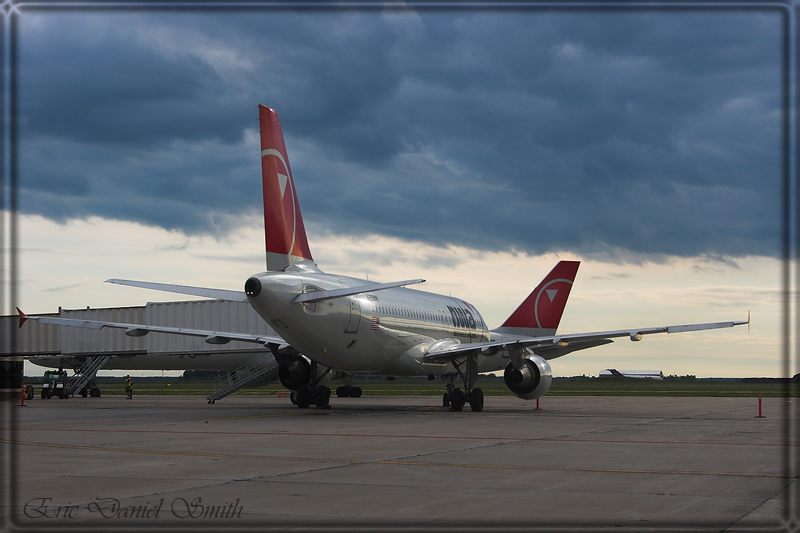
Stuck at the Gate 2

Glassy Twilight
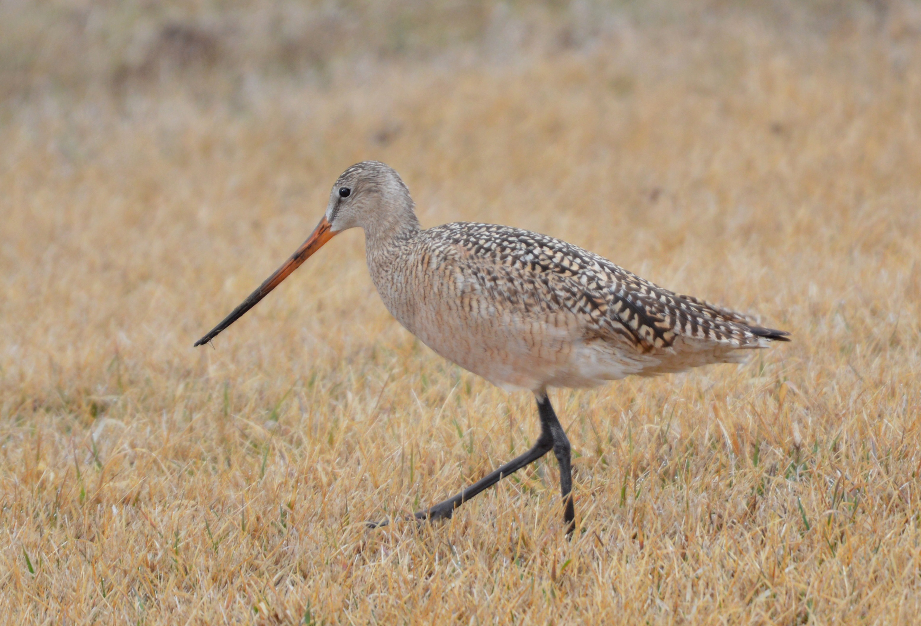
Marbled Godwit

Snowy Owl near KS 032916
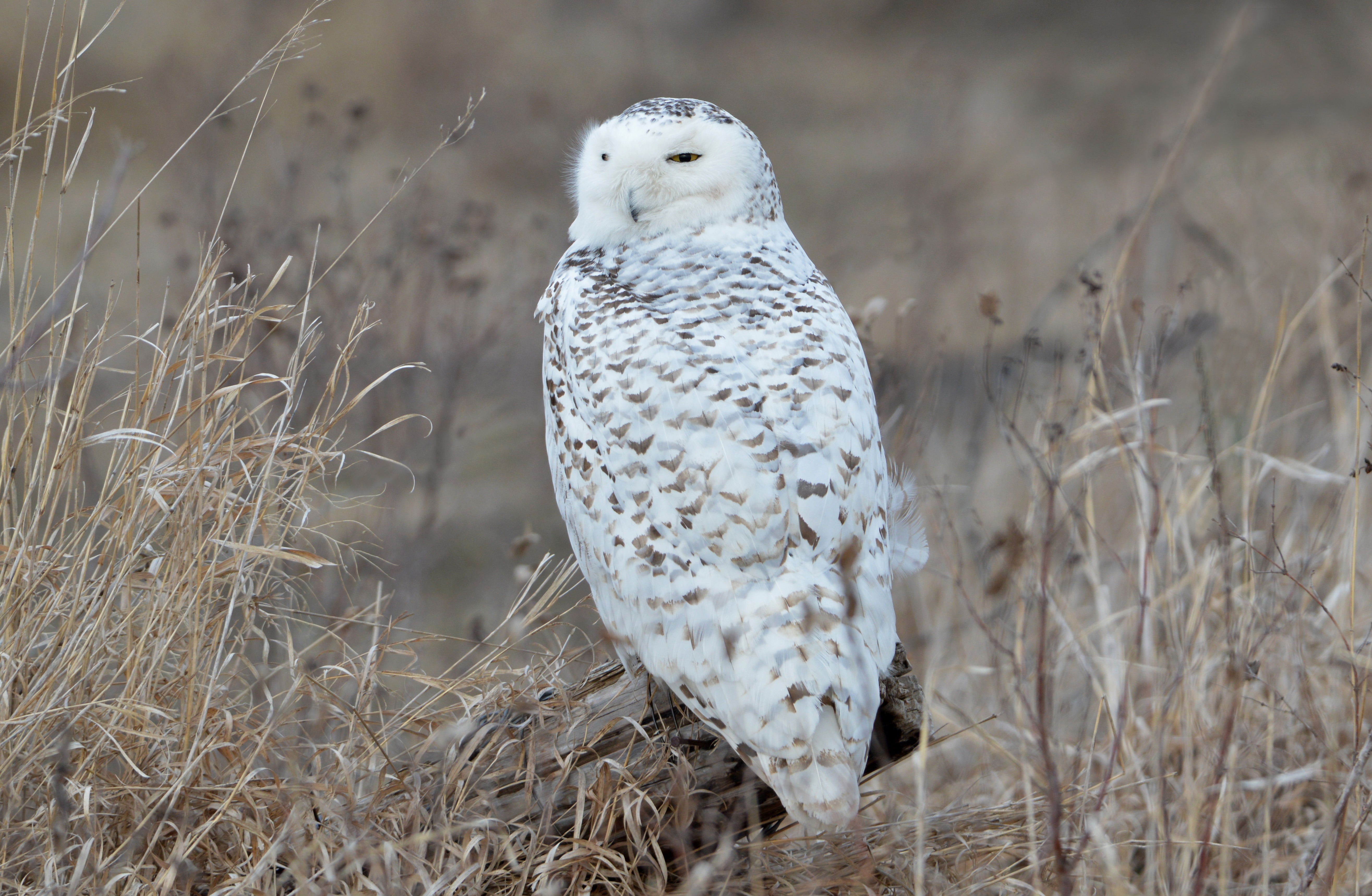
Snowy Owl
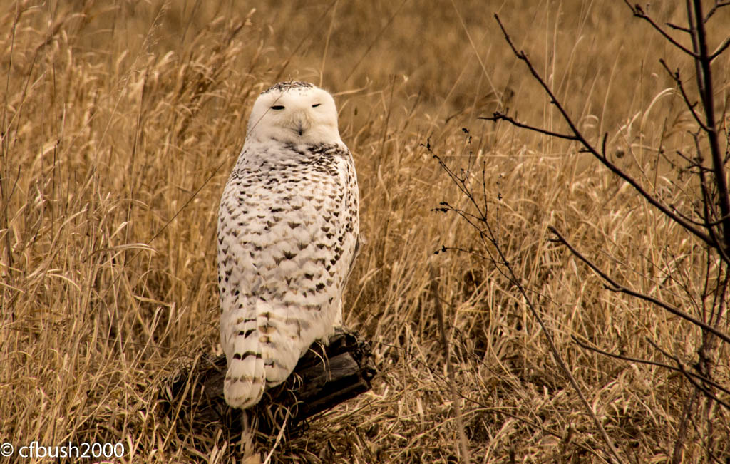
Snowy 1 KS 032916
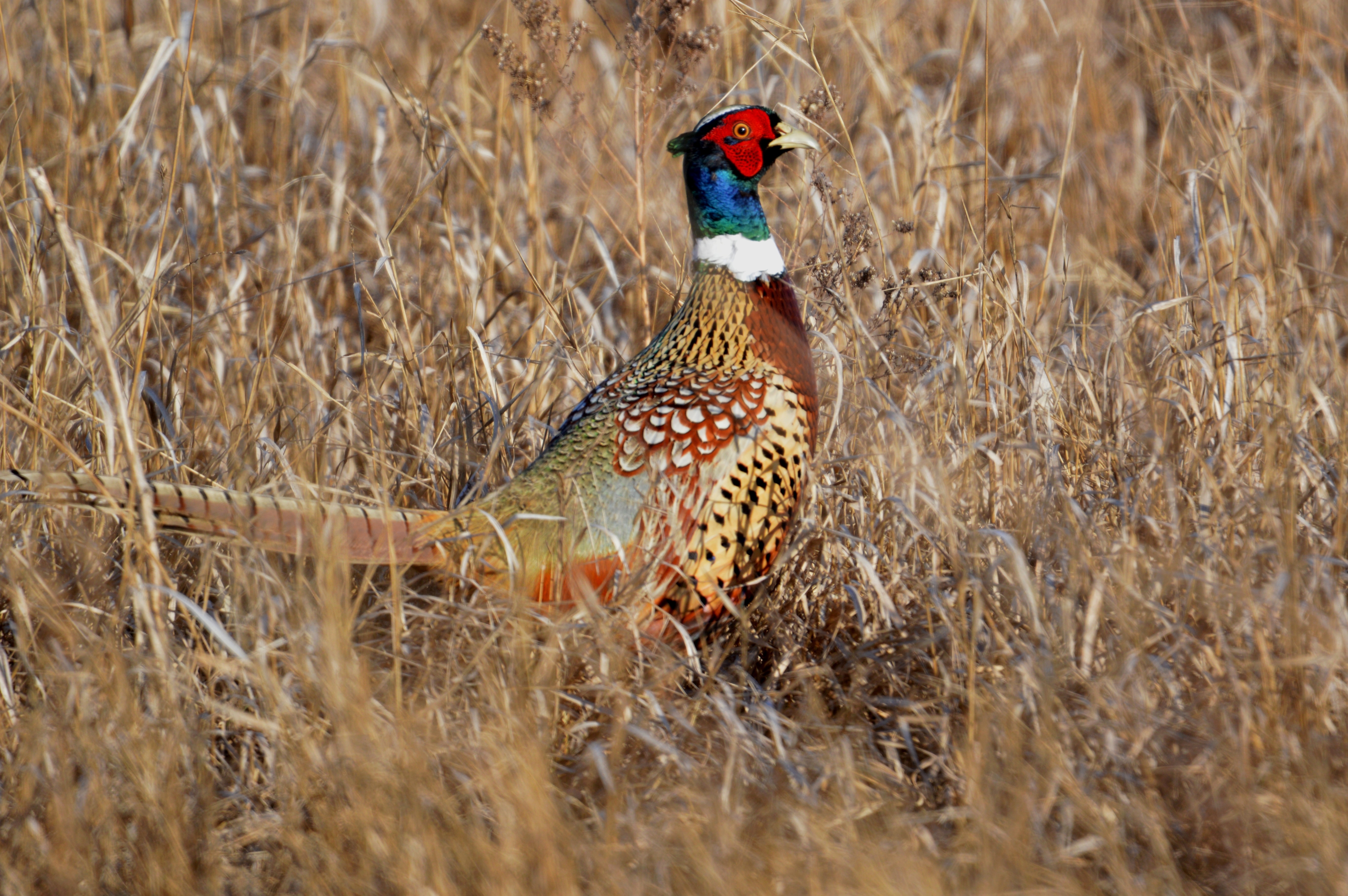
Ring-necked Pheasant

Rough-legged Hawk (J)
Down KS 112015
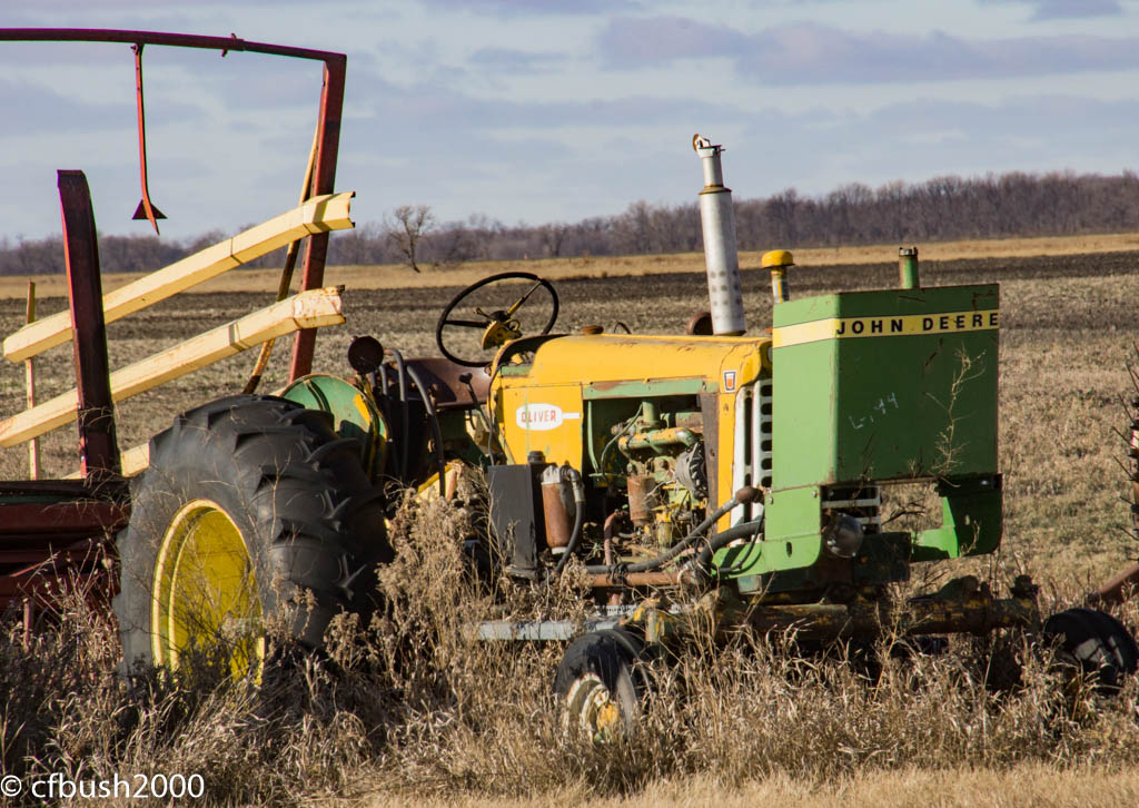
Oliver Tractor KS 112015
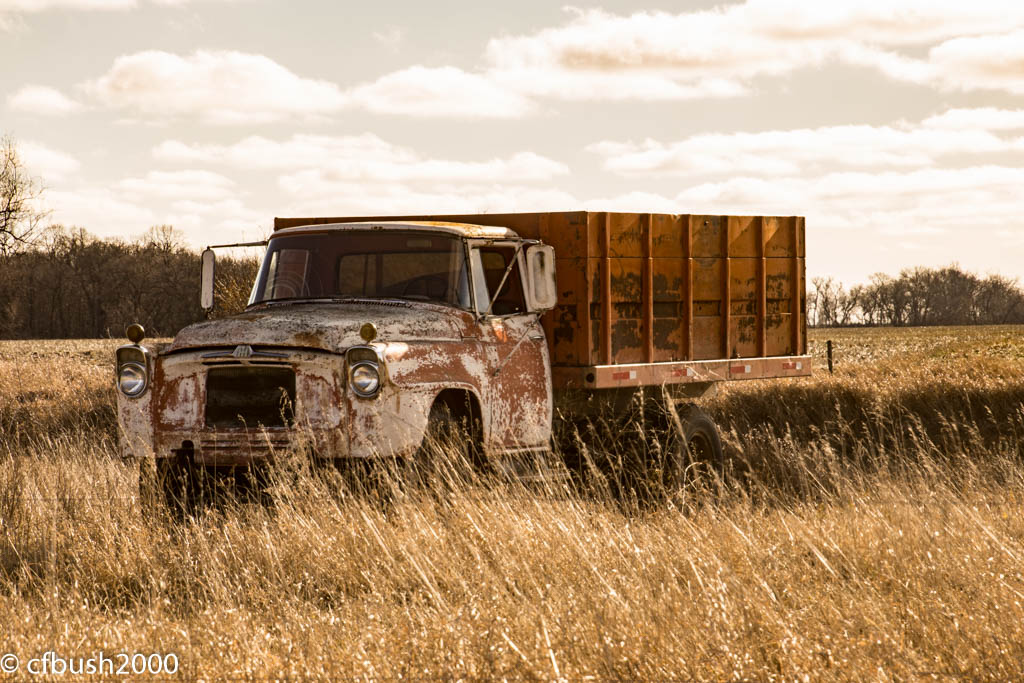
IH Truck M 112015
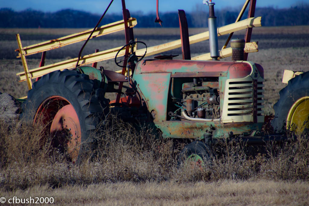
IH Tractor KS 112015
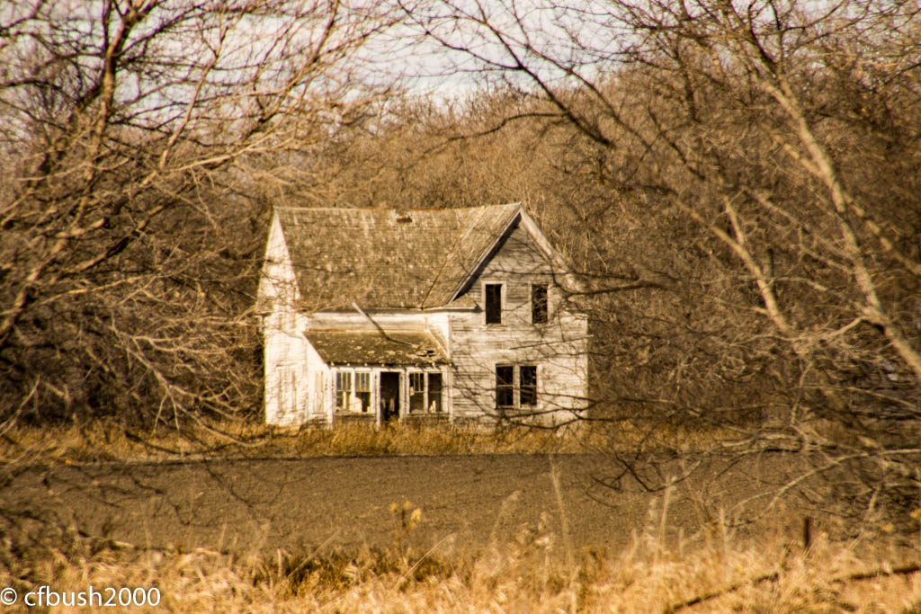
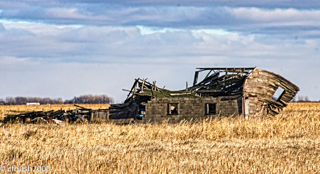
Homeplace M 112015
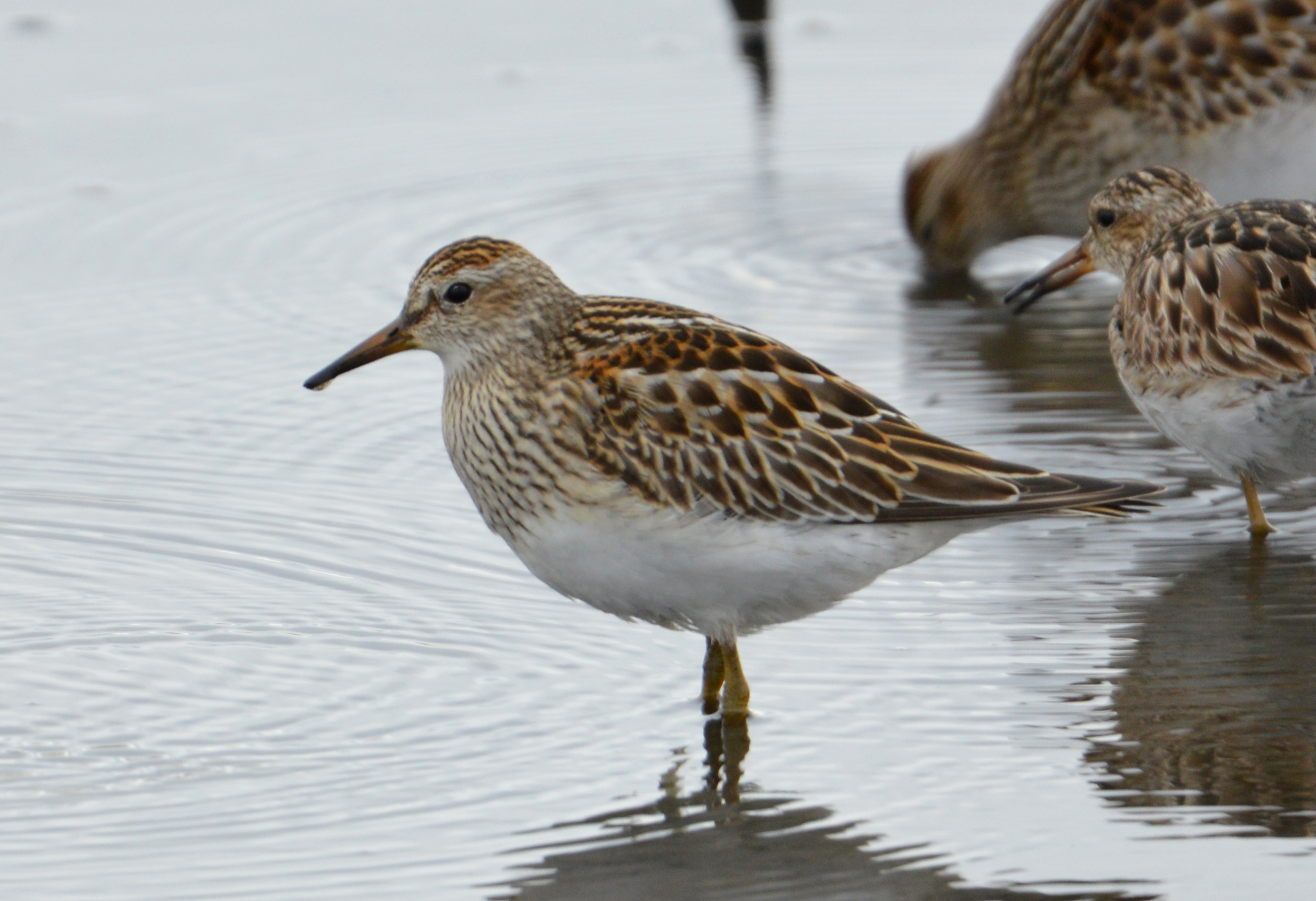
Pectoral Sandpiper
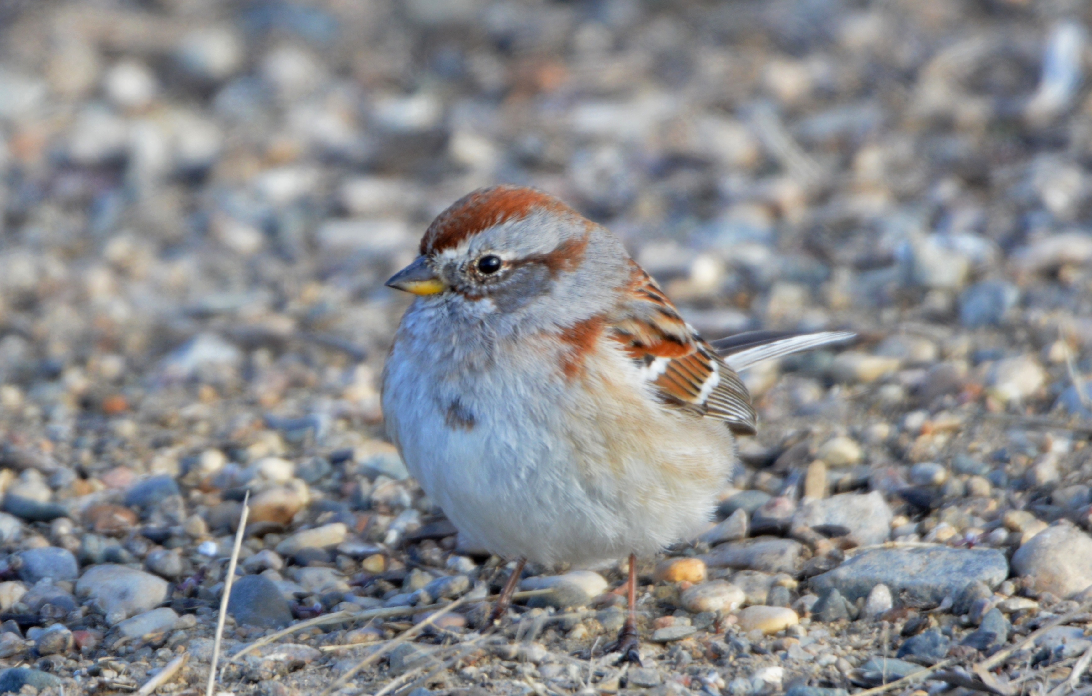
American Tree Sparrow
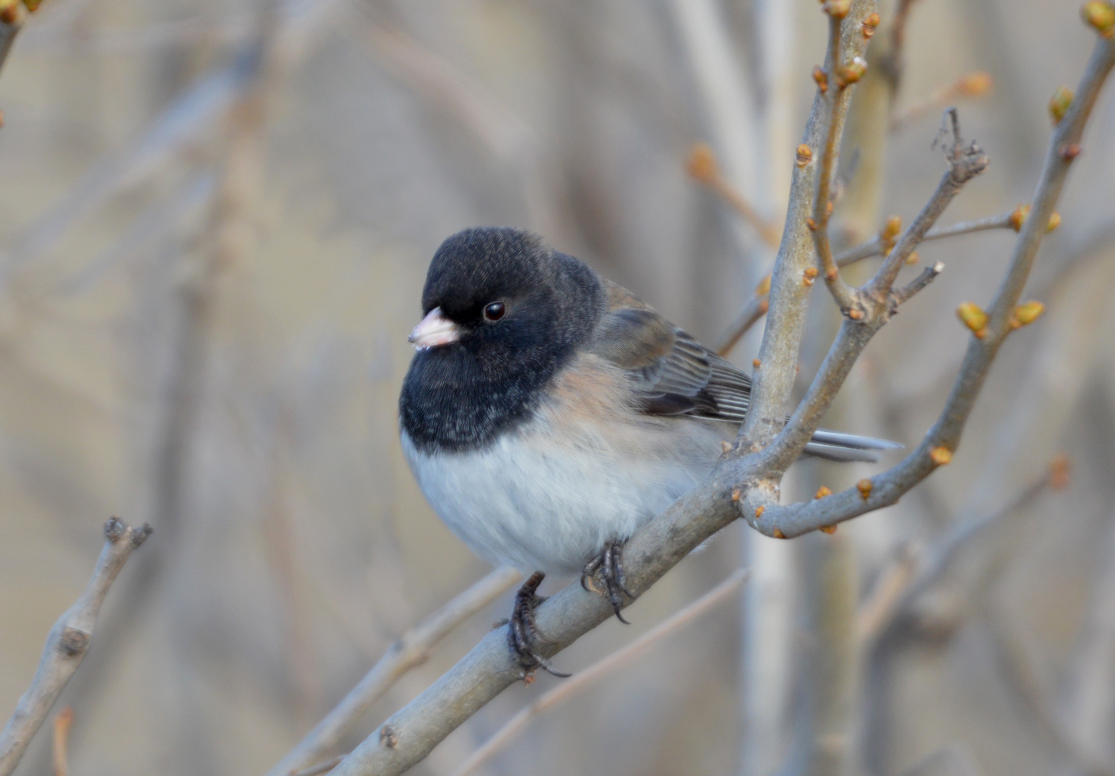
Oregon Junco
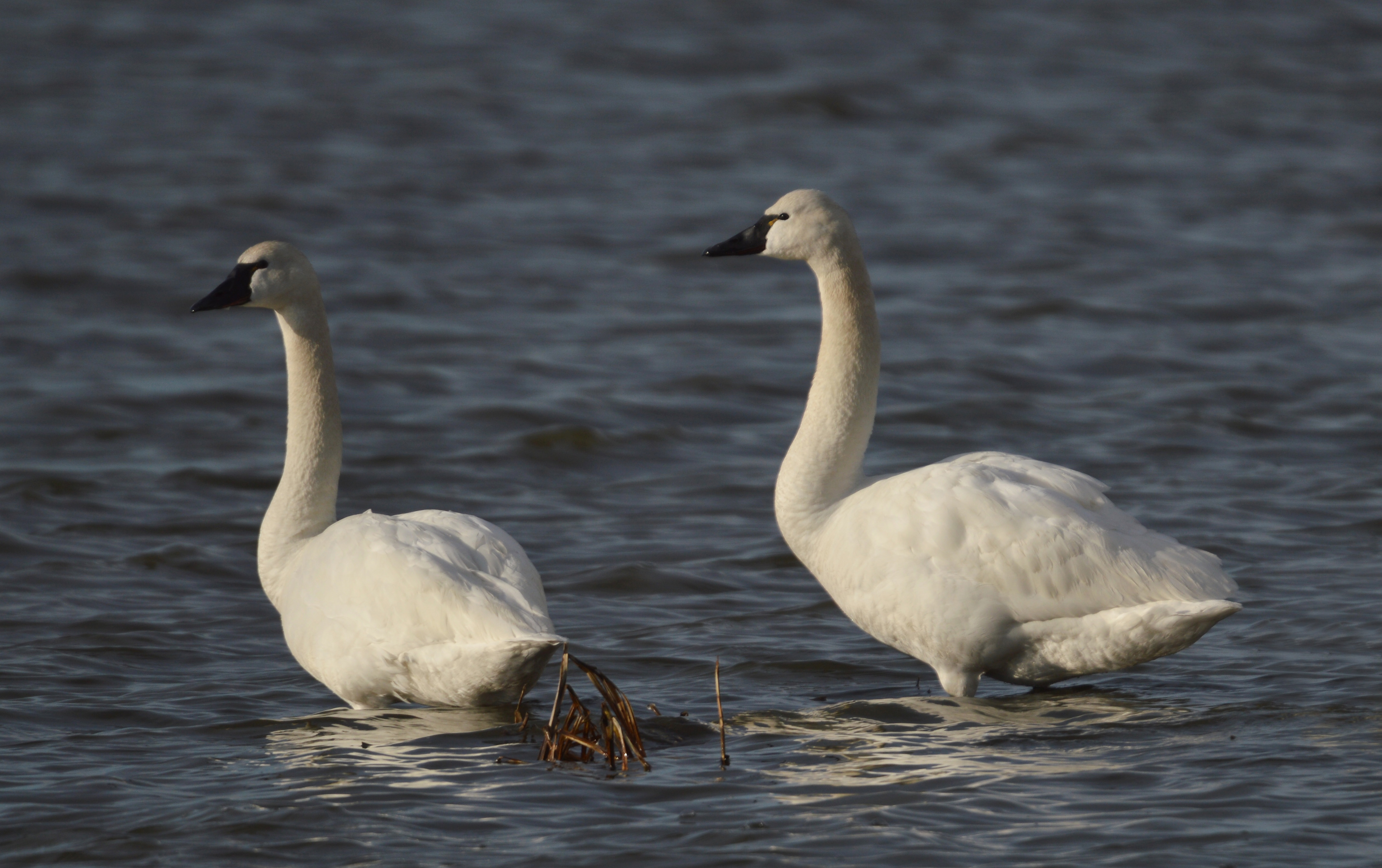
Tundra Swans
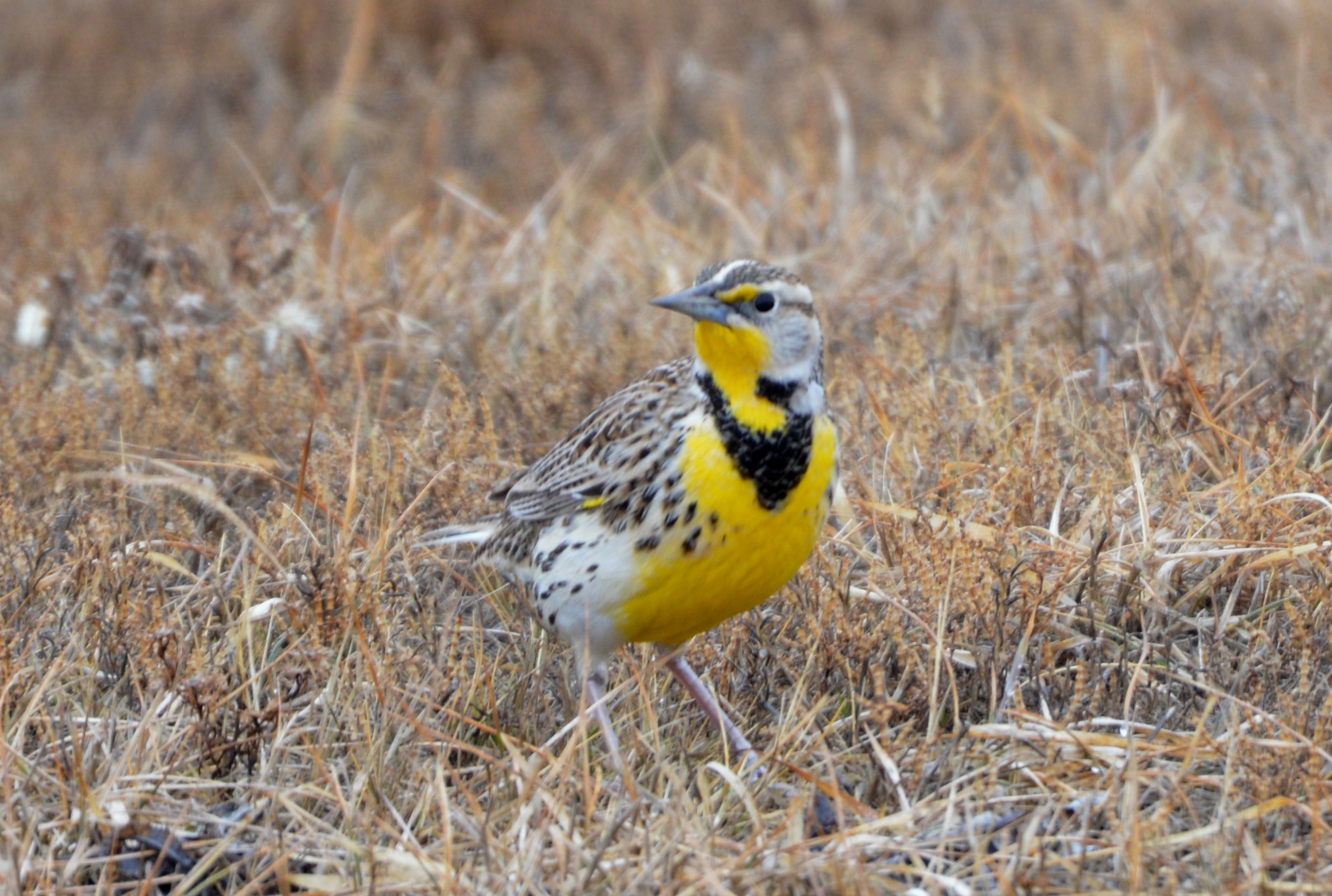
Western Meadowlark
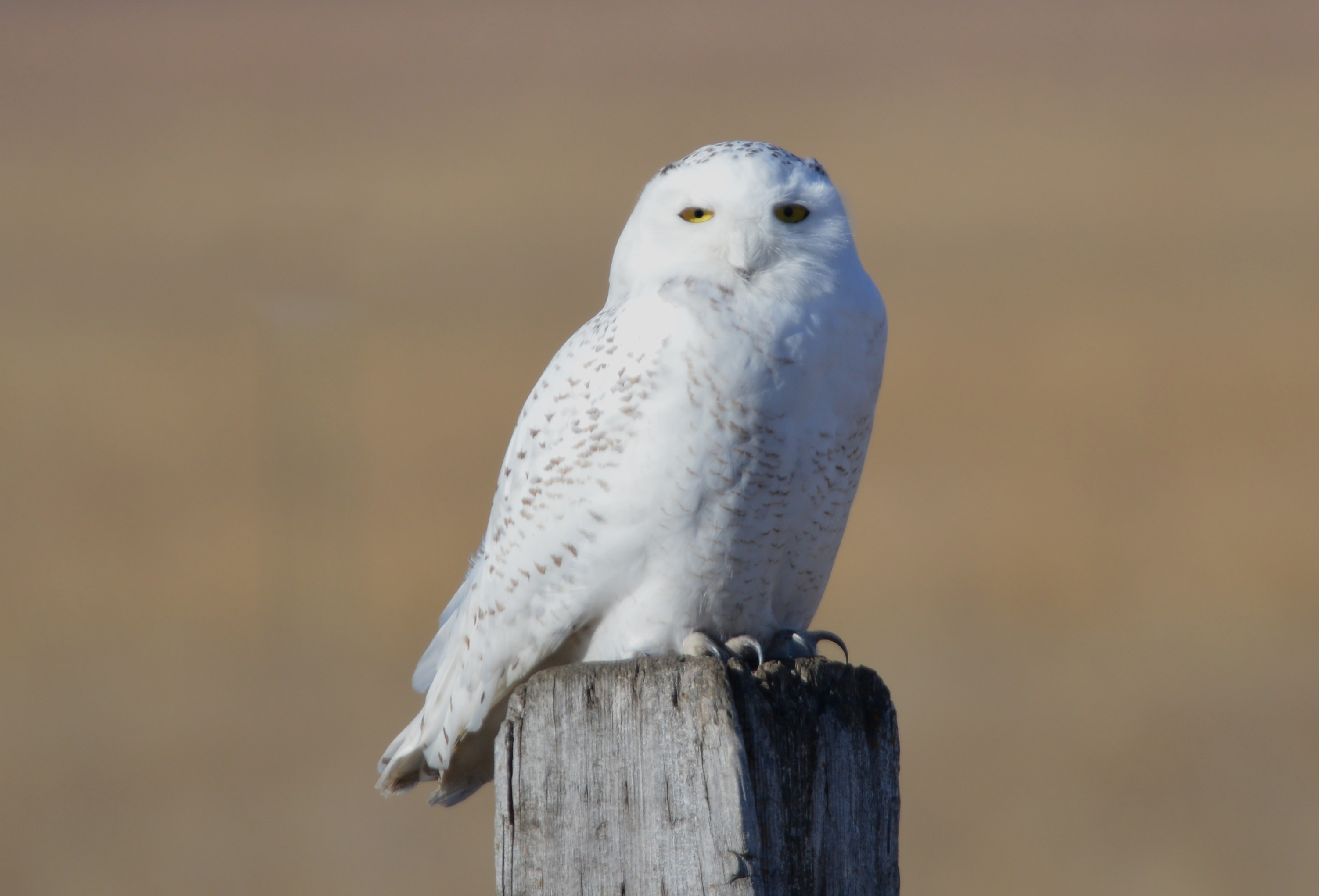
Snowy Owl
WhichWitch A 022316
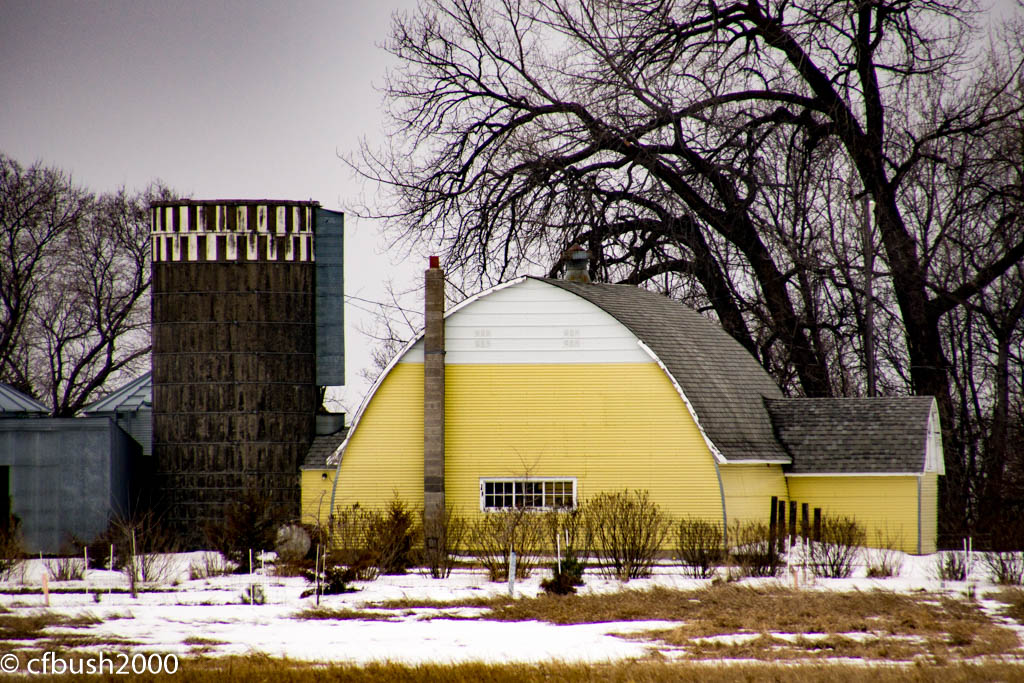
Yellow Barn A 022316
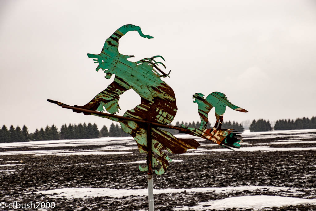
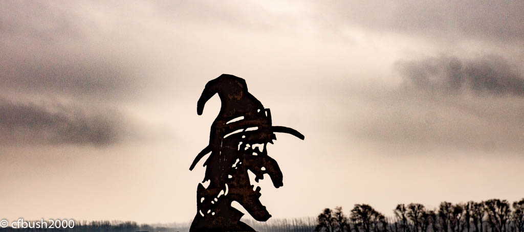
Broomhilda A 022316
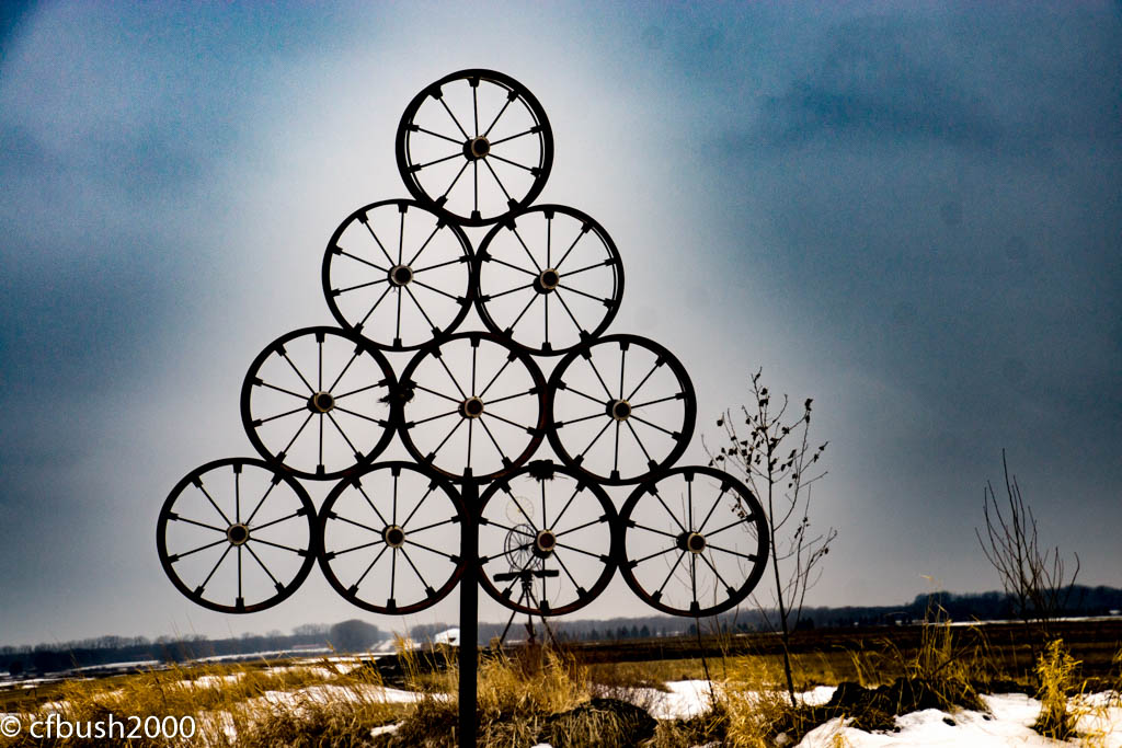
Stack A 022316
Topographic Map of Grand Forks County, ND, USA
Find elevation by address:

Places in Grand Forks County, ND, USA:
Places near Grand Forks County, ND, USA:
4th St, Manvel, ND, USA
Manvel
Brennan Ave, Forest River, ND, USA
North 58th Street
10th Ave S, Grand Forks, ND, USA
2611 N 42nd St
North 42nd Street
984 15th St Ne
750 S 43rd St
Larimore
3387 Longbow Ct
University Of North Dakota
811 Raindale Ct
South 42nd Street
Oslo
Ralph Engelstad Arena
Marshall St, Oslo, MN, USA
65th Avenue North
2700 S 34th St
Sakura Japanese Steakhouse
Recent Searches:
- Elevation of Corso Fratelli Cairoli, 35, Macerata MC, Italy
- Elevation of Tallevast Rd, Sarasota, FL, USA
- Elevation of 4th St E, Sonoma, CA, USA
- Elevation of Black Hollow Rd, Pennsdale, PA, USA
- Elevation of Oakland Ave, Williamsport, PA, USA
- Elevation of Pedrógão Grande, Portugal
- Elevation of Klee Dr, Martinsburg, WV, USA
- Elevation of Via Roma, Pieranica CR, Italy
- Elevation of Tavkvetili Mountain, Georgia
- Elevation of Hartfords Bluff Cir, Mt Pleasant, SC, USA