Elevation of Granby, CT, USA
Location: United States > Connecticut > Hartford County >
Longitude: -72.788770
Latitude: 41.9540614
Elevation: 66m / 217feet
Barometric Pressure: 101KPa
Elevation Map:
Satellite Map:
Related Photos:

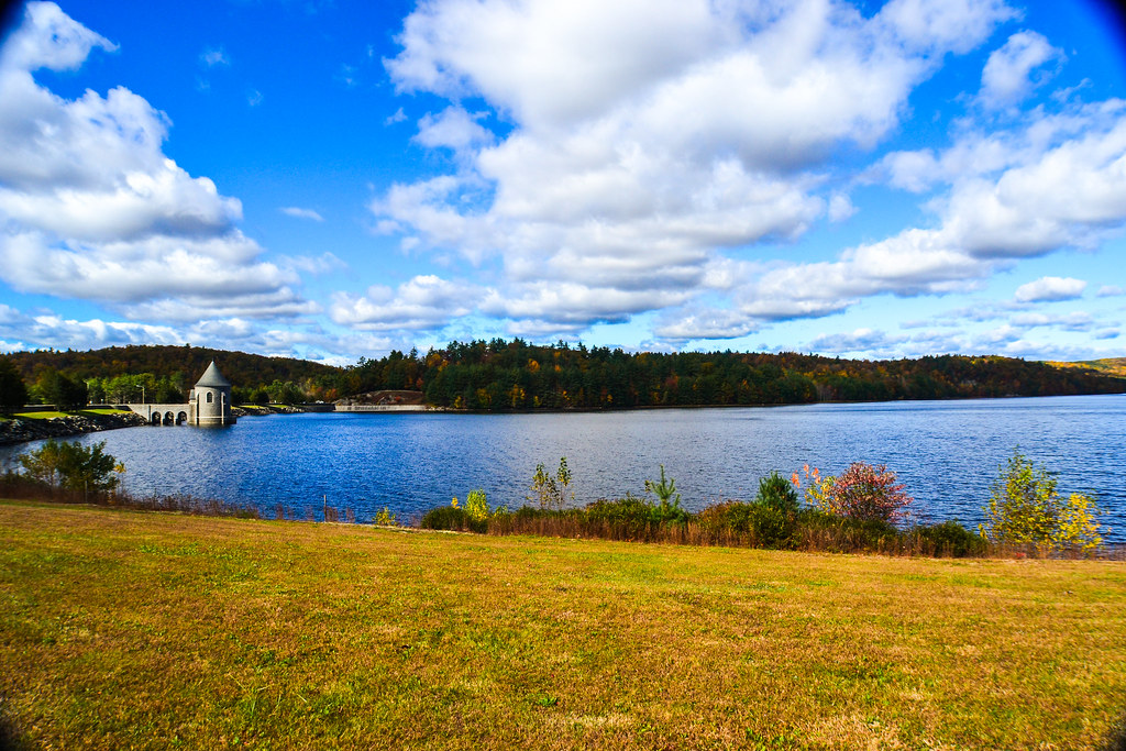
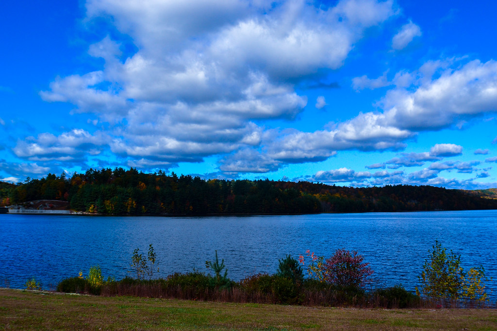
Saville Dam 2/Barkhamsted Reservoir - Barkhamsted, Connecticut - 1,000 Views and thanks to everyone!!! Special thanks in a comment on page 8.

Goodyear ZNPK-28 Blimp Control Car

Mushroom Heaven
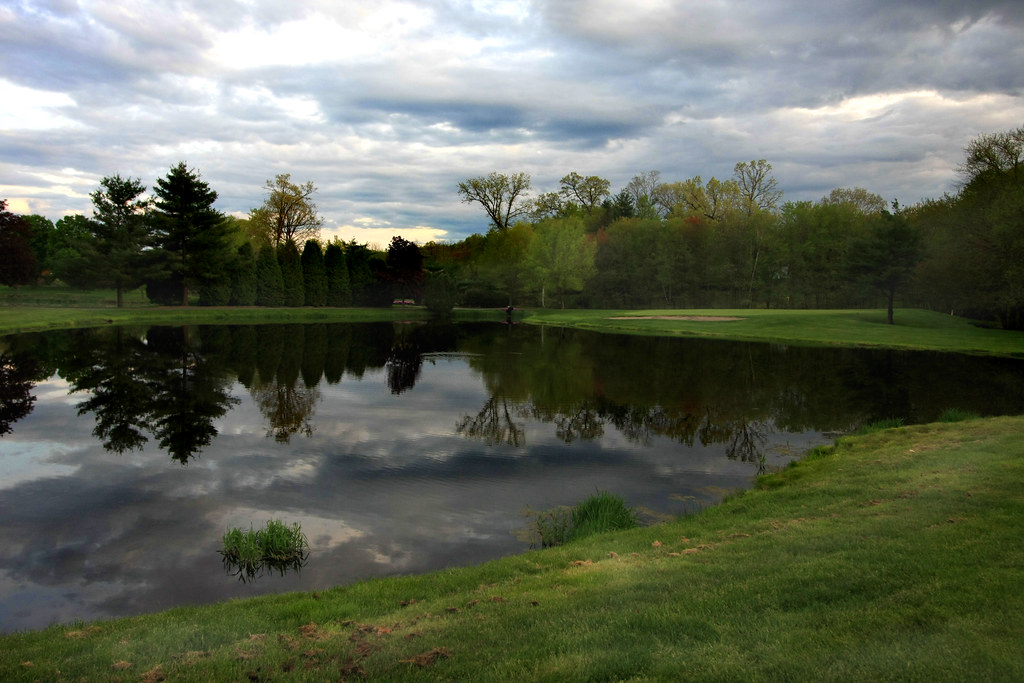
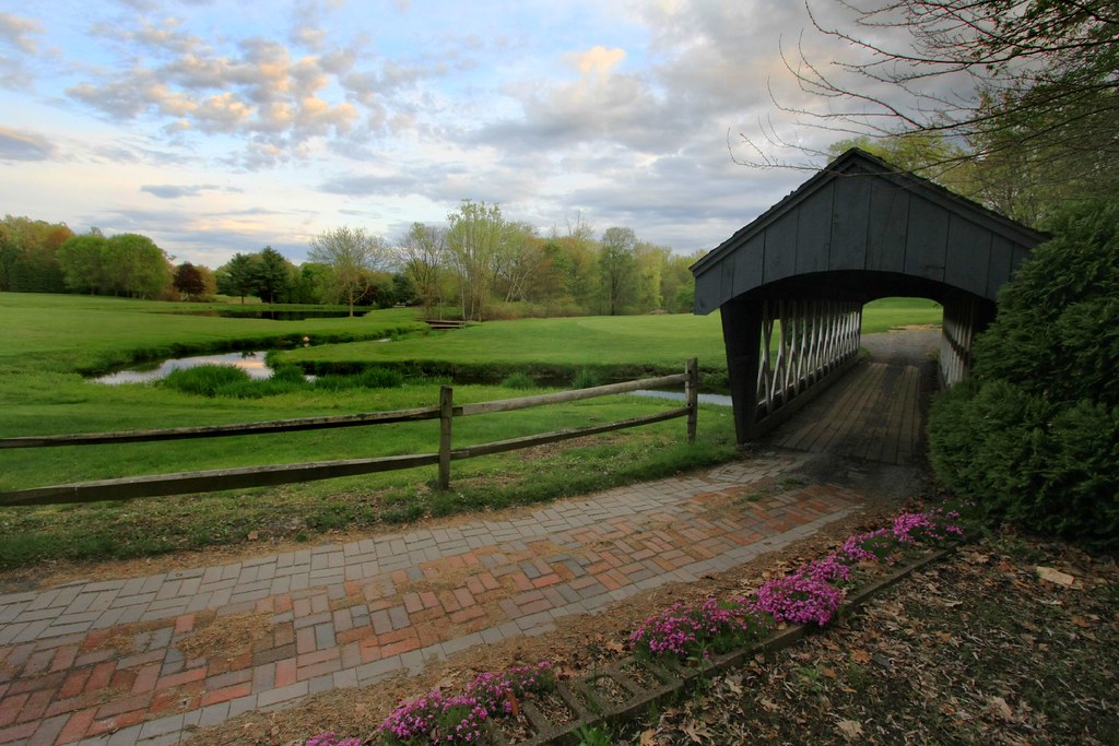
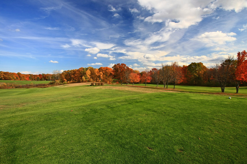
Dusk on the Course
Cemetery view
OctoberStorm2011.jpg
Enders Giant
A Fine Day for a Walk
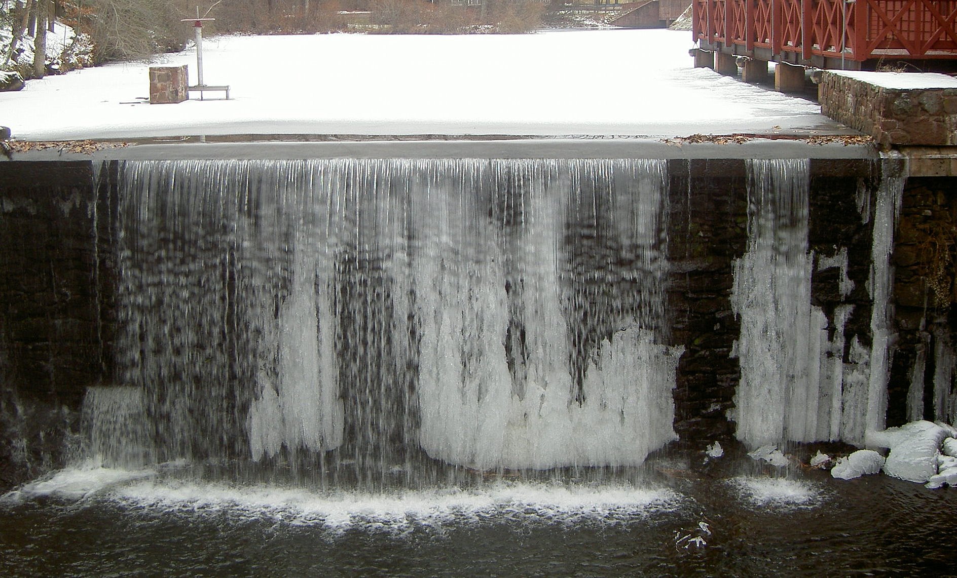
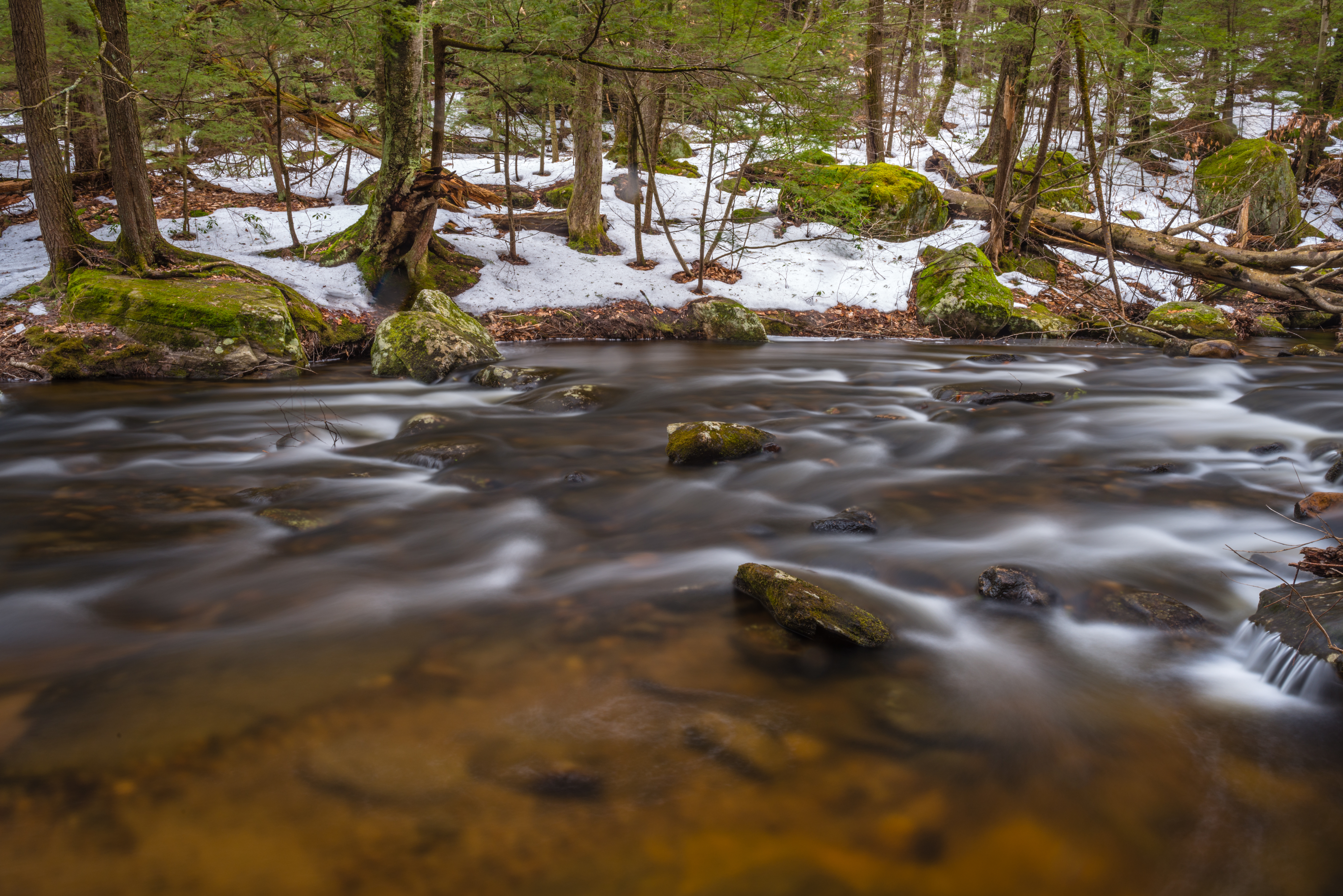
water freezes in the most beautiful of places

Sikorsky VS-44A 'Excambian'"
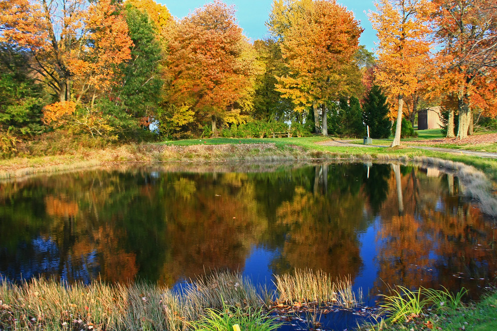
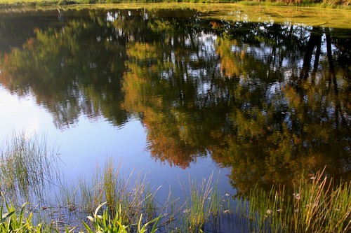
Reflect on This

B-29 Superfortress: Jack's Hack
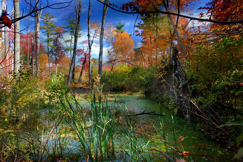
Scummy Little Swamp
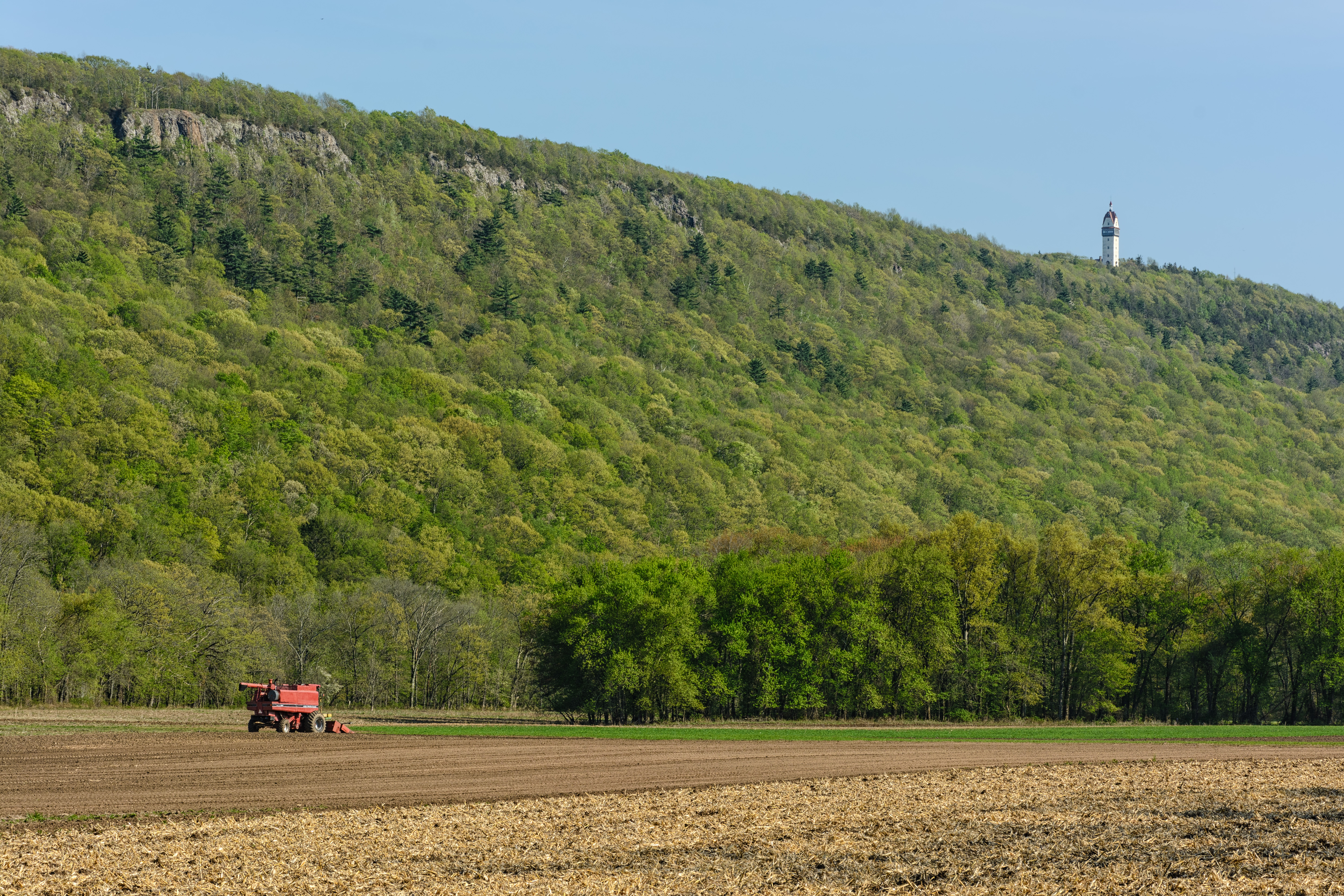
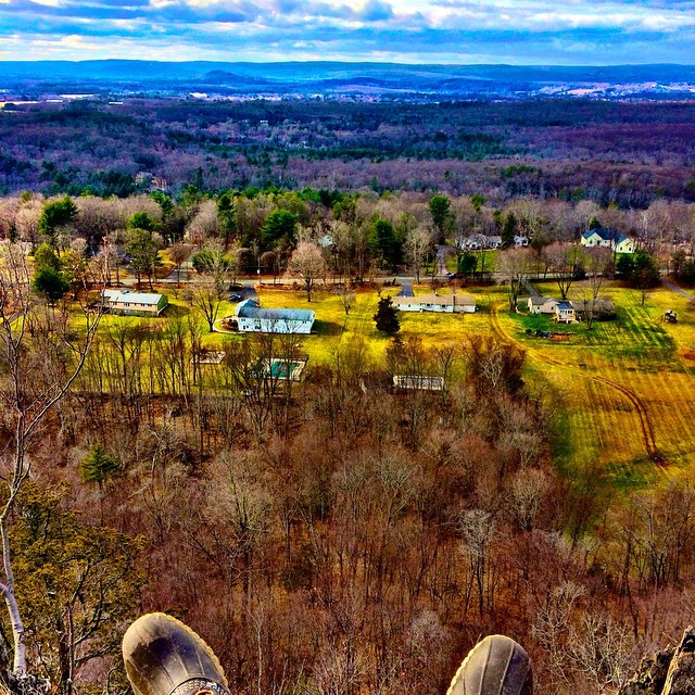
Talcott Mountain & Heublein Tower from the Farmington River Valley, Simsbury, Connecticut
From the tee to the Sky

14: Rear view
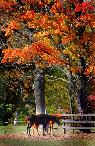
Just Hanging Out
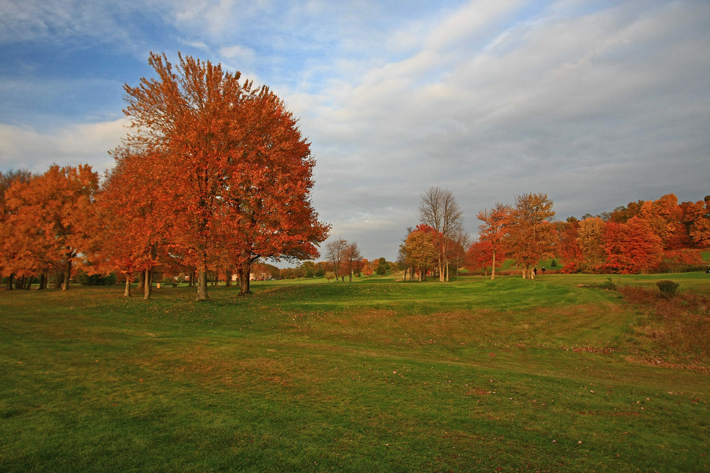
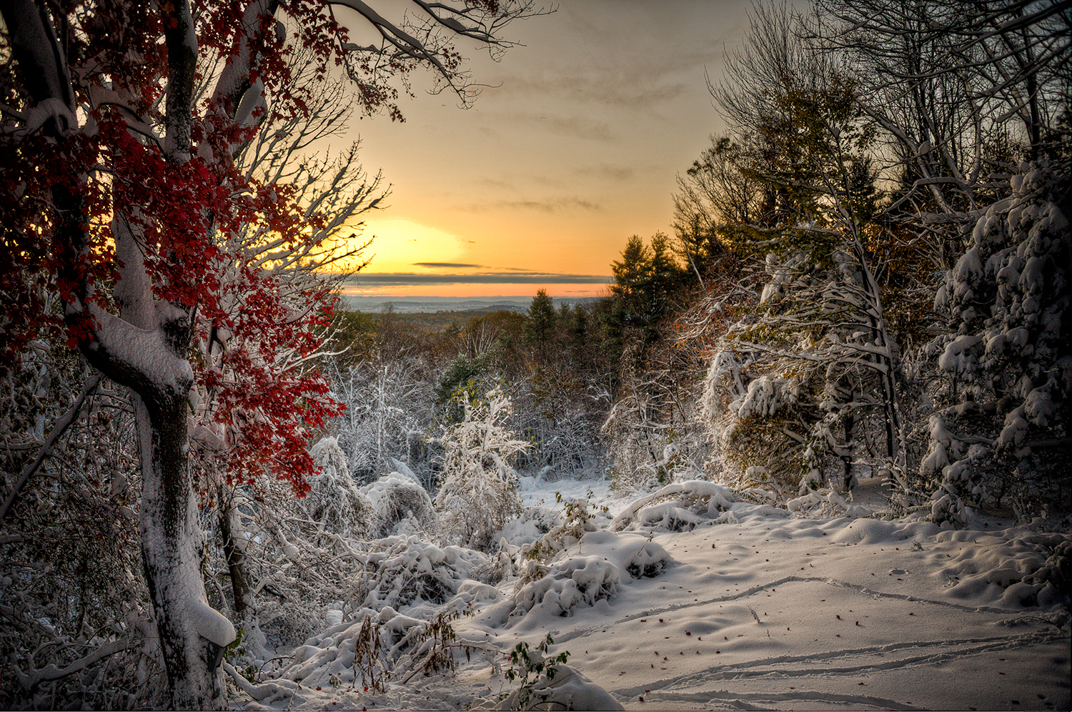
It's Fall!

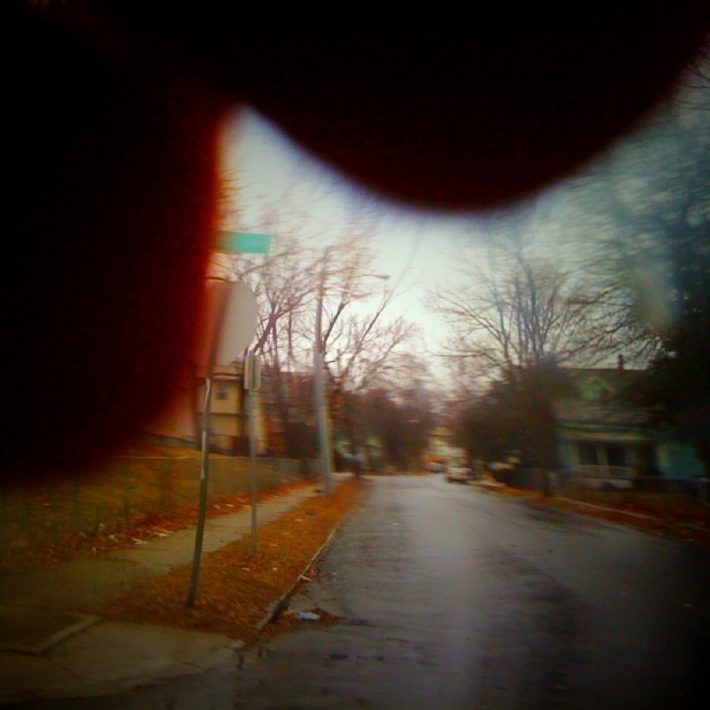
Down in Front, Please

The Last Shot of the Day
Searching for My Ball

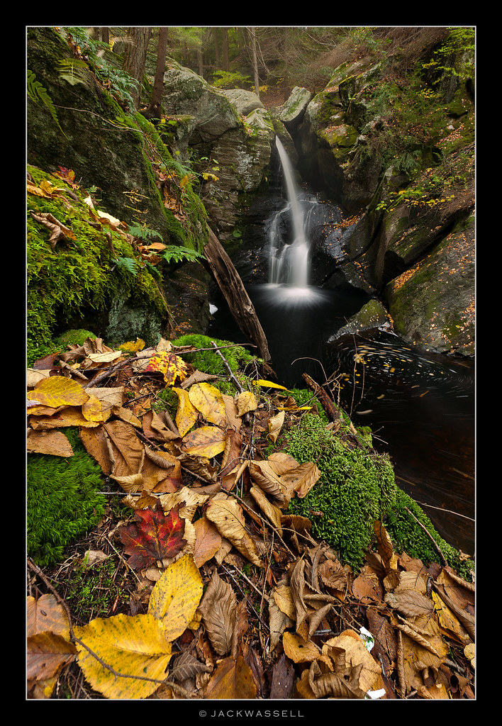
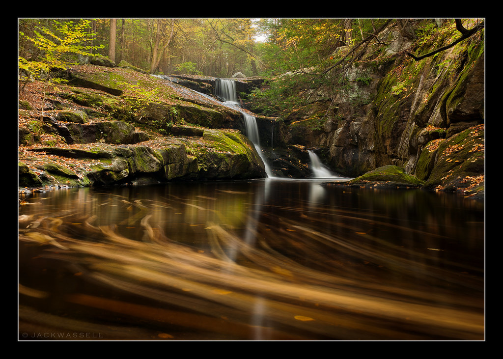
Enders falls
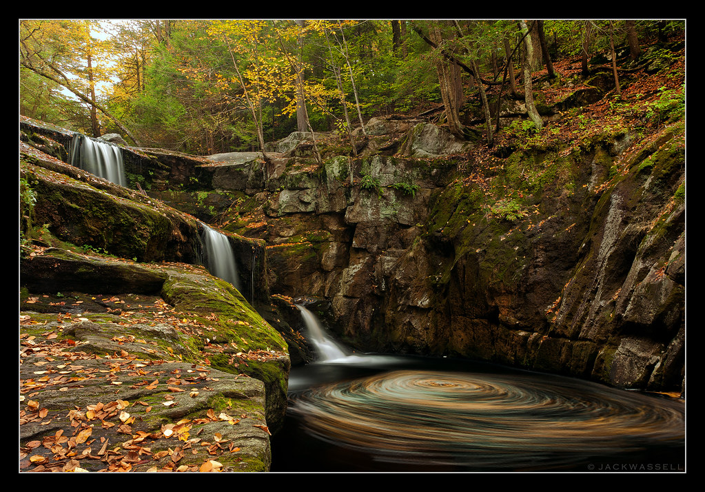
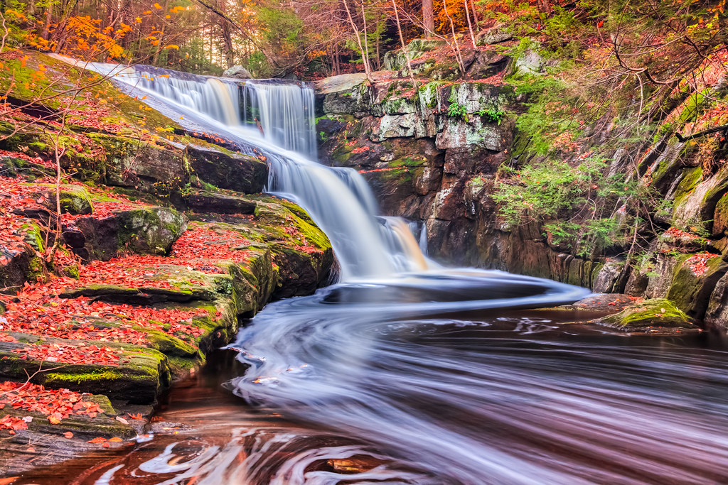
Autumn Swirls
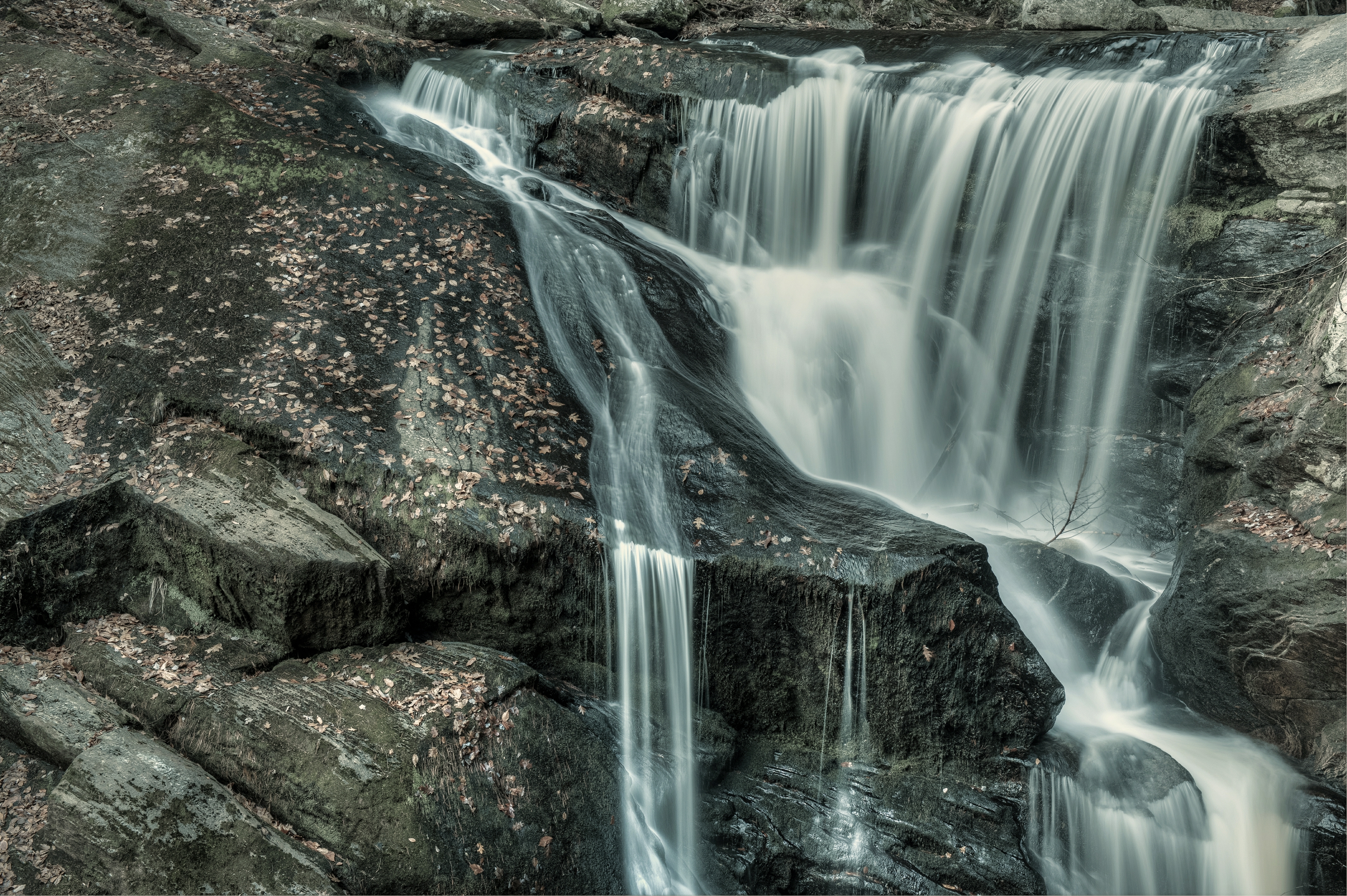
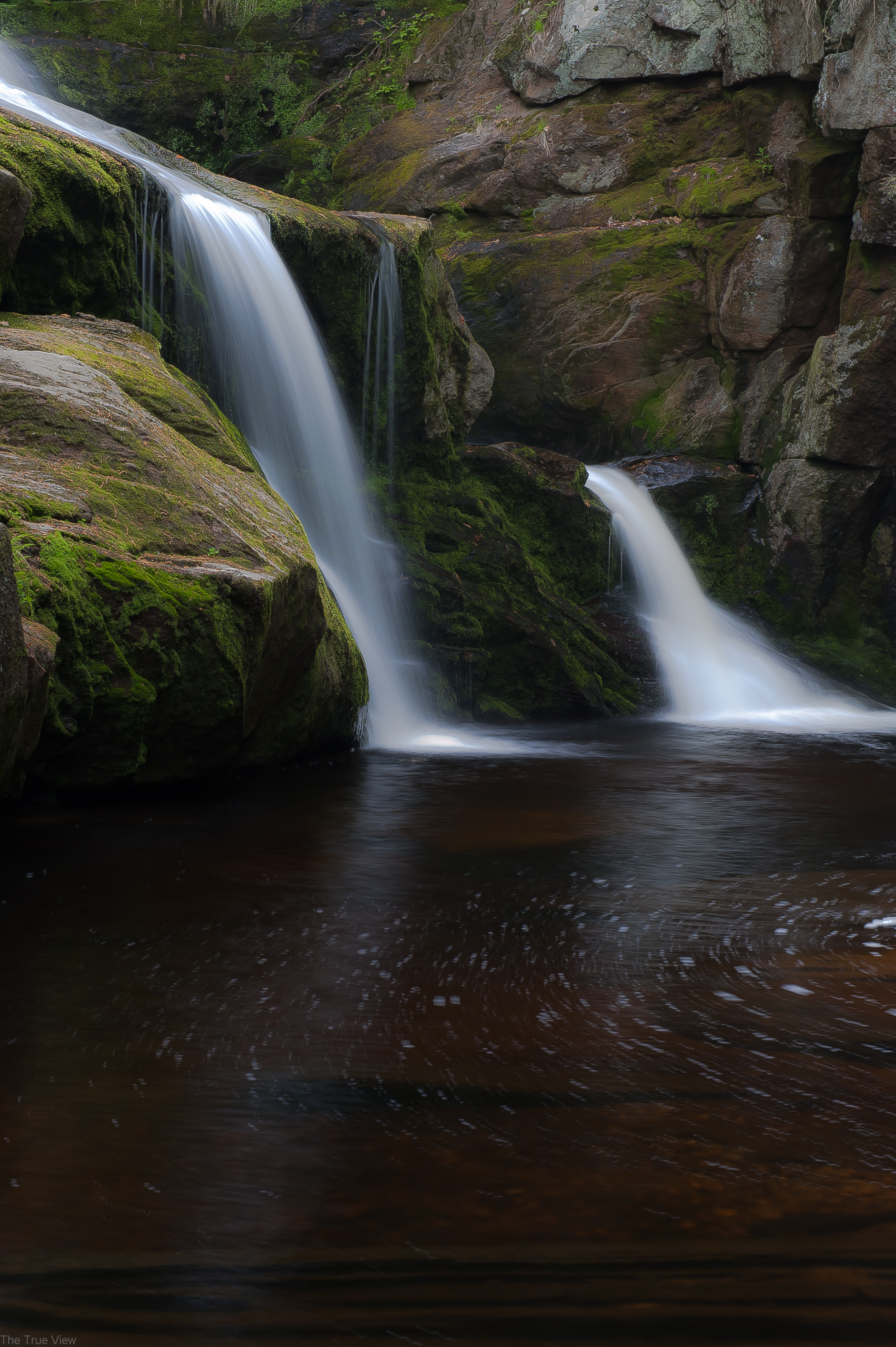
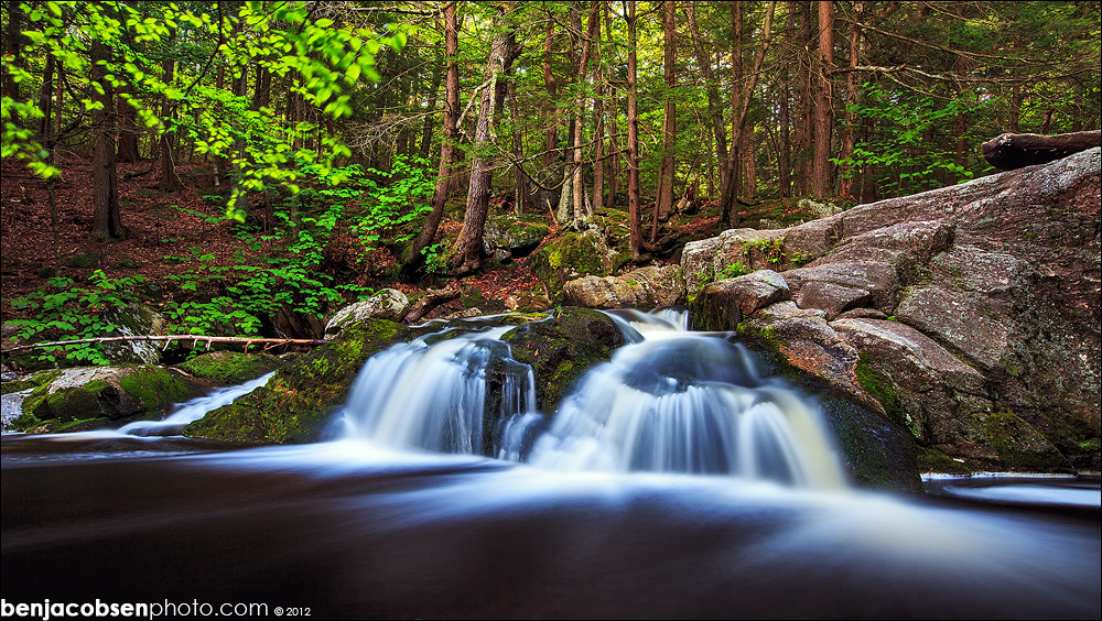
Enders Falls
I Keep on Fallin'
Enders Falls
Autumn Race

Can't Change the Weather
Enders Falls
Enders stream

Enders little falls

Enders SP - Granby, CT
DSC_0012.jpg

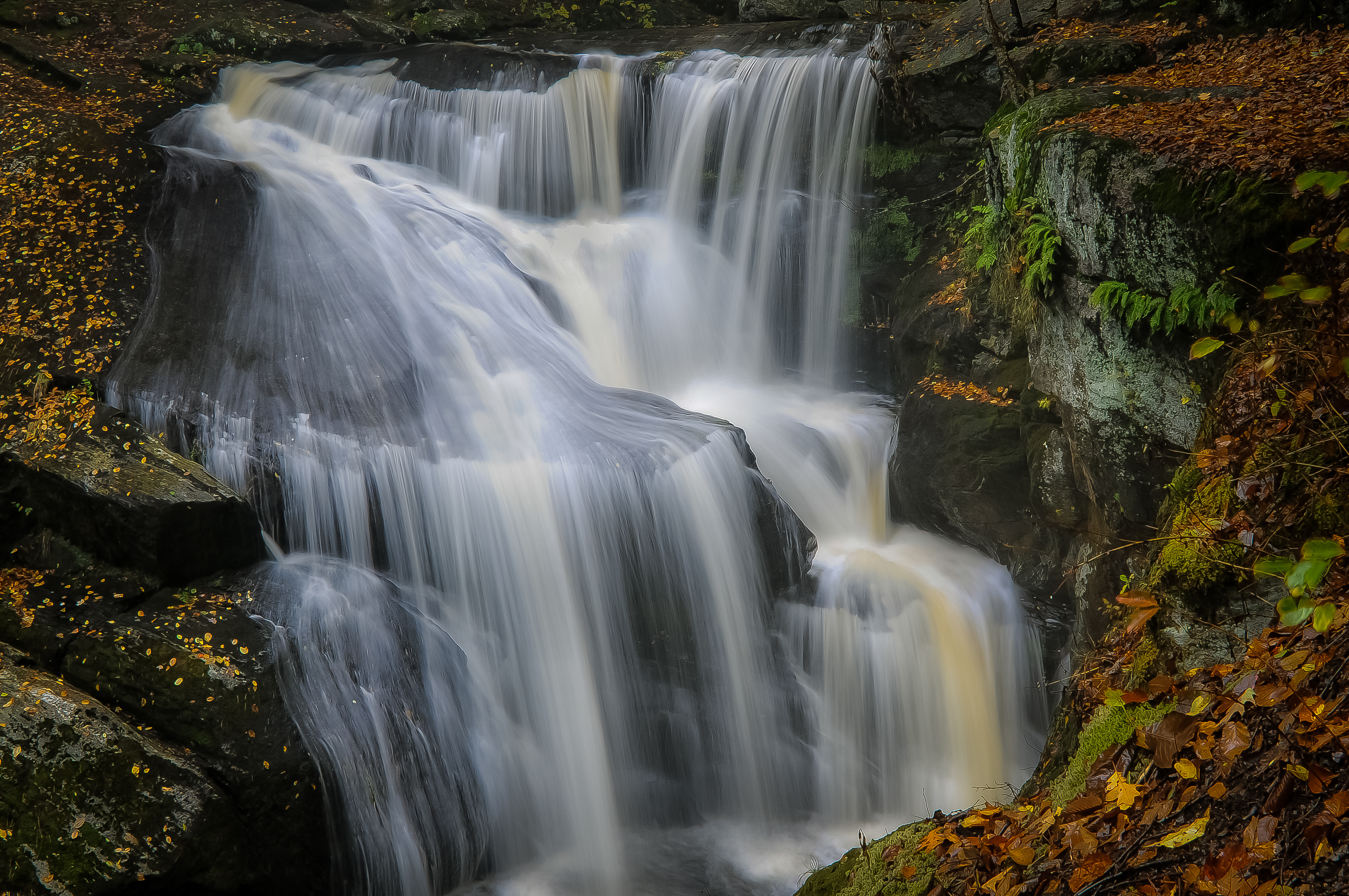
Enders main falls
Enders 3
All the way to Springfield
@seife_
DSC_0004.jpg

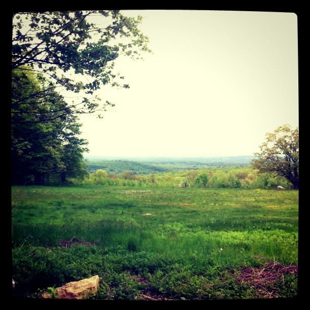
Out for a Hike
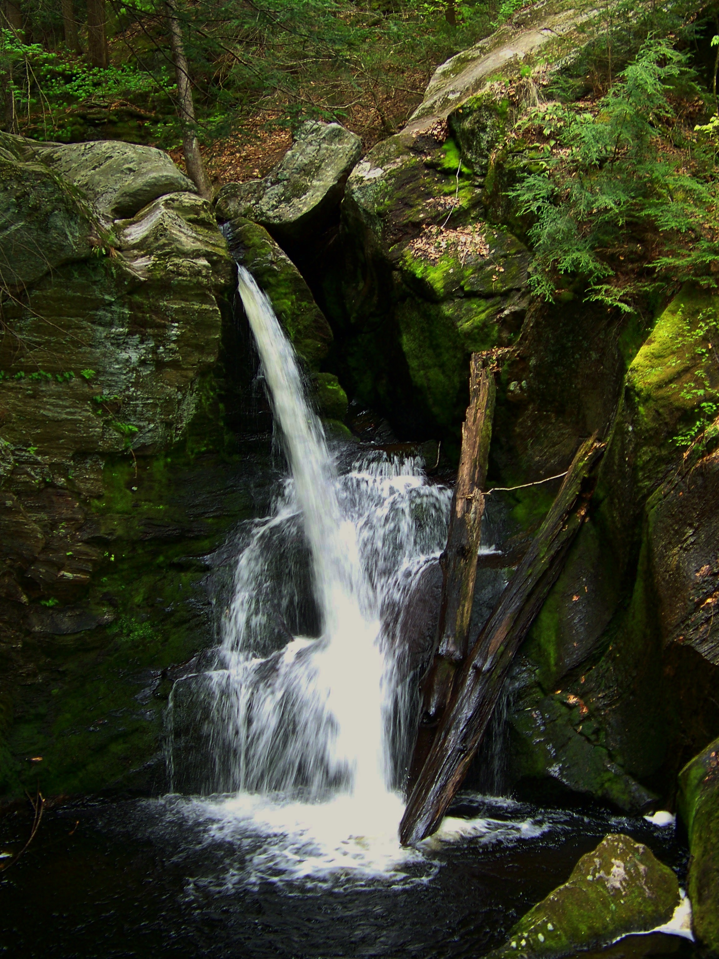
Enders upper falls

I don't know if #god exists...but yesterday was the closest I came! #dwlp #drawingwithlightphotography #landscape #photography
Topographic Map of Granby, CT, USA
Find elevation by address:

Places in Granby, CT, USA:
North Granby
West Granby
N Granby Rd, Granby, CT, USA
Hungary Rd, Granby, CT, USA
North Granby Road
Salmon Brook
Places near Granby, CT, USA:
Salmon Brook
18 Roundhill Rd
2 Chatsworth Rd
14 Granby Farms Rd
100 Salmon Brook St
Hungary Rd, Granby, CT, USA
North Granby Road
516 Salmon Brook St
16 Maple Hill Dr
N Granby Rd, Granby, CT, USA
14 Fawn Dr
15 Reed Hill Rd
17r Reed Hill Rd
34 Holcomb Hill Rd
19 Kearns Dr
19 Kearns Dr
141r Wells Rd
10r Black Oak Dr
40 Haven Dr
78 Harmony Hill Rd
Recent Searches:
- Elevation of Corso Fratelli Cairoli, 35, Macerata MC, Italy
- Elevation of Tallevast Rd, Sarasota, FL, USA
- Elevation of 4th St E, Sonoma, CA, USA
- Elevation of Black Hollow Rd, Pennsdale, PA, USA
- Elevation of Oakland Ave, Williamsport, PA, USA
- Elevation of Pedrógão Grande, Portugal
- Elevation of Klee Dr, Martinsburg, WV, USA
- Elevation of Via Roma, Pieranica CR, Italy
- Elevation of Tavkvetili Mountain, Georgia
- Elevation of Hartfords Bluff Cir, Mt Pleasant, SC, USA