Elevation of Grímsvötn, Iceland
Location: Iceland > South >
Longitude: -17.322181
Latitude: 64.4166835
Elevation: 1340m / 4396feet
Barometric Pressure: 86KPa
Elevation Map:
Satellite Map:
Related Photos:
View to Bárðarbunga volcano - Iceland

Í Grímsvötnum

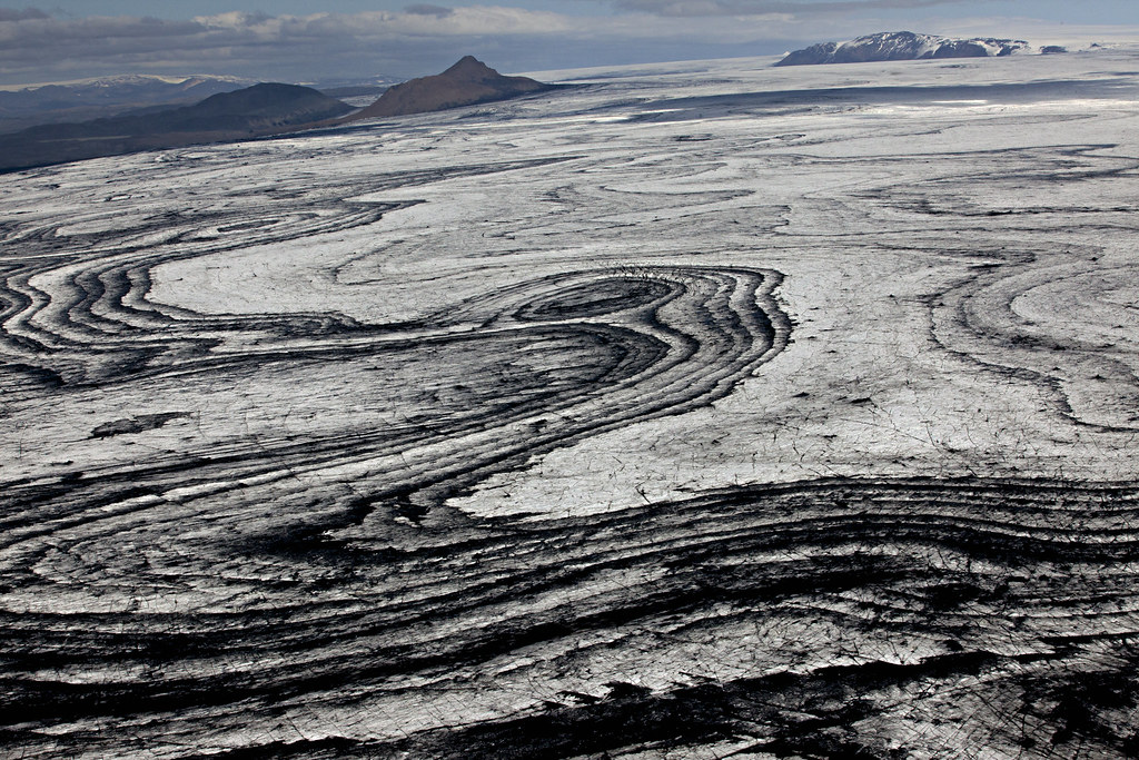
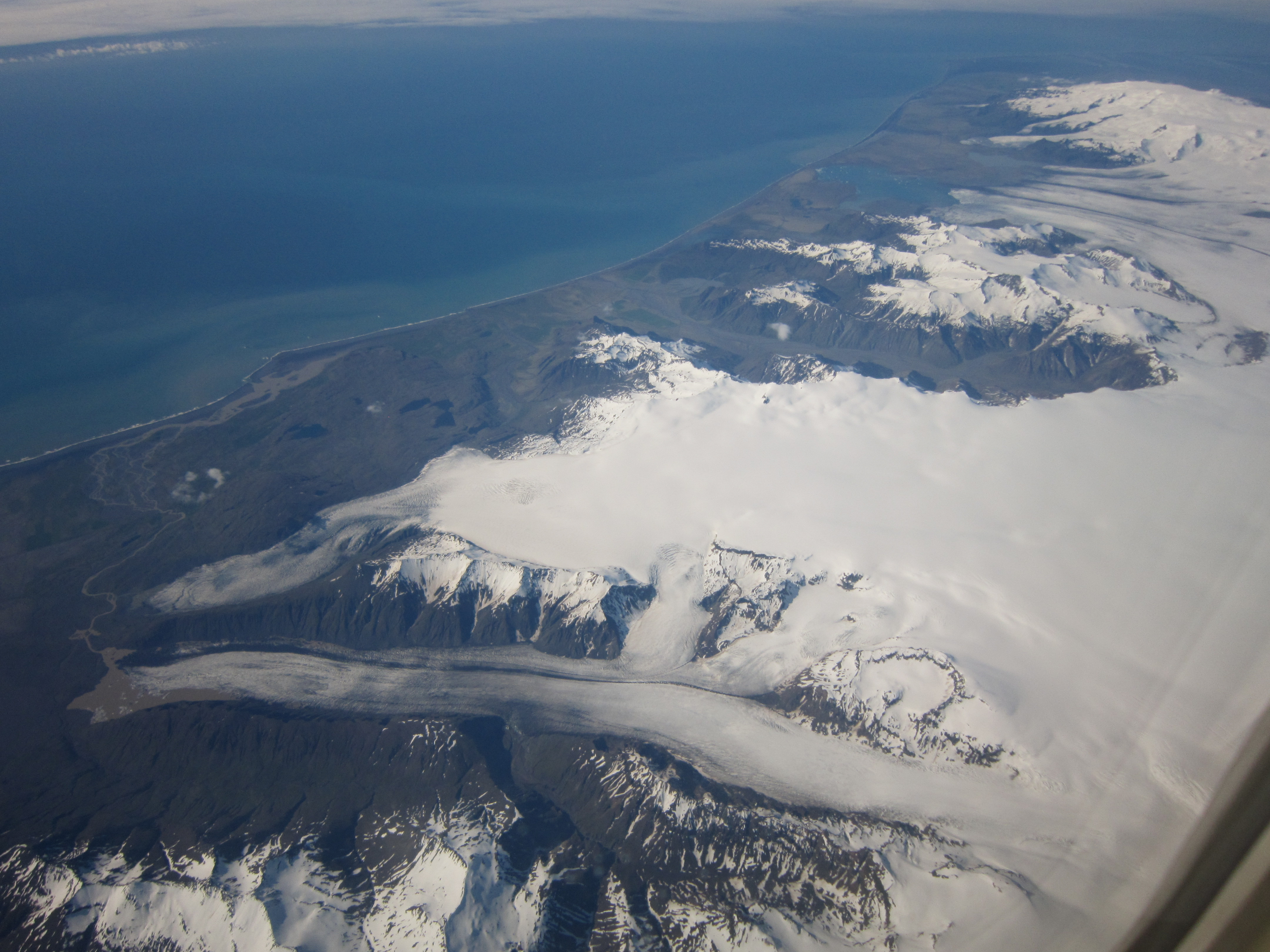
Glaciers of Southeast Iceland from above
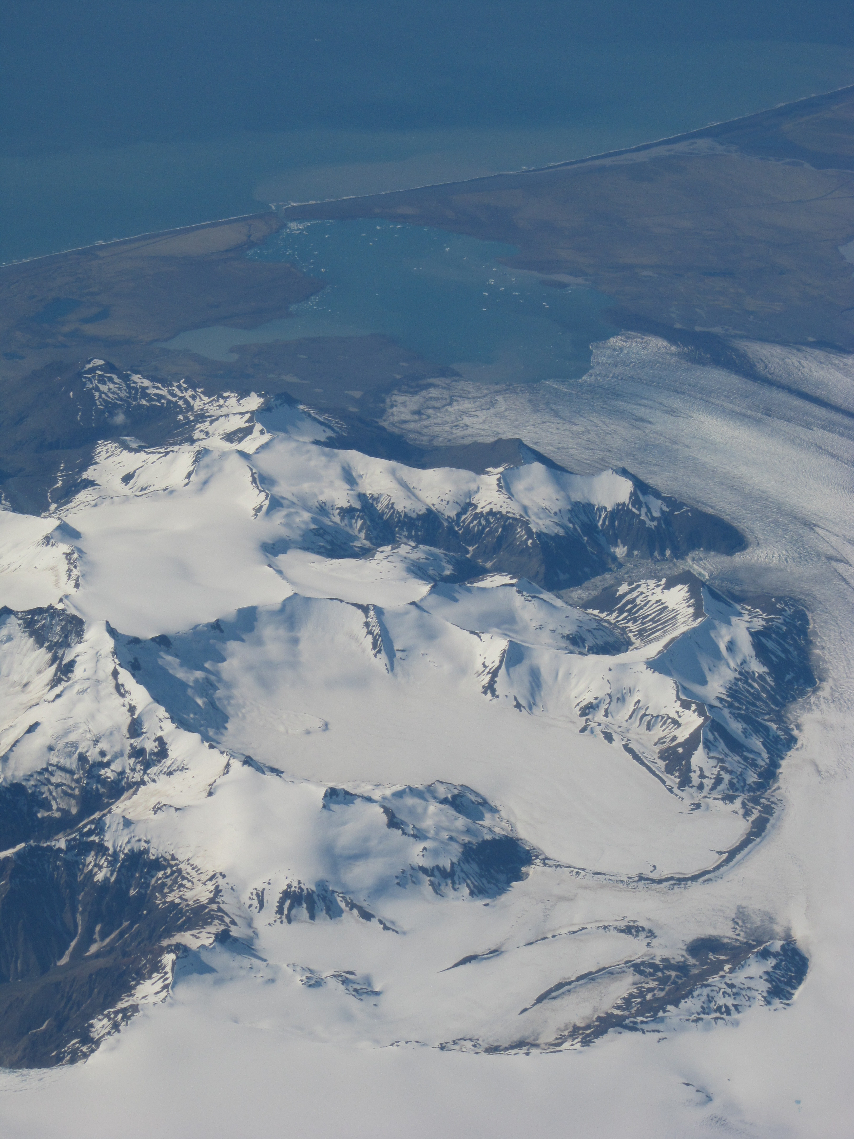
Glaciers of Southeast Iceland from above

On top of Vatnajökull glacier
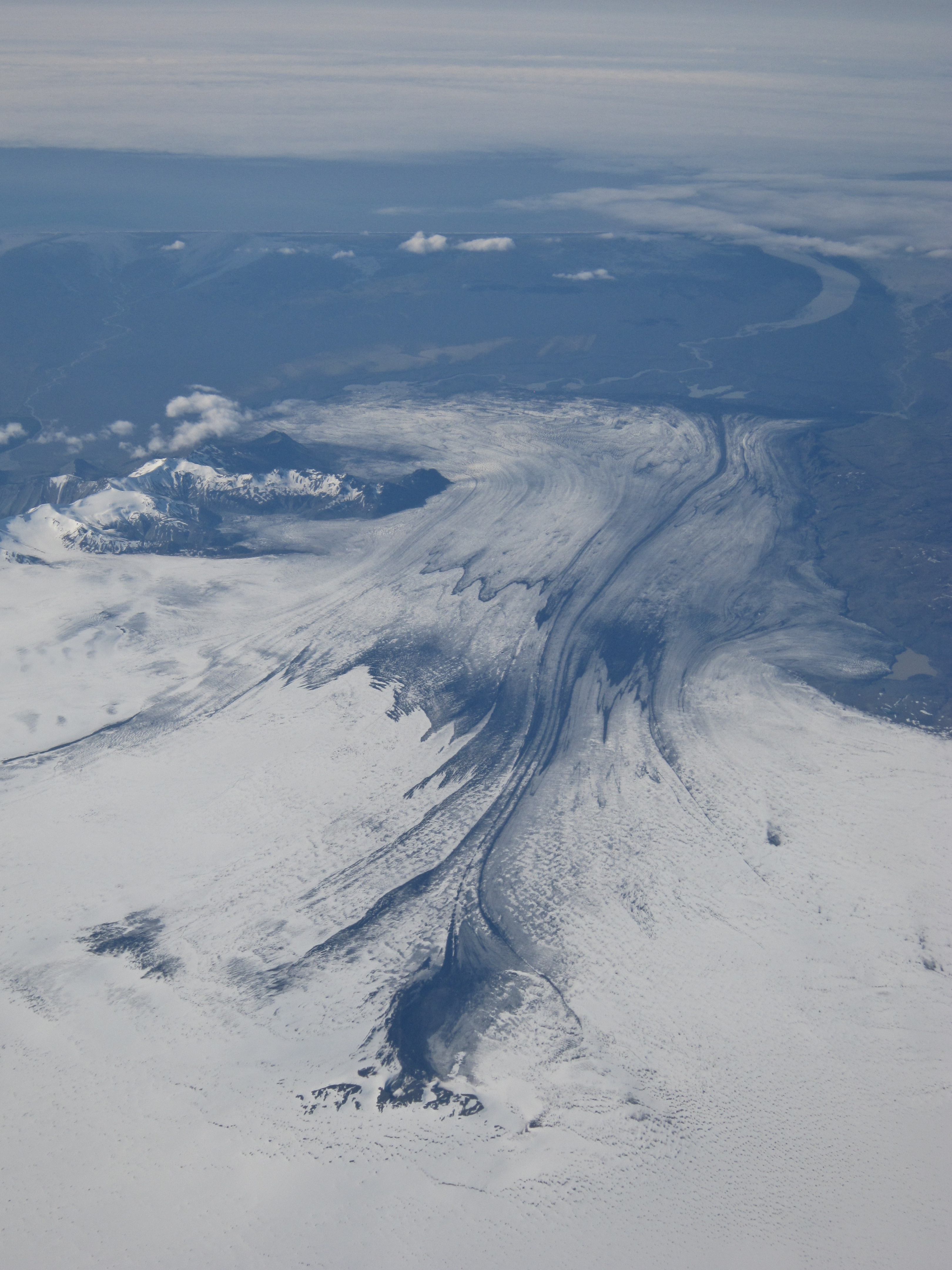
Glaciers of Southeast Iceland from above

Glaciers of Southeast Iceland from above
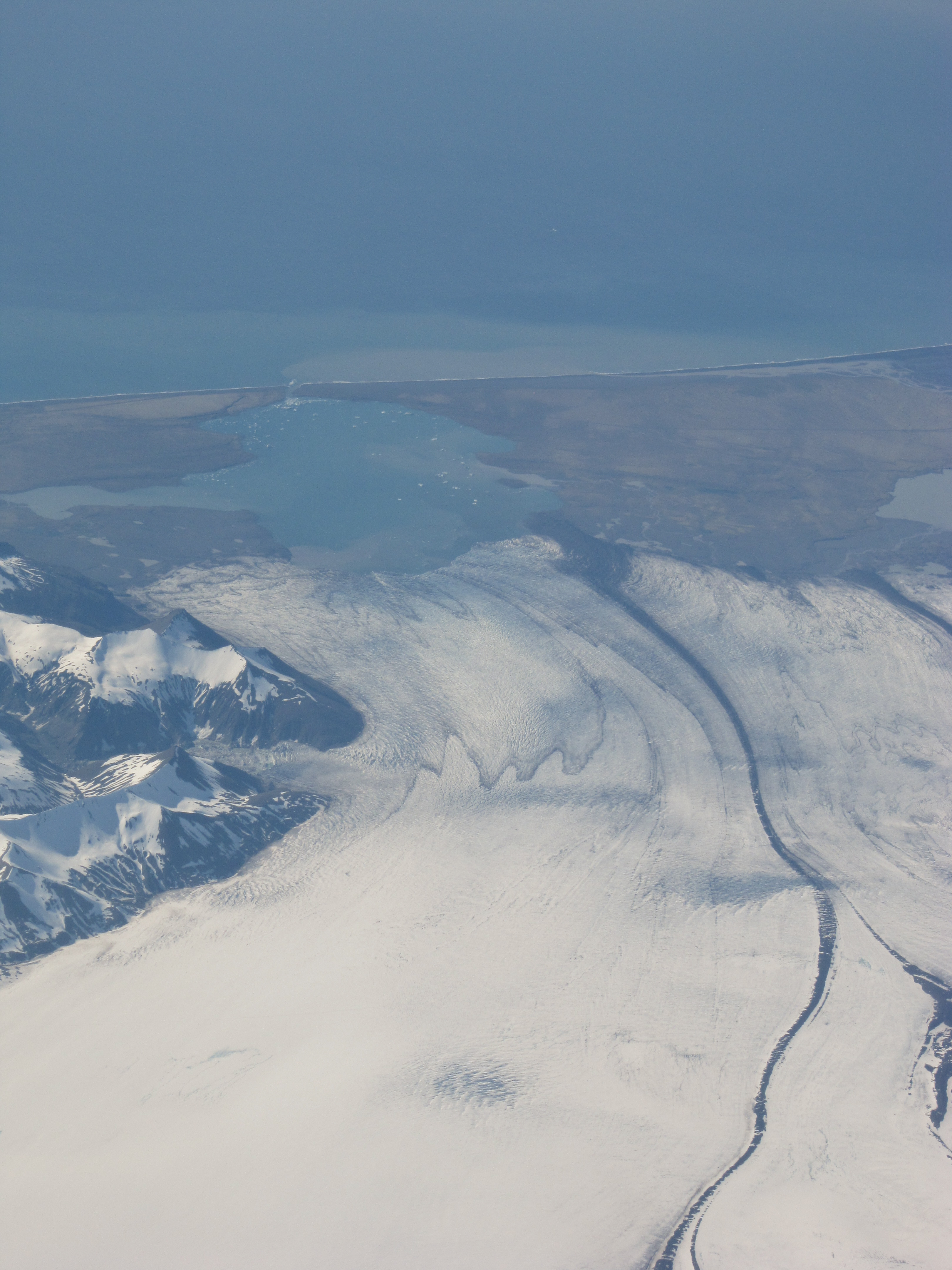
Glaciers of Southeast Iceland from above
Glaciers of Southeast Iceland from above

Glaciers of Southeast Iceland from above
Topographic Map of Grímsvötn, Iceland
Find elevation by address:

Places near Grímsvötn, Iceland:
Recent Searches:
- Elevation of Groblershoop, South Africa
- Elevation of Power Generation Enterprises | Industrial Diesel Generators, Oak Ave, Canyon Country, CA, USA
- Elevation of Chesaw Rd, Oroville, WA, USA
- Elevation of N, Mt Pleasant, UT, USA
- Elevation of 6 Rue Jules Ferry, Beausoleil, France
- Elevation of Sattva Horizon, 4JC6+G9P, Vinayak Nagar, Kattigenahalli, Bengaluru, Karnataka, India
- Elevation of Great Brook Sports, Gold Star Hwy, Groton, CT, USA
- Elevation of 10 Mountain Laurels Dr, Nashua, NH, USA
- Elevation of 16 Gilboa Ln, Nashua, NH, USA
- Elevation of Laurel Rd, Townsend, TN, USA