Elevation of Goshen Rd, Engelhard, NC, USA
Location: United States > North Carolina > Hyde County > Lake Landing > Engelhard >
Longitude: -76.008369
Latitude: 35.479792
Elevation: 0m / 0feet
Barometric Pressure: 101KPa
Elevation Map:
Satellite Map:
Related Photos:
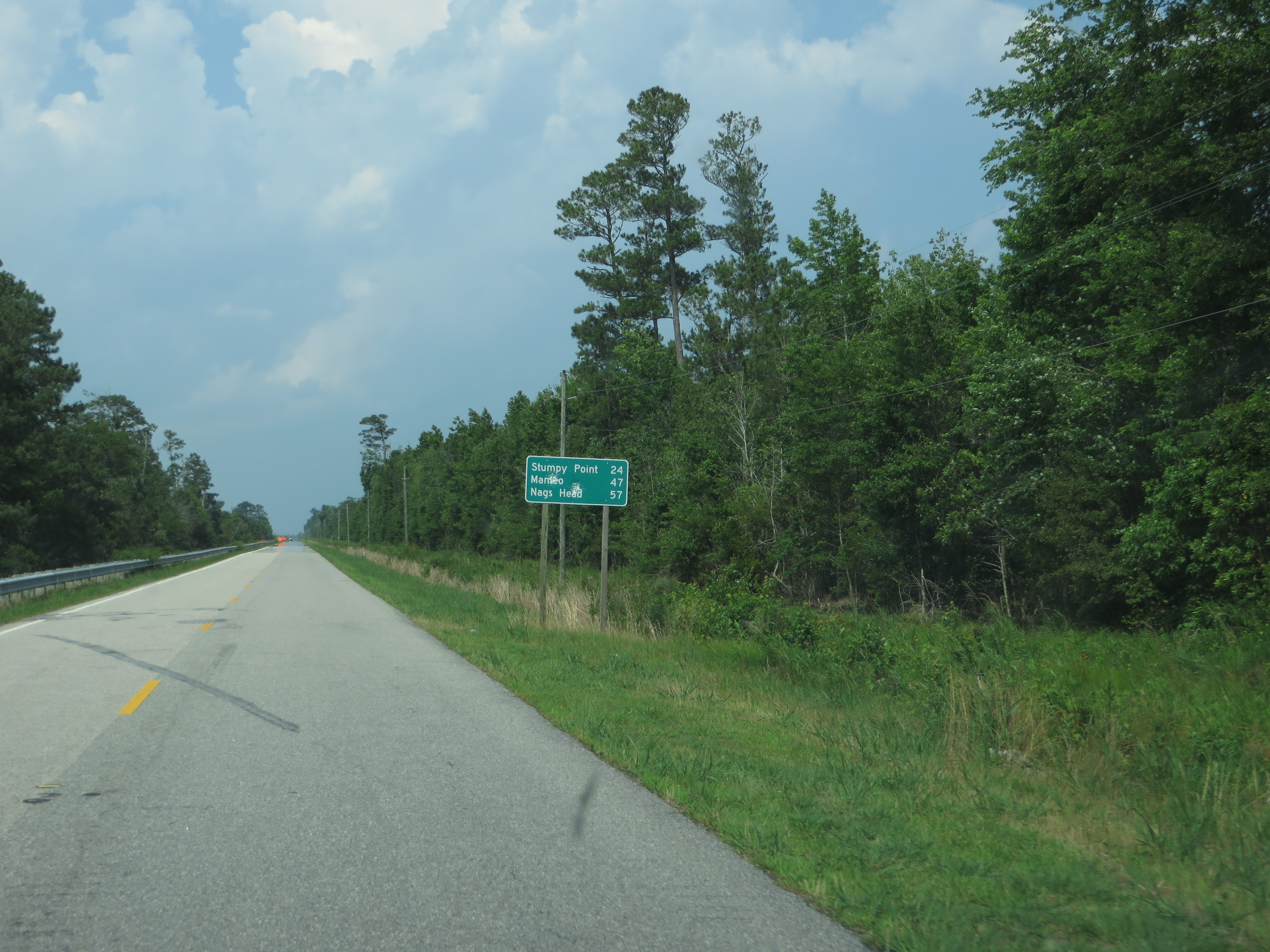
U.S. 264 Between Engelhard and U.S. 64, North Carolina

Snowy Ruin

Trees in Motion

U.S. 264 Near Lake Mattamuskeet, North Carolina

Mattamuskeet Lodge

Marsh land Mattamuskeet Wildlife Refuge NC 0543

Marsh land Mattamuskeet Wildlife Refuge NC 0541

Path thru the Trees Mattamuskeet Wildlife Refuge NC 0532

Mattamuskeet Wildlife Refuge NC 0534

Trees Mattamuskeet Wildlife Refuge NC 0528

Reflection Mattamuskeet Wildlife Refuge NC 0524
Topographic Map of Goshen Rd, Engelhard, NC, USA
Find elevation by address:

Places near Goshen Rd, Engelhard, NC, USA:
11 White Plains Rd, Engelhard, NC, USA
1179 White Plains Rd
White Plains Rd, Engelhard, NC, USA
311 Lazy Ln
110 Lazy Ln
34306 Us-264
36 Marsh View Rd
100 Roper Ln
Engelhard
805 Swamp Rd
30600 Us-264
29 Mt Pleasant Village Rd, Engelhard, NC, USA
Lake Landing
Hyde County
Fairfield
Reek Road
Fairfield
Gum Neck
2813 N Gum Neck Rd
Farrow Rd, Swanquarter, NC, USA
Recent Searches:
- Elevation of Congressional Dr, Stevensville, MD, USA
- Elevation of Bellview Rd, McLean, VA, USA
- Elevation of Stage Island Rd, Chatham, MA, USA
- Elevation of Shibuya Scramble Crossing, 21 Udagawacho, Shibuya City, Tokyo -, Japan
- Elevation of Jadagoniai, Kaunas District Municipality, Lithuania
- Elevation of Pagonija rock, Kranto 7-oji g. 8"N, Kaunas, Lithuania
- Elevation of Co Rd 87, Jamestown, CO, USA
- Elevation of Tenjo, Cundinamarca, Colombia
- Elevation of Côte-des-Neiges, Montreal, QC H4A 3J6, Canada
- Elevation of Bobcat Dr, Helena, MT, USA